Top 11 Mountain Passes around Duesaigües
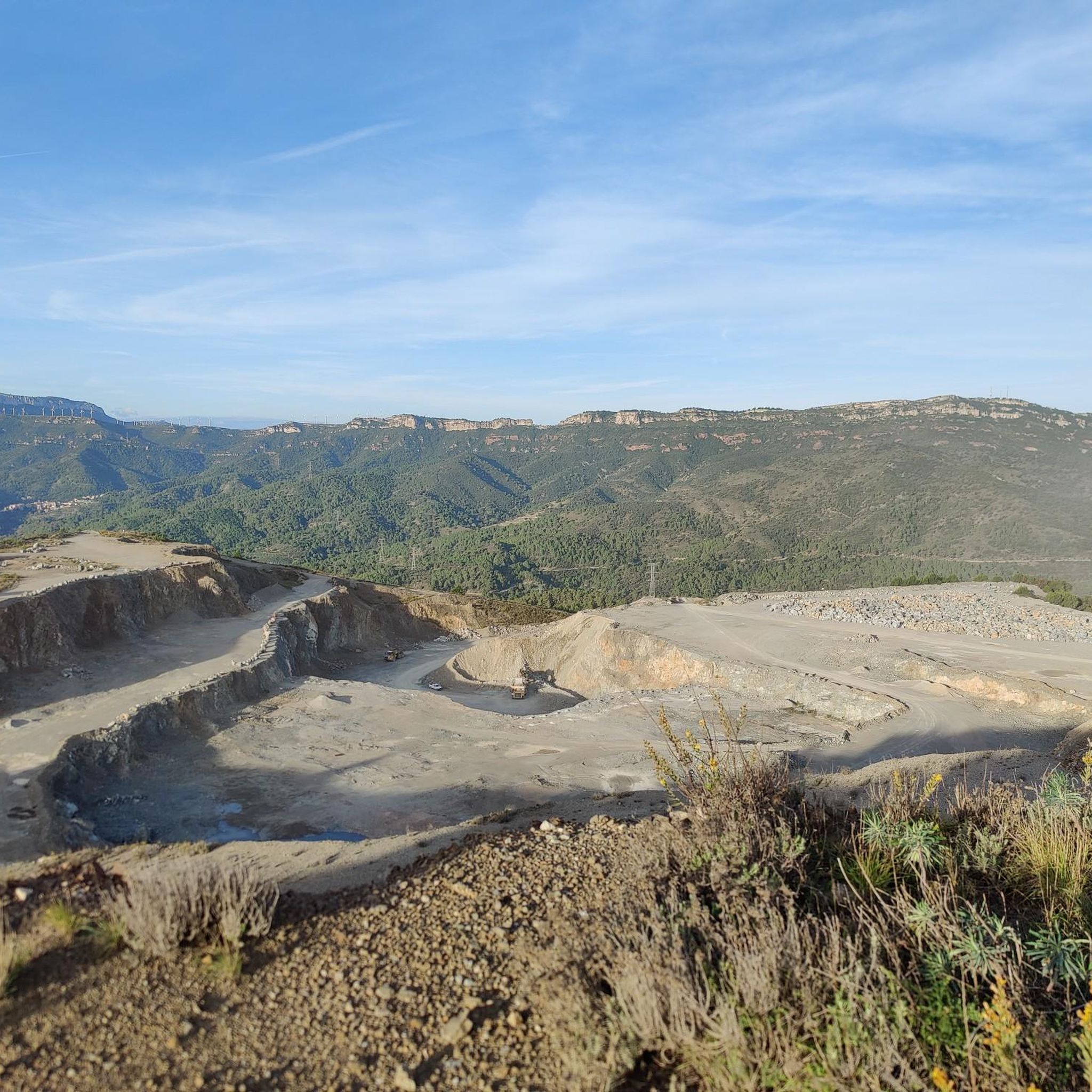
Mountain passes around Duesaigües, a municipality in the mountainous interior of the Baix Camp region, offer access to elevated areas for exploration. The area is characterized by its natural landscape, bordering Priorat and featuring significant mountain ranges. These passes provide challenging routes and varied terrain for outdoor activities. The region's geological formations, including red sandstone, contribute to its distinctive character.
Best mountain passes around Duesaigües
- The most popular mountain pass is Coll d'Albarca, a mountain pass and viewpoint situated…
Last updated: May 20, 2026
Coll d'Albarca
Highlight (Segment) • Mountain Pass
Translated by Google •
Tip by

Coll d'Alforja
Highlight (Segment) • Mountain Pass
Translated by Google •
Tip by
Sign up now to discover places like this
Get recommendations on the best single tracks, peaks, & plenty of other exciting outdoor places.
Sign up for free
Coll de la Teixeta
Highlight • Mountain Pass
Translated by Google •
Tip by

Coll Roig Pass (Colldejou)
Highlight (Segment) • Mountain Pass
Translated by Google •
Tip by
Coll de Porrera (La Paret)
Highlight • Mountain Pass
The ascent to the pass ends at an altitude of 531 meters and, …
Translated by Google •
Tip by

Sign up for free to discover even more mountain passes around Duesaigües.
Sign up for free
Already have an account?
Start today with a free account
Your next adventure awaits.
Login or Signup

Tips from the Community


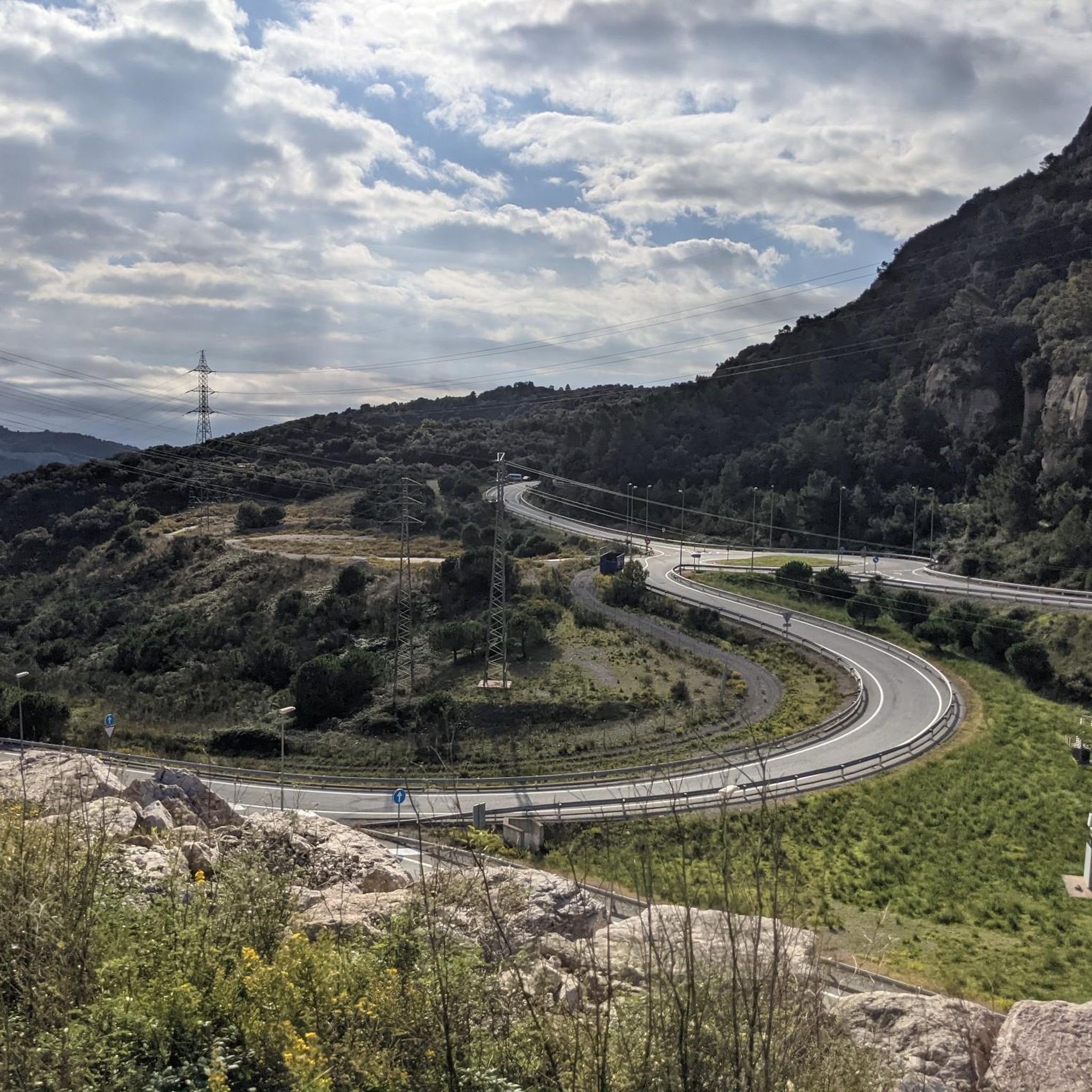
Pass between Tarragona and towards Teruel along the N420. It is also a crossing point for the GR7, on a gravel route you can follow the Porrera path towards Argentera, under the cliffs of the Serra de Llaberia.
1
1
This mountain pass is the passage from the Serra de Montsant towards the Serra de Llaberia, and is also a crossroads between Tarragona and Aragon, towards Alcanyís on the N420. It is also a crossing point for the GR7.
1
1


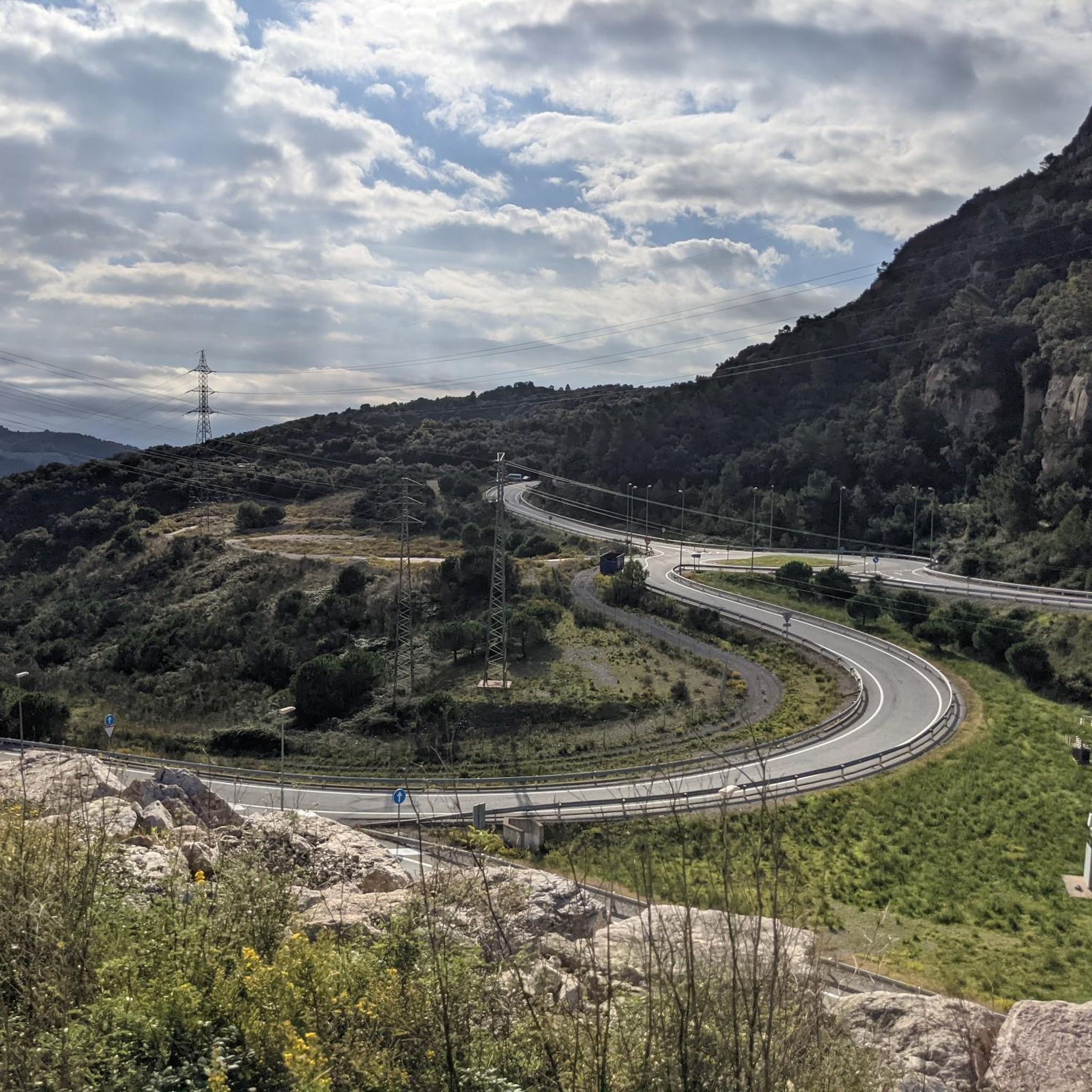
The southern slope of this port is very steep (like the vast majority in the area). There are no significant ramps, always below 6%. Unlike the passes in the Prades and Montsant mountains, this pass has long straights and the road is not winding. The views from the top are very beautiful, especially towards the north slope. In spring, the descent down the northern slope towards Ulldemolins is amazing, with a very striking contrast of yellow, green and red. In my opinion, as indicated on the website www.cyclingcols.com, the southern slope of this port begins before Cornudella de Montsant, specifically at the junction with the T-702 road, where you can go to Poboleda or Cornudella del Montsant . I leave you the link with the cyclingcols.com profile -- http://www.cyclingcols.com/col/Albarca
0
0
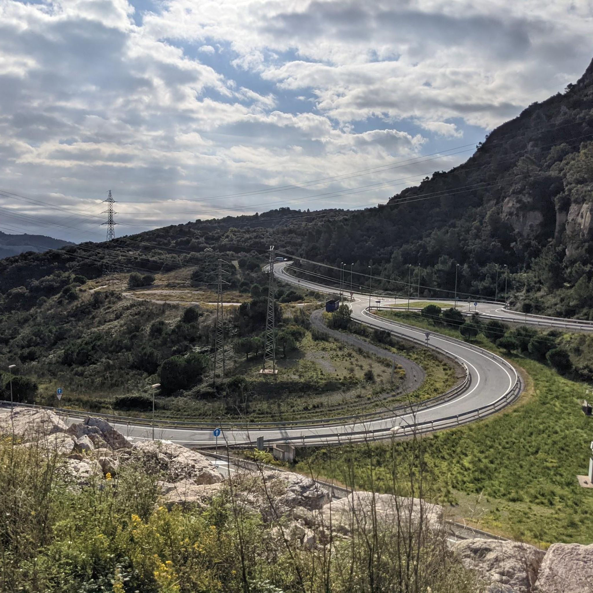
It's a gradual 5km climb with an average gradient of 4.8%, along a very winding road (as are all the roads in the area), which is usually busy on weekends. The climb is mostly open and offers views, except for the final section which is covered by more vegetation. Upon reaching the summit, leaving to the left the road that climbs higher to Castillejos and the Alto de la Mussara, on clear days with good visibility, you can even see the sea.
0
0

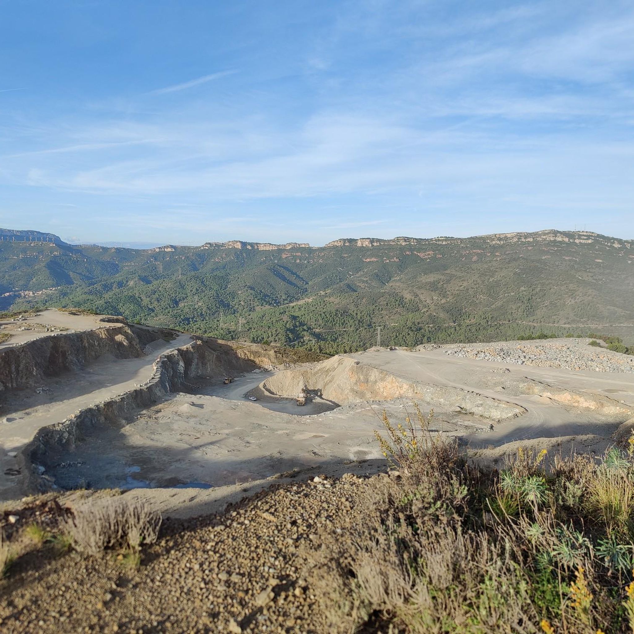
Coll de la Teixeta is a mountain pass that is 541 meters above sea level. It unites the Tarragona counties of Priorat and Baix Camp and is located between the Sierra de Puigcerver and the Sierra de Pradell.
1
0

Between the towns of Porrera and Cornudella de Montsant we find the Porrera pass or Marrades pass. The ascent to the pass ends at an altitude of 531 meters and, due to its steep slopes, along with the lack of sections to recover from, it is also known by the name of "La Pared". The views that can be seen are spectacular.
3
0
Frequently Asked Questions
Which mountain passes around Duesaigües are known for challenging cycling routes?
For experienced cyclists seeking a strenuous ascent, Coll de Pradell is a must-visit. It's renowned as one of Catalonia's toughest cycling passages, featuring gradients that can reach up to 20%. Another challenging option is Coll de Porrera (La Paret), also known as "The Wall," due to its steep slopes and lack of recovery sections.
What mountain passes offer the best panoramic views in the Duesaigües area?
Several passes provide stunning vistas. From Coll d'Albarca, you get beautiful views of the surrounding landscape, situated between the Serra de Montsant and Muntanyes de Prades. Coll d'Alforja offers views towards the sea on clear days. The summit of Coll de Pradell provides breathtaking panoramic views, including the iconic Pedraforca mountain. Additionally, from Escornalbou, especially near the castle, you can enjoy magnificent views encompassing the Sierra de Montsant, Gritella, and Prades Mountains.
Are there any mountain passes near Duesaigües with historical or cultural significance?
Yes, the mountain of Escornalbou is home to the historical Castell d'Escornalbou. This castle-monastery is a significant cultural heritage site, offering a blend of history and natural beauty. The ascent to the castle provides a rewarding climb with historical context.
What unique natural features can be observed on the mountain passes around Duesaigües?
The region is characterized by distinctive geological formations, particularly around Escornalbou. Here, you can find red sandstone formations known as "taffoni," which have inspired artists like Miró and architects such as Gaudí. The varied terrain across the passes also includes forested sections and open landscapes.
What is the best time of year to visit the mountain passes around Duesaigües?
While specific seasonal tips for all passes aren't provided, the region's natural beauty suggests spring and autumn would be ideal for comfortable temperatures and vibrant scenery. For example, the descent from Coll d'Albarca towards Ulldemolins in spring offers a striking contrast of yellow, green, and red. Trail running events in Serra de Pradell highlight rewarding views as dusk settles, suggesting pleasant conditions in the late afternoon/early evening.
Are there family-friendly options for exploring mountain passes near Duesaigües?
While some passes offer challenging climbs, the ascent to Escornalbou is classified as a Category 3 climb, covering 3.18 kilometers with a steady elevation gain, making it a manageable yet rewarding introduction to mountain climbing or cycling for those with some experience. For hiking, the "Trails steeped in history in Escornalbou" route is a moderate 7.9 km hike, which could be suitable for active families.
What outdoor activities can I do near the mountain passes of Duesaigües?
The area around Duesaigües offers a variety of outdoor activities. You can find numerous hiking trails, including a moderate 7.9 km route called "Trails steeped in history in Escornalbou." For cycling, there are routes like the "Duesaigües, L'Argentera, Mont-roig del Camp – circular route." Gravel biking is also popular, with options such as the "La Teixeta Pass – Riudecanyes Reservoir loop." You can explore more options in the hiking, cycling, and gravel biking guides for Duesaigües.
Which mountain pass connects the Priorat and Baix Camp regions?
Coll de la Teixeta is a prominent mountain pass situated at 541 meters above sea level. It acts as a natural bridge, connecting the Tarragona counties of Priorat and Baix Camp, and is located between the Sierra de Puigcerver and the Sierra de Pradell.
Are there any mountain passes that connect the Priorat wine region with the coastal area?
Coll d'Alforja serves this purpose, connecting the Priorat wine region with the coastal area. It features a gradual 5 km climb with an average gradient of 4.8%, offering views towards the sea on clear days.
What is special about Coll Roig Pass (Colldejou)?
Coll Roig Pass (Colldejou) connects the towns of Mont-roig del Camp and La Torre de Fontaubella. The road winds through wooded areas, but near Colldejou, it also offers views of the sea. A distinctive feature is the wind turbines at the pass's highest point, which are visible from afar and accessible via a very steep, paved road.
What do visitors appreciate most about the mountain passes around Duesaigües?
Visitors appreciate the tranquil roads and picturesque scenery, especially within the Priorat region, as found at Coll de la Teixeta. The challenging climbs and the immense satisfaction of conquering steep sections, like those at Coll de Pradell, are highly valued by experienced cyclists. The blend of cultural heritage, natural beauty, and rewarding climbs, such as the one to Escornalbou, also draws many visitors.
Most popular routes around Duesaigües
Most popular attractions around Duesaigües

Get inspired with the komoot mobile app


Explore more
See even more epic mountain passes by checking out these guides around Duesaigües:
