Top 5 Mountain Passes around Villanueva De Viver
Best mountain passes around Villanueva De Viver are found in the mountainous Alto Mijares region of Castellón, Spain. The area is situated at an altitude of approximately 900 meters, characterized by pine forests and dramatic ravines. This landscape provides opportunities for exploring elevated terrain, including challenging routes for hikers and cyclists. The region features a network of paths suitable for experiencing its natural beauty and varied topography.
Best mountain passes around Villanueva De Viver
- The most popular mountain passes is…
Last updated: July 1, 2026
Los Molares Pass
Highlight • Mountain Pass
Translated by Google •
Tip by

Puerto de Los Molares (Second Ascent)
Highlight • Mountain Pass
Translated by Google •
Tip by
Sign up now to discover places like this
Get recommendations on the best single tracks, peaks, & plenty of other exciting outdoor places.
Sign up for free
Fanzara to Montanejos Scenic Route
Highlight (Segment) • Trail
Translated by Google •
Tip by

Collado Pino Rey
Highlight • Mountain Pass
Translated by Google •
Tip by

Collado del Lobo
Highlight • Mountain Pass
Translated by Google •
Tip by

Start today with a free account
Your next adventure awaits.
Login or Signup
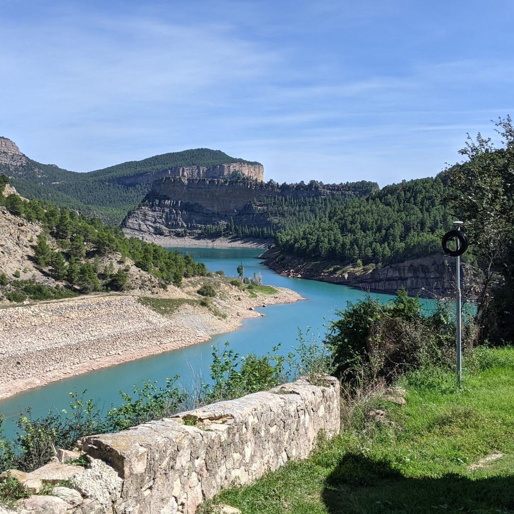
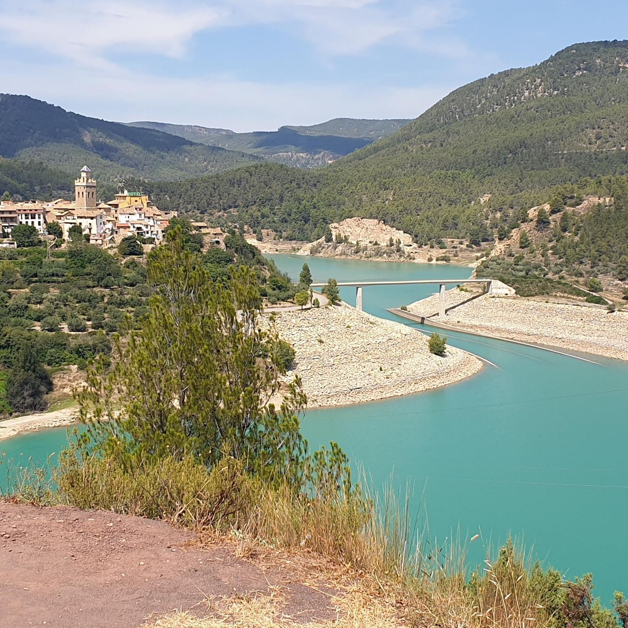
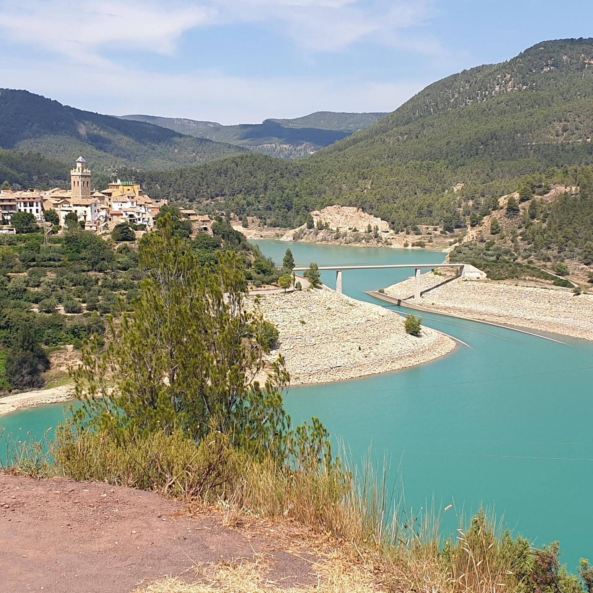
Tips from the Community

It is accessed from Collado del Lobo. It is one of the best-known peaks in the area. The final stretch is characterized by a large amount of loose white rock.
0
0
The climb to Enebral Hill passes through the Collado del Lobo. It's one of the best-known mountain bike climbs in the area.
1
0

somewhat difficult but very, very beautiful route
0
0

From Alto de Pino Rey you will have the best views of Pico de Santa Bárbara and its antennas.
0
0


Impressive views of Pina from this pass. The ascent is always under the shade of carefully cared for pine forests. A shot of energy...
0
0

Demanding stretch if done uphill from Fanzara to Montanejos. You pass through the port of Vallat, one of the most colorful and picturesque of Alto Mijares. In addition to being colorful, this section is very quiet, practically without traffic and with pavement in excellent condition.
3
0

Second ascent in the area of Caserío de Los Molares, on the inhospitable and deserted road that joins the towns of Montanejos and Cortes de Arenoso. It could have been included as an extension of the Puerto de los Molares, but there is a considerable drop between these two climbs that makes it inadvisable. After overcoming the dilapidated Caserío de Los Molares, this ascent of less than 2 kilometers begins whose summit slightly exceeds the Puerto de los Molares in altitude. Narrow and quite broken road that winds through a very dense forest area. Abundant shade, non-existent road traffic even in August. There is a maximum ramp at 13% but very short. After crowning there is a viewpoint to the left towards the Puebla de Arenoso reservoir, the Castle and Mount Santa Bárbara. It is not recommended to travel this path in reverse with the road bike, there are many holes.
0
0
Frequently Asked Questions
What are some of the most scenic mountain passes around Villanueva De Viver?
The region offers several scenic passes. The Fanzara to Montanejos Scenic Route is known for its picturesque views, especially the section over Vallat, and excellent pavement. Another beautiful option is Collado Pino Rey, which provides stunning views of Pico de Santa Bárbara and its antennas.
Are there challenging mountain passes for experienced cyclists in the area?
Yes, for experienced cyclists, the Los Molares Pass is particularly challenging, noted for its high APM hardness coefficient. It features isolated ramps up to 9% and sustained gradients of 7-8% with sections reaching 10-12% in its final kilometers. The Puerto de Artejuela, near Montanejos, also presents difficult inclines up to 12%.
What kind of natural features can I expect to see on these mountain passes?
The mountain passes around Villanueva De Viver are characterized by dense pine forests, dramatic ravines, and varied topography. You can expect to see diverse tree species, from Aleppo pines at lower altitudes to Scots pines in higher zones. Passes like Puerto de Los Molares (Second Ascent) offer glimpses of the Puebla de Arenoso reservoir and its castle, while others provide expansive views of the surrounding mountainous landscape.
Are there any viewpoints along the mountain passes?
Absolutely. Many passes offer rewarding viewpoints. After crowning Puerto de Los Molares (Second Ascent), there's a viewpoint towards the Puebla de Arenoso reservoir and Castle. Collado Pino Rey is specifically highlighted for its excellent views of Pico de Santa Bárbara. The Fanzara to Montanejos Scenic Route also boasts great views along its path.
What are the best times of year to visit the mountain passes around Villanueva De Viver?
The region is generally pleasant for outdoor activities. Spring and autumn typically offer the most comfortable temperatures for hiking and cycling. While the leafy canopy in some areas like Los Molares Pass provides shade, the summer months can still be quite warm. Winter conditions can vary, so it's advisable to check local weather forecasts for snow or ice, especially on higher passes.
Are there hiking trails near the mountain passes?
Yes, Villanueva de Viver has actively recovered old logging and healthy paths, offering a wealth of hiking opportunities. These circular routes, ranging from 5 to 13 kilometers with significant elevation changes, delve into the pine forests. You can find various hiking routes, including moderate to difficult options, in the area. For more details, explore the Hiking around Villanueva De Viver guide.
What kind of cycling routes are available in the vicinity of these mountain passes?
The area is popular with cyclists, offering both touring and road cycling routes. You can find challenging routes like the 'Rubielos de Mora – Mora de Rubielos Castle loop' or the 'Montanejos – Vallat Pass to Argelita loop'. There are also moderate options such as the 'Arenos Reservoir – Montanejos loop'. For a comprehensive list of routes, check the Cycling around Villanueva De Viver guide and the Road Cycling Routes around Villanueva De Viver guide.
Are there any mountain passes suitable for families or beginners?
While many passes in the Alto Mijares region are known for their challenging nature, the recovered 'caminos saludables' (healthy paths) around Villanueva de Viver offer varied experiences. These paths, ranging from 5 to 13 kilometers, provide a mountain pass-like experience through ascents and descents. While they require good physical condition, some sections might be more accessible for families looking for immersive nature experiences with less extreme gradients than the most challenging cycling passes.
What do visitors enjoy most about the mountain passes and routes in this region?
Visitors frequently praise the quiet environment, excellent pavement on cycling routes, and the scenic views, especially through areas like the Port of Vallat. The immersion in dense, leafy forests and the challenge presented by demanding climbs are also highly appreciated. The opportunity to observe diverse tree species and the impressive natural beauty of ravines like Barranco de la Maimona are also highlights.
Is public transport available to reach the mountain passes?
Specific public transport options directly to the individual mountain passes are generally limited due to their remote, mountainous nature. Villanueva de Viver itself is a small municipality. Visitors typically rely on personal vehicles to access trailheads and the starting points of these routes. It's advisable to plan your journey with a car for maximum flexibility.
Where can I find parking when visiting the mountain passes or trails?
While specific parking areas for each individual pass are not always explicitly marked, access points to trails and passes often have informal parking spots. For routes starting directly from Villanueva de Viver, parking within the town or at designated trailheads for the 'caminos madereros' and 'caminos saludables' would be the most common option. It's recommended to check local information or maps for specific parking facilities near your chosen starting point.
Most popular routes around Villanueva De Viver
Most popular attractions around Villanueva De Viver

Get inspired with the komoot mobile app


Explore more
See even more epic mountain passes by checking out these guides around Villanueva De Viver:
