Top 7 Mountain Passes around Yurre
Best mountain passes around Yurre are found within a green and hilly landscape, characteristic of the Basque Country. Yurre, a peaceful village at 506 meters elevation, offers a natural setting suitable for outdoor activities like hiking. While major, named mountain passes are not directly within Yurre, the surrounding Álava province and broader Basque Country provide mountainous terrain for exploration. This region is conducive to general outdoor exploration, with trails and less formally recognized passes offering scenic views.
Best mountain passes…
Last updated: May 20, 2026
Alto de Muniketa (Montecalvo)
Highlight • Mountain Pass
Translated by Google •
Tip by

Alto de Sarasola
Highlight • Mountain Pass
Translated by Google •
Tip by

Sign up now to discover places like this
Get recommendations on the best single tracks, peaks, & plenty of other exciting outdoor places.
Sign up for free
Mugarrikolanda Pass
Highlight • Mountain Pass
Translated by Google •
Tip by

Mañaria
Highlight • Settlement
Translated by Google •
Tip by
Bikotx Gane Pass (565 m)
Highlight • Mountain Pass
Translated by Google •
Tip by
Sign up for free to discover even more mountain passes around Yurre.
Sign up for free
Already have an account?
Start today with a free account
Your next adventure awaits.
Login or Signup

Tips from the Community

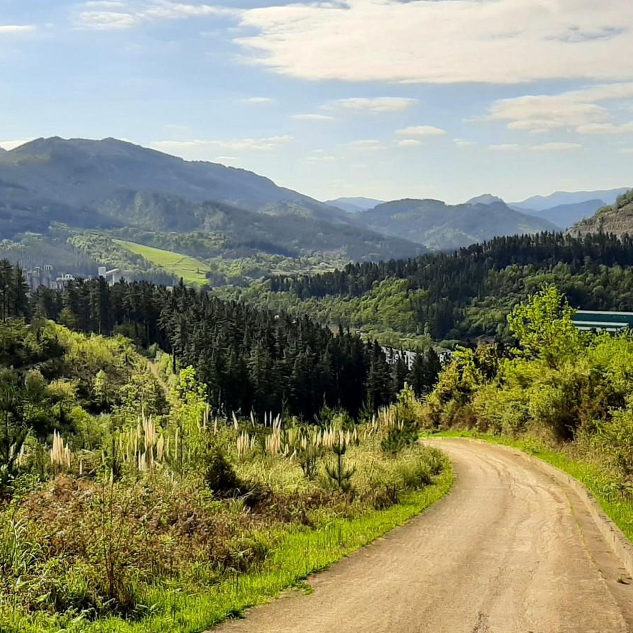
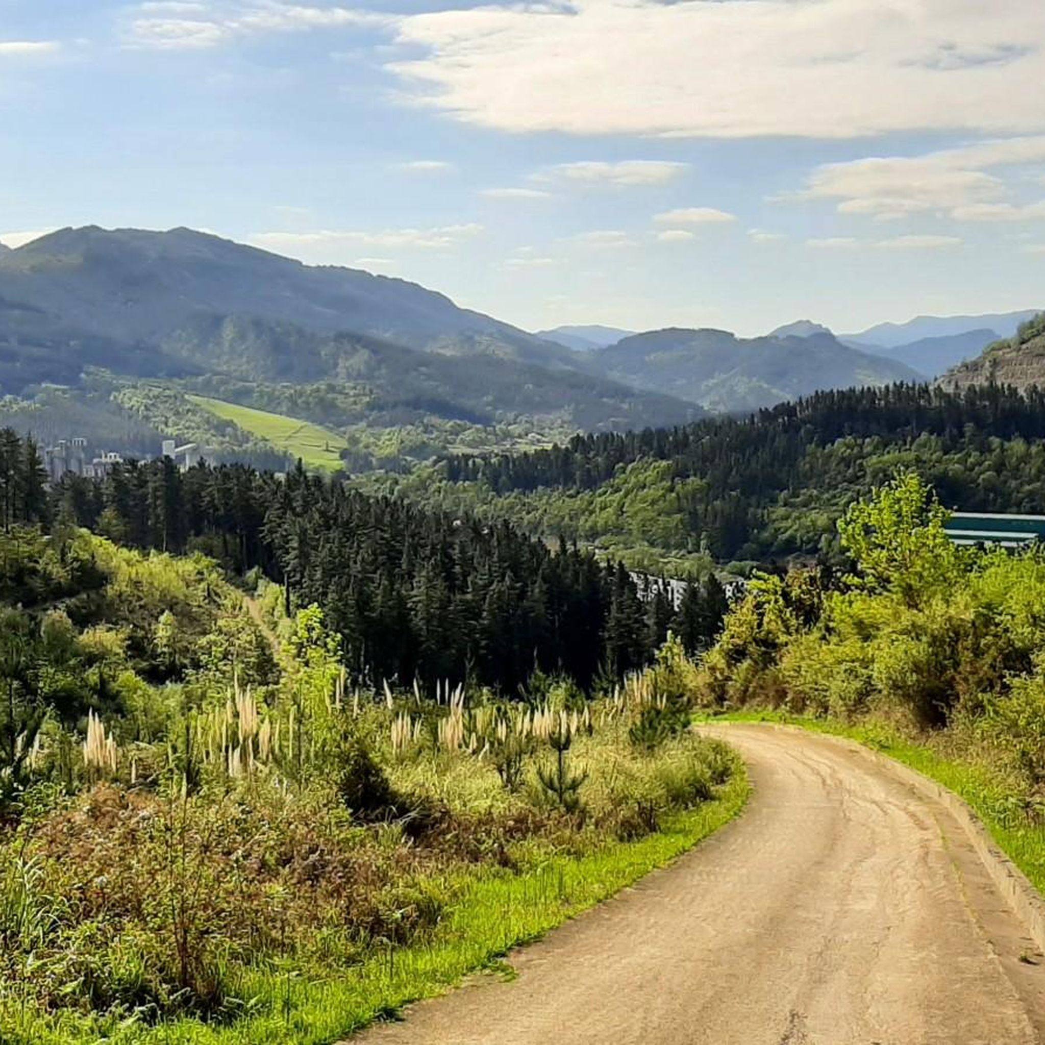
Steep road, well developed, therefore also down a pleasure
0
0

An amazing hill, the views are breathtaking, especially those of Mugarra.
2
0

Continuing with the comment, the climb up the Orozko face is gentler the first few kilometres, but the last 3 kilometres have a gradient of 9% with ramps of 13%.
1
0

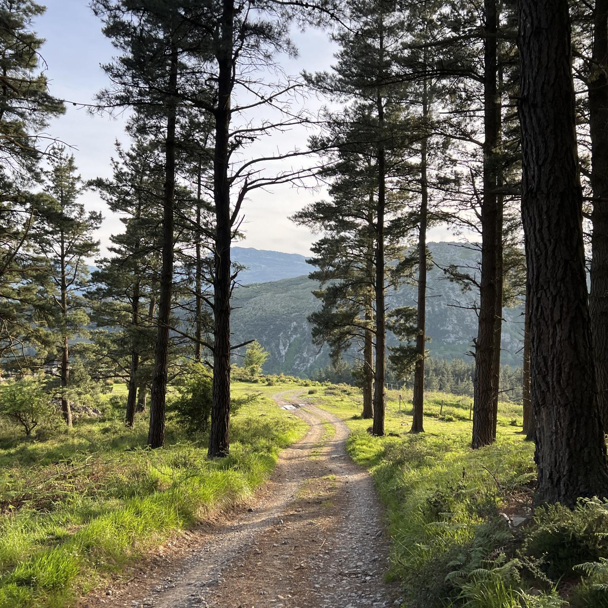
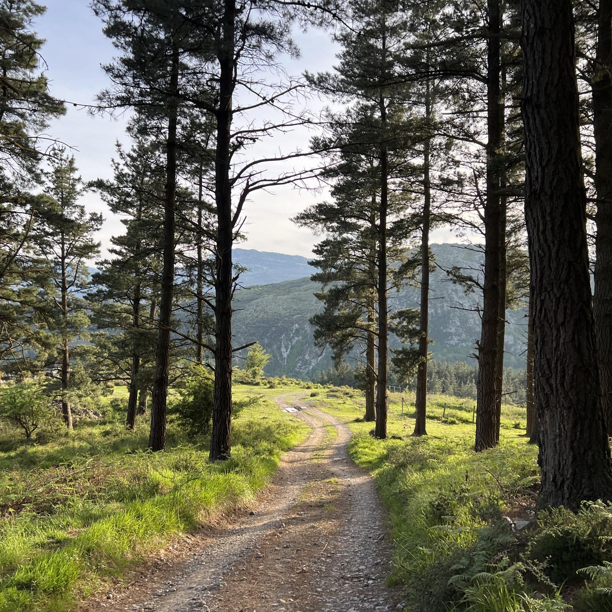
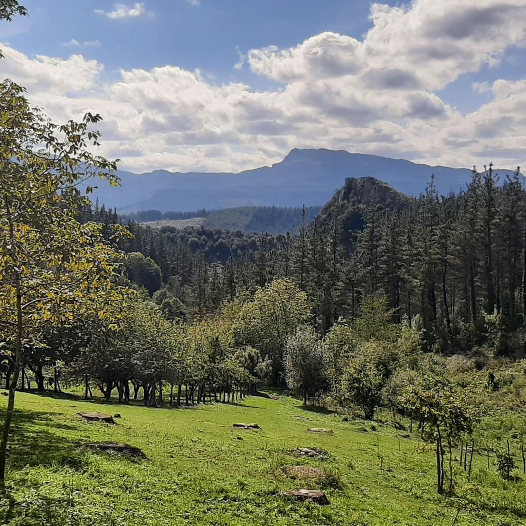
After reaching this peaceful and green hill, where it is sometimes even possible to enjoy horses around, we can have a panoramic view of the area in which, of course, the Mugarra stands out right next to it, imposing itself over the area. If you are going to climb Mugarra, it is an ideal point to stop to regain strength before the last stretch.
1
0

The BI-3524 regional highway connects the towns of Ugao-Miraballes and Artea, crossing the municipality of Zeberio. It is a conventional two-way road with a variable road width of about six meters and has a winding layout, with very tight curves. The section of road on which action has been taken begins before reaching the Olatxu neighborhood, in Zeberio, P.K. 15+800, and ends at the station. 26+060, coinciding with the intersection with the BI-3513 highway, in the municipality of Artea. There are two sections of this road transferred to the municipalities in which no action has been taken; a section of 840 meters in the Olatxu neighborhood and another of 1,300 meters in the urban center of Zubialde.
0
0

Montecalvo is located at an altitude of 381 meters, offering impressive views of the sea and Urdaibai on one side and Duranguesado on the other. The Muniketa road was the main communication route south through Durango until 1848, when the Autzagane road was improved.
1
0

Mythical place for Biscayan cyclists, the scene of endless races of all categories!
0
0
One of the most feared ports in the province of Bizkaia and which leaves from the center of Artea. Most of the climb, there are ramps that go from 10/12%, where of the 4km as a whole, only the first one is more relaxed. Mind you, you can't miss it!
1
0
Frequently Asked Questions
What types of mountain passes can I expect to find around Yurre?
Around Yurre, you'll find passes that are generally characterized by green, hilly landscapes, offering scenic views suitable for hiking and exploration. While not home to major, formally named passes like those in the Pyrenees, the area provides a tranquil, natural setting with local trails and less formally recognized passes. These range from intermediate to challenging, with some being family-friendly.
Are there any mountain passes near Yurre that offer panoramic views?
Yes, several passes offer excellent views. For instance, Mugarrikolanda Pass is a peaceful, green hill providing panoramic views, notably of Mugarra. Another great spot is Alto de Muniketa (Montecalvo), which offers impressive views of the sea, Urdaibai, and Duranguesado.
Which mountain passes are suitable for families or those looking for an easier experience?
The Mugarrikolanda Pass is noted as family-friendly and dog-friendly, making it a great option for a more relaxed outing. It's a peaceful, green hill perfect for enjoying nature.
Are there challenging mountain passes for experienced hikers or cyclists near Yurre?
Absolutely. For those seeking a challenge, Bikotx Gane Pass (565 m) is known for its steep ramps, with gradients of 10-12% over several kilometers when climbing from Artea. Cyclists also consider Alto de Sarasola a mythical place due to its winding layout and tight curves, making it a challenging ride.
What outdoor activities can I do near these mountain passes?
The region around Yurre is ideal for various outdoor activities. You can explore numerous hiking trails, such as the moderate 'Urtemondo y Belatxikieta, circular desde Artaun' or the more difficult 'Belatxikieta Summit (661 m) – Aramotz North Summit loop'. For cycling enthusiasts, there are touring bicycle routes like 'View of Mount Meazabal – Forest Trail Near Bilbao loop'. Gravel biking is also popular, with routes like 'Kortatxikieta Picnic Area – Forest Trail Near Bilbao loop'. You can find more details on these activities in the hiking guide, cycling guide, and gravel biking guide for Yurre.
What historical significance do some of the mountain passes near Yurre hold?
The Alto de Muniketa (Montecalvo), for example, was a primary communication route south through Durango until 1848, highlighting its historical importance in regional travel and trade before modern road improvements.
What natural features can I expect to see when visiting mountain passes around Yurre?
The area is characterized by a green and hilly landscape. You'll encounter peaceful hills, panoramic viewpoints, and often see surrounding limestone peaks, especially near settlements like Mañaria, which is surrounded by the splendid landscape of the Urkiola Natural Park, featuring peaks such as Errialtabaso and Mugarra.
Is the area around Yurre suitable for dog-friendly hikes?
Yes, the Mugarrikolanda Pass is specifically mentioned as being dog-friendly, making it a great spot to enjoy with your canine companion.
What do visitors enjoy most about the mountain passes around Yurre?
Visitors particularly appreciate the breathtaking views, the peaceful and green hills, and the opportunity to enjoy nature. Many find the passes, like Mugarrikolanda, to be ideal spots to rest and take in the panoramic scenery, especially before tackling more challenging climbs.
What is the best time to visit the mountain passes around Yurre?
Given the green and hilly landscape suitable for outdoor activities, the best time to visit is generally during spring, summer, and early autumn when the weather is mild and conducive to hiking and cycling. This allows for comfortable exploration and clear views of the surrounding nature.
Are there any specific cycling routes that incorporate the mountain passes near Yurre?
Yes, the Alto de Sarasola is a well-known spot for cyclists, connecting Ugao-Miraballes and Artea with a winding road. For more cycling options, you can explore routes like 'View of Mount Meazabal – Forest Trail Near Bilbao loop' or 'Saldropo Wetland – Alto de Dima loop' in the Cycling around Yurre guide.
Can I find mountain passes that are part of a natural park near Yurre?
While not a pass itself, the settlement of Mañaria, which is often associated with the surrounding mountainous terrain, is largely encompassed by the Urkiola Natural Park. This means that many of the passes and trails in its vicinity offer access to the park's splendid natural beauty and limestone peaks.
Most popular attractions around Yurre

Get inspired with the komoot mobile app


Explore more
See even more epic mountain passes by checking out these guides around Yurre:
