Top 7 Mountain Passes around Sant Aniol De Finestres
Best mountain passes around Sant Aniol De Finestres are found within the mountainous terrain of the Garrotxa region in Catalonia. The area features elevated routes and viewpoints, with the Serra de Finestres being a prominent geographical feature. These routes offer varied opportunities for outdoor enthusiasts to explore the natural landscape. The region provides challenging climbs and scenic trails for hikers and cyclists.
Best mountain passes around Sant Aniol De Finestres
- The most popular mountain passes is Coll de Condreu,…
Last updated: July 1, 2026
Coll de Condreu
Highlight • Mountain Pass
Tip by

Col de Bas
Highlight • Mountain Pass
Translated by Google •
Tip by

Sign up now to discover places like this
Get recommendations on the best single tracks, peaks, & plenty of other exciting outdoor places.
Sign up for free
Sant Martí Sacalm
Highlight • Mountain Pass
Translated by Google •
Tip by

Sant Martí Sacalm
Highlight • Climb
Tip by

Coll de Palomera
Highlight • Mountain Pass
Translated by Google •
Tip by

Sign up for free to discover even more mountain passes around Sant Aniol De Finestres.
Sign up for free
Already have an account?
Start today with a free account
Your next adventure awaits.
Login or Signup

Tips from the Community


Side road to avoid the tunnel. Recommended route for cyclists.
0
0
Use this road to avoid the tunnel on the main road. It is steep, though.
0
0

It is a very pleasant port on both sides since it is very bearable, always with ramps of around 5%. I like it better on the southern slope, the one that starts from The 2 slopes are very different, not only in length, but also in the type of landscape. The southern slope is 31.9km from Roda de Ter. It is used in the Terra de Remences march. It has 2 rest areas. It is an open climb, with mostly panoramic views. At first, a lot of views on the Plan de Vic. The northern slope, which starts from the Vall d'en Bas, is 11 km long and has hardly any views, almost always in the shadow of the vegetation and the gorge through which the road climbs. It has several horseshoe curves that give it the appearance of more of a mountain pass. I leave you the link of the altimetry published by @cyclingcols, the best on these topics --> http://www.cyclingcols.com/col/Condreu
0
0

With the start of the ascent from the road of Sant Aniol de Finestres, at the height of Can Tura and taking the detour from the road of Agustins, a long ascent begins for gravel or mountain biking, with some sectors with slopes of 10% or more, with good terrain.
1
0

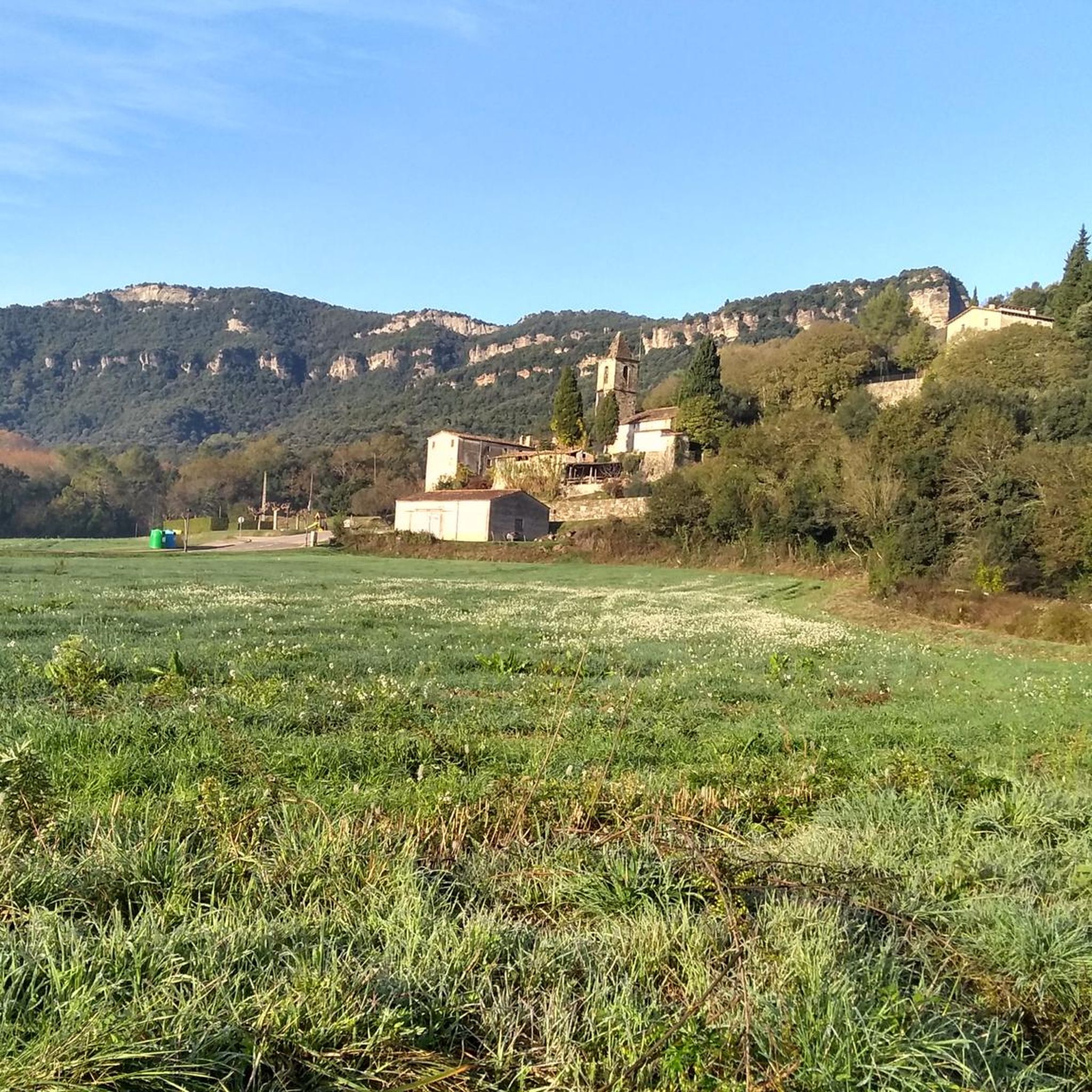
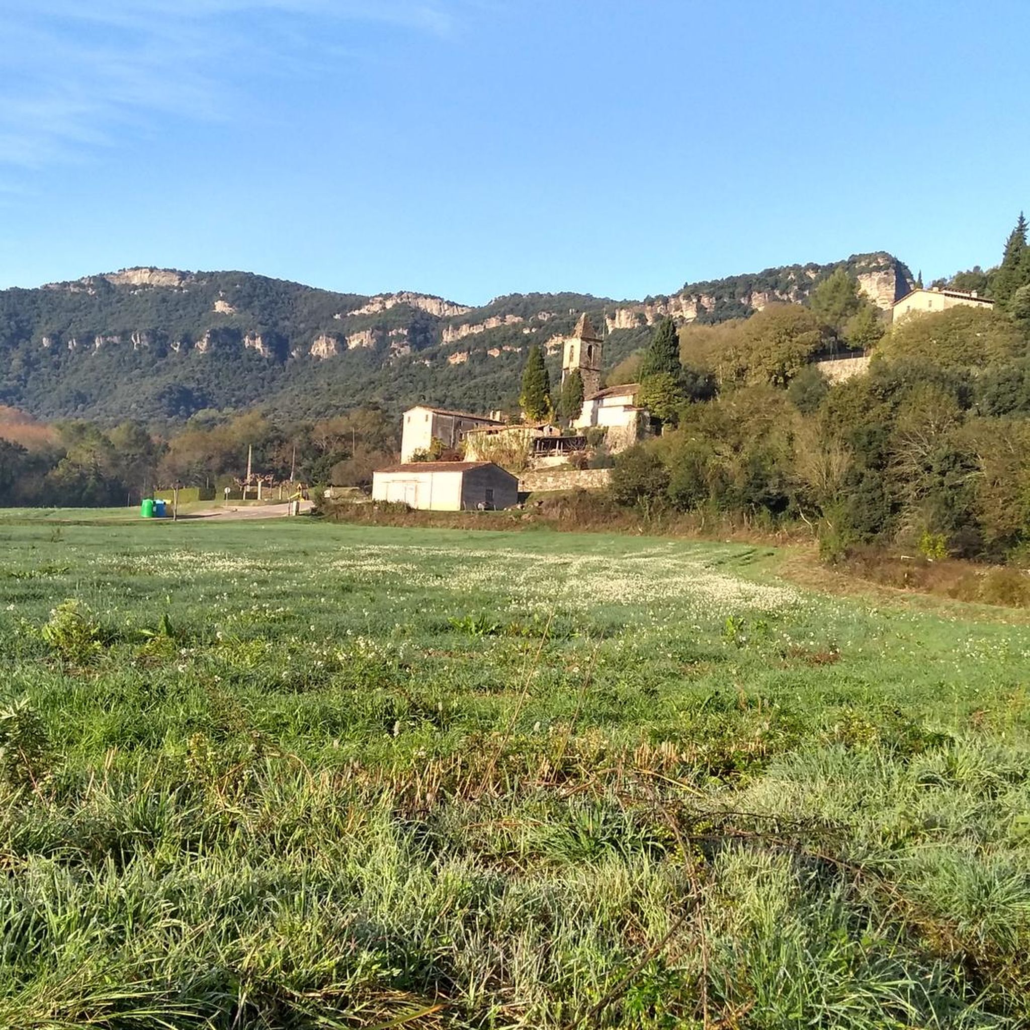
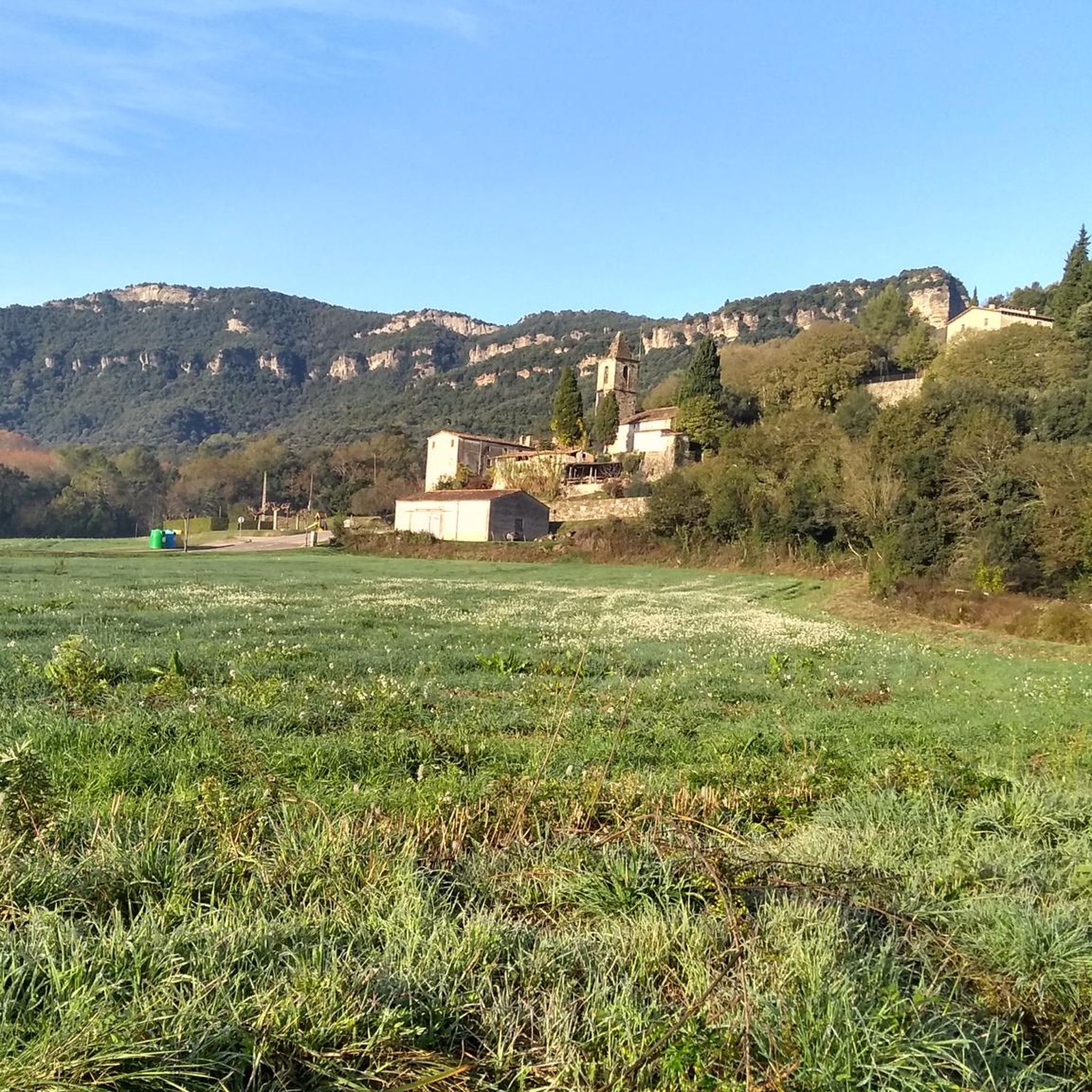
It is not particularly beautiful, but it is the point of intersection between the track that goes up through Falgons, the path that comes from Sta Pau and the one that goes up from Sant Aniol de Finestres. Mandatory crossing point to follow the ridge between Rocacorba (Banyoles) and Olot.
1
0

The Col de Bas is a very small pass, the descent to Olot is magnificent. It peaks at 597m above sea level and marks the entrance to the Garrotxa volcanic zone natural park.
2
0

It is not really a very difficult port. It starts in Sant Esteve d'en Bas with a first climb that crosses the town, then goes down and up again, now, to the Bas tunnel. Always gently. You can continue along the old road that leads to the real Coll de Bas.
0
1
Frequently Asked Questions
What are some popular mountain passes for cycling around Sant Aniol De Finestres?
Cyclists often enjoy the climb to Coll de Condreu, a classic route peaking at 1015m with a constant slope. Another recommended pass is Sant Martí Sacalm, known for its scenic, quiet, and paved road, offering an approximately 8-kilometer climb with an average gradient of around seven percent.
Are there mountain passes suitable for beginners or those looking for easier routes?
While many routes offer a challenge, Col de Bas is a smaller pass peaking at 597m above sea level. It marks the entrance to the Garrotxa volcanic zone natural park and is part of the Via Verda, making it a more accessible option with magnificent views.
What kind of views can I expect from the mountain passes in the region?
The mountain passes and elevated points in Sant Aniol de Finestres offer breathtaking panoramic views. From Col de Bas, you can see spectacular views of Puigsacalm and the surrounding mountains. Higher points like Puigsallança Summit provide expansive landscapes across the entire Garrotxa region.
Are there any historical sites or cultural points of interest near the mountain passes?
Yes, the region is rich in history. Puig de Finestres, an elevated point, hosts the remains of Castell de Finestres, an ancient Iberian watchtower, and the millenary Santuari de Santa Maria de Finestres, first mentioned in 947 AD. These sites offer splendid historical views and insights into the region's past.
What outdoor activities can I do near these mountain passes?
The area around Sant Aniol de Finestres is ideal for various outdoor activities. You can find numerous road cycling routes, gravel biking trails, and challenging MTB trails. For example, there are difficult gravel biking routes like the "Col de Bas – Ruta del Carrilet Greenway loop" or demanding MTB trails such as the "Rocacorba MTB Route 13." You can explore more options on the Road Cycling Routes, Gravel Biking, and MTB Trails guides for the area.
Are there specific hiking trails that incorporate mountain passes?
Absolutely. The "Finestres-Sant Aniol via Coll de Palomera Trail" is a moderate 14.4 km hiking route that covers diverse terrain and scenic viewpoints. Another challenging option is the hike to Puig de Finestres / Castell de Finestres, which covers 6.865 km with a significant elevation gain.
When is the best time of year to visit the mountain passes around Sant Aniol De Finestres?
While the region offers year-round beauty, spring and autumn are generally ideal for exploring the mountain passes. The weather is milder, and the natural scenery, especially the 'fageda fosca' (dark beech forest), is particularly vibrant or colorful during these seasons, making for comfortable hiking and cycling conditions.
What makes the Serra de Finestres significant in the region?
The Serra de Finestres is a prominent mountainous feature bordering the municipality of Sant Aniol de Finestres. Its name itself suggests a 'lookout' or 'viewpoint,' indicating its importance for panoramic vistas. It contains several elevated points and routes, including the highest peak, Puigsallança, and is a key part of the area's natural beauty and challenging terrain.
What are some challenging routes for experienced hikers in the area?
Experienced hikers can tackle the ascent to Puigsallança Summit (1,026 m), the highest peak in the Serra de Finestres. A loop from Sant Aniol de Finestres - Can Turà can cover 10.5 km to 15.3 km with a substantial elevation gain of 640 m to 690m, often traversing pristine areas and continuing 'de cingle en cingle' (from cliff to cliff) to the Santuari de Finestres.
Can I find viewpoints that offer great panoramas without extreme difficulty?
Yes, Roca del Migdia (788 m) provides an excellent viewpoint. It allows observers to appreciate the surrounding rugged terrain and offers a spectacular panorama of the Llémena valley and Sant Aniol de Finestres. A loop incorporating Puig Rodó and Roca de Migdia is a 12 km hike with 480 m of elevation gain, offering rewarding views without the extreme challenge of the highest peaks.
What do visitors enjoy most about the mountain passes in Sant Aniol De Finestres?
Visitors frequently praise the scenic beauty and the rewarding physical challenge. Many appreciate the quiet, paved roads for cycling, the constant slopes of climbs like Coll de Condreu, and the incredible views from various viewpoints. The opportunity to combine physical activity with exploring natural parks and historical sites is also a major draw.
Are there any gravel roads connecting different areas through the passes?
Yes, there is a notable gravel road between Coll de Palomera and Sant Aniol. This beautiful gravel road connects Sant Aniol de Finestres and Mieres, passing over the Llémena stream. It's known for being rather steep in sections but offers a great experience for gravel biking enthusiasts.
Most popular routes around Sant Aniol De Finestres
Most popular attractions around Sant Aniol De Finestres

Get inspired with the komoot mobile app


Explore more
See even more epic mountain passes by checking out these guides around Sant Aniol De Finestres:
