Top 4 Natural Monuments around Alcalá De La Selva
Best natural monuments around Alcalá De La Selva are found in the Sierra de Gúdar mountains in Teruel, Spain. This region features diverse landscapes, including peaks, river trails, and caves. The area offers a variety of natural features for visitors to explore.
Best natural monuments around Alcalá De La Selva
- The most popular natural monuments is Peñarroya Summit and Observation Tower, a summit that offers 360-degree panoramic views. The built turret allows for clear views above 2028 meters above…
Last updated: July 1, 2026
Peñarroya Summit and Observation Tower
Highlight • Summit
Translated by Google •
Tip by

Peña Ojerada Rock Formation
Highlight • Natural Monument
Translated by Google •
Tip by

Sign up now to discover places like this
Get recommendations on the best single tracks, peaks, & plenty of other exciting outdoor places.
Sign up for free
El Castellar (Dinosaur Tracksite)
Highlight • Natural Monument
Translated by Google •
Tip by

Majada Redonda
Highlight • Natural Monument
Translated by Google •
Tip by

Start today with a free account
Your next adventure awaits.
Login or Signup
Popular around Alcalá De La Selva
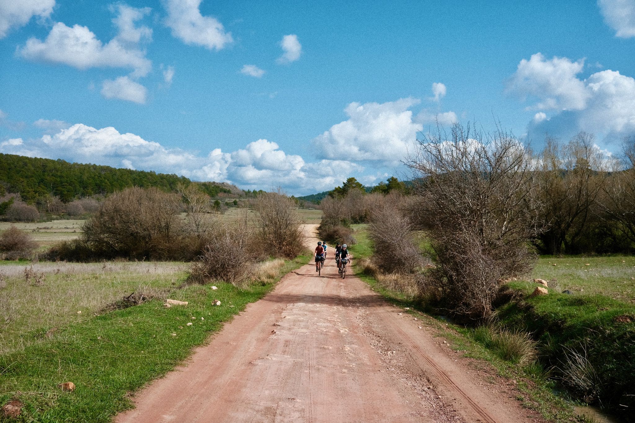
Women's Montañas Vacías 2022 — bikepack in rural Spain

MontañasVacías official — bikepacking across the Spanish Lapland
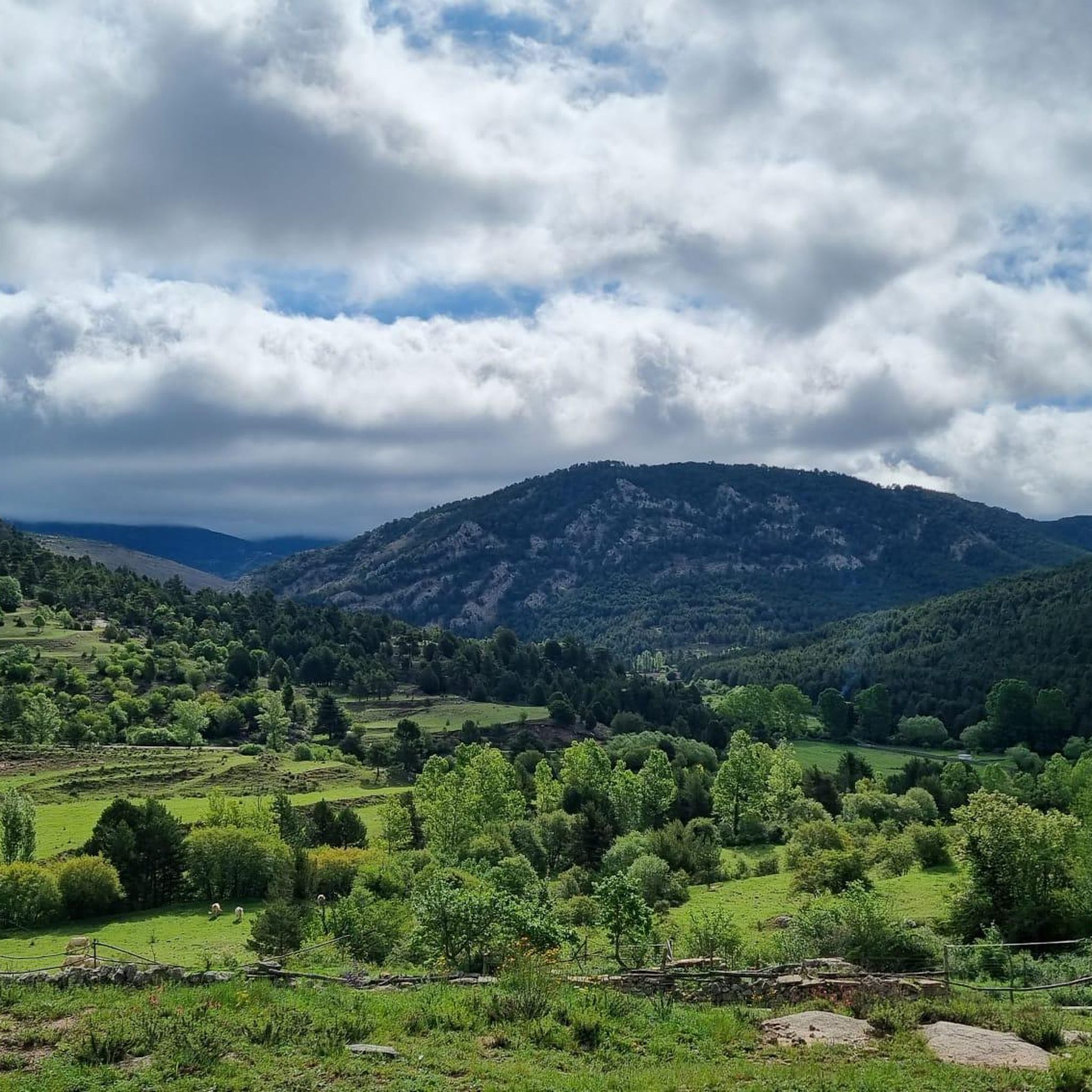
Road Cycling Routes around Alcalá De La Selva
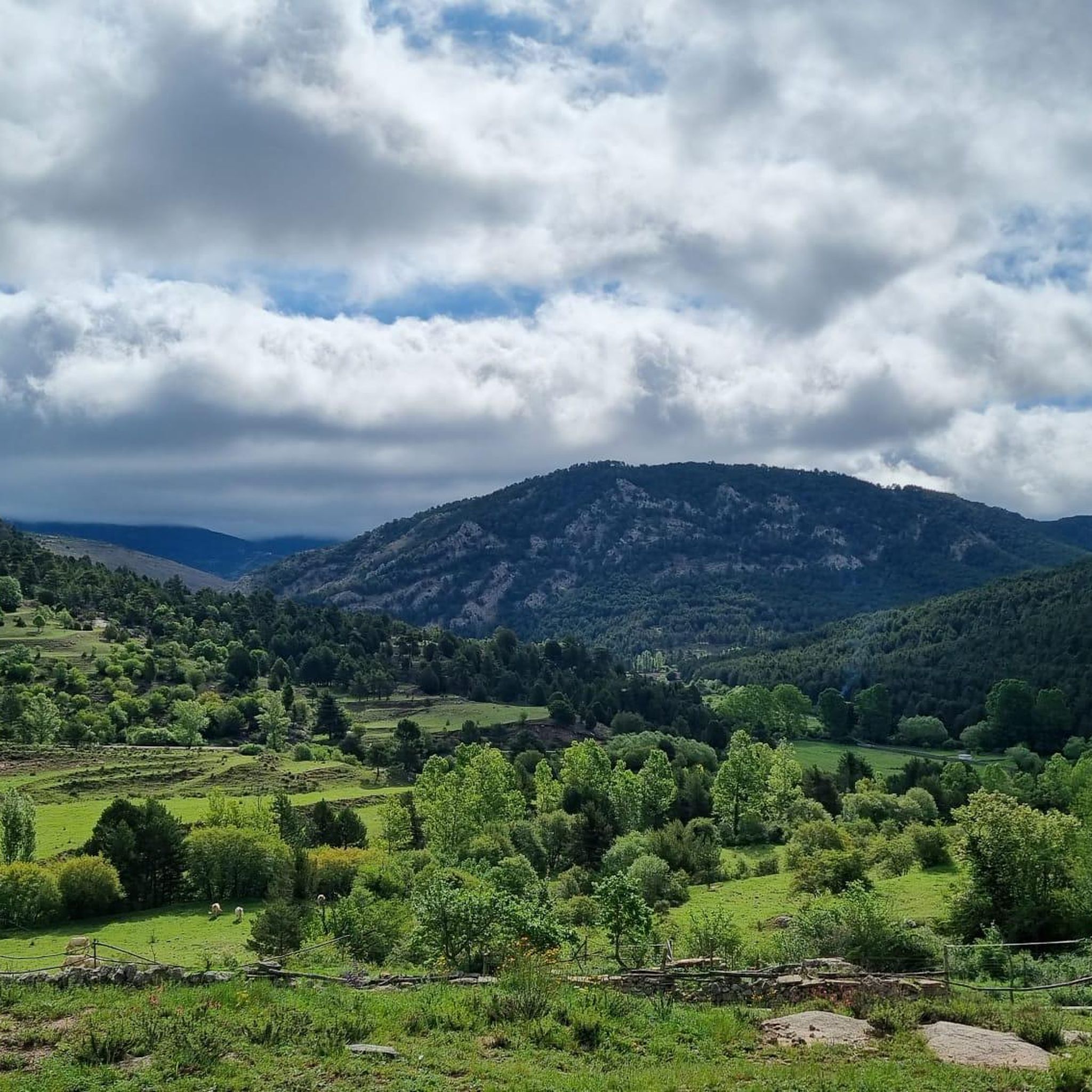
MTB Trails around Alcalá De La Selva
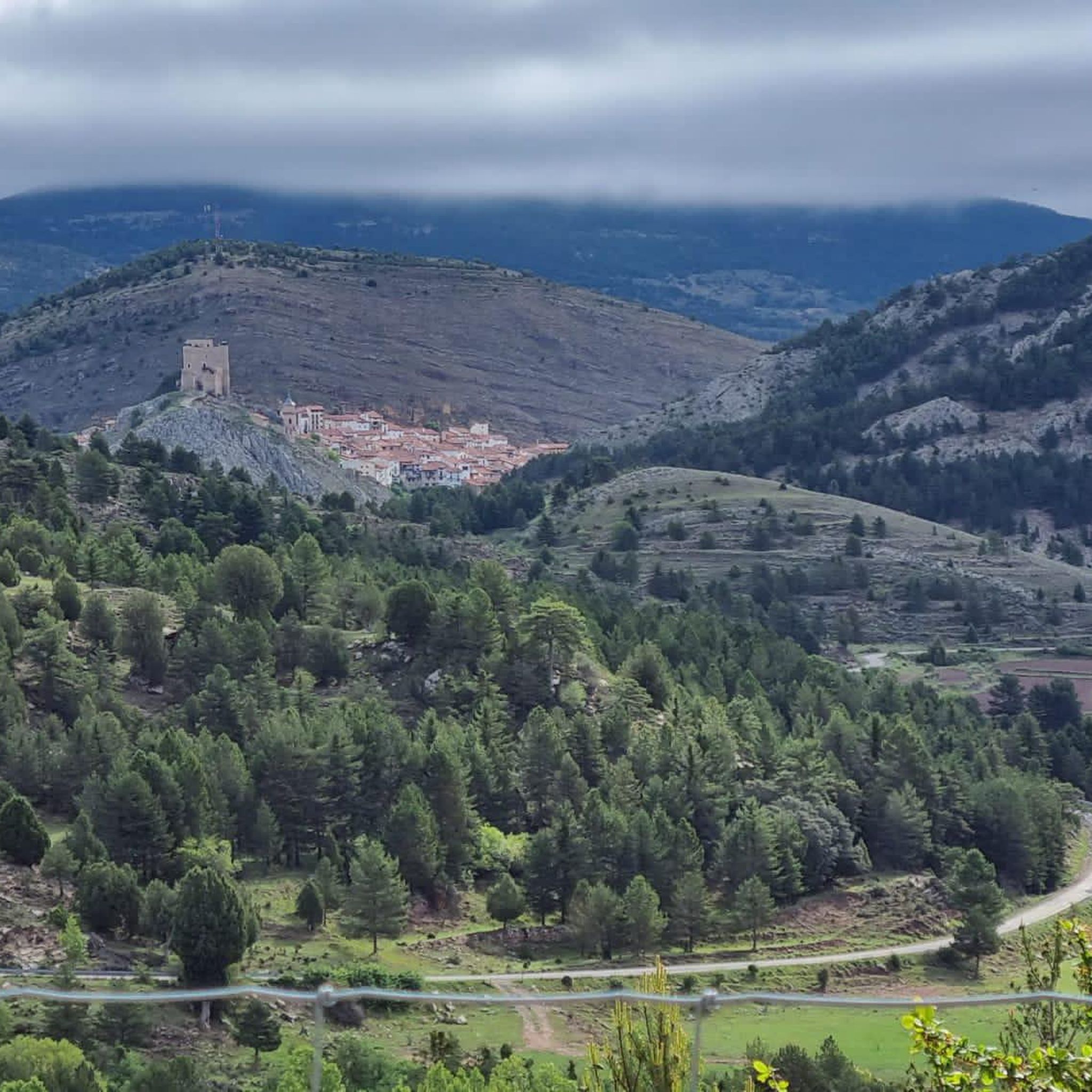
Hiking around Alcalá De La Selva
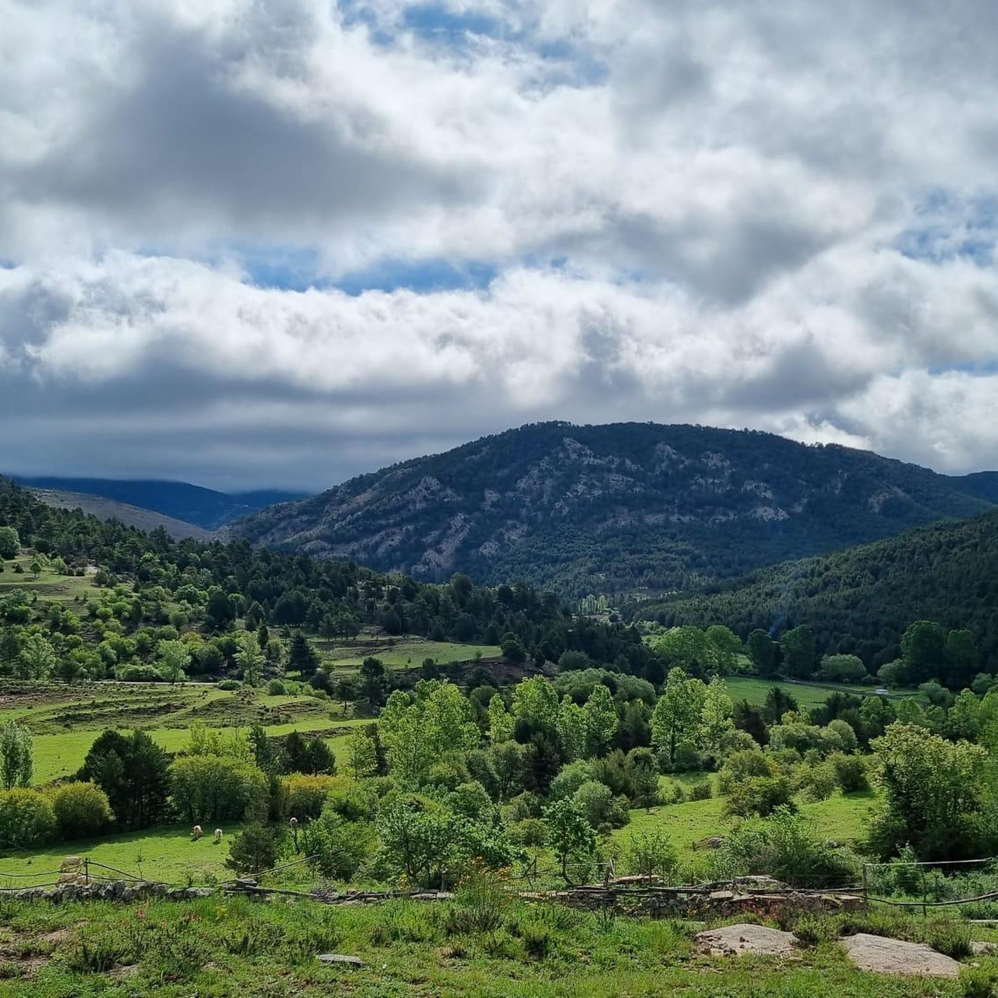
Cycling around Alcalá De La Selva
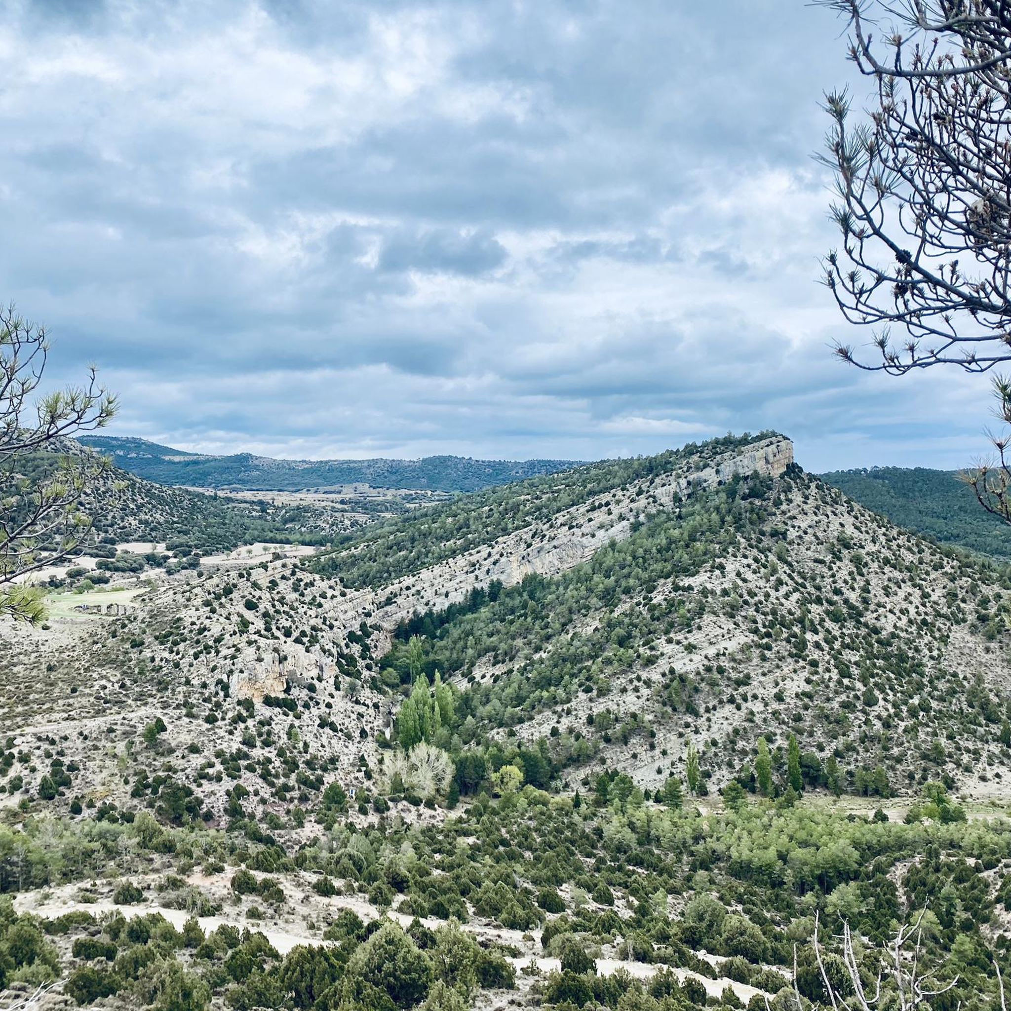
Running Trails around Alcalá De La Selva

Gravel biking around Alcalá De La Selva


Tips from the Community

The Peña Ojerada in Alcalá de la Selva is a popular destination for hiking enthusiasts. One of the most recommended routes is the Circular Route of the Viewpoints, which includes the Peña Ojerada and Monte Pinar.
7
0

The geodesic vertex called Peñarroya points 2028.228 m with respect to the base of the observation pillar, but it sits on two bodies of stone masonry. Altitude of the bodies of the order of 10 or 11 meters in total. LIDAR data confirm a ground level elevation of 2017 m. Peñarroya is a chromotoponym that refers to the color of the rocks that make up the mountain. The spelling in the Spanish language is Peñarroya and in the Aragonese language Penyarroya or Peñarroya depending on the spelling chosen for the palatal nasal. The origin of the toponym is quite clear. It combines the common noun peña, from the Latin PĭNNAM, 'battlement', with the adjective RŭBEŭS, -A, -UM 'blond'. The toponym reflects the reddish hue of the terrain. The spelling Penya (in addition to others such as Penna or Peña) is included in many medieval texts in Aragon. For example, in 1448 to designate the summit of the mountain range (of Peña) that rises above Sos del Rey Católico on the border, then, with the kingdom of Navarra.
1
0

Curious natural formation, round, which gives its name to the place. Formerly used as a refuge for cattle and shepherds
0
0

A few kilometers from the Valdelinares ski resort is this panoramic point with very beautiful views of the entire valley and the interior of Teruel. The built turret allows you to climb above the 2028 masl of the top and to be able to have 360 degree panoramic views without obstacles ahead.
1
0

El Castellar is a town located north of the city of Teruel in the Sierra de los Cabezos. One of the most important characteristics of the town is that it has archaeological sites on dinosaur footprints.
0
0

Keep your eyes wide open so as not to miss any landscape
1
0

Maximum altitude of Teruel at 2023m. Very easy access from the road to the Valdelinares ski slopes. Perfect track for Gravel.
0
0

Interesting rock formation, very close. Watch out for the slope. Good views.
1
0
Frequently Asked Questions
What are some popular trails to explore the natural monuments around Alcalá de la Selva?
For hiking enthusiasts, the Peña Ojerada Rock Formation is part of the popular Circular Route of the Viewpoints. Another rewarding ascent is to Peñarroya Summit and Observation Tower, offering spectacular panoramic views. The Senda Fluvial del Río Alcalá also provides a serene hiking experience through a beautiful canyon.
Where can I find the best panoramic views of the region?
The Peñarroya Summit and Observation Tower, at 2,028 meters, offers 360-degree panoramic views of the Sierra de Gúdar, Maestrazgo, and Sierra de Javalambre. Additionally, El Tumborrubio provides exceptional views of Alcalá de la Selva, the Vega, and the Cañón del Río Alcalá.
Are there family-friendly natural monuments to visit?
Yes, El Castellar (Dinosaur Tracksite) is a family-friendly natural monument and historical site, featuring archaeological sites with dinosaur footprints. The Barranco del Nacimiento also offers relatively easy paths and a picnic area, perfect for a day outdoors with family.
What unique natural features can I discover in the area?
You can explore the unique limestone formation of Peña Ojerada Rock Formation. The region also features the distinctive 'Octopinus' at El Tumborrubio, a Scots pine branching into eight trunks, and the round natural formation of Majada Redonda, formerly used as a refuge.
What historical or cultural aspects can be found among the natural monuments?
The region has several points of historical interest. El Castellar (Dinosaur Tracksite) features archaeological sites with dinosaur footprints. The Barranco del Nacimiento includes an ancient aqueduct, highlighting the historical importance of water. Cueva El Chaparral contains historical inscriptions from speleology groups and maquis from the 1930s.
Are there any waterfalls or river trails to explore?
Absolutely. The Cañón del Río Alcalá and Senda Fluvial del Río Alcalá offer a beautiful path winding through a canyon with lush vegetation, narrow gorges, small waterfalls, and natural pools. You can also visit Cascada de la Hiedra, a picturesque waterfall near Alcalá de la Selva, and the spectacular Cascada de las Lavaderas in Barranco de la Gitana.
What outdoor activities can I do near these natural monuments?
The area is excellent for various outdoor activities. You can find numerous hiking trails, including moderate and difficult options, such as the Alcalá de la Selva - Peña Ojerada Loop or the Peñarroya Summit Viewpoint loop. There are also road cycling routes like the Sierra de Gúdar Cycling Loop, and running trails such as the Pico Peñarroya - Alto de la Gitana Loop Trail. For more details, check the hiking guide, road cycling guide, and running guide for Alcalá de la Selva.
When is the best time of year to visit the natural monuments?
The natural monuments in Alcalá de la Selva can be enjoyed throughout the year, but spring and autumn generally offer the most pleasant weather for hiking and exploration. During these seasons, temperatures are mild, and the landscapes are vibrant. Winter can be beautiful, especially after snow, but some trails might be more challenging.
Can I spot wildlife near the natural monuments?
Yes, the diverse natural environment provides opportunities for wildlife spotting. Along the Cañón del Río Alcalá and Senda Fluvial, you might observe local wildlife such as birds of prey and otters. The forested areas and river ecosystems support a variety of species.
Are there any caves to explore in the region?
Yes, Cueva El Chaparral is a fossil resurgence cave near Alcalá de la Selva. It features narrow, labyrinthine galleries and unique erosive formations, offering a fascinating, albeit challenging, adventure for those interested in caving and local history.
Are there any lesser-known natural monuments worth discovering?
The Cascada de las Lavaderas, located in Barranco de la Gitana, is considered a hidden gem. Due to its historical inaccessibility and lack of extensive signage, it offers an adventurous excursion for hikers looking to discover a less-known, enchanting natural spot, especially impressive after heavy rain or snowmelt.
How much time should I allocate to visit the natural monuments?
The time needed varies depending on the monument and your activity. A visit to a single site like Peñarroya Summit or the Cañón del Río Alcalá can take a few hours to half a day for a thorough exploration. If you plan to hike multiple trails or visit several monuments, you might want to allocate a full day or even a weekend to fully experience the region's natural beauty.
Most popular routes around Alcalá De La Selva
Most popular attractions around Alcalá De La Selva

Get inspired with the komoot mobile app


Explore more
Extend your search for the best caves by checking out these guides of the top ones around Alcalá De La Selva:
