Top 4 Mountain Passes around Valverde De Los Arroyos
Best mountain passes around Valverde De Los Arroyos are found within the Sierra Norte de Guadalajara Natural Park, a region characterized by its rugged beauty and challenging climbs. The village itself, known for its "black architecture" of slate houses, serves as a base for exploring the surrounding mountainous landscapes. This area offers access to notable mountain routes and passes, providing opportunities for hiking and immersion in nature. The region features significant elevations, with peaks reaching over 2,000 meters above sea…
Last updated: July 1, 2026
The ridge meadow
Highlight • Mountain Pass
Translated by Google •
Tip by

East ascent to Ocejón
Highlight • Mountain Pass
Translated by Google •
Tip by
Sign up now to discover places like this
Get recommendations on the best single tracks, peaks, & plenty of other exciting outdoor places.
Sign up for free
Hervidero Pass
Highlight • Mountain Pass
Translated by Google •
Tip by

Collado de la Mujer
Highlight • Mountain Pass
Translated by Google •
Tip by
Start today with a free account
Your next adventure awaits.
Login or Signup
Popular around Valverde De Los Arroyos

Other adventures around Valverde De Los Arroyos

Tips from the Community

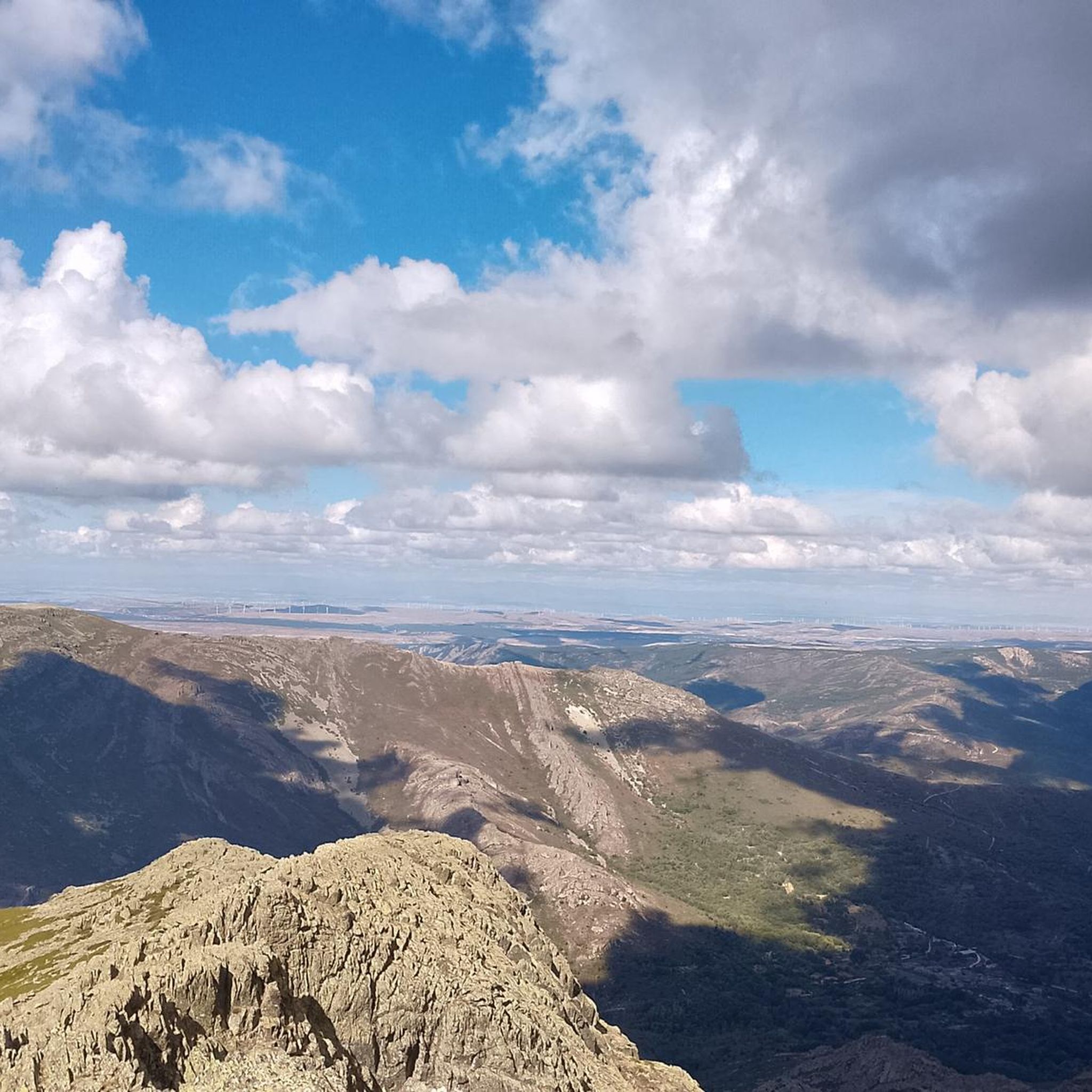
The climb to Pico Ocejón via the eastern slope is a popular route that begins in Valverde de los Arroyos. This route is known for its spectacular scenery and the opportunity to enjoy nature at its best.
4
0
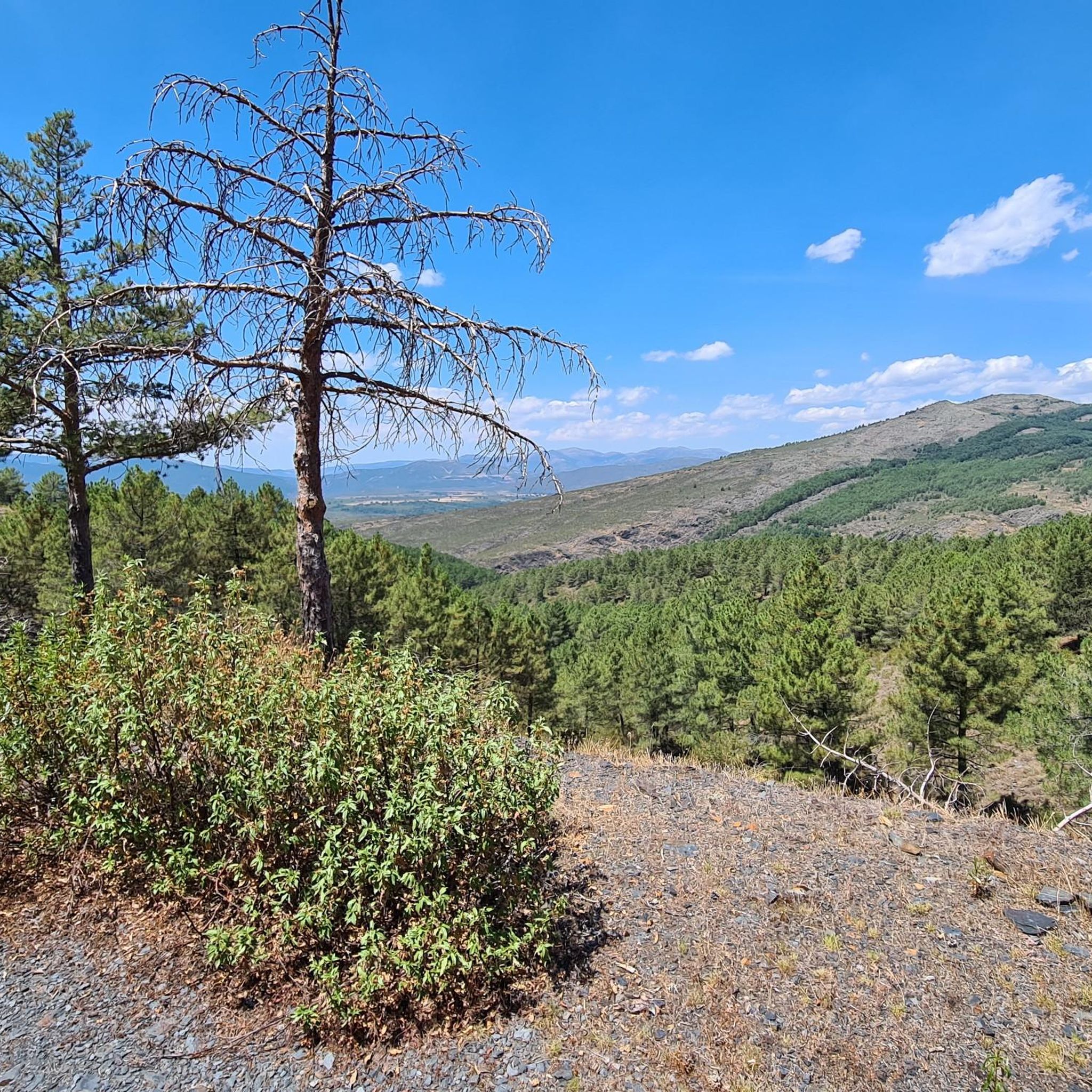
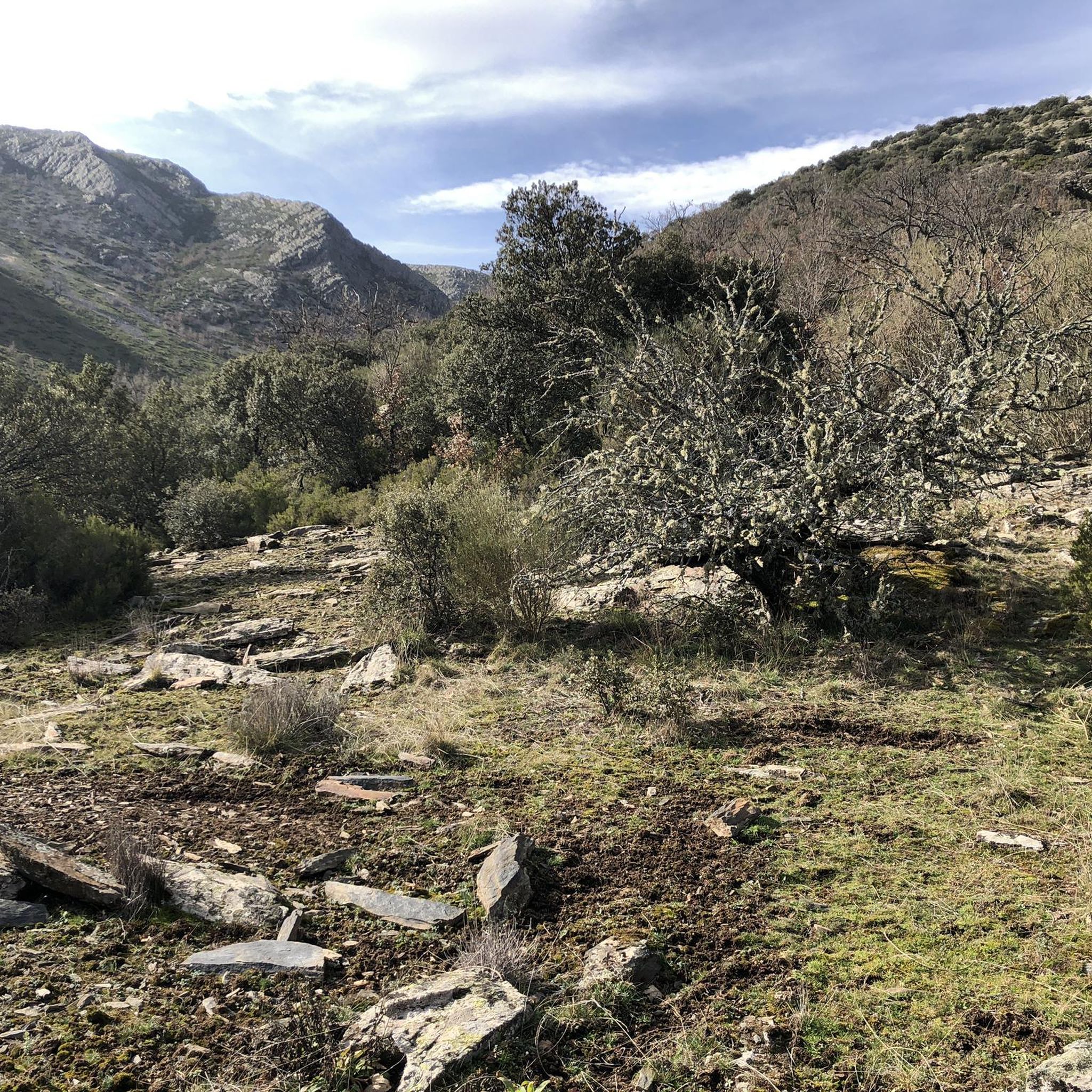
The ridge meadow in Majaelrayo is a very popular hiking route in the Sierra Norte de Guadalajara, Castilla-La Mancha. This route is known for its impressive views and its connection to Pico Ocejón, one of the highest peaks in the area at 2,049 meters above sea level.
4
0

It is the Collado del GR 60 on the way up to Ocejón through Peña Mala.
1
0
Located in the Sierra del Ocejón, it is the pass between Majaelrayo and Valverde de los Arroyos. It is a crossroads of many mountain routes.
0
0
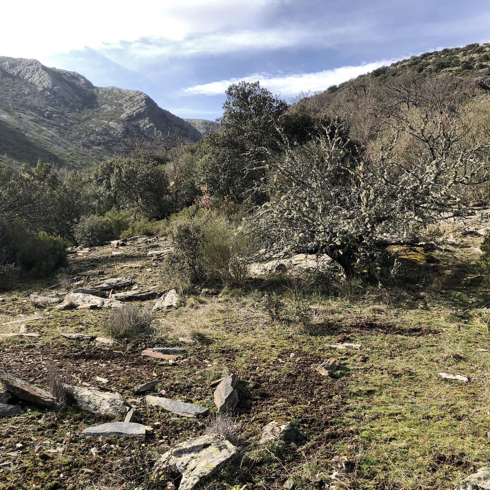
Between the Retichuelas and the Arroyo de La Fragüela, between EL Campachuelo and El Cerrito Collado. It is a place where many routes pass.
1
0
The Collado de La Madita or Las Campanitas is a privileged place to observe the Landscape of the Sierra de Guadalajara, as well as the Black Villages that are in the valley area.
1
0
Actually this place is known as Collado de La Madita. It is the highest part of La Senda del Cartero that linked the beautiful towns of Valverde de Los Arroyos and Majaelrayo.
1
0

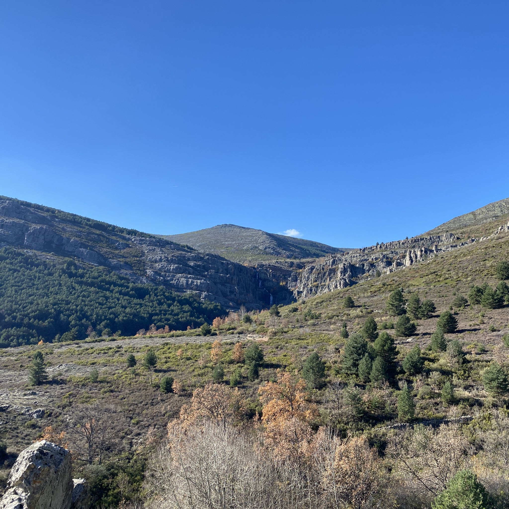
This is the intersection of the GR 60 and the path that goes up to the highest peak of the sierra, Ocejón. The perfect mass of rock in the shape of a semicircle looks out from the top of the mountain. On the opposite side, the landscape is completely different. After the valley, there is a group of mountains embracing each other on the horizon creating a beautiful bluish mosaic.
1
0
Frequently Asked Questions
What are the general difficulty levels for mountain passes around Valverde de los Arroyos?
The mountain passes in this region, such as the East ascent to Ocejón and Hervidero Pass, are generally considered intermediate to difficult. The area is known for its challenging climbs and rugged terrain, making it suitable for hikers with some experience.
What natural features can I expect to see when exploring the mountain passes?
You'll encounter spectacular scenery and diverse natural features. The region is part of the Sierra Norte de Guadalajara Natural Park, offering impressive views, high-altitude peaks like Pico Ocejón (2,049 meters), and a mosaic of hills and valleys. Passes often feature meadows surrounded by slate rocks, and the 'black architecture' of villages like Valverde de los Arroyos itself blends into the landscape.
Are there any family-friendly mountain passes or trails suitable for children?
While many routes in the area are considered intermediate to difficult, the overall region within the Sierra Norte de Guadalajara Natural Park offers various trails. For specific family-friendly options, it's best to check individual tour descriptions on komoot, as some shorter, less strenuous sections might be suitable. However, the main mountain passes are generally more challenging.
What is the best time of year to visit the mountain passes near Valverde de los Arroyos?
The best time to visit is typically during spring and autumn when the weather is milder and the natural scenery is vibrant. Summer can be hot, and winter brings snow and challenging conditions, especially at higher elevations, requiring appropriate gear and experience for winter hiking.
What outdoor activities can I do near these mountain passes?
Beyond exploring the passes themselves, the area around Valverde de los Arroyos is excellent for various outdoor activities. You can find numerous hiking routes, including challenging ascents to peaks like Pico Ocejón. There are also MTB trails and road cycling routes, many of which are considered difficult due to the mountainous terrain.
Are there any notable viewpoints along the mountain passes?
Yes, many of the mountain passes double as excellent viewpoints. For instance, The ridge meadow (also known as Collado de La Madita) offers impressive panoramic views, especially towards Pico Ocejón and the surrounding hills. The East ascent to Ocejón also provides spectacular scenery as you climb towards the peak.
Is there parking available for hikers accessing the mountain passes?
Valverde de los Arroyos serves as a natural starting point for many routes, including the eastern ascent to Pico Ocejón. Parking is generally available within or near the village, but it's advisable to arrive early, especially during peak seasons, as specific parking areas for trailheads might be limited.
Can I reach the mountain passes using public transport?
Public transport options directly to the trailheads of mountain passes can be limited in this rural mountainous region. Valverde de los Arroyos itself might have some bus connections, but for accessing specific passes, a private vehicle is often the most convenient and flexible option. It's recommended to check local bus schedules if relying on public transport.
Are dogs allowed on the mountain trails and passes?
Generally, dogs are allowed on trails in the Sierra Norte de Guadalajara Natural Park, but it's crucial to keep them on a leash to protect wildlife and ensure the safety of other hikers. Always check specific regulations for any protected areas or private lands you might cross.
What are some of the less-known or 'hidden gem' mountain passes in the area?
While passes like The ridge meadow and East ascent to Ocejón are popular, other significant points include Collado de la Mujer, located between the Retichuelas and the Arroyo de La Fragüela. These passes are often crossroads for various routes and offer a quieter experience while still providing beautiful views and challenging terrain.
What kind of wildlife might I spot on the mountain trails?
The Sierra Norte de Guadalajara Natural Park is home to diverse wildlife. While hiking the mountain passes, you might spot various bird species, including raptors. Mammals such as deer, wild boar, and smaller creatures like foxes are also present, though often more elusive. Maintaining a respectful distance and quiet observation increases your chances of a sighting.
Are there places to eat or drink near the mountain passes?
Valverde de los Arroyos, being a picturesque village and a common starting point for routes, offers some local services including restaurants and cafes where you can refuel before or after your hike. However, facilities are scarce directly on the mountain passes themselves, so it's essential to carry enough water and snacks for your journey.
Most popular routes around Valverde De Los Arroyos
Most popular attractions around Valverde De Los Arroyos

Get inspired with the komoot mobile app


Explore more
See even more epic mountain passes by checking out these guides around Valverde De Los Arroyos:
