Top 7 Natural Monuments around Jaramillo Quemado
Best natural monuments around Jaramillo Quemado are primarily found within the mountainous landscape of the Sierra de la Demanda, a region known for its elevated peaks and scenic viewpoints. This area offers a range of natural attractions, including prominent summits and dramatic vistas. Visitors can explore diverse terrain, from challenging climbs to expansive panoramas. The natural setting provides opportunities for outdoor activities focused on geological features and elevated perspectives.
Best natural monuments around Jaramillo Quemado
- The most popular natural monuments…
Last updated: May 20, 2026
Pico Mencilla
Highlight • Summit
Translated by Google •
Tip by

Peñas del Tuero Viewpoint
Highlight • Viewpoint
Translated by Google •
Tip by

Sign up now to discover places like this
Get recommendations on the best single tracks, peaks, & plenty of other exciting outdoor places.
Sign up for free
CabezaPlantizo
Highlight • Summit
Translated by Google •
Tip by

Cerro San Cristóbal
Highlight • Summit
Translated by Google •
Tip by

La Muela
Highlight • Summit
Translated by Google •
Tip by

Sign up for free to discover even more natural monuments around Jaramillo Quemado.
Sign up for free
Already have an account?
Start today with a free account
Your next adventure awaits.
Login or Signup



Tips from the Community

A curious name for this peak near Campo de los Corros. There's no mailbox, but there is a large pile of stones. One of the descent/ascent trails to Pineda de la Sierra begins here.
1
1

From the top of Pico Mencilla, you can see Pico Trigaza and San Millan
1
0

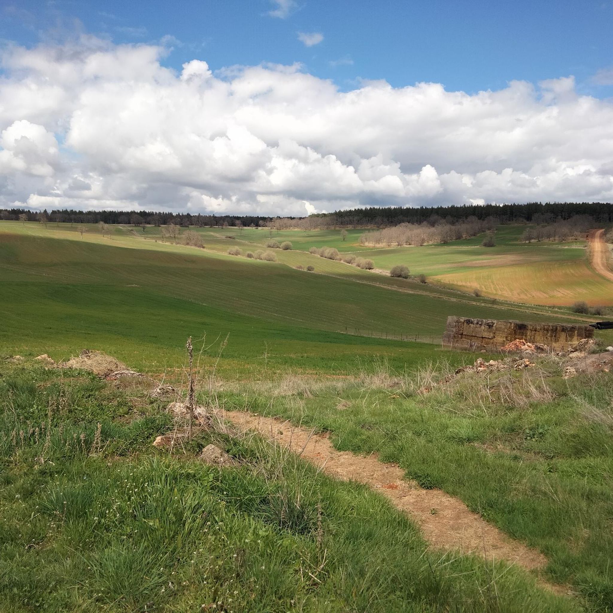
The climb can be a bit complicated, since there is no marked path, but you can always guide yourself by looking at the top. The views from the top are spectacular. To the east, the Sierra de Gayúbar, the Peña de Carazo and the Fort San Carlos; a little further, the Sierra de la Demanda and the Campiña as the most prominent peak. To the north, the Sierra del Mencilla, the Pico Trigaza, and the Sierra de Peñalara.
1
0

Once you leave the Río Arlanza and reach the Peñas del Tuero, from where you can see the entire Valle del Arlanza. The panorama is spectacular.
0
0
The highest mountain in the Sierra de Covarrubias and which in the winter months is covered with snow due to its height and continentality.
0
0

It is a very nice town in the heart of the Sierra de la Demanda, Burgos. It is recommended to climb the Pico San Millán, and the Trigaza, on the south side we have the Mencilla. The highest peaks of the Burgos Demand.
2
0
After a climb along a path between oaks, we arrive at the top of the cliffs, where we can see the perches of the griffon vultures, we will arrive at the natural viewpoint of the Peñas del Tuero, where the entire Arlanza Valley can be seen. Be careful, we are in a natural space, there is a ban on approaching the bird nesting area.
0
0

Don't be in a hurry going up and enjoy the descents
0
0
Frequently Asked Questions
What are the most popular natural monuments around Jaramillo Quemado?
The most popular natural monuments in the area include Pico Mencilla, a summit offering views of Pico Trigaza and San Millan. Another highly regarded spot is Peñas del Tuero Viewpoint, known for its spectacular panorama of the Arlanza Valley and opportunities to observe griffon vultures. Visitors also frequently enjoy Cerro San Cristóbal, the highest mountain in the Sierra de Covarrubias.
What types of natural features can I expect to see around Jaramillo Quemado?
The natural monuments around Jaramillo Quemado are primarily characterized by mountainous landscapes within the Sierra de la Demanda. You can expect to find prominent summits, dramatic viewpoints overlooking valleys, and geological formations such as gorges. The area offers diverse terrain, from elevated peaks to expansive panoramas.
Are there hiking opportunities near the natural monuments around Jaramillo Quemado?
Yes, the natural monuments themselves, being mostly summits and viewpoints, offer excellent hiking opportunities. For example, the climb up to Pico Mencilla involves some rocky sections but is generally not considered difficult. The ascent to La Muela can be more challenging as there isn't a marked path, but it rewards with spectacular views.
What kind of outdoor activities can I do near the natural monuments?
Beyond exploring the natural monuments, the region around Jaramillo Quemado offers a variety of outdoor activities. You can find numerous MTB trails, running trails, and cycling routes. These routes often pass through scenic landscapes, allowing you to experience the natural beauty of the Sierra de la Demanda.
How difficult are the trails to reach these natural monuments?
The difficulty varies. For instance, the climb to Pico Mencilla has some rocky sections but is not considered difficult, though caution is advised in foggy conditions. Reaching La Muela can be a bit more complicated as there isn't a marked path, requiring some navigation. Most trails are suitable for intermediate hikers, with some challenging options available.
What is the best time to visit the natural monuments around Jaramillo Quemado?
The best time to visit is generally during the spring, summer, and autumn months. During winter, higher elevations like Cerro San Cristóbal are often covered with snow due to their height and continental climate, which can make access more challenging but also offers unique snowy landscapes.
Are there family-friendly natural monuments or trails in the area?
While specific 'family-friendly' designations are not always explicit, many of the viewpoints and less strenuous summit climbs can be enjoyed by families. For example, the path to Peñas del Tuero Viewpoint offers a rewarding experience with stunning views and wildlife spotting, which can be engaging for children. Always check the specific trail conditions and difficulty before heading out with family.
Are there dog-friendly trails around the natural monuments?
Many natural areas in the Sierra de la Demanda are dog-friendly, but it's always recommended to keep dogs on a leash, especially in areas with wildlife or near cliffs like Peñas del Tuero Viewpoint where griffon vultures nest. Always practice responsible pet ownership by cleaning up after your dog and respecting local regulations.
What should I wear when visiting the natural monuments around Jaramillo Quemado?
Given the mountainous terrain and varying elevations, it's advisable to wear sturdy hiking boots, layers of clothing suitable for changing weather conditions, and waterproof outerwear. Even in warmer months, temperatures can drop at higher altitudes. During winter, prepare for snow and colder temperatures, especially on peaks like Cerro San Cristóbal.
What do visitors enjoy the most about the natural monuments in this region?
Visitors particularly enjoy the spectacular panoramic views from summits and viewpoints, such as those from Pico Mencilla and Peñas del Tuero Viewpoint. The opportunity to observe wildlife, like griffon vultures, and the sense of accomplishment from reaching high peaks are also frequently mentioned highlights. The natural setting provides a peaceful escape with diverse geological formations to explore.
Is there parking available for visiting these natural monuments?
While specific parking details for each monument are not always provided, access points to trails leading to these natural monuments typically have designated parking areas in nearby villages or trailheads. It is recommended to check local signage upon arrival or consult detailed trail maps for specific parking information.
Most popular routes around Jaramillo Quemado
Most popular attractions around Jaramillo Quemado

Get inspired with the komoot mobile app


Explore more
Extend your search for the best caves by checking out these guides of the top ones around Jaramillo Quemado:
