Top 5 Mountain Passes around Torrecaballeros
Best mountain passes around Torrecaballeros are situated at the foot of the Sierra de Guadarrama, a significant mountain range in the Iberian Peninsula. This area is characterized by its natural landscape, featuring several mountain passes that serve as natural boundaries. These passes often separate the provinces of Segovia and Madrid, offering various elevations and terrains. The region provides access to the Sierra de Guadarrama, known for its hiking trails and natural features.
Best mountain passes around Torrecaballeros
- The most popular…
Last updated: July 1, 2026
Navafría Pass
Highlight • Mountain Pass
Translated by Google •
Tip by

Reventón Pass
Highlight • Mountain Pass
Translated by Google •
Tip by

Sign up now to discover places like this
Get recommendations on the best single tracks, peaks, & plenty of other exciting outdoor places.
Sign up for free
Alto de Malangosto
Highlight • Mountain Pass
Translated by Google •
Tip by

Start today with a free account
Your next adventure awaits.
Login or Signup

Tips from the Community

This mountain pass is located in the Guadarrama Mountains, part of the Central System of the Iberian Peninsula. It connects Rascafría in the Lozoya Valley with La Granja de San Ildefonso. The Reventón Pass, located at an altitude of 2,039 m above sea level, separates the provinces of Segovia and Madrid. It is one of the highest mountain passes in the Guadarrama Mountains.
1
0
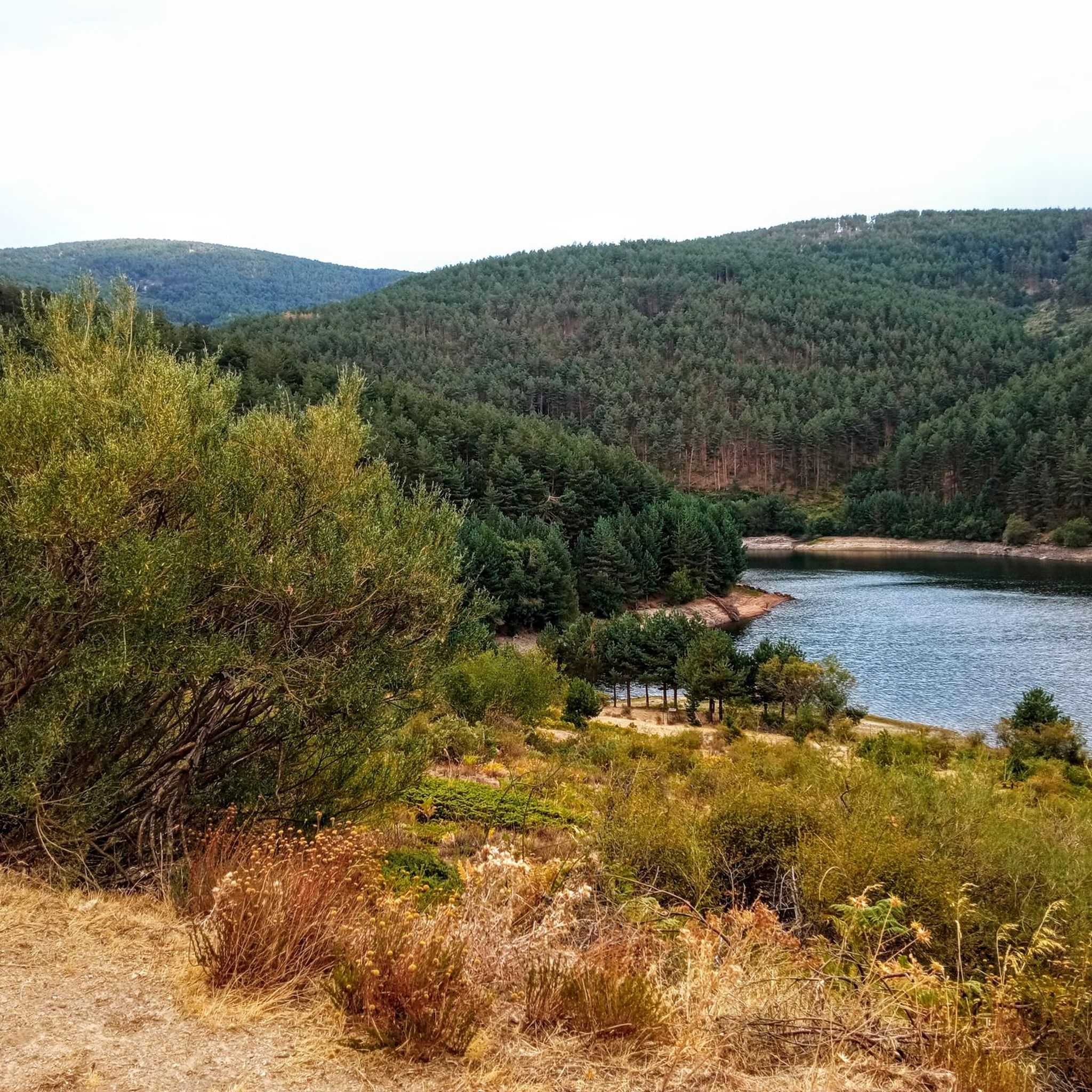
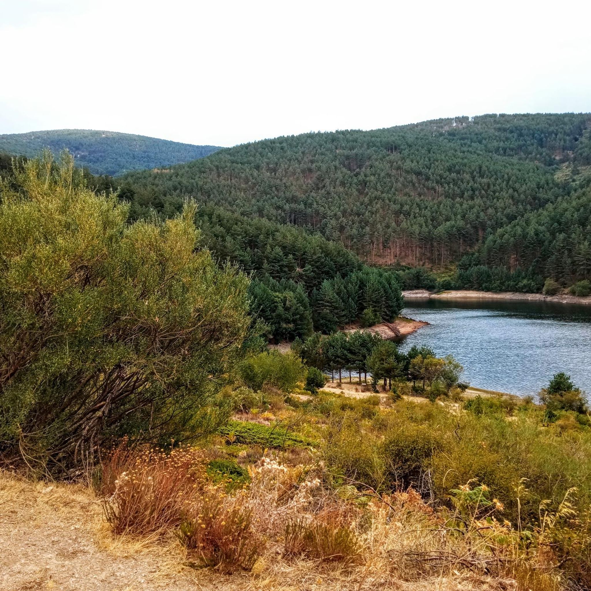
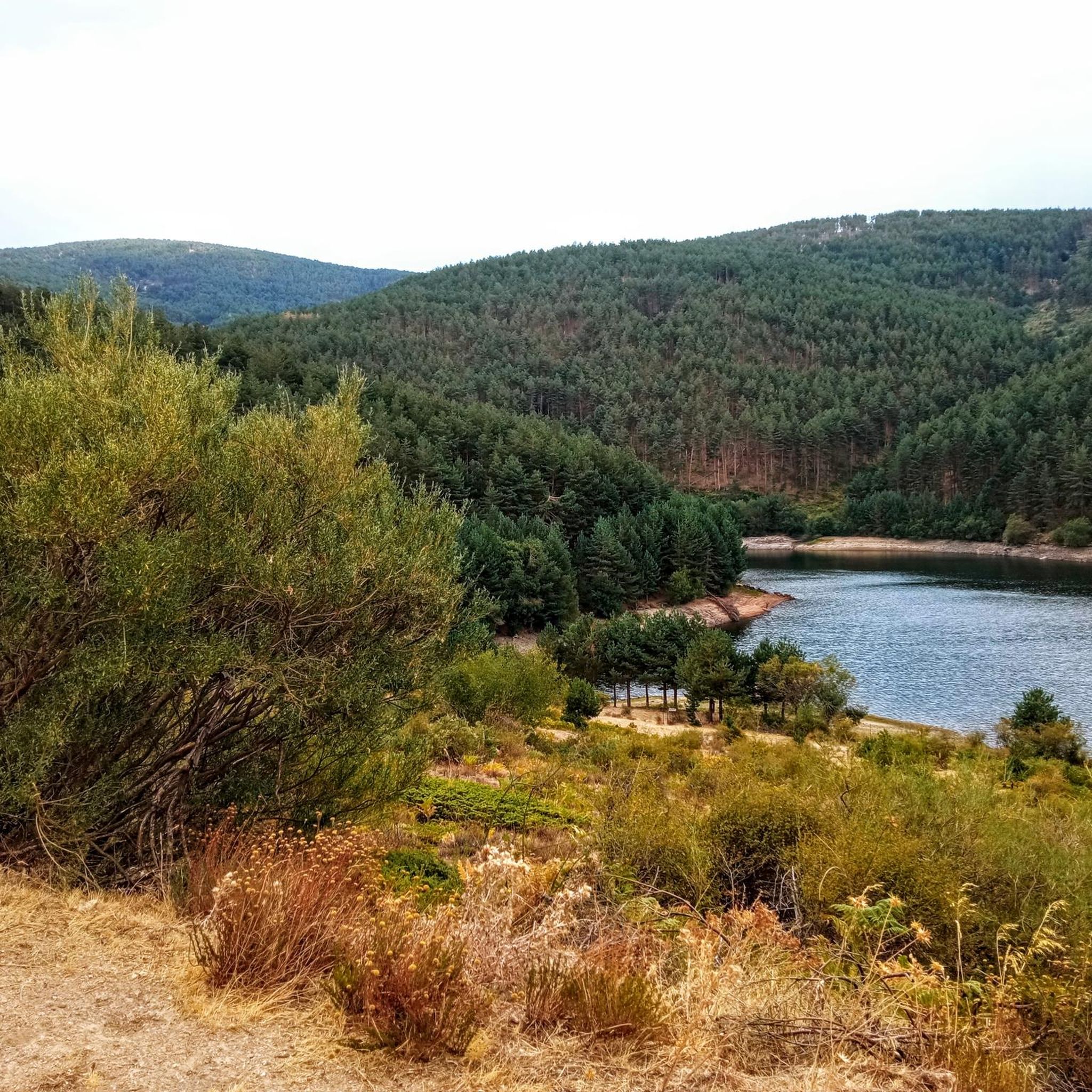
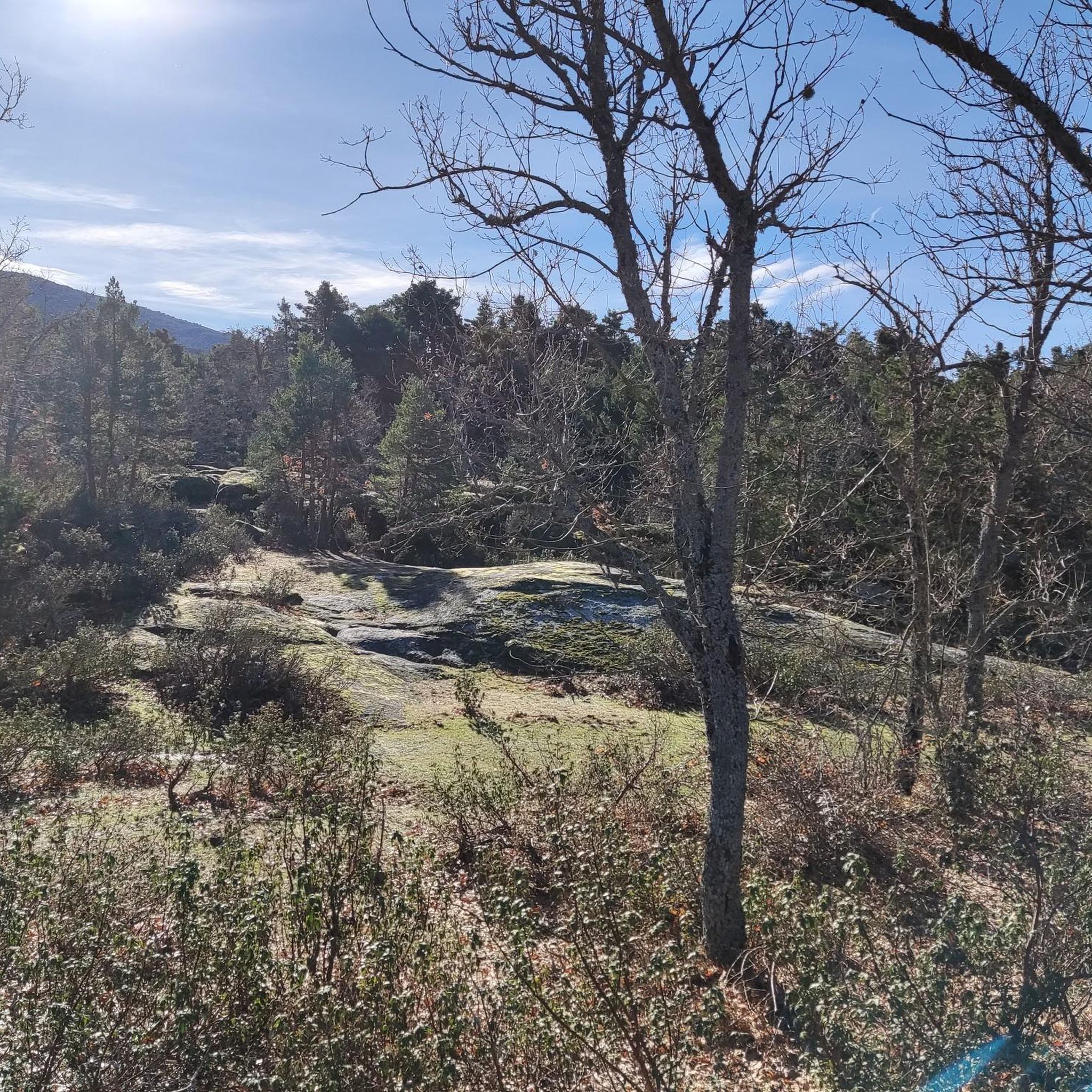
The Port of Navafría is one of the entrances to the famous Horizontal runway that connects this port with the historic port of Somosierra. The Port of Navafría is located between the municipalities of Lozoya and Navafría. With its 1,773 meters above sea level, it is considered a first-class port in the “Cycling Tour of Spain”. This natural area is made up of a lush oak forest in the lower part and a beautiful pine forest in the upper part.
0
0

Alto de La Sierra de Guadarrama between the Ports of Malangosto and Las Calderuelas between Segovia and Madrid.
0
0
One of the Natural Passes between Segovia and Madrid.
0
0

Nice port, little traffic and lots of shade
0
0

The Reventón pass is one of the highest mountain passes in the Sierra de Guadarrama, located at an altitude of 2,039 m and separating the provinces of Segovia and Madrid. The road connects the towns of Rascafría in the Lozoya Valley with La Granja de San Ildefonso.
3
0

Well-known mountain pass in the Central System area where it is a good point to start several mountain routes, both on its east and west sides.
0
0

On the list of the ''first'' riders in Madrid, Navafría is the one most enjoyed by the cyclist on foot. It's a cool, shady, twisty, tough, quiet route.
2
0
Frequently Asked Questions
What makes the mountain passes around Torrecaballeros significant?
The mountain passes around Torrecaballeros are situated within the Sierra de Guadarrama, an important mountain range that often serves as a natural boundary between the provinces of Segovia and Madrid. They offer diverse terrain and elevations, making them notable features in the local landscape.
Which mountain passes offer challenging routes for experienced adventurers?
For those seeking a challenge, the Navafría Pass is known as a tough, twisty route, popular with cyclists. Additionally, the Malagosto Pass (also known as Malangosto Pass), located at 1,928 meters, is part of challenging hiking routes, such as the nearly 20 km 'Chozo de la Chata (Malangosto) – Malagosto Pass loop from Pradera de Navalafuente' which involves significant elevation gain.
What kind of views can I expect from the mountain passes in this region?
The mountain passes in the Sierra de Guadarrama, such as Reventón Pass and Alto de Malangosto, are often categorized as viewpoints. Their high altitudes and locations within the mountain range provide scenic vistas of the surrounding natural landscape, including the boundary areas between Segovia and Madrid.
Are there hiking trails near the mountain passes around Torrecaballeros?
Yes, there are several hiking trails in the vicinity. For example, the 'Chozo de la Chata (Malangosto) – Malagosto Pass loop from Pradera de Navalafuente' is a challenging 19.5 km hike. You can find more hiking options and detailed routes in the Hiking around Torrecaballeros guide.
What cycling opportunities are available around these mountain passes?
The region offers excellent cycling opportunities. The Navafría Pass is particularly noted as a challenging route for both road and mountain bikes. For more routes, including difficult loops like 'La Morcuera Pass – Puerto de Canencia climb loop', check out the Road Cycling Routes around Torrecaballeros guide.
What is the altitude of the highest mountain passes in the area?
The Reventón Pass is one of the highest, located at an altitude of 2,039 meters (approximately 6,690 feet) above sea level. The Malagosto Pass is also significant, reaching an altitude of 1,928 meters (approximately 6,325 feet).
What do visitors enjoy most about the mountain passes near Torrecaballeros?
Visitors appreciate the diverse challenges offered by the passes, from the cool, shady, and quiet routes of Navafría Pass to the high-altitude vistas of Reventón Pass. The komoot community has contributed 22 photos and given 49 upvotes, highlighting the scenic beauty and varied terrain.
Are there running trails near the mountain passes?
Yes, the area around Torrecaballeros provides various running trails. You can find moderate running loops starting from Espirdo or Torrecaballeros itself, as well as trails along the Eresma. Explore more options in the Running Trails around Torrecaballeros guide.
Which mountain passes connect Segovia and Madrid?
Several passes in the Sierra de Guadarrama serve as natural boundaries between Segovia and Madrid. The Reventón Pass connects Rascafría in the Lozoya Valley with La Granja de San Ildefonso. Similarly, Alto de Malangosto is situated between the Malangosto and Las Calderuelas passes, also connecting the two provinces. The Malagosto Pass also separates these two provinces.
What are some of the natural features found around these mountain passes?
The mountain passes are set within the Sierra de Guadarrama, characterized by forests, natural monuments, and various trails. The region offers a rich natural landscape, providing opportunities for enjoying the outdoors and observing the local flora and fauna.
What is the best time of year to visit the mountain passes around Torrecaballeros?
While specific seasonal data isn't provided, mountain passes in the Sierra de Guadarrama typically offer pleasant conditions for hiking and cycling during spring and autumn, with cooler temperatures and vibrant landscapes. Summer can be warm at lower altitudes but refreshing at higher elevations. Winter may bring snow, making some routes challenging or requiring specialized gear.
Most popular routes around Torrecaballeros
Most popular attractions around Torrecaballeros

Get inspired with the komoot mobile app


Explore more
See even more epic mountain passes by checking out these guides around Torrecaballeros:
