Top 5 Mountain Passes around L'Espunyola
Best mountain passes around L'Espunyola are characterized by demanding trails and significant elevated sections within the Berguedà region of Catalonia. The area offers extensive hiking opportunities through natural landscapes, featuring prominent cliffs, ridges, and high points. These routes provide panoramic views across the Pre-Pyrenees and beyond, making them notable for their natural beauty and challenging experiences. The municipality is rich in pine, oak, and holm oak forests, providing a tranquil environment for outdoor activities.
Best mountain passes around L'Espunyola
- The…
Last updated: July 1, 2026
Rasos de Peguera
Highlight • Climb
Tip by

Coll de Busa
Highlight (Segment) • Mountain Pass
Translated by Google •
Tip by

Sign up now to discover places like this
Get recommendations on the best single tracks, peaks, & plenty of other exciting outdoor places.
Sign up for free
La Mina Tunnel
Highlight • Structure
Translated by Google •
Tip by

Mal Pas de Capolat
Highlight • Mountain Pass
Translated by Google •
Tip by
Mal Pas de Capolat (1288 m)
Highlight • Mountain Pass
Translated by Google •
Tip by

Sign up for free to discover even more mountain passes around L'Espunyola.
Sign up for free
Already have an account?
Start today with a free account
Your next adventure awaits.
Login or Signup
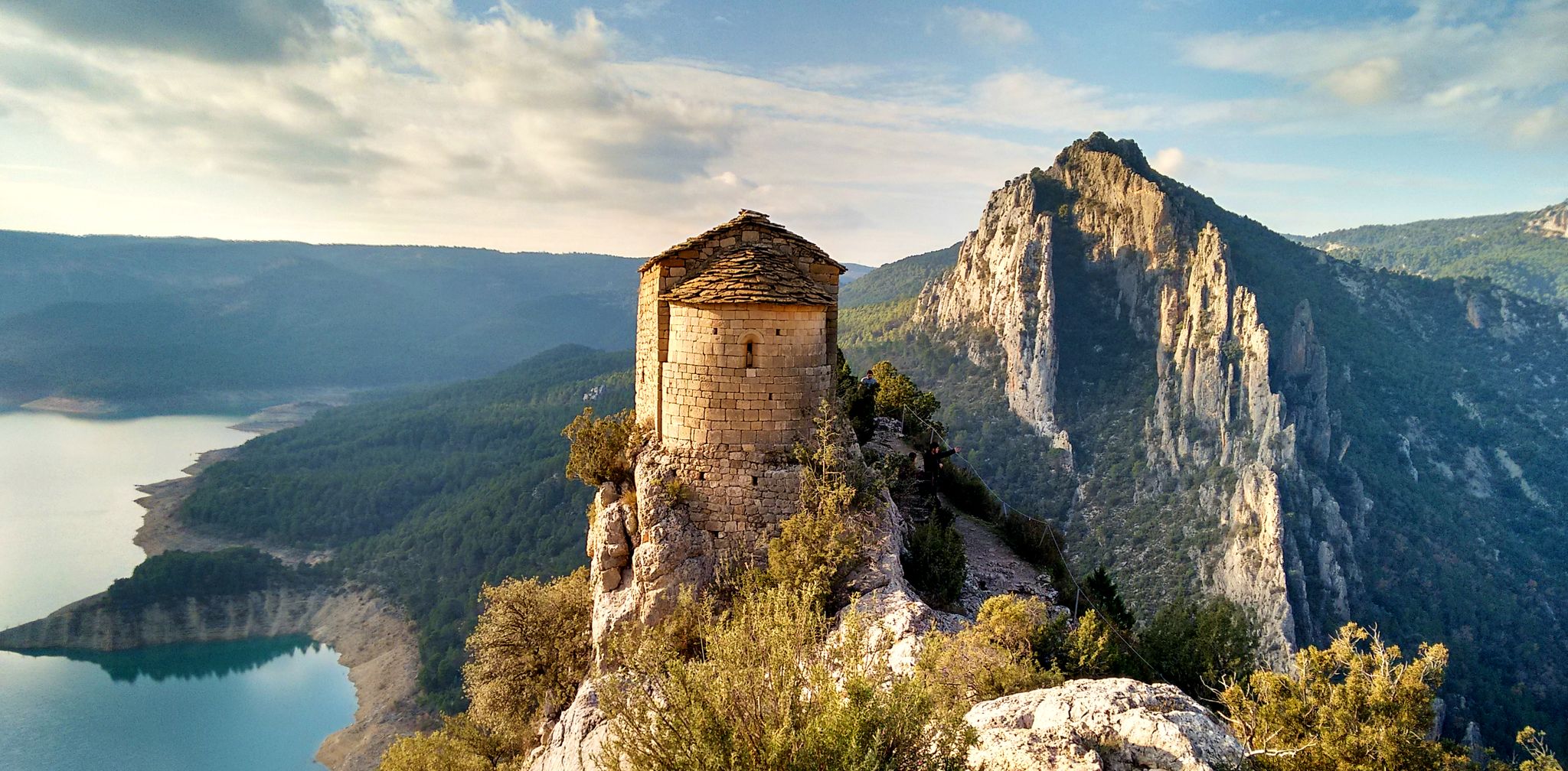
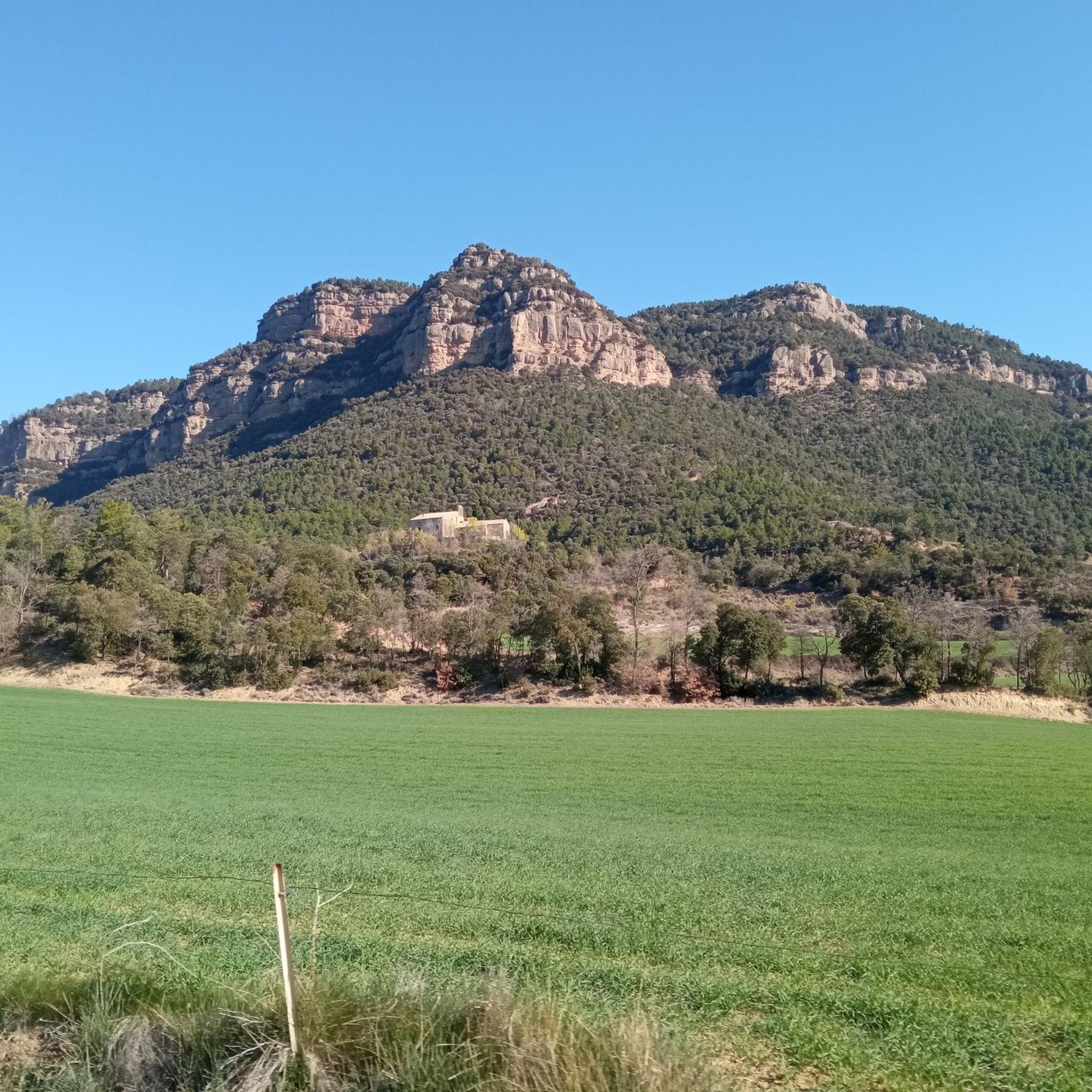
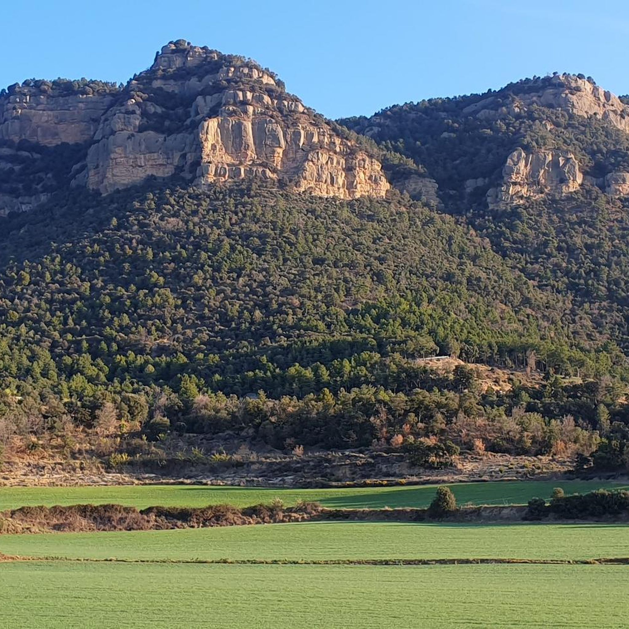
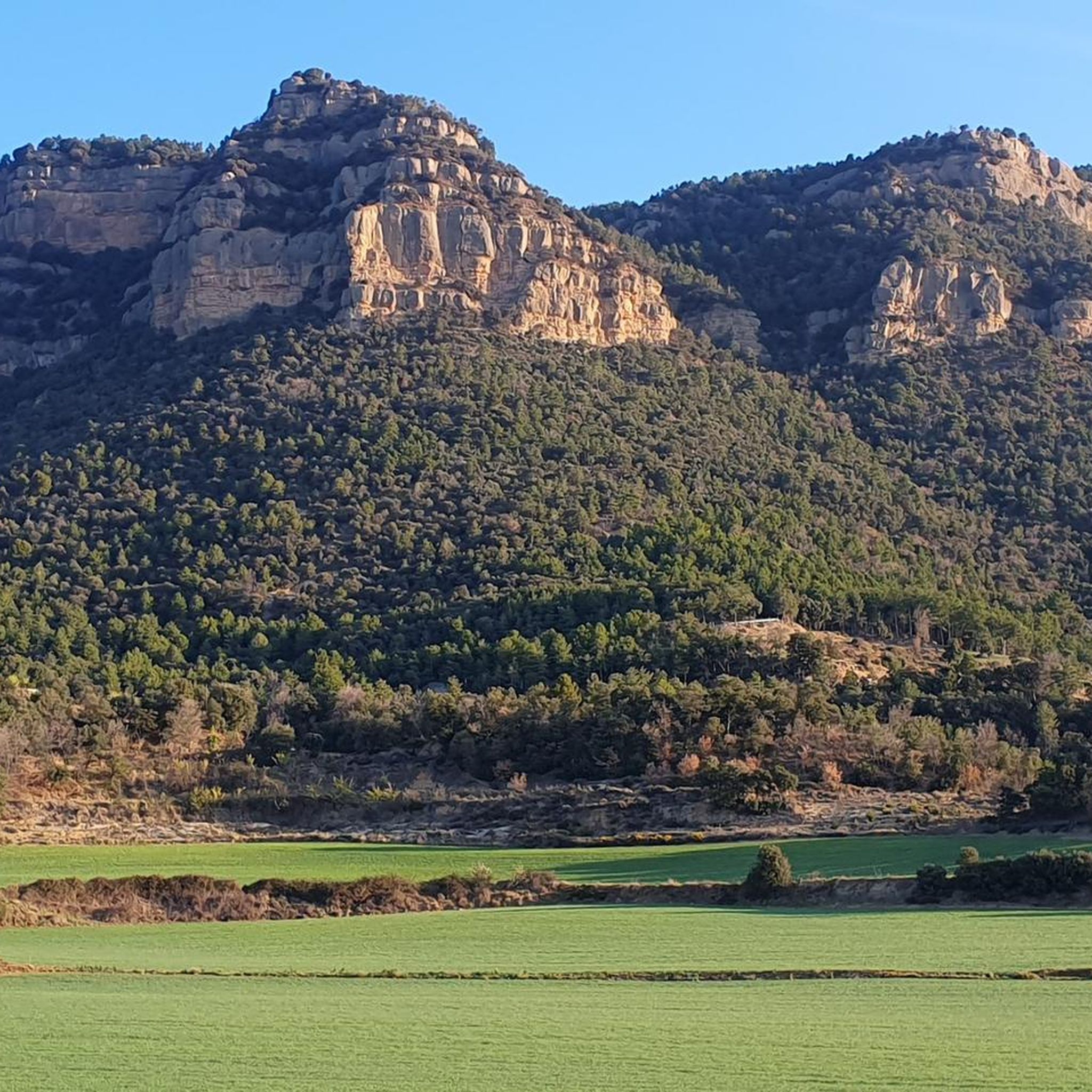

Other adventures around L'Espunyola

Tips from the Community

Very pleasant port of passage between Berga and Sant Llorenç de Morunys, with a very characteristic tunnel at the top. The two slopes are constant and accessible, with a lot of curves and along a very well paved and signposted mountain road. You can also reach the Mine through the port of Malpás de Capolat. It is a narrow road, with good asphalt, very quiet, a continuous up and down, although from the Mine it goes up more than down.
1
1
Ideal port on its southern slope for those who like climbs with high percentages. Mostly concreted road with a spectacular layout as it is excavated in the rock.
0
0
Spectacular climb to one of the most demanding peaks in Catalonia. Long climb, with sustained percentages and reaching almost 2000 meters. It is characterized by long straights and a very twisty and spectacular final stretch. Road in perfect condition.
0
0


The climb itself is very steep, and on concrete surface. But the rolling hills to Capolat afterwards are surrounded by very beautiful Catalan country side.
0
0
The gravel connection to the northern side has improved a lot. It's still very rough gravel. But rideable the whole way down on a road bike.
2
0

Between Solsona and Navès begins the hard gate of the Sierra de Busa with 14.4km long and 750m of positive difference in altitude. We will find maximum slopes of up to 17% and an average slope of 5.2% thanks to two long breaks that we will find halfway up the climb. It should be noted that km 11 is done at 9.6% and the last 400m have an average gradient of 11.7%. A demanding terrain that rewards you as soon as you reach the top where you can enjoy exceptional views of Solsonès and Bages, drawing Montserrat on the horizon. The Pla de Busa is located at 1372m.
1
0

Obligatory visit in any type of bike. Very interesting ramps to get to a spectacular place.
0
0
Frequently Asked Questions
What are some of the most scenic mountain passes and elevated sections around L'Espunyola?
The region around L'Espunyola offers several elevated sections and climbs known for their stunning views. Notable spots include Rasos de Peguera, which provides great views, and Coll de Busa, offering exceptional panoramas of Solsonès and Bages, with Montserrat visible on the horizon. The Cingles de Capolat and Els Tossals Mountain also feature extraordinary panoramic views across the Pre-Pyrenees.
Are there challenging mountain passes for experienced hikers or cyclists near L'Espunyola?
Yes, the area is known for its challenging terrain. For cyclists, Rasos de Peguera is a demanding climb with smooth tarmac, and Coll de Busa features gradients up to 17%. Hikers will find demanding trails through the Cingles de Capolat and the ascent to Els Tossals Mountain, as well as the narrow and potentially challenging Mal Pas de Runers, which requires careful navigation.
What kind of natural features can I expect to see when exploring the mountain passes in this region?
The mountain passes and elevated areas around L'Espunyola are rich in natural beauty. You'll encounter extensive pine, oak, and holm oak forests, prominent cliffs and ridges like the Cingles de Capolat, and expansive plains such as Pla de Cal Penjarella and Pla de Cal Sants. Many routes offer breathtaking panoramic views over the Montsec mountain range, Pla de Busa, and Roca de Canalda.
What outdoor activities can I do near these mountain passes?
The region is ideal for various outdoor activities. You can find extensive hiking opportunities, including challenging trails that traverse significant elevated sections. Mountain biking (BTT) is also popular, with routes like the 'Sant Vicenç d'Obiols Hermitage – View of the Serra de Queralt loop' available. For road cyclists, there are demanding routes such as the 'Font Negra – Queralt Sanctuary loop'. You can explore more options on the MTB Trails around L'Espunyola, Road Cycling Routes around L'Espunyola, and Cycling around L'Espunyola guide pages.
Are there any less crowded mountain passes or trails for a more solitary experience?
The Cingles de Capolat area is highlighted for its beautiful landscapes and solitary charm, making it a good option if you're looking to avoid crowds. Many of the demanding trails in the region offer a tranquil environment, ideal for disconnecting and enjoying the mountain scenery away from busier spots.
What is the best time of year to visit the mountain passes around L'Espunyola?
The area is generally suitable for outdoor activities for much of the year. Spring and autumn offer pleasant temperatures for hiking and cycling, with vibrant foliage or blooming flora. While winter can bring challenging conditions at higher elevations, the region's beauty persists. Always check local weather conditions before planning your trip, especially for higher or more exposed sections.
Are there any specific viewpoints worth seeking out among the mountain passes?
Absolutely. The ridge of Els Tossals Mountain offers extraordinary panoramic views, encompassing landmarks such as Taga, Puigsacalm, Montserrat, Pedraforca, and Queralt. Coll de Busa provides exceptional views of Solsonès and Bages. Additionally, the View of Pedraforca from Coll del Pedró is a popular spot to admire the iconic Pedraforca mountain.
What kind of terrain can I expect on the mountain pass routes?
The terrain varies from smooth tarmac on some cycling climbs like Rasos de Peguera to steep, concrete surfaces excavated in rock, as seen at Mal Pas de Capolat. Hiking trails often involve demanding ascents, narrow ravines, and sections with rough gravel or stones, such as the Mal Pas de Runers, which can be technically challenging.
Are there any historical or cultural points of interest near the mountain passes?
While the region is primarily known for its natural landscapes, some routes pass by historical remnants. For instance, the Pla de Cal Penjarella features the ruins of Cal Penjarella. The area also has a rich history tied to its natural resources and traditional mountain life, which can be observed through old farmhouses and structures along the trails.
What do visitors enjoy most about the mountain passes around L'Espunyola?
Visitors frequently praise the challenging nature of the climbs and trails, the spectacular panoramic views, and the tranquil environment. The smooth tarmac and great views of Rasos de Peguera are often highlighted by cyclists, while the unique ascent through a cliff at Mal Pas de Capolat is noted for being very photogenic. The sense of accomplishment after tackling demanding sections and the opportunity to disconnect in nature are also highly valued.
Are there any loop trails available for hiking or cycling around the mountain passes?
Yes, there are several loop routes that incorporate the elevated sections and passes. For mountain biking, you can find loops like the 'Sant Vicenç d'Obiols Hermitage – View of the Serra de Queralt loop from Avià'. Road cyclists can enjoy routes such as the 'Font Negra – Queralt Sanctuary loop from Avià'. These loops allow you to experience the diverse landscapes and challenges of the region without retracing your steps.
What should I wear for hiking or cycling in the mountain passes of L'Espunyola?
Given the varied terrain and potential for challenging conditions, it's advisable to wear appropriate outdoor gear. For hiking, sturdy boots with good ankle support are recommended, especially for rocky or uneven paths. Layers of clothing are essential to adapt to changing temperatures, and waterproof outerwear is wise. Cyclists should wear suitable cycling attire, including a helmet, and be prepared for demanding ascents and descents.
Most popular routes around L'Espunyola
Most popular attractions around L'Espunyola

Get inspired with the komoot mobile app


Explore more
See even more epic mountain passes by checking out these guides around L'Espunyola:
