Top 11 Natural Monuments around Condemios De Arriba
Best natural monuments around Condemios De Arriba include a diverse range of geological formations and scenic landscapes. The region is characterized by its location within the Sierra Norte de Guadalajara Natural Park, featuring mountains, rivers, and unique natural phenomena. Visitors can explore karstic lakes, river sources, and high peaks that offer extensive views. The area provides opportunities to experience varied ecosystems and natural beauty.
Best natural monuments around Condemios De Arriba
- The most popular natural monuments is Despeñalagua Waterfall,…
Last updated: November 1, 2026
Despeñalagua Waterfall
Highlight • Waterfall
Translated by Google •
Tip by

Natural Pool at El Molino Caído
Highlight • Lake
Translated by Google •
Tip by

Sign up now to discover places like this
Get recommendations on the best single tracks, peaks, & plenty of other exciting outdoor places.
Views of the Pelagallinas River
Highlight • Viewpoint
Translated by Google •
Tip by

Fuente de la Angostura
Highlight • Natural Monument
Translated by Google •
Tip by
Poyatón Viewpoint
Highlight • Viewpoint
Translated by Google •
Tip by
Sign up for free to discover even more natural monuments around Condemios De Arriba.
Already have an account?
Start today with a free account
Your next adventure awaits.

Tips from the Community

The Chorreras de Despeñalagua are an impressive set of waterfalls located in the Chorrera stream, a tributary of the Sorbe river, on the northern slope of the Ocejón peak near Valverde de los Arroyos. The waterfall has a height of about 120 meters and flows throughout the year, especially during the thaw season. In winter, frost is often found, which adds a magical touch to the landscape. The route to visit the Chorreras de Despeñalagua is simple and suitable for the whole family. The path, approximately 4.5 km, offers spectacular views and allows you to explore the streets and buildings of Valverde de los Arroyos. Also, on the way to the town, you will pass through other charming black towns such as Palancares, Almiruete and Tamajón. Definitely a destination worth exploring! 😊
8
0

There are several springs. The highest ones are difficult to approach because of the weeds and stones. We include here photos of the lowest ones.
1
0
It is a place in the Arroyo de La Chorrera, (next to a Pizarras bridge), where once it seems that there was a Mill that has already disappeared, and is currently adapted for bathing and recreation. There is a dam with gates that forms a natural pool in the stream itself and there are several tables with a Recreation Area.
0
0
A beautiful waterfall, with several sections of falls that bring the water down about 70 meters in height.
1
0
It is undoubtedly one of the most visited places in the province of Guadalajara.
1
0
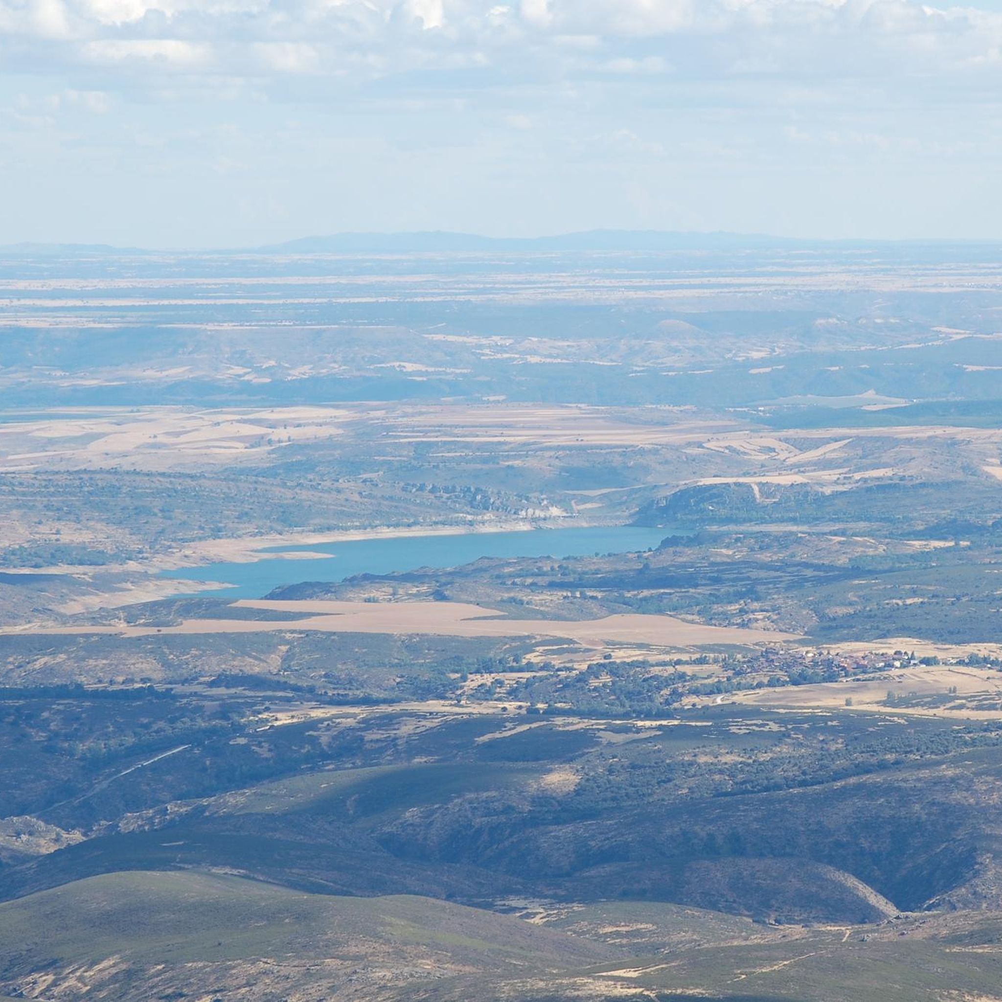
Near the top of the Pinarejo summit, on the right bank of the Río de La Hoz, is the Roqueda del Poyatón, which constitutes an extraordinary viewpoint of the Canyon of the aforementioned Río de La Hoz. You can also see the landscape of Cantalojas, La tejera Negra and even part of the province of Segovia, such as Pico de Grado.
0
0

Waterfall 120 meters high. The path to the waterfall is comfortable and has little unevenness next to an old ditch. At the base of the waterfall begins a mountain path to the top of Ocejón.
1
1

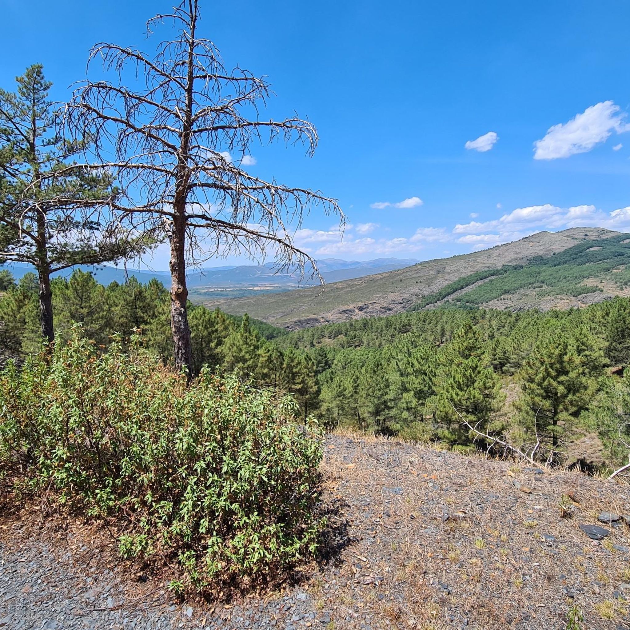
The Pelagallinas river valley is a Natural Reserve of high environmental value within the Sierra Norte de Guadalajara Natural Park due to the botanical diversity associated with fluvial ecosystems. The quartzite shoots that stand out in the slate relief of the mountains are striking and give a special geological value to the lonely mountain valley.
1
0
Frequently Asked Questions
What are some of the most popular natural monuments to visit around Condemios de Arriba?
Visitors frequently enjoy the impressive Despeñalagua Waterfall, a 120-meter cascade flowing year-round. Another favorite is the Natural Pool at El Molino Caído, a recreational spot perfect for bathing. The Views of the Pelagallinas River also offer a highly valued scenic experience within a Natural Reserve.
Are there any natural monuments suitable for families with children?
Yes, several natural monuments are family-friendly. The Despeñalagua Waterfall offers a simple route suitable for all ages. The Natural Pool at El Molino Caído is adapted for bathing and recreation with tables. Additionally, the Ruta de las Estatuas, a circular path featuring unique tree carvings, is considered easy and suitable for families.
What unique natural features can I expect to see in the region?
The area boasts diverse natural features, including the crystalline karstic lake at the Monumento Natural Sierra de Pela y Laguna de Somolinos, where the Bornova River emerges. You can also witness the fascinating phenomenon of the Manadero del Aguisejo, where a river mysteriously emerges from deep within the earth. High peaks like El Ocejón offer extensive panoramic views, and the Pozos del Arroyo de la Dehesa o Sorbe de Galve feature scenic pools.
What kind of hiking opportunities are available near these natural monuments?
The region offers a variety of hiking opportunities. You can explore a circular route around the Laguna de Somolinos, hike to the Manadero del Aguisejo, or undertake challenging ascents to El Ocejón for stunning vistas. For more detailed routes, you can find numerous options, including difficult trails like 'Pico Ocejon via the Chorrera Despenalagua', and moderate ones like 'Viewpoint to the Bear Cave from Prádena de Atienza', on the Hiking around Condemios De Arriba guide.
Are there any viewpoints offering panoramic views of the natural landscape?
Absolutely. The Views of the Pelagallinas River provide a striking perspective of the river valley. Another excellent spot is the Poyatón Viewpoint, which offers extraordinary views of the Río de La Hoz Canyon, Cantalojas, La Tejera Negra, and even parts of Segovia.
What is the Monumento Natural Sierra de Pela y Laguna de Somolinos?
This formally designated Natural Monument, located about 6 km from Condemios de Arriba, is a tranquil area centered around a crystalline karstic lake. It's known for its high ecological value, supporting diverse aquatic flora and fauna, and offers a broad visual expanse of mountain pastures and scrubland. It's an ideal destination for peace and natural beauty, with hiking routes that include the source of the Bornova River.
Can I find any natural monuments that combine art with nature?
Yes, the Ruta de las Estatuas is a remarkable blend of art and nature. This easy, circular route features 22 large statues carved into tree trunks within a beautiful pine forest. It offers a unique and memorable walk where human creativity integrates seamlessly with the natural environment.
What is El Ocejón and why is it significant?
El Ocejón, standing at 2048 meters, is one of the highest peaks in Castilla-La Mancha and a prominent natural landmark. It's a natural paradise for hikers, offering challenging ascents rewarded with extensive panoramic views. It dominates the Sierra Norte de Guadalajara Natural Park and is unique in Castilla-La Mancha for its diverse mountain landscapes.
What other outdoor activities are available besides hiking?
Beyond hiking, the region around Condemios de Arriba is excellent for mountain biking and road cycling. You can find various routes, such as the challenging 'Guadalajara - Segovia' MTB trail or the 'Alto Rey Loop' for cycling. Explore more options on the MTB Trails around Condemios De Arriba guide and the Cycling around Condemios De Arriba guide.
What is the best time of year to visit the natural monuments?
The natural monuments can be enjoyed throughout the year. Spring and autumn are ideal for hiking due to pleasant temperatures and vibrant colors, with autumn also being known for mushroom picking in the pine forests. In winter, the Despeñalagua Waterfall often features frost, adding a magical touch to the landscape. Summer is perfect for enjoying the Natural Pool at El Molino Caído.
What makes the Sierra Norte de Guadalajara Natural Park special?
The Sierra Norte de Guadalajara Natural Park, which encompasses the Condemios de Arriba area, is significant for its diverse ecosystems, including mountains, rivers, and unique geological phenomena. It's home to the Pelagallinas river valley, a Natural Reserve known for its botanical diversity and striking quartzite formations. The park offers a rich tapestry of natural beauty and is a haven for outdoor enthusiasts.
Most popular attractions around Condemios De Arriba

Get inspired with the komoot mobile app


Explore more
Extend your search for the best caves by checking out these guides of the top ones around Condemios De Arriba:
