Top 6 Natural Monuments around Kentchurch
Best natural monuments around Kentchurch include ancient trees, historic deer parks, and significant geographical features. This picturesque Herefordshire village is known for its diverse natural landscape, encompassing both ancient woodlands and river ecosystems. The area features notable natural landmarks and viewpoints, offering insights into the region's natural heritage and geological formations. These natural monuments provide opportunities for exploring the local environment.
Best natural monuments around Kentchurch
- The most popular natural monuments is Offa's Dyke Path, a trail that is…
Last updated: August 24, 2026
Offa's Dyke Path
Highlight • Trail
Tip by

Hatterrall Hill Summit
Highlight • Viewpoint
Tip by

Sign up now to discover places like this
Get recommendations on the best single tracks, peaks, & plenty of other exciting outdoor places.
Sign up for free
Higgins' Well
Highlight • Structure
Tip by

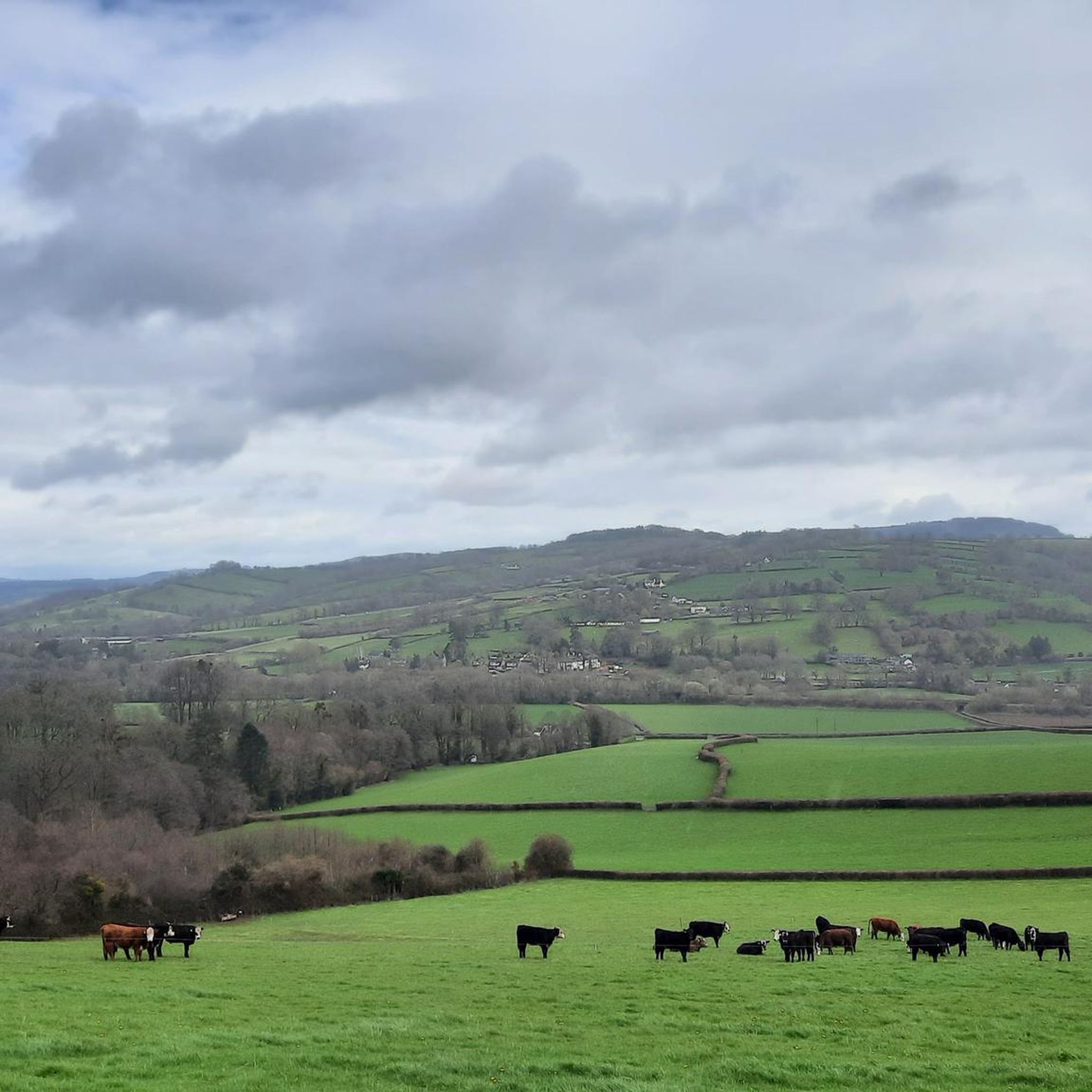
View of Hatterrall Hill and the Black Mountains
Highlight • Viewpoint
Tip by
Graig Syfyrddin (Edmund's Tump) Summit
Highlight • Viewpoint
Tip by

Sign up for free to discover even more natural monuments around Kentchurch.
Sign up for free
Already have an account?
Start today with a free account
Your next adventure awaits.
Login or Signup
Tips from the Community

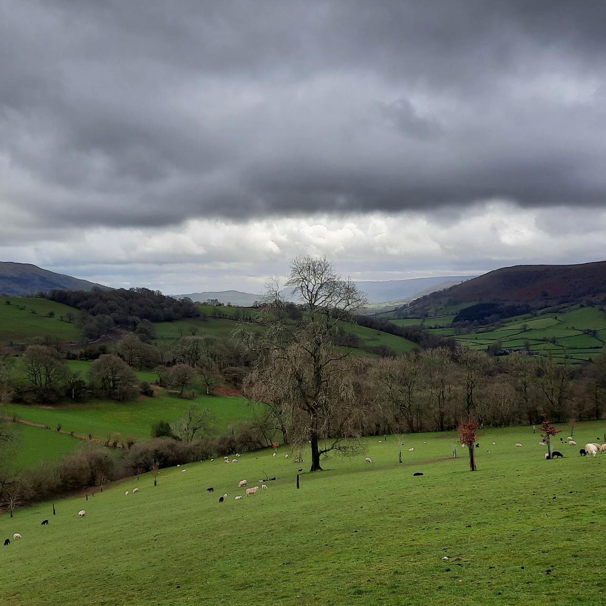
Although you can barely walk about 2.5m above the surrounding land on this 12-century-old dike, you still get a nice picture of the area. For those walking the Beacons Way, this is a nice run-up to the hills of Brecon Beacon National Park.
1
0

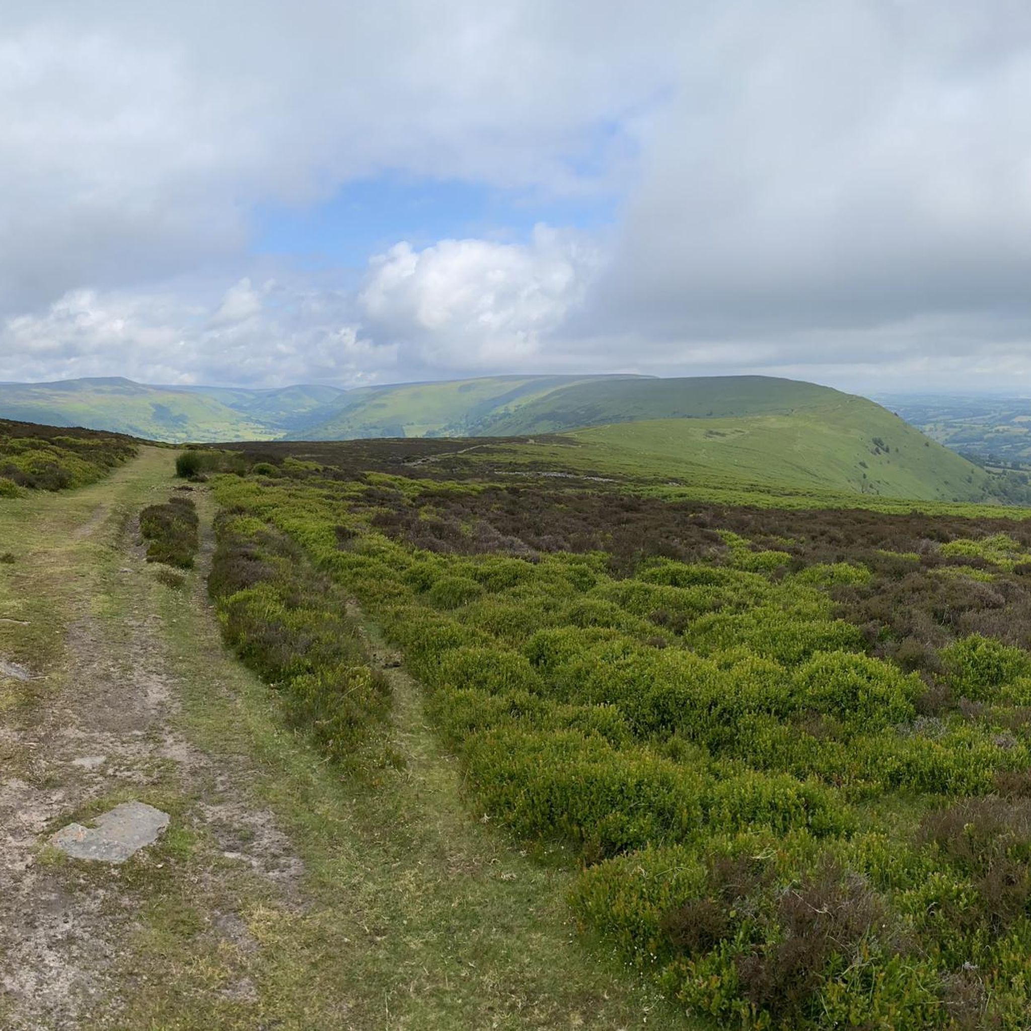
The trig point on Hatterrall Hill stands at 531m. The summit is part of the Hatterrall Ridge which runs north south from Llanvihangel Crucorney up to Hay Bluff. The Offa’s Dyke National Trail follows the ridge path.
0
0

Hidden a quiet part of Little Birch village, the brickwork of Higgins' Well dates from the early 19th century. Some improvements were added later, including a large pool as an animal trough for use during Victoria's diamond jubilee. Higgins Well has long been an important and unfailing supply of water for the village. A local legend about the well, as told on http://www.visitoruk.com/Hereford/little-birch-C592-V11335.html runs as follows: "The original outlet for the waters of the well was in a meadow at the top of the steep bank which rises above the present well. The owner of this meadow became so annoyed at the trespasses of the villagers across his land to the well that he had it filled up. However, shortly afterwards, while smoking his pipe in the great chimney corner of his house, he was startled by a sudden eruption of water under his feet." "To his untutored mind, the waters forcing this new outlet were a sign that the guardian spirit protecting the local people's rights was asserting itself. To appease this spirit, but determined not to reopen the well, he moved down to the present site and started to dig. In due course water began to bubble up through the underlying rock and, miraculously, the inrush in the chimney corner disappeared. The water spirit was obviously satisfied that water was once again made available to the people. This "act of contrition" resulted in local immortality for Mr Higgins."
0
0

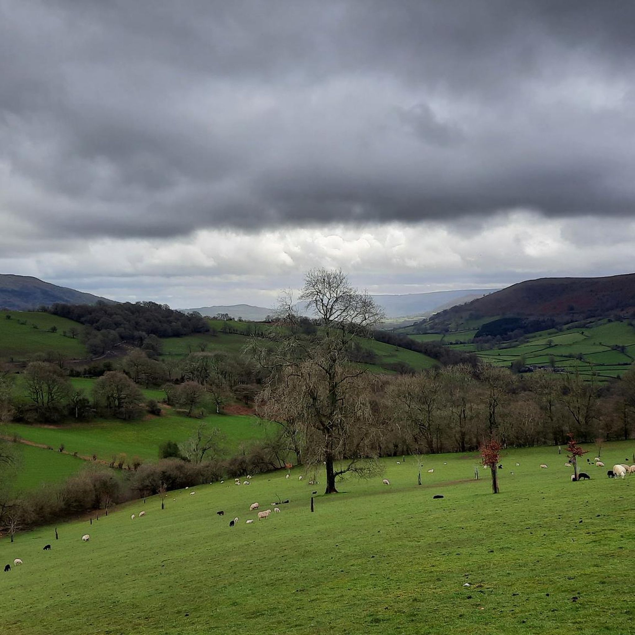
Fairly easy trail, can get a little muddy if it has been raining heavily.
2
0
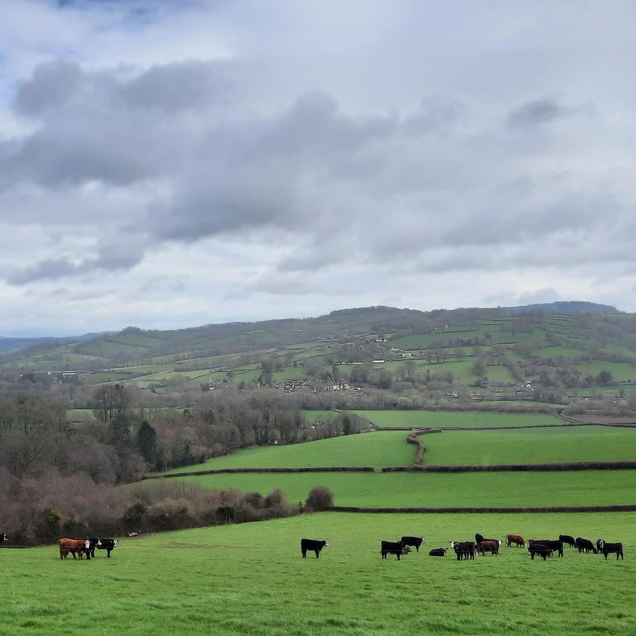
Really cool trail, nice to look to one side and see England, and to the other and see Wales. Interesting that England is mostly farmland, whilst Wales is nice and wild.
2
0

Hatterrall Hill – Mynydd Y Gader in Welsh – is a rounded high point towards the southern end of the Black Mountains' easternmost arm. Both the Offa's Dyke Path and Beacons Way pass its 1,742-foot (531 m) summit, which provides excellent views east into England and west, across the Black Mountains towards the Central Beacons. The ridge continues for many miles to the northwest, gaining height and eventually terminating on Hay Bluff.
2
0

Graig Syfyrddin or just The Graig, is a 423m high hill near Grosmont in north-eastern Monmouthshire, Wales. The summit knoll is known as Edmund's Tump. The hill consists of an isolated mass of the micaceous sandstones of the Brownstones Formation, a unit of the Old Red Sandstone well known from the nearby Black Mountains, of which it can be considered an outlier in both the geographical and geological sense
1
0

Offa's Dyke (Welsh: Clawdd Offa) is a large linear earthwork that roughly follows the current border between England and Wales. The structure is named after Offa, the Anglo-Saxon king of Mercia from AD 757 until 796, who is traditionally believed to have ordered its construction. Although its precise original purpose is debated, it delineated the border between Anglian Mercia and the Welsh kingdom of Powys. The earthwork, which was up to 65 feet (20 m) wide (including its flanking ditch) and 8 feet (2.4 m) high, traversed low ground, hills and rivers. Today it is protected as a scheduled monument. Some of its route is followed by the Offa's Dyke Path; a 176-mile (283 km) long-distance footpath that runs between Liverpool Bay in the north and the Severn Estuary in the south. Although the Dyke has conventionally been dated to the Early Middle Ages of Anglo-Saxon England, research in recent decades – using techniques such as radioactive carbon dating – has challenged the conventional historiography and theories about the earthwork, and show that it was started in the early fifth century, during the sub-Roman period.
2
0
Frequently Asked Questions
What are some of the most popular natural monuments around Kentchurch?
Visitors frequently appreciate the Offa's Dyke Path, a significant linear earthwork following parts of the England-Wales border, known for its historical importance and scenic views. Another popular spot is the View of Hatterrall Hill and the Black Mountains, offering expansive vistas across the landscape.
Are there any ancient trees or historic natural features to explore in Kentchurch?
Yes, Kentchurch is home to the remarkable Jack of Kent's Oak, an ancient Pedunculate Oak estimated to be over 1,000 years old, located within the historic Kentchurch Court deer park. This tree holds significant cultural value and is one of Britain's oldest and largest oaks. The Higgins' Well also offers a glimpse into local history with its early 19th-century brickwork and a local legend.
What kind of wildlife can be observed in the natural monuments near Kentchurch?
The historic Kentchurch Court Deer Park is home to approximately 250 fallow deer, providing an excellent opportunity to observe these animals in a natural setting. The Rhododendron Woods also feature a meandering stream that supports spawning trout, adding to the area's natural diversity.
What are the best times to visit the natural monuments around Kentchurch for seasonal displays?
The Rhododendron Woods within Kentchurch Court gardens offer a spectacular display of color from February through May when the rhododendrons and azaleas are in bloom. In spring, the woods are also carpeted with snowdrops, bluebells, and wild daffodils, creating a magical atmosphere. The gardens, including the rhododendron woods, are open on select days between April and October.
Are there family-friendly natural monuments or activities in the Kentchurch area?
The Kentchurch Court Deer Park, with its fallow deer and ancient trees, can be an engaging experience for families, often accessible through guided tours. The Rhododendron Woods also offer pleasant trails suitable for a family stroll amidst beautiful seasonal blooms.
What outdoor activities can I do near these natural monuments?
The area around Kentchurch offers various outdoor activities. You can find excellent cycling routes, such as the 'Vowchurch and Grosmont loop from Skenfrith' for touring bicycles, or the 'Dore Abbey – Turnastone Motte loop from Grosmont' for road cycling. For mountain biking, consider routes like the 'Biblins Suspension Bridge – River Wye loop from Llancloudy'. You can explore more options on the Cycling around Kentchurch, Road Cycling Routes around Kentchurch, and MTB Trails around Kentchurch guide pages.
Are there any significant river features or confluences near Kentchurch?
While not strictly within Kentchurch itself, the village is about 3 kilometers from the significant confluence of the River Dore and River Monnow near Pontrilas. The Monnow is known for its brown trout and grayling fishing, and its waters eventually join the River Wye. This confluence is important for its river ecosystems and offers recreational opportunities like fishing.
What are the access arrangements for the Kentchurch Court Estate's natural monuments?
Access to the Jack of Kent's Oak and the Kentchurch Court Deer Park is typically gained through guided tours of the estate or by prior arrangement with the Scudamore family. The gardens, including the Rhododendron Woods, are open on select days between April and October.
Are there any viewpoints offering panoramic views of the region?
Yes, the Hatterrall Hill Summit, located towards the southern end of the Black Mountains' easternmost arm, provides excellent views east into England and west across the Black Mountains. Another notable viewpoint is Graig Syfyrddin (Edmund's Tump) Summit, a 423m high hill near Grosmont offering views of the surrounding landscape.
What do visitors enjoy most about the natural monuments around Kentchurch?
Visitors frequently highlight the historical significance and natural beauty. For instance, those walking the Offa's Dyke Path appreciate the unique experience of seeing England on one side and Wales on the other, noting the contrast between farmland and wilder landscapes. The immense age and impressive size of the Jack of Kent's Oak are also often cited as a testament to centuries of natural endurance.
Most popular attractions around Kentchurch

Get inspired with the komoot mobile app


Explore more
Extend your search for the best caves by checking out these guides of the top ones around Kentchurch:
