Top 6 Natural Monuments around Shelsley Walsh
Best natural monuments around Shelsley Walsh are characterized by the area's distinct geological features and the picturesque Worcestershire countryside. The region's natural appeal is closely tied to its landscape, including the dramatic incline of the Shelsley Walsh Hill Climb and the scenic Teme Valley. Visitors can explore a variety of natural formations, from ancient geological sites to elevated viewpoints offering expansive vistas. The area provides opportunities to observe unique rock formations and historical natural features within a rural setting.
Best…
Last updated: May 17, 2026
Waterfall with Snowdrops
Highlight • Natural Monument
Tip by

Prior's Mill and Weir
Highlight • Natural Monument
Tip by

Sign up now to discover places like this
Get recommendations on the best single tracks, peaks, & plenty of other exciting outdoor places.
Sign up for free
Ankerdine Hill
Highlight • Viewpoint
Tip by

Walsgrove Hill Summit View
Highlight • Viewpoint
Tip by
Shavers End Quarry
Highlight • Viewpoint
Tip by
Sign up for free to discover even more natural monuments around Shelsley Walsh.
Sign up for free
Already have an account?
Start today with a free account
Your next adventure awaits.
Login or Signup
Tips from the Community

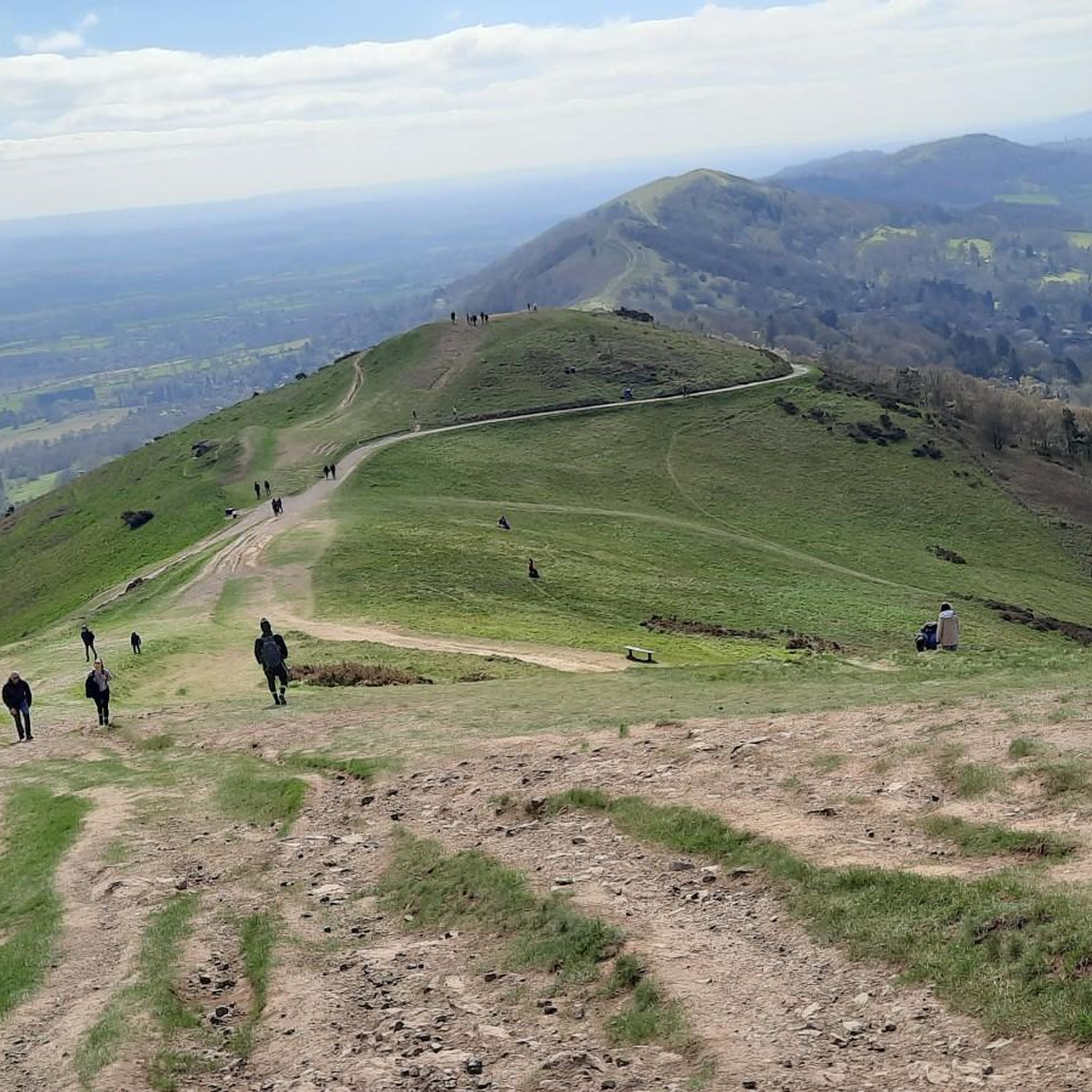
It's a steep pull up Walsgrove Hill from the north, and in the winter it will be slippery and muddy due to the activities of the sheep that live in this field. However, it offers fine views across to the clocktower and beyond.
0
0
This little man-made waterfall is the overflow from the big lake but is still quite realistic. Best visited in the winter for flow and less foliage to get in the way of the camera shot!|
0
0
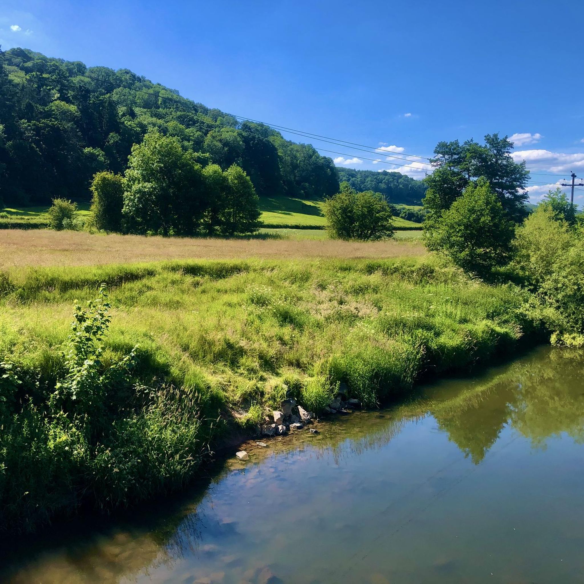
A real picturesque old mill, and the Geopark Way affords a really good view of the weir and house from a number of angles.
0
0

View to the West The lower part of Walsgrove Hill and the hill on which Abberley clock tower stands are Silurian siltstone. The valley of the River Teme cuts into soft mudstones of the upper Silurian Old Red Sandstone with the harder sandstones of the lower Devonian Old Red Sandstone forming the Bromyard plateau. The low hummocky ground at the base of these hills is underlain by Carboniferous age Coal Measures rocks. These form the southerly tip of the Wyre Forest coalfield. Coal was mined here until the early twentieth century. To the north west, the Clee Hills are also formed of Carboniferous rocks. A molten layer of rock pushed between the layers and formed a hard black dolerite rock, the Dhustone, which slowed the erosion of these still prominent hills and is quarried for roadstone to this day. Source: Local signage
0
0
Prior's Mill is a former seventeenth century timber-framed water mill, with twentieth century alterations, and now used as a private residence. Next to it is a very high weir on the Dick Brook. There used to be several mills on this stream long ago.
0
0
Shavers End Quarry is one of many quarries in the area located on the Abberley Hills, where the limestone is a sought after material for lime kilns, construction and the aggregates industry. Quarrying activity at Shavers End Quarry has sliced through the North West corner of Abberley Hill, providing a geological cross section for people to study the structure of the area in detail. The scale of the site, partnered with the bare rock faces allows visitors to fully appreciate the complex tectonic history of the area. Within the quarry there are two distinct rock formations exposed; the Lower Ludlow Shales Group and the Aymestry Limestone Formation. The Lower Ludlow Shales Group is the lower of the two units and consists of a series of siltstones and bluish grey mudstones. These rocks can be best seen at the southern end of the quarry, as well as on the eastern banks of the quarry lakes. The Aymestry Limestone is a blue-grey, nodular argillaceous limestone and forms the main rock face that extends along the western side of the quarry. The limestone is shaly and impure and notably contains a thick band of bentonite. Shavers End Quarry sits variably in the hinge zone and on the overturned limb of a large fold. The Lower Ludlow Shales and Aymestry Limestone at this locality are upside-down, suggested by the wrong-way-up orientation of fossils and other sedimentary structures. The age of folding has been the subject of much debate, with many different interpretations; it may have formed during the Variscan Orogeny (~300 million years ago); others suggested that folding occurred during the earlier Caledonian Orogeny (390 million years ago). However it is generally agreed that folding was instigated by thrust faulting on the East Malvern Fault system. This site is part of the Community Earth Heritage Champions Project.
0
0

Ankerdine Hill, at 489 feet (149 m), is part of the Abberley Hills ridge in the Abberley and Malvern Hills Geopark. The ridge was formed during the Silurian period and is of considerable geological significance. The River Teme loops around the hill, surrounding it on its western, southern and eastern side, giving it superb views of the Teme Valley. It is most commonly ascended from the village of Knightwick, where the award-winning Talbot pub is a good post-hike option.
0
0
Walsgrove Hill boasts fantastic views from its 869-foot (265 m) summit towards Abberley Hill and its clock tower. It is at the northern end of a ridge that also contains Cockshot, Rodge, Pudford, Penny, Berrow and Ankerdine Hills. Formed during the Silurian period, the ridge is part of the Abberley and Malvern Hills Geopark, an area of considerable geological significance, spanning 700 million years of natural history.
0
0
Frequently Asked Questions
What are the most prominent natural features and monuments around Shelsley Walsh?
The area around Shelsley Walsh is characterized by its picturesque Worcestershire countryside and distinct geological features. Key natural monuments include Prior's Mill and Weir on the Dick Brook, the expansive views from Walsgrove Hill Summit View, and the unique Ancient Sunken Road in Bromsgrove Sandstone. The dramatic incline of the Shelsley Walsh Hill Climb itself is also a notable natural feature.
Are there any historical natural features to explore near Shelsley Walsh?
Yes, several natural monuments in the area have historical significance. The Ancient Sunken Road in Bromsgrove Sandstone features grooves in the bedrock, suggesting a historical incline. Additionally, The Nubbins Sandstone Cliffs are a red sandstone formation historically quarried for building materials.
What kind of geological formations can I see in the Shelsley Walsh area?
The region is part of the geologically significant Abberley and Malvern Hills Geopark. At Walsgrove Hill Summit View, you can observe formations from the Silurian period, including siltstone and the harder sandstones of the lower Devonian Old Red Sandstone. The area also features Carboniferous age Coal Measures rocks and the distinctive Bromsgrove Sandstone, as seen in the Ancient Sunken Road.
Are there good viewpoints to appreciate the landscape around Shelsley Walsh?
Absolutely. Walsgrove Hill Summit View offers fantastic vistas from its 869-foot (265 m) summit, looking towards Abberley Hill and its clock tower. The Geopark Way also provides excellent views of the picturesque Prior's Mill and Weir and the surrounding Teme Valley.
What outdoor activities can I do near these natural monuments?
The area offers various outdoor activities, particularly hiking and running. You can find a range of routes, from easy strolls to more challenging hikes, that take you past these natural monuments and through the scenic Worcestershire countryside. Explore options like the 'View of Woodbury Hill – View of Abberley Clock Tower loop' or the 'River Teme Riverside Walk – Kingswood Common loop'. For more details, refer to the Easy hikes around Shelsley Walsh and Hiking around Shelsley Walsh guides.
Are there family-friendly walks or natural monuments suitable for children?
While specific 'family-friendly' tags aren't always present, many of the walks in the area, especially those categorized as 'easy,' can be suitable for families. Exploring the picturesque setting around Prior's Mill and Weir or the less strenuous sections of the Geopark Way can be enjoyable. The Ancient Sunken Road in Bromsgrove Sandstone even has a rope swing, which can be a fun discovery for younger visitors.
What is the best time of year to visit the natural monuments around Shelsley Walsh?
The Worcestershire countryside is beautiful year-round. Spring and summer offer lush green landscapes and pleasant weather for walking, though some paths, like the steep pull up Walsgrove Hill Summit View, can be muddy in winter due to sheep activity. Autumn brings vibrant colors to the foliage. Consider visiting during drier months for easier trail conditions.
Can I bring my dog on walks to these natural monuments?
Many of the walking trails in the Shelsley Walsh area are dog-friendly, allowing you to explore the natural monuments with your canine companion. However, always ensure dogs are kept under control, especially around livestock, and check for any specific local restrictions or signage at individual sites.
What should I wear or bring when hiking to these natural monuments?
Given the varied terrain, including potentially steep and muddy sections, especially on hills like Walsgrove Hill, sturdy walking boots are highly recommended. Dress in layers suitable for the weather, and bring water, snacks, and a map or GPS device. Some paths, like those near The Nubbins Sandstone Cliffs and Southstone Rock, can be overgrown, so long trousers might be beneficial.
Are there any natural monuments with unique rock formations or caves?
Yes, Southstone Rock is an amazing rock formation located in the woods, featuring a cave. Additionally, The Nubbins Sandstone Cliffs showcase striking red sandstone formations that have been historically quarried.
Where can I find information about the Shelsley Walsh Hill Climb itself?
The Shelsley Walsh Hill Climb is a naturally steep ascent, famous for its motorsport events. You can learn more about its history and significance as one of the steepest hillclimbs globally by visiting its Wikipedia page: Shelsley Walsh Speed Hill Climb.
Most popular attractions around Shelsley Walsh

Get inspired with the komoot mobile app


Explore more
Extend your search for the best caves by checking out these guides of the top ones around Shelsley Walsh:
