Top 20 Natural Monuments around Londerzeel
Best natural monuments around Londerzeel offer a diverse range of natural spaces and historical landscapes. The region features tranquil green areas like the Groene Long, which provides a peaceful retreat along the Molenbeek stream. Additionally, protected areas managed by Natuurpunt Londerzeel, such as the Marselaer area, showcase landscapes shaped by historical castle domains. These natural features near Londerzeel provide opportunities for walking routes and exploring local flora and fauna.
Best natural monuments around Londerzeel
- The most popular natural monuments is…
Last updated: June 28, 2026
Kravaalbos Forest
Highlight • Forest
Translated by Google •
Tip by

Confluence of the Dijle and Nete = Rupel
Highlight • River
Translated by Google •
Tip by
Sign up now to discover places like this
Get recommendations on the best single tracks, peaks, & plenty of other exciting outdoor places.
Sign up for free
Meise Botanic Garden
Highlight • Natural
Translated by Google •
Tip by

Geographical Center of Flanders
Highlight • Monument
Translated by Google •
Tip by

The Putten van Lacourt
Highlight • Lake
Translated by Google •
Tip by

Sign up for free to discover even more natural monuments around Londerzeel.
Sign up for free
Already have an account?
Start today with a free account
Your next adventure awaits.
Login or Signup
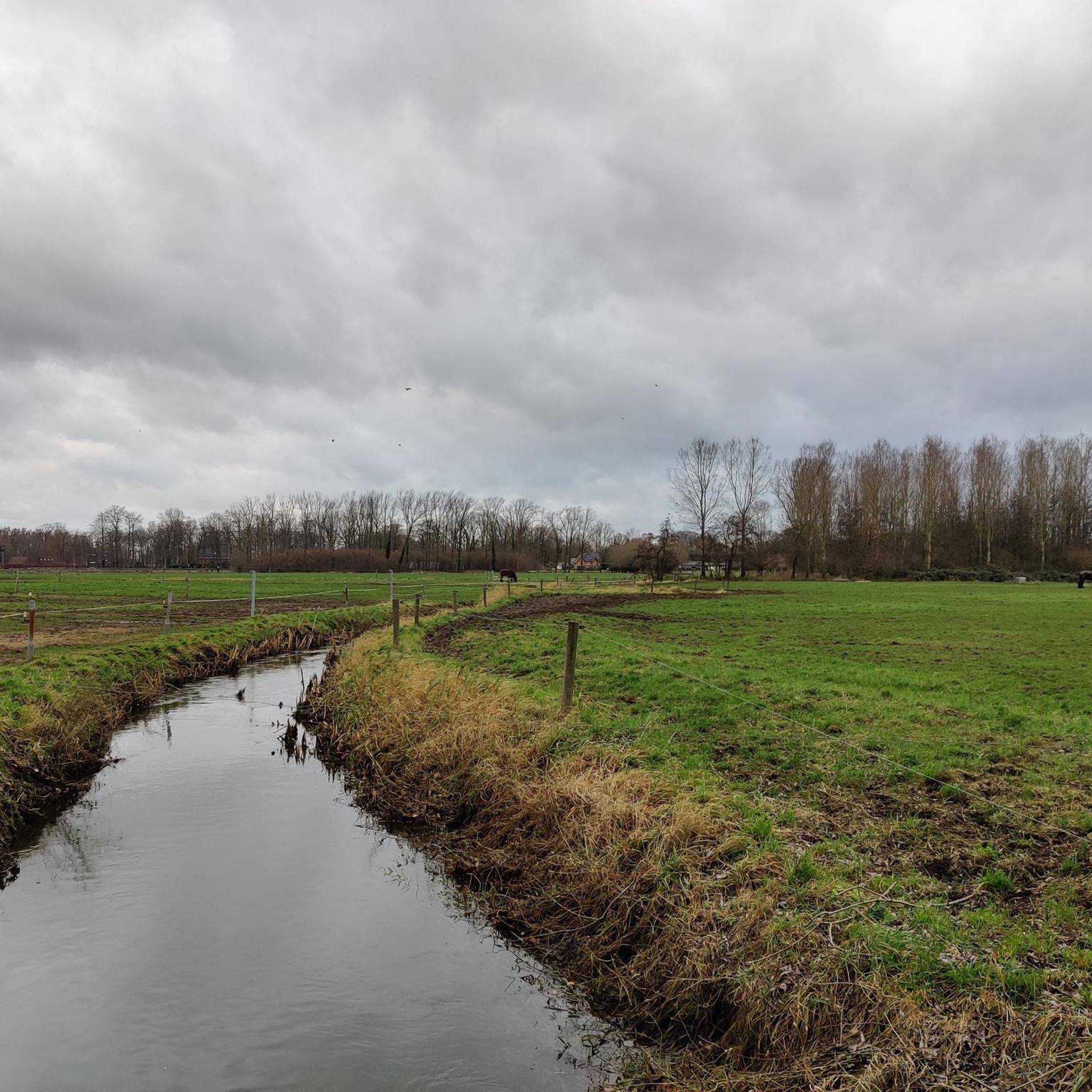
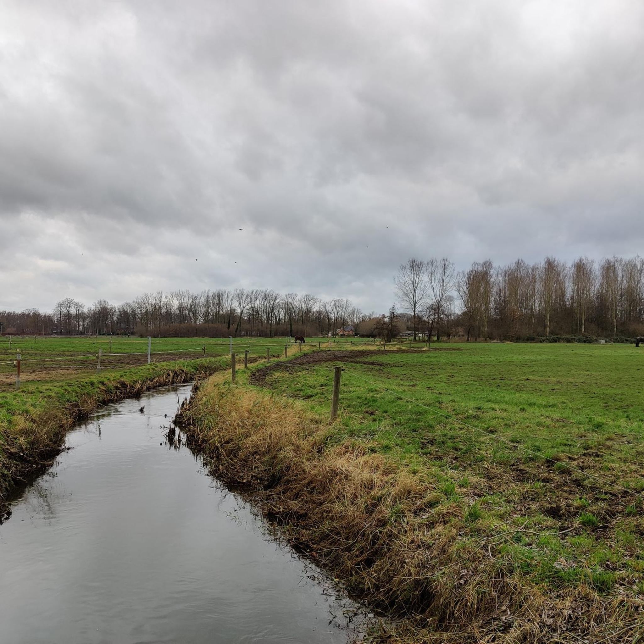
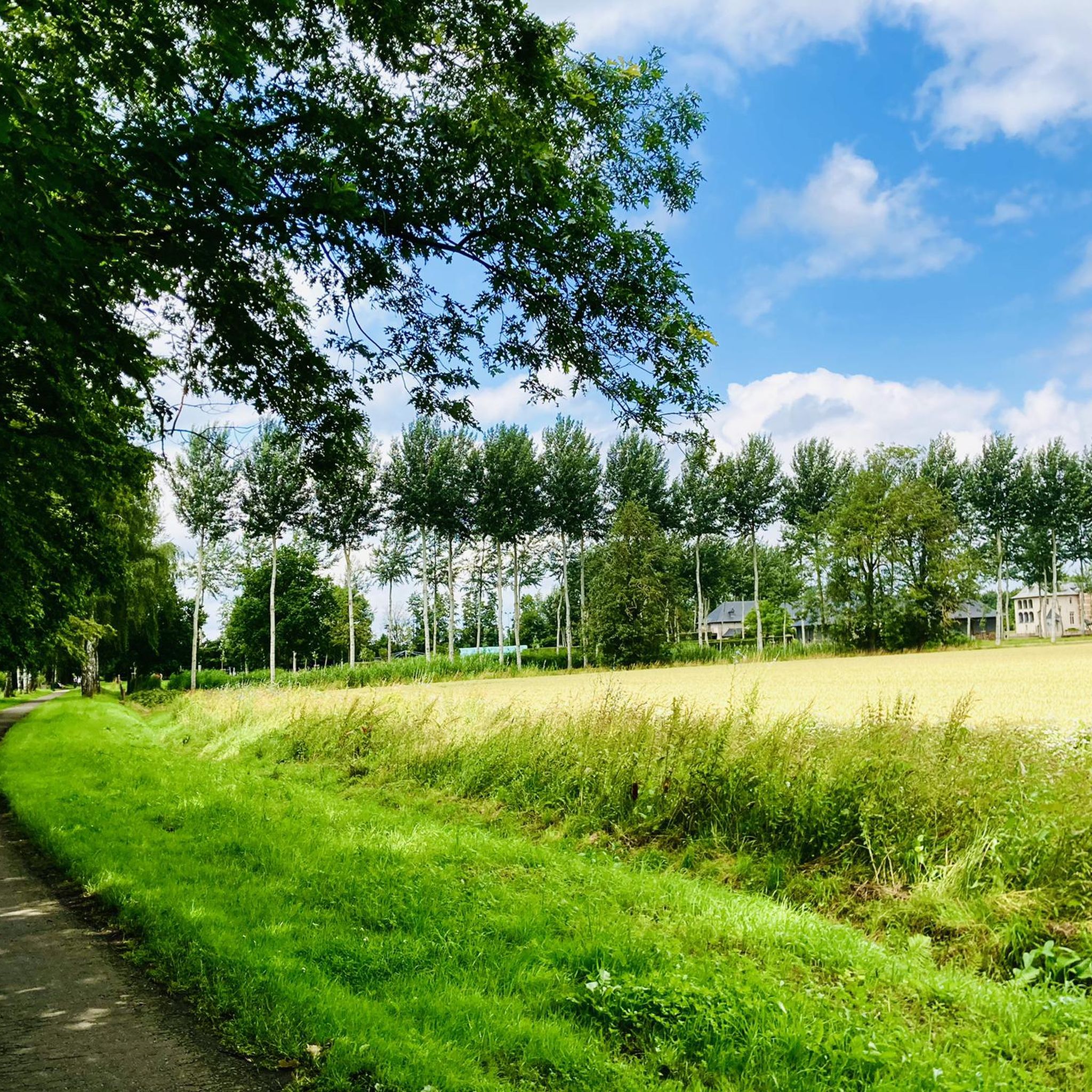
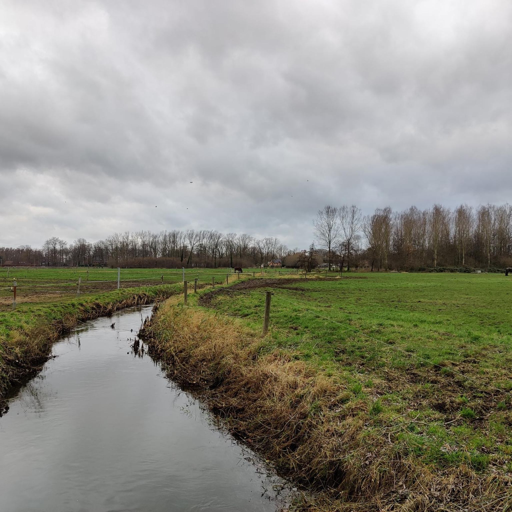

Tips from the Community

It is good to know where the center is in Flanders. Well, this is not the political center of Flanders, but the geographical center.
5
0

beautiful views, easy country roads, extension possible in the Kravaal forest
3
1

The geographical centre of Flanders was determined by students of the Faculty of Applied Sciences of the University of Leuven. Using GPS measurements and with the help of mathematics teacher Prof. Theo Van der Waeteren, the centre was determined in 1999: it is located in the far corner of East Flanders, a few dozen metres from the previously determined "three-province point" (East Flanders, Antwerp and Flemish Brabant). Just a few metres from the territory of Sint-Amands, it is just in Opdorp, a sub-municipality of Buggenhout. The coordinates are: 51° 2′ 16″ N, 4° 14′ 26″ E. A monument was placed at this point in 2003.
2
0
Beautiful, quiet forest. Some very muddy passages due to the persistent rain of the last months.
4
0

Varied forest, beautiful paths that can sometimes be muddy. Furthermore, the forest feels rather wild, fallen trees are only removed on narrower paths if the passage is too much hindered. Much attention is also paid to ensuring that the permanent forest inhabitants can do their thing as undisturbed as possible.
6
0

The geographical center of Flanders was determined by students from the Faculty of Applied Sciences of the University of Leuven. The center was determined in 1999[source?] via GPS measurements and with the help of the mathematics teacher: it is located in the furthest corner of East Flanders, a few tens of meters from the previously determined "three-province point" (East Flanders, Antwerp and Flemish Brabant). It is just a few meters away from the territory of Sint-Amands in Opdorp, a sub-municipality of Buggenhout. The coordinates are: 51° 2′ 16″ N, 4° 14′ 26″ E. In 2003 a monument was placed at this point.
4
0

Resting on the benches can be good.
11
0

The "Samenvloeiing van Dijle en Nete = Rupel" is a place in Belgium which is located where the rivers Dijle and Nete join to form the river Rupel. It is located in the Flemish region, in the province of Antwerp, in the city of Rumst. This site is known for its natural beauty and for being a meeting point between the waters of the two rivers. The confluence of the rivers creates a striking and fascinating landscape, with large expanses of water joining and mixing. The area around the Samenvloeiing van Dijle en Nete = Rupel also offers opportunities to enjoy the surrounding nature, with scenic trails and green areas that invite for walks and hikes. It's a popular spot with nature lovers and those looking to spend time outdoors.
5
0
Frequently Asked Questions
What are the most popular natural monuments around Londerzeel?
Visitors frequently enjoy the Kravaalbos Forest, known for its varied paths and seasonal colors. Another favorite is The Putten van Lacourt, a tranquil lake attracting many birds. The Confluence of the Dijle and Nete = Rupel is also highly appreciated for its natural beauty and the view of Belgium's shortest river.
Are there family-friendly natural monuments in the Londerzeel area?
Yes, the Confluence of the Dijle and Nete = Rupel is considered family-friendly, offering scenic views where two rivers merge. The Groene Long in Londerzeel also provides a small maze and playground for children, making it suitable for families.
What kind of natural features can I expect to see around Londerzeel?
Londerzeel offers a mix of forests, rivers, and tranquil green spaces. You can explore ancient woodlands like the Kravaalbos Forest, observe the convergence of rivers at the Confluence of the Dijle and Nete = Rupel, and enjoy peaceful lakes such as The Putten van Lacourt. The Groene Long features the Molenbeek stream, ponds, and a high-stemmed orchard.
What outdoor activities can I do near the natural monuments?
The region around Londerzeel is excellent for various outdoor activities. You can find numerous running trails, road cycling routes, and MTB trails. For example, explore routes like the 'Gravel Road – Gravel Avenue Near Imde Castle loop' for running or the 'Juleskesroute - Red Loop' for mountain biking. You can find more details on these activities in the Running Trails around Londerzeel, Road Cycling Routes around Londerzeel, and MTB Trails around Londerzeel guides.
Are there historical elements integrated with the natural areas?
Yes, the region blends nature with history. The Groene Long, for instance, includes the Burchtterrein (Castle Grounds) with a medieval defensive tower. Additionally, areas managed by Natuurpunt Londerzeel, such as the Marselaer area, are characterized by historical castle domains, suggesting landscapes shaped by centuries of estate management.
What is the best time to visit the natural monuments around Londerzeel?
The natural monuments offer different charms throughout the year. The Kravaalbos Forest is particularly beautiful in autumn for its colors and scents, and in spring for its purple bluebells. Generally, spring and autumn provide pleasant weather for walking and exploring the green spaces.
Are there any natural monuments suitable for dog walking?
Many natural areas around Londerzeel are suitable for dog walking. The Groene Long, for example, features a dedicated dog play area. When visiting forests like Kravaalbos Forest, it's generally recommended to keep dogs on a leash to protect wildlife and ensure a pleasant experience for all visitors.
What wildlife can be observed in Londerzeel's natural monuments?
In the Groene Long, you might spot 'koesterburen' (cherished neighbors) like the elegant yellow sedge along the water's edge in spring. Lucky visitors might hear the call of the little owl, and after sunset, the fringed myotis bat can be seen. The Putten van Lacourt is also known for attracting numerous swimming birds.
Are there accessible natural monuments for wheelchairs or strollers?
The Groene Long in Londerzeel is designed with accessibility in mind, featuring paths suitable for wheelchairs and strollers. This makes it a good option for visitors requiring easier access to nature.
Where can I find a unique geographical landmark in the region?
You can visit the Geographical Center of Flanders. Located in Opdorp, a sub-municipality of Buggenhout, this spot marks the exact geographical center of Flanders, determined by GPS measurements, and features a monument.
What do visitors enjoy most about the natural monuments around Londerzeel?
Visitors appreciate the tranquility and natural beauty of the areas. They enjoy the varied paths in forests like Kravaalbos Forest, the peaceful atmosphere of lakes like The Putten van Lacourt, and the unique views at the Confluence of the Dijle and Nete = Rupel. The blend of natural spaces with historical elements also adds to the appeal.
Are there any botanical gardens or extensive plant collections nearby?
Yes, the Meise Botanic Garden is a significant natural monument in the vicinity. It is one of Europe's largest and most biodiverse botanical gardens, featuring 92 hectares with various plant collections, including orchids, cacti, and palm trees, housed in impressive greenhouses and outdoor spaces.
Most popular routes around Londerzeel
Most popular attractions around Londerzeel

Get inspired with the komoot mobile app


Explore more
Extend your search for the best caves by checking out these guides of the top ones around Londerzeel:
