Top 15 Mountain Passes around Chies D'Alpago
Best mountain passes around Chies D'Alpago offer access to the Venetian Pre-Alps and the Dolomites. This region in the province of Belluno, Italy, features diverse mountain landscapes. The area is characterized by pre-Alpine passes, ridge walks, and historical routes. Visitors can explore a variety of trails and viewpoints.
Best mountain passes around Chies D'Alpago
- The most popular mountain passes is Sauc Saddle, a mountain pass and summit that represents the Piancavallo basin. It is immersed in a forest and offers panoramas over the plain and Piancavallo.
- Another must-see spot is Lovo Pass, a family-friendly mountain pass with viewpoints. Visitors can expect a great area suitable for biking, including winter biking options in Piancavallo.
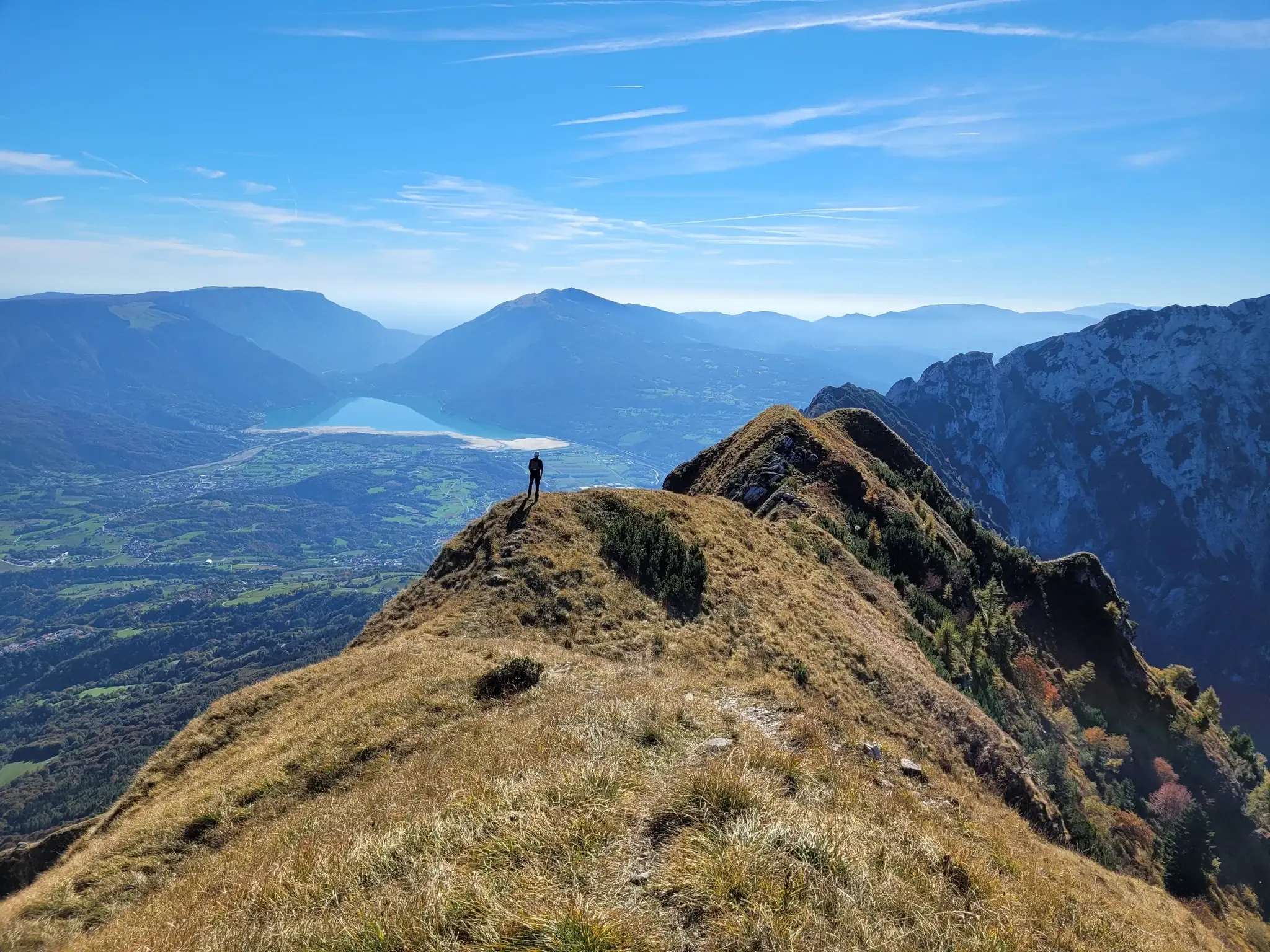
- Visitors also love Forcella Val Grande, a challenging mountain pass and viewpoint. From its 1,926 meter elevation, it provides a 360° panorama of the Venetian-Belluno Alps, the Piancavallo group, and the Julian Alps.
- Chies D'Alpago is known for mountain passes, viewpoints, and trails through forests. The region offers a variety of mountain passes to see and explore, ranging from intermediate to challenging.
- The mountain passes around Chies D'Alpago are appreciated by the komoot community, with 44 upvotes and 8 photos shared by users.
Last updated: August 22, 2026
Fadalto Pass
Highlight • Mountain Pass
Translated by Google •
Tip by

Forcella Val Grande
Highlight • Mountain Pass
From here you can enjoy a 360° panorama. Towards the west, in fact, you can admire the mountain range of the Venetian-Belluno Alps, towards the south the Piancavallo group is clearly recognisable, and for the remaining part, on clear days, you can see a good part of the Julian Alps all the way to the sea.
Translated by Google •
Tip by

Sign up now to discover places like this
Get recommendations on the best single tracks, peaks, & plenty of other exciting outdoor places.
Sign up for free
Sauc Saddle
Highlight • Mountain Pass
Translated by Google •
Tip by

Forcella Lastè
Highlight • Mountain Pass
Translated by Google •
Tip by

Lovo Pass
Highlight • Mountain Pass
Translated by Google •
Tip by

Sign up for free to discover even more mountain passes around Chies D'Alpago.
Sign up for free
Already have an account?
Start today with a free account
Your next adventure awaits.
Login or Signup
Popular around Chies D'Alpago
A fairytale hike in Italy’s Pale Mountains – Alta Via delle Dolomiti 7

A trail running adventure in the Dolomites – Alta Via 6
Hiking around Chies D'Alpago
Cycling around Chies D'Alpago
Road Cycling Routes around Chies D'Alpago
Gravel biking around Chies D'Alpago
MTB Trails around Chies D'Alpago
Running Trails around Chies D'Alpago

Mountain Hikes around Chies D'Alpago


Tips from the Community


magnificent view of the villages below
0
0

Winter biking is also possible in Piancavallo
0
0

The Sauc saddle divides Mount Sauc from Col Cornier and opens up the panorama over the plain and Piancavallo.
0
0

The Fadalto saddle is a pre-Alpine pass that connects Val Lapisina to Alpago, between the provinces of Treviso and Belluno. The pass is narrow between Mount Faverghera on one side and the slopes that border the Cansiglio on the other. The saddle was formed by multiple landslide events that affected its eastern side. The accumulation of material in the valley floor led to the formation of a barrier that interrupted the course of the Piave and formed two barrier basins, Lake Santa Croce on the Belluno side and Lake Morto in the Treviso area. Studies carried out on organic material found in the area have allowed us to place the first events at the end of the last ice age, when with the retreat of the great Piave glacier the counterthrust that supported the rocky walls disappeared. The landslide is still active: on the eastern flank there is still a large detachment niche, approximately 5 km long and 400 m high, subject to periodic collapses. The last one, still clearly visible, dates back to 2017. Until 1995, the year the A27 motorway was built, the Alemagna state road 51 which passes right here was the only connection between the Treviso foothills and Valbelluna.
2
1

Relatively heavy car traffic, many motorbikes, very few trucks, noisy, rather gentle climb
1
2
Traveling alone is simply beautiful
1
0

beautiful naturalistic road Piancavallo
0
0
Frequently Asked Questions
What are some mountain passes known for their scenic views around Chies D'Alpago?
For breathtaking panoramic views, consider Forcella Val Grande. From its 1,926-meter elevation, it offers a 360° panorama of the Venetian-Belluno Alps, the Piancavallo group, and even the Julian Alps on clear days. Another excellent option is Forcella Dolada, which provides exceptional views of the southern Dolomites and the Alpago basin, including the distant Lago di Santa Croce.
Are there any mountain passes with historical significance near Chies D'Alpago?
Yes, Passo San Boldo, located about 25 kilometers from Chies d'Alpago, is renowned for its extraordinary engineering and historical significance. Known as the 'Road of 100 Days,' it was constructed by the Austro-Hungarian army during World War I and features a dramatic stretch of road with five tunnels and eight hairpin turns. You can learn more about its history on Wikipedia or Visit Dolomiti Bellunesi.
Which mountain passes are suitable for families or offer easy access?
Lovo Pass is highlighted as a family-friendly mountain pass with viewpoints, making it a great area for biking, including winter biking options in Piancavallo. Its accessibility and scenic beauty make it a good choice for a family outing.
What kind of natural features can I expect to see at these mountain passes?
The region offers diverse natural features. For instance, Sauc Saddle is immersed in a respectable forest, offering panoramas over the plain and Piancavallo. Forcella Dolada features a scenic ridge walk with views of prominent Dolomite peaks and the Alpago basin. The Fadalto Pass area is characterized by its formation due to ancient landslides, leading to the creation of Lake Santa Croce and Lake Morto.
What outdoor activities can I do near these mountain passes?
Beyond exploring the passes themselves, the region around Chies D'Alpago offers various outdoor activities. You can find numerous routes for gravel biking, road cycling, and general cycling. For example, there are many cycling tours available, such as the 'Lake Santa Croce – Lake Santa Croce loop' for general cycling, or 'Santa Croce Lake – View of Lake Santa Croce loop' for road cycling. You can explore more options in the Cycling around Chies D'Alpago guide, the Gravel biking around Chies D'Alpago guide, or the Road Cycling Routes around Chies D'Alpago guide.
Are there any mountain passes that are less crowded for a serene experience?
Forcella Dolada is often described as providing a serene experience, often far from crowded tourist spots. It allows visitors to immerse themselves in the natural beauty of the Venetian Pre-Alps, making it ideal for those seeking tranquility and rewarding views without extreme technical difficulty.
What is the difficulty level of mountain passes in this region?
The mountain passes around Chies D'Alpago offer a range of difficulties. For example, Forcella Val Grande is considered challenging, while Fadalto Pass is intermediate. The region caters to various skill levels, from intermediate to challenging, ensuring there's something for every outdoor enthusiast.
Can I find any viewpoints that offer a good perspective of the Alpago basin and Lake Santa Croce?
Yes, the View of Conca dell'Alpago and Lake Santa Croce offers a panoramic glimpse from the piedmont road, providing an excellent perspective of the Fadalto Pass, Mount Faverghera, the Cansiglio plateau, and the beautiful Lake Santa Croce.
What do visitors enjoy most about the mountain passes around Chies D'Alpago?
Visitors particularly appreciate the diverse landscapes, from dense forests to expansive panoramas. The region's mountain passes are valued for their rewarding views, the opportunity for serene experiences away from crowds, and the unique blend of natural beauty with historical significance, as seen in places like Passo San Boldo. The komoot community has shown its appreciation with 44 upvotes and 8 photos shared for the mountain passes in the area.
Are there options for winter activities at these mountain passes?
Yes, for example, Lovo Pass is noted for offering winter biking options in Piancavallo, suggesting that some areas remain accessible and enjoyable for specific activities even during the colder months.
What is the Fadalto Pass known for?
The Fadalto Pass is a pre-Alpine pass connecting Val Lapisina to Alpago. It's historically significant as the former main connection between the Treviso foothills and Valbelluna before the motorway was built. It's also notable for its geological formation due to ancient landslides, which led to the creation of Lake Santa Croce and Lake Morto, and it forms part of the Munich - Venice cycle route.
Most popular routes around Chies D'Alpago
Most popular attractions around Chies D'Alpago

Get inspired with the komoot mobile app


Explore more
See even more epic mountain passes by checking out these guides around Chies D'Alpago:
