The best road cycling routes around Hinterweidenthal
4.6
(370)
4,592
riders
136
rides
Road cycling routes around Hinterweidenthal traverse the varied landscape of the Palatinate Forest, characterized by dense woodlands, rolling hills, and picturesque valleys. The region features a mix of challenging ascents, such as the Kalmit, and more gentle paths along rivers and lakes. Road cyclists can expect routes that navigate through natural parks and past notable rock formations.
Best road cycling routes around Hinterweidenthal
- The most popular road cycling route is Totenkopfstraße – Ascent of the Kalmit loop from Hauenstein Mitte…
Last updated: July 5, 2026
5.0
(14)
398
riders
84.8km
04:17
1,260m
1,260m
Hard road ride. Very good fitness required. Some segments of this route may be unpaved and difficult to ride.
5.0
(12)
69
riders
Moderate road ride. Good fitness required. Some segments of this route may be unpaved and difficult to ride.

Sign up for free
5.0
(1)
31
riders
83.9km
03:43
700m
700m
Moderate road ride. Good fitness required. Some segments of this route may be unpaved and difficult to ride.
4.8
(4)
43
riders
Moderate road ride. Good fitness required. Mostly well-paved surfaces and easy to ride.
3.0
(2)
39
riders
47.3km
02:07
400m
400m
Moderate road ride. Good fitness required. Mostly well-paved surfaces and easy to ride.
Get access to more routes and recommendations from other explorers.
Sign up for free
Already have an account?
Our route recommendations are based on thousands of hikes, rides, and runs completed by other people on komoot.
Start today with a free account
Your next adventure awaits.
Login or Signup
Popular around Hinterweidenthal
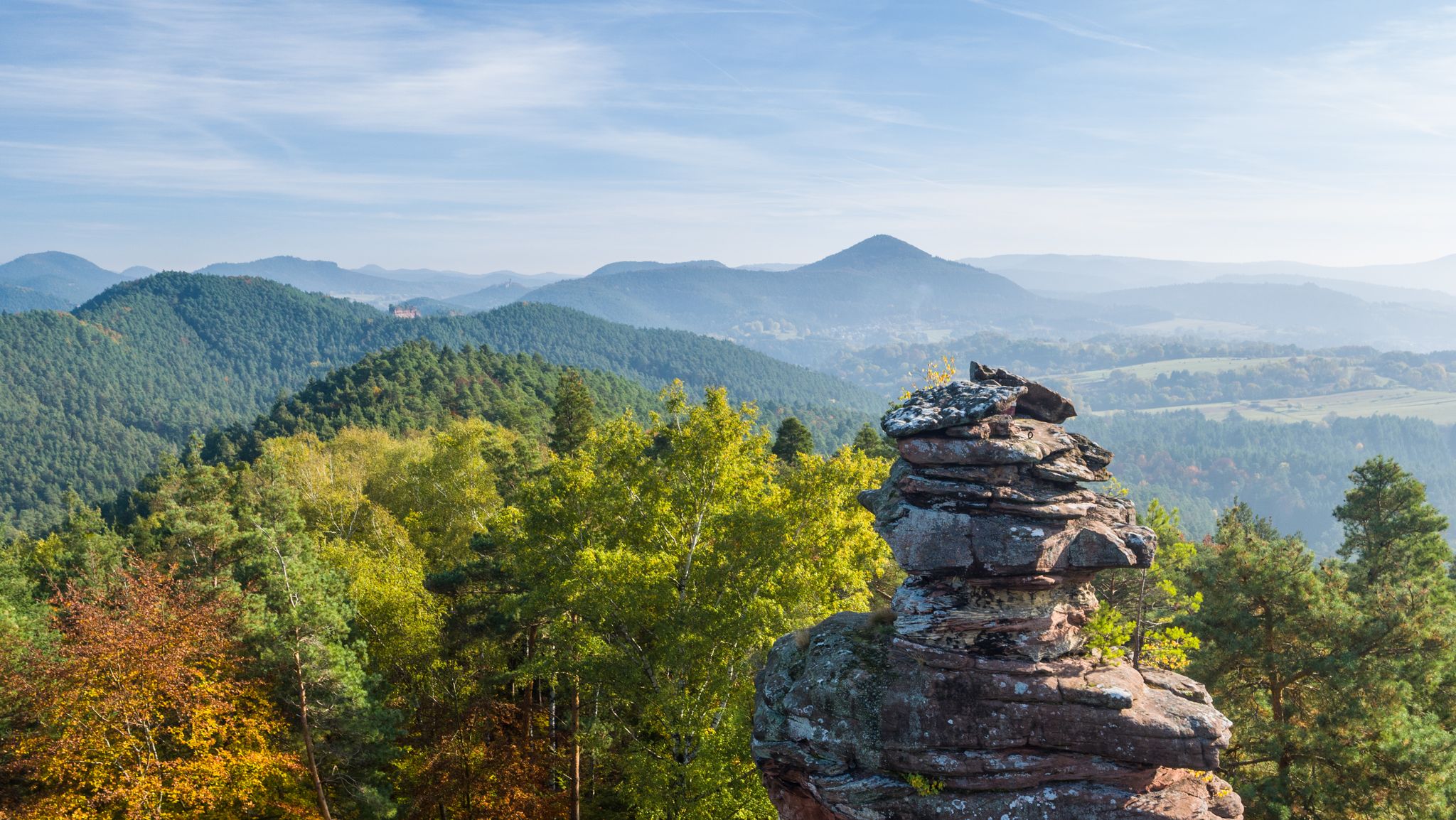
Palatinate hiking menu — day and half day hikes
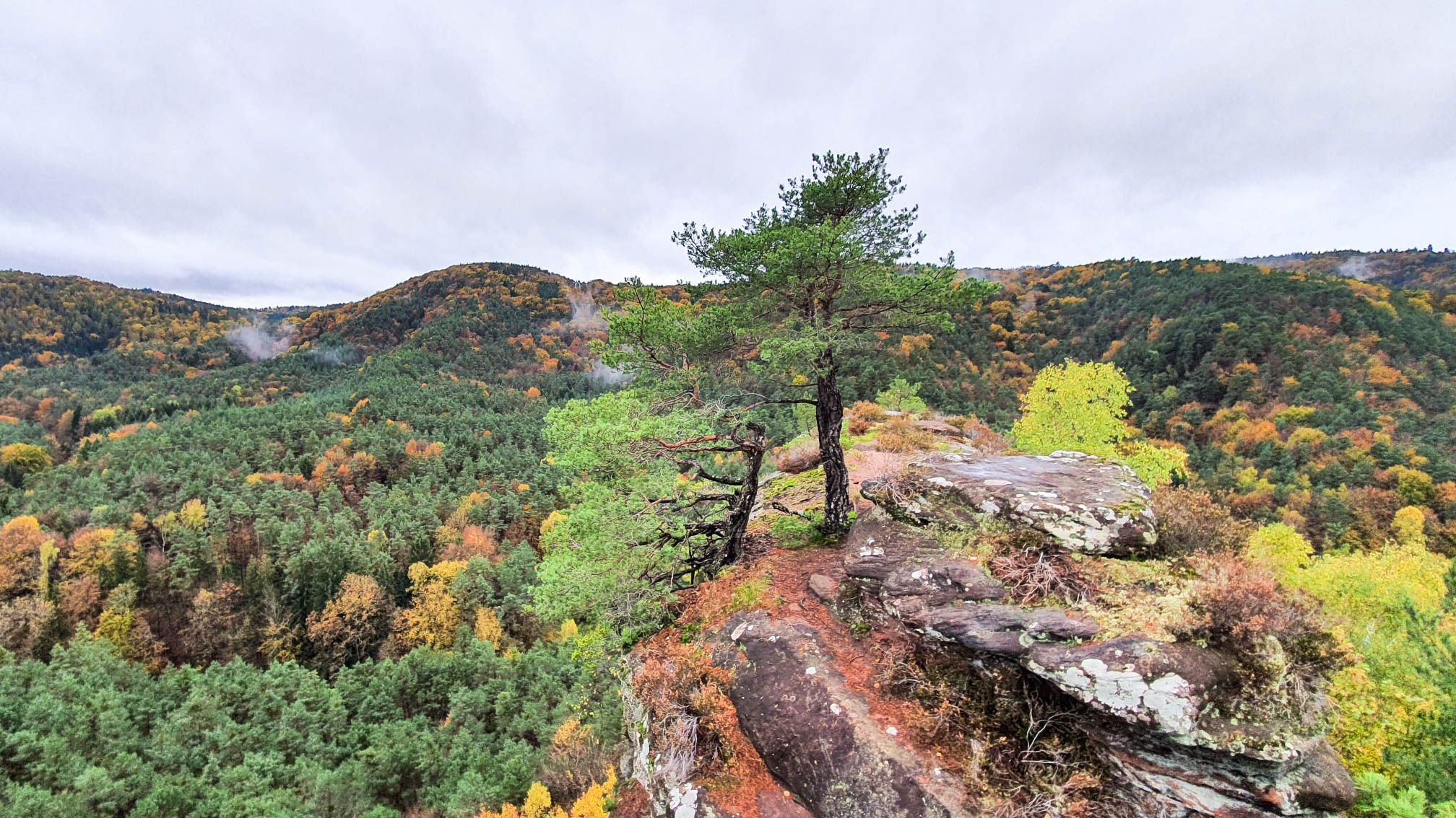
Colourful views — autumnal hikes in the Palatinate Forest
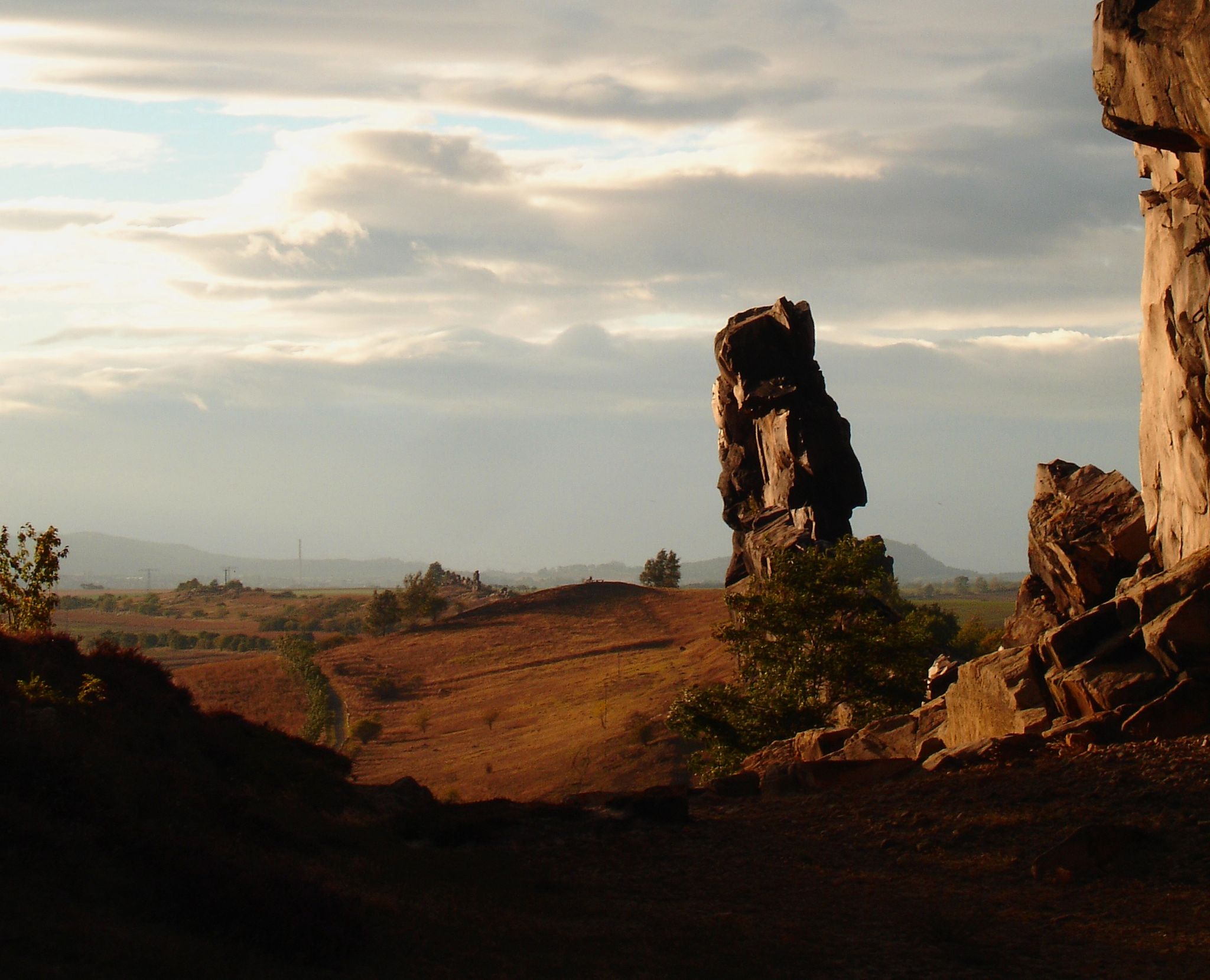
Devilish places
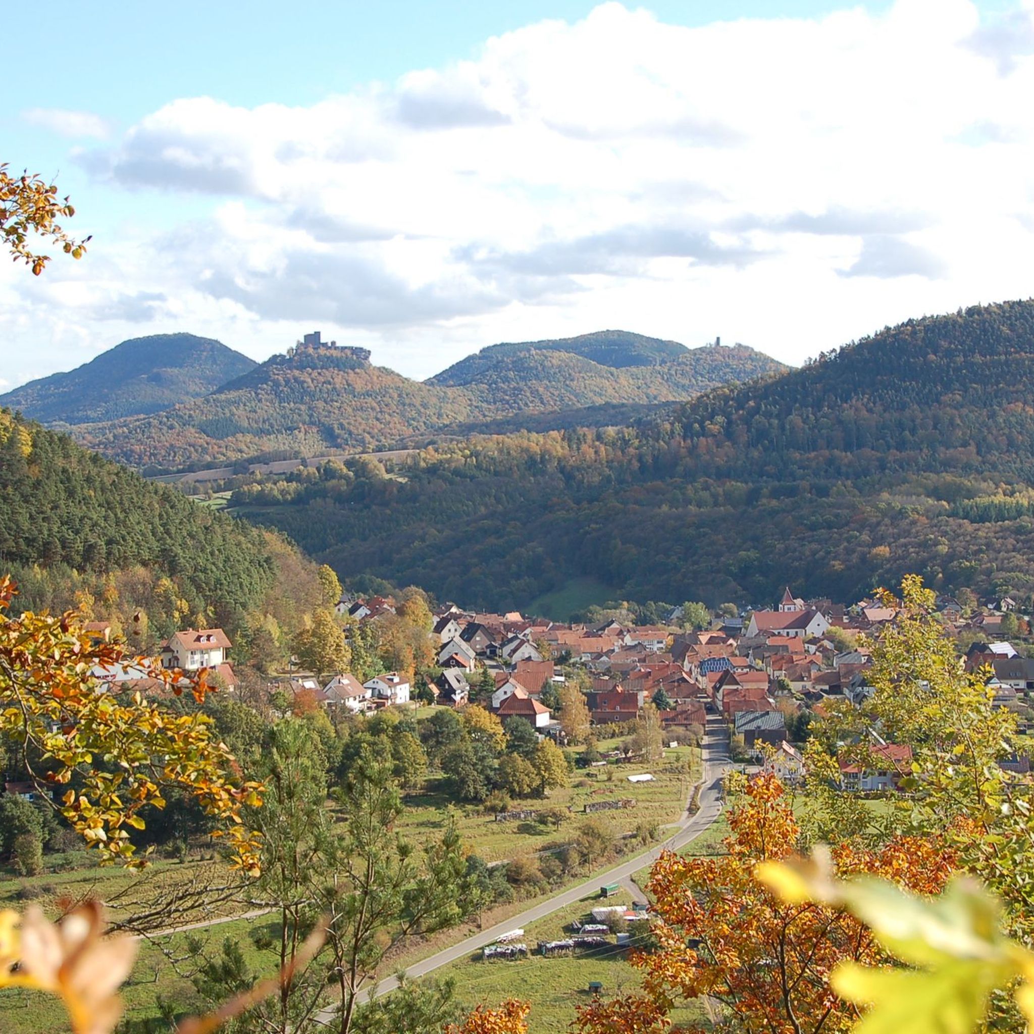
Cycling around Hinterweidenthal
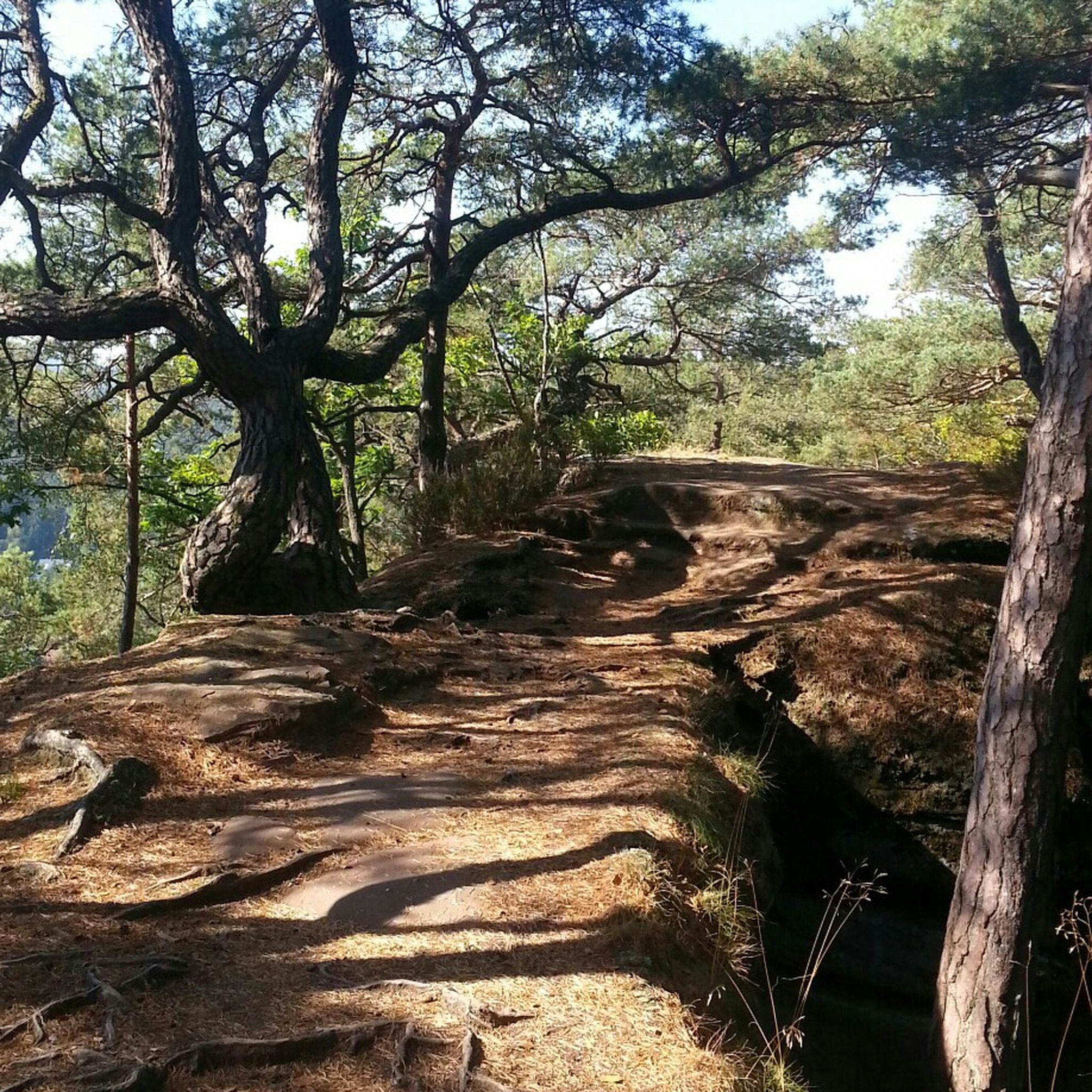
Hiking around Hinterweidenthal
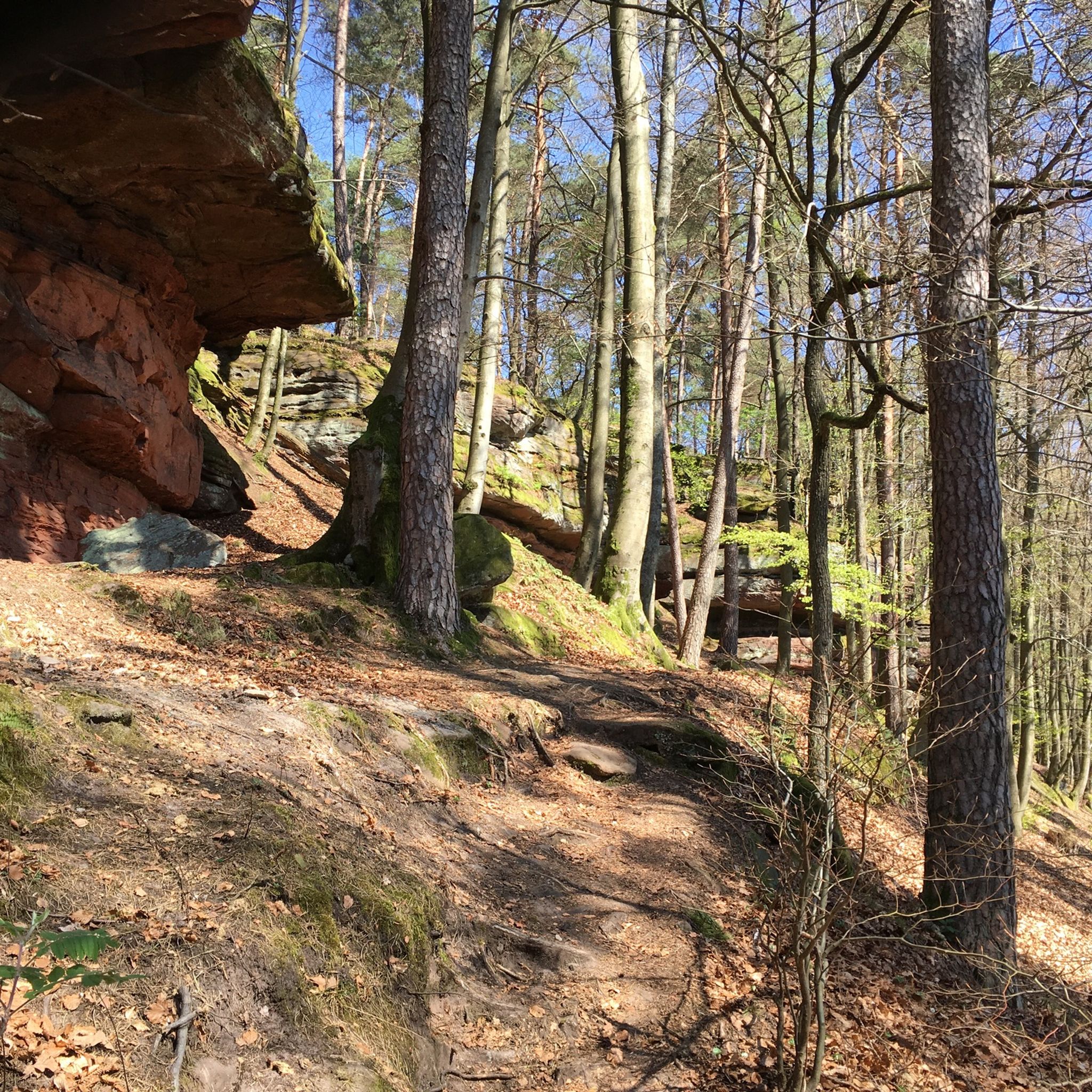
MTB Trails around Hinterweidenthal
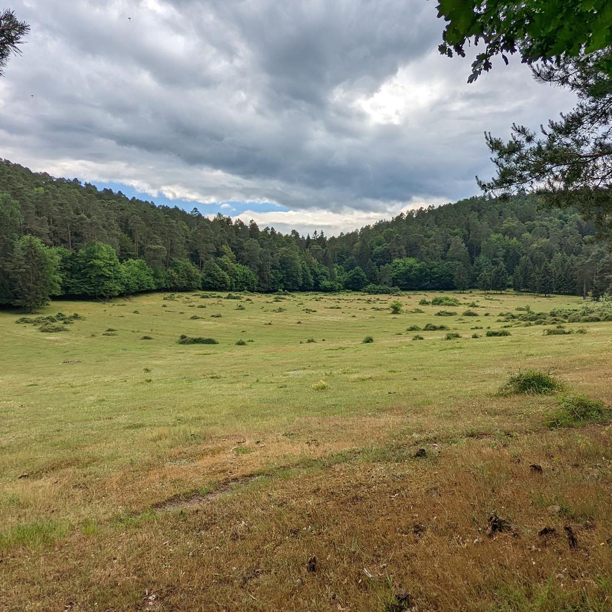
Running Trails around Hinterweidenthal

Gravel biking around Hinterweidenthal
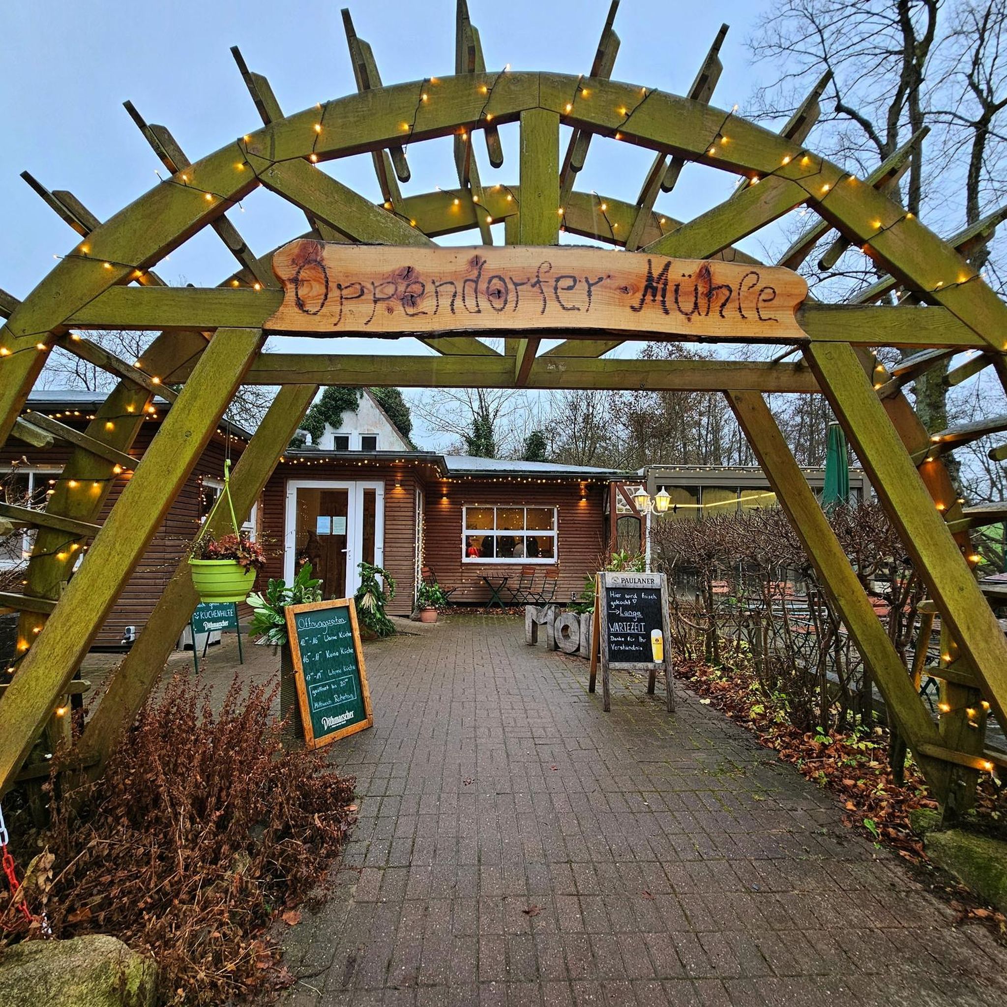
Mountain Hikes around Hinterweidenthal


Tips from the Community

Unfortunately, the Biosphärenhaus and the Baumwipfelpfad were closed indefinitely in October 2023 for safety reasons. It is uncertain whether it will ever resume operation.
0
0

Gienanth Fountain from 1842 in front of the manor house in Schönau. In 1835, Ludwig von Gienanth acquired the smelting works, which went bankrupt in 1883.
1
1

Cool rock formation in the Dahner Felsenland.
1
0


Beautiful climb and little traffic - I'll be back :)
1
0

Recommended for a pit stop
0
0
Clausensee with beer garden
0
0
... invites you to linger with a very nice beer garden
0
0
Frequently Asked Questions
How many road cycling routes are available around Hinterweidenthal?
There are over 130 road cycling routes in the Hinterweidenthal area, offering a wide range of options for different skill levels and preferences. You'll find everything from gentle rides through valleys to challenging ascents.
What kind of terrain can I expect on road cycling routes around Hinterweidenthal?
Road cycling routes around Hinterweidenthal traverse the varied landscape of the Palatinate Forest. You can expect dense woodlands, rolling hills, and picturesque valleys. The region features a mix of challenging ascents, such as the Kalmit, and more gentle paths along rivers and lakes.
Are there easy road cycling routes suitable for beginners in Hinterweidenthal?
Yes, Hinterweidenthal offers a good selection of routes suitable for beginners. There are 23 easy road cycling routes, often following more gentle paths along rivers and through valleys, providing a pleasant experience without significant climbs.
Where can I find challenging road cycling routes with significant climbs?
For challenging rides, Hinterweidenthal has 32 difficult road cycling routes. One notable option is the Totenkopfstraße – Ascent of the Kalmit loop from Hauenstein Mitte, which includes a significant ascent of the Kalmit and covers 84.8 km with over 1200 meters of elevation gain.
Are there any scenic loop routes for road cycling around Hinterweidenthal?
Many of the road cycling routes in the region are designed as loops, allowing you to start and end in the same location. For example, the Fleckenstein Pond – Lauter loop from Hinterweidenthal Ort is a scenic 84.1 km route that takes you through forested areas and past water bodies.
What do other road cyclists enjoy the most about road cycling in Hinterweidenthal?
The road cycling routes in Hinterweidenthal are highly rated by the komoot community, with an average score of 4.6 stars from over 350 reviews. Cyclists often praise the diverse terrain, the beauty of the Palatinate Forest, and the variety of routes available for all skill levels.
Are there road cycling routes that offer viewpoints or scenic overlooks?
Yes, many routes in the region provide excellent viewpoints. The Palatinate Forest is known for its rock formations and elevated sections that offer panoramic views. For instance, the Queich Wet Meadows Cycle Path – View of Trifels Castle loop from Hinterweidenthal Ort offers views of Trifels Castle.
What natural attractions can I see along the road cycling routes?
The region is rich in natural beauty. Along your rides, you might encounter impressive rock formations like the Rock Passage Near Büttelfelsen or the Narrow Rock Passage on the Dahner Felsenpfad. There are also several waterfalls, such as the Erfweiler Waterfall and the Wartenbach Waterfalls, which can be found near some routes.
Are there any routes that pass by interesting cultural or historical landmarks?
While the focus is on natural landscapes, some routes offer glimpses of historical significance. For example, the Queich Wet Meadows Cycle Path – View of Trifels Castle loop from Hinterweidenthal Ort provides views of the historic Trifels Castle. The region also features unique rock formations like the View of the Schillerfelsen – Rock Formation Near Dahn loop from Ruppertsweiler.
What is the best time of year for road cycling in Hinterweidenthal?
The spring and autumn months are generally ideal for road cycling in Hinterweidenthal. In spring, the forests burst with fresh greenery, while autumn offers stunning foliage colors. Summer can also be pleasant, especially on routes that provide shade, but be mindful of warmer temperatures.
Are there moderate road cycling routes that offer a balanced challenge?
Yes, the majority of routes in Hinterweidenthal are classified as moderate, with 76 such options. These routes provide a balanced ride through varied terrain, often including some ascents without being overly strenuous. An example is the Clausensee – Ascent to Leimen loop from Ruppertsweiler, a 47.5 km path with a balanced ascent.
Most popular routes around Hinterweidenthal
Most popular attractions around Hinterweidenthal

Get inspired with the komoot mobile app


Explore more
Browse the best Road cycling routes in other regions.
