Top 11 Natural Monuments around Sant'Angelo In Vado
Best natural monuments around Sant'Angelo In Vado are found in Italy's Marche region, characterized by the Metauro River and its surrounding mountainous terrain. The area features significant geological formations, including a notable waterfall and various mountain summits. This landscape provides opportunities for outdoor exploration and observing natural features. The region's natural monuments offer diverse environments for visitors.
Best natural monuments around Sant'Angelo In Vado
- The most popular natural monument is Sasso Simone, a natural monument that features a distinctive…
Last updated: July 11, 2026
Sasso Simone
Highlight • Natural Monument
Translated by Google •
Tip by

Monte Simoncello
Highlight • Summit
Tip by

Sign up now to discover places like this
Get recommendations on the best single tracks, peaks, & plenty of other exciting outdoor places.
Sign up for free
Mondelacasa Castle (the Muracci)
Highlight • Castle
Translated by Google •
Tip by

Windy Pastures on Monte Nerone
Highlight • Viewpoint
Translated by Google •
Tip by

Monte Nerone
Highlight • Summit
Translated by Google •
Tip by

Sign up for free to discover even more natural monuments around Sant'Angelo In Vado.
Sign up for free
Already have an account?
Start today with a free account
Your next adventure awaits.
Login or Signup
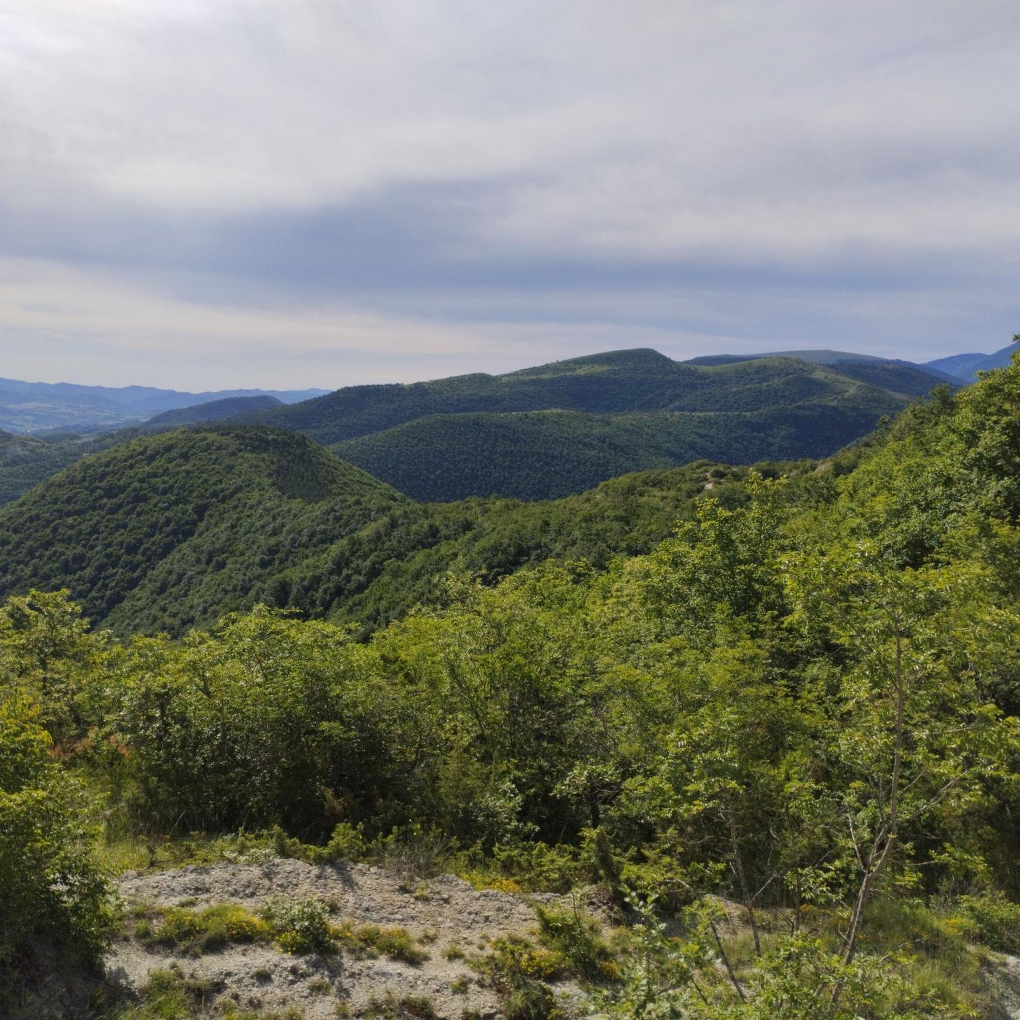
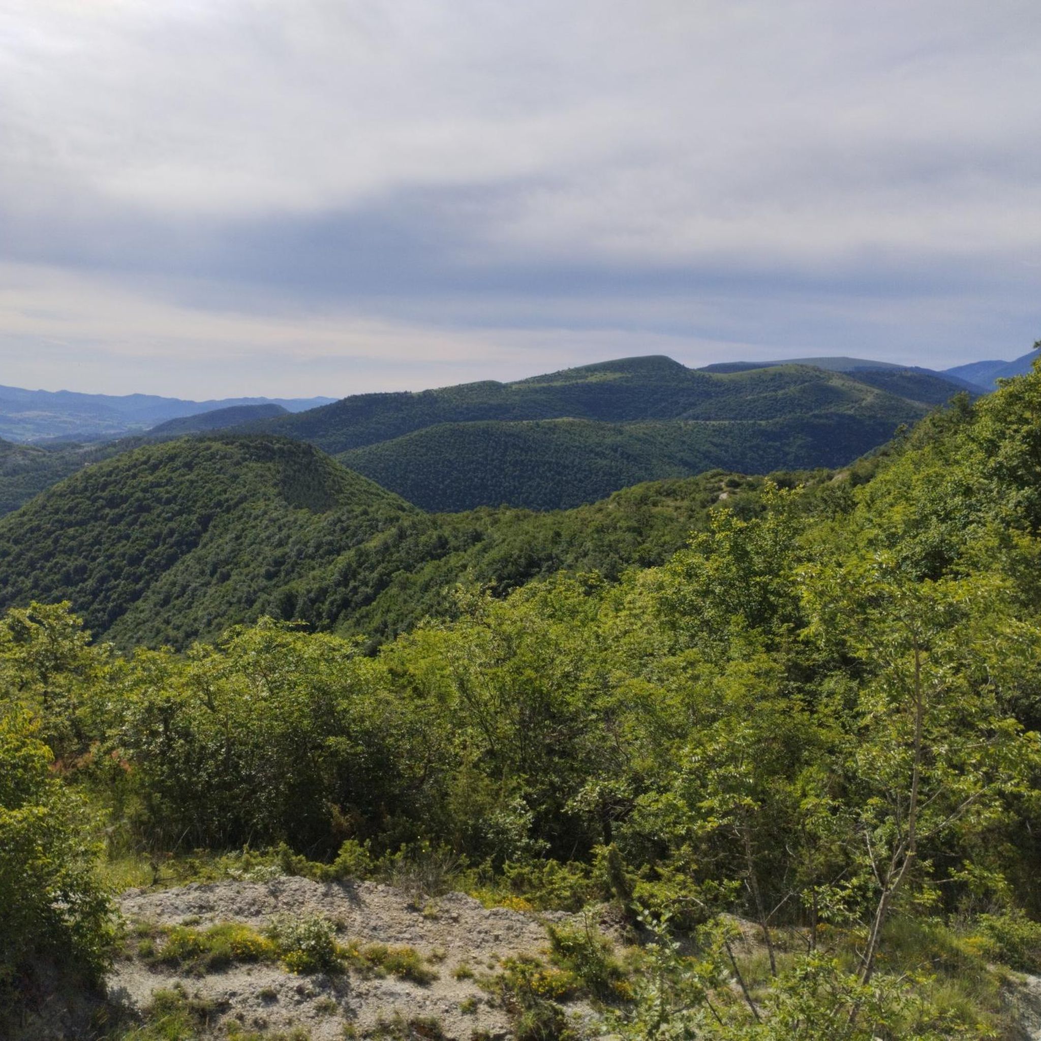
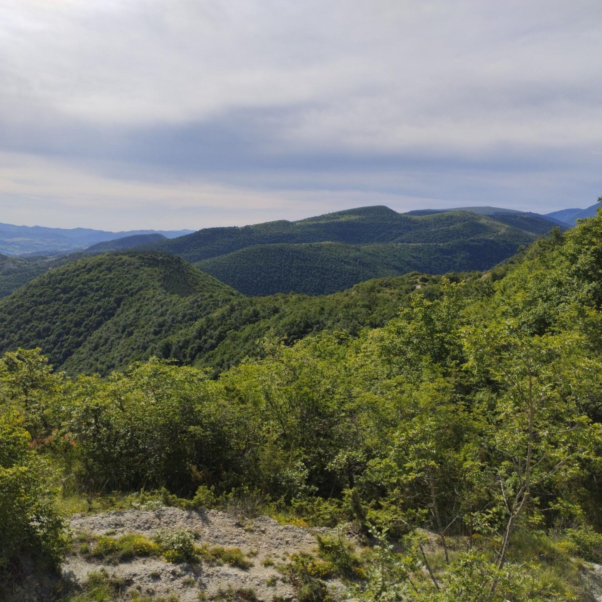
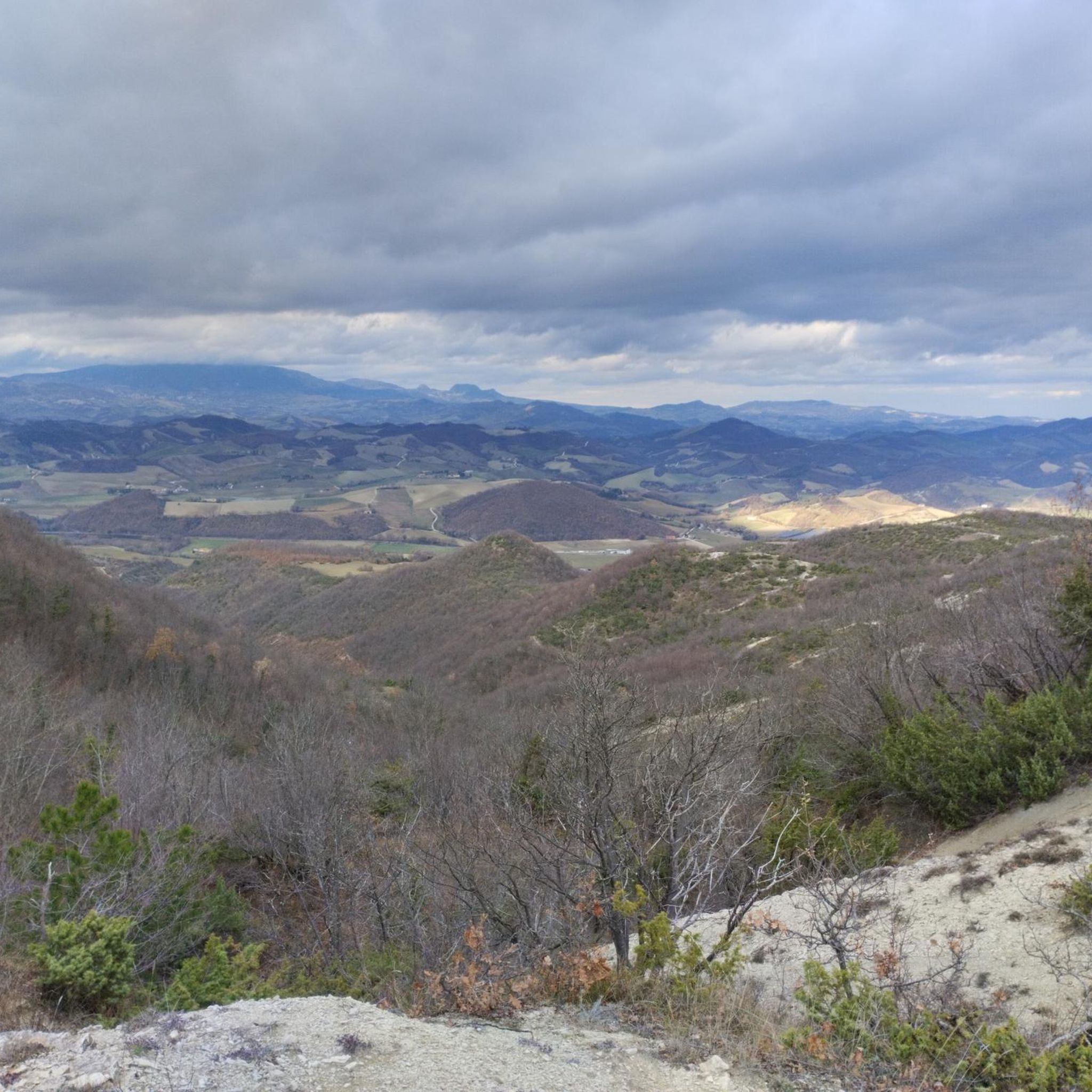

Tips from the Community

The ruins of the Mondelacasa Castle (or Monte della Casa), called the Muracci, are located on the northern slopes of Mount Nerone, on the left bank of Val d'Abisso, at 707 m above sea level, about 1 km south of the historic center of Piobbico. (from COMUNE PIOBBICO 1999): Close to Mount Nerone stands a massive buttress whose base widens between the Biscubio torrent and the Petrello stream (Fosso di S. Maria) and carries the ruins of an ancient artifact on the summit. It was a castle, a primitive dwelling that the Brancaleoni, who arrived around the year 1000 in the Biscubio District, built and lived in until the mid-1300s. This is how our Costanzo Felici (1) describes it in a document from 1582:... climbing up to Monte Nerone a mile away on a rough and terrible hill and rock, there are vestiges of a superb, large and beautiful palace or fortress now in ruins, of which those (Brancaleoni) of Piobico were the owners. Built by Gentile Brancaleoni in the first half of the 13th century, it took the name of Mons Casa or Mondelacasa, today Muracci because of the ruins visible on the summit. Towards the middle of the 14th century, both because of the harshness of the place, difficult to reach when ... winter almost buried the tower under the snow, locked it under the grip of the ice, tormented it with the blizzard, confining it for months in isolation, and because of the need for other and more comfortable comforts, the two brothers Pazzo and Federico Brancaleoni decided to settle in the house that they had begun to build "in castro Plobici", on the hill to the right of the confluence of the Biscubio with the Candigliano, where there were already small houses piled up, that is, equipped with a watchtower with a Gothic arch portal to the north and a castle to the south-east. It is the place where the Brancaleoni Castle-Palazzo will develop and take shape over time. NOTE: (1) Costanzo Felici was born in the second decade of the 16th century in Casteldurante (now Urbania). However, he preferred to define himself as a native of Piobbico, where his ancestors had moved around 1330. He practiced medicine in Piobbico, Sant'Angelo in Vado, Pesaro, Rimini and Urbania. At the same time, he cultivated naturalistic and historical studies with notable results. He died in Pesaro on February 5, 1585. taken from: https://www.lavalledelmetauro.it/contenuti/beni-storici-artistici/scheda/11123.html
0
0


Place to see, ancient fortress commissioned by Cosimo I of which little or nothing remains
0
0

June 24, 2023: from the end of the pastures, the road leading down to the valley is closed. The views up there are breathtaking, but the trek is not trivial. There are various exposed points where I got scared. I saw that the path that would have led down to the valley was also a narrow road with a precipice on the left. It's not for everyone, go on if you're self-confident of your abilities. I underestimated him and in the end I found myself crawling back in places. But I'm quite scared of heights so if you're more adventurous than me go!
0
0

The path from Passo Cantoniera to Sasso Simone is not always accessible, as part of the path is located inside the Military Range of Carpegna. On some days, access is prohibited (on days when fire drills are in progress). The current calendar can be consulted here: parcosimone.it/accessibilita-al-poligono-di-carpegna
2
0
The path from Passo Cantoniera to Sasso Simone is not always accessible, as part of the path is located inside the Military Range of Carpegna. On some days, access is prohibited (on days when fire drills are in progress). The current calendar can be consulted here: http://www.parcosimone.it/accessibilita-al-poligono-di-carpegna/
1
0

There are steel cables that aid the steep ascent, which requires good mobility, and there are some exposed sections, albeit short, that are not negligible. Simoncello is an important mountain in the Apennines, located on the border between Emilia-Romagna (municipality of Pennabilli, in the province of Rimini), Tuscany (municipality of Sestino, in the province of Arezzo), and the Marche (municipality of Carpegna, in the province of Pesaro-Urbino). The summit of the mountain falls entirely within the province of Pesaro and Urbino[1]; it is also entirely included in the Sasso Simone and Simoncello regional natural park. Although the name is a diminutive of the nearby Sasso Simone, Simoncello is actually higher; in fact, it reaches 1,221 meters[2] in altitude compared to Sasso Simone's 1,204. Mount Simoncello forms a middle link in the mountain range that separates the valleys of the Marecchia (to the northwest) and Foglia (to the southeast) rivers. This range continues southward with the Sasso Simone and, further north, also includes Mount Carpegna (1,415 m). Many streams, tributaries of both the Marecchia and Foglia rivers, originate on the slopes of Mount Simoncello. (Wikipedia)
0
0

Mountain of the Umbria-Marche Apennines of 1525m in height. The origin of the name has two hypotheses, the first, more suggestive, is the one that wants the origin of the name linked to the Roman consul Claudius Nero who would have gathered his legions here before the famous Battle of Metauro (year 207 BC) in which defeated the Carthaginians. A more likely hypothesis links the name of this mountain to the discovery of a statuette of the god Mars, which occurred during the construction works of the RAI broadcasting center on the summit.
0
0
Frequently Asked Questions
What are the most prominent natural features to explore around Sant'Angelo In Vado?
The region is characterized by the Metauro River and its dramatic Cascata del Sasso, also known as Balza del Metauro. This striking waterfall is considered a significant natural wonder, formed by unique geological layers. The Metauro River itself offers opportunities for relaxation and outdoor activities, flowing through a valley with diverse riparian forests.
Are there any notable mountain summits or viewpoints in the area?
Yes, you can explore Monte Nerone, a summit reaching 1525 meters in the Umbria-Marche Apennines. Another significant peak is Monte Simoncello, which, despite its name, is actually higher than Sasso Simone at 1221 meters and is part of the Sasso Simone and Simoncello regional natural park. For breathtaking vistas, visit Windy Pastures on Monte Nerone, known for its panoramic views, especially during spring and autumn.
What unique geological formations can be found near Sant'Angelo In Vado?
The Cascata del Sasso (Balza del Metauro) is a prime example, formed by a unique geological configuration of inclined limestone and marly layers over which the Metauro River flows. Additionally, Sasso Simone is a distinctive rock formation with historical ruins, offering insight into the region's geological and historical past.
What kind of outdoor activities can I do near these natural monuments?
The area around Sant'Angelo In Vado offers a variety of outdoor activities. You can find numerous routes for road cycling, gravel biking, and running. For example, there are challenging road cycling loops like the Viamaggio Pass, gravel biking routes through forests, and running trails of varying difficulties. You can explore these options further in the Road Cycling Routes around Sant'Angelo In Vado, Gravel biking around Sant'Angelo In Vado, and Running Trails around Sant'Angelo In Vado guides.
Are there any historical sites associated with the natural monuments?
Yes, Sasso Simone features historical ruins, including remnants of the Medici's Città del Sole. Additionally, the ruins of Mondelacasa Castle (the Muracci) are located on the northern slopes of Monte Nerone, offering a glimpse into the region's medieval past from a panoramic position.
What is the best time to visit the natural monuments around Sant'Angelo In Vado?
The warmer months are ideal for enjoying the Metauro River for walks and peaceful moments, and even swimming. For scenic views at Windy Pastures on Monte Nerone, spring and autumn are particularly recommended for their green landscapes and perennial wind.
Is there a picnic area available near the Cascata del Sasso?
Yes, near the Cascata del Sasso, there is an equipped picnic area. It offers a relaxing spot to enjoy the natural surroundings, complete with tables, benches, and barbecue facilities.
Are there any challenging trails for experienced hikers?
Some areas, such as the descent from Windy Pastures on Monte Nerone, are described as very difficult and involve a long, heavy slope. The ascent to Monte Simoncello also involves some exposure and requires good mobility, with steel cables aiding the steep sections.
Are there any specific access considerations for Sasso Simone?
Access to parts of the path from Passo Cantoniera to Sasso Simone may be restricted. This is because a section of the path is located inside the Military Range of Carpegna, and access is prohibited on days when fire drills are in progress. It's advisable to check the current calendar for accessibility.
What kind of wildlife or flora can I expect to see along the Metauro River?
The riparian forest along the Metauro River features a narrow border of various willow species, including white willow, basket willow, red willow, and river willow, as well as black poplar. This diverse vegetation supports local wildlife, making it a pleasant area for nature observation.
What are the general characteristics of the terrain around Sant'Angelo In Vado?
The terrain around Sant'Angelo In Vado is diverse, featuring mountain summits, river valleys, and unique geological formations. The Metauro River flows through a valley with sedimentary deposits upstream, which narrows as it approaches Mercatello, cutting into the rocks of the Marnoso-Arenacea Formation. This creates a varied landscape suitable for different outdoor experiences.
Most popular routes around Sant'Angelo In Vado
Most popular attractions around Sant'Angelo In Vado

Get inspired with the komoot mobile app


Explore more
Extend your search for the best caves by checking out these guides of the top ones around Sant'Angelo In Vado:
