The best walks and hikes around Langenorla
4.7
(3562)
12,476
hikers
27
hikes
Hiking around Langenorla offers diverse landscapes characterized by green hills and picturesque valleys within Germany's Saale-Orla district. The region features the Thuringian Slate Mountains/Upper Saale Nature Park, known for its rock formations and rich flora. Trails often follow the River Loquitz, providing scenic views. This area provides varied terrain for outdoor exploration.
Best hiking trails around Langenorla
- The most popular hiking route is Rittergut Positz – Fourteen Oaks loop from Langendembach, a 9.2 miles (14.8 km) trail that takes…
Last updated: May 14, 2026
4.8
(4)
15
hikers
14.8km
04:04
250m
250m
Moderate hike. Good fitness required. Easily-accessible paths. Suitable for all skill levels.
4.3
(3)
12
hikers
8.24km
02:20
170m
170m
Moderate hike. Good fitness required. Easily-accessible paths. Suitable for all skill levels.

Sign up for free
4.8
(5)
8
hikers
9.95km
02:39
100m
100m
Moderate hike. Good fitness required. Easily-accessible paths. Suitable for all skill levels.
5.0
(3)
8
hikers
15.6km
04:14
220m
220m
Moderate hike. Good fitness required. Easily-accessible paths. Suitable for all skill levels.
5.0
(1)
6
hikers
6.33km
01:43
90m
90m
Easy hike. Great for any fitness level. Easily-accessible paths. Suitable for all skill levels.
Get access to more routes and recommendations from other explorers.
Sign up for free
Already have an account?
Our route recommendations are based on thousands of hikes, rides, and runs completed by other people on komoot.
Start today with a free account
Your next adventure awaits.
Login or Signup
Tips from the Community

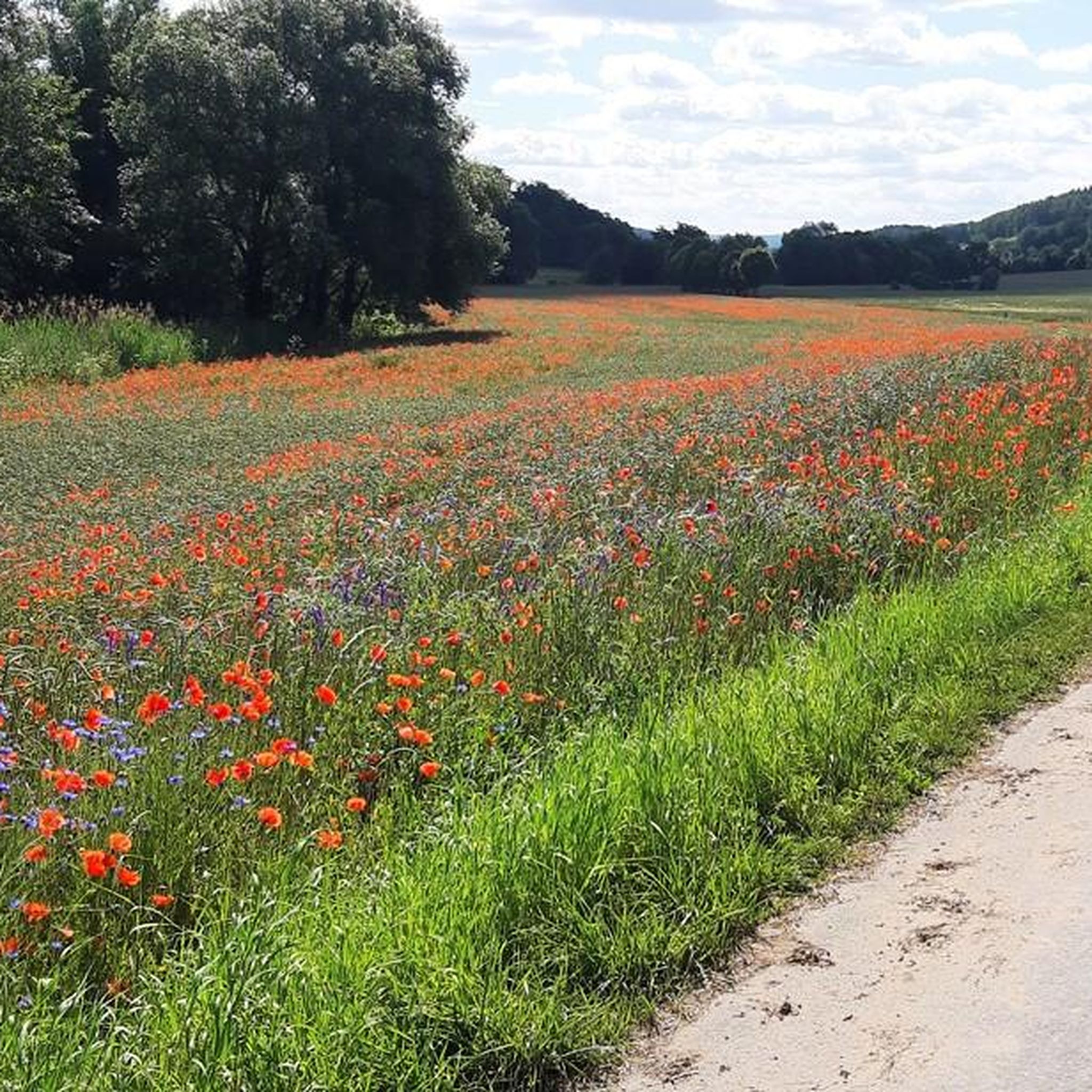
right next to a free parking lot 😉
0
0
nice free parking space between the sports field and the playground
0
0

Unfortunately the view was not so good today
0
0

Curious place in the middle of the forest that serves as a rescue point and rest area.
1
0

"As early as 1320, the place southeast of Hummelshain was referred to as "Welke" in a Naumburg document. The name Welkerode can be traced back to a clearing that was created in the Welke. The part of the name Welke in turn probably comes from the Slavic word for wolf. The The town itself was plundered and destroyed several times during the Thirty Years' War. The residents - men, women and children all died of the plague. Only the priest remained alive and went to Lichtenau. For many years no one had set foot on this place of horror, as an old document reports. In 1828 there were still large remains of the church, which were demolished in 1840. The buried bell of the church was dug up again by wild boars and still tolls today in the tower of the Schmöllner Church." (Source: http://www.hummelshain-schmoelln.de/schichtes-gehenswerts/wuestungen/welkeroda)
0
0

The old manor is a little hidden behind hills, not far from the Orla cycle path. Good gastro. From there you quickly disappear into the forest along the old mountain path and find yourself in Hummelshain.
0
0

The Iron Hand is located in the Vordere Heide on the edge of the northern foothills of the Orla Depression, which ends in Freienorla. The Iron Hand is a hiking point with no branch-off, more precisely on the Hohe Straße from Ratsberg to Freienorla. Langenorla is at the foot of the eastern slope. To the north lies Freienorla and Orlamünde, to the south the Ratsberg, to the north Langenorla and to the west the Hüttner Grund and Hütten. There is actually not much to see here. Only a bench invites you to linger. The rescue point has very poor cell reception. Source: https://www.christianhildebrand.de/hil/ausflugwanderer/eisernehand/eisernehand.htm
1
0

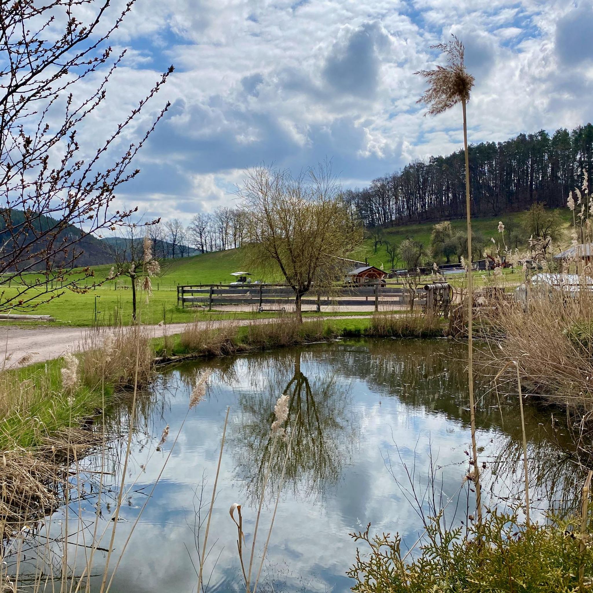
we were hoping to get a coffee or ice cream here on our tour. A sign "for house guests only" hangs directly at the entrance. Countless tables and chairs, all empty Too bad.. because the atmosphere was really inviting
1
0
Frequently Asked Questions
How many hiking trails are available around Langenorla?
There are over 25 hiking routes in the Langenorla area, offering a diverse range of experiences. These trails cater to various fitness levels, from easy strolls to more challenging treks through the region's varied landscapes.
What are the different difficulty levels for hiking in Langenorla?
The hiking trails around Langenorla are categorized into three difficulty levels: easy, moderate, and difficult. You'll find 8 easy routes, 17 moderate routes, and 2 more challenging options, ensuring there's something for every hiker.
When is the best time of year to go hiking in Langenorla?
Langenorla offers beautiful hiking experiences throughout the year. Spring is ideal for witnessing blossoming flowers and plants, while autumn transforms the deciduous forests into a vibrant palette of colors. Summer provides lush green landscapes, and even winter can offer serene, snow-covered trails.
Are there any family-friendly hiking options in Langenorla?
Yes, Langenorla is well-suited for families. The region offers shorter, exciting paths like the 'Children's Adventure Trail' for playful exploration, and the 'Tierpark-Wanderweg' (animal park hiking trail) for observing various animal species. Many of the easy and moderate routes are also suitable for families.
Can I find circular hiking routes in the Langenorla area?
Absolutely. Many of the hiking trails around Langenorla are circular, allowing you to start and end your journey at the same point. For example, the Noßbach Dam loop from Langenorla Ost is an easy circular route, and the Eiserne Hand – Lochgrundhütte loop from Langenorla Ost offers a moderate circular experience.
What kind of natural features can I expect to see on the trails?
The region is rich in natural beauty. You'll encounter green hills, picturesque valleys, and trails along the scenic River Loquitz. The Thuringian Slate Mountains/Upper Saale Nature Park features impressive rock formations and is home to diverse flora and fauna. Some trails also lead past water features like those found on the View of Pößneck – Water Lily Ponds loop from Langenorla Ost.
Are there any historical landmarks or attractions along the hiking routes?
While hiking, you might encounter glimpses of historic buildings like Ranis Castle and Blankenberg Castle along the Loquitz River trails. The broader area also features significant historical attractions such as Leuchtenburg and Barockschloss Brandenstein. You can also explore natural monuments like the Groom's Cliff or the Lenzborn Spring.
What do other hikers enjoy most about hiking in Langenorla?
The hiking experience in Langenorla is highly rated by the komoot community, with an average score of 4.6 stars from over 1300 reviews. Hikers often praise the diverse landscapes, the well-maintained trails, and the peaceful atmosphere of the green hills and picturesque valleys.
Are there any caves to explore near Langenorla?
Yes, the area around Langenorla features several interesting caves. Notable examples include the Ilsen Cave, Hertha Cave, and Bildermollen Cave. These offer unique natural sights for those looking to explore beyond the open trails.
Is it possible to reach hiking trails in Langenorla using public transport?
Langenorla is accessible by public transport, and some trailheads are located conveniently near stops. It's advisable to check local bus or train schedules to plan your journey to specific starting points, such as Langenorla Ost or Langendembach, which are common starting points for many routes.
Are there options for longer, more extensive hikes?
Yes, for those seeking longer treks, Langenorla lies directly on the Rennsteig hiking trail, one of Germany's most renowned long-distance paths. This offers extensive trekking options through the Thuringian Forest and Franconian Forest, providing opportunities for multi-day adventures or longer day hikes.
What kind of terrain can I expect on the trails?
The terrain around Langenorla is quite varied. You'll find paths winding through green hills and picturesque valleys, alongside the River Loquitz, and through forested areas. The Thuringian Slate Mountains contribute to some impressive rock formations and more undulating landscapes, offering a good mix of surfaces.
Most popular routes around Langenorla
Most popular attractions around Langenorla

Get inspired with the komoot mobile app


Explore more
Browse the best Hikes in other regions.
