Top 16 Mountain Passes around Pianello Del Lario
Best mountain passes around Pianello Del Lario are situated in the mountainous regions surrounding this lakeside village on Lake Como. The area features an alpine setting backed by the Swiss Alps, providing various routes for outdoor activities. These passes offer access to diverse terrain and historically significant pathways.
Best mountain passes around Pianello Del Lario
- The most popular mountain passes is Val Rezzo Climb, a challenging climb and mountain pass. This route features a narrow ascent with a constant…
Last updated: June 28, 2026
Rifugio Giovo
Highlight • Mountain Hut
Here you can leave …
Translated by Google •
Tip by

Val Rezzo Climb
Highlight • Climb
Translated by Google •
Tip by

Sign up now to discover places like this
Get recommendations on the best single tracks, peaks, & plenty of other exciting outdoor places.
Sign up for free
Passo di Agueglio
Highlight (Segment) • Mountain Pass
Translated by Google •
Tip by

La Forcoletta (1,611 m)
Highlight • Mountain Pass
Translated by Google •
Tip by

Chapel of the Guardian Angels
Highlight • Religious Site
Translated by Google •
Tip by

Sign up for free to discover even more mountain passes around Pianello Del Lario.
Sign up for free
Already have an account?
Start today with a free account
Your next adventure awaits.
Login or Signup
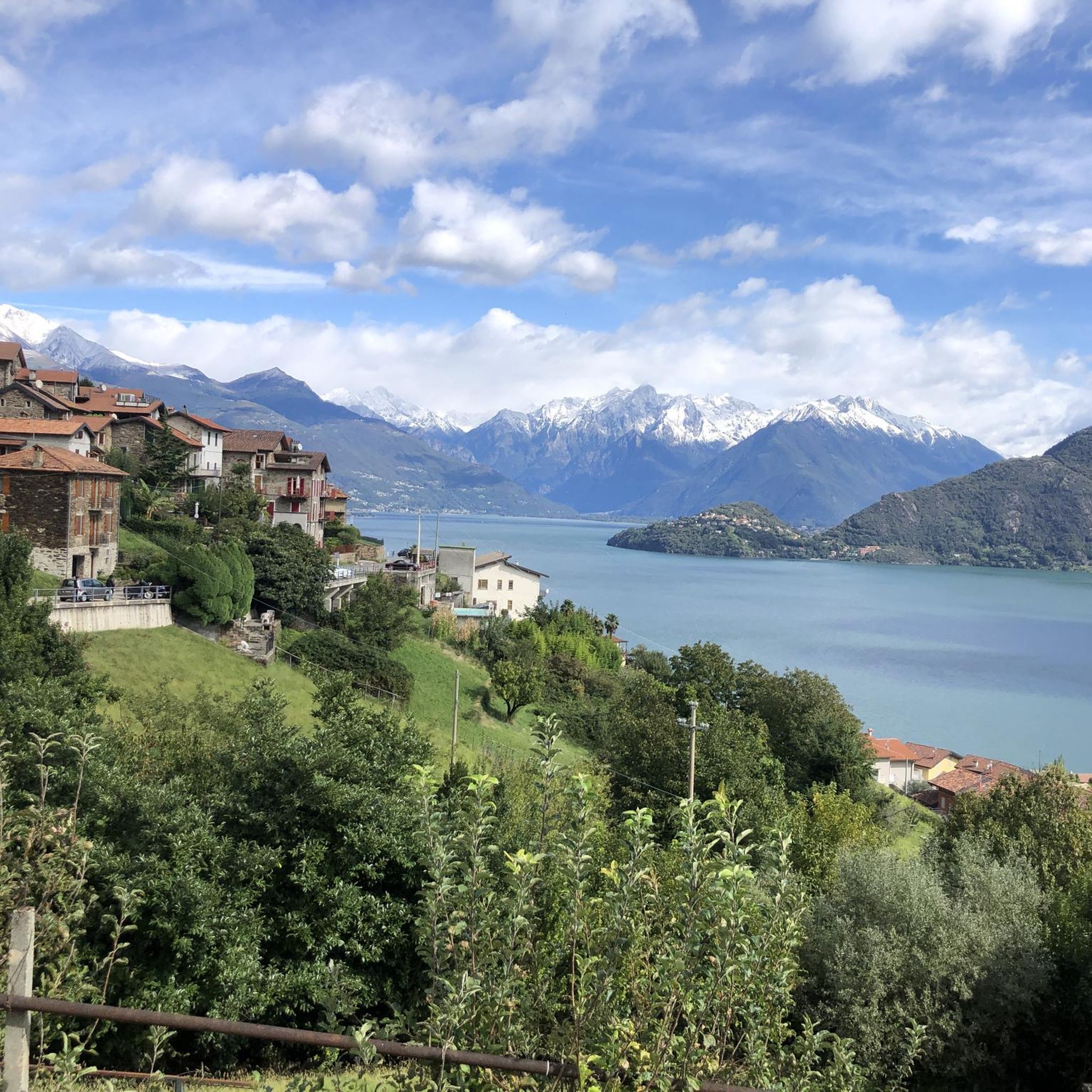
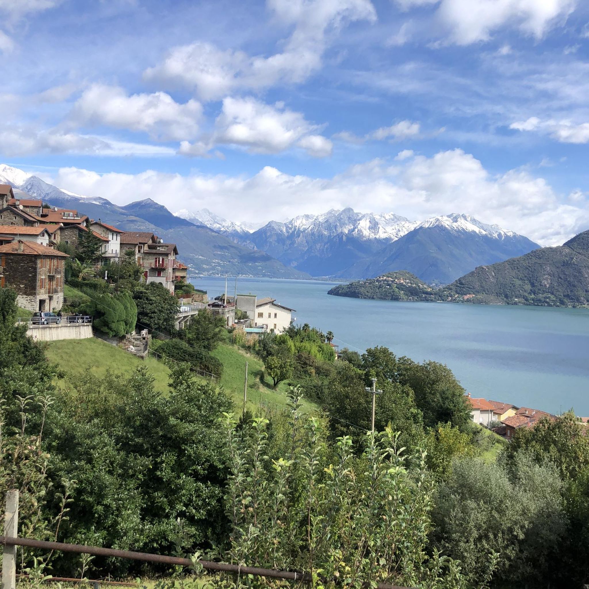
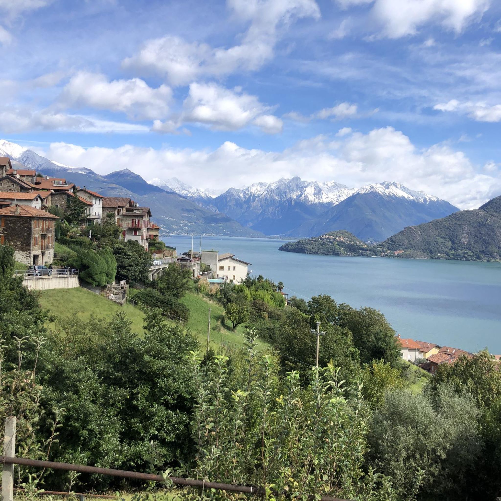
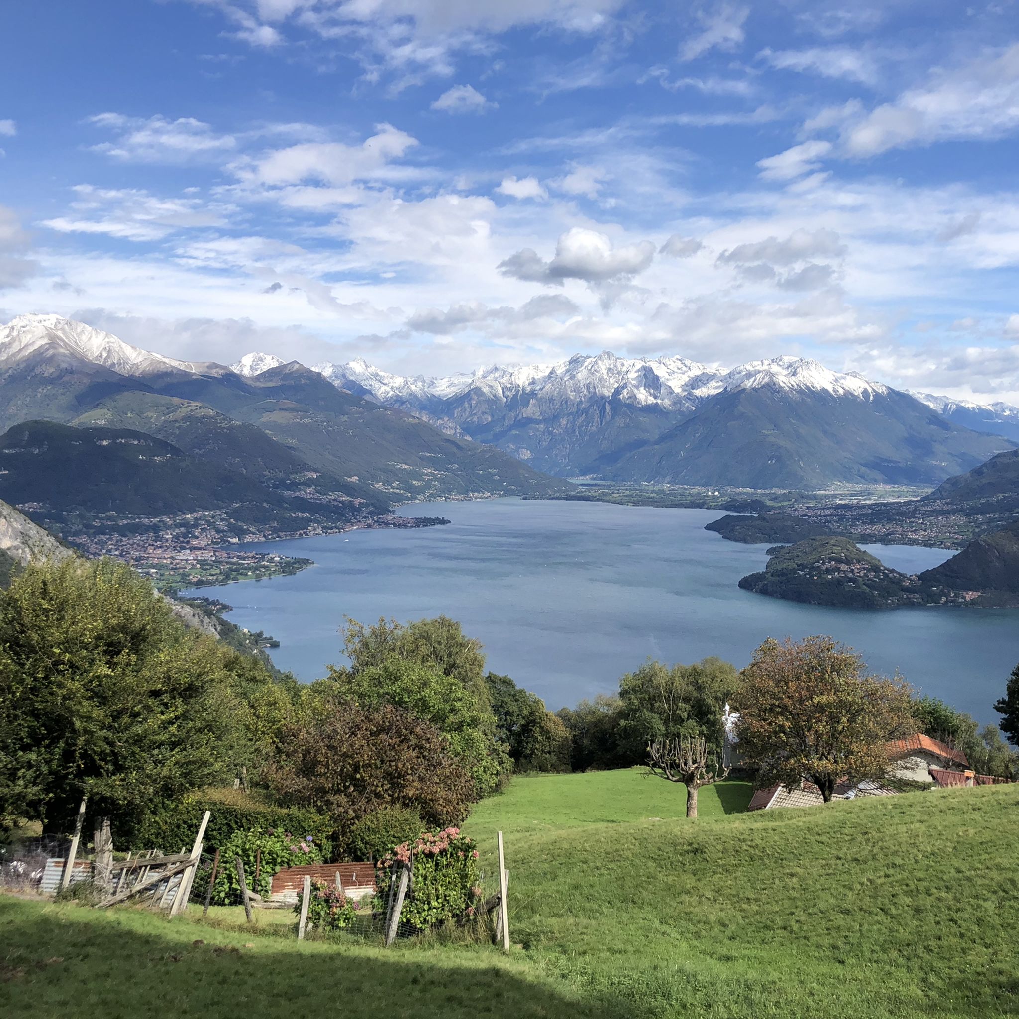


Tips from the Community

The final climb to the top of the pass in Buggiolo, over 4 serpentines, has a gradient of more than 20% - you have to pedal hard again here, but there aren't many meters of altitude left to overcome.
0
0

The climb to the Passo di Agueglio starts from Varenna on Lake Como. It is about 17 kilometers long with 1000 meters of elevation gain, follows a road that is sometimes narrow and passes through the town of Esino Lario. It has some ramps in double figures but in general it is a rideable climb that offers beautiful views of the Lario.
0
0

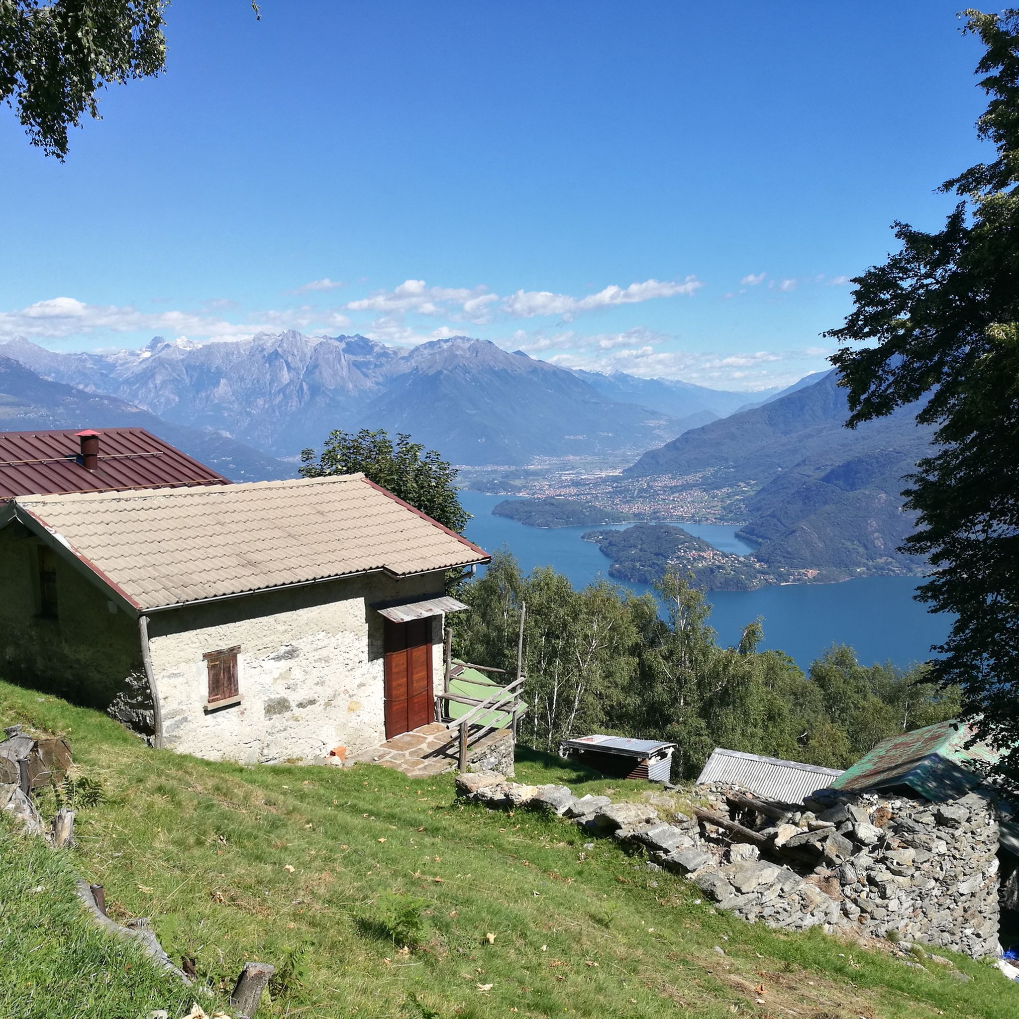
The Giovo Refuge is closed and unattended, in order to stay there you must ask for the keys in advance at the Sant'Anna restaurant in Germasino. Here you can leave the car to go up to Passo San Jorio or to continue on other paths. The road that gets here is not the best, as a large part of it is dirt, but with the right attention it is not a big problem.
0
0

Branching point for the various destinations of the itineraries that start from the Menaggio refuge. Once you reach the forcola you can continue along the ridge towards Mount Grona, or always reach Bregagno along the coast. Continuing on the opposite side you reach some mountain pastures in the upper Sanagra valley
1
0


The descent from Val Rezzo is a lot of fun, but not entirely easy due to the tight curves. But for me 100% an absolute highlight on the tour...
1
0

Wild climb towards the small and isolated town of Val Rezzo. The climb is narrow and with a constant gradient of around 8/9%. Continuing towards the Passo della Cava towards the Val Cavargna you will face hairpin bends with widely double-digit slopes.
1
0

During the ascent to the S. Lucio refuge, an excellent place to rest with a view of the valley from a small balcony
0
0
Frequently Asked Questions
What are some historically significant mountain passes near Pianello del Lario?
The region boasts several passes with rich history. Passo San Jorio is particularly notable, having served as an important trade route during the Middle Ages, connecting Italy with Switzerland. You can still find a small church dedicated to San Jorio near the pass. Additionally, the Via dei Monti Lariani, a long-distance trail, follows ancient mule tracks and parts of the Cadorna Line, a WWI defensive fortification.
Which mountain passes offer the best panoramic views of Lake Como and the Alps?
For breathtaking vistas, Passo San Jorio provides impressive panoramic views of the Bellinzona plain, Lake Maggiore on the Swiss side, and the peaks of the Valtellina region. Another excellent spot is La Forcoletta (1,611 m), which offers spectacular views during the ascent and serves as a branching point for various itineraries. The ascent to Monte Legnone, including traversing Porta del Merli, also promises expansive views of the entire Alpine arc and Lake Como.
Are there challenging mountain passes for experienced hikers or cyclists?
Yes, for those seeking a challenge, the ascent to Monte Legnone, which includes traversing Porta del Merli (2129m), is a rewarding experience. It features exposed and rocky sections equipped with fixed ropes. For cyclists, the Val Rezzo Climb is a challenging route with a constant gradient of around 8-9%, leading to the isolated town of Val Rezzo. The descent from Val Rezzo is also described as fun but not entirely easy due to tight curves.
What kind of outdoor activities can I do near the mountain passes around Pianello del Lario?
The mountainous areas around Pianello del Lario are perfect for various outdoor activities. You can find numerous hiking trails, including long-distance routes like the Via dei Monti Lariani. There are also challenging running trails and gravel biking routes. For more specific options, explore the hiking trails, running trails, and gravel biking routes available in the area.
Are there any mountain huts or refuges near the passes for rest or overnight stays?
Yes, near Passo San Jorio, you'll find the Rifugio San Jorio, a mountain hut that offers overnight stays and refreshments. Additionally, Rifugio Giovo, located at 1800 meters, serves as a prelude to the San Jorio Pass and offers a high mountain landscape. While the Giovo Refuge is currently closed and unattended, keys can be requested in advance from the Sant'Anna restaurant in Germasino.
What is the accessibility like for reaching these mountain passes?
Accessibility varies by pass. Passo San Jorio can be reached via hiking trails, with common starting points including Passo del Giovo or a longer hike from Brenzeglio near Dongo. The ascent from Giovo Pass is considered relatively easy. For Porta del Merli on Monte Legnone, the normal route usually starts from Rifugio Roccoli Lorla, which is accessible by car from the Alto Lario area, passing through towns like Dervio and Tremenico.
Can I find any historical military fortifications or remnants near the mountain passes?
Yes, the region has historical military significance. The Via dei Monti Lariani trail incorporates parts of the Cadorna Line, a defensive fortification built during World War I. You can also find remains of WWI trenches along the ridge during the ascent to Monte Legnone, which includes traversing Porta del Merli.
What do visitors enjoy most about the mountain passes around Pianello del Lario?
Visitors frequently highlight the stunning panoramic views, the sense of immersion in nature, and the historical significance of the routes. The opportunity to experience diverse landscapes, from lakeside villages to high alpine settings, is also a major draw. The komoot community has contributed 78 photos and given 118 upvotes to the mountain passes in the area, indicating strong appreciation for their beauty and recreational value.
Are there any less-known or 'hidden gem' mountain passes worth exploring?
While not extensively detailed in general search results, passes like Passo del Columbano and Cava Pass are noted as points of interest for cycling and hiking in the wider area around Pianello del Lario. These might offer a quieter experience away from more frequented routes. The Cava Pass, for instance, is known for its steep climb and offers a unique perspective of the Val Cavargna and Val Rezzo valleys.
What is the best time of year to visit the mountain passes near Pianello del Lario?
The best time to visit the mountain passes is generally during the warmer months, from late spring to early autumn (May to October), when the trails are clear of snow and the weather is most favorable for hiking and cycling. During this period, you can fully enjoy the natural beauty and outdoor activities without the challenges of winter conditions.
Are there any mountain passes suitable for beginners or those looking for an intermediate challenge?
For an intermediate challenge, the climb to Passo di Agueglio from Varenna on Lake Como is about 17 kilometers long with 1000 meters of elevation gain. It offers beautiful views of the Lario and is generally considered a rideable climb. The ascent to Passo San Jorio from Giovo Pass is also described as relatively easy, making it a good option for those looking for a less strenuous hike with rewarding views.
Most popular routes around Pianello Del Lario
Most popular attractions around Pianello Del Lario

Get inspired with the komoot mobile app


Explore more
See even more epic mountain passes by checking out these guides around Pianello Del Lario:
