Top 9 Natural Monuments around Forte Dei Marmi
Best natural monuments around Forte Dei Marmi include a diverse range of natural features. Forte Dei Marmi is situated near the Ligurian Sea, offering extensive sandy beaches. Inland, the region transitions to the wild beauty of the Apuan Alps, characterized by rugged mountains and deep valleys. This area provides a contrast between coastal environments and mountainous landscapes.
Best natural monuments around Forte Dei Marmi
- The most popular natural monuments is Pozza della Madonna Waterfall, a waterfall that is fed…
Last updated: September 4, 2026
Pozza della Madonna Waterfall
Highlight • Waterfall
Translated by Google •
Tip by

Lago di Porta Nature Reserve
Highlight • Lake
Translated by Google •
Tip by

Sign up now to discover places like this
Get recommendations on the best single tracks, peaks, & plenty of other exciting outdoor places.
Sign up for free
Monte delle Tavole
Highlight • Summit
Translated by Google •
Tip by

Pozzo della Madonna (Serra Stream)
Highlight • River
Translated by Google •
Tip by
Orto Botanico delle Alpi Apuane Pian della Fioba
Highlight • Natural Monument
Translated by Google •
Tip by

Sign up for free to discover even more natural monuments around Forte Dei Marmi.
Sign up for free
Already have an account?
Start today with a free account
Your next adventure awaits.
Login or Signup

Tips from the Community

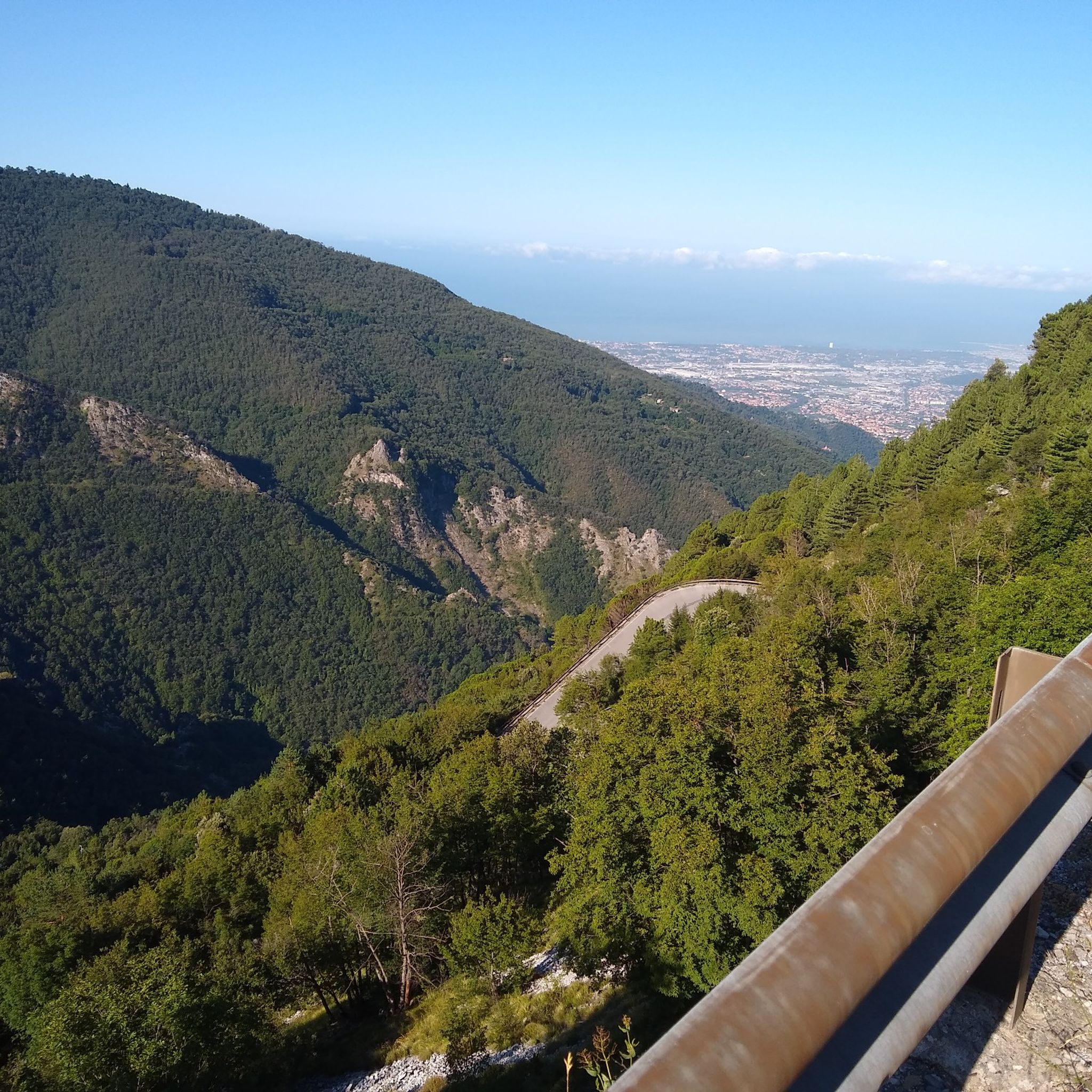
A nice ride along an iconic road of the Apuan Alps, climb about 19km long, requires a bit of training.
0
0

Just a few kilometers from the coast, the mountains rise, some of them over 1000 meters high. It is also fun to cycle down the serpentines to Massa.
2
0

located in a secluded area and not overcrowded. The first half hour along the road is a bit arduous, but then you get into the countryside.
0
0

Some are located just outside Seravezza (at the beginning of the ZTL) and are easy to reach, others are located at the end of more demanding paths in the woods. The most famous is the Pozza della Madonna and is the one fed by the waterfall carved into the rock. It is called Pozza della Madonna and can be reached by a path along the river that starts from Seravezza and leads to the Malbacco pools in about 20 minutes. Park the car before the start of the blocked road and the Ztl, the paths that will lead you along the river banks begin. There are five routes, to reach the waterfall and the pool of the Madonna which is located higher up, it is necessary to take the descent number 4.
1
1

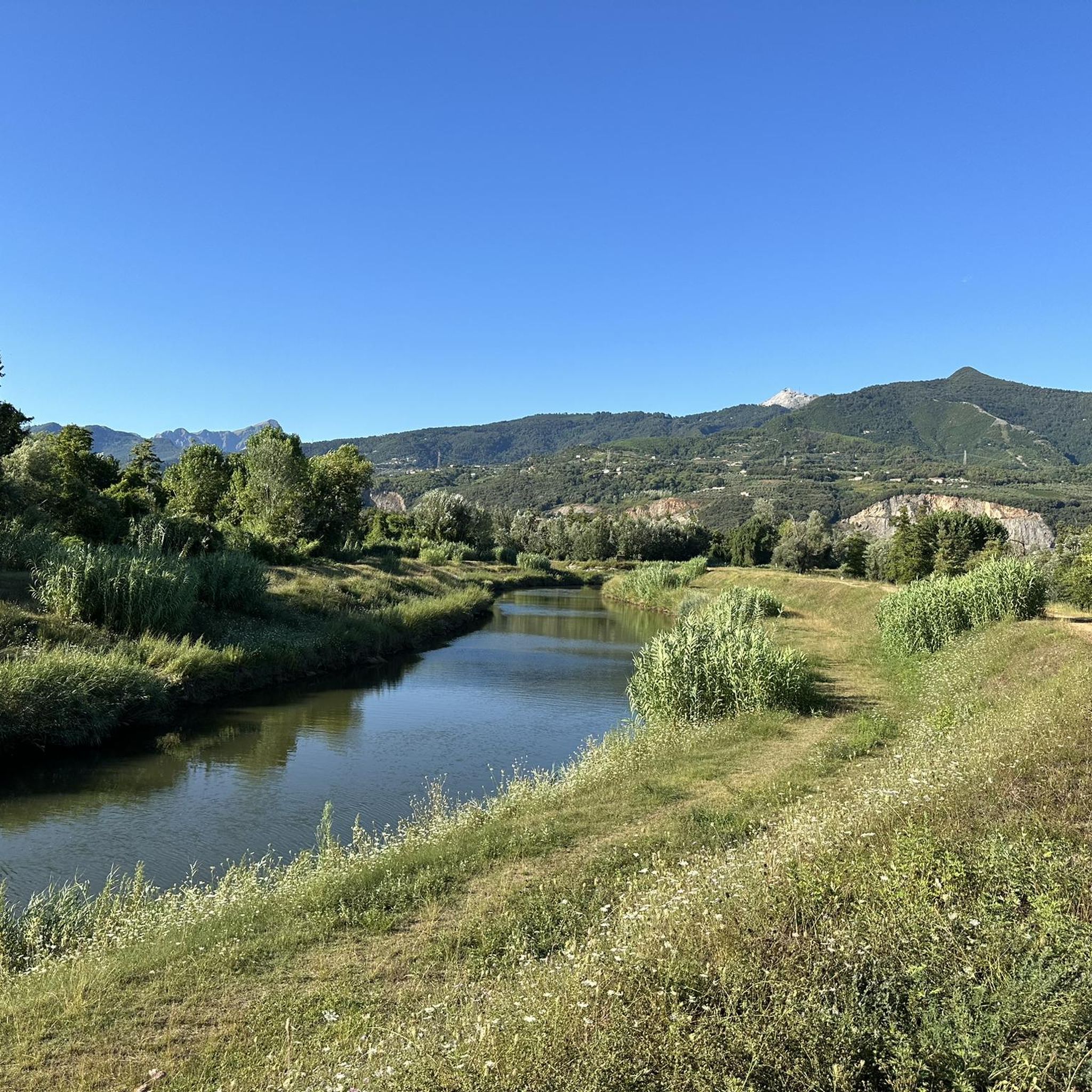
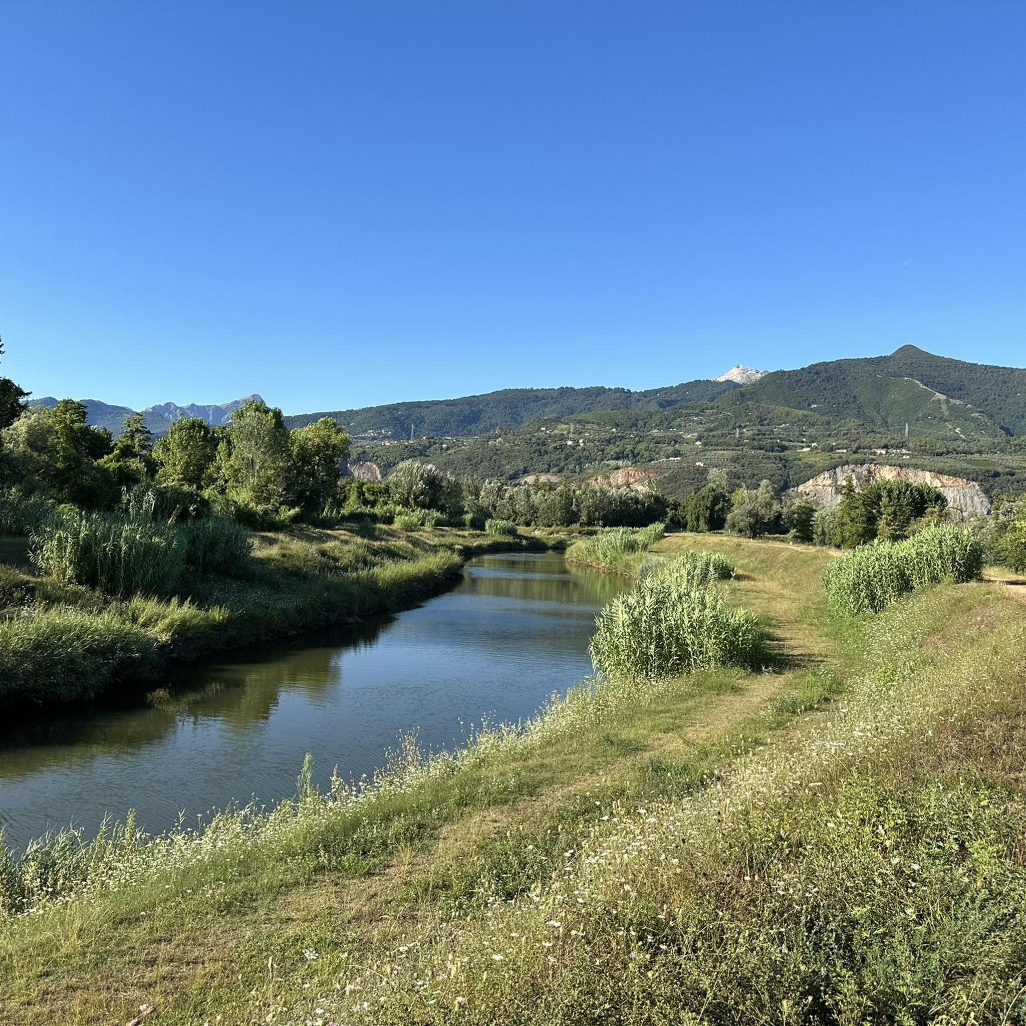
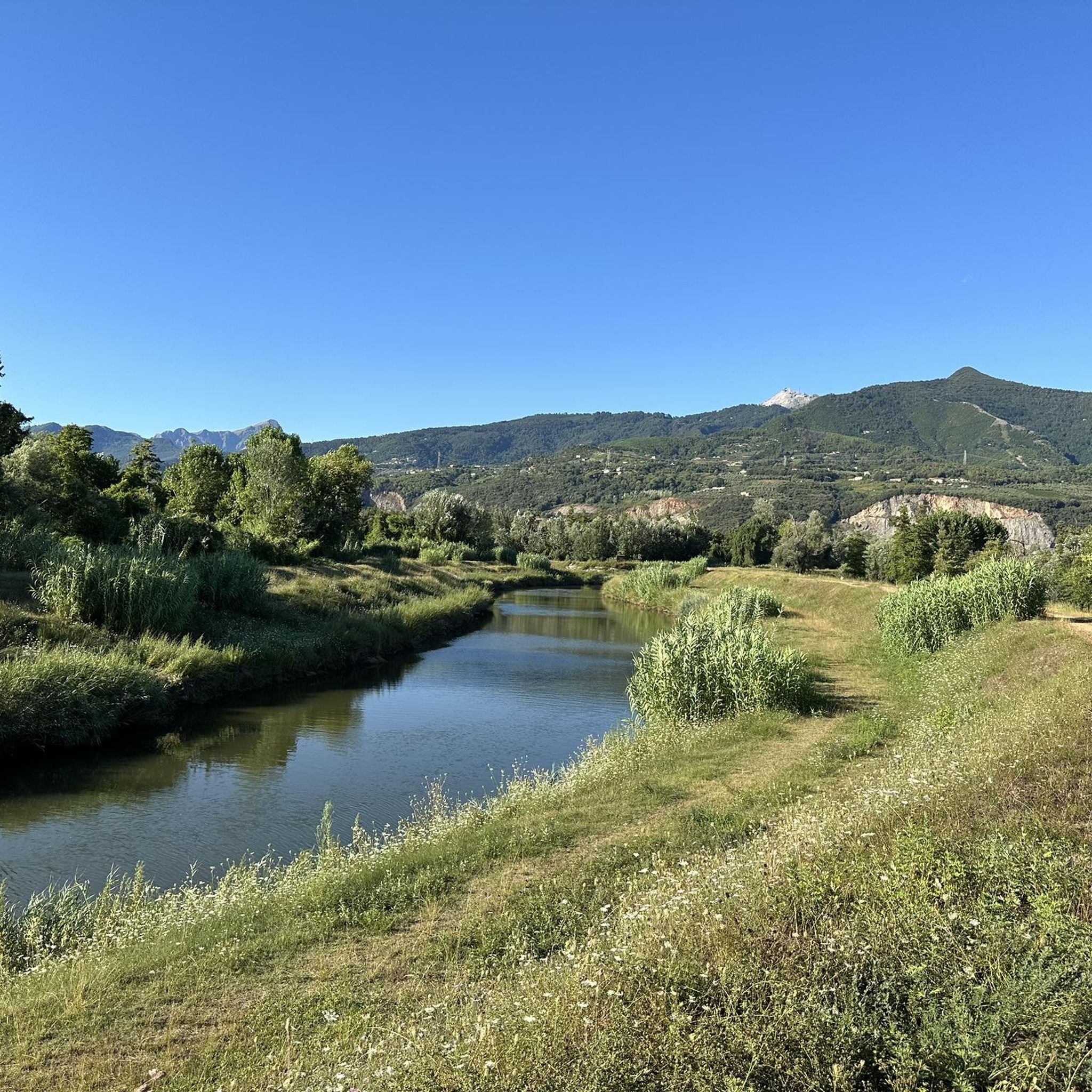
Originally an area of ponds and marshes rich in fish, a canal to the sea was dug in the 15C and the site was drained for farming until the 17C. That never worked out right. Eventually the area was reclaimed. Outside it is now dry and should be used for housing, the swampy terrain inside the dyke is a nature reserve and inhabited by waterfowl. There is an unpaved path on the dyke, which is worth walking. The path along the canal to the Mediterranean Sea is also beautiful. https://it.wikipedia.org/wiki/Lago_di_Porta
3
0

Monte delle Tavole is located at the extremity of the south-east ridge of Monte Altissimo, of which it represents the main antecima. It takes its name from an ancient cartographic transcription error, being located at the top of a large steep area, facing south-east, called "le Ravole"; uncertain instead are other attributions, probably ancient, of local use and now in disuse, which refer to the flared shape of its summit hollow (see Vasajone, Vaso Tondo etc.) which also distinguish the entire relief and formations surrounding geologicals. Due to its privileged position, Monte delle Tavole is the ideal destination for hikers who then want to reach the top of the Altissimo or the historic quarries that damage its central pillar, including the famous Tacca Bianca quarry. The summit can be reached with a certain ease along the east side with a path coming from the south, or along the NE ridge starting from M. dei Ronchi.
0
0
Narrow path between brambles and mixed forest that leads from the paved municipal road of Riomagno (prohibited for motor vehicles) to one of the most beautiful natural pools of the Serra stream, which is locally known as Pozzo della Madonna.
1
1
Frequently Asked Questions
What unique natural features can I explore near Forte dei Marmi?
The area around Forte dei Marmi offers a diverse range of natural features. You can discover the impressive underground environment of Antro del Corchia, one of the largest cave systems in the world, or witness the natural arch of Monte Forato in the Apuan Alps. For a different experience, visit the tranquil Pozza della Madonna Waterfall, accessible via a path along the river from Seravezza.
Are there any family-friendly natural attractions in the Forte dei Marmi area?
Yes, several natural attractions are suitable for families. The Lago di Porta Nature Reserve offers an unpaved path along its dyke, perfect for a leisurely walk to observe waterfowl. Additionally, Versiliana Park, with its ancient forest and diverse trees, provides an ideal setting for strolls and cycling, and is home to various bird species.
What kind of hiking trails are available near Forte dei Marmi's natural monuments?
The Apuan Alps Regional Park, close to Forte dei Marmi, offers a range of hiking opportunities, from challenging trails to scenic viewpoints. For example, you can hike to Monte delle Tavole, which provides a privileged position for reaching Monte Altissimo or its historic quarries. For more general hiking inspiration, you can explore various routes in the region, including those found in the MTB Trails around Forte Dei Marmi guide, which also features paths suitable for walking.
What is the best time of year to visit the natural monuments around Forte dei Marmi?
The best time to visit depends on the activity. For enjoying the Orto Botanico delle Alpi Apuane Pian della Fioba and other mountain areas, spring and autumn offer pleasant temperatures for hiking. The summer months are ideal for enjoying the Forte dei Marmi beaches and coastal activities, though mountain excursions are also possible, often providing a cooler escape from the heat.
Are there any natural monuments with historical significance near Forte dei Marmi?
Yes, the Fontanaviva Spring is a natural monument with a rich history, mentioned in ancient works as far back as 1361. It historically marked the ancient border between the municipalities of Santa Lucia and Camaiore. The Apuan Alps themselves are also historically significant for their valuable Carrara marble, extracted since ancient Roman times.
Can I find good viewpoints among the natural monuments near Forte dei Marmi?
Absolutely. The Apuan Alps offer dramatic peaks with incredible sea views. Orto Botanico delle Alpi Apuane Pian della Fioba, located where mountains rise over 1000 meters, provides a scenic ride and panoramic vistas. Additionally, Monte delle Tavole is known for its privileged position, offering excellent views.
What kind of wildlife can be spotted in the natural areas around Forte dei Marmi?
The region is rich in biodiversity. Versiliana Park is home to various bird species like common moorhens, grey wagtails, kingfishers, and coots, and its waterways host turtles. The Apuan Alps Regional Park boasts a diverse flora and fauna, including rare botanical species and wildlife such as wolves, golden eagles, and the chough, which is the park's symbol. The Lago di Porta Nature Reserve is also inhabited by waterfowl.
Are there cycling routes that pass by or near these natural monuments?
Yes, the region offers various cycling opportunities. Versiliana Park has numerous bicycle paths, making it ideal for leisurely rides. For more adventurous cyclists, the Cycling around Forte Dei Marmi guide and the Gravel biking around Forte Dei Marmi guide feature routes that explore the diverse landscapes, including areas near the Apuan Alps and coastal paths.
What are the Forte dei Marmi beaches like, and are they considered natural monuments?
Forte dei Marmi is renowned for its extensive, wide sandy beaches with fine golden sand overlooking the Ligurian Sea. While often lined with beach clubs, the natural expanse of the golden sand and the sea, combined with the distant backdrop of the Apuan Alps, creates a unique and appealing natural environment. The pier, though man-made, extends into this natural setting and is popular for sunset views.
How accessible are the natural monuments from Forte dei Marmi by public transport?
While Forte dei Marmi itself is well-connected, reaching some of the more remote natural monuments, especially within the Apuan Alps, often requires a car. However, areas like Versiliana Park are more easily accessible. For specific public transport options to individual sites, it's advisable to check local bus schedules or consider guided tours that include transportation.
Are there any natural botanical gardens or unique plant life to see?
Yes, the Orto Botanico delle Alpi Apuane Pian della Fioba is a botanical garden located just a few kilometers from the coast, showcasing the unique flora of the Apuan Alps. Versiliana Park also features a diverse range of ancient trees, including holm oaks, pines, and various other species, making it a rich environment for plant enthusiasts.
Most popular routes around Forte Dei Marmi
Most popular attractions around Forte Dei Marmi

Get inspired with the komoot mobile app


Explore more
Extend your search for the best caves by checking out these guides of the top ones around Forte Dei Marmi:
