Top 20 Natural Monuments around Savignano Sul Panaro
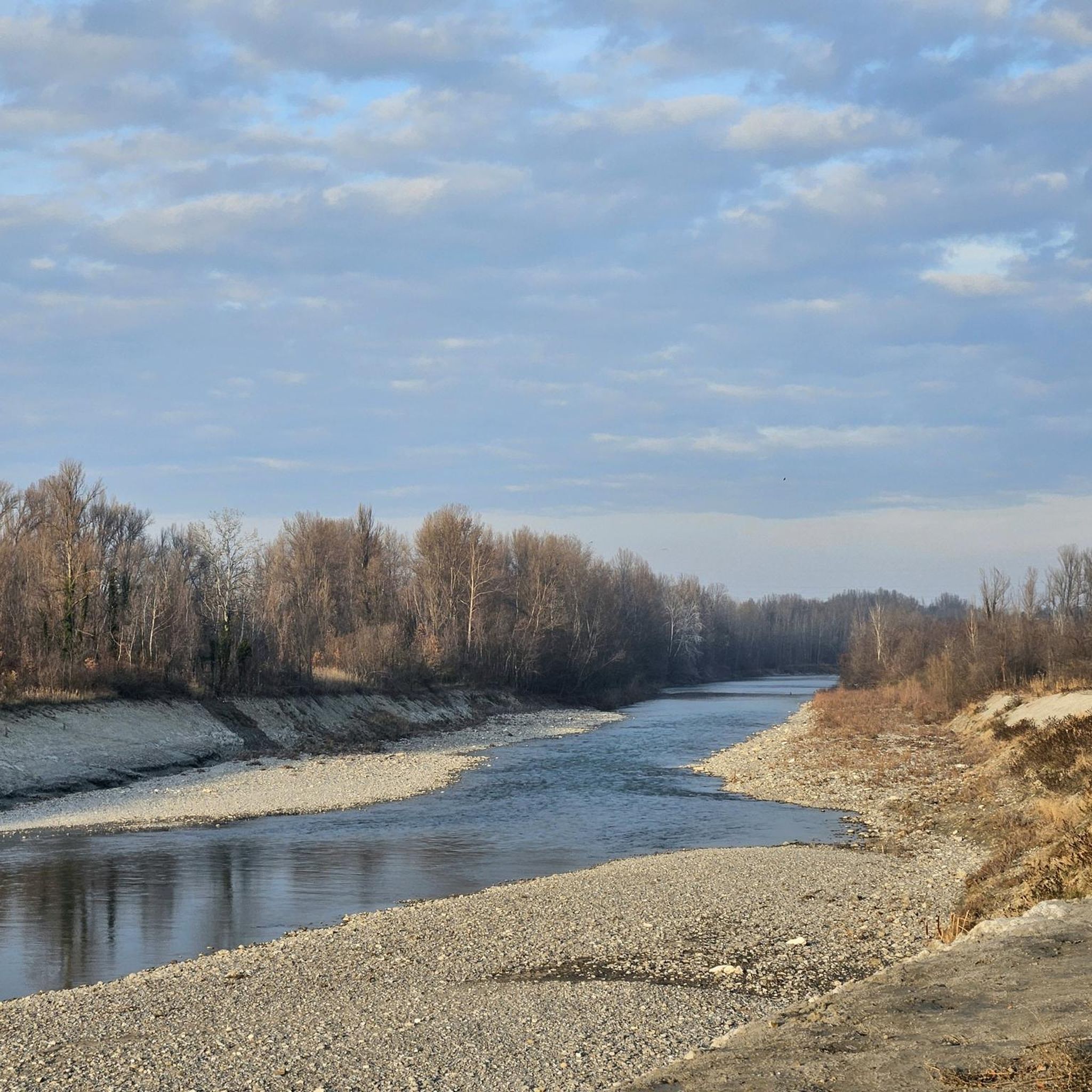
Best natural monuments around Savignano Sul Panaro are found in the hilly Emilia-Romagna region of Italy. The area features a diverse natural landscape, including the Panaro River and ancient oak groves. These natural features offer opportunities for exploration, with various foot and bike paths available. The region's natural heritage includes significant geological formations and elevated viewpoints.
Best natural monuments around Savignano Sul Panaro
- The most popular natural monuments is Monte Tre Croci, a summit that offers a splendid view…
Last updated: August 21, 2026
Sassi di Roccamalatina
Highlight • Natural Monument
Translated by Google •
Tip by

Monte Tre Croci
Highlight • Summit
We advance through the downy oak woods and take the path that leads to Monte delle Tre Croci, passing along the ridge. …
Translated by Google •
Tip by

Sign up now to discover places like this
Get recommendations on the best single tracks, peaks, & plenty of other exciting outdoor places.
Sign up for free
Calanchi of Monte Maggiore
Highlight • Natural Monument
Translated by Google •
Tip by

Cucherla Hill
Highlight • Summit
Translated by Google •
Tip by

Roccamalatina Rocks
Highlight • Natural Monument
Translated by Google •
Tip by

Sign up for free to discover even more natural monuments around Savignano Sul Panaro.
Sign up for free
Already have an account?
Start today with a free account
Your next adventure awaits.
Login or Signup
Popular around Savignano Sul Panaro

Other adventures around Savignano Sul Panaro

Tips from the Community


Panoramic viewpoint under the Sassi
0
0

Sassi di Roccamalatina, beautiful sandstone formations, inside the park of the same name, not to be missed.
0
0

Badlands on the Cucherla Hill
0
0

Typical mountain bike route to have a panoramic view of the Sassi
0
0

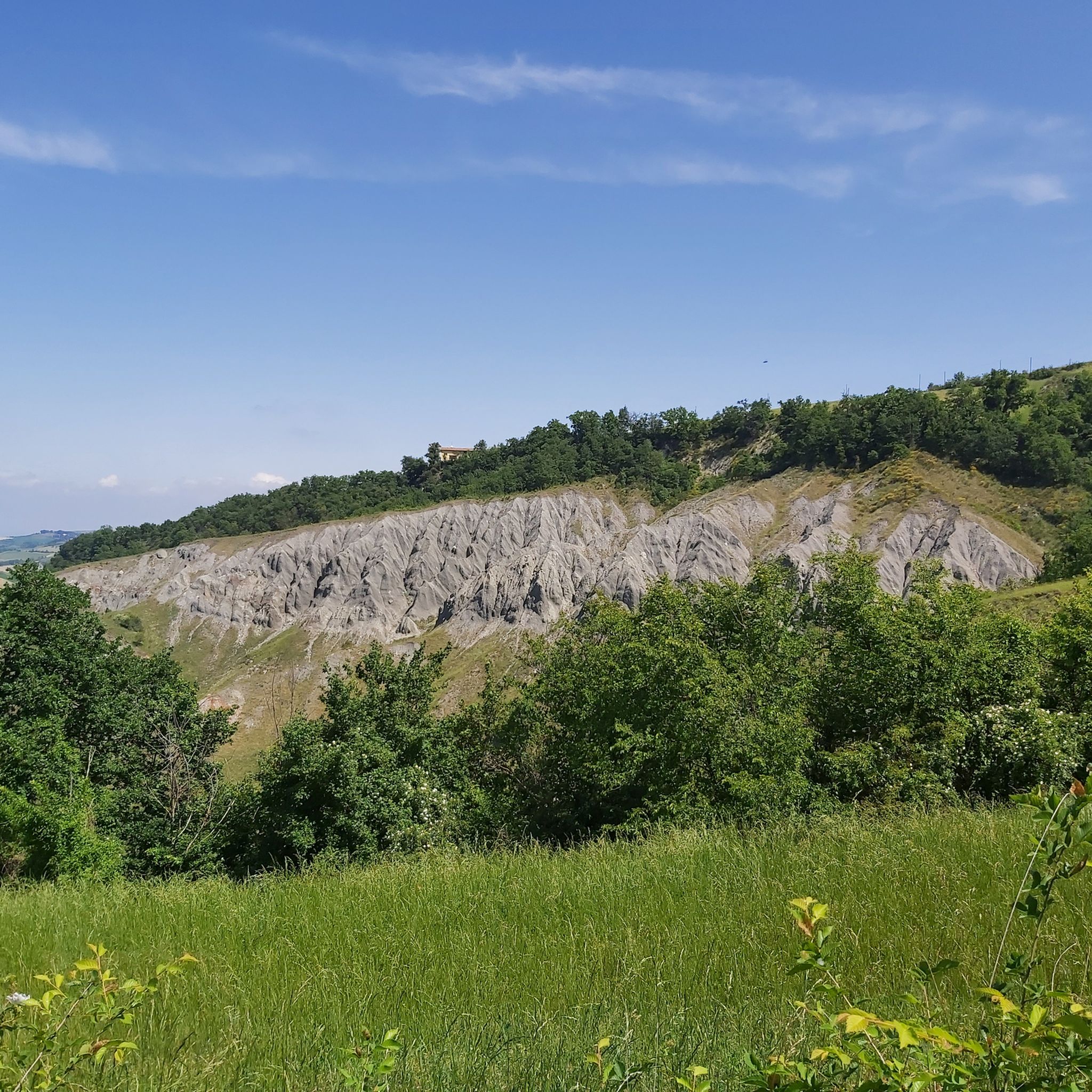
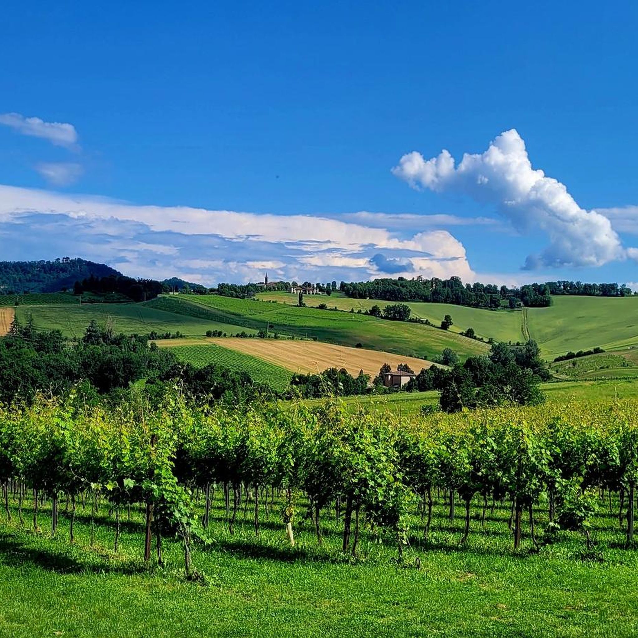
They are the Calanchi di Montemaggiore, a trap from which it is really hard to escape when wet, but otherwise a passage of unparalleled charm, for the calanchi themselves and thanks to the vast inclined plane of the vineyards lying down to the east of the passage, an epiphany! As a dirt road it also represents a very valid connection between the area of San Lorenzo in Collina, San Martino, Pradalbino and the Samoggia Valley between Stiore and Savigno, thanks to the path that, among the vineyards of the Botti winery, descends into that valley from the Church of Montemaggiore.
1
0

From the road, take the dirt road that takes you to the visitor center. For centuries these stones have been used as a military defensive point. First came the Byzantines then the Malatigni family in medieval times. There are paths both on foot and by MTB to see the stones from different angles.
2
0

The rocky outcrops that stand out from the hills characterize the regional park of the same name. They are one of the peculiarities of the middle Modenese Apennines. From here there are numerous dirt roads that cross the area and from which you can admire a wide view of the mountain landscape on the horizon. The road that runs along the cliffs of the Sassi in late spring is painted of rare beauty due to the flowering of the cherry trees.
2
0
Frequently Asked Questions
What unique natural features can I explore around Savignano Sul Panaro?
The region boasts diverse natural features. You can discover the impressive sandstone rock formations of Sassi di Roccamalatina, which stand approximately 70 meters high and are surrounded by an intricate network of paths. Another notable feature is the Calanchi of Monte Maggiore, an extensive gully basin carved into "Scagliose Clays," offering unique geological structures and views over cultivated fields. Additionally, the area is home to ancient oak groves, such as those found along La Via delle Querce, and the significant Panaro River, which features various foot and bike paths.
Are there any natural monuments with panoramic views?
Yes, several natural monuments offer splendid views. Monte Tre Croci is a summit known for its panoramic point, providing a magnificent view of the Modenese plain, especially when low fog creates the illusion of a suspended island. Sasso di Sant'Andrea also offers a great viewpoint from its 'massive' peak.
What kind of hiking trails can I find near these natural monuments?
The natural monuments are often surrounded by various trails. For instance, Sassi di Roccamalatina is a destination for hikers, with an intricate maze of paths. The Cucherla Hill features a short, circular path that combines natural beauty with historical interest. The Panaro River also offers numerous footpaths, including the Mostino Trail and the Acqua Fredda Trail, allowing for immersive walks in the local natural environment.
Are there family-friendly natural monuments or trails in the area?
Many natural monuments and their surrounding areas are suitable for families. The paths around Sassi di Roccamalatina are generally accessible for hikers. The Cucherla Hill has a short, circular path and picnic tables at its summit, making it a pleasant spot for a family outing. When visiting Sasso di Sant'Andrea, be mindful of the rounded morphology at the peak, especially with children.
What outdoor activities can I do near the natural monuments?
Beyond hiking, the region offers excellent opportunities for cycling. You can find various routes for gravel biking, road cycling, and touring bicycles that pass by or near these natural attractions. For example, there are routes like the 'View of the Panaro Valley – Sassi di Roccamalatina loop' for gravel biking, or the 'Panaro River – Zocca Village loop' for road cycling. You can explore more cycling options in the Gravel biking around Savignano Sul Panaro, Road Cycling Routes around Savignano Sul Panaro, and Cycling around Savignano Sul Panaro guides.
What is the best time of year to visit the natural monuments around Savignano Sul Panaro?
While many natural monuments can be enjoyed year-round, autumn is particularly recommended for places like the Calanchi of Monte Maggiore, where the autumn colors enhance the landscape. Spring and early summer are ideal for visiting Cucherla Hill, as various protected orchid species bloom in its brightest spots.
Are there any historical aspects associated with the natural monuments?
Yes, some natural monuments have historical significance. The ancient oak trees along La Via delle Querce are considered historical monuments themselves due to their age and size. Sassi di Roccamalatina served as a military defensive point for centuries, first for the Byzantines and later for the Malatigni family in medieval times. Cucherla Hill was part of the defensive system for the castle of Monteveglio in medieval times and once housed the chapel known as the Madonna della Cucherla.
What do visitors particularly enjoy about the natural monuments in this region?
Visitors appreciate the diverse natural beauty and the opportunities for exploration. The panoramic views from summits like Monte Tre Croci are highly praised. The unique geological formations of Sassi di Roccamalatina and the unparalleled charm of the Calanchi of Monte Maggiore are also frequently highlighted. The intricate network of paths and the serene natural escapes offered by ancient oak groves and the Panaro River contribute to a rich outdoor experience.
Is public transport available to reach these natural monuments?
Specific public transport details for each natural monument are not readily available in the provided information. It is generally advisable to check local transport options or consider driving to access the trailheads and natural sites around Savignano Sul Panaro.
Are there any specific tips for visiting the Sassi di Roccamalatina?
When visiting Sassi di Roccamalatina, you can take a dirt road from the main road to reach the visitor center. There are both foot and mountain bike paths to view the stones from various angles. The area is particularly popular with hikers, especially in summer, due to its extensive trail network.
What should I know before hiking the Calanchi of Monte Maggiore?
The Calanchi of Monte Maggiore offer a passage of unparalleled charm. However, be aware that the terrain can become very challenging and difficult to navigate when wet. It's best to visit during dry conditions to fully enjoy the views over cultivated fields and woods.
Can I find picnic spots near the natural monuments?
Yes, for example, at the 'summit' of Cucherla Hill, you will find two picnic tables, making it a suitable place to rest and enjoy a meal amidst nature.
Most popular routes around Savignano Sul Panaro
Most popular attractions around Savignano Sul Panaro

Get inspired with the komoot mobile app


Explore more
Extend your search for the best caves by checking out these guides of the top ones around Savignano Sul Panaro:
