Top 17 Natural Monuments around Gribskov
Best natural monuments around Gribskov include a diverse range of natural and historical sites within one of Denmark's largest and oldest forests. The area features serene lakes, ancient burial sites, and undulating landscapes. Gribskov, a UNESCO World Heritage site, spans approximately 5,500 hectares and offers a varied terrain with wild thickets and open meadows. Visitors can explore a significant natural environment with abundant wildlife.
Best natural monuments around Gribskov
- The most popular natural monument is Dronningens Bøge Pier, Esrum Lake…
Last updated: May 15, 2026
Dronningens Bøge Pier, Esrum Lake
Highlight • Lake
Translated by Google •
Tip by

Kulsvierstenen (The Charcoal Burners' Stone)
Highlight • Monument
Translated by Google •
Tip by
Sign up now to discover places like this
Get recommendations on the best single tracks, peaks, & plenty of other exciting outdoor places.
Sign up for free
Skibet (The Ship)
Highlight • Natural Monument
Translated by Google •
Tip by
Smørstenen (The Butter Stone)
Highlight • Natural Monument
Translated by Google •
Tip by
Fruebjerg
Highlight • Viewpoint
Showing Translation
Tip by
Sign up for free to discover even more natural monuments around Gribskov.
Sign up for free
Already have an account?
Start today with a free account
Your next adventure awaits.
Login or Signup

Tips from the Community

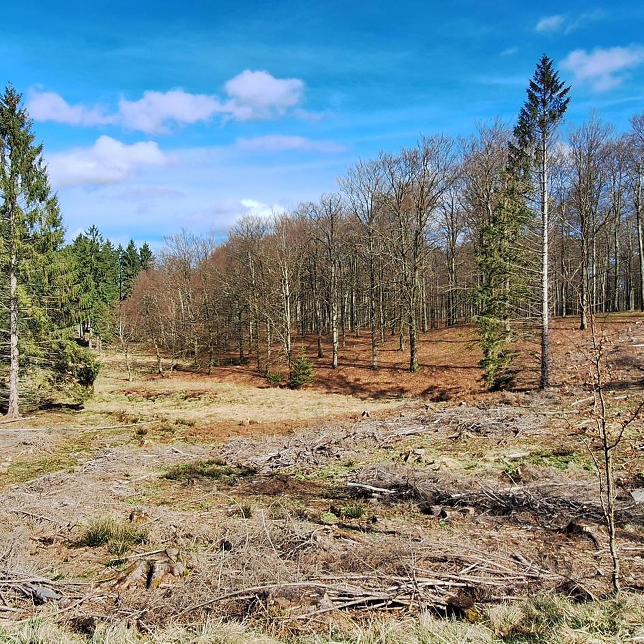
Während des 2. Weltkriegs war de sogenannte Köhlergruppe aktiv im Widerstandskampf. The group merged the Waffen container, the von der Englischen Luftwaffe über dem Gribskov abgeworfen wurden ein. In those places, there is a stone heute steht, wurden von März bis April 1945 8 Abwürfe vorgenommen. Bei der letzten Mission am 21. April 1945 wurden 18 Container abgeworfen. The Occupation Power Hats, but Information on the Abwurfplatz, and the rule of law are the Feuergefecht Zwischen der Widerstandsgruppe und Wehrmachtsoldiers. 2 The soldier kamen dabei ums Leben und 4 Widerstandsleute wurden festgenommen. The 14th anniversary of the Wald bis zum Esrum See zu kommen. Mit einem Ruderboot gelang sie dann an das gegenüberliegende Ufer vom See. The bullet at the marked route close to the intersection of Stutterivej and Søndre Skovportsvej near the Smørsten has been reminiscent of a fierce battle between opponents and Germans the night of April 21, 1945. The place was used for the removal of weapons from allied aircraft to the resistance movement, and this The last weapon reception was revealed by the Germans. They surrounded the 18 men, "The Bulls Battalion", who were saving the dumped firearms, hand grenades and ammunition, which were instead used to answer the fire of the 120 German police soldiers. To Germans were shot, four opponents were captured , and the rest fled in dinghies across Esrum Lake or to Hillerød. The four captured were released when the occupation ended two weeks later. Nearby is the Morsestenen, where the resistance leader's local leader was sitting as he routed the planes over the place. The master signal for B (- ...) has been captured.
4
0
Der "Smørsten", which is geologically seen is a wandering block, liegt hier im Wald, seit sich das Eis vor ca. 13,000 years back. Über die Meaning of Names gibt es viele, mostly very imaginative stories. The butter stone rises with vertical sides like a small triangular mountain between fir trees by a forest path in Gribskov. The butterstone consists of granite with pegmatitic passages, where centimeter-sized quartz and feldspar grains are seen. The butter stone consists of medium-grained homogenous light red-grey granite. 55% feldspar grains up to 1 cm in size 20% 2-3 mm white plagioclase grains 20% smoke colored 2-3 mm quartz grain 5% dark minerals In many places, pegmatitic sheaths with up to 2 cm grains of smoky quartz and white kalifeldspar with perthite striations are seen. The sheaths are 1 to 5 cm wide and up to ½ m long. The stone is smooth ground on the lower half and rougher on the upper half. On the south side, the ice scouring is pronounced, and you can see scour marks and a sickle-shaped fracture. The butter stone stands on an approximately right-angled triangular ground plan. The apex of the right angle points to the southeast. The sides of the triangle are measured: Side to the south 2.4 m. Side to the east 2.2 m. Side to the north 3.3 m. The points of the triangle are cut off to the west (facing the path) and measure 0.8 m. And to the east, the blunt tip measures 0.9 m. The total circumference between chest height and knee height is 10.5 m. Its volume is estimated at 12 cubic metres, giving it a weight of around 30 tonnes, granite weighing 2.7 tonnes per cubic metre. There is no legend attached to the Smørstenen according to the book on 'Danish stones in legend and faith' from 1994. And the excavated giant stone is not mentioned at all in the book 'Danmark's giant stone in folkeoverlervingen' from 1932. But in the book 'Gribskov' from 2009 it is found tradition described that the stone turns when it smells of freshly churned butter on Easter Sunday, and that the stone has been a harbinger of spring, as spring was supposed to be just around the corner when a dollop of butter placed on top of the stone melted. Likewise, in the Gribskovbogen, a throwing legend is reproduced which tells that "It must originate from Kullen and was thrown after Nøddebo Church. When the monks from Esrum built Nøddebo Church, the coal man became angry and threw a large stone at the church. When it didn't hit, he took an even bigger stone and threw it with great force at the church, but it missed and lies in the forest near Egelund". And sure enough, there is a giant stone at Egelund - called the Trollstone. However, it should have been thrown by the Devil and not the Coal Man.
2
0
In one Storm 1827 one big book feels. Instead of dying, 5 new book strains grow from the fallen book. Duch the particular form of the progressive tribes under other perpendicular standing tribes they look like masts on a sailing ship. //// The ship is probably Gribskov's most peculiar attraction of nature. For several decades it had become a rumor that the 6 old beech trees 1 km north of the Forest School in a row and row close to each other in reality were the side branches of a toppled beech that had taken root and had grown further. Could that be right? Yes ! In the old operating plan of 1878, the tree formation is described, and at that time you could clearly see the overturned tree. So the ship is really a real "frigate tree", and even Denmark's finest. The oldest parts date back at least to the 18th century. The ship is difficult to find these years because of the strong beech growth in the section of the forest where it stands. But in the back of the book's map (and in Volume 2) you can see the tree's GPS coordinates, so with a pocket GPS and a little talent, you can go right there. (source: gyldenlund.dk/severdigheter/se1.htm)
2
0
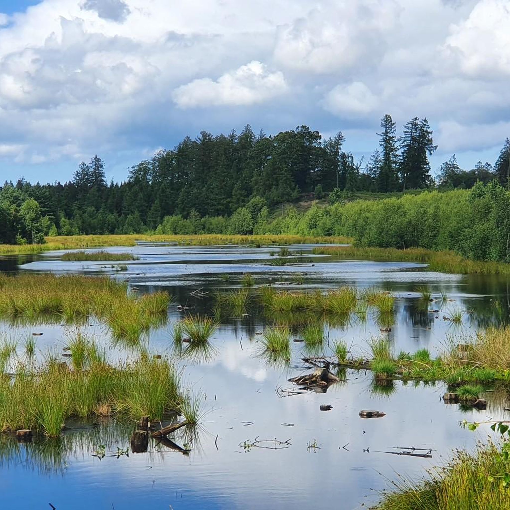
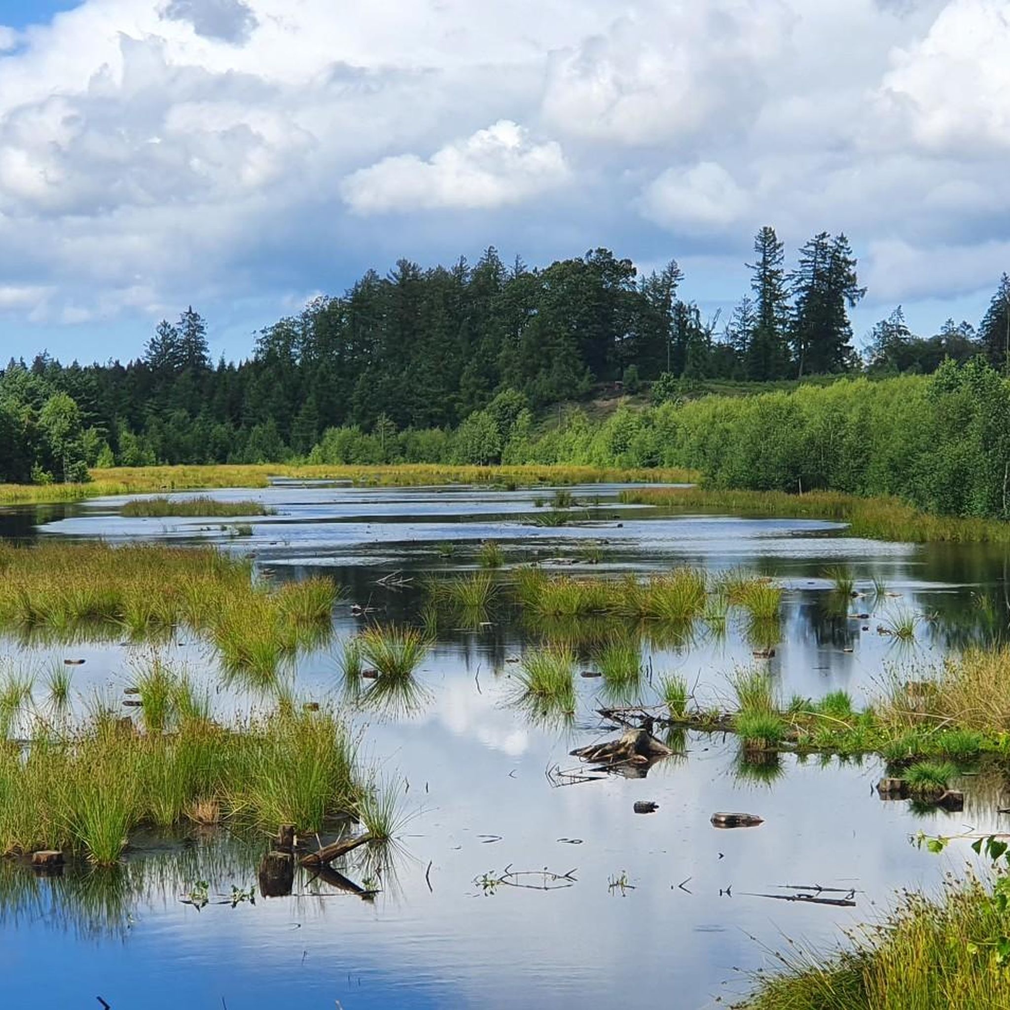
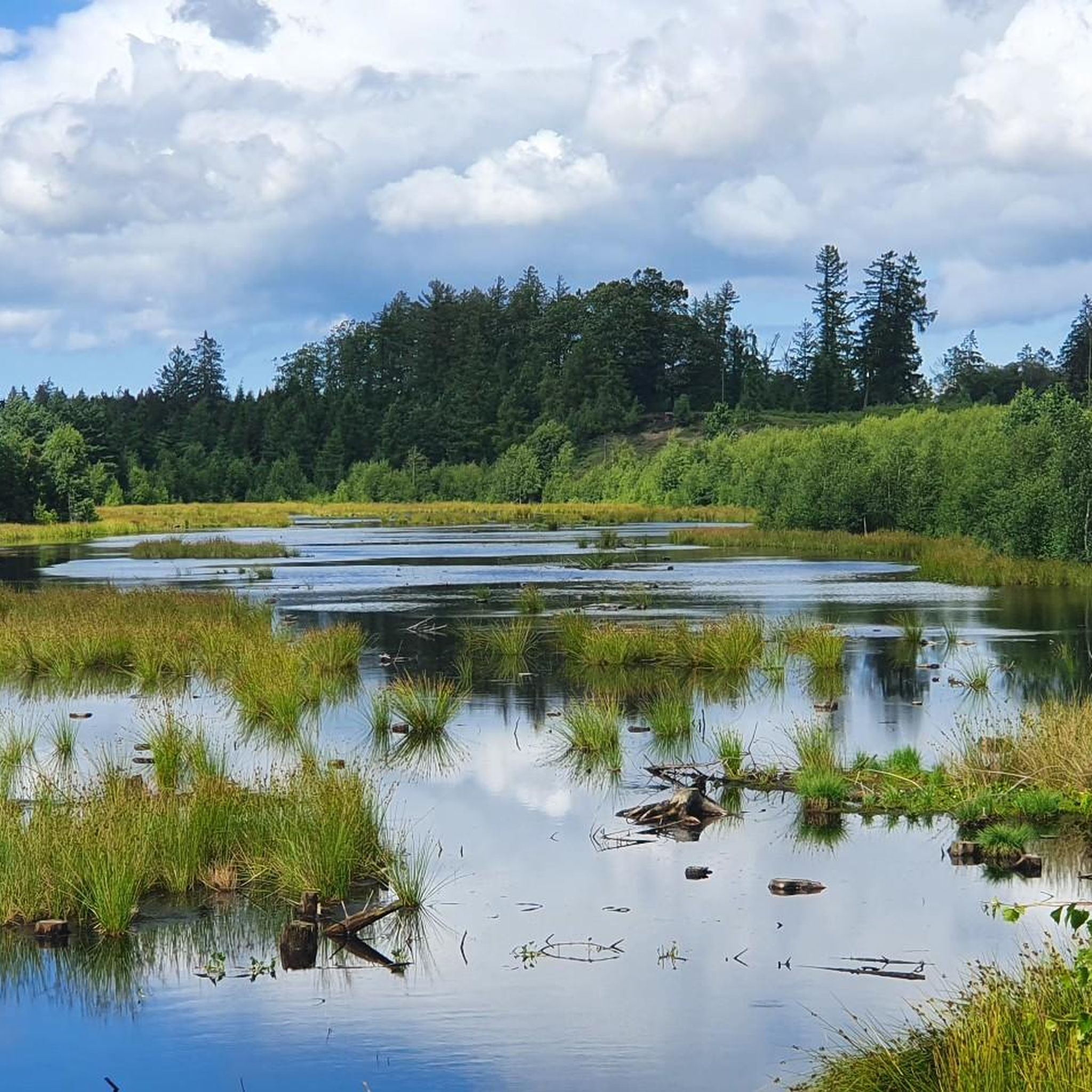
At the end of Frederik IV all ', north of Nødbo on the banks of Esrum lake, several old beech stands as an avenue towards the water. Probably the avenue has originally continued all the way to the present Gillelejevej. Only a few of these beech stands back along the road, which is today called Frederik IV allé. If the line is extended to the east above the lake, it continues in the baroque hall, which extends from the lake bank up to Fredensborg Castle. It was Frederik IV who was responsible for the construction of Fredensborg Castle and to leave the avenue over the lake and into the forest on the other side. Only built in the early 1720s. King Frederik IV was married to Louise of Mecklenburg in 1695 on fatherly orders. When Queen Luise died in 1721, he married Anna Sophie Reventlow. This caused some fury at the court and it is said that for peace, they went on excursions along Esrum Lake. It is also said that it was her who had the idea of letting the avenue extend west of the lake. Thus, it should be her who has named the Queen's beech.
7
0
Fruebjerg, at 65.45 meters, is Gribskov's steepest hill. From its top, in good weather, there is a view over Denmark's largest lake, Arresø. King Frederik 2's Canal, built in the late 16th century to channel water to Frederiksborg Castle Lake, cuts across the western foot of Fruebjerg, and below it lies Fruebjerg Sø. Previously, there were several springs in the area. Otherwise, Fruebjerg is best known for the Fruebjerg Meetings from 1896-1935, founded by the folk high school teacher Holger Begtrup. Up to 5,000 citizens gathered to hear politicians and cultural figures speak here. On the 100th anniversary of the first meeting, the tradition was revived with a meeting every year in August.
8
1
Frequently Asked Questions
What are some of the most popular natural monuments to visit in Gribskov?
Visitors frequently enjoy Dronningens Bøge Pier, Esrum Lake, known for its historical beech avenue and connection to Frederik IV and Queen Louise. Another highly rated spot is Fruebjerg, Gribskov's steepest hill, offering views of Arresø. The unique tree formation called Skibet (The Ship), where five new beech strains grow from a fallen tree, is also a community favorite.
Are there family-friendly natural monuments in Gribskov?
Yes, several natural monuments in Gribskov are suitable for families. Dronningens Bøge Pier, Esrum Lake is a great option for a pleasant outing. The intriguing Skibet (The Ship) and the geological wonder of Smørstenen (The Butter Stone) are also categorized as family-friendly, offering interesting sights for all ages.
What kind of natural features can I expect to see in Gribskov?
Gribskov is rich in diverse natural features. You'll find serene lakes like Store Gribsø, the largest lake entirely within Gribskov, and Sandskredssøen, an evolving wetland. The forest also features undulating moraine landscapes, steep hills like Fruebjerg, and unique geological formations such as Smørstenen (The Butter Stone), a large granite wandering block.
Are there historical sites integrated with the natural monuments in Gribskov?
Absolutely. Gribskov is a UNESCO World Heritage site, recognized for its par force hunting landscape. You can visit ancient burial sites like Mor Gribs Hule (Mor Grib's Den), a well-preserved megalithic tomb from the late Stone Age. The Dronningens Bøge Pier, Esrum Lake also has historical ties to Danish royalty, and Fruebjerg was historically known for significant public meetings. The Kulsvierstenen (The Charcoal Burners' Stone) marks a site of WWII resistance activity.
What outdoor activities can I do near the natural monuments in Gribskov?
Gribskov offers a wide range of outdoor activities. You can explore numerous routes for cycling, road cycling, and running. For example, there are moderate to difficult cycling routes like the 'Helsingør Station – View of Kronborg Castle loop' and various running trails, including a 'Store Gribsø loop'. You can find more details on these activities and routes in the Cycling around Gribskov, Road Cycling Routes around Gribskov, and Running Trails around Gribskov guides.
Are there good viewpoints among Gribskov's natural monuments?
Yes, Fruebjerg is Gribskov's steepest hill and provides excellent views of Denmark's largest lake, Arresø, on clear days. The general undulating terrain of Gribskov, a moraine landscape, also offers various scenic spots throughout the forest.
What is the best time to visit Gribskov's natural monuments?
Gribskov is beautiful year-round. Spring and summer offer lush greenery and pleasant weather for hiking and cycling, with blooming flora. Autumn brings vibrant fall colors, making for picturesque landscapes. Even winter can be enchanting, with opportunities for peaceful walks through the snow-covered forest. The choice depends on your preferred activities and scenery.
Can I bring my dog to the natural monuments in Gribskov?
Gribskov is generally dog-friendly, with many trails and areas suitable for walks with your canine companion. However, it's always recommended to keep dogs on a leash, especially in areas with wildlife or near other visitors, and to check for any specific local regulations at individual sites or protected areas within the forest.
What kind of wildlife can I observe in Gribskov?
Gribskov is home to abundant wildlife. It boasts the largest stock of roe deer in Denmark, and you might also spot other forest animals. The area is also known for breeding ospreys, particularly around its lakes and wetlands. Keep an eye out for various bird species and smaller mammals during your visit.
Are there any unique or 'hidden gem' natural monuments in Gribskov?
Beyond the well-known spots, Skibet (The Ship), a peculiar formation of beech trees, is considered one of Gribskov's most unique natural attractions. The evolving wetland of Sandskredssøen, with its ongoing bog regeneration, also offers a fascinating glimpse into natural processes that might be considered a hidden gem for those interested in ecology.
What are the terrain and difficulty levels for exploring Gribskov's natural monuments?
Gribskov features a gently undulating moraine landscape. While generally accessible, some areas, like Fruebjerg, are steeper. You can find trails ranging from easy walks around lakes to more challenging routes for hiking and cycling. For example, some running trails are rated as 'difficult', while certain cycling routes are 'easy' or 'moderate'.
Are there facilities or amenities near the natural monuments in Gribskov?
While Gribskov is a vast natural area, you can find amenities in nearby towns and villages surrounding the forest. Some popular starting points or areas might have cafes or picnic spots. For specific information on cafes, pubs, or accommodation, it's best to check local resources or maps for the areas you plan to visit within Gribskov.
Most popular routes around Gribskov
Most popular attractions around Gribskov

Get inspired with the komoot mobile app


Explore more
Extend your search for the best caves by checking out these guides of the top ones around Gribskov:
