Top 6 Natural Monuments in the Saronic Islands
Best natural monuments in the Saronic Islands are found across a diverse landscape, featuring volcanic formations, extensive pine forests, and clear coastal waters. The islands, situated close to Athens, offer a range of natural features for exploration. Visitors can discover geological wonders and serene natural settings, making them appealing destinations for nature lovers. The region is known for its distinct natural landmarks and scenic trails.
Best natural monuments in the Saronic Islands
- The most popular natural monuments is Volcanic Cave…
Last updated: August 20, 2026
Kameni Chora Volcano
Highlight • Volcano
Translated by Google •
Tip by

Pausanias Baths
Highlight • Natural Monument
Translated by Google •
Tip by

Sign up now to discover places like this
Get recommendations on the best single tracks, peaks, & plenty of other exciting outdoor places.
Sign up for free
Volcanic Cave
Highlight • Cave
Translated by Google •
Tip by

Ancient Olive Tree of Pachia Rachi
Highlight • Natural Monument
Translated by Google •
Tip by
Sulphur Springs of Methana
Highlight • Natural Monument
Translated by Google •
Tip by

Sign up for free to discover even more natural monuments in the Saronic Islands.
Sign up for free
Already have an account?
Start today with a free account
Your next adventure awaits.
Login or Signup
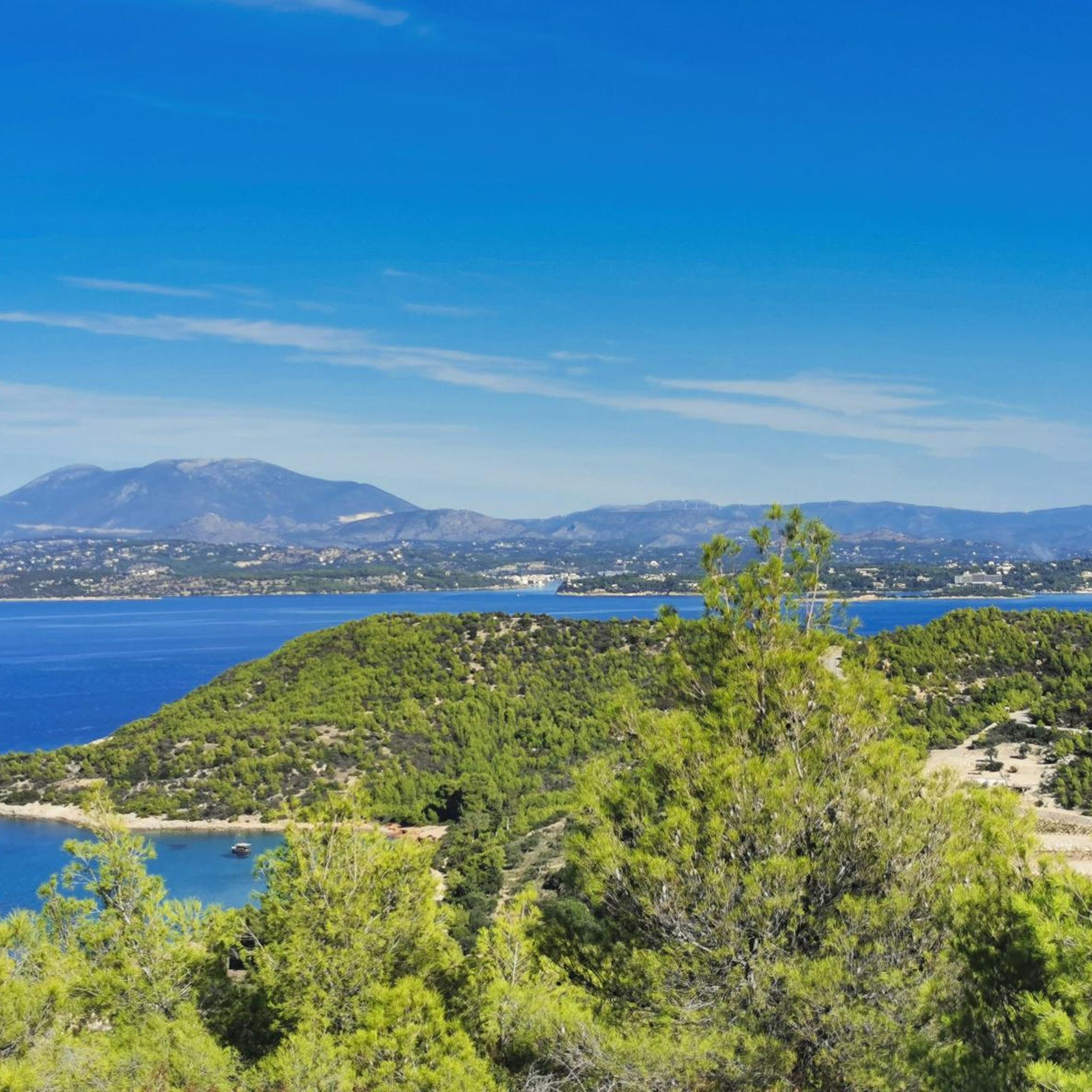
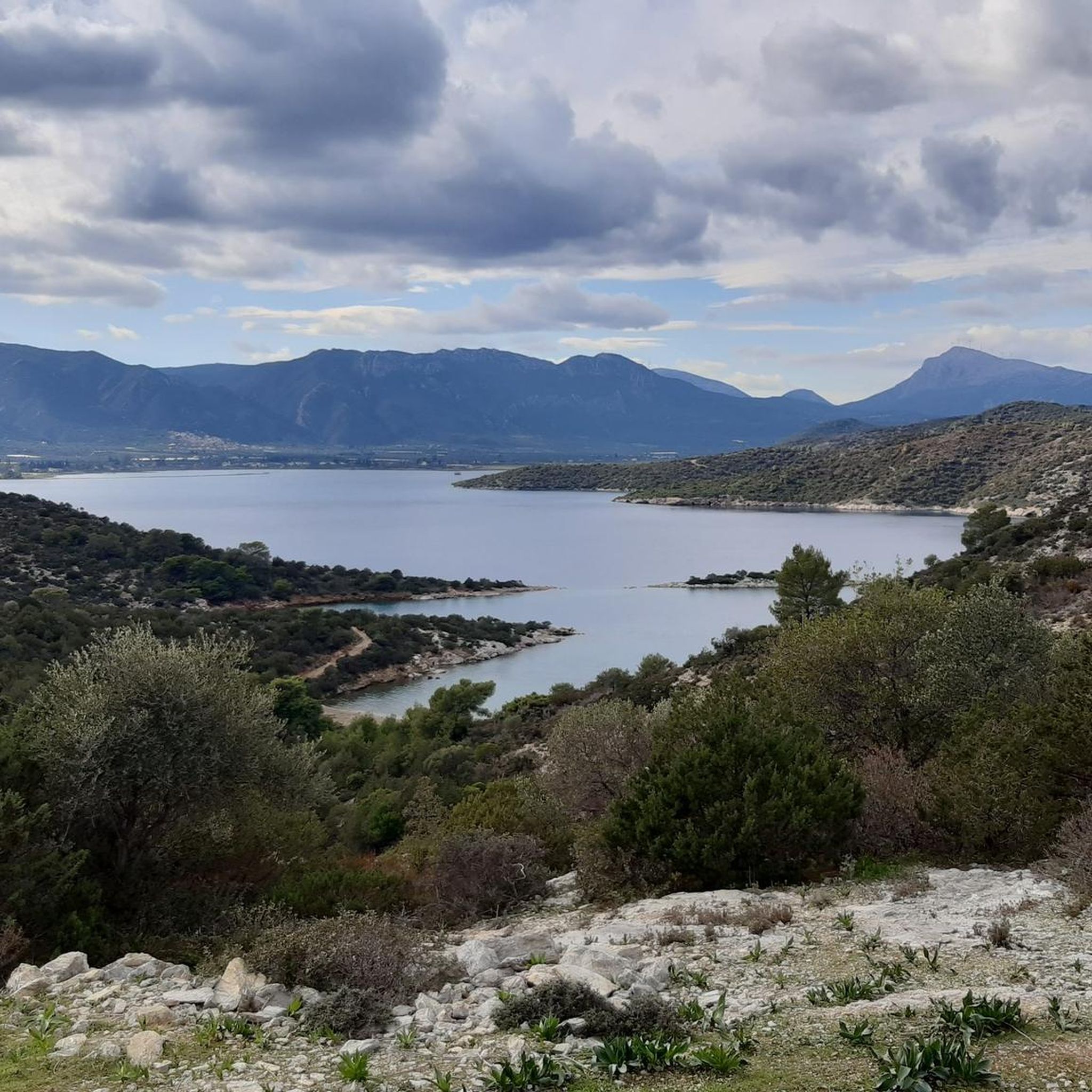
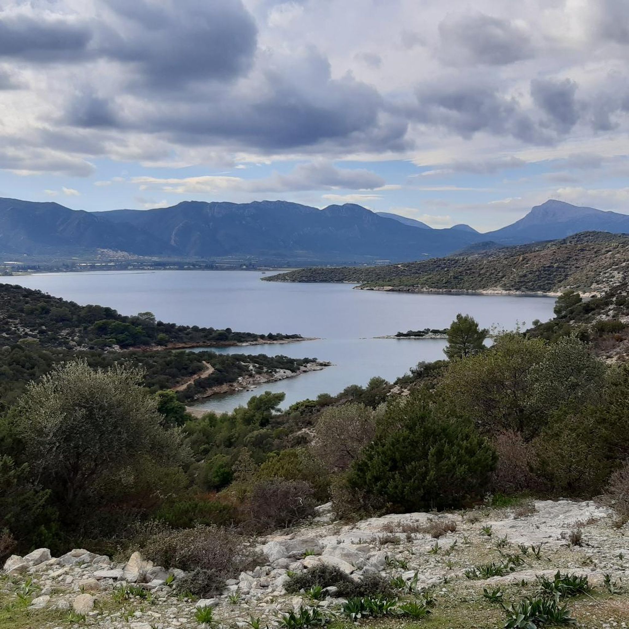
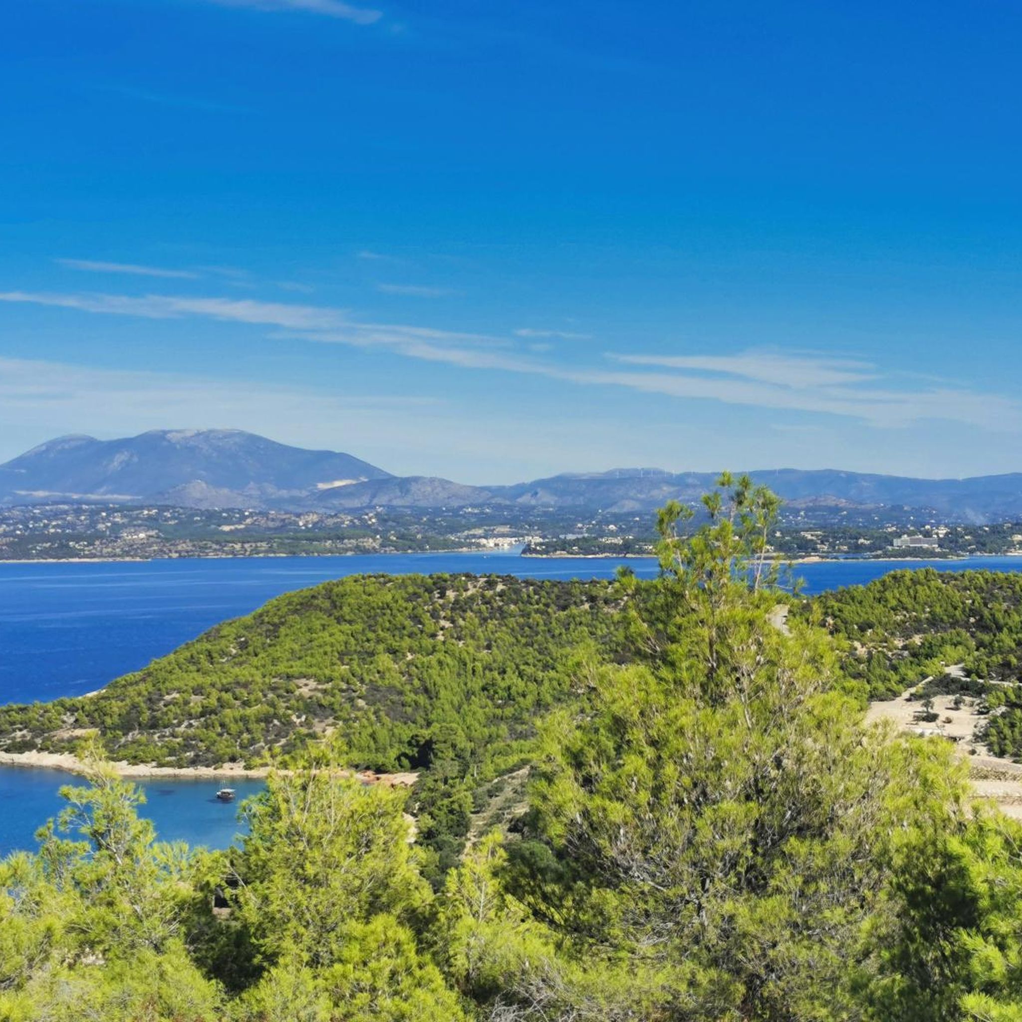
Tips from the Community

Very interesting, much more interesting to show us electric bikes than to show us the crater. When will people start giving real information?
0
0

A small plateau where two centuries-old olive trees survive. Access is particularly difficult by bicycle.
0
0

Methana Peninsula The Methana Peninsula was formed from the seabed by successive volcanic eruptions that began about 1,000,000 years ago and ended about 250,000 years ago. Then everything was quiet here for thousands of years and the landscape we see today was already formed. However, around 250 BC there was another small eruption. This eruption is mentioned by Pausanias, among others, in his writings. He says that there was a fertile plain that stretched from the present village of Kammeni Chora to the sea in the west. The whole area was covered by lava that accumulated over months and formed the steep mountain that you can see right behind your back. The height of the mountain is about 400 m. It was not a violent eruption. During the last phase, the viscous lava flow died out in the sea in the west. The volcanoes of Methana do not have the typical caldera shape. The lava here was so viscous that it accumulated vertically, forming high, steep mountains. The eruptions here were usually not violent and lasted a long time. In general, every mountain you see in the area is a single eruption. About 30 individual volcanic eruptions are visible on the Methana peninsula. On the summit of Kammeni Chora volcano you will find a crack that probably appeared during the last phase of the eruption, when the rich lava flow reached the sea. From the summit you can follow the lava flow with your eyes all the way to the sea. The sunset here is more beautiful than on Santorini. The lava glows red again in the last light of the setting sun. Methana volcano is active, however we cannot yet predict where and when the next eruption will be. The hike to the summit takes about 25 minutes. Text and pictures: Elias Rizos - www.volcanotrails.gr Read about the Kammeni Chora volcano on www.volcanotrails.gr SCAN ME A travel guide to Methana-topia www.volcanotrails.gr SCAN ME Map of Methe Background from 2002 Methana Peninsula The Methana peninsula was formed from the seabed by successive volcanic eruptions that began about 1,000,000 years ago and ended about 250,000 years ago. Then everything was quiet here for thousands of years and the landscape we see today was already formed. However, around 250 BC there was another small eruption. This eruption is mentioned by Pausanias, among others, in his writings. He says that there was a fertile plain that stretched from the present village of Kammeni Chora to the sea in the west. The whole area was covered by lava, which accumulated for months and formed the steep mountain that you can see right behind your back. The height of the mountain is about 400 m. It was not a violent eruption. During the last phase, the viscous lava flow died out in the sea to the west. Methana's volcanoes do not have the typical caldera shape. The lava here was so viscous that it accumulated vertically and formed high, steep mountains. The eruptions here were usually not violent and lasted a long time. In general, every mountain you see in the area is a single eruption. About 30 individual volcanic eruptions are visible on the Methana peninsula. On the summit of the Kammeni Chora volcano you will find a crack that probably appeared during the last phase of the eruption, when the rich lava flow reached the sea. From the summit you can follow the lava flow with your eyes all the way to the sea. The sunset here is more beautiful than on Santorini. The lava glows red again in the last light of the setting sun. Methana volcano is active, however we cannot yet predict where and when the next eruption will be. The hike to the top takes about 25 minutes. Text and pictures: Elias Rizos – www.volcanotrails.gr Read about Kammeni Chora volcano on www.volcanotrails.gr SCAN ME A travel guide to Methana-topia www.volcanotrails.gr SCAN ME Map of Methe Background from 2002 Με χρώματα στp
0
0

The bathroom has been completely renovated and now has an outdoor pool - the bathhouse itself has been closed since a suffocation accident. All you have to do is press a green button and a pump starts filling the pool for 15 minutes. If you want to bathe longer, simply press the button again. In January 2024 the water had a temperature of around 30 degrees.
2
0

The last 500 m footpath up to the volcano are narrow and steep in places, but doable. You don't have to climb, but you should be sure-footed. Not suitable for prams and small children.
1
0


Pausania sulfur bath, the water comes at the push of a button
3
0
Frequently Asked Questions
What types of natural monuments can I explore in the Saronic Islands?
The Saronic Islands offer a diverse range of natural monuments, including unique volcanic formations, ancient trees, and therapeutic sulfur springs. You can discover sites like the Kameni Chora Volcano on the Methana Peninsula, the centuries-old Ancient Olive Tree of Pachia Rachi, and the Pausanias Baths with their warm sulfur waters.
Are there any volcanic natural monuments to visit in the Saronic Islands?
Yes, the Methana Peninsula is home to several volcanic natural monuments. You can explore the Kameni Chora Volcano, which offers a hike to its crater and insights into the region's geological history. Another notable site is the Volcanic Cave, providing a good view and a pleasant short tour.
Can I find natural hot springs or therapeutic waters in the Saronic Islands?
Absolutely. The Saronic Islands feature natural sulfur springs known for their therapeutic properties. The Pausanias Baths offer a renovated outdoor pool with water around 30 degrees Celsius. Additionally, the Sulphur Springs of Methana flow directly into the sea, creating milky turquoise waters where you can take a medicinal bath.
What kind of natural landscapes and flora can I expect to see?
The Saronic Islands are characterized by lush pine forests, fragrant lemon groves, and diverse flora. Spetses is known as the 'island of aromas' due to its abundant fragrant trees. Agistri boasts lush pine trees and vibrant flora, especially around Lekani Lake, which is home to various birds and rare plants. Hydra also features rich vegetation and pine forests, particularly on its western side.
Are there hiking opportunities near the natural monuments in the Saronic Islands?
Yes, the Saronic Islands offer numerous hiking opportunities. For example, the hike to the summit of Kameni Chora Volcano takes about 25 minutes. Hydra, being car-free, has well-worn footpaths and kalderimi ideal for exploring its diverse landscapes. You can find more detailed hiking routes in the Easy hikes in the Saronic Islands guide, which includes routes like the Hydra Harbour Coastal Walk and the Olive Grove Road loop near Methana.
What are some family-friendly natural attractions in the Saronic Islands?
Many natural sites in the Saronic Islands are suitable for families. Exploring the clear waters and sandy beaches of Agistri, such as Aponisos or Dragonera, is a great option. Gentle walks through the pine and lemon forests of Poros also offer a serene family experience. The Volcanic Cave is described as a nice little tour with a good view, which could be enjoyable for families.
What are the best times to visit the natural monuments in the Saronic Islands?
The Saronic Islands are generally pleasant to visit during spring (April-May) and autumn (September-October) when the weather is mild, and the landscapes are vibrant. These periods are ideal for hiking and exploring the natural sites without the intense summer heat. Summer (June-August) is also popular, especially for enjoying the clear waters and beaches.
Are there any natural monuments that offer panoramic views?
Yes, several natural monuments provide stunning panoramic views. Mount Eros, Hydra's summit, offers splendid views of the island, the Saronic Gulf, and the Peloponnese mainland. The Kameni Chora Volcano also provides excellent vistas, with tips suggesting the sunset here is particularly beautiful. The Volcanic Cave is also noted for offering a good view.
What outdoor activities, besides hiking, can I do near these natural monuments?
Beyond hiking, the Saronic Islands are excellent for cycling. You can find various cycling routes, including those around Spetses, Poros, and Aegina. For example, the Cycling in the Saronic Islands guide features routes like the Spetses Island Coastal Views loop. The clear waters around islands like Agistri, Hydra, and Poros are perfect for swimming and snorkeling.
What do visitors enjoy most about the natural monuments in the Saronic Islands?
Visitors frequently appreciate the unique geological features, such as the volcanic landscapes of Methana, and the serene beauty of the ancient olive trees. The clear, often milky turquoise waters of the sulfur springs are also a highlight. Many enjoy the rewarding hikes to viewpoints and the opportunity to connect with nature in these picturesque settings.
Is it possible to access these natural monuments by public transport?
Access to the Saronic Islands is primarily by ferry from Athens, which connects to the main islands. Once on the islands, public transport options vary. Hydra is famously car-free, relying on footpaths and water taxis. For specific natural monuments, local buses or taxis might be available, but some more secluded sites may require walking or private transport.
Are there any natural monuments that are particularly challenging to reach?
Some natural monuments may present a challenge, depending on your mode of transport. For instance, the Ancient Olive Tree of Pachia Rachi is noted for having particularly difficult access by bicycle. While the hike to Kameni Chora Volcano is about 25 minutes, it involves a trail that requires sturdy shoes.
Most popular routes in the Saronic Islands
Most popular attractions in the Saronic Islands

Get inspired with the komoot mobile app


Explore more
Extend your search for the best caves by checking out these guides of the top ones in the Saronic Islands:
