Top 5 Mountain Passes in Ostalbkreis
Mountain passes in Ostalbkreis are situated in the eastern part of the Swabian Jura mountains, offering elevated areas for various outdoor activities. The region features diverse terrain, including passes, mountains, and pass heights, providing opportunities for cycling and hiking. These natural features are characterized by climbs, panoramic views, and recreational options. Ostalbkreis is known for its scenic viewpoints and historical significance, making it a destination for exploring the Swabian Alb landscape.
Best mountain passes in Ostalbkreis
- The most popular mountain…
Last updated: May 13, 2026
Reiterles Chapel
Highlight • Religious Site
Translated by Google •
Tip by

Furtlepass (630 m)
Highlight • Mountain Pass
Translated by Google •
Tip by

Sign up now to discover places like this
Get recommendations on the best single tracks, peaks, & plenty of other exciting outdoor places.
Sign up for free
Ascent to the Furtlepass from Weiler in den Bergen
Highlight (Segment) • Mountain Pass
Translated by Google •
Tip by

Gromberghöhe Pass (638 m)
Highlight • Mountain Pass
Translated by Google •
Tip by

Ascent from Degenfeld to Furtles Pass
Highlight (Segment) • Mountain Pass
Translated by Google •
Tip by

Himmelreich–Heubach Pass Road
Highlight (Segment) • Mountain Pass
Translated by Google •
Tip by

Road summit between Hülen and Waldhausen (671 m)
Highlight • Mountain Pass
Translated by Google •
Tip by
Start today with a free account
Your next adventure awaits.
Login or Signup
Popular around Ostalbkreis

Main-Danube-Lake Constance Trail – Along iconic waters

Germany's Hohenlohe-Ostalb Cycle Route – From idyllic valleys to the Swabian Alb

German Limes Cycle Path – Riding from the Rhine to the Danube
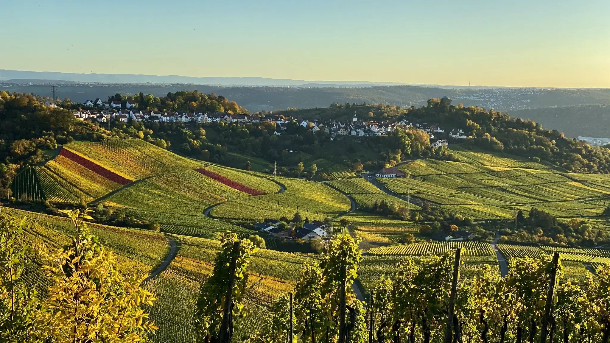
Rems Valley Trail near Stuttgart – Endlessly beautiful 11 stages
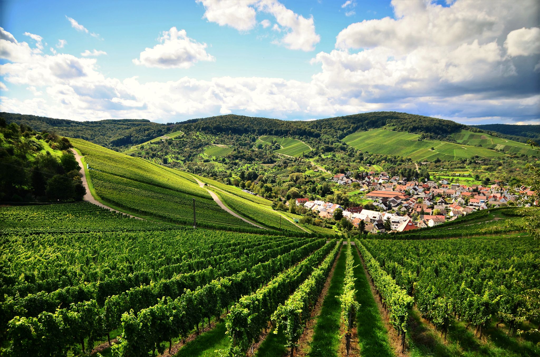
The Remstal cycle path – Nature, timber frame and the Limes
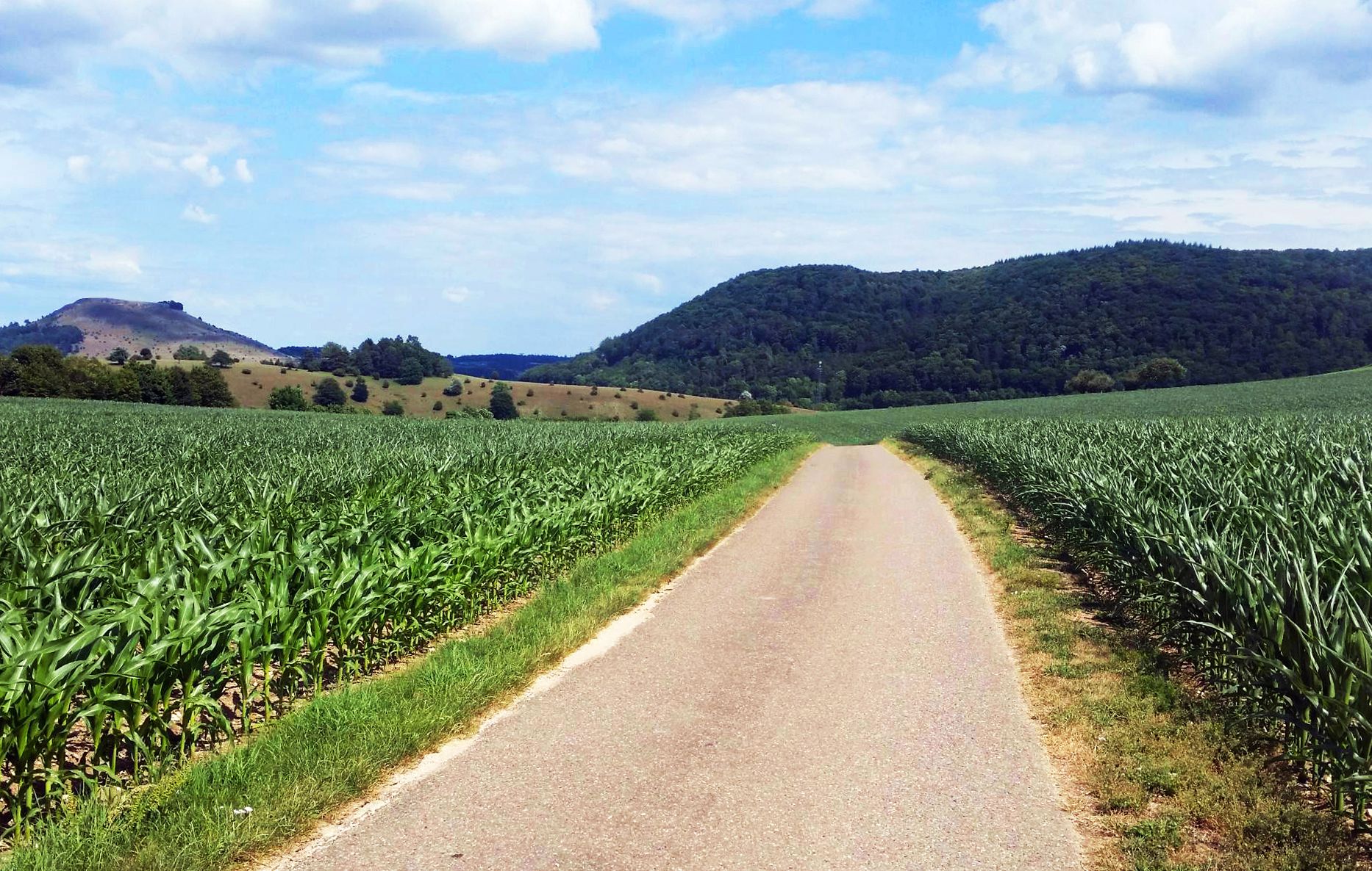
From Crater to Crater — 4 stages in the Geopark Ries and across the Swabian Alb
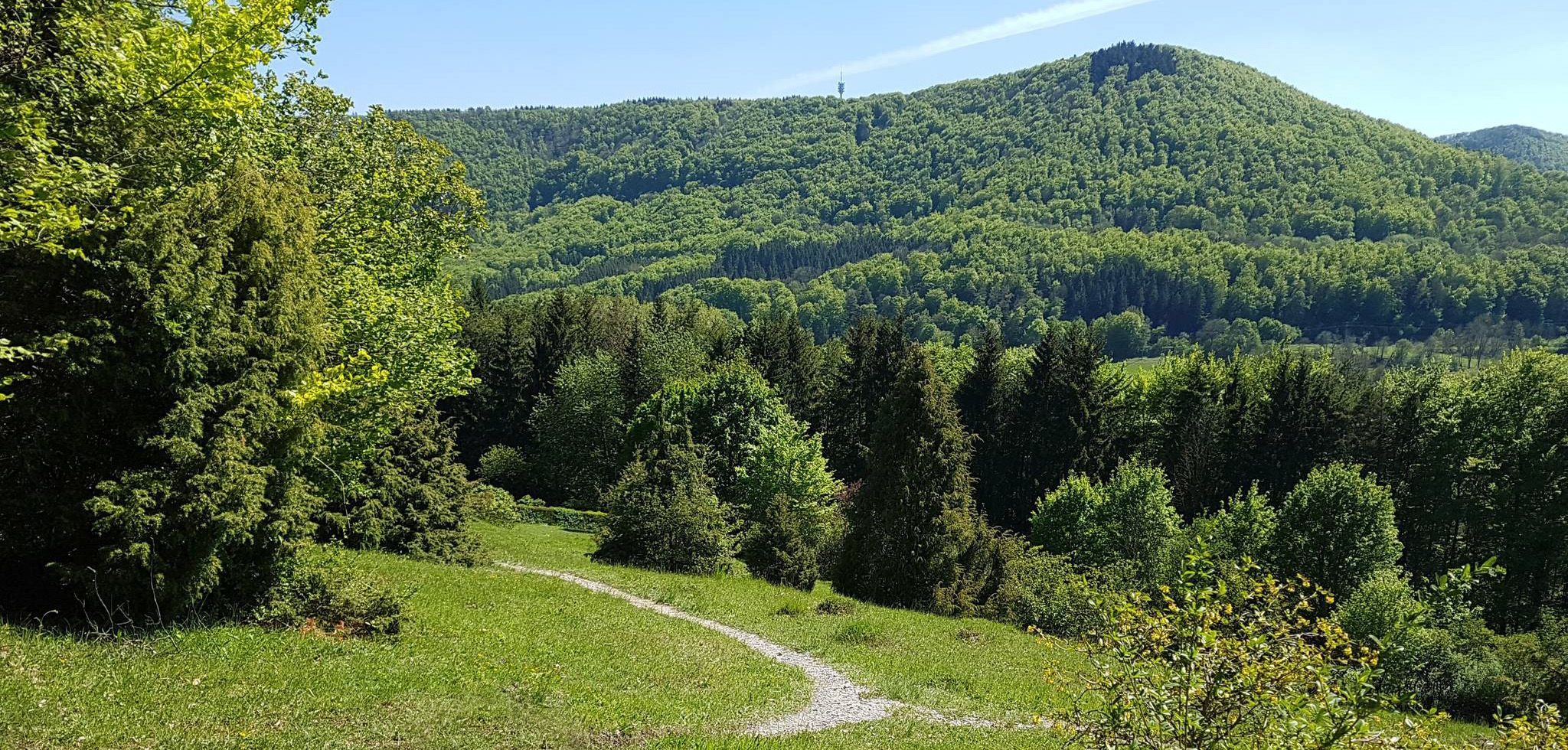
Spätzle Cross — 7 days on the Swabian Alb
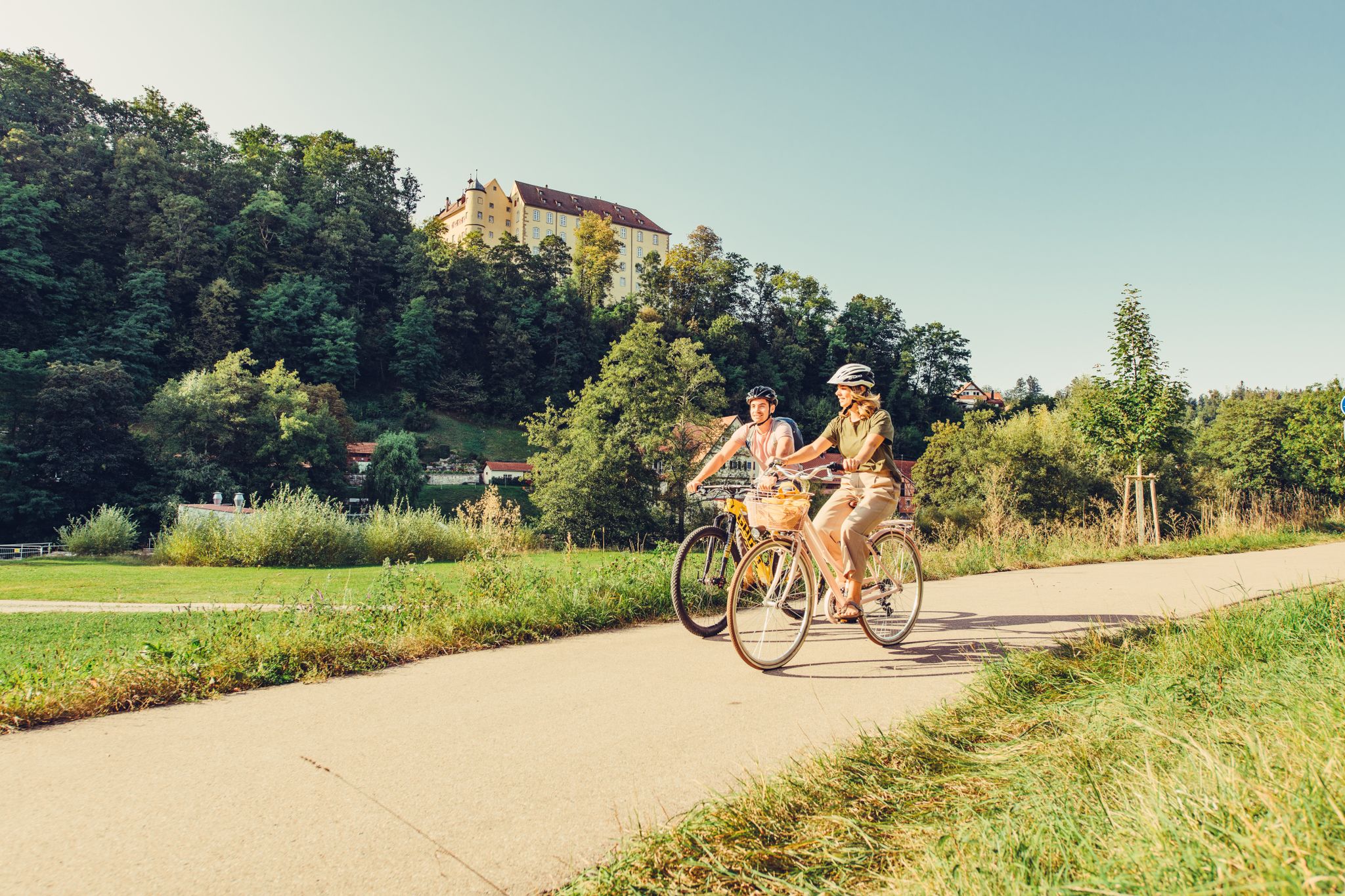
6 stages on the Kocher-Jagst cycle path through southern Germany
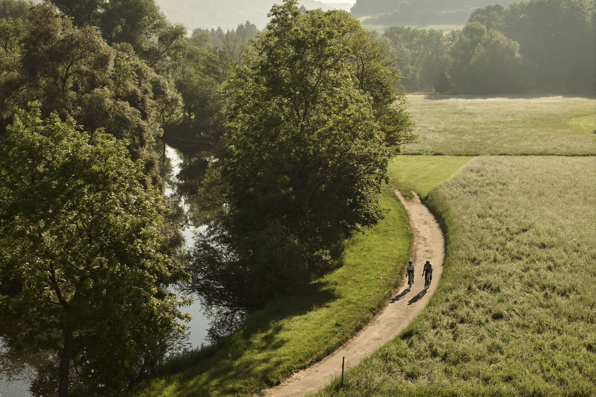
River delights & timber frames – riverside cycling in Süden ganz oben
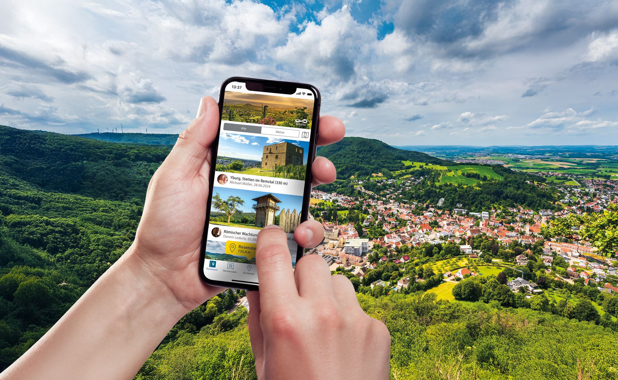
Hiking in the Remstal – digital hiking badges for real adventures
Other adventures in Ostalbkreis


Tips from the Community

On weekdays, expect to see trucks. The Furtle Pass appears to be a shortcut for the 40-tonners.
1
0

Recommendation but only for friends of pointless altitude. Ramp up, ramp down, but very nice and little traffic. Anyone who wants can drive past it.
2
0

Nice quiet side valley. No traffic. The asphalt is a bit rough but the landscape makes up for it.
0
0

Strictly speaking, the Gromberghöhe lies above the hamlet of Gromberg, but cannot be reached directly from there by racing bike. The pass is north of Gromberg between the towns of Lippach and Röttingen. The driveway from Lippach leads past the Freudenhöfe and the village of Berg on an open, winding, paved road that is extremely rarely used by motor vehicles. Source: https://www.quaeldich.de/paesse/gromberghoehe/?lang=en
4
0

Redundant highlight to highlight "Furtlespass from Degenfeld" See https://www.komoot.de/highlight/2976606
1
1

Through the upper valley of the Lauter it goes from Degenfeld with a relatively low incline in the direction of the Furtlespass. Only shortly before the end does it get a little steeper in the curves with 7%.
1
2
Very flat ascent at this point
1
0

Frequently Asked Questions
What are some notable mountain passes or elevated areas in Ostalbkreis beyond the most popular ones?
Beyond the well-known Reiterles Chapel, Ostalbkreis offers several other significant elevated areas. These include the Furtlepass (630 m), known for its genuine pass sign and less difficult ascent, and the Himmelreich–Heubach Pass Road, appreciated for its quiet side valley. The Gromberghöhe Pass (638 m) is also recognized by the komoot community for challenging climbs. Additionally, mountains like Volkmarsberg, Rosenstein, and Hohenstaufen provide pass-like experiences with climbs and panoramic views.
Which mountain passes or elevated areas in Ostalbkreis offer the best panoramic views?
For breathtaking panoramic views, consider visiting Volkmarsberg, where a 23-meter observation tower provides far-reaching vistas over the entire Ostalbkreis, and on clear days, even the distant Zugspitze. Rosenstein also offers excellent views from its summit, as does Hohenstaufen, which provides sweeping landscapes from its historic castle ruins. The Furtlepass (630 m) and Ascent to the Furtlepass from Weiler in den Bergen also feature beautiful views towards Degenfeld and the surrounding nature.
What outdoor activities can I enjoy around the mountain passes in Ostalbkreis?
The mountain passes and elevated areas in Ostalbkreis are ideal for various outdoor activities. Cycling is very popular, with routes like the Ascent to the Furtlepass from Weiler in den Bergen offering good road surfaces and steady inclines. Hiking is also a major draw, especially around Volkmarsberg, which is a nature reserve with a 2.5-kilometer path to its summit. You can find more detailed routes for different sports in the region, such as MTB Trails in Ostalbkreis, Road Cycling Routes in Ostalbkreis, and Mountain Hikes in Ostalbkreis.
Are there family-friendly options among the mountain passes or elevated areas in Ostalbkreis?
Yes, several areas are suitable for families. The Reiterles Chapel is considered family-friendly and is a popular excursion destination. Volkmarsberg, with its nature reserve status and a clear path to the summit and observation tower, is also a great option for families looking for a scenic hike. The less strenuous sections of passes like the Furtlepass (630 m), which has flat passages interrupting its ascent, can also be enjoyed by families.
What historical or cultural sites can be found near the mountain passes in Ostalbkreis?
Ostalbkreis is rich in history. The Reiterles Chapel itself is a distinctive landmark with spiritual significance. Rosenstein features the remnants of a medieval castle and caves with tools from the Paleolithic period, making it a site of historical importance. Hohenstaufen is particularly significant as the ancestral seat of the Staufer dynasty, with its castle ruins offering a glimpse into medieval history. A documentation center at its foot provides further insights into Staufer history.
What is the best time of year to visit the mountain passes in Ostalbkreis?
The best time to visit the mountain passes and elevated areas in Ostalbkreis for outdoor activities like hiking and cycling is generally from spring through autumn (April to October). During these months, the weather is typically milder, and the trails are more accessible. While winter hiking is possible, conditions can vary, and some routes may be challenging due to snow or ice. Always check local weather conditions before planning a winter visit.
Are there specific mountain passes in Ostalbkreis that are good for cycling?
Yes, several passes are popular with cyclists. The Furtlepass (630 m) is well-regarded by motorcyclists and cyclists due to its road conditions and varied ascent. The Ascent to the Furtlepass from Weiler in den Bergen offers a good road surface and a maximum incline of 10%. The Himmelreich–Heubach Pass Road is also appreciated for its quiet side valley, making it a pleasant cycling route. For more cycling options, explore Road Cycling Routes in Ostalbkreis.
What kind of terrain can I expect on the mountain passes in Ostalbkreis?
The terrain around Ostalbkreis's mountain passes is diverse, characteristic of the Swabian Jura. You can expect a mix of paved roads, suitable for road cycling, and unpaved trails for hiking and mountain biking. Ascents vary in gradient, from gentle slopes with flat passages, like parts of the Furtlepass (630 m), to steeper sections with up to 10-11% incline, such as the ascent to Himmelreich from Bargau. Many areas are forested, while others offer open views over grasslands and valleys.
Are there any easy or beginner-friendly mountain passes in Ostalbkreis?
For beginners or those seeking less strenuous routes, the Furtlepass (630 m) is a good option. Its long ascent is interrupted by flat passages, making it less difficult than some other climbs, with a maximum gradient of around ten percent. The ascent from Degenfeld to Furtles Pass also features a relatively low incline for much of the route. The Himmelreich–Heubach Passstraße has a considerably gentler gradient when ascending from Himmelreich.
What natural features are prominent around the mountain passes in Ostalbkreis?
The region is characterized by the rolling hills and forests of the Swabian Alb. Volkmarsberg is a designated nature reserve, offering protected natural beauty. Many passes, like the Ascent to the Furtlepass from Weiler in den Bergen, wind through beautiful natural landscapes. You'll encounter forests, grasslands, and unique geological formations typical of the Swabian Jura, providing a rich environment for flora and fauna.
Can I find places to eat or stay near the mountain passes in Ostalbkreis?
Yes, there are options for refreshments and accommodation. Near the Furtlepass (630 m), you can find the Hornberg mountain restaurant. The towns and villages surrounding the passes, such as Heubach, Waldstetten, and Aalen, offer various cafes, pubs, and accommodation options ranging from guesthouses to hotels, catering to visitors exploring the region.
Is public transport available to access the mountain passes in Ostalbkreis?
While direct public transport to the very summit of every pass might be limited, the towns and villages at the base of these elevated areas are generally accessible by public transport. From these points, you can often start your hike or cycle tour. It's advisable to check local bus and train schedules for specific routes and connections to the starting points of your chosen pass or mountain.
Most popular routes in Ostalbkreis
Most popular attractions in Ostalbkreis

Get inspired with the komoot mobile app


Didn’t find what you were looking for?
Find even more amazing mountain passes in Ostalbkreis organized by region:
Explore more
See even more epic mountain passes by checking out these guides in Ostalbkreis:
