The best gravel rides around Meurcé
4.0
(4)
22
riders
5
rides
Gravel biking around Meurcé offers access to the diverse landscapes of the Sarthe department in north-western France. The region features a mix of forest tracks, picturesque rural roads, and paths alongside the Sarthe river, providing varied terrain for cyclists. Notable natural features include the extensive Perseigne Forest, part of the Normandie-Maine Regional Nature Park, and the unique "falun" tracks made from compacted white limestone. The Sarthe department is known for its extensive network of trails, making it suitable for off-road…
Last updated: May 23, 2026
4.0
(2)
6
riders
62.6km
03:51
430m
430m
Moderate gravel ride. Good fitness required. Mostly paved surfaces. Suitable for all skill levels.
4
riders
148km
09:12
1,710m
1,720m
Hard gravel ride. Very good fitness required. Mostly paved surfaces. Suitable for all skill levels.

Sign up for free
4.0
(2)
5
riders
Moderate gravel ride. Good fitness required. Mostly paved surfaces. Suitable for all skill levels.
3
riders
18.6km
01:07
80m
80m
Easy gravel ride. Great for any fitness level. Mostly paved surfaces. Suitable for all skill levels.
1
riders
27.0km
01:43
210m
210m
Moderate gravel ride. Good fitness required. Mostly paved surfaces. Suitable for all skill levels.
Our route recommendations are based on thousands of hikes, rides, and runs completed by other people on komoot.
Start today with a free account
Your next adventure awaits.
Login or Signup

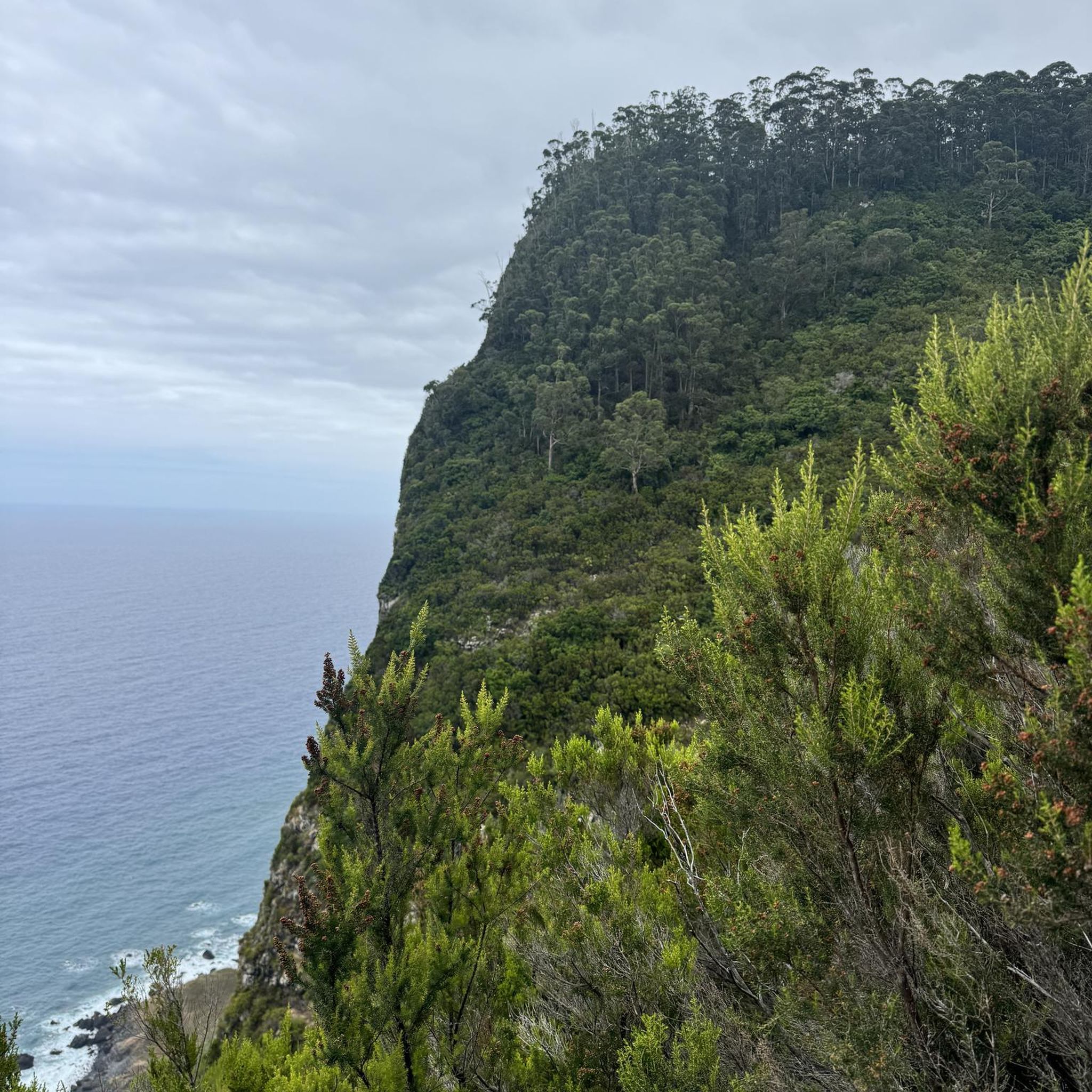
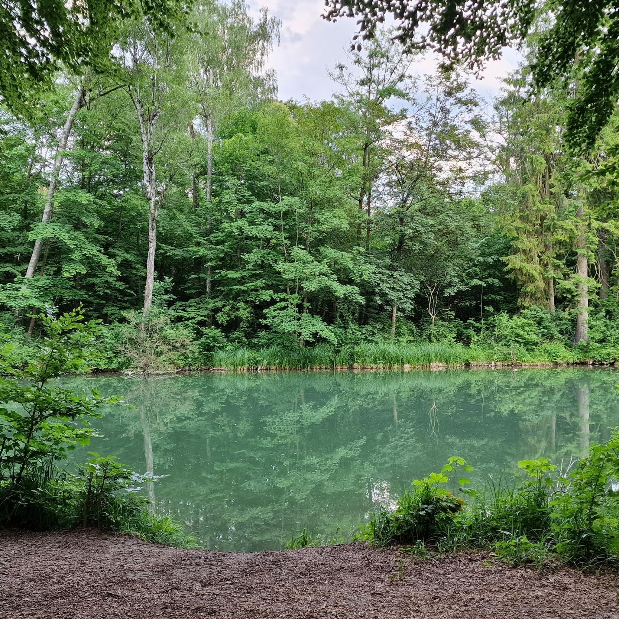
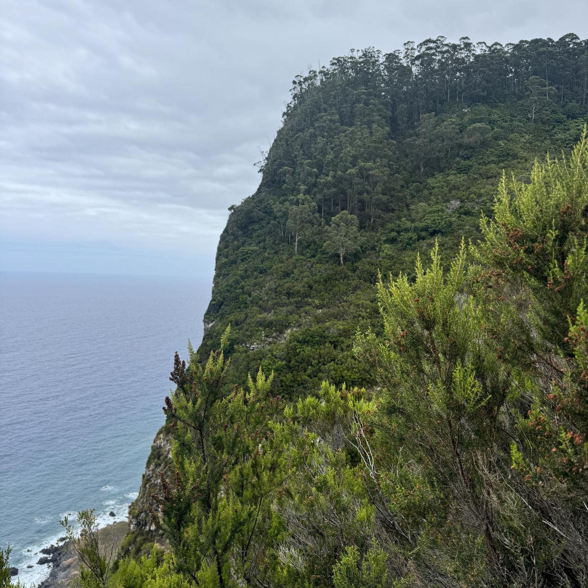
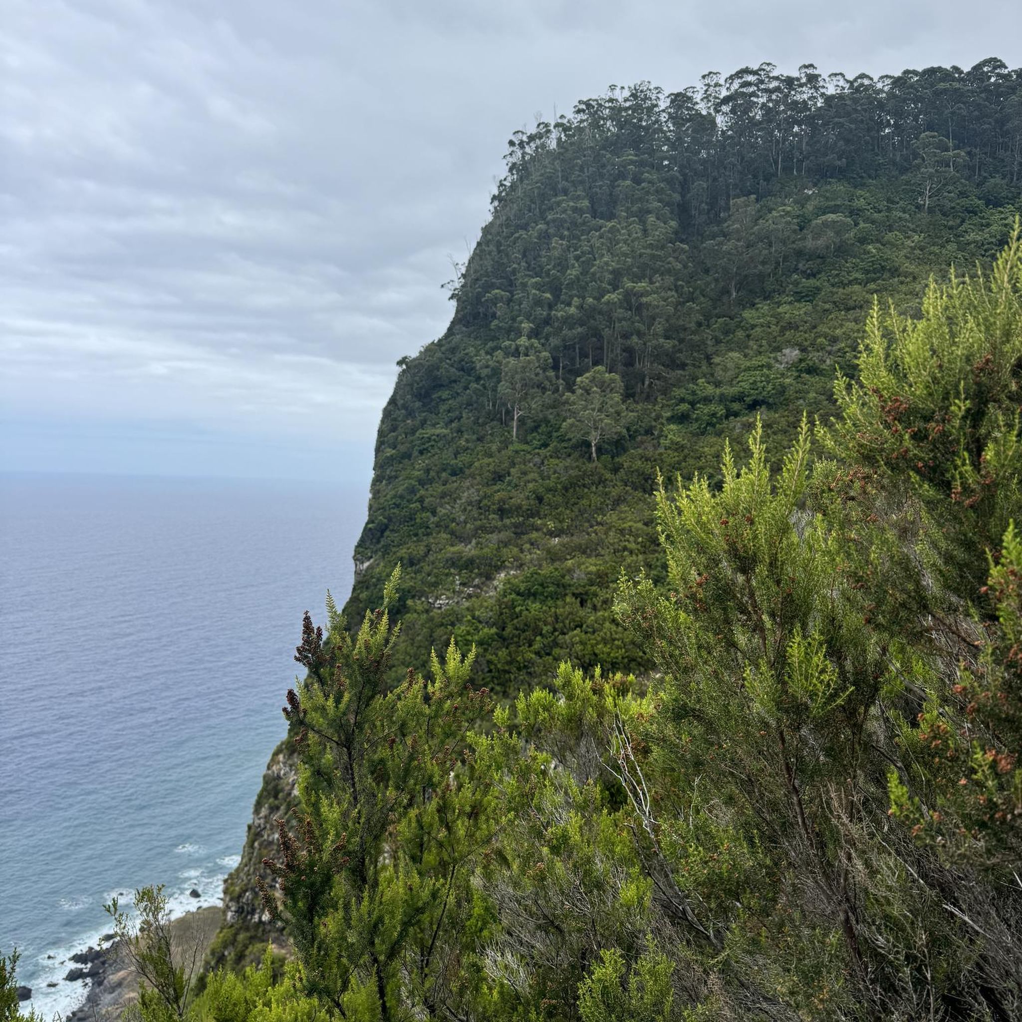
Tips from the Community

Very pretty place, nicely designed. Unfortunately, it's overcrowded with tourists. Perhaps a good stop on a hike.
0
0
Riding up there by bike was quite strenuous, but the view from the top was worth the effort. It was well worth it.
0
0

The place is picturesque and ideal for a picnic break.
0
0

Nice route, fairly flat and rolling with lovely quiet country roads on the way back
0
0
Nice and very useful for crossing the river
0
0
From one shore to the other
0
0

very varied and pleasant hike
0
0

2 perforations visible on the 12th photo of the Sherman M4A2 "Valois"
0
0
Frequently Asked Questions
What kind of terrain can I expect on gravel bike trails around Meurcé?
The Meurcé area, situated in the Sarthe department, offers a varied gravel biking experience. You'll find a mix of forest tracks, picturesque rural roads, and paths alongside the Sarthe river. A unique feature of the region is its “falun” tracks, which are made from compacted white limestone, providing a distinct gravel surface. The extensive Perseigne Forest also offers both wide, rolling gravel trails and more technical single tracks.
Are there any easy gravel bike routes suitable for beginners or families in Meurcé?
Yes, there are options for easier rides. The Pont de Montbizot – Saint Martin Church loop from Montbizot is an easy 18.6 km (11.5 miles) trail with minimal elevation gain, leading through local villages and along the Sarthe river. This route is often completed in about 1 hour 20 minutes, making it suitable for a more relaxed outing.
What are some longer or more challenging gravel routes in the Meurcé region?
For those seeking a longer and more challenging ride, the Saint-Léonard-des-Bois – Saint-Céneri-le-Gérei loop from La Hutte - Coulombiers is a difficult 150.7 km (93.6 miles) route with significant elevation gain, offering a substantial adventure. A moderate option is the Etang de la bazoge – Joli chemin de terre loop from Montbizot, which covers 62.9 km (39.0 miles) and explores the local countryside with a mix of forest and open sections.
What natural features or viewpoints can I discover while gravel biking near Meurcé?
The region is rich in natural beauty. The Perseigne Forest, part of the Normandie-Maine Regional Nature Park, is a significant feature. Within this forest, you can find the Belvédère de Perseigne, the highest point in Sarthe, offering panoramic views. Meurcé itself is home to a towering giant sequoia tree, visible from a distance. The Sarthe department is also characterized by its numerous rivers and streams, providing picturesque scenery along many cycling paths.
Are there any historical sites or attractions to see along the gravel routes?
Yes, the area around Meurcé boasts several historical and architectural points of interest. You might encounter the impressive Donjon de Ballon, a medieval keep, or the historic Beaumont-sur-Sarthe Roman Bridge. The charming village of René, with its Les Halles de René, also offers a glimpse into the region's past.
What do other gravel bikers say about the trails in Meurcé?
The gravel biking routes around Meurcé are highly rated by the komoot community, with an average score of 4.0 stars from several reviews. Users often praise the varied terrain, which includes forest tracks, rural roads, and river paths, catering to different ability levels. The unique “falun” tracks are also a frequently mentioned highlight.
Are there any circular gravel bike routes available in Meurcé?
Yes, many of the gravel routes around Meurcé are designed as loops, allowing you to start and finish in the same location. Examples include the moderate Aire et plage du Vieux Moulin – Footbridge over the Sarthe loop from Montbizot, which is 41.2 km (25.6 miles) long, and the NOTRE-DAME DES CHAMPS loop from Saint-Marceau, a 27.0 km (16.8 miles) moderate route.
What is the best time of year for gravel biking in Meurcé?
The Sarthe department, with its extensive woodlands, offers pleasant conditions for gravel biking through much of the year. Spring and autumn generally provide mild temperatures and beautiful scenery, with changing foliage in the forests. Summer can also be enjoyable, especially on shaded forest tracks. It's always advisable to check local weather conditions before heading out.
How many gravel bike trails are available around Meurcé?
There are over 4 gravel bike trails documented around Meurcé, offering a range of distances and difficulties to suit various preferences and skill levels.
Are there any specific types of gravel surfaces to be aware of in Meurcé?
Yes, a distinctive feature of the region's gravel trails is the presence of “falun” tracks. These are made from compacted white limestone, offering a unique and generally firm riding surface. Beyond these, you'll encounter typical forest tracks and rural dirt roads.
Most popular attractions around Meurcé

Get inspired with the komoot mobile app


Explore more
Browse the best Gravel rides in other regions.
