The 7 Most Amazing Peaks around Hildisrieden
Best mountain peaks around Hildisrieden, a municipality in the canton of Lucerne, are found in the surrounding region. Hildisrieden is characterized by agricultural and forested land, situated at an elevation of 685 meters. While prominent mountain peaks are not directly within its borders, the vicinity offers elevated areas and viewpoints popular for scenic views and recreational opportunities. The region provides mountainous experiences for visitors seeking hiking and scenic routes, particularly offering panoramic views of the distant Alps.
Best mountain peaks…
Last updated: August 16, 2026
Rothenburg Town Center
Highlight • Settlement
Canton of Lucerne.
The municipality is part of the agglomeration of the city of Lucerne and west of the …
Translated by Google •
Tip by

Mosen Railway Station
Highlight • Rest Area
Translated by Google •
Tip by

Sign up now to discover places like this
Get recommendations on the best single tracks, peaks, & plenty of other exciting outdoor places.
Sign up for free
Stiefeliryter Inn and Open-Air Museum, Hämikerberg
Highlight • Restaurant
Translated by Google •
Tip by

St. Martin Church and Festive Arch, Müswangen
Highlight • Religious Site
Translated by Google •
Tip by

Blosenberg Rest Area with Views of the Beromünster Transmitter
Highlight • Viewpoint
Translated by Google •
Tip by

Sign up for free to discover even more peaks around Hildisrieden.
Sign up for free
Already have an account?
Start today with a free account
Your next adventure awaits.
Login or Signup
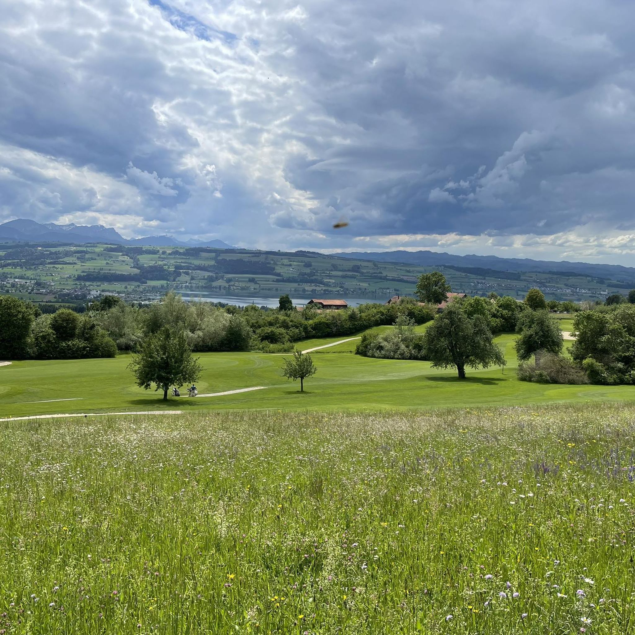
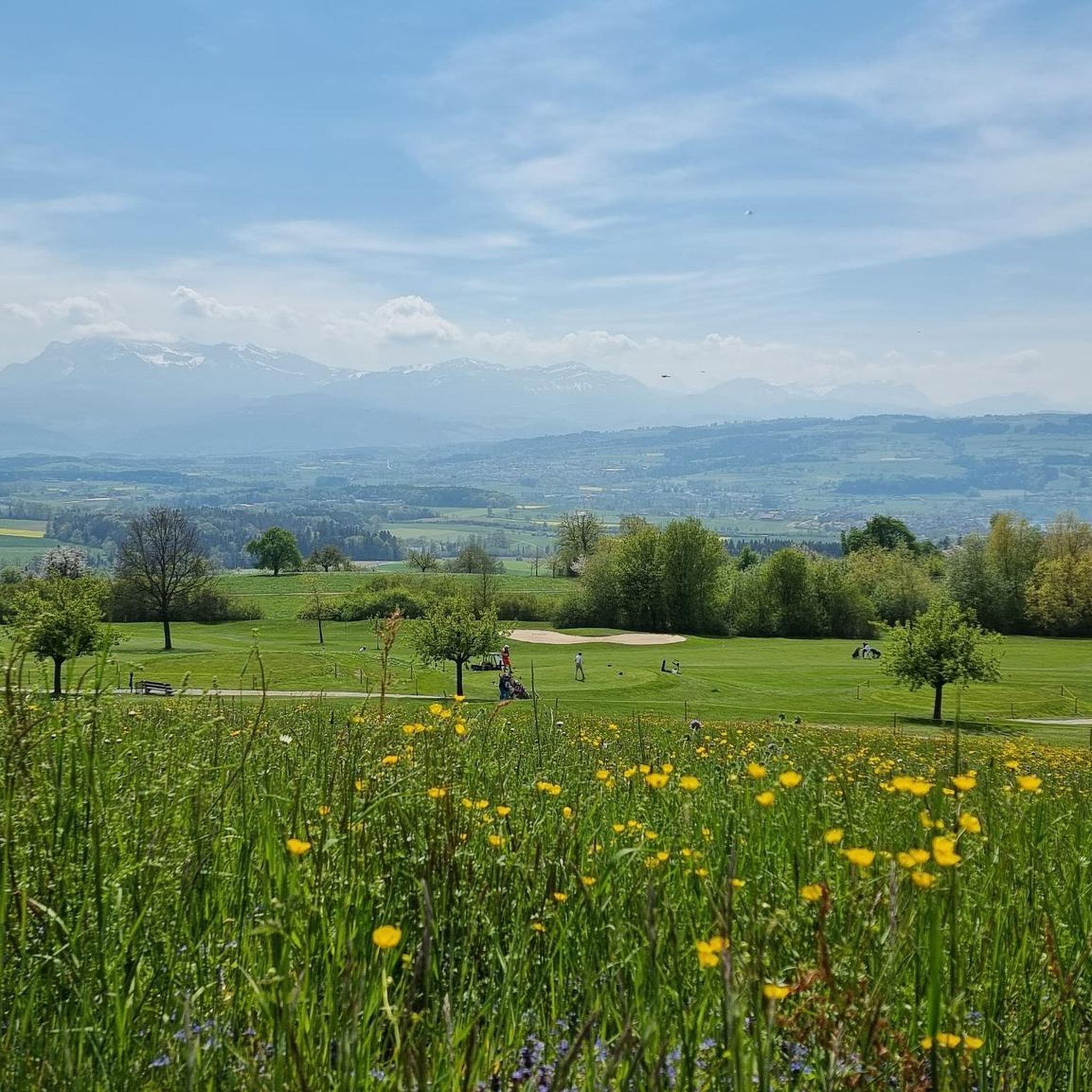
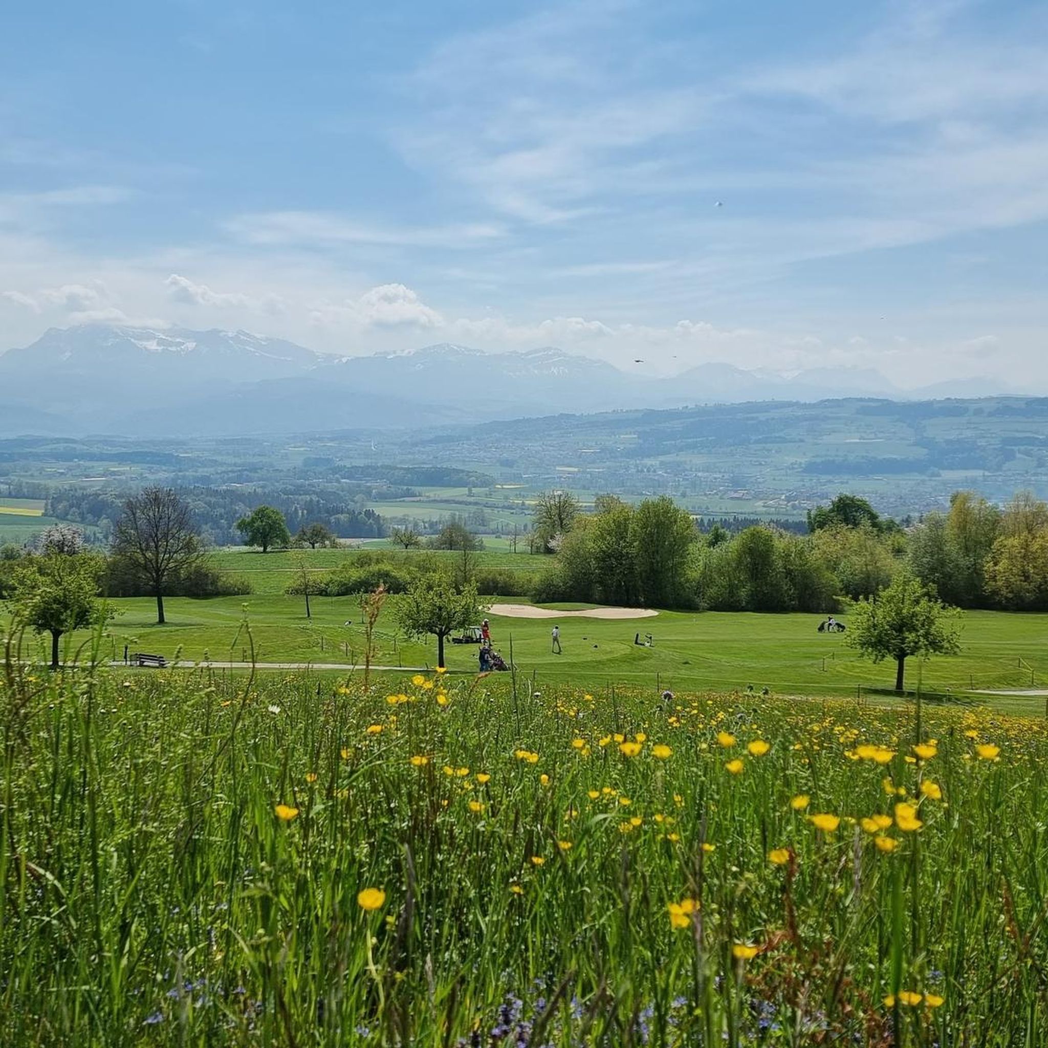

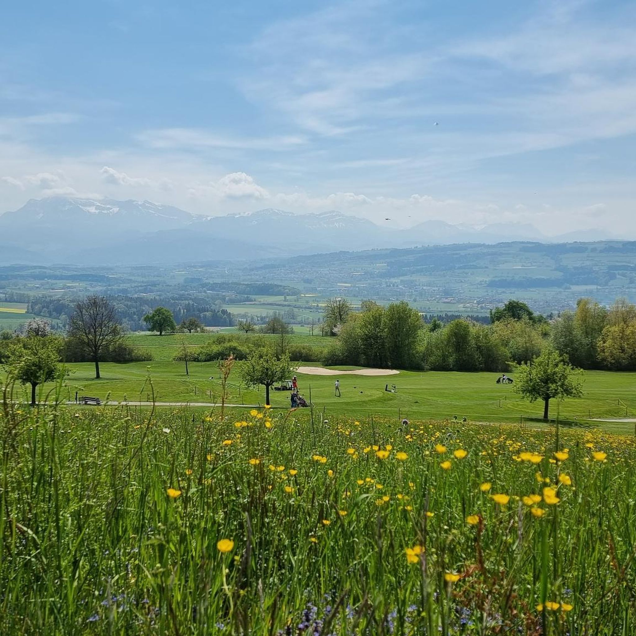
Tips from the Community

Great barbecue area for resting with a great view, accessible by car
0
0

Ideal starting point for many activities in the Hallwilersee/Baldeggersee region. E.g. excursion to Beinwil, access to the Freiämterweg, scheduled boat Hallwilersee...
0
0

Located right next to the campsite and the swimming pool. Is a good starting point for a tour of the lake.
0
0

Müswangen is wonderfully situated below the Lindenberg and with a view of the Hallwilersee and the Baldeggersee. If you drove through on May 13th you can still see the beautiful jewelry across the street of the driveway procession.
1
0

The whole lake circuit is great. Time flies by because there is always something to see and the whole route is so varied. We were particularly impressed by the section where the forest really extends to the lake shore. There's a great atmosphere there and it's nice and cool. The trees stand with their roots in the water. Some of them have already dumped into the lake and found new hold with the branches and formed new roots. Beautiful in all seasons and can always be shortened by train or ship. The S-Bahn runs about once an hour and not quite as far as Hallwil Castle, you have to change to the bus. The castle can be reached more quickly on foot than waiting for the bus. If you want to take a short cut with the ship, be sure to follow the course plan, because the ship does not sail in all seasons and in all weather conditions. More at: schifffahrt-hallwilersee.ch
1
0

From here you can reach many beautiful destinations. Circumnavigation of Lake Hallwil approx. 22 kilometers. Or Baldeggersee to Hitzkirch. But also over the western hill Sempach, Suraee or Reinach (AG).
0
0

Has already been there by bike and also for hiking. Recommendation: http://www.beromuenster-radioweg.ch/ very amusing.
0
0

Rothenburg is a municipality in the constituency Hochdorf of the Swiss Canton of Lucerne. The municipality is part of the agglomeration of the city of Lucerne and west of the A2 for the most part industrial area. The southern boundary of the municipality to Emmen runs along the Hellbühler Rotbachs for a few kilometers, from there to the Rothenburgerwald and along the Rütibächli, which opens from the left into the Waldibach. This forms in a left loop the east and north border to the castle forest, whose southern part belongs to Rothenburg. In this forest, the municipal boundary leads to the north, but still turns west there to Sandblattenwald southwest of Rain. Then it goes southwest back to the industrial area on the A2. At the municipal border to Neuenkirch in the northwest lies the Bertiswilerwald. The municipality consists of the village north of the Hellbühler Rotbachs and the opening into it Butzibachs with different quarters. The largest of these is Bertiswil. In addition to the area west of the A2, there are only groups of houses and individual farms. Of the municipal area of 1552 ha, more than two thirds (67.8%) are used for agriculture. One sixth (16.6%) is covered by forest and woodland and 15.5% is settlement area. Rothenburg borders Emmen, Eschenbach LU, Neuenkirch and Rain. The first indirect mention was the community around 1130, as a document in a Walther von Rodemburg appears. The barons of Rothenburg were one of the most powerful and belligerent families in the region and maintained intensive hostility to Lucerne.
2
0
Frequently Asked Questions
What are some popular viewpoints or elevated areas to visit around Hildisrieden?
One of the most popular spots is the Blosenberg Rest Area with Views of the Beromünster Transmitter, which offers extensive views in all directions and includes barbecue facilities. While Hildisrieden itself doesn't have prominent peaks, the surrounding region, part of the mountainous canton of Lucerne, provides elevated areas like Studberg, known for its wide views encompassing the Eigental and Pilatus.
Are there family-friendly elevated spots or attractions near Hildisrieden?
Yes, several spots are suitable for families. The Blosenberg Rest Area is family-friendly and wheelchair accessible, offering views and barbecue facilities. The Rothenburg Town Center and Stiefeliryter Inn and Open-Air Museum, Hämikerberg also cater to families, with the latter featuring Switzerland's first game golf facility.
What historical or cultural sites can I explore near the elevated areas of Hildisrieden?
You can visit the Rothenburg Town Center, a municipality with historical significance dating back to around 1130. The Stiefeliryter Inn and Open-Air Museum, Hämikerberg is a cultural center that started as a Hippotel and now includes an open-air museum. Additionally, the St. Martin Church and Festive Arch, Müswangen is a notable religious building and man-made monument.
What kind of hiking trails are available around Hildisrieden's elevated areas?
The region offers a variety of hiking trails. You can find easy routes like the 7 km 'View of the Alps – Clown Statues on Bench loop' or the 4.6 km 'Gormund Chapel and Golf Course loop'. For more moderate challenges, consider the 10 km 'View of the Central Swiss Alps – Vogelmoosweiher loop'. You can explore more options on the Hiking around Hildisrieden guide.
Beyond hiking, what other outdoor activities can I do near the peaks around Hildisrieden?
Besides hiking, the area is great for gravel biking and running. For gravel biking, you can find challenging routes like the 51 km 'Good natural trail – Cycle and footpath loop from Hochdorf Schönau'. Runners can enjoy moderate trails such as the 5.7 km 'Traselingerwald loop'. Discover more routes in the Gravel biking around Hildisrieden and Running Trails around Hildisrieden guides.
How can I access the elevated areas and trails around Hildisrieden using public transport?
While Hildisrieden itself is primarily agricultural, public transport options exist to reach nearby areas. The Mosen Railway Station serves as a good starting point for tours around Lake Hallwil and other destinations, offering connections that can be combined with bus services or walks to reach trailheads.
What are the best times of year to visit the elevated areas and trails near Hildisrieden?
The region around Hildisrieden, being part of the canton of Lucerne, generally offers pleasant conditions for outdoor activities from spring through autumn. Spring brings blooming landscapes, while summer is ideal for longer days and warmer weather. Autumn provides beautiful foliage. Winter hiking is also possible on designated trails, but conditions can vary, so checking local weather is always recommended.
Are there any specific natural features or landmarks to look out for on the trails?
Yes, beyond the panoramic views from spots like Blosenberg, you'll encounter diverse natural landscapes. The region features extensive forests and agricultural land. When exploring nearby lakes like Hallwilersee, you might see sections where forests extend to the lake shore, with trees rooted in the water, creating a unique atmosphere.
Where can I find places to eat or stay near the mountain peaks around Hildisrieden?
The Stiefeliryter Inn and Open-Air Museum, Hämikerberg is a restaurant and cultural center that can serve as a dining option. While Hildisrieden is a smaller municipality, the broader Lucerne region offers various cafes, pubs, and accommodation options, particularly in larger towns accessible from the area.
What do visitors enjoy most about the elevated areas and trails around Hildisrieden?
Visitors particularly appreciate the extensive views offered from various viewpoints, such as the Blosenberg Rest Area. The variety of landscapes, from agricultural fields to forests, and the accessibility of different types of trails for hiking, biking, and running are also highly valued. The combination of natural beauty and historical sites provides a diverse experience.
Are there any easy mountain hikes suitable for beginners near Hildisrieden?
While Hildisrieden itself doesn't have 'mountain' peaks in the traditional sense, there are easy elevated walks and hikes in the surrounding area. For example, the 'View of the Alps – Clown Statues on Bench loop' from Hildisrieden is an easy 7 km hike, and the 'Gormund Chapel and Golf Course loop' is an easy 4.6 km option, both offering gentle terrain and scenic views.
Can I bring my dog on the hiking trails around Hildisrieden?
Many trails in the region are dog-friendly, but it's always advisable to check local regulations regarding leash rules, especially in nature reserves or agricultural areas. Generally, keeping your dog on a leash is recommended to protect wildlife and respect other trail users and livestock.
Most popular routes around Hildisrieden
Most popular attractions around Hildisrieden

Get inspired with the komoot mobile app


Explore more
See even more amazing summits around Hildisrieden with these guides:
