The best road cycling routes around Lalling
4.6
(156)
2,428
riders
128
rides
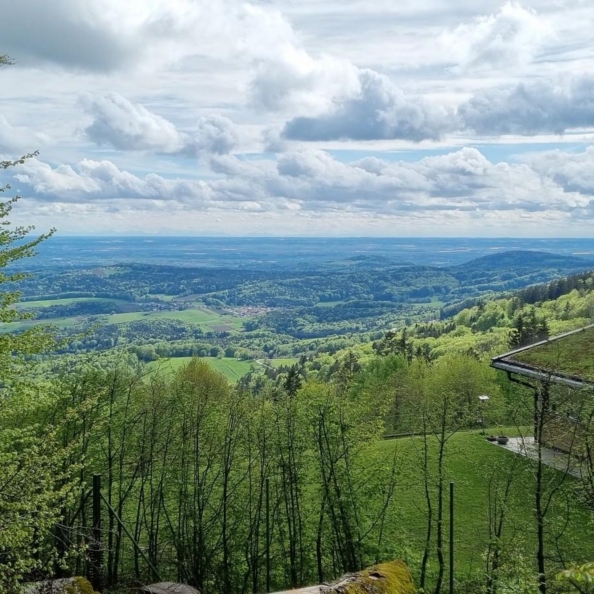
Road cycling around Lalling is characterized by its location at the edge of the Bavarian Forest, offering a diverse topography of rolling hills and scenic routes. The region features varied terrain suitable for road cyclists seeking both challenging ascents and gentler rides. This area provides a mix of landscapes, from forested paths to open stretches, making it a destination for varied road cycling experiences.
Best road cycling routes around Lalling
- The most popular road cycling route is Drinking Water Fountain…
Last updated: May 9, 2026
5.0
(4)
53
riders
51.0km
02:12
390m
390m
Moderate road ride. Good fitness required. Mostly well-paved surfaces and easy to ride.
5.0
(6)
15
riders
32.9km
01:50
680m
680m
Moderate road ride. Good fitness required. Mostly well-paved surfaces and easy to ride.

Sign up for free
13
riders
73.7km
03:43
1,090m
1,090m
Hard road ride. Very good fitness required. Some segments of this route may be unpaved and difficult to ride.
3.8
(5)
9
riders
28.4km
01:42
670m
680m
Moderate road ride. Good fitness required. Mostly well-paved surfaces and easy to ride.
3.0
(1)
9
riders
37.0km
01:33
210m
210m
Easy road ride. Great for any fitness level. Mostly well-paved surfaces and easy to ride.
Get access to more routes and recommendations from other explorers.
Sign up for free
Already have an account?
Our route recommendations are based on thousands of hikes, rides, and runs completed by other people on komoot.
Start today with a free account
Your next adventure awaits.
Login or Signup
Popular around Lalling





Tips from the Community

Zwiesel Station: Your gateway to beer culture on two wheels. From here, you can cycle directly into the Lower Bavarian beer region and the Bohemian Forest adventure region. The Waldbahn (Forest Railway) will take you and your bike comfortably, so you can start your journey relaxed. Perfect for anyone who wants to set off on their bike without any stress. www.laenderbahn.com/waldbahn/fahrplan/streckennetz
0
0
Hunding, a gold rush village steeped in history. Here you'll drive through a village with a glittering past: Hunding has been documented as a gold mining town since 1562. A fascinating historical moment in the Lallinger Winkel region – perhaps the gold still sparkles in the stream today. www.lallingerwinkel.de/hunding
0
0
Along the Hengersberger Ohe river, you'll cycle along a quiet riverside path past meadows and sparkling water. A beautiful, relaxing way to bypass the town.
0
0
Pizzeria Cafe Dolomiti, the stone oven stop. Crispy stone-baked pizza and a cold beer make this stop particularly worthwhile after a few meters of elevation gain. The terrace invites you to continue your leisurely ride through the Zwiesel region.
0
0


Zwiesel station is far more than a transport hub – it is a symbol of regional solidarity, mobility, and history. Since its opening in 1877, it has shaped the town in the Bavarian Forest and connected it to the world. With its four platform tracks and its function as a junction station, Zwiesel is the center of the so-called "Zwieseler Spider," a rail network that leads in all directions. Between 2006 and 2013, the station was extensively modernized, and a new island platform with barrier-free access was built. The platform heights were raised to 55 cm to allow for level access. The "Zwiesel" platform canopy was first installed here and was later used at other stations. The station is centrally located at Bahnhofsplatz 3, just a few minutes' walk from the town center and the famous glass pyramid. It is the starting point for hikes, bike tours, and excursions into the Bavarian Forest National Park – a true mobility anchor for locals and tourists. Zwiesel train station is not an anonymous transit point, but a living part of the city's history. It connects people, places, and times – and demonstrates how infrastructure can merge with identity. Those who arrive here sense that the journey doesn't begin on the train, but rather on the platform. https://www.bayerischer-wald.de/attraktion/bahnhof-zwiesel-81950df0d6
2
0

Interesting glass artworks around the Glass Museum. It's amazing what can be created from this fragile material.
1
0
impressive, especially when the sun's rays play with the glass
0
0
Frequently Asked Questions
How many road cycling routes are available around Lalling?
There are over 130 road cycling routes around Lalling, offering a wide variety of options for different skill levels. You can find 19 easy routes, 79 moderate routes, and 32 difficult routes to explore.
What kind of terrain can I expect when road cycling in Lalling?
Lalling is situated at the edge of the Bavarian Forest, so you can expect a diverse topography. Routes feature rolling hills, scenic ascents, and varied landscapes, from forested paths to open stretches. The region offers a mix of challenging climbs and gentler rides.
Are there road cycling routes suitable for beginners in Lalling?
Yes, Lalling offers 19 easy road cycling routes perfect for beginners or those looking for a more relaxed ride. These routes typically have less elevation gain and cover shorter distances, allowing you to enjoy the scenery at a comfortable pace. An example is the Basilica of Niederalteich – Winzer Castle Ruins loop from Schaufling, Abzw.
What about challenging routes for experienced road cyclists?
For experienced road cyclists seeking a challenge, Lalling has 32 difficult routes. These often include significant elevation gains and longer distances. A notable challenging route is the Zwiesel Train Station – Spiegelhütte loop from Todtenau und umgebende Auen, which covers 45.8 miles (73.7 km) with over 1,000 meters of elevation gain.
What scenic viewpoints or landmarks can I see while road cycling in Lalling?
Road cycling routes around Lalling offer access to several scenic viewpoints and landmarks. You can cycle towards the Brotjacklriegel Summit and Observation Tower for panoramic views of the Bavarian-Bohemian Border Ridge and the Danube plain. Other points of interest include the unique Oberbreitenau Raised Bog with its rare plants, and the Deggendorf Old Town.
Are there any unique natural features to explore on a road bike?
Absolutely. Beyond the general beauty of the Bavarian Forest, you can explore the Oberbreitenau Raised Bog, a natural monument known for its unique botanical interest, including rare plants like the Charlemagne Scepter. While the bog itself has gravel paths, the surrounding varied trails can be incorporated into road cycling routes.
What is the best time of year for road cycling in Lalling?
The best time for road cycling in Lalling is typically from spring through autumn. During these seasons, the weather is generally mild, and the landscapes are vibrant. While specific weather conditions can vary, avoiding the winter months is advisable due to snow and ice, which can make road cycling challenging.
Is parking available for cyclists near the routes?
Yes, parking is generally available in and around Lalling, particularly at trailheads or in village centers, providing convenient access to the road cycling routes. Specific parking information can often be found on individual route pages on komoot.
Can I reach the road cycling routes using public transport with my bike?
Public transport options, such as regional trains and buses, serve the Lalling area. Many services allow bikes, though it's always recommended to check the specific operator's policies and any potential restrictions or fees for bike transport in advance, especially during peak times.
Are there cafes or accommodation options for cyclists in Lalling?
Lalling and its surrounding villages offer various cafes, pubs, and accommodation options that cater to visitors. You'll find places to refuel with local cuisine or stay overnight, making it easy to plan multi-day cycling trips or simply enjoy a break during your ride.
Are there family-friendly road cycling routes in Lalling?
While road cycling is generally more suited for older children and adults, Lalling does offer easier routes that could be considered family-friendly, especially if your family is comfortable with road biking. Look for the 19 routes marked as 'easy' on komoot, which typically have gentler gradients and shorter distances.
Are road cycling routes in Lalling dog-friendly?
Road cycling routes are generally not ideal for dogs, especially for longer distances or on paved surfaces, as it can be hard on their paws and joints. If you wish to bring your dog, consider shorter, very easy routes and ensure they are well-trained to run alongside a bike or can be safely carried in a specialized bike trailer. Always prioritize your dog's safety and comfort.
What do other road cyclists say about the routes in Lalling?
The road cycling routes in Lalling are highly rated by the komoot community, with an average score of 4.6 stars from over 140 reviews. More than 2,300 road cyclists have used komoot to explore Lalling's varied terrain, often praising the diverse landscapes and the mix of challenging and moderate rides available.
Most popular routes around Lalling
Most popular attractions around Lalling

Get inspired with the komoot mobile app


Explore more
Browse the best Road cycling routes in other regions.
