The best gravel rides around Dólar
33
riders
6
rides
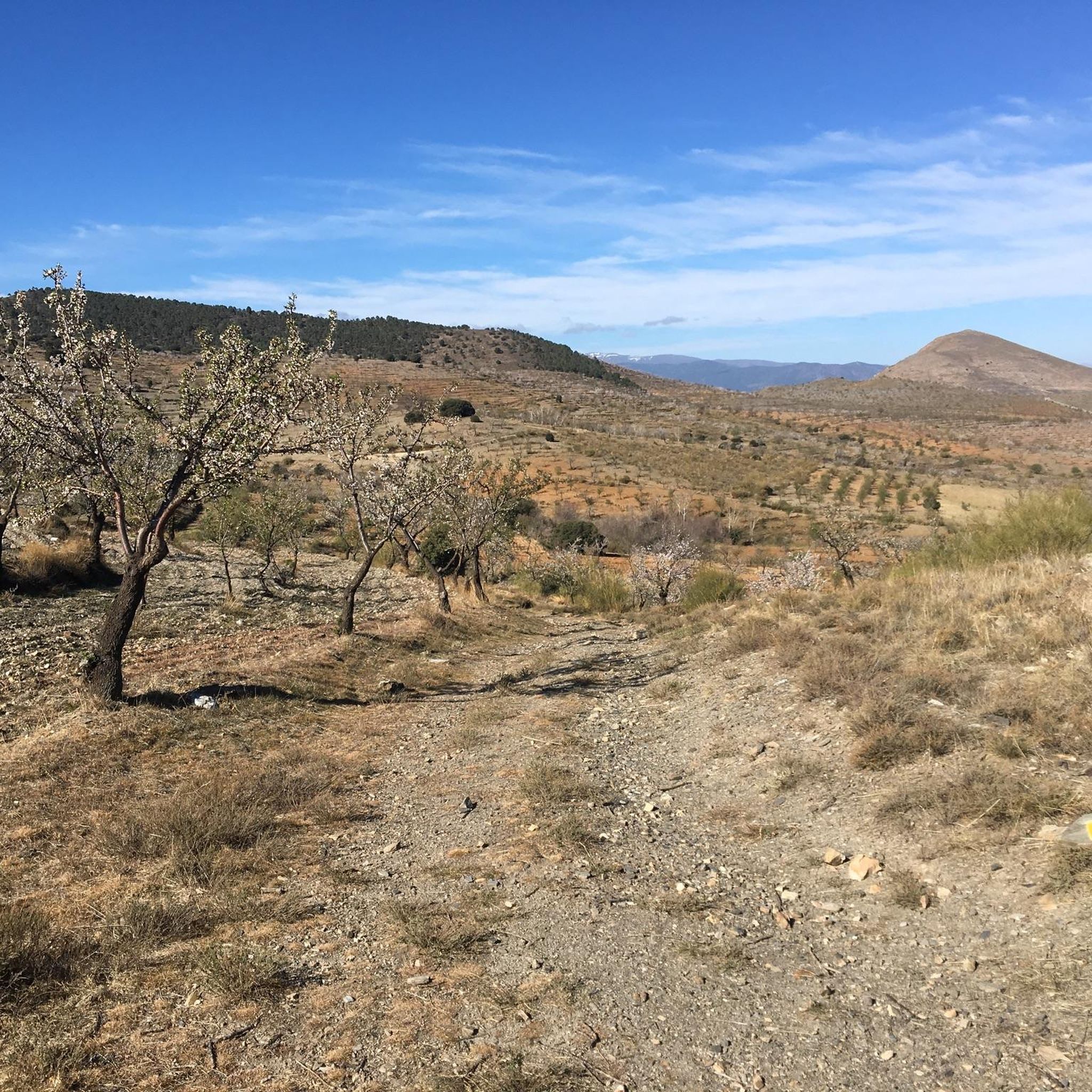
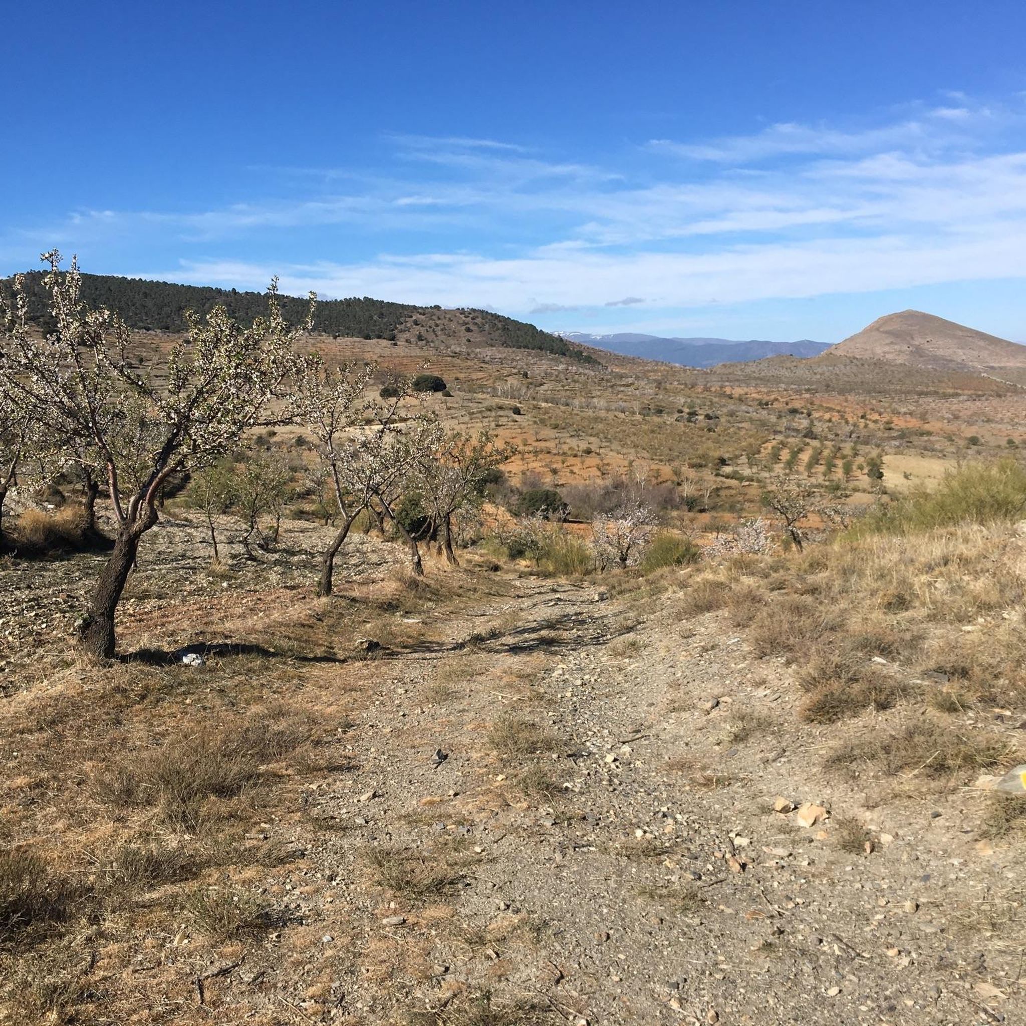
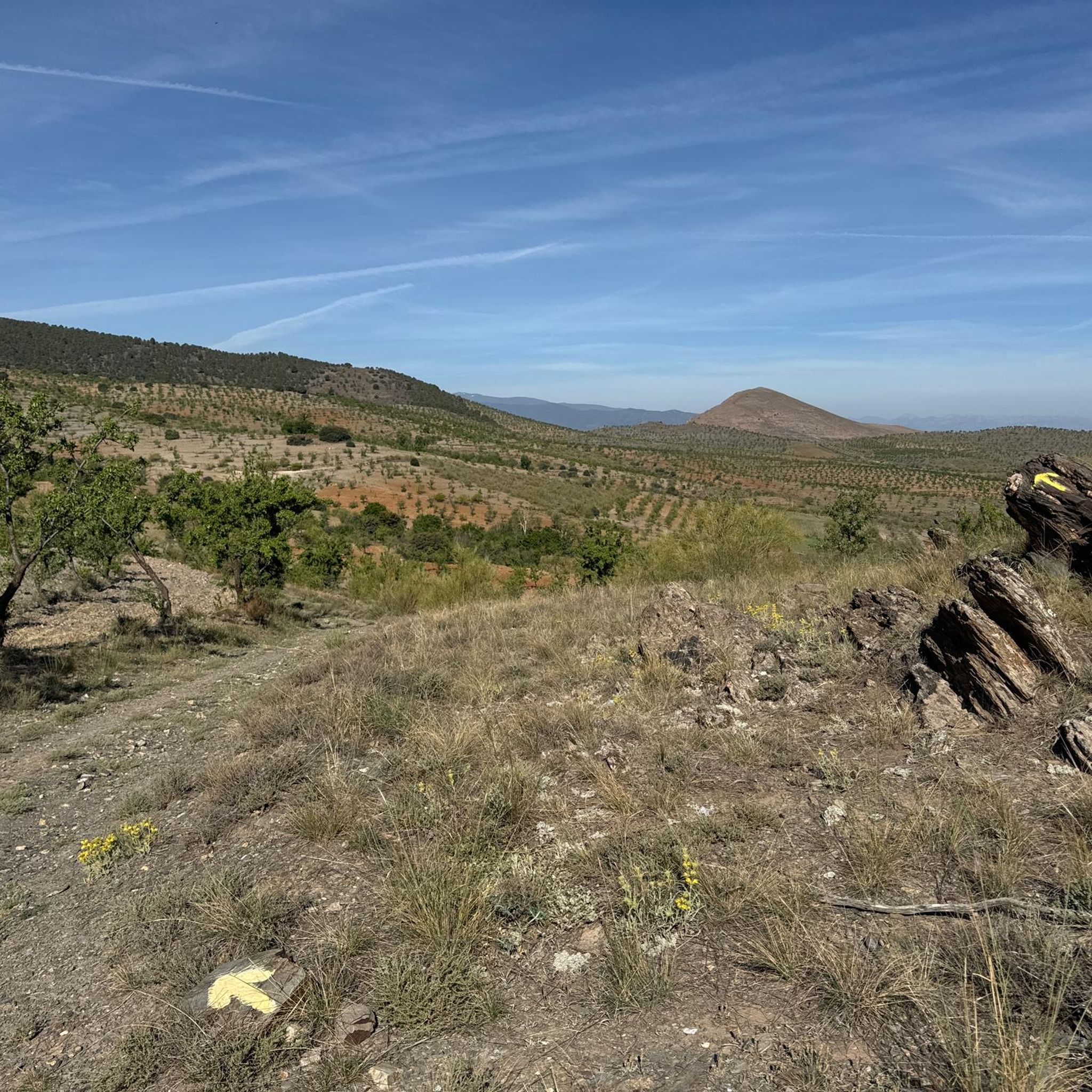
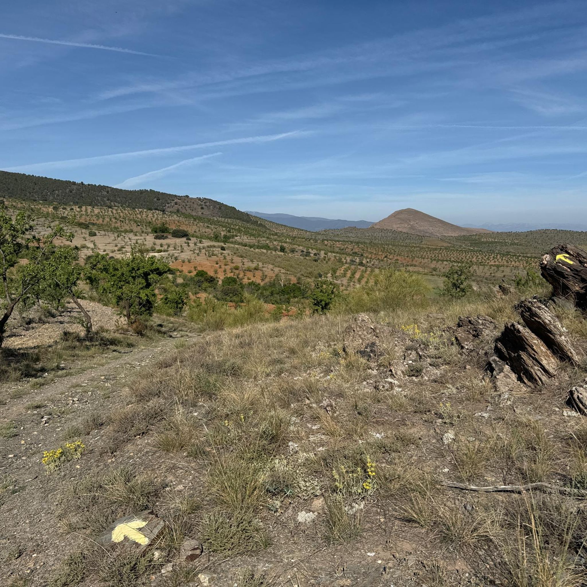
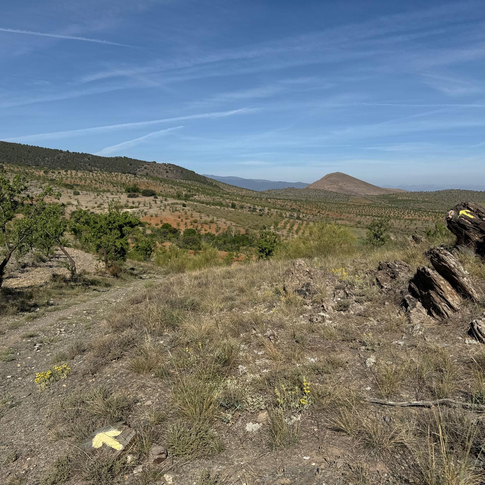
Gravel biking around Dólar offers routes through varied terrain in the Sierra Nevada foothills. The region is characterized by significant elevation changes, including mountain passes and river valleys. Trails often traverse open landscapes, connecting small towns and viewpoints. These routes provide access to the natural environment of the Dólar area.
Best gravel bike trails around Dólar
- The most popular gravel bike trail is Cave town Guadix – Marquesado Viewpoint loop from La Calahorra-Ferreira, a 64.3 miles (103.5 km) trail…
Last updated: July 4, 2026
10
riders
105km
08:39
1,710m
1,710m
Hard gravel ride. Very good fitness required. You may need to push your bike for some segments of this route.
11
riders
79.2km
07:06
1,720m
1,720m
Hard gravel ride. Very good fitness required. Mostly paved surfaces. Suitable for all skill levels.

Sign up for free
2
riders
80.4km
05:58
860m
860m
Hard gravel ride. Very good fitness required. You may need to push your bike for some segments of this route.
5
riders
102km
09:24
2,060m
2,060m
Hard gravel ride. Very good fitness required. Mostly paved surfaces. Suitable for all skill levels.
3
riders
35.4km
03:27
890m
890m
Hard gravel ride. Very good fitness required. Mostly paved surfaces. Suitable for all skill levels.
Our route recommendations are based on thousands of hikes, rides, and runs completed by other people on komoot.
Start today with a free account
Your next adventure awaits.
Login or Signup
Tips from the Community

If you're in Guadix, don't miss the cave districts. Climb up to the Hermitage in Plaza del Padre Poveda and its viewpoint. Then you can continue along the Cuatro Veredas until you reach the Mercadona just above.
0
0

The Puerto de la Ragua marks the border between the provinces of Granada and Almería. The Sierra Nevada stretches on both sides, with the 3000m peaks on the Granada side. The highest mountain in the province of Almería, El Chullo, is, however, easily accessible from the Puerto de la Ragua. The Puerto de la Ragua is just over 2000m.
0
0

a wonder to behold with the Sierra Nevada in the background
0
1

Great road with a rough, rather Nordic feel.
1
0

Great place with lots of colorful decorations.
2
0
Nice, small and relaxed place.
2
0
Very diverse and beautiful city with lots to see and discover.
2
0
Frequently Asked Questions
How many gravel bike trails are available around Dólar?
There are 5 gravel bike routes listed in this guide for the Dólar area, all categorized as difficult.
What kind of terrain can I expect on gravel bike trails near Dólar?
The routes around Dólar traverse varied terrain in the Sierra Nevada foothills, characterized by significant elevation changes, mountain passes, and river valleys. You'll often find yourself in open landscapes connecting small towns and viewpoints.
Are there any easy or beginner-friendly gravel bike routes in Dólar?
All the gravel bike routes listed in this guide for Dólar are categorized as difficult, featuring significant elevation gains and longer distances. Riders should be prepared for challenging climbs and descents.
Are there any circular gravel bike routes around Dólar?
Yes, all the routes in this guide are circular. For example, the Cave town Guadix – Marquesado Viewpoint loop from La Calahorra-Ferreira is a challenging 103.5 km loop, and the Abrucena Cemetery – Abrucena loop from Fiñana covers 80.7 km.
What are some scenic viewpoints accessible by gravel bike near Dólar?
Many routes offer excellent views. The Cave town Guadix – Marquesado Viewpoint loop from La Calahorra-Ferreira provides views from the Marquesado. Another route, Gor Fountain and Washhouse – Cerrillo de la Horca viewpoint loop from Dolar Empalme, includes the Cerrillo de la Horca viewpoint.
What is the typical length and duration of gravel bike trails in the Dólar area?
The gravel bike trails around Dólar are generally long and challenging. They range from approximately 35 km to over 100 km, with durations typically between 4 to 11 hours, depending on the route and your pace. For instance, the La Ragua Pass – Drinking water fountain loop from Fiñana is 103 km and takes around 11 hours.
Are there any natural attractions or landmarks along the gravel bike routes?
Yes, the region features several natural attractions. You might encounter highlights such as Prados del Rey, the Benéjar River, or the Confluence of the Rivers (Cruce de Los Ríos) – El Horcajo. The Peñón de Lanteira Viewpoint – Benéjar River Trail loop from Aldeire specifically follows the Benéjar River.
Are there any places to stop for water or shelter along the trails?
Yes, some routes pass by facilities. The La Ragua Pass – Drinking water fountain loop from Fiñana includes a drinking water fountain. Additionally, there are several huts and shelters in the broader Dólar area, such as La Canaleja Alta Refuge and La Ragua Mountain Hut, which could be useful for longer rides.
What is the best season for gravel biking around Dólar?
Given Dólar's location in the Sierra Nevada foothills, spring and autumn generally offer the most pleasant temperatures for gravel biking. Summers can be very hot, and winters may bring snow to higher elevations, making some routes more challenging or inaccessible.
What should I pack for a gravel biking trip in Dólar?
Due to the challenging nature and length of these routes, it's essential to pack sufficient water, snacks, a repair kit, and appropriate clothing layers. Given the significant elevation changes, a GPS device or a downloaded komoot tour is highly recommended for navigation.
Are the gravel bike trails around Dólar suitable for families?
The gravel bike routes listed in this guide are all rated as difficult, featuring considerable distances and elevation gains. They are generally more suitable for experienced riders rather than families with young children or beginners.
Most popular attractions around Dólar

Get inspired with the komoot mobile app


Explore more
Browse the best Gravel rides in other regions.
