The best walks and hikes around Miravete De La Sierra
4.9
(7)
50
hikers
5
hikes
Hiking around Miravete De La Sierra offers exploration of diverse natural landscapes within the Maestrazgo region of Teruel, Spain. The area is characterized by rugged mountain scenery, unique geological features like dinosaur footprints, and lush riverside forests along the Guadalope River. Situated at an elevation of 1,218 meters, the region features impressive vertical strata and monumental "chopo cabecero" trees. These varied terrains provide a rich environment for outdoor activities.
Best hiking trails around Miravete De La Sierra
- The most popular…
Last updated: May 23, 2026
4.9
(10)
51
hikers
7.23km
02:01
140m
140m
Moderate hike. Good fitness required. Easily-accessible paths. Suitable for all skill levels.
4.8
(4)
30
hikers
11.0km
03:01
170m
170m
Moderate hike. Good fitness required. Easily-accessible paths. Suitable for all skill levels.

Sign up for free
5.0
(1)
7
hikers
Hard hike. Very good fitness required. Sure-footedness, sturdy shoes and alpine experience required.
5.0
(1)
7
hikers
13.6km
03:35
110m
110m
Moderate hike. Good fitness required. Easily-accessible paths. Suitable for all skill levels.
5.0
(1)
5
hikers
14.1km
03:44
140m
140m
Moderate hike. Good fitness required. Easily-accessible paths. Suitable for all skill levels.
Our route recommendations are based on thousands of hikes, rides, and runs completed by other people on komoot.
Start today with a free account
Your next adventure awaits.
Login or Signup


Tips from the Community

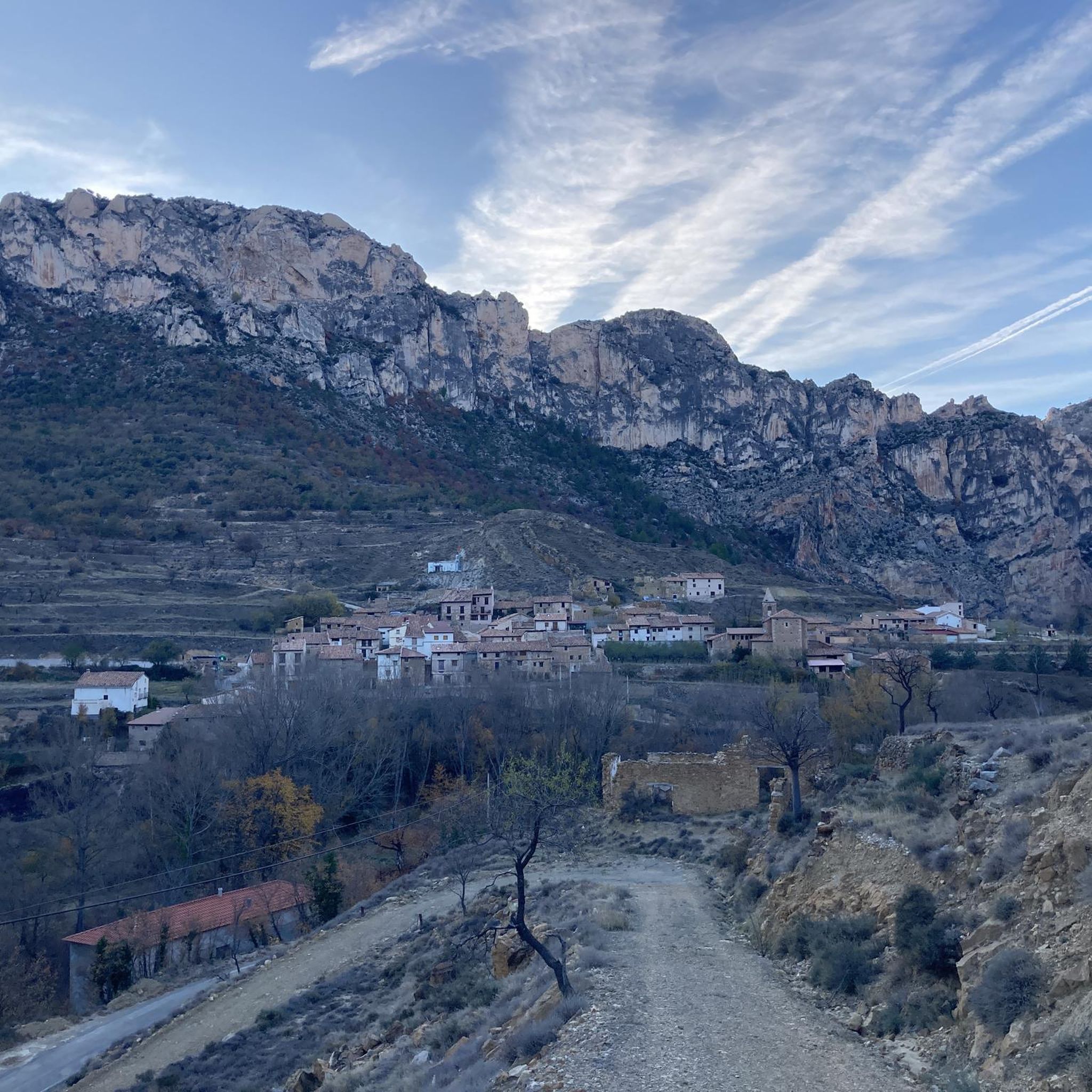
In this town of more than 200 inhabitants, the Guadalope River, which rises in the municipal district, the Agua Blanca River and the Barranco del Cañadizo ravine meet in an extremely abrupt and mountainous terrain. The environment is articulated by the constraints of the environment, which gives it that mountainous but at the same time calm atmosphere. If you like unspoiled nature... so beautiful here
1
0

To access the other side, continue a little beyond the chimney, we did not see the pass and we crossed the river, the water was freezing!!!!
0
0

Certainly even more impressive in spring.
0
0

We are in a beautiful town in Teruel where the surroundings of the source of the Guadalope River stand out, where there is a spring. It is also worth visiting the town center, visiting the parish church or the hermitage of Nuestra Señora de Loreto.
1
0

A nice place on the course of the Guadalope River. It can be reached by a path that runs through the Barranco de la Hoz Mala to the Fuente de la Tosca.
2
1
A few meters from the entrance to the Barranco de la Hoz Mala is this old power generation plant, now in ruins, but which provides a unique beauty to the wonderful surroundings of the ravine.
2
0
Only about 4 km from the center of the town of Pitarque is this beautiful spot popularly known as "los Ojos del Pitarque" and which marks the source of the homonymous river. The trail to get here runs through a picturesque canyon located in a wonderful setting. A place worth visiting with the whole family!
1
1

Passing the Estrecho de Aldehuela is a good way to see the geological veins of this area of the Iberian System, where the road crosses the mountain range called Lomas del Posador.
0
0
Frequently Asked Questions
How many hiking trails are available around Miravete De La Sierra?
There are several marked trails around Miravete De La Sierra, offering diverse natural landscapes. Komoot lists 2 routes, with options ranging from moderate to difficult, ensuring a variety of experiences for hikers.
What is the best time of year to go hiking in Miravete De La Sierra?
Miravete de la Sierra, situated at an elevation of 1,218 meters, offers cooler temperatures, making spring and autumn ideal for hiking. These seasons provide pleasant weather to explore the diverse landscapes without the intense heat of summer or the potential for winter snow at higher elevations.
What kind of terrain can I expect on hikes in Miravete De La Sierra?
The terrain around Miravete De La Sierra is varied, featuring rugged mountain scenery, unique geological formations, and lush riverside forests along the Guadalope River. You'll encounter impressive vertical strata, traditional agricultural landscapes, and paths through pine forests.
Are there any unique natural features or landmarks to see while hiking?
Yes, the area is rich in unique natural features. You can discover significant paleontological heritage with dinosaur footprints (ichnites) showcasing tracks from the Jurassic-Cretaceous period. Along the road to Villarroya de los Pinares, you'll also find monumental 'chopo cabecero' (pollarded black poplars) with impressively thick trunks. The Source of the Pitarque River is another notable natural highlight.
What historical or cultural sites can I explore on a hike?
Miravete de la Sierra itself is a Historic-Artistic Site. Many trails connect to other historic villages like Villarroya de los Pinares. The region is part of the Maestrazgo Cultural Park, blending natural beauty with rich history. You might also encounter the Sanctuary of the Virgin of the Field.
Are there options for circular walks in the area?
Yes, there are circular routes available. For example, the Canyon – Aliaga Power Plant loop from Aliaga is a moderate 10.9 km trail that explores canyon landscapes and historical industrial sites. Another option is the Hiking loop from Villarroya de los Pinares, a moderate 7.9 km path offering scenic views.
Are the trails in Miravete De La Sierra suitable for families with children?
Many of the marked trails in Miravete De La Sierra are suitable for families, especially those looking for an engaging outdoor experience. The presence of dinosaur footprints and unique trees can be particularly exciting for children. While some routes are moderate, shorter sections or specific trails can be chosen for family-friendly outings.
Can I bring my dog on the hiking trails?
Generally, dogs are welcome on hiking trails in the Maestrazgo region, provided they are kept under control, especially around wildlife or livestock. Always ensure to clean up after your pet and respect local regulations, which may vary in specific protected areas.
What do other hikers enjoy the most about hiking in Miravete De La Sierra?
The routes in Miravete De La Sierra are highly rated by the komoot community, with an average score of 4.9 stars from over 6 reviews. Hikers often praise the diverse natural environment, the unique geological features like the dinosaur footprints, and the blend of rugged mountain scenery with peaceful riverside paths.
Are there any challenging long-distance routes for experienced hikers?
For experienced hikers seeking a challenge, the Source of the Pitarque River – Source of the Pitarque River loop from Pitarque is a difficult 16.4 km trail. This route leads through varied terrain and typically takes around 5 hours 10 minutes to complete, offering a more strenuous exploration of the region.
Where can I find parking when hiking in Miravete De La Sierra?
Miravete de la Sierra, being a small village and a starting point for many trails, typically offers parking within or at the edge of the village. For specific trailheads, it's advisable to check local signage or maps for designated parking areas, especially when starting routes that connect to other towns like Villarroya de los Pinares.
Are there any viewpoints or scenic spots recommended for photography?
The Maestrazgo region is known for its dramatic landscapes, offering numerous scenic spots. The elevated position of Miravete de la Sierra itself provides panoramic views. Specific mountain passes like San Cristóbal Pass and Camarillas Pass offer excellent vantage points for photography, showcasing the rugged beauty of the mountains.
Most popular routes around Miravete De La Sierra
Most popular attractions around Miravete De La Sierra

Get inspired with the komoot mobile app


Explore more
Browse the best Hikes in other regions.
