The best gravel rides around Orusco De Tajuña
13
riders
6
rides
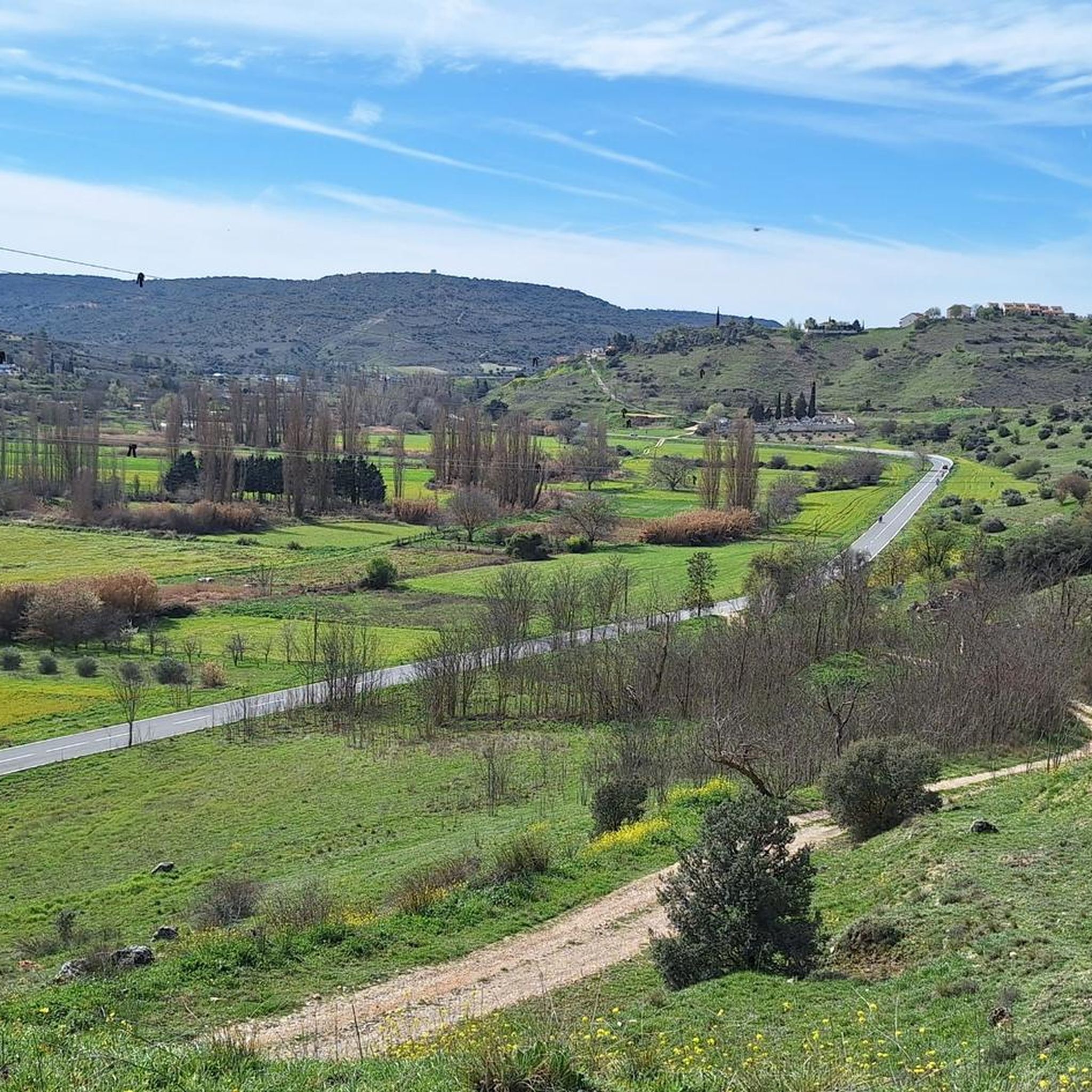
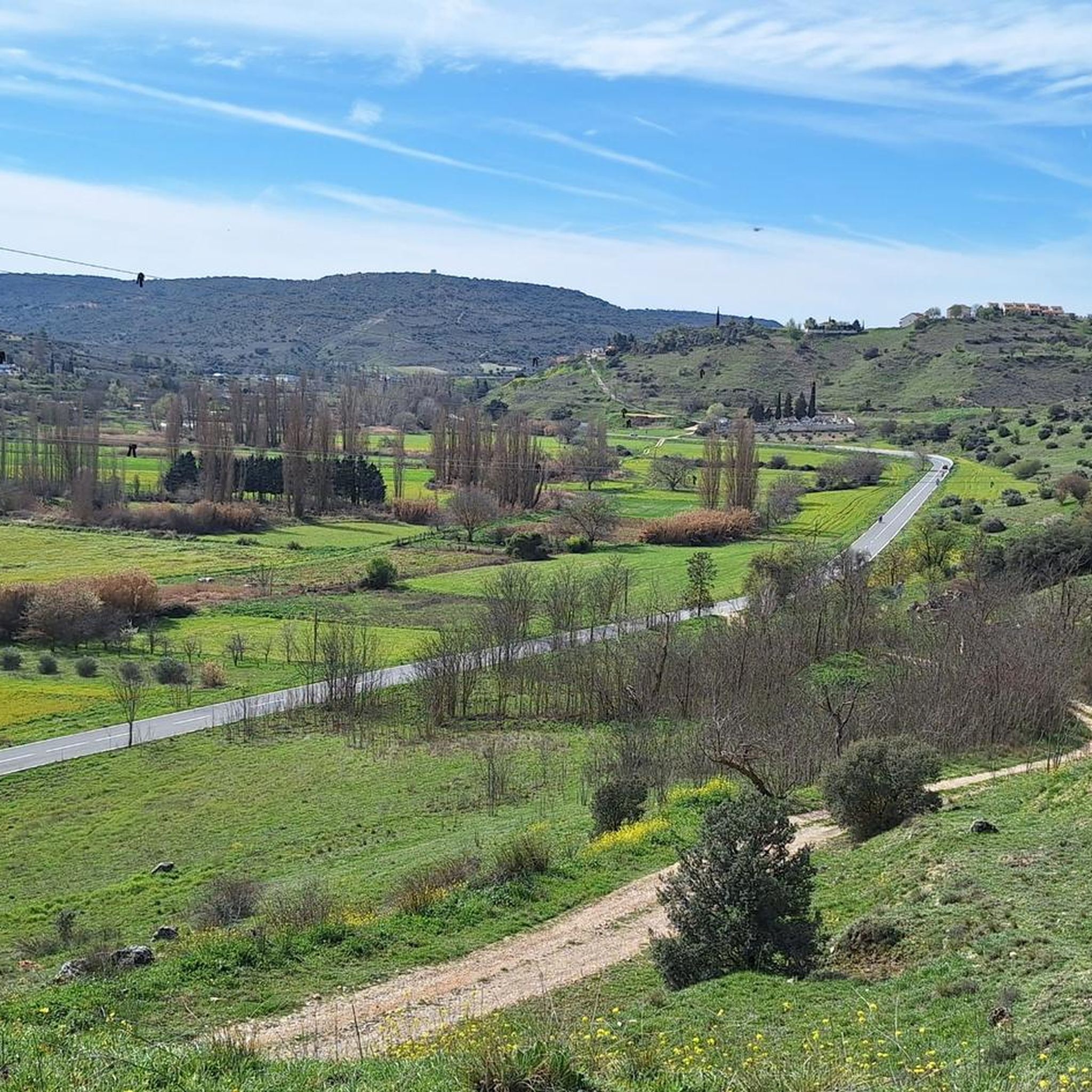
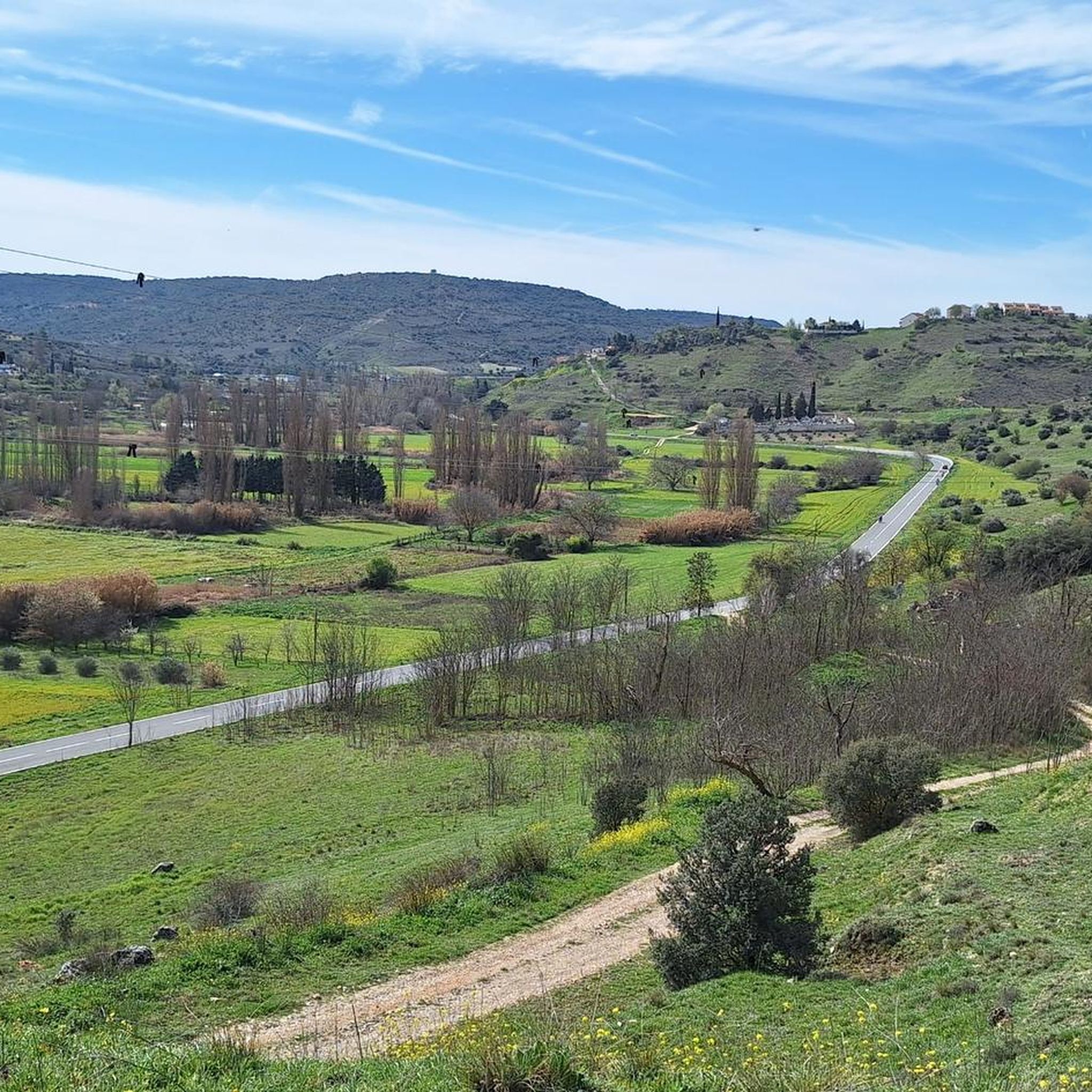
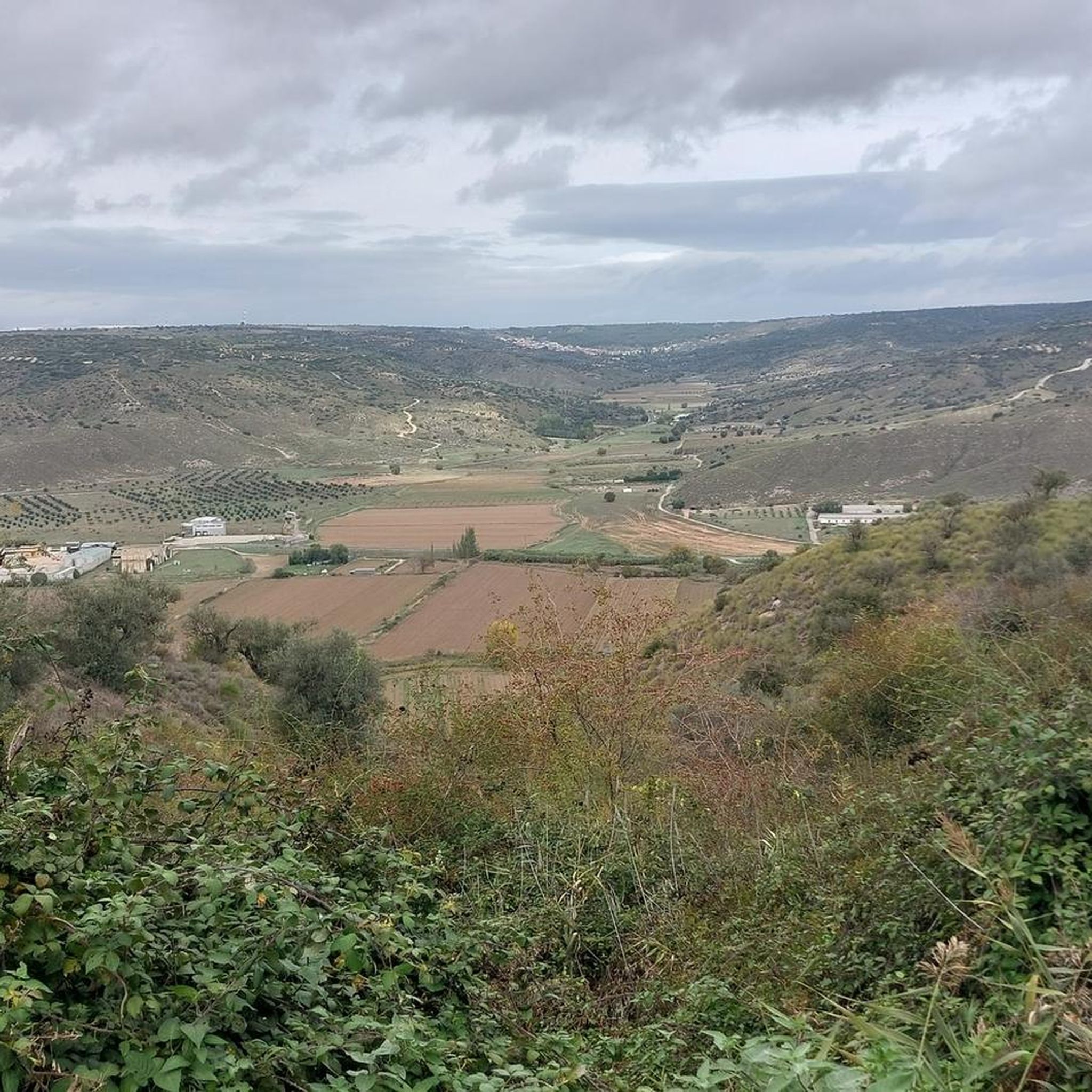
Gravel biking around Orusco De Tajuña features routes that often follow the Tajuña River and its associated greenways, providing varied terrain. The region is characterized by river valleys, agricultural lands, and sections that pass through or near historic towns. Elevation changes are present, ranging from moderate climbs to more challenging ascents, offering diverse experiences for gravel riders.
Best gravel bike trails around Orusco De Tajuña
- The most popular gravel bike trail is Laguna del Campillo – Campillo Lagoon loop from…
Last updated: July 4, 2026
4
riders
106km
07:51
1,220m
1,220m
Hard gravel ride. Very good fitness required. Mostly paved surfaces. Suitable for all skill levels.
1
riders
83.5km
05:57
840m
840m
Hard gravel ride. Very good fitness required. Mostly paved surfaces. Suitable for all skill levels.

Sign up for free
3
riders
80.4km
05:29
650m
650m
Hard gravel ride. Very good fitness required. Mostly paved surfaces. Suitable for all skill levels.
2
riders
Moderate gravel ride. Good fitness required. Mostly paved surfaces. Suitable for all skill levels.
1
riders
28.0km
01:52
240m
240m
Moderate gravel ride. Good fitness required. Mostly paved surfaces. Suitable for all skill levels.
Our route recommendations are based on thousands of hikes, rides, and runs completed by other people on komoot.
Start today with a free account
Your next adventure awaits.
Login or Signup
Tips from the Community

The landscapes from Ambite to Mondejar are worth seeing.
0
0

Flat and accessible route that follows the old railway line between Arganda del Rey and Ambite, ideal for e-bikes, amidst fields, charming villages, and illuminated tunnels.
0
0

Easy and comfortable route along this old railway line
0
0

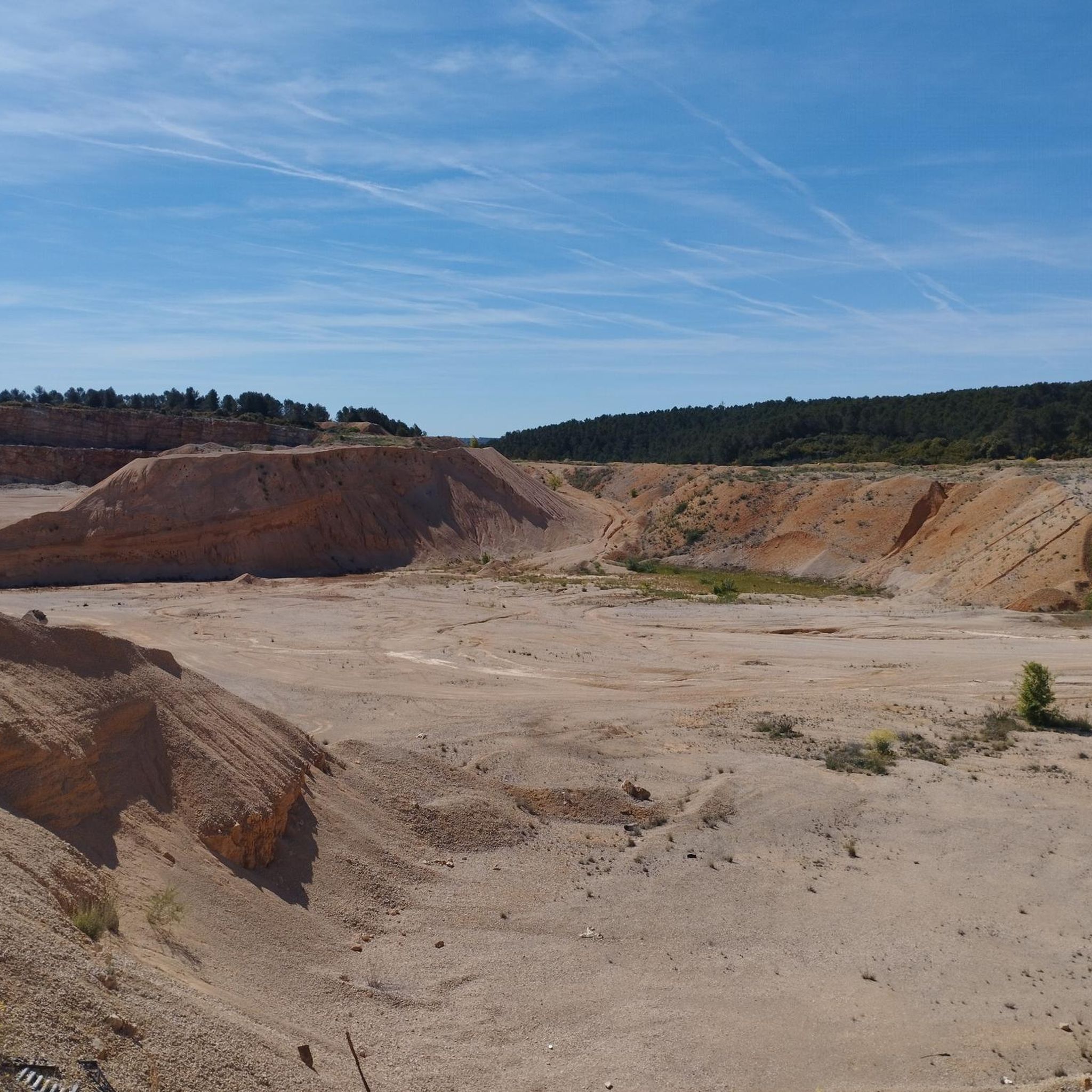
The Campillo Lagoon is located in Rivas Vaciamadrid, within the Southeast Regional Park, about 20 km from Madrid. It is a protected natural area, ideal for peaceful walks and outdoor activities. Origin: Artificial, formed in the 1960s and 70s after the extraction of aggregates in the Jarama River basin. Water from the aquifer filled the excavations and over time became a wetland with great biodiversity.
6
0
The Campillo Lagoon is located in Rivas Vaciamadrid, within the Southeast Regional Park, about 20 km from Madrid. It is a protected natural area, ideal for peaceful walks and outdoor activities. Origin: Artificial, formed in the 1960s and 70s after the extraction of aggregates in the Jarama River basin. Water from the aquifer filled the excavations and over time became a wetland with great biodiversity.
4
0
The Campillo Lagoon is located in the Southeast Regional Park, in the Spanish municipality of Rivas-Vaciamadrid, in the Community of Madrid. Its origin lies in the former gravel quarrying that took place in the Jarama River basin during the 1960s and 70s. Excavation went below the water table, and when quarrying ceased and the surrounding area was restored, this lagoon emerged, measuring approximately 4 kilometers in diameter and covering 35 hectares. After El Porcal Lagoon, it is the largest lagoon in the Southeast Regional Park. A peaceful place to relax, with numerous benches.
2
1

For the beautiful surroundings and landscape just a stone's throw from Madrid.
1
0

It is a beautiful town, one of those that remain with its essence.
0
0
Frequently Asked Questions
What types of gravel bike trails can I expect around Orusco De Tajuña?
The region offers a diverse mix of gravel biking experiences. You'll find routes that follow the Tajuña River and its greenways, traversing river valleys, agricultural lands, and passing through or near historic towns. The terrain varies from relatively flat sections along the river to more challenging ascents in other areas.
Are there any easy or moderate gravel bike routes suitable for beginners or families?
Yes, while many routes are challenging, there are options for moderate riders. For a less demanding experience, consider the Road Along the Tajuña River – Centenary Elm of Nuevo Baztán loop from Nuevo Baztán, which is 36.7 km long with moderate elevation changes. Another moderate option is the Valmores Fountain – Palace of Nuevo Baztán loop from Nuevo Baztán, covering 27.9 km.
What are some of the more challenging gravel bike routes in the area?
For experienced gravel bikers seeking a challenge, routes like the Laguna del Campillo – Campillo Lagoon loop from Valdilecha offer extensive gravel sections over 106 km with significant elevation gain. Another demanding option is the Tajuña Greenway – View of Ambite loop from Tielmes, which is 83.5 km and features substantial climbing.
Are there any circular gravel bike routes available?
Yes, all the gravel bike routes listed for Orusco De Tajuña are designed as loops, allowing you to start and finish at the same point. Examples include the Tajuña Greenway Section – Olivarejos Trail loop from Nuevo Baztán and the Valmores Fountain – Palace of Nuevo Baztán loop from Nuevo Baztán.
What is the best time of year for gravel biking around Orusco De Tajuña?
The spring and autumn months are generally ideal for gravel biking in this region. The weather is typically milder, making for more comfortable rides. Summers can be very hot, especially in the open agricultural areas, while winters are usually mild but can have cooler, wetter days.
What interesting landmarks or natural sights can I see along the gravel bike trails?
The routes often pass by significant natural and historical points. You might encounter natural monuments such as the Encina de la Pica or the Fuente del Arca. Historically, the Goyeneche Palace of Nuevo Baztán is a notable attraction, and you can also find picturesque bridges and charming town centers like Villar del Olmo Town Center.
Are there opportunities to stop for refreshments or food along the routes?
Many routes pass through or near historic towns and villages, such as Nuevo Baztán and Villar del Olmo. These settlements typically offer cafes, bars, and restaurants where you can refuel and take a break during your ride.
What are the typical elevation gains on gravel bike routes in this area?
Elevation gains vary significantly depending on the route's length and terrain. Moderate routes like the Valmores Fountain – Palace of Nuevo Baztán loop have around 237 meters of ascent, while more difficult routes such as the Laguna del Campillo – Campillo Lagoon loop can feature over 1200 meters of climbing.
Where can I find parking for gravel biking in Orusco De Tajuña?
Many of the routes start from towns like Valdilecha, Tielmes, or Nuevo Baztán. These towns typically offer public parking facilities, often near the starting points of the trails or in town centers. It's advisable to check local parking options for your chosen starting location.
What makes the Tajuña Greenway a popular choice for gravel biking?
The Tajuña Greenway, a former railway line, provides a relatively flat and well-maintained surface, making it accessible for various skill levels. It offers scenic views of the Tajuña River and the surrounding countryside, connecting several charming towns and natural spots. Routes like the Tajuña Greenway – View of Ambite loop from Tielmes highlight its appeal.
Are there any specific points of interest related to the Tajuña Greenway?
Yes, the Junction of the Tajuña Greenway and the Tren de los 40 Días Greenway is a notable point where two significant greenways meet, offering extended riding possibilities. The greenway itself is a highlight, providing a smooth and picturesque path through the region.
How many gravel bike routes are available in total for Orusco De Tajuña?
There are 6 gravel bike routes currently available around Orusco De Tajuña, ranging from moderate to difficult in terms of challenge.
Most popular routes around Orusco De Tajuña
Most popular attractions around Orusco De Tajuña

Get inspired with the komoot mobile app


Explore more
Browse the best Gravel rides in other regions.
