The best gravel rides in Serrania De Cuenca
4.9
(11)
215
riders
10
rides
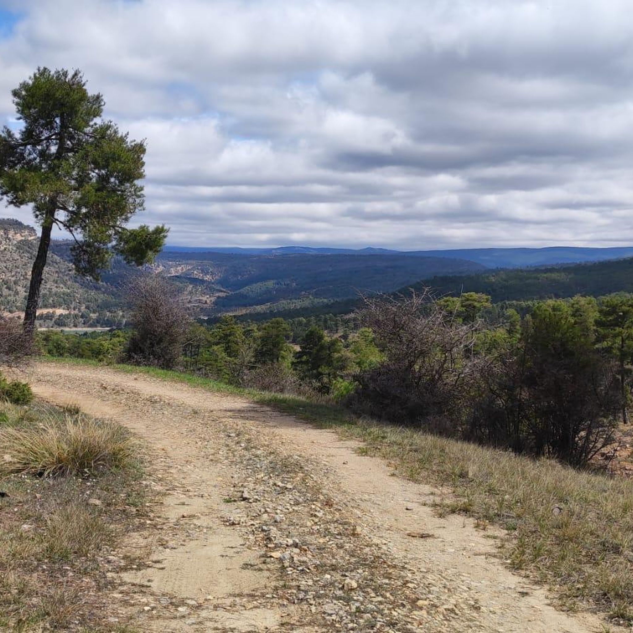
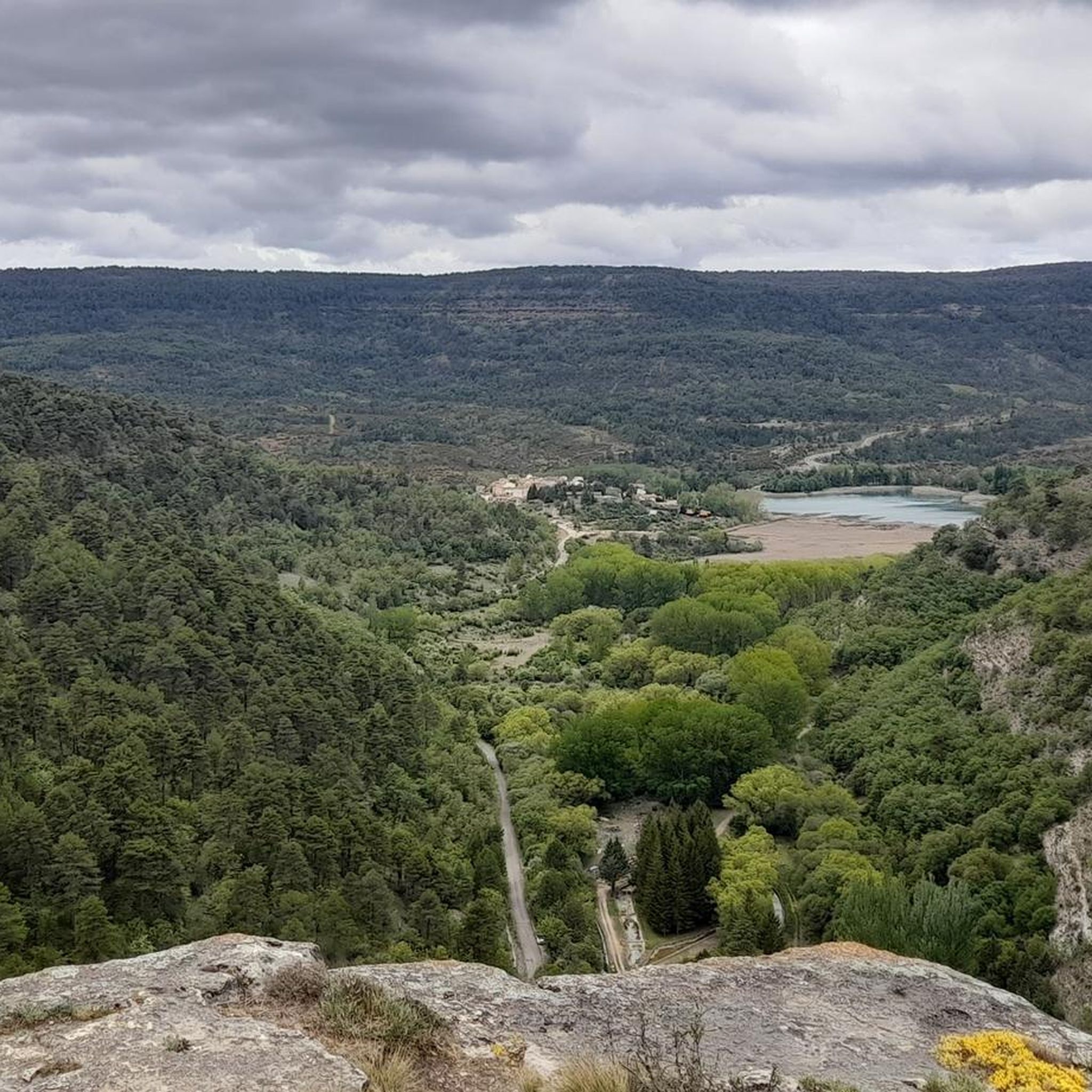
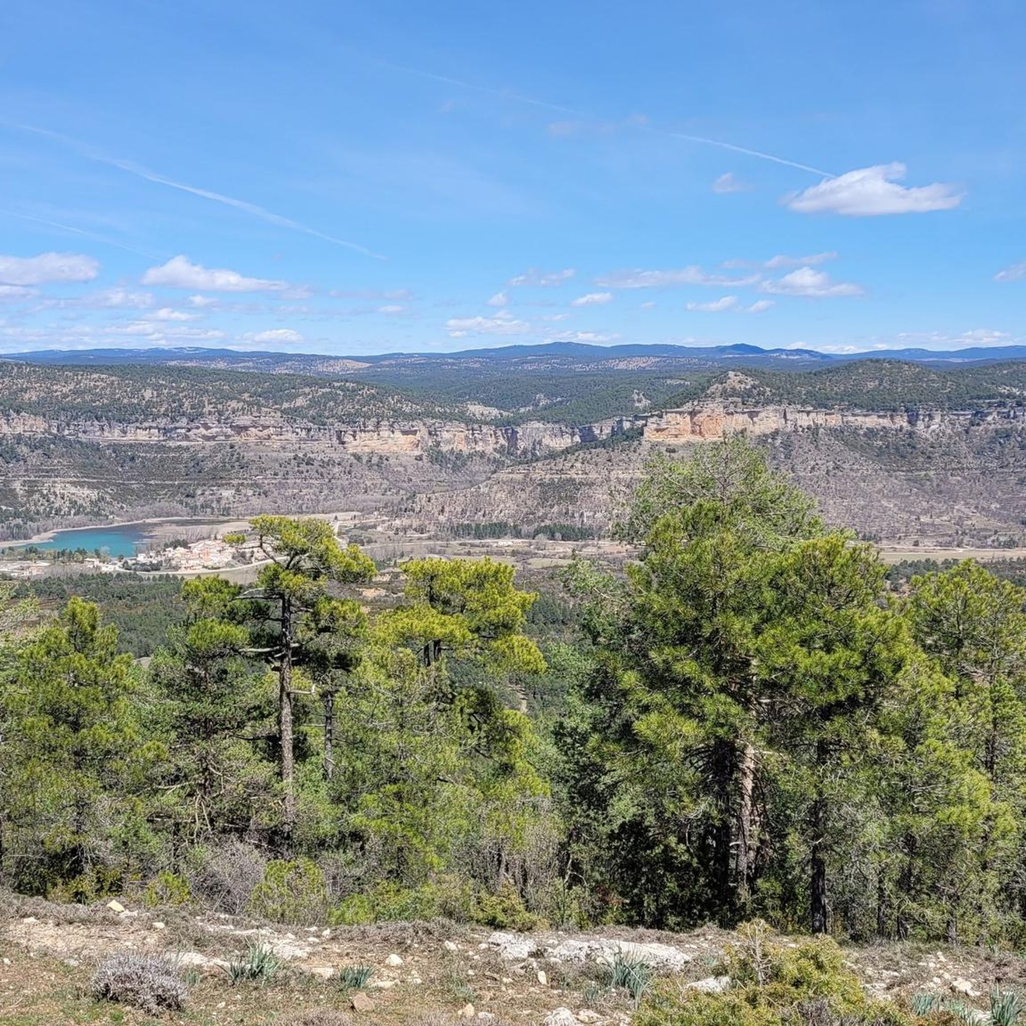
Gravel biking in Serrania De Cuenca offers diverse terrain across a sprawling natural park. The region is characterized by extensive karst topography, featuring unique limestone formations, deep ravines, and river gorges. Thick pine forests cover much of the landscape, providing varied surfaces for gravel bike trails. Three major rivers, the Cuervo, Escabas, and Júcar, carve through the area, creating scenic valleys and challenging elevation changes.
Best gravel bike trails in Serrania De Cuenca
- The most popular gravel bike trail is…
Last updated: June 30, 2026
5.0
(2)
33
riders
108km
08:09
2,070m
2,070m
Hard gravel ride. Very good fitness required. Mostly paved surfaces. Suitable for all skill levels.
11
riders
144km
11:50
2,680m
2,680m
Hard gravel ride. Very good fitness required. Mostly paved surfaces. Suitable for all skill levels.

Sign up for free
40
riders
152km
11:35
2,530m
2,530m
Hard gravel ride. Very good fitness required. Mostly paved surfaces. Suitable for all skill levels.
6
riders
130km
09:11
2,240m
2,240m
Hard gravel ride. Very good fitness required. Mostly paved surfaces. Suitable for all skill levels.
5.0
(2)
8
riders
83.7km
06:36
1,550m
1,550m
Hard gravel ride. Very good fitness required. Mostly paved surfaces. Suitable for all skill levels.
Get access to more routes and recommendations from other explorers.
Sign up for free
Already have an account?
Our route recommendations are based on thousands of hikes, rides, and runs completed by other people on komoot.
Start today with a free account
Your next adventure awaits.
Login or Signup
Popular around Serrania De Cuenca

MontañasVacías official — bikepacking across the Spanish Lapland
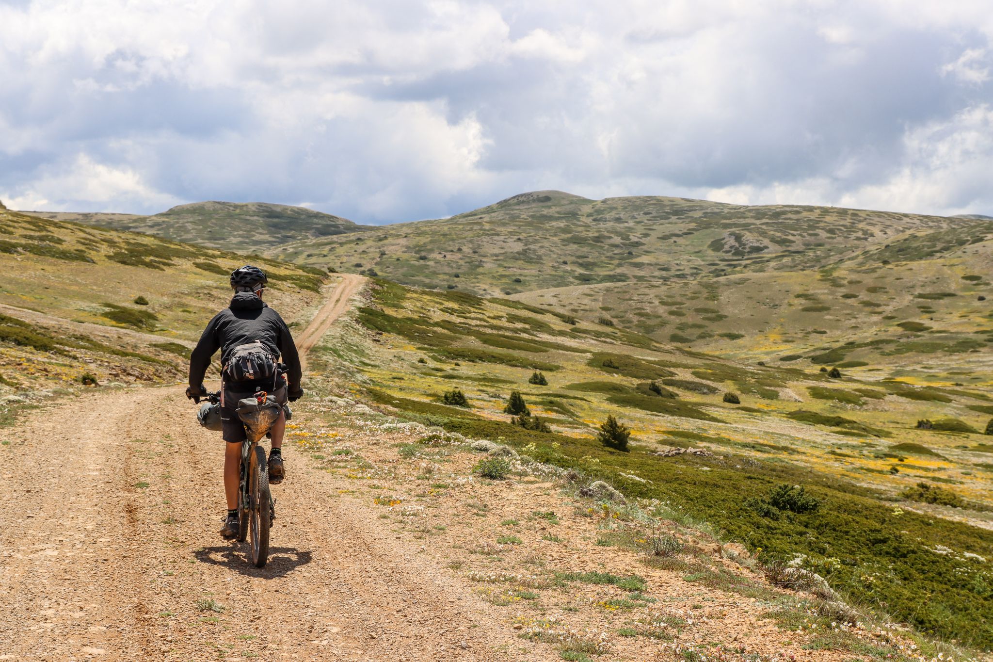
Montañas Vacías — bikepacking the wild and remote 'Empty Mountains'
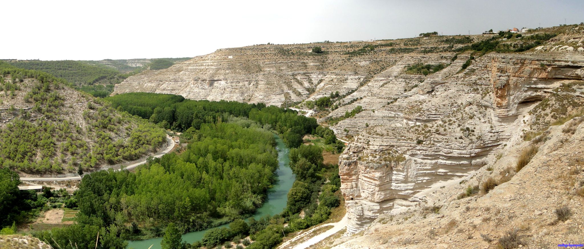
Explore Spain’s Júcar River by bike
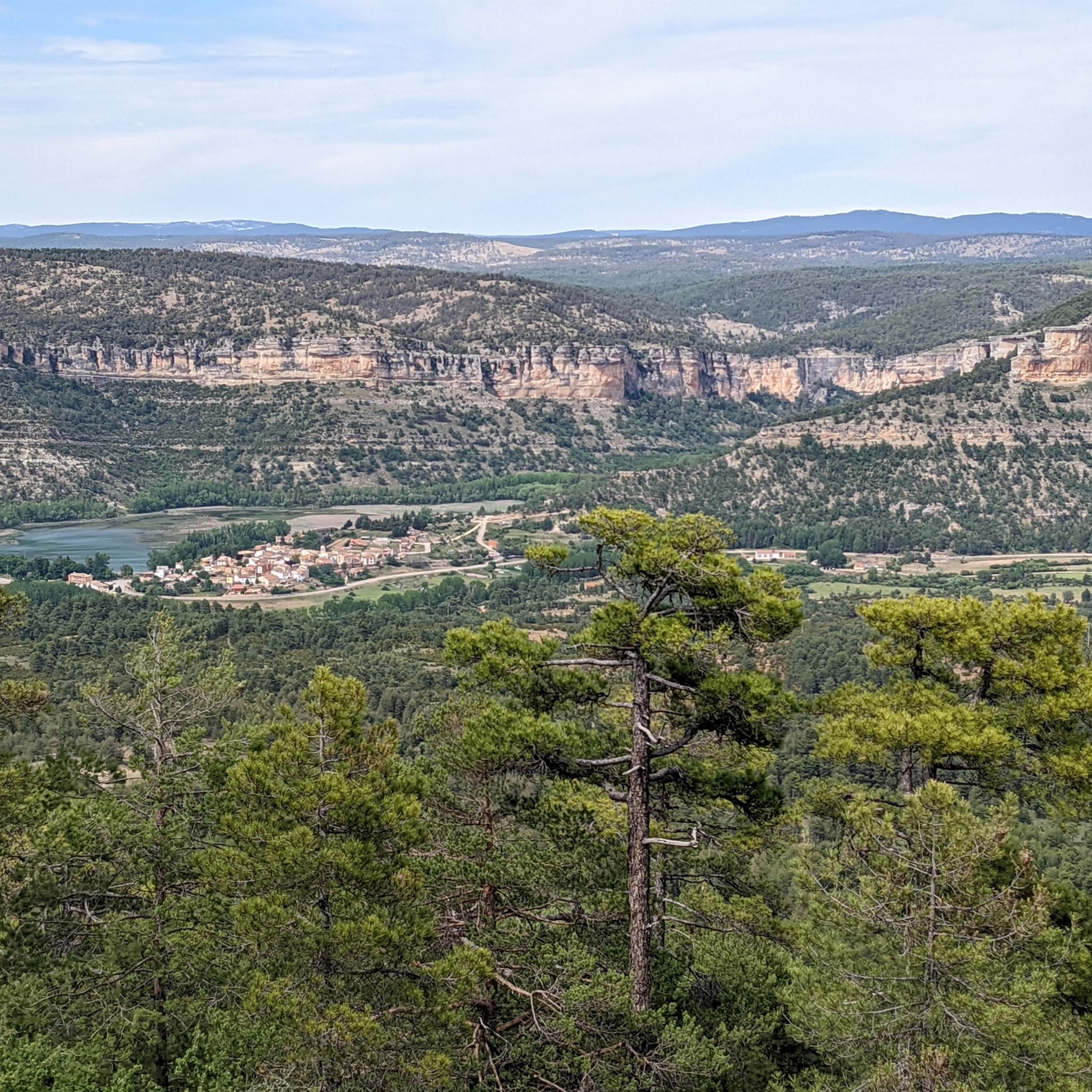
Hiking in Serrania De Cuenca
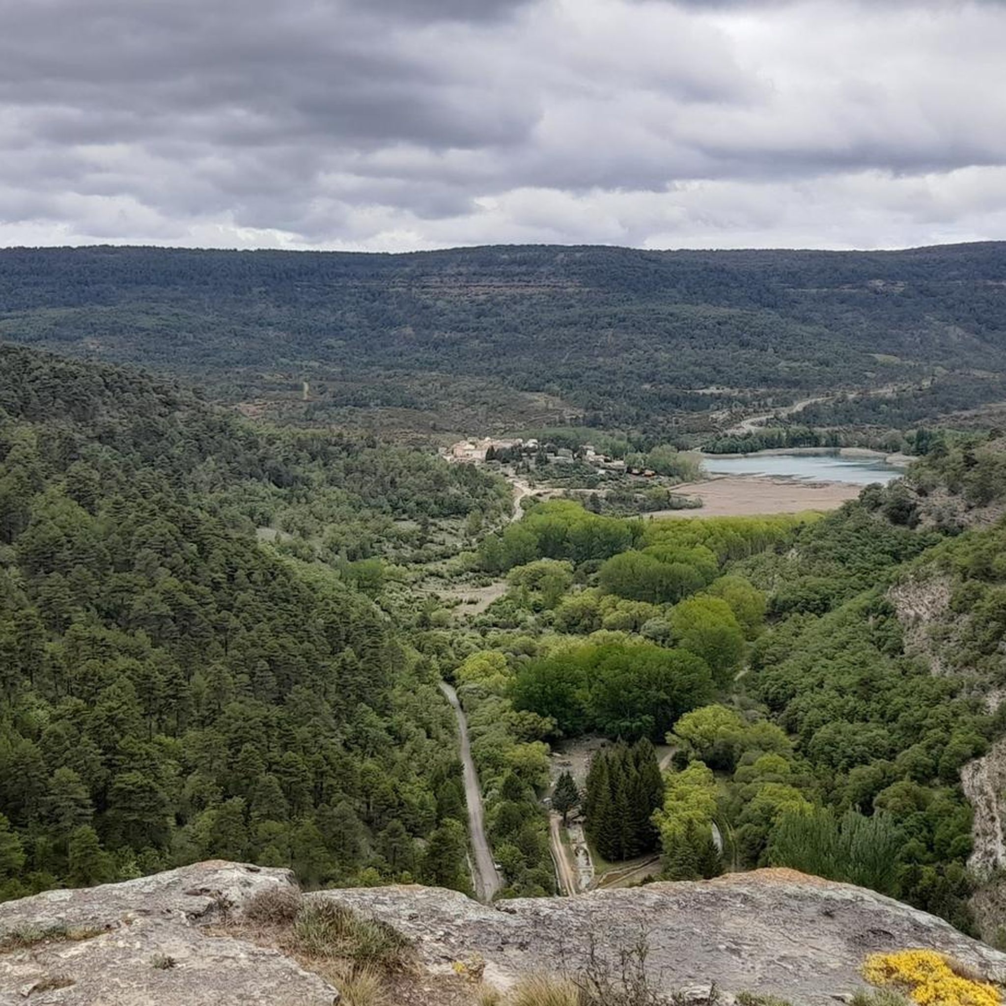
MTB Trails in Serrania De Cuenca
Running Trails in Serrania De Cuenca
Cycling in Serrania De Cuenca
Road Cycling Routes in Serrania De Cuenca
Other adventures in Serrania De Cuenca


Tips from the Community

The Jucar River is approximately 500 km long and flows from the Montes Universales to Cullera, where it flows into the Gulf of Valencia.
4
0

Refuge in perfect condition for spending a night, it had four bunk beds, a fireplace area, and a small stable.
0
0
Emblematic place, with natural sculptures, visible from the road itself
0
0

It is located in Plaza del Pino, one of the main squares of Tragacete. The fountain is part of the urban walking tour, which also includes the church, the Town Hall, and the visitor center. It is a traditional urban fountain, integrated into the historic center. It serves as a water source for residents and visitors. It is mentioned as one of the highlights to see in the town along the tourist route.
13
0
The Town Hall Square in Tragacete is located at Plaza de la Constitución, nº1, which is the official address of the Town Hall. Plaza de la Constitución is a central square in the town center of Tragacete, near: Hostal El Gamo Plaza de María Luisa Vallejo Municipal pelota court
11
0
Tragacete is a wonderful destination to visit! This small village is nestled in the Serranía de Cuenca mountains and offers a stunning natural setting. Nearby, you'll find the source of the Cuervo River, a spectacular waterfall surrounded by a beautiful forest, ideal for walks and enjoying nature. The Parish Church of San Miguel Arcángel, built in the 16th century, is one of the village's most emblematic monuments. 😎⛪🌄🚶♀️🚵🚴
11
0

Within the great beauty of the Enchanted City of Chequilla are the Towers, near the Church Square.
0
0

This shelter serves as a resting place and even as a place to spend the night during hikes. The surrounding area features stone tables and benches where you can sit and eat while enjoying the surroundings.
10
0
Frequently Asked Questions
What kind of terrain can I expect on gravel bike trails in Serranía de Cuenca?
The Serranía de Cuenca is characterized by its diverse and dramatic landscapes. You'll encounter extensive karst topography with unique limestone formations, deep ravines, and river gorges. Thick pine forests cover much of the area, providing varied surfaces from well-maintained dirt tracks to more technical paths. The region's three major rivers—the Cuervo, Escabas, and Júcar—carve through the landscape, creating scenic valleys and contributing to significant elevation changes.
Are there any easy or family-friendly gravel bike routes in Serranía de Cuenca?
While many routes in this guide present significant challenges, the broader region offers options for different ability levels. The natural park's extensive network includes paths that are less demanding. For a family-friendly experience, consider exploring areas around Uña Lagoon, which has an easy path around its perimeter, or other well-maintained forest tracks that avoid steep climbs.
What are some notable natural landmarks or viewpoints to see along the gravel trails?
Serranía de Cuenca is rich in unique geological formations and stunning viewpoints. You can explore the fantastical rock formations of the Enchanted City or the labyrinthine landscape of The Callejones of Las Majadas. Don't miss the breathtaking views of the Júcar River valley from the Ventano del Diablo. Many routes also offer vistas of the deep river gorges and dense pine forests.
What is the best time of year for gravel biking in Serranía de Cuenca?
The region is excellent for gravel biking for much of the year. Spring and autumn offer pleasant temperatures and vibrant natural colors, especially when the forests change hues. Even in warmer months, the thick pine forests provide mild temperatures and welcome shade. Winter can be an option, but be prepared for colder conditions and potential snow at higher elevations.
Are there any circular gravel bike routes available?
Yes, many of the gravel bike routes in Serranía de Cuenca are designed as loops, allowing you to start and end at the same point. For example, the challenging View of the Júcar River – View of the Júcar River loop from Cerro de los Cerezos and the Puntal de la Tola Viewpoint – View of the Júcar River Canyon loop from Los Callejones de las Majadas are both excellent circular options that showcase the region's beauty.
What do other gravel bikers enjoy most about Serranía de Cuenca?
The area is highly rated by the komoot community, with an average score of 4.9 stars. Reviewers often praise the region's stunning natural beauty, the extensive network of well-maintained trails, and the sense of tranquility due to low population density and minimal car traffic. The unique karst landscapes and dramatic river gorges are frequently highlighted as memorable features.
Are there opportunities to see wildlife while gravel biking?
Yes, Serranía de Cuenca is home to diverse wildlife. While cycling through the forests and along river valleys, you might spot deer, wild boars, and mouflons. The region is also known for its raptors, including griffon vultures and golden eagles. For a more focused wildlife experience, the Parque Cinegético Experimental de El Hosquillo is known for its Iberian fauna, including bears.
Where can I find parking for gravel bike trails in Serranía de Cuenca?
Given the region's low population density and extensive trail network, parking is generally available near trailheads, especially in or near smaller villages and natural park access points. Many routes start from locations with designated parking areas, or you can find suitable spots in towns like Valdecabras or near popular attractions such as the Ciudad Encantada or Los Callejones de las Majadas.
Are there any cafes or pubs along the gravel bike routes for refreshments?
While the Serranía de Cuenca is a wild and sparsely populated area, you can find cafes and pubs in the small villages scattered throughout the region. Planning your route to pass through these villages is advisable for refreshment stops. It's always a good idea to carry sufficient water and snacks, especially on longer or more remote sections, as services can be infrequent.
What should I bring for a gravel biking trip in Serranía de Cuenca?
Given the challenging nature of many routes and the remote areas, it's essential to be well-prepared. Besides your gravel bike, helmet, and appropriate cycling attire, bring plenty of water, snacks, a repair kit (including spare tubes, pump, and multi-tool), and a first-aid kit. A fully charged phone with offline maps (like komoot's) is highly recommended, as mobile signal can be intermittent. Depending on the season, layers of clothing are also advisable.
Can I access Serranía de Cuenca by public transport for gravel biking?
Public transport options to and within Serranía de Cuenca are limited due to its rural nature. While you can reach the city of Cuenca by train or bus, getting to specific trailheads within the natural park often requires a car. Some smaller villages might have infrequent bus services, but these are generally not convenient for accessing remote gravel biking starting points. It's best to plan for private transport if you intend to explore the deeper parts of the park.
Are there any permits required for cycling on the trails?
Generally, no specific permits are required for cycling on the established trails within the Serranía de Cuenca natural park. However, always respect local regulations, especially in protected areas or private lands. Stick to marked trails, avoid disturbing wildlife, and practice Leave No Trace principles. Some specific natural monuments or private attractions might have entrance fees or specific rules, so it's good to check if your route passes through such areas.
Most popular routes in Serrania De Cuenca
Most popular attractions in Serrania De Cuenca

Get inspired with the komoot mobile app


Explore more
Browse the best Gravel rides in other regions.
