The best walks and hikes in A Marronda
4.5
(4)
64
hikers
5
hikes
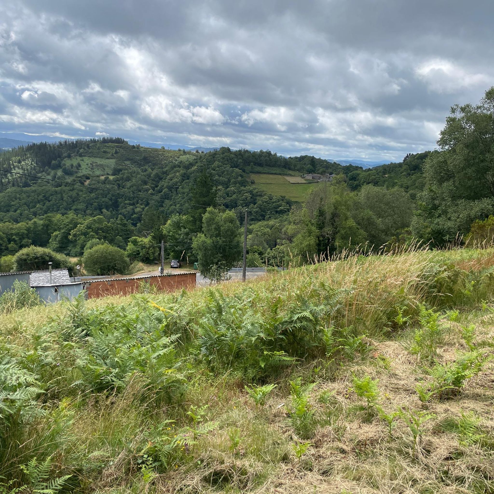
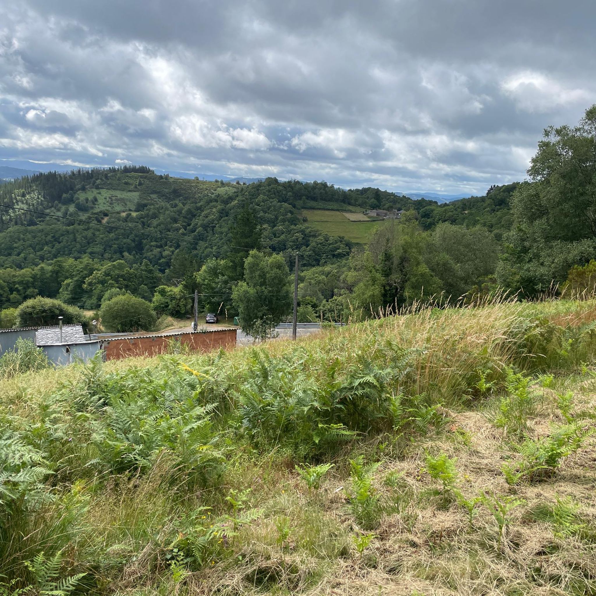
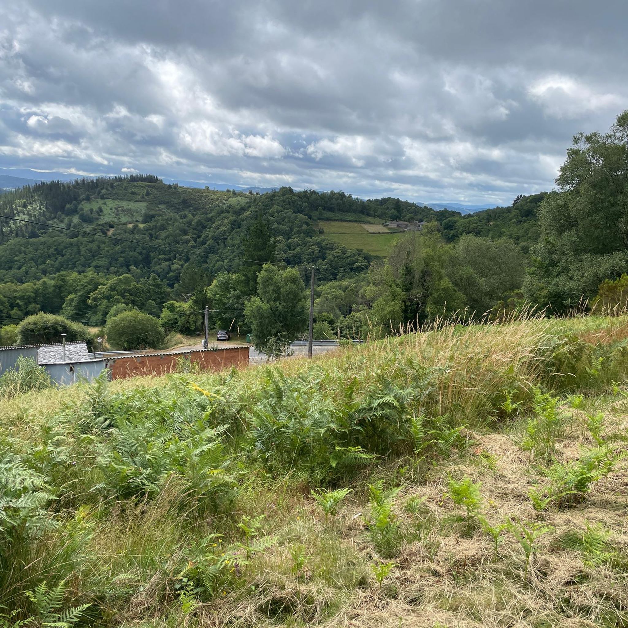
Hiking in A Marronda offers trails through one of southwestern Europe's most significant autochthonous Galician forests, featuring extensive beech and oak woodlands. The region is characterized by mid-mountain terrain, with altitudes ranging between 450 and 925 meters, and the upper basins of the Eo River and its tributaries. These rivers carve through the landscape, forming fluvial scenery with meanders and notable waterfalls.
Best hiking trails in A Marronda
- The most popular hiking route is A Marronda - Alto Eo Route…
Last updated: June 30, 2026
4
hikers
26.0km
04:34
710m
700m
Hike the moderate 16.2-mile Parque Natural A Marronda circular from A Cortevella, exploring ancient forests, waterfalls, and river views.
9
hikers
24.7km
07:30
800m
800m
Hard hike. Very good fitness required. Easily-accessible paths. Suitable for all skill levels.

Sign up for free
8
hikers
12.7km
03:52
430m
430m
Moderate hike. Good fitness required. Easily-accessible paths. Suitable for all skill levels.
5.0
(1)
8
hikers
27.8km
08:35
1,010m
1,010m
Hard hike. Very good fitness required. Easily-accessible paths. Suitable for all skill levels.
24
hikers
28.7km
08:25
810m
820m
Hard hike. Very good fitness required. Easily-accessible paths. Suitable for all skill levels.
Our route recommendations are based on thousands of hikes, rides, and runs completed by other people on komoot.
Start today with a free account
Your next adventure awaits.
Login or Signup
Popular around A Marronda
Tips from the Community

A Lastra, in the Lucense municipality of Baleira, is a small village representative of the Galician rural interior, where tranquility, direct contact with nature, and a slow pace of life predominate. Its surroundings, with green landscapes, mountains, and meadows, are very attractive to those seeking to disconnect from the urban hustle and bustle, although it also reflects the challenges of many rural areas, such as depopulation and the limited range of services. Overall, A Lastra conveys authenticity and simplicity, being an ideal place for those who value rural life and roots in Galician tradition.
2
0

After a very long descent from the mountain, it is simply cult to rest here and drink a café con leche. 👍🏼
1
0

You finally arrive in Galicia. When you get to the top, a Galician restaurant is waiting for you. You should definitely stop in. The hosts are nice. There are good snacks, fruit... and of course the stamp.😁
1
0
If you decide to explore this route, you will be surrounded by nature, history and breathtaking views. Enjoy your hike! 🏞️🚶♂️🥾🚵🌞
5
0
If you decide to explore this route, you will be surrounded by nature, history and breathtaking views. Enjoy your hike! 🏞️🚶♂️🥾🚵🌞
4
0

Os Oteiros is a stop that forms part of the Fonsagrada-O Cádavo route on the Camino Primitivo de Santiago. This route runs through Galicia, and in particular, through the province of Lugo. Good way! 🚶♂️🌟
4
0
La Casa Mesón in Paradavella is a charming place to enjoy local cuisine. Enjoy! 😊Enjoy good food! 🍽️
5
0
Frequently Asked Questions
What is the general difficulty level of hiking trails in A Marronda?
Hiking in A Marronda offers a range of experiences, from moderate paths to more challenging ascents. The region features mid-mountain terrain with altitudes between 450 and 925 meters. You'll find routes like the A Marronda - Alto Eo Route, which is considered moderate, and more difficult options such as the Paradavella Inn – Montouto Hospital and Dolmen loop from Eiros.
Are there any notable natural features or waterfalls to see while hiking in A Marronda?
Yes, A Marronda is known for its pristine natural landscapes. The upper basins of the Eo River and its tributaries carve through the landscape, forming beautiful fluvial scenery with meanders and spectacular waterfalls. Key highlights include the Fervenza da Acea de Serra and Fervenza do Pozo da Ferreira, which offer picturesque scenes and opportunities for relaxation. The area also boasts one of southwestern Europe's most significant reserves of common beech forests.
What kind of terrain can I expect on the hiking trails in A Marronda?
The terrain in A Marronda is primarily mid-mountain, characterized by dense autochthonous Galician forests, including extensive beech and oak woodlands. Trails often follow traditional tracks and paths, winding through hamlets and along the Eo River and its tributaries. You can expect varied surfaces, from forest paths to more rugged sections, with some elevation changes.
Are there any circular hiking routes available in A Marronda?
Yes, A Marronda offers several circular routes. A prominent example is the A Marronda - Alto Eo Route, which is a well-marked circular trail. Another option is the Pilgrims' Refreshment Stand – Straw Hórreo loop from Pena do Trabeiro, which also forms a loop through traditional paths and hamlets.
What is the best time of year to go hiking in A Marronda?
A Marronda offers a stunning transformation with the seasons. While beautiful year-round, spring and summer bring intense green foliage, and autumn showcases rich yellows and browns, making it a particularly vibrant time for hiking. The high humidity ensures moss is abundant, enhancing the forest's enchanting atmosphere in any season. Winter can bring snow-dusted branches, offering a different, serene experience.
What kind of wildlife might I encounter while hiking in A Marronda?
A Marronda's diverse ecosystems support a rich variety of flora and fauna. The dense forests and river areas provide habitats for wildlife such as wild boars, roe deer, foxes, genets, and squirrels. Birdwatchers might spot goshawks and sparrowhawks. The clear rivers are also home to endangered species like the Iberian desman, an aquatic mammal, highlighting the ecological importance of the area.
Are there any viewpoints or panoramic spots along the trails?
Yes, the region offers several spots for scenic views. The Miradoiro do Muiño (Mill Viewpoint) is a notable location offering panoramic vistas of the surrounding landscape. Additionally, the A Marronda - Alto Eo Route, while mostly bordering the woodlands, provides glimpses of its vast forests from higher points.
What do other hikers enjoy most about hiking in A Marronda?
The area is highly rated by the komoot community, with an average score of 5.0 stars. Hikers often praise the pristine natural landscapes, the exceptional autochthonous Galician forests, and the tranquil atmosphere created by the abundant moss and clear rivers. The well-marked trails and the opportunity to explore traditional hamlets are also frequently highlighted.
Are there any historical sites or traditional villages to explore along the hiking routes?
Many trails in A Marronda meander through traditional tracks and paths, connecting hamlets like San Paio, Cabreira, Mendreiras, and Cortevella. These villages showcase typical stone houses and slate roofs, offering a glimpse into the region's cultural heritage. The Acea de Serra also features an old mill dating back to 1946, adding a historical element to the natural beauty.
Is there parking available for hikers in A Marronda?
While specific parking locations are not detailed for every trailhead, the Area Recreativa da Cortevella serves as a recreational area and resting point, often providing facilities for visitors, which may include parking. It is advisable to check specific route descriptions for designated parking areas near your chosen starting point.
Are there any recreational areas for resting or picnicking?
Yes, the Area Recreativa da Cortevella is a designated recreational area. It serves as a convenient resting point for hikers and offers views of the Eo River, making it a suitable spot for a break or a picnic amidst nature.

Get inspired with the komoot mobile app


Explore more
Browse the best Hikes in other regions.
