The best gravel rides around Embalse de Navamuño
5.0
(2)
66
riders
6
rides
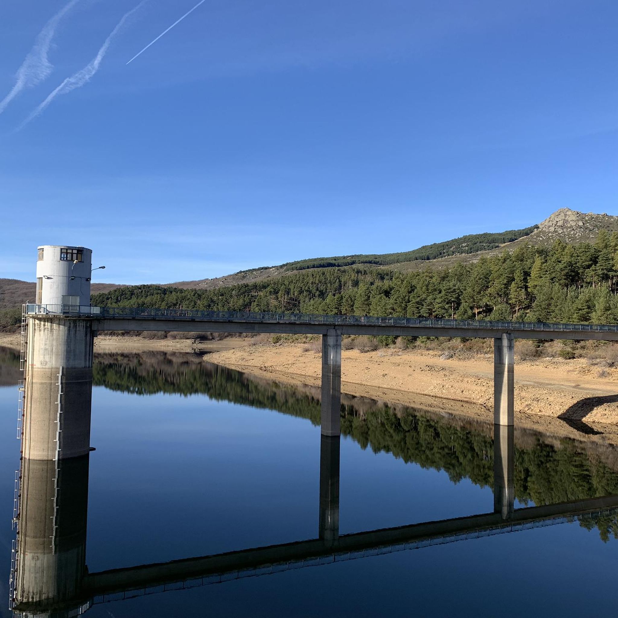
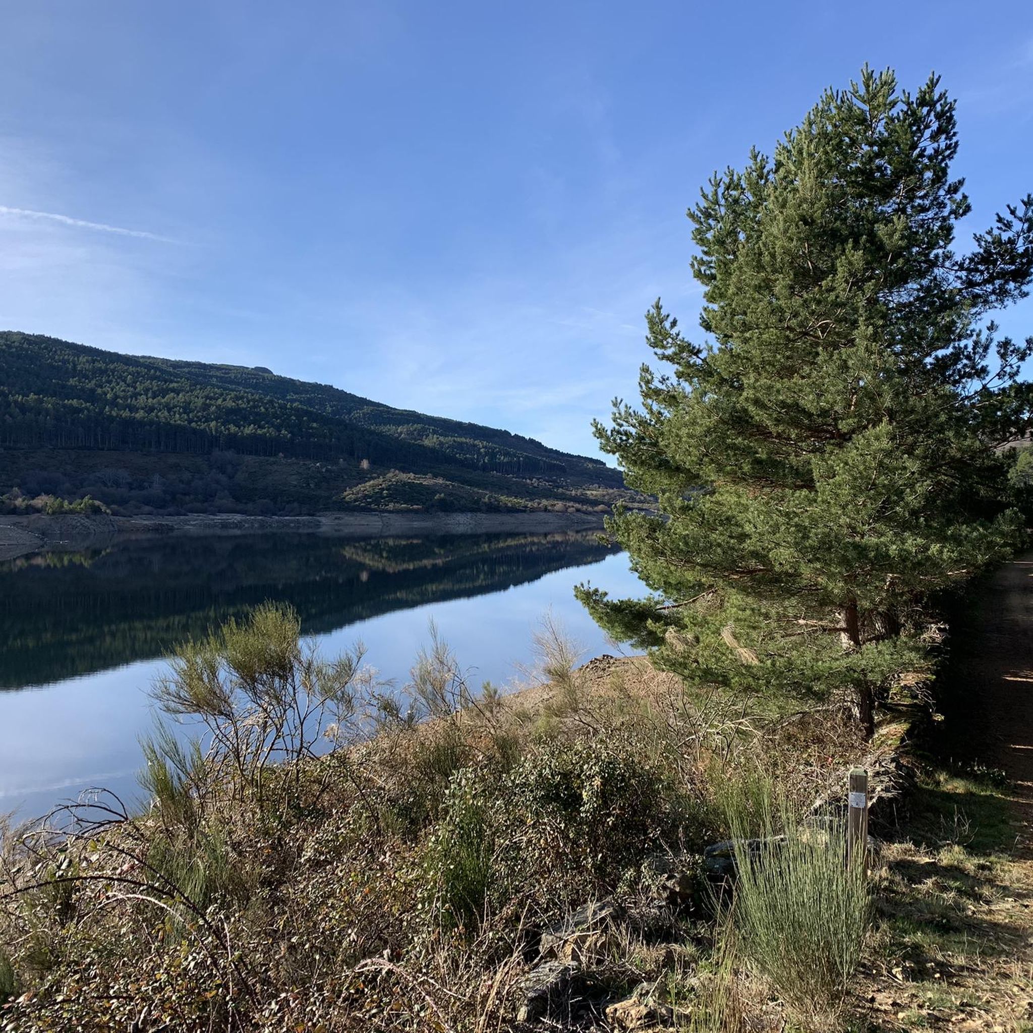
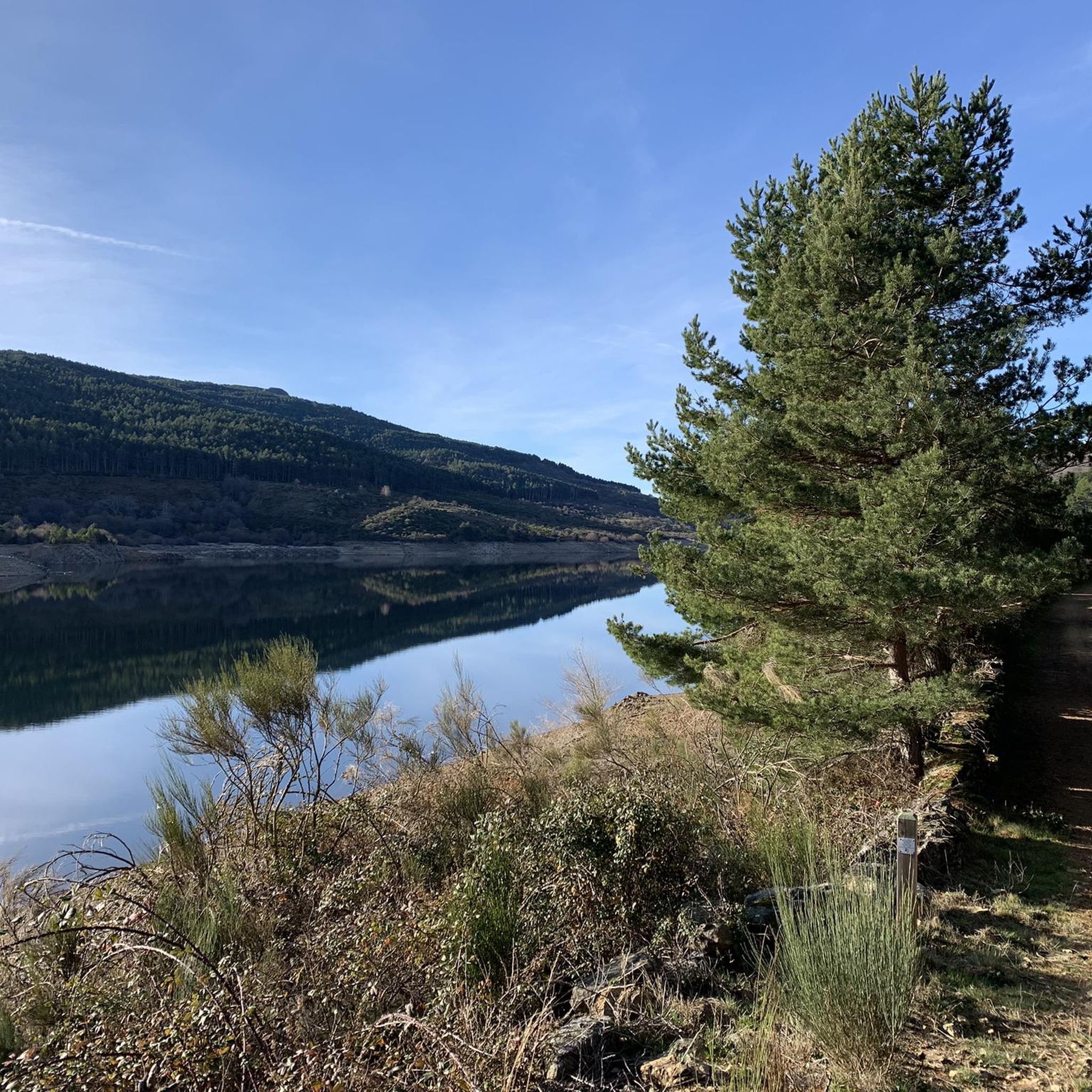
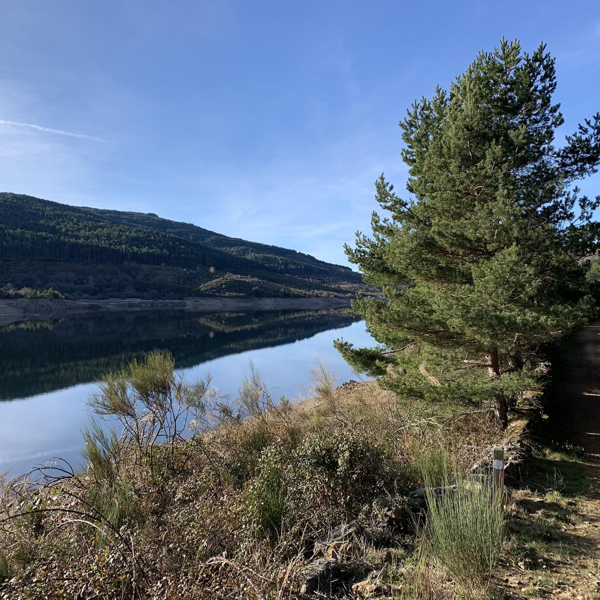
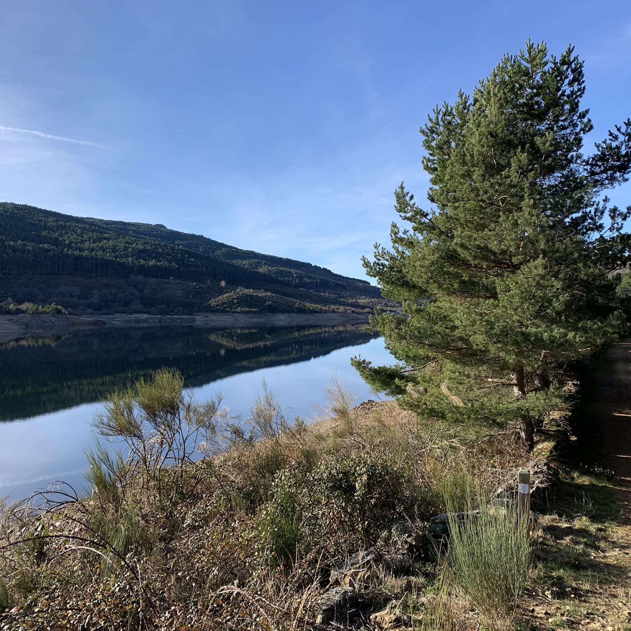
Gravel biking around Embalse de Navamuño offers routes through a rugged mountainous landscape within the Sierra de Candelario Natural Area. The region features challenging ascents and panoramic views of the reservoir and the valley of the Cuerpo de Hombre River. Trails traverse diverse vegetation, including Scots pine forests and riverside flora, with varied surfaces such as gravel, natural paths, and unpaved sections. The Embalse de Navamuño, fed by the Angostura River, provides a scenic backdrop for these routes.
Best gravel…
Last updated: June 29, 2026
18
riders
70.6km
04:03
760m
760m
Hard gravel ride. Very good fitness required. Mostly paved surfaces. Suitable for all skill levels.
9
riders
63.4km
05:11
1,290m
1,290m
Hard gravel ride. Very good fitness required. Mostly paved surfaces. Suitable for all skill levels.

Sign up for free
5.0
(1)
4
riders
78.3km
05:06
1,570m
1,580m
Hard gravel ride. Very good fitness required. Mostly paved surfaces. Suitable for all skill levels.
5.0
(1)
6
riders
38.3km
02:40
650m
650m
Hard gravel ride. Very good fitness required. Mostly paved surfaces. Suitable for all skill levels.
2
riders
51.4km
03:24
990m
990m
Hard gravel ride. Very good fitness required. Mostly paved surfaces. Suitable for all skill levels.
Our route recommendations are based on thousands of hikes, rides, and runs completed by other people on komoot.
Start today with a free account
Your next adventure awaits.
Login or Signup
Tips from the Community

Hervás is one of the founders of the Network of Jewish Quarters of the Sephardic Route and is also part of the Cooperation Network of the Silver Route.
17
0
Nice spot and you can also see the stork's nest above.
14
0
Hervás has magnificent architectural heritage such as the Davila Palace, a parish church, the monastery of the Trinitarian Fathers, etc. The largest collection of classic motorcycles in Europe!
7
0
The lighting works well coming from Hervas, but not the other way around. The 2nd part is really pitch black! (May 2026).
9
0
Usually cozy here, but today deserted.
9
0
The origin of this via verde lies in the transport of silver. the Silver Route (Vía de la Plata) runs through. However, pilgrims do not walk through the village itself, which is characterized by its typical local architecture; instead, the pilgrim route stays to the left of the village
9
0

Frequently Asked Questions
What kind of terrain can I expect on gravel bike trails around Embalse de Navamuño?
The trails around Embalse de Navamuño offer a diverse gravel biking experience, traversing a mix of surfaces including gravel, natural paths, asphalt, and unpaved sections. You'll encounter rugged mountainous terrain within the Sierra de Candelario Natural Area, with challenging ascents and descents.
Are there any easy gravel bike routes suitable for beginners or families?
While many routes in the area are considered difficult, there is at least one moderate option. The View of Hervás – Vía Verde de la Plata loop from Baños de Montemayor is a 19.6 km route with moderate difficulty, making it a good choice for those looking for a less strenuous ride. For families, it's always recommended to check the specific route details for elevation and technical sections.
What are the best viewpoints or natural features to look out for along the routes?
The region is known for its stunning natural beauty. You can expect panoramic 360-degree views of the Embalse de Navamuño itself and the valley of the Cuerpo de Hombre River. The trails also pass through diverse vegetation, including Scots pine forests and areas with rich riverside flora like birch and hazel trees. The impressive dam, over 70 meters tall, is also a significant landmark.
How many gravel bike trails are available in the Embalse de Navamuño area?
There are 7 gravel bike routes available in the Embalse de Navamuño area, ranging from moderate to difficult. This includes 1 moderate route and 6 difficult routes, offering options for various fitness levels.
Can I combine different routes to create a longer gravel biking tour?
Yes, the region offers possibilities to connect routes. For example, the Embalse de Navamuño path can be linked with other local routes, such as the 'Central Eléctrica La Abeja – Llano Alto' route, to create longer, circular tours and extend your gravel biking adventure.
What is the best time of year to go gravel biking around Embalse de Navamuño?
The region offers a serene and remote feel, ideal for escaping into nature. While specific seasonal recommendations aren't provided, considering the mountainous terrain, spring and autumn generally offer pleasant temperatures for cycling. Summers can be warm, and winters might bring challenging conditions, so checking local weather forecasts is always advisable.
Are there any circular gravel bike routes available?
Yes, many of the routes in the area are designed as loops. For instance, the popular View of Hervás – Casas del Monte Rest Area loop from Béjar is a long circular route. You can also combine sections of different paths to create your own circular tours.
Is there public transport available to reach the gravel biking trails?
The region offers a sense of solitude and natural immersion, which often means public transport options might be limited directly to trailheads. It's recommended to research specific bus routes or train connections to nearby towns like Béjar or Candelario, and then plan for a short ride or transfer to reach the starting points of the trails.
Where can I park my car when visiting the Embalse de Navamuño for gravel biking?
While specific parking locations aren't detailed, areas around the Embalse de Navamuño and nearby towns that serve as starting points for routes typically have designated parking. It's advisable to check maps or local information for parking facilities near popular trailheads or access points to the reservoir.
What is the longest gravel bike route in the area?
The longest gravel bike route available is the View of Hervás – Casas del Monte Rest Area loop from Béjar, which spans 118.6 km and is classified as difficult. This route offers extensive riding through the mountainous landscape.
Are the gravel bike trails around Embalse de Navamuño well-maintained and marked?
Many trails in the area, such as the Sendero Pantano de Navamuño - Llano Alto, are described as being in good condition and well-marked. This generally makes them accessible and easier to navigate for exploration.
What kind of natural environment will I experience on these gravel routes?
You'll experience a rich natural environment, transitioning through Scots pine forests and areas with lush riverside flora, including birch and hazel trees. The trails often alternate between sunny and shaded sections, providing varied scenery and a pleasant riding experience through the Sierra de Candelario Natural Area.
Most popular routes around Embalse de Navamuño

Get inspired with the komoot mobile app


Explore more
Browse the best Gravel rides in other regions.
