The best running trails around Niederneukirchen
4.1
(165)
8,126
runners
470
runs
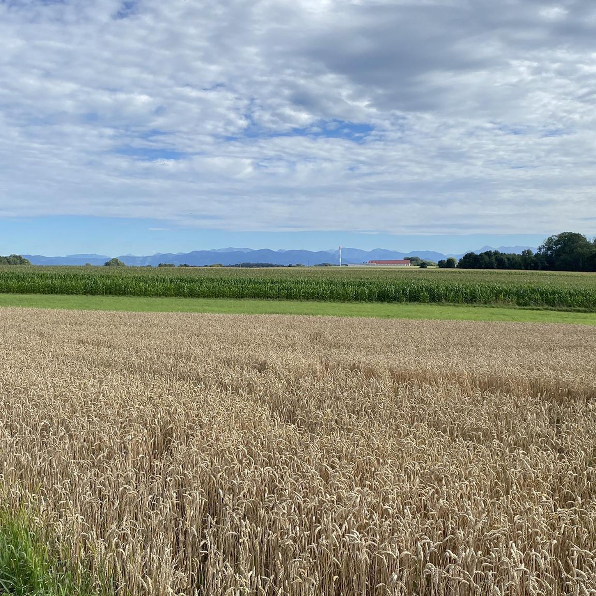
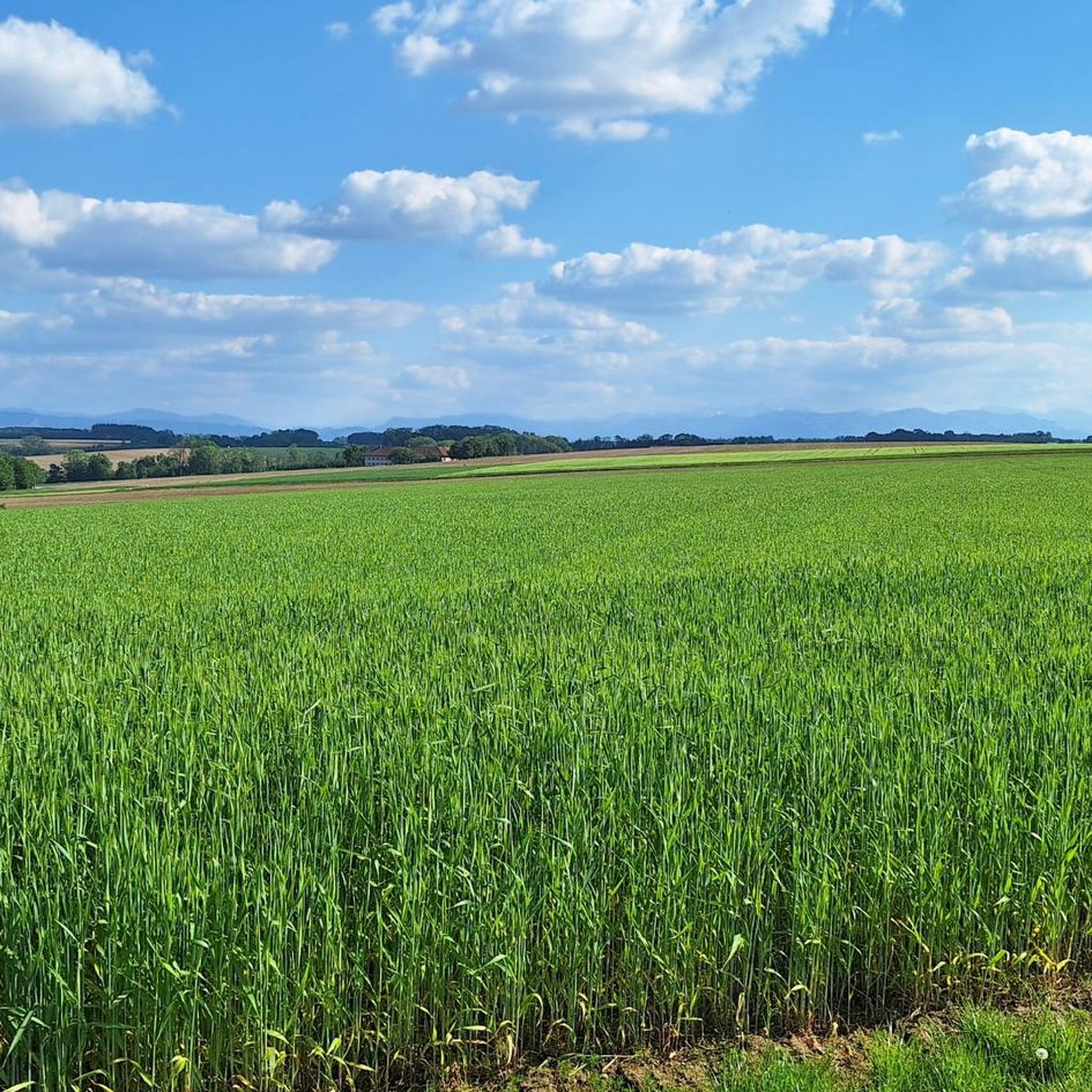
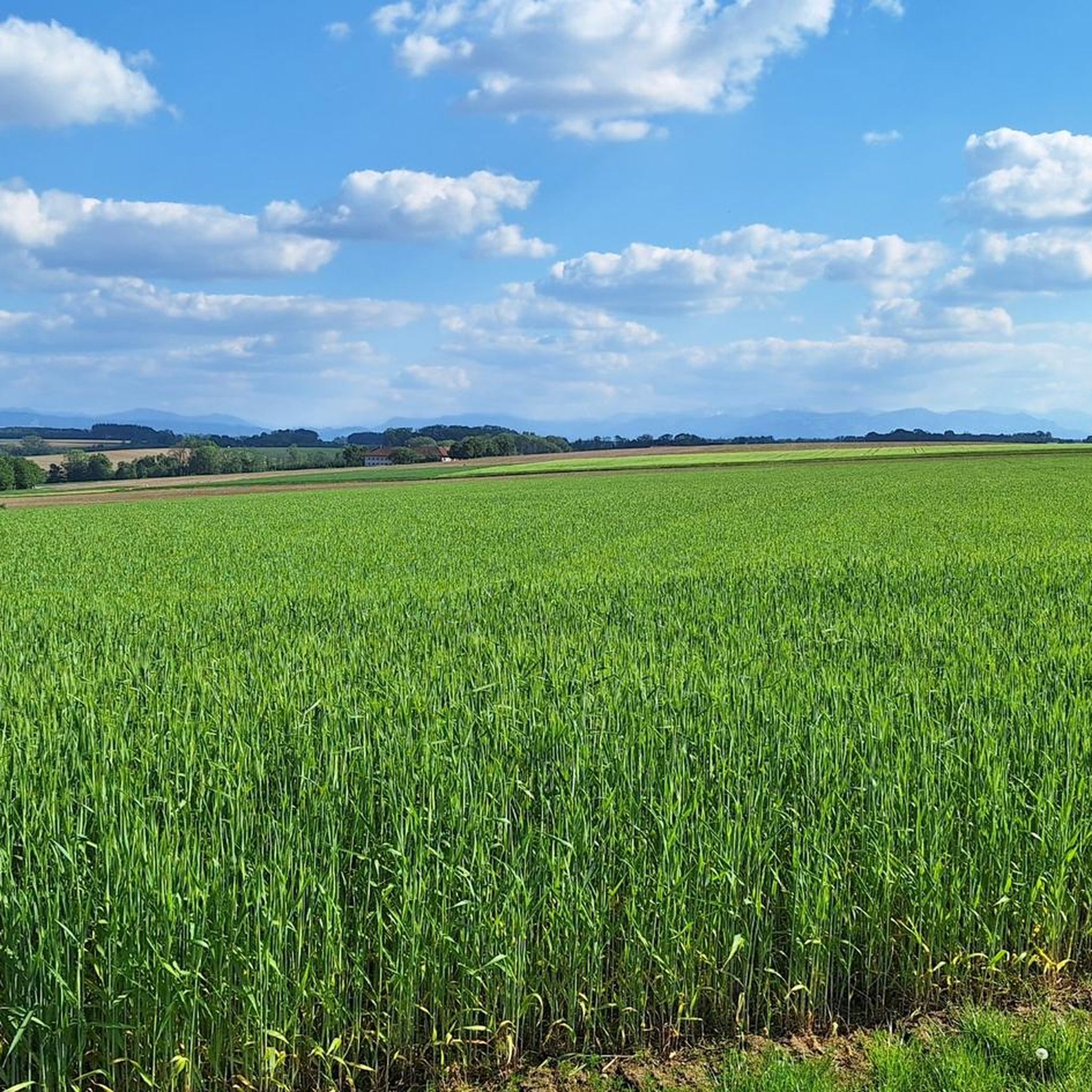
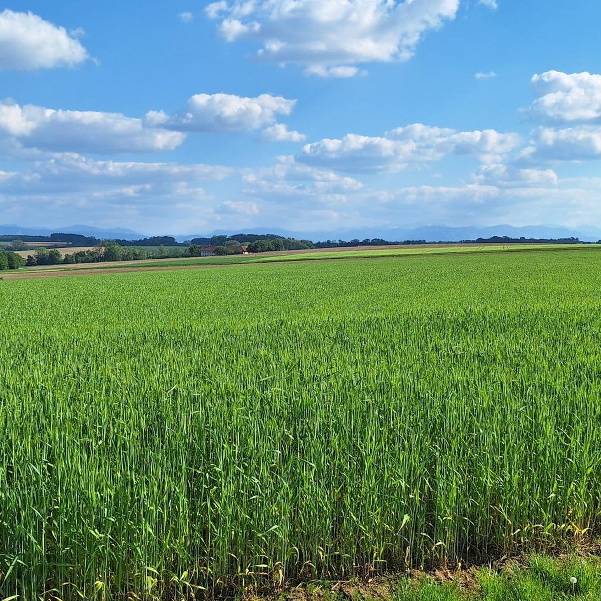
Jogging around Niederneukirchen offers diverse landscapes, including rolling hills, lush meadows, and forests, making it an engaging area for runners in the Linz-Land region of Austria. The terrain features a mix of paved surfaces and natural trails, suitable for various running preferences. Elevation changes are generally moderate, with some routes offering more significant gains for those seeking a challenge. The area is also characterized by the presence of the Aist River, providing scenic riverside running opportunities.
Best jogging routes around…
Last updated: May 15, 2026
14
runners
7.05km
00:44
70m
60m
Moderate run. Good fitness required. Mostly paved surfaces. Suitable for all skill levels.
6
runners
10.7km
01:08
130m
130m
Moderate run. Good fitness required. Mostly paved surfaces. Suitable for all skill levels.

Sign up for free
5
runners
5.81km
00:37
90m
90m
Moderate run. Good fitness required. Mostly paved surfaces. Suitable for all skill levels.
4
runners
5.87km
00:38
90m
90m
Moderate run. Good fitness required. Mostly paved surfaces. Suitable for all skill levels.
2
runners
18.7km
01:59
190m
190m
Hard run. Very good fitness required. Mostly paved surfaces. Suitable for all skill levels.
Get access to more routes and recommendations from other explorers.
Sign up for free
Already have an account?
Our route recommendations are based on thousands of hikes, rides, and runs completed by other people on komoot.
Start today with a free account
Your next adventure awaits.
Login or Signup

Tips from the Community

The beautiful castle on the quiet side street now houses a hunting museum
0
0

Hohenbrunn Castle, a historic gem in St. Florian, is known for its impressive architecture and picturesque surroundings. Surrounded by lush gardens and a tranquil pond, the castle offers a glimpse into the splendor of times gone by. Visitors can explore the ornately designed rooms and discover the castle's rich history, which dates back to the Middle Ages. Events and tours allow one to fully appreciate the cultural significance and beauty of Hohenbrunn Castle.
1
0

The Hohenbrunn Castle was built by the famous Baroque master builder Jakob Prandauer and has served as a hunting museum since 1963.
6
0
Frequently Asked Questions
What kind of terrain can I expect on the running trails around Niederneukirchen?
The running routes in Niederneukirchen feature diverse landscapes, including rolling hills, lush green meadows, and picturesque forests. You'll find a mix of mostly paved surfaces and natural trails, offering a comfortable and varied running experience. The area is also characterized by the scenic Aist River, providing pleasant riverside running opportunities.
Are there running routes suitable for beginners or those looking for an easy jog?
Yes, Niederneukirchen offers several routes ideal for beginners or those seeking an easier run. Many shorter loops, some up to 3 miles, have moderate elevation changes and are suitable for all skill levels. For example, the Running loop from Niederneukirchen is a moderate 5.8 km (3.6 miles) trail that provides a pleasant experience without significant challenges.
Where can I find longer or more challenging running routes in the area?
For runners seeking a greater challenge, Niederneukirchen offers longer routes with more significant elevation gains. The Schloss Hohenbrunn loop from Niederneukirchen is an 18.7 km (11.6 miles) trail leading through the countryside, offering a more demanding run. Additionally, the climb to the 'Himmelreich' lookout point, while part of a hiking route, can be incorporated into a challenging run for spectacular panoramic views over the Mühlviertel region.
Are there any scenic viewpoints or natural features to see while running?
Absolutely! The region boasts several beautiful natural features. The Mouth of the Traun-Danube and the Traun Waterfall are notable natural monuments. For breathtaking vistas, the Sonnberg Summit offers expansive views, and the 'Himmelreich' lookout point provides spectacular panoramic views over the entire Mühlviertel region.
What is the best time of year for running in Niederneukirchen?
The best seasons for outdoor activities like running in Niederneukirchen are spring and autumn. During these times, the weather is mild, and the natural scenery is at its most vibrant with blooming flora or colorful foliage. While summers can be warm, early morning or late evening runs are still enjoyable.
Are there any circular running routes available?
Yes, many of the running paths in Niederneukirchen are designed as circular routes, allowing you to start and end at the same point. A popular option is the Gemeindeteich loop from Niederneukirchen, a moderate 10.7 km (6.6 miles) path that circles the communal pond and is largely paved.
What do other runners say about the trails in Niederneukirchen?
The running routes in Niederneukirchen are highly rated by the komoot community, with an average score of 4.2 stars from over 160 reviews. More than 8,000 runners have used komoot to explore the varied terrain, often praising the diverse landscapes, well-maintained paths, and scenic beauty of the area.
Are there any running routes that pass by lakes or rivers?
Yes, the Aist River trails offer leisurely runs along its banks, providing numerous resting places and picnic facilities. You can also find routes near lakes such as Pichlinger Lake or the Oedtersee Beach, which are popular spots for outdoor activities.
How many running routes are available in the Niederneukirchen area?
There are over 470 running routes available around Niederneukirchen, catering to various preferences and fitness levels. This includes a wide selection of moderate trails, as well as some easier and more difficult options.
Can I find running routes with good parking access?
While specific parking details for each route vary, Niederneukirchen is generally accessible, and many trailheads or starting points for routes like the Mayrbäuerlfeld loop from Niederneukirchen are typically located near village centers or accessible areas where parking is available. It's advisable to check the specific route details on komoot for precise parking information.
Are there any historical landmarks or points of interest along the running trails?
Yes, some routes, like the Schloss Hohenbrunn loop from Niederneukirchen, lead through the countryside towards historical sites such as Schloss Hohenbrunn, offering a blend of natural beauty and cultural interest during your run.
Most popular routes around Niederneukirchen
Most popular attractions around Niederneukirchen

Get inspired with the komoot mobile app


Explore more
Browse the best Running Trails & Routes in other regions.
