The best gravel rides in Forêt De Malmort
4.7
(5)
38
riders
5
rides
Gravel biking in Forêt De Malmort offers diverse terrain characterized by forest tracks, stony paths, and quiet country roads. The region features varied landscapes including pine and alluvial forests, alongside areas with limestone plateaus and plains. Cyclists can expect routes that traverse hillsides dotted with vineyards and orchards, providing a mix of natural beauty and agricultural scenery. The area's topography includes both gentle sections and more challenging inclines, suitable for different skill levels.
Best gravel bike trails in Forêt De…
Last updated: July 4, 2026
4.0
(3)
11
riders
30.7km
02:32
930m
930m
Hard gravel ride. Very good fitness required. Mostly paved surfaces. Suitable for all skill levels.
2
riders
15.8km
01:21
370m
370m
Moderate gravel ride. Good fitness required. Mostly paved surfaces. Suitable for all skill levels.

Sign up for free
1
riders
11.5km
00:52
300m
300m
Moderate gravel ride. Good fitness required. Mostly paved surfaces. Suitable for all skill levels.
5.0
(1)
10
riders
51.1km
03:43
1,220m
1,220m
Hard gravel ride. Very good fitness required. Mostly paved surfaces. Suitable for all skill levels.
5.0
(1)
14
riders
48.4km
03:54
1,170m
1,170m
Hard gravel ride. Very good fitness required. Mostly paved surfaces. Suitable for all skill levels.
Our route recommendations are based on thousands of hikes, rides, and runs completed by other people on komoot.
Start today with a free account
Your next adventure awaits.
Login or Signup

Tips from the Community

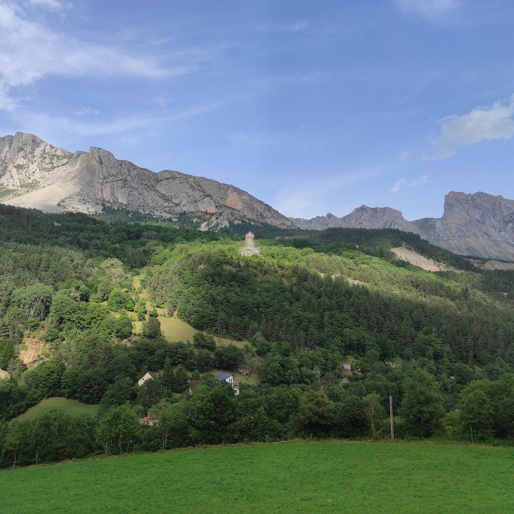
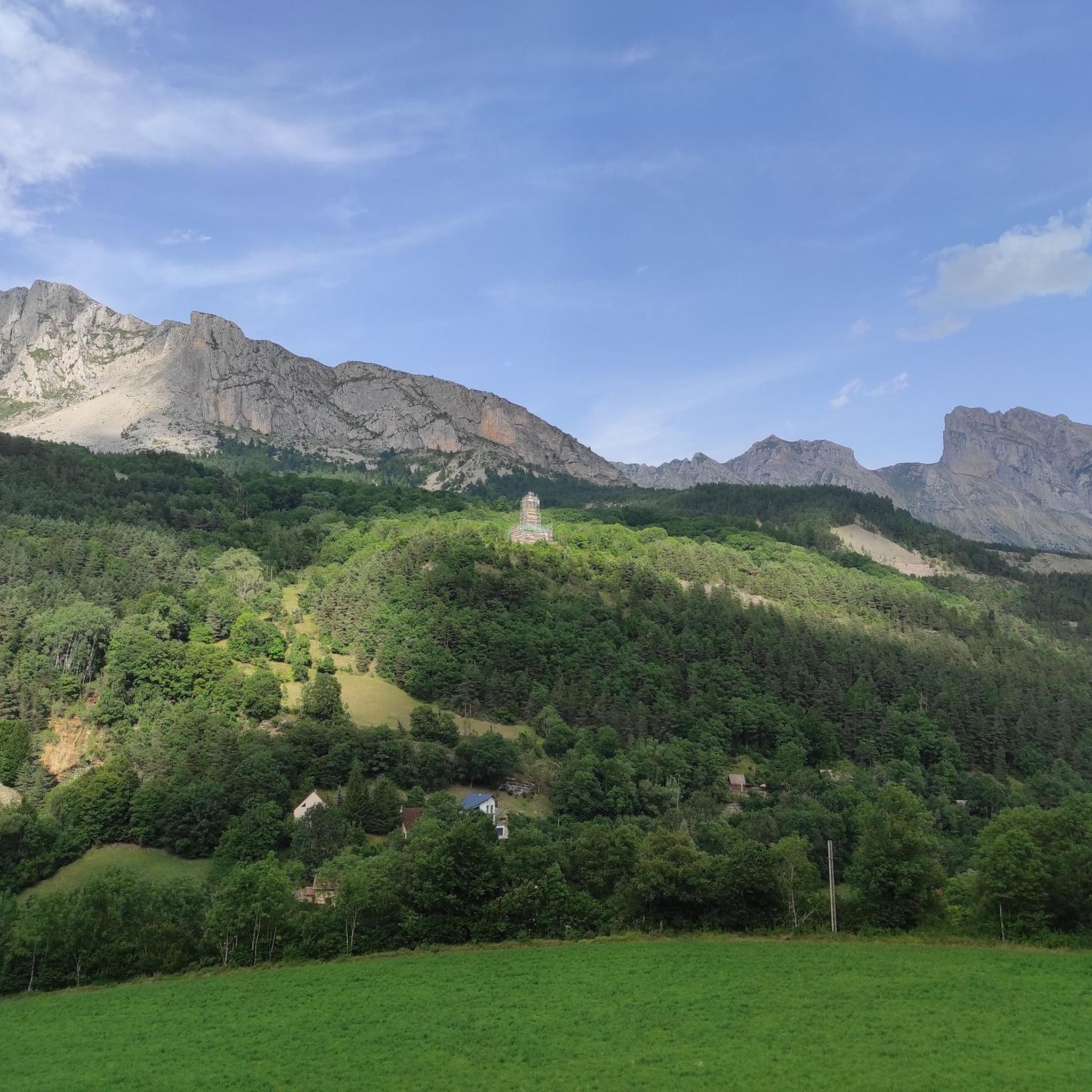
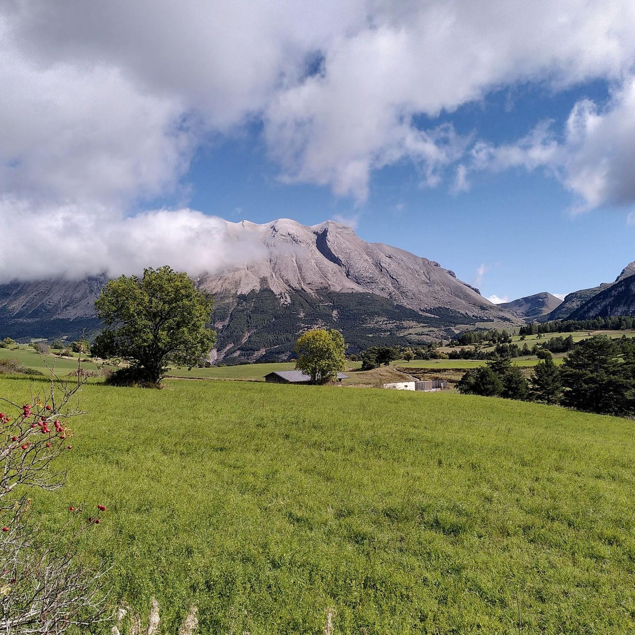
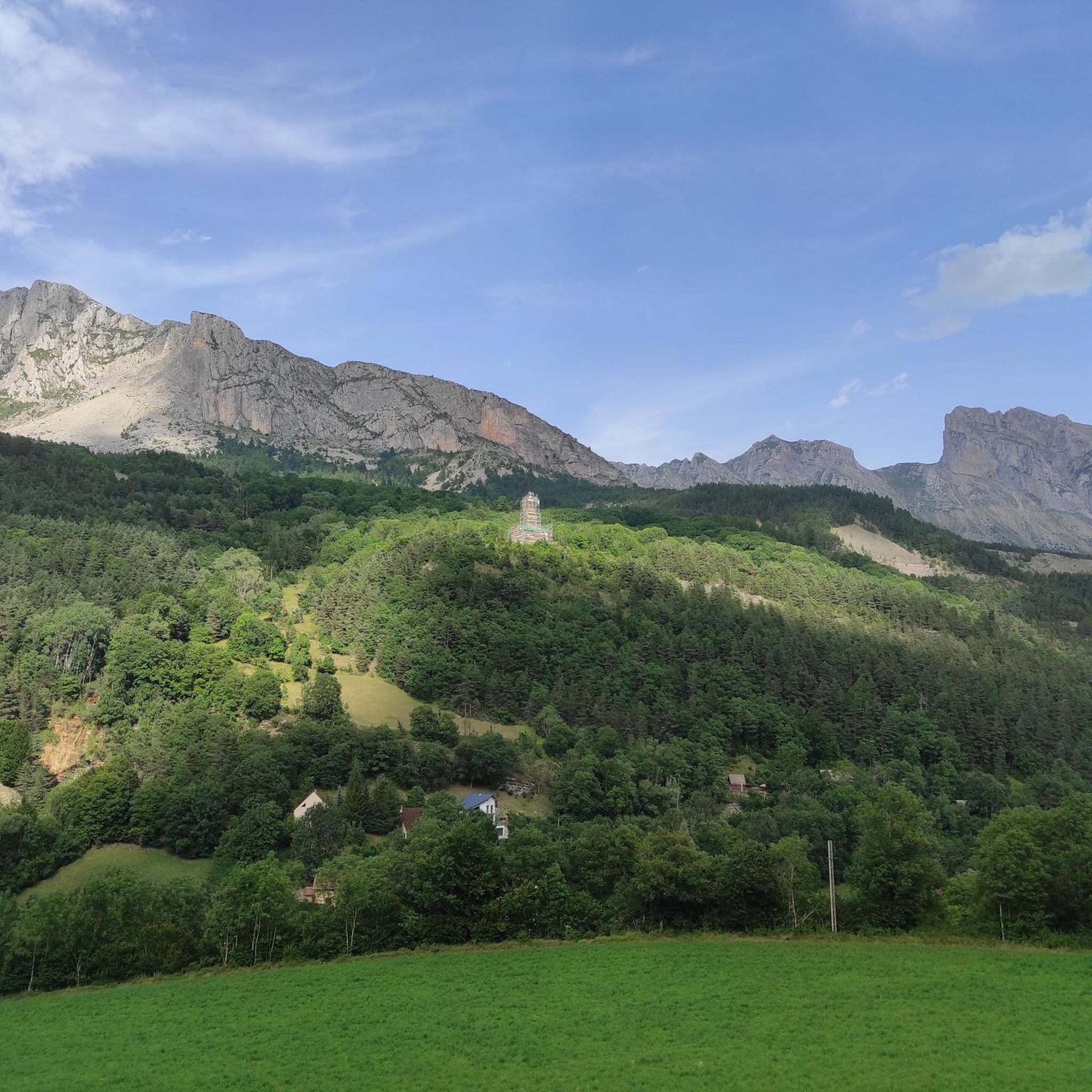
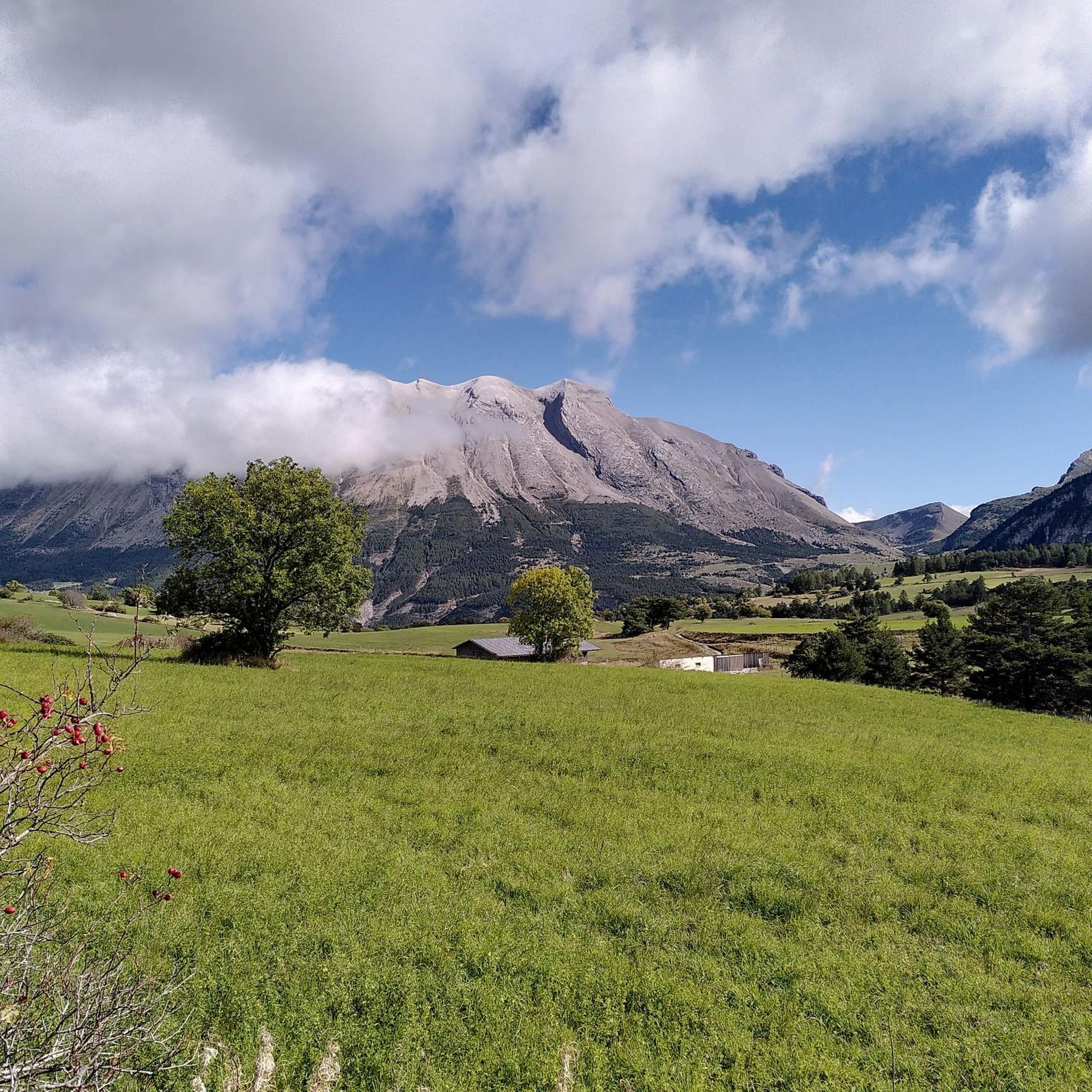
The Col du Festre is an Alpine pass located in the Dévoluy massif, in the Hautes-Alpes department, at an altitude of 1,441 meters. It connects the Buëch valley with that of the Souloise and is one of the main accesses to the Dévoluy territory.
5
0

short, it's almost not worth turning on the light.
0
0
Cozy, regular ascent, unfortunately a bit of traffic.
0
0

Beautiful pass with a great panorama and little traffic!
0
0
Beautiful pass with a great panorama and little traffic!
0
0

Interesting crossing point.
23
0
Frequently Asked Questions
What kind of terrain can I expect on gravel bike trails in Forêt De Malmort?
Gravel biking in the Forêt De Malmort region offers a diverse mix of terrain. You'll encounter forest tracks, stony paths, and quiet country roads. The landscape varies from pine and alluvial forests to areas with limestone plateaus, plains, and hillsides dotted with vineyards and orchards. Routes can range from gentle sections to more challenging inclines.
Are there gravel bike routes suitable for beginners or families in Forêt De Malmort?
While the Forêt De Malmort area features some challenging routes, there are also moderate options available. For example, the Col du Festre (1441 m) – Col du Festre loop from Le Hameau des Cimes is a moderate 15.8 km path, and the L eterlou loop from Saint-Étienne-en-Dévoluy is a moderate 11.6 km trail. These routes offer varied terrain without the most extreme elevation gains, making them more accessible.
What are some challenging gravel bike routes for experienced riders in Forêt De Malmort?
Experienced gravel bikers looking for a challenge will find several difficult routes. The La Joue du Loup – Great street, great view loop from Le Dévoluy is a difficult 30.7 km trail with significant elevation gain. Another demanding option is the Col du Festre – Col du Festre (1441 m) loop from SuperDévoluy, which spans over 51 km and features substantial climbing.
What notable landscapes or attractions can I see along the gravel bike trails?
The region offers a rich tapestry of natural beauty and historical interest. You can expect to traverse pine and alluvial forests, ride through vineyards and orchards, and enjoy views of limestone plateaus. Depending on the specific route, you might encounter rivers like the Durance or Lot, and even spectacular gorges such as the Nesque Gorge. Historical elements like Romanesque churches and traditional dry-stone structures (bories) can also be found.
Are there circular gravel bike routes in Forêt De Malmort?
Yes, many of the gravel bike routes in the Forêt De Malmort area are designed as loops, allowing you to start and end at the same point. Examples include the Col du Festre (1441 m) – Col du Festre loop from Le Hameau des Cimes and the L eterlou loop from Saint-Étienne-en-Dévoluy, providing convenient circular journeys.
What is the best time of year to go gravel biking in Forêt De Malmort?
The diverse landscapes of the Forêt De Malmort region, with its forests, vineyards, and varied terrain, are generally enjoyable throughout the spring, summer, and autumn months. Spring offers lush greenery and blooming orchards, while autumn provides vibrant foliage. Summers are typically warm, making early mornings or late afternoons ideal for rides. Always check local weather conditions before heading out.
Is parking available near the gravel bike trailheads?
While specific parking locations for every trailhead are not detailed, the areas around towns like Malemort-Du-Comtat and Mallemort, which are central to the region, typically offer public parking options. Many routes, especially those starting from villages or popular outdoor activity hubs, will have designated parking areas nearby. It's advisable to check the starting point of your chosen route on komoot for specific parking information.
What do other gravel bikers say about the routes in Forêt De Malmort?
The gravel biking routes in Forêt De Malmort are highly rated by the komoot community, with an average score of 4.8 stars from over 8 reviews. Riders often praise the varied forest tracks, quiet country roads, and the beautiful scenery, including hillsides with vineyards and orchards. The diverse terrain offers something for both moderate and difficult ability levels, making it a popular choice for exploration.
Are there any routes that feature rivers or gorges?
Yes, the broader region around Forêt De Malmort is known for its stunning natural features. The Durance River greenway near Mallemort offers shaded paths and views of braided landscapes. Further afield, the Nesque Gorge near Malemort-Du-Comtat is highlighted as a wonderful road with incredible views, ideal for cycling, and the Lot Valley features routes along its namesake river and through spectacular canyons like Bozouls.
How long are the gravel bike routes typically in Forêt De Malmort?
The gravel bike routes in Forêt De Malmort vary significantly in length to suit different preferences and fitness levels. You can find shorter routes like the L eterlou loop from Saint-Étienne-en-Dévoluy at 11.6 km, or longer, more challenging rides such as the Col du Festre – Col du Festre (1441 m) loop from SuperDévoluy, which extends over 51 km.
What kind of gear should I bring for gravel biking in Forêt De Malmort?
Given the varied terrain of forest tracks, stony paths, and country roads, a gravel-specific bike with appropriate tires (e.g., 38-45mm wide with good tread) is recommended for comfort and traction. Essential gear includes a helmet, water, snacks, a repair kit (spare tube, pump, tire levers), and navigation tools. Depending on the season, layers of clothing are advisable, and for longer rides, consider a small backpack for extra supplies.
Most popular routes in Forêt De Malmort

Get inspired with the komoot mobile app


Explore more
Browse the best Gravel rides in other regions.
