The best gravel rides around Bois-Normand-Près-Lyre
4.3
(4)
9
riders
3
rides
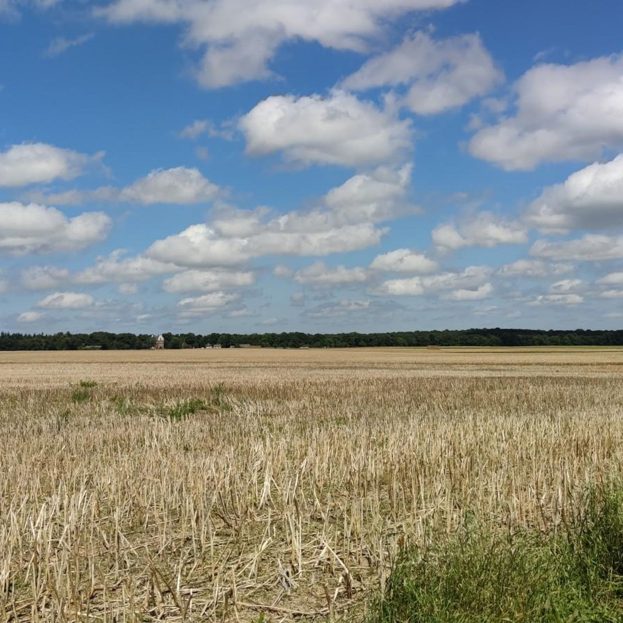
Gravel biking around Bois-Normand-Près-Lyre offers routes through the traditional Norman bocage landscape. The terrain features a mix of fields, hedgerows, and woodlands, providing varied environments for cycling. Elevations in the area range from 165m to 215m, indicating a gently rolling to moderately hilly profile. Routes often traverse pleasant paths through meadows and forests, with some incorporating scenic views of valleys and countryside.
Best gravel bike trails around Bois-Normand-Près-Lyre
- The most popular gravel bike trail is Church of Notre-Dame-Outre-l'Eau – Menhir…
Last updated: July 10, 2026
5.0
(1)
2
riders
45.1km
03:04
250m
250m
Moderate gravel ride. Good fitness required. Mostly paved surfaces. Suitable for all skill levels.
3.7
(3)
5
riders
43.3km
02:37
180m
180m
Moderate gravel ride. Good fitness required. Mostly paved surfaces. Suitable for all skill levels.

Sign up for free
1
riders
34.0km
02:01
190m
190m
Hard gravel ride. Good fitness required. You may need to push your bike for some segments of this route.
Our route recommendations are based on thousands of hikes, rides, and runs completed by other people on komoot.
Start today with a free account
Your next adventure awaits.
Login or Signup



Tips from the Community

Very pleasant following the Risle
0
0
At the end of the 19th century, Mayor Désiré Guillemare decided that his village would be unlike any other. Each house built would be topped with a twisted chimney made of local brick.
0
0

Right next to the town hall, the ideal place for a break
0
0

Along this old railway line, you can enjoy the vast open trails.
2
0

Notre-Dame church (former): classification by decree of March 16, 1921
0
0
The church was built between the 12th and 13th centuries. The bell tower and the Sacré-Choeur chapel date from the 16th century.
0
0
Menhir of Gargantua dating from the Neolithic.
0
0

This pretty little menhir is located near the Risle. It is nicknamed "the tooth of Gargantua".
2
0
Frequently Asked Questions
What kind of terrain can I expect on gravel bike trails around Bois-Normand-Près-Lyre?
The region is characterized by its picturesque Norman bocage landscape, offering a mix of fields, hedgerows, and woodlands. You'll traverse pleasant paths through meadows and forests, with some routes providing scenic views of valleys and the countryside. The elevation ranges from 165m to 215m, indicating a gently rolling to moderately hilly profile.
Are there any family-friendly gravel bike routes in the area?
While specific 'family-friendly' designations aren't provided, the terrain around Bois-Normand-Près-Lyre is generally described as gently rolling to moderately hilly, with pleasant paths through meadows and forests. This suggests many routes could be suitable for families, especially those comfortable with moderate distances. For example, the Saint-Antonin Church – Voie verte des pays de L'Aigle loop from Rugles is a moderate 30 km route that could be a good option.
What natural features can I see while gravel biking in Bois-Normand-Près-Lyre?
You'll primarily experience the serene Norman bocage, a traditional landscape of small fields, hedgerows, and woodlands. Routes often pass through extensive forests and open countryside. The Charentonne valley and the Risle river also shape the landscape, offering scenic views and glimpses of historical industrial heritage.
What do other gravel bikers enjoy most about the trails here?
The gravel biking routes around Bois-Normand-Près-Lyre are highly rated by the komoot community, with an average score of 4.25 stars from 3 reviews. Users often praise the varied terrain through meadows and forests, and the immersive experience of the traditional Norman bocage landscape.
Are there any circular gravel bike routes available?
Yes, many of the gravel bike routes in the area are loops. For instance, you can explore the Church of Notre-Dame-Outre-l'Eau – Menhir de Gargantua loop from Rugles, which is a 43.3 km moderate trail, or the Champignolles – Le Val Gallerand loop from La Ferrière-sur-Risle, a 45 km route through the Norman bocage.
What kind of landmarks or attractions can I discover along the gravel routes?
Beyond the natural beauty, the region boasts a rich historical heritage. You might encounter local churches like the Église Saint-Julien in Bois-Normand-Près-Lyre itself, or pass through charming villages. Nearby attractions include the village of Champignolles and the La Ferrière-sur-Risle Village Center. The broader Eure department also features numerous châteaux and historical monuments.
What is the best time of year for gravel biking in Bois-Normand-Près-Lyre?
The region's pleasant paths through meadows and forests are generally well-maintained, making it enjoyable across many seasons. Spring and autumn often offer comfortable temperatures and beautiful scenery, with the bocage landscape being particularly vibrant. Summer can also be excellent, especially for rides through shaded forest sections.
Are there options for longer gravel bike rides?
Yes, there are several routes that offer a good distance. For example, the Church of Notre-Dame-Outre-l'Eau – Menhir de Gargantua loop from Rugles covers over 50 km, providing a substantial ride through varied terrain.
How many gravel bike trails are listed for Bois-Normand-Près-Lyre?
There are 5 gravel bike trails listed for the Bois-Normand-Près-Lyre area, all categorized as moderate difficulty, offering diverse experiences through the Norman bocage, meadows, and forests.
Is there parking available for cyclists near the trailheads?
While specific parking locations for cyclists are not detailed, the presence of numerous trails starting from towns like Rugles and La Ferrière-sur-Risle suggests that parking facilities would be available within these villages or at common starting points for outdoor activities. It's advisable to check local signage upon arrival.
Can I bring my dog on the gravel bike trails?
The region features many paths through natural areas like forests and meadows. While specific regulations for dogs on bike trails are not provided, generally, dogs are welcome on trails in France if kept on a leash and under control. Always be mindful of local wildlife and other trail users.
What is the elevation profile like on these gravel routes?
The elevation in Bois-Normand-Près-Lyre ranges from 165m to 215m. This indicates a gently rolling to moderately hilly terrain, with routes featuring ascents and descents that are manageable for most gravel bikers. For example, the Champignolles – Le Val Gallerand loop from La Ferrière-sur-Risle has an elevation gain of approximately 252 meters.
Most popular routes around Bois-Normand-Près-Lyre
Most popular attractions around Bois-Normand-Près-Lyre

Get inspired with the komoot mobile app


Explore more
Browse the best Gravel rides in other regions.
