The best gravel rides around Bretoncelles
4.6
(14)
76
riders
6
rides
Gravel biking around Bretoncelles offers routes through the Perche Regional Natural Park, characterized by its bocage countryside, forests, and meadows. The terrain features undulating paths and dedicated greenways, including sections of old railway lines. River valleys, such as those of the Huisne, contribute to the verdant landscapes. The region provides a mix of flat, accessible paths and more challenging routes with moderate elevation changes.
Best gravel bike trails around Bretoncelles
- The most popular gravel bike trail is Voie verte in…
Last updated: October 27, 2026
4.8
(5)
36
riders
Moderate gravel ride. Good fitness required. Mostly paved surfaces.
4.5
(6)
25
riders
66.6km
03:20
300m
300m
Moderate gravel ride. Good fitness required. Mostly paved surfaces.

5.0
(1)
6
riders
49.9km
02:55
470m
470m
Hard gravel ride. Very good fitness required. Mostly paved surfaces.
6
riders
Easy gravel ride. Mostly paved surfaces.
1
riders
30.8km
02:09
310m
310m
Hard gravel ride. Good fitness required. You may need to push your bike for some segments of this route.
Our route recommendations are based on thousands of hikes, rides, and runs completed by other people on komoot.
Start today with a free account
Your next adventure awaits.

Tips from the Community

Nestled on hillsides painted with ochre, yellow, or pink sand, limestone, and lights, Mortagne-au-Perche is a must-see for anyone wanting to explore Le Perche. A favorite holiday resort of the Counts of Perche and their wives, Mortagne-au-Perche has managed to preserve its monuments and historical heritage. This medieval town brimming with character is recommended for exploring by bike or on foot.
0
0


Church built in the 12th and 16th centuries. Listed apse from the 12th century. 4-storey bell tower. Corner buttress bell with staircase turret. Renaissance portal. Large Gothic window above the portal. 16th century roof and nave. Stone statue of a bishop, 16th century paintings.
0
0
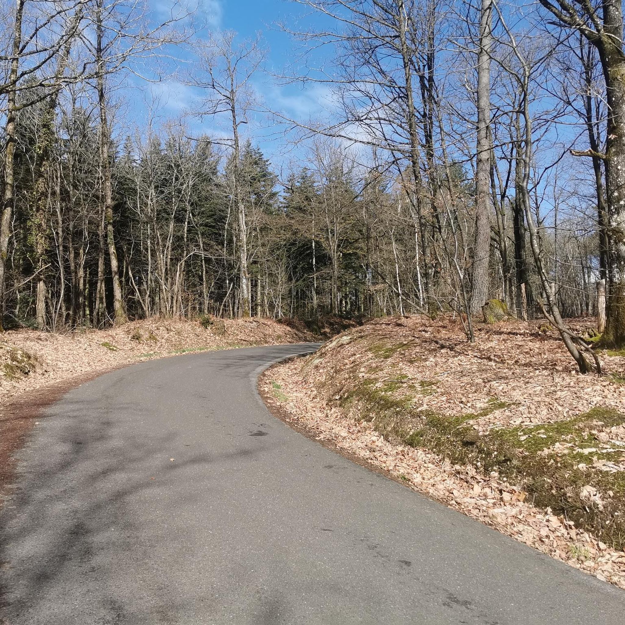
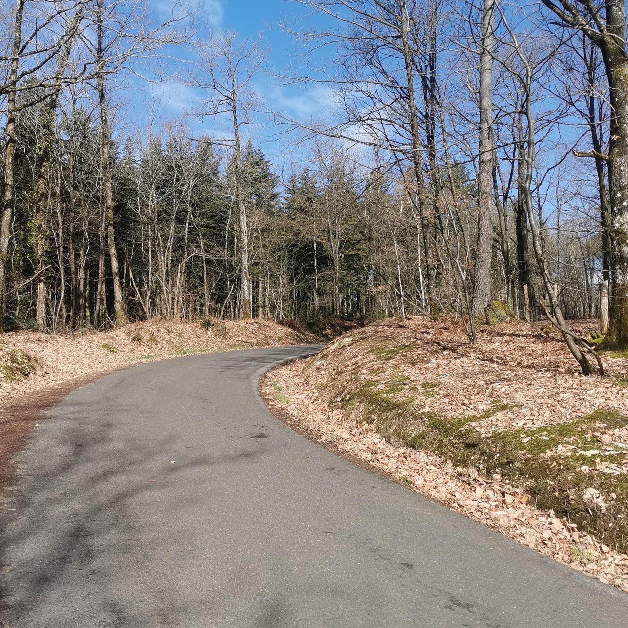
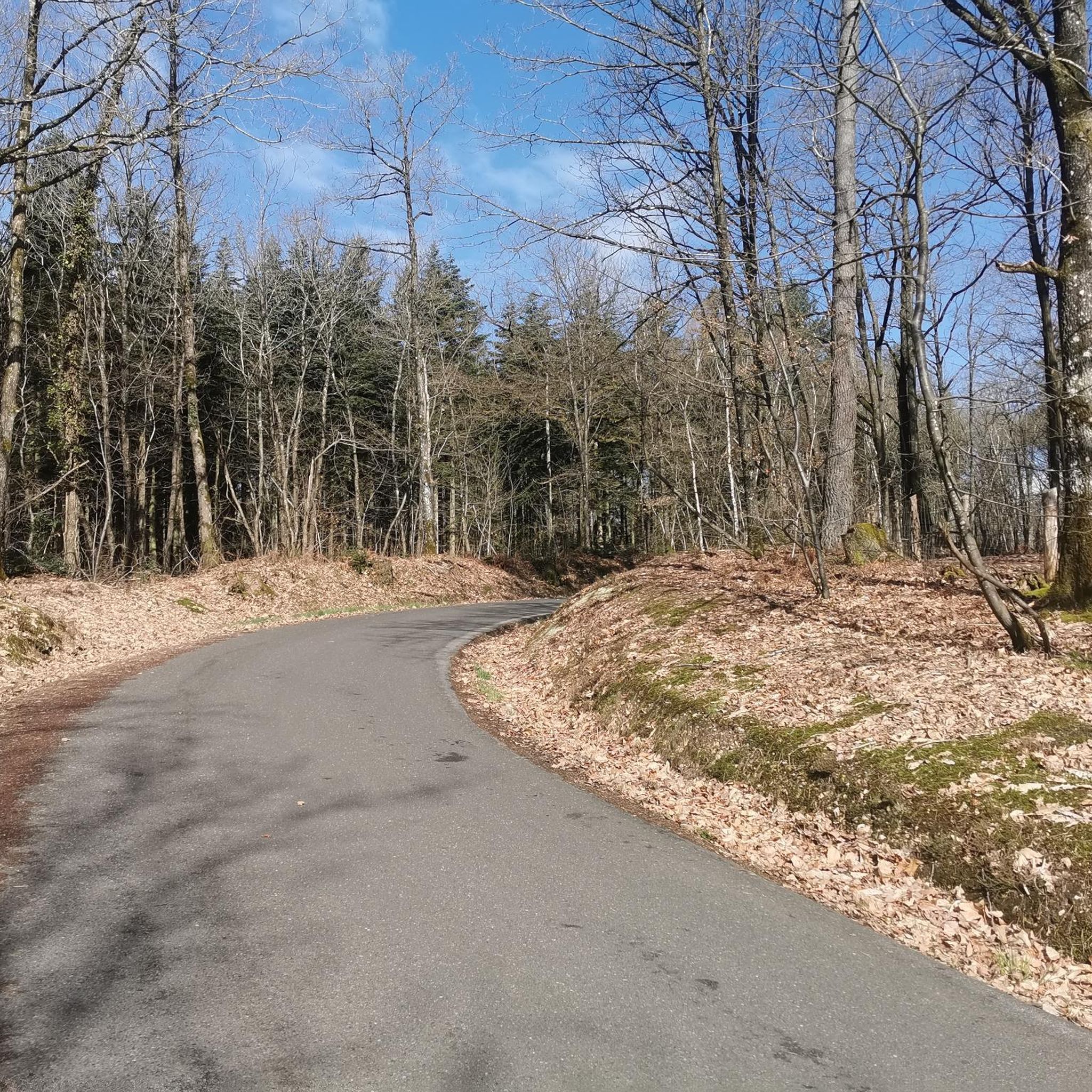
Always straight ahead. Slightly downhill, through the shady forest.
1
0
The Huisne is a river in central France, flowing in the regions of Normandy, Centre-Val de Loire and Pays de la Loire. It rises in the municipality of La Perrière, in the Perche Regional Nature Park, initially drains to the northeast, later to the southeast, finally turns to the southwest near Condé-sur-Huisne and, after around 165[2] kilometres, flows into the Sarthe in Le Mans as a left tributary.
3
0

Fresh water tap and toilet
0
0

Very beautiful start to the route with an arrival at this magnificent mill
2
0

Magnificent section of greenway. The vegetation forms an arc above the road, providing maximum shade on hot days. In places, the trees open a window onto the fields and the track approaches the river. A superb moment out of time.
0
0
Frequently Asked Questions
What kind of terrain can I expect on gravel bike trails around Bretoncelles?
Gravel biking around Bretoncelles primarily features routes through the Perche Natural Regional Park, characterized by its 'bocage' countryside, forests, and meadows. You'll find a mix of undulating paths and dedicated greenways, including sections of old railway lines like the Alençon–Condé-sur-Huisne Greenway. These greenways often have a stabilized compacted sand surface, making them ideal for gravel bikes. The terrain offers beautiful views without overly steep ascents, making for enjoyable rides.
How many gravel bike trails are available in the Bretoncelles area?
There are currently 6 gravel bike trails listed around Bretoncelles on komoot, offering a variety of experiences. These include 1 easy, 3 moderate, and 2 difficult routes, catering to different skill levels.
Are there options for different skill levels among the gravel routes?
Yes, the routes around Bretoncelles cater to various skill levels. You can find easy, moderate, and more difficult options. For example, the Voie verte in Dorceau – Above the Huisne loop from Saint-Pierre-la-Bruyère is a moderate route, while the Moutiers-au-Perche – On the greenway loop from Bretoncelles offers a more challenging, difficult experience.
What is the best time of year to go gravel biking in Bretoncelles?
The Perche Natural Regional Park, where Bretoncelles is located, offers pleasant conditions for gravel biking from spring through autumn. The lush forests and meadows are particularly beautiful during these seasons. While specific winter conditions are not detailed, the region's generally mild climate in Normandy suggests that many routes could be accessible outside of heavy snow or ice, though checking local weather is always recommended.
Are there any family-friendly gravel biking options in Bretoncelles?
Yes, the region's greenways are particularly suitable for families. The Alençon–Condé-sur-Huisne Greenway, for instance, offers a flat profile and a stabilized surface, making it accessible and enjoyable for various fitness levels, including families. Routes like the Above the Huisne – Beautiful bucolic greenway loop from Condé-sur-Huisne are shorter and less challenging, perfect for a family outing.
What are some scenic highlights or natural features I might encounter on the trails?
You'll traverse lush forests and expansive meadows within the Perche Natural Regional Park. The region is shaped by river valleys, including the Huisne and Sarthe rivers, contributing to verdant landscapes. The Vallée et marais de Bretoncelles (Valley and Marshes of Bretoncelles) is a significant natural feature with wetlands and diverse flora and fauna, offering a peaceful and scenic backdrop for your rides.
Are there any interesting landmarks or attractions along the gravel routes near Bretoncelles?
Yes, several points of interest can be found. The Former Rémalard-Bellou Station, now a restaurant, is conveniently located near a greenway and makes for a potential stop. You might also encounter charming villages and historical sites characteristic of the Perche region. The Alençon–Condé-sur-Huisne Greenway itself is a notable feature, following an old railway line.
What do other gravel bikers enjoy most about gravel biking in Bretoncelles?
The area is highly rated by the komoot community, with an average score of 4.5 stars from over 9 reviews. Reviewers often praise the diverse landscapes, the tranquility of the Perche Natural Regional Park, and the well-maintained greenways that offer a smooth and enjoyable riding experience.
Are there any long-distance gravel cycling routes available?
Yes, there are options for longer rides. For instance, the Above the Huisne – Voie verte in Dorceau loop from Condé-sur-Huisne is a substantial 66.6 km (41.4 miles) route, and the Moutiers-au-Perche – On the greenway loop from Bretoncelles covers 69.6 km (43.3 miles), offering a good challenge for those looking for extended rides.
Are the gravel routes around Bretoncelles typically circular?
Many of the gravel routes in the area are designed as loops, allowing you to start and end at the same point. Examples include the Voie verte in Dorceau – Above the Huisne loop from Saint-Pierre-la-Bruyère and the Villeray Mill – mill loop from Le Mage, providing convenient options for exploration.
Is there parking available near the gravel bike trails in Bretoncelles?
While specific parking locations are not detailed, the presence of greenways and country roads, often starting from villages like Condé-sur-Huisne or Saint-Pierre-la-Bruyère, suggests that parking facilities would be available in or near these starting points. It's advisable to check local village amenities for designated parking areas.
Can I access the gravel biking areas by public transport?
The region is well-connected by train, with the Alençon–Condé-sur-Huisne Greenway following an old railway line. This suggests that some starting points for gravel routes might be accessible via regional train services, though specific public transport links directly to trailheads would require checking local schedules.
Most popular routes around Bretoncelles
Most popular attractions around Bretoncelles

Get inspired with the komoot mobile app


Explore more
Browse the best Gravel rides in other regions.
