The best gravel rides around Ruynes-En-Margeride
4.0
(2)
8
riders
3
rides
Gravel biking around Ruynes-En-Margeride offers routes through the varied terrain of the Margeride region, characterized by its granite plateaus, forested areas, and river valleys. The landscape includes rolling hills and more significant ascents, providing a mix of challenges for gravel cyclists. This area is part of the Massif Central, featuring a rural environment with open stretches and wooded sections.
Best gravel bike trails around Ruynes-En-Margeride
- The most popular gravel bike trail is National Monument to the Maquis – Viewpoint at…
Last updated: May 13, 2026
4.0
(2)
6
riders
Hard gravel ride. Very good fitness required. Mostly paved surfaces. Suitable for all skill levels.
2
riders
43.1km
03:41
950m
950m
Hard gravel ride. Very good fitness required. Mostly paved surfaces. Suitable for all skill levels.

Sign up for free
2
riders
14.4km
01:32
500m
500m
Hard gravel ride. Very good fitness required. Mostly paved surfaces. Suitable for all skill levels.
Our route recommendations are based on thousands of hikes, rides, and runs completed by other people on komoot.
Start today with a free account
Your next adventure awaits.
Login or Signup
Popular around Ruynes-En-Margeride

The Grande traversée du Massif Central by gravel bike
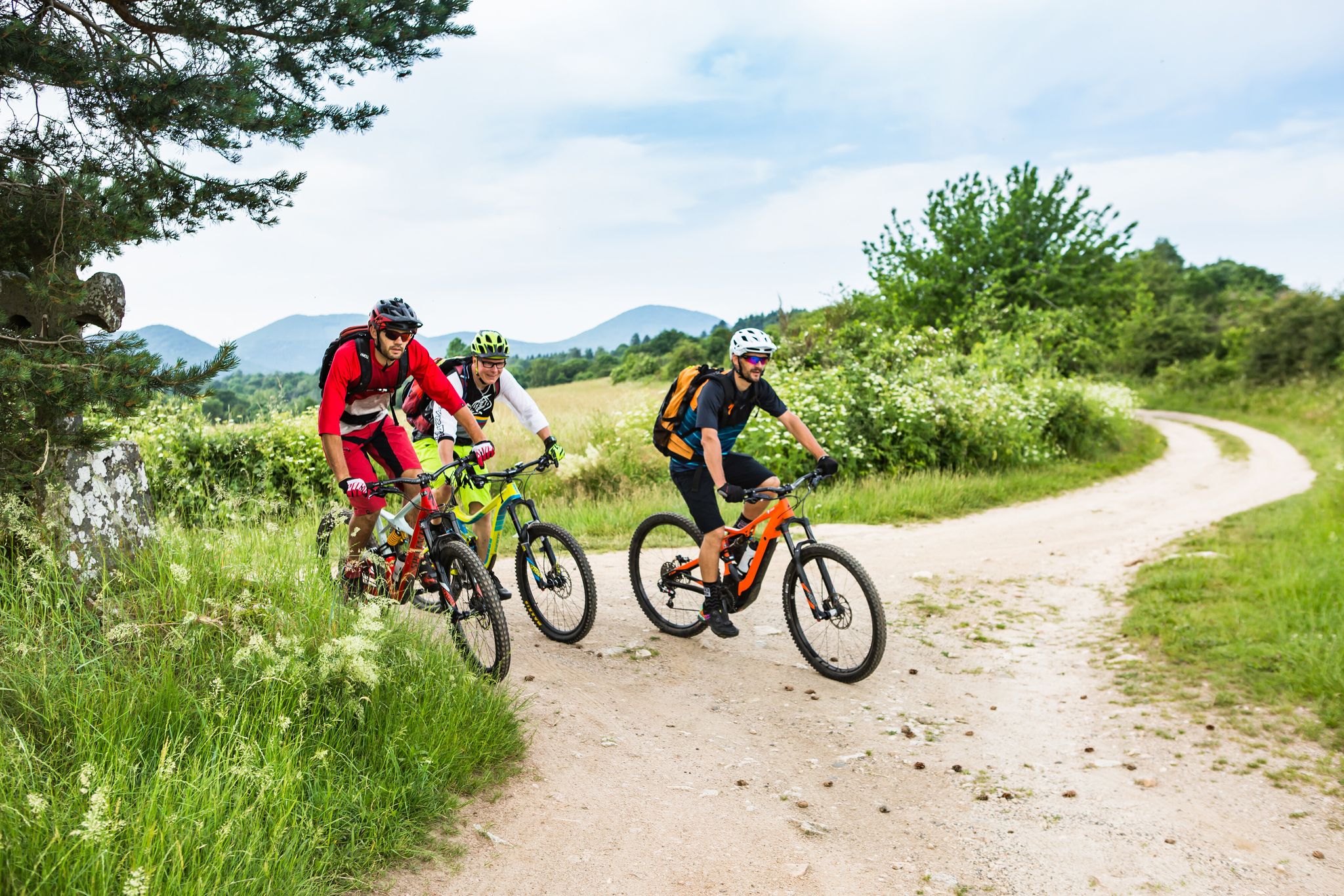
Conquering the trails – Auvergne by MTB
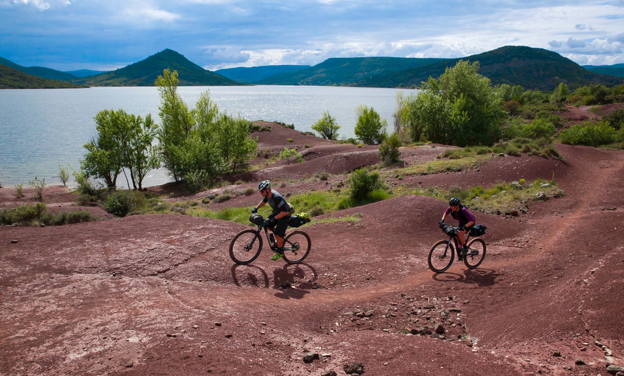
The Great Crossing of France's Massif Central by mountain bike
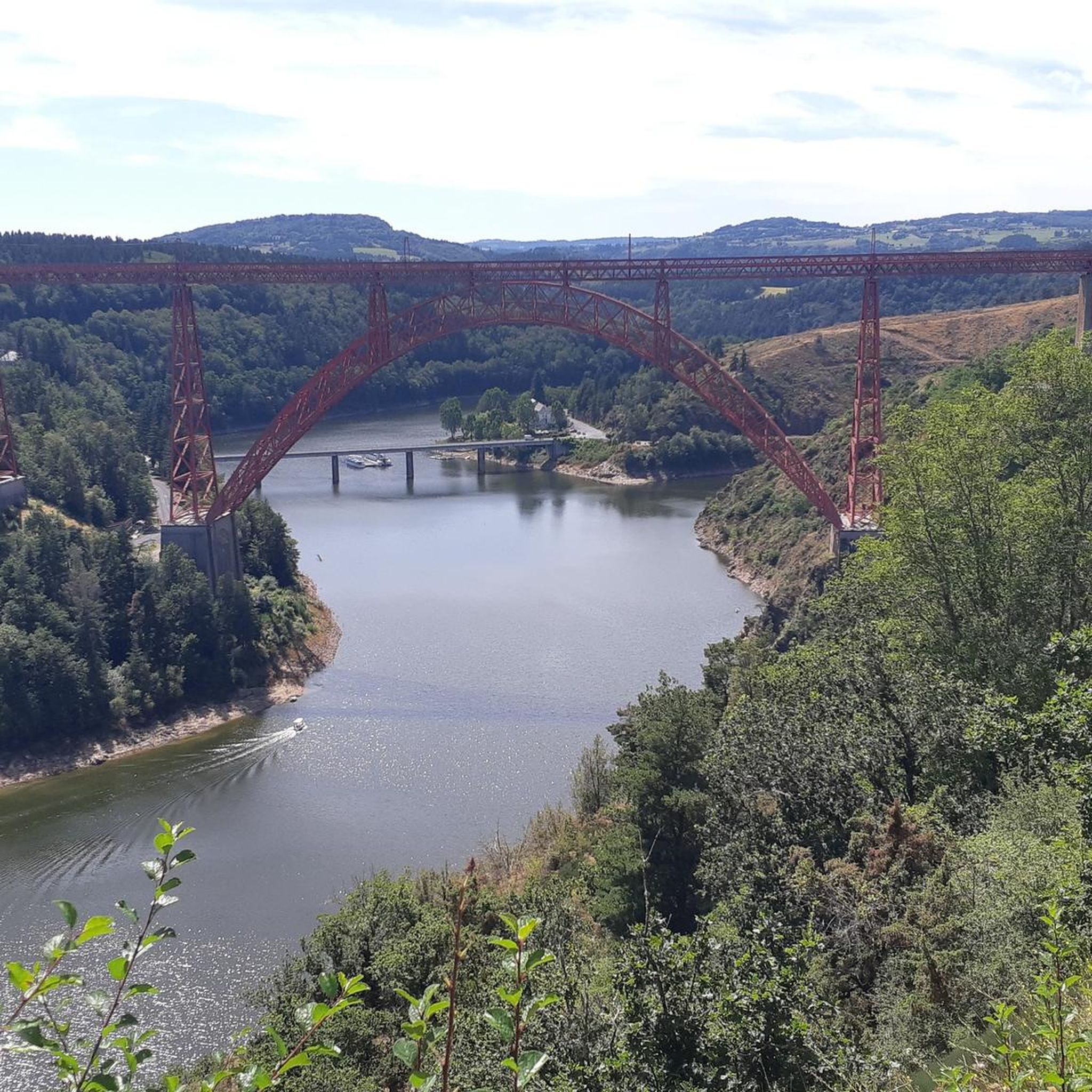
Road Cycling Routes around Ruynes-En-Margeride
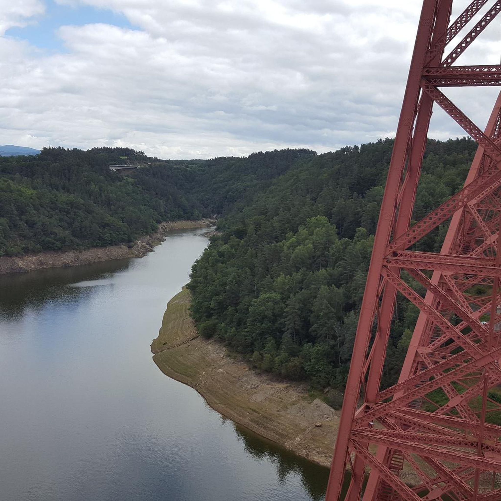
Cycling around Ruynes-En-Margeride
Hiking around Ruynes-En-Margeride
MTB Trails around Ruynes-En-Margeride
Running Trails around Ruynes-En-Margeride
Other adventures around Ruynes-En-Margeride


Tips from the Community

Historical wealth - Magnificent landscapes - Slightly difficult hike, good physical condition required.
0
0

Mont Mouchet is a peak that is part of the Margeride massif. There, you'll find very rocky areas and other more wooded areas, composed of beech and fir forests. As a result, the landscapes are fabulous. Mont Mouchet is also a site classified as a High Place of the Resistance in Auvergne. From here, you can enjoy a superb 360° panorama.
0
0
The Mont Mouchet Museum and Memorial pay tribute to Lucien and Pierrot, who, in 1944, joined one of France's five maquis. They committed to preventing the German army stationed to the south from advancing toward Normandy. Through a tour of authentic objects, documents, photos, and videos, you will discover the historical events that brought Mont Mouchet to life.
0
0
Very nice hike, I recommend starting in the opposite direction in order to finish by going down the scree rather than going up... otherwise the hike is mainly on shaded paths...
0
0

A lovely place of contemplation You'll find a bar/restaurant and a museum there.
0
0

Mont Mouchet, like many other isolated and wild places in France (whether for example the Vercors plateau or the Albion plateau) served as a maquis for resistance fighters during the Second World War. It culminates at 1,497 meters in the Margeride massif. It offers very beautiful views of the unspoiled landscape that surrounds it. It borders three very sparsely populated departments of France: Haute-Loire, Cantal and Lozère.
0
0
Ruynes-en-Margeride is recognizable from afar thanks to its 12th century tower. The latter houses the Margeride eco-museum as well as the garden of Saint-Martin. The beautiful fountain located on Place Gambetta is also to be discovered.
1
0
Frequently Asked Questions
What kind of challenge do the gravel bike trails in Ruynes-En-Margeride offer?
The gravel bike trails around Ruynes-En-Margeride are generally challenging. All routes listed in this guide, such as the National Monument to the Maquis – Viewpoint at Mont Mouchet loop from Lalo, are rated as difficult, featuring significant elevation gains and varied terrain typical of the Margeride region.
How long are the gravel bike routes in Ruynes-En-Margeride?
The gravel bike routes in this area vary in length. For instance, the Ridge – Ruynes-en-Margeride loop from Puech de Jourde is approximately 25.8 miles (41.5 km) long, while the Ruynes-en-Margeride – Ridge loop from Ruynes-en-Margeride is a shorter 8.9 miles (14.4 km) ride. There's also a longer option, the View of the Garabit Viaduct – Garabit Viaduct loop from Saint-Just, which spans over 60 miles (104 km).
Are there any easy or beginner-friendly gravel bike trails in Ruynes-En-Margeride?
Based on the available routes, the gravel bike trails around Ruynes-En-Margeride are primarily suited for experienced riders. All routes in this guide are classified as difficult due to significant elevation changes and technical sections, meaning there are no easy or beginner-friendly options currently highlighted.
Are the gravel bike trails in Ruynes-En-Margeride typically circular?
Yes, many of the gravel bike trails in Ruynes-En-Margeride are designed as loops. For example, the National Monument to the Maquis – Viewpoint at Mont Mouchet loop from Lalo and the Ruynes-en-Margeride – Ridge loop from Ruynes-en-Margeride are both circular routes, allowing you to start and finish at the same point.
What can I see along the gravel bike trails in Ruynes-En-Margeride?
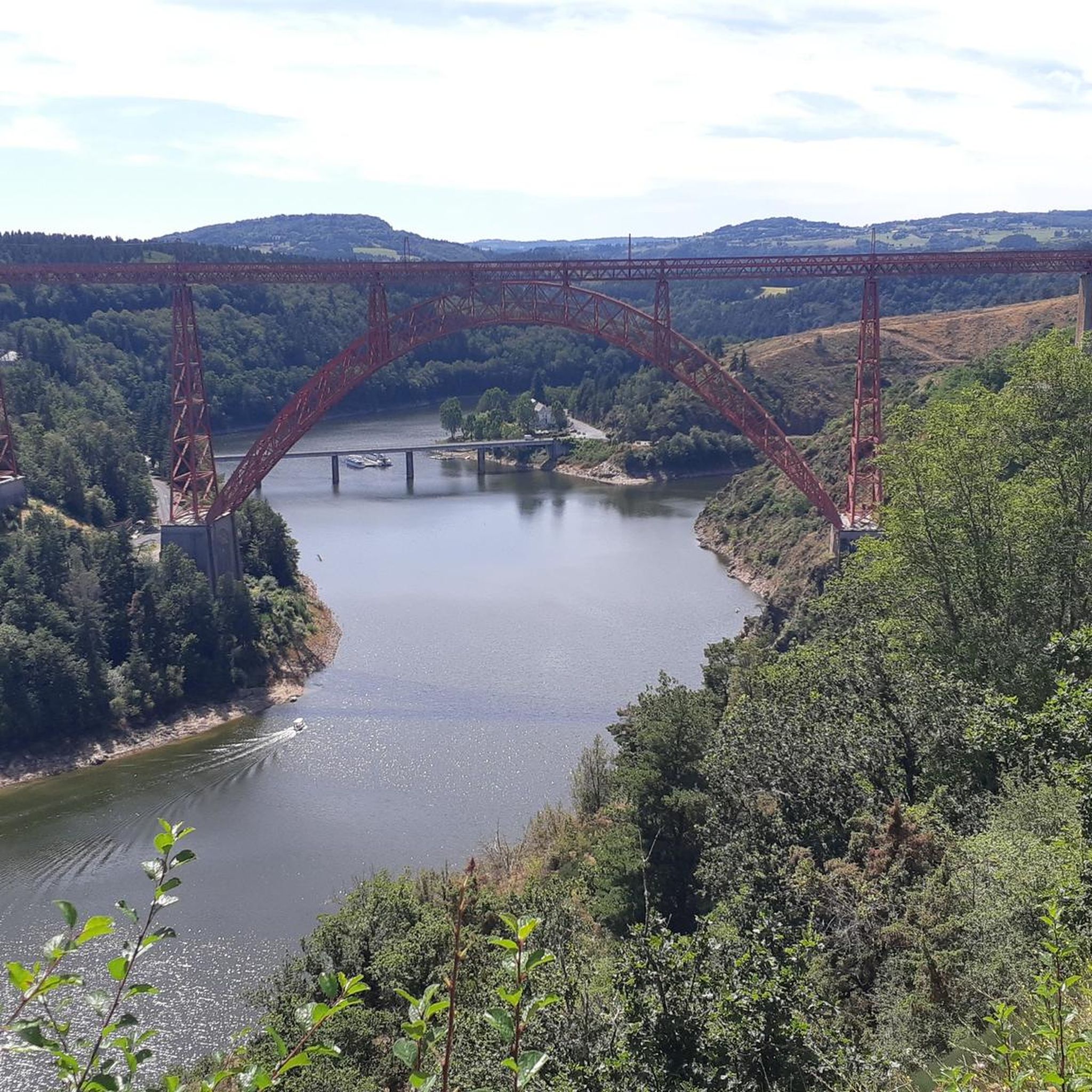
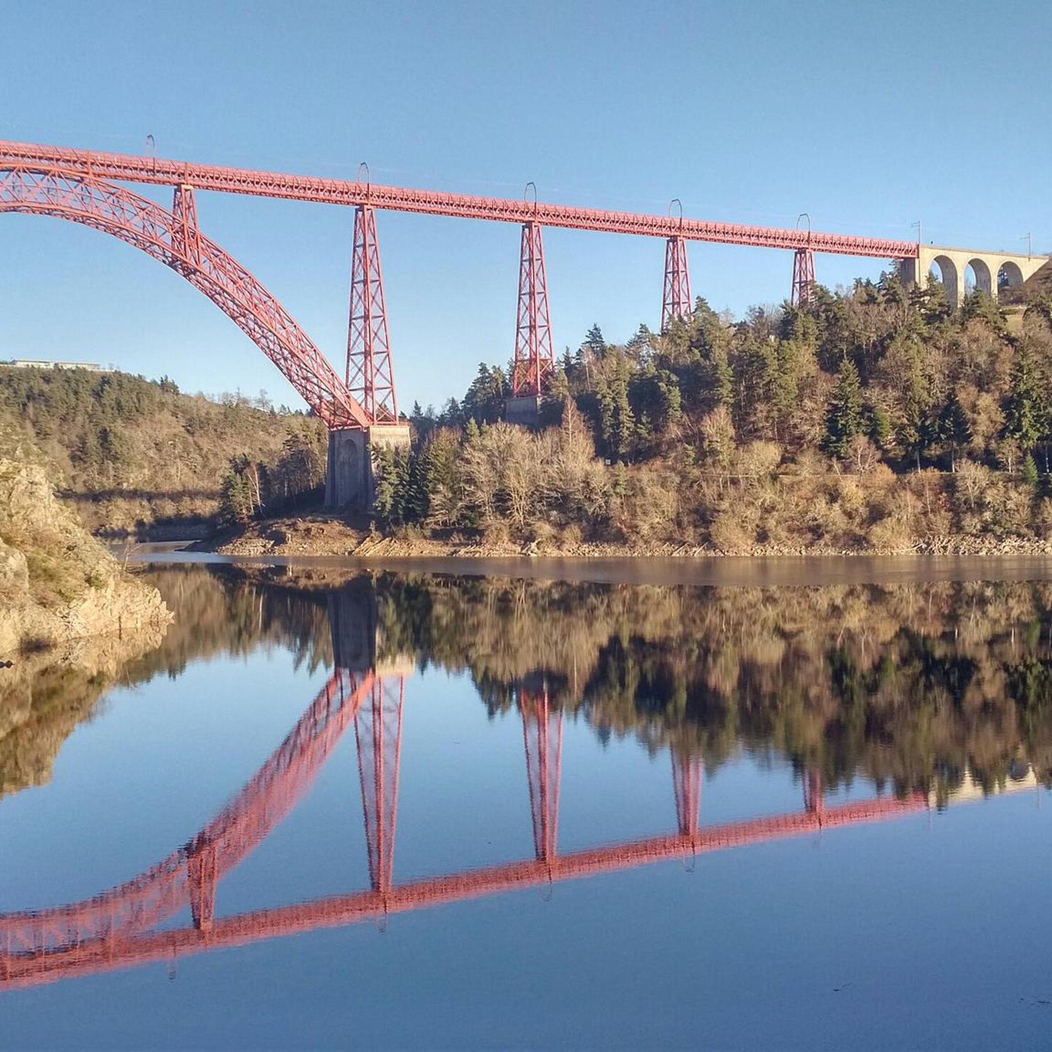
The region offers several interesting sights. You might encounter historic sites like the Summit of Mont Mouchet, which holds historical significance. The area also features impressive engineering, such as views of the Garabit Viaduct, and picturesque settlements like Saint-Flour. For those interested in medieval architecture, Alleuze Castle is also nearby.
What is the best time of year for gravel biking in Ruynes-En-Margeride?
The best time for gravel biking in Ruynes-En-Margeride is typically from late spring to early autumn (May to October). During these months, the weather is generally milder and more stable, offering pleasant conditions for exploring the granite plateaus and forested areas of the Margeride region. Summers can be warm, but the higher elevation often provides some relief.
Can I go gravel biking in Ruynes-En-Margeride during winter?
Gravel biking in Ruynes-En-Margeride during winter can be challenging. The region, part of the Massif Central, can experience cold temperatures, snow, and ice, especially at higher elevations. While some local roads might be passable, many trails could be difficult or unsafe. It's advisable to check local weather conditions and trail reports before planning a winter ride.
Are there gravel bike trails near Ruynes-En-Margeride with parking?
Given the rural nature of Ruynes-En-Margeride and its surrounding villages, you can typically find parking in or near the starting points of many routes. Villages like Lalo or Puech de Jourde, which are common starting points for tours such as the Ridge – Ruynes-en-Margeride loop, usually offer public parking options.
What do other gravel bikers enjoy the most about gravel biking in Ruynes-En-Margeride?
The area is highly rated by the komoot community, with an average score of 4.5 stars from over 3 reviews. Reviewers often praise the challenging terrain, the expansive views from ridges, and the immersion in the natural, rural environment of the Margeride region, characterized by its granite plateaus and dense forests.
Are there any hidden gem gravel bike routes near Ruynes-En-Margeride?
While all routes in this guide offer unique experiences, the View of the Garabit Viaduct – Garabit Viaduct loop from Saint-Just, though longer, takes you through less frequented areas with stunning views of the iconic viaduct, offering a sense of discovery away from more common paths.
Are there opportunities for wild swimming near the gravel trails?
The region is characterized by river valleys, and while specific wild swimming spots directly adjacent to the gravel trails are not detailed, the nearby Truyère river and its tributaries might offer opportunities. Always exercise caution and check local regulations regarding swimming in natural waters.
How many gravel bike trails are available in Ruynes-En-Margeride?
There are several gravel bike trails available in the Ruynes-En-Margeride area. This guide highlights 4 distinct routes, all offering challenging rides through the varied landscape of the Margeride region.
Most popular routes around Ruynes-En-Margeride
Most popular attractions around Ruynes-En-Margeride

Get inspired with the komoot mobile app


Explore more
Browse the best Gravel rides in other regions.
