The best gravel rides around Voimhaut
5.0
(1)
25
riders
6
rides
Gravel biking around Voimhaut offers diverse terrain within France's Moselle department, characterized by river valleys, expansive vineyards, and forested hinterlands. The region provides an extensive network of quiet roads, dedicated gravel paths, and forest trails. Routes range from flat rides along the Moselle River to more challenging ascents in the surrounding hills. The landscape features picturesque, terraced vineyards and extensive forested areas, providing varied riding experiences.
Best gravel bike trails around Voimhaut
- The most popular gravel bike trail is Landon-Villers Castle – Pange Castle loop from Courcelles-sur-Nied, an 17.6 mile (28 km) trail that takes 1 hour 35 minutes to complete, passing by historical castles.
- Another top favourite among local gravel bikers is Pange Castle – Landon-Villers Castle loop from Pange, a moderate 15.1 mile (24 km) path. This route features varied terrain through forested areas and open landscapes.
- Local gravel bikers also love the Courcelles sur nied – Pange Castle loop from Courcelles-Chaussy, a 21.2 mile (34 km) trail leading through the scenic Moselle region, often completed in about 1 hour 53 minutes.
- Gravel biking around Voimhaut is defined by river paths, vineyard climbs, and forest trails. The network offers options for different ability levels, from easier rides to more challenging routes with significant elevation gain.
- The routes in Voimhaut are highly rated by the komoot community with an average score of 5.0 stars from over 1 review. More than 20 gravel bikers have used komoot to explore Voimhaut's varied terrain.
Last updated: July 8, 2026
5
riders
28.4km
01:35
160m
160m
Moderate gravel ride. Good fitness required. Mostly paved surfaces. Suitable for all skill levels.
4
riders
24.3km
01:36
190m
190m
Moderate gravel ride. Good fitness required. Mostly paved surfaces. Suitable for all skill levels.

Sign up for free
5.0
(1)
6
riders
34.1km
01:53
190m
190m
Moderate gravel ride. Good fitness required. Mostly paved surfaces. Suitable for all skill levels.
2
riders
36.8km
02:17
360m
360m
Moderate gravel ride. Good fitness required. Mostly paved surfaces. Suitable for all skill levels.
1
riders
28.5km
01:52
270m
270m
Moderate gravel ride. Good fitness required. Mostly paved surfaces. Suitable for all skill levels.
Our route recommendations are based on thousands of hikes, rides, and runs completed by other people on komoot.
Start today with a free account
Your next adventure awaits.
Login or Signup



Tips from the Community

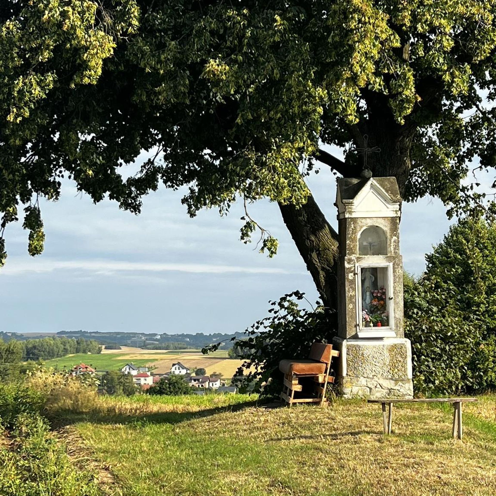
Memorial to the fallen of the two world wars 🕊️
0
0
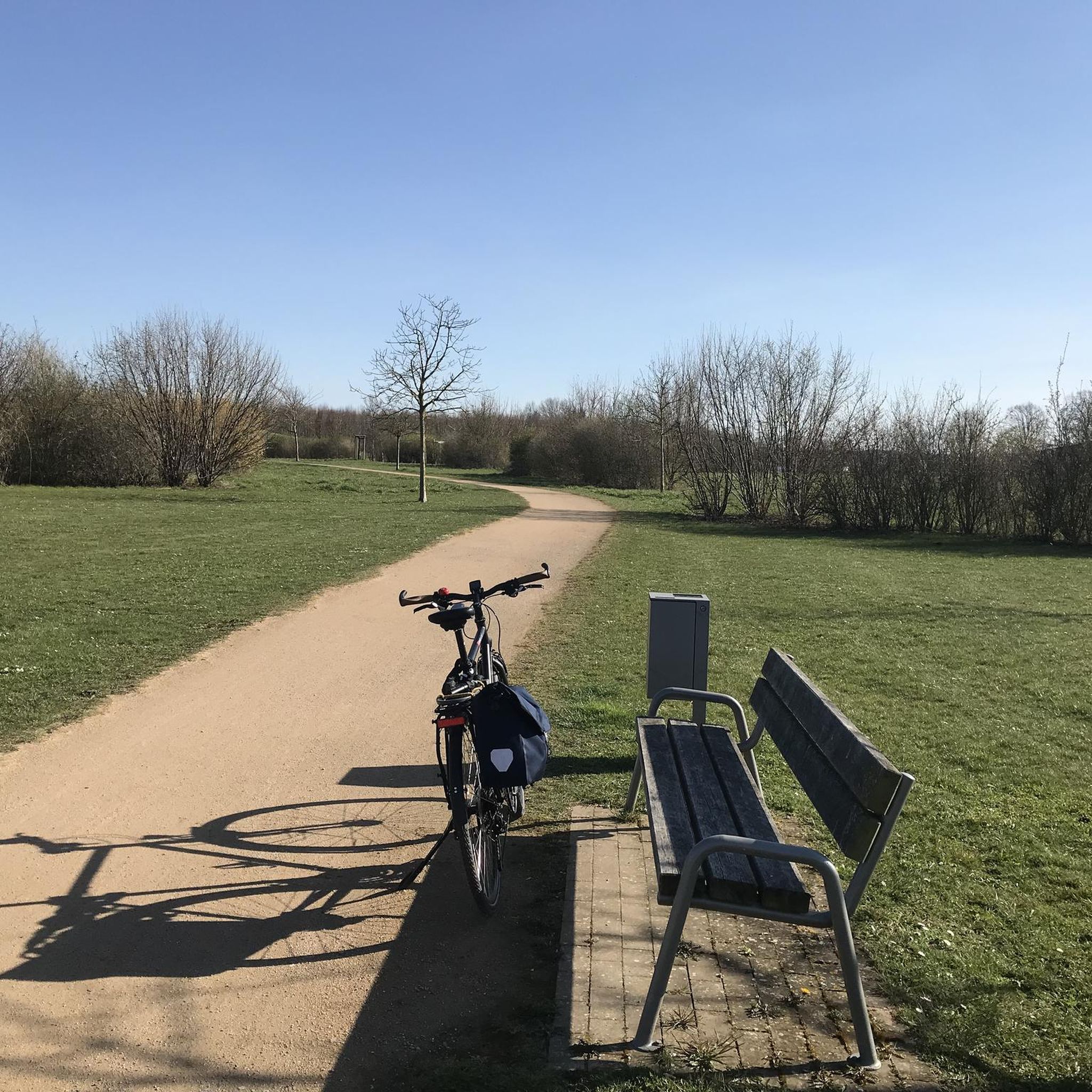
This beautiful rest area is located on the former railway line, at the old train station in Pange.
0
0
Memorial to the fallen of the two world wars and the Indochina War 🕊️.
0
0
Ideal for cooling off on hot days 🥵. But be careful, it is not drinking water‼️
0
0

The origin of “Pont-à-Domangeville is lost in the mists of time. The Roman road from Metz to the Rhine already passed through there. Under the old regime, it was a tiny separate lordship, with a toll bridge. Usually blocked and padlocked, to cross it you had to pay a fee, depending on the livestock and products passed through. The lordship belonged in the 13th century to the Saint-Vincent de Metz abbey, then to the successive lords of Domangeville; in 1716, to the Laubrussels, then to the Leuryses, finally to the Thomas de Pange. It included, in addition to the bridge, the road - 50 toises on this side, 18 beyond - the bed of the Nied on both sides and, on the south-east bank, land with a hostelry (current Mayot farm) . In 1789, the community of Bazoncourt declared in its list of grievances “the enlightenment of the State and the kindness of the King will undoubtedly eliminate a right of final injustice perceived at Pont-à-Domangeville. However poor a plowman he may be, he pays three does and several pay without passing through.” After the revolution, the bridge had to be repaired. Paradoxically, the general council had the expenditure entered in the 1814 and 1815 rolls of the localities which had subscribed to the bridge in 1766. On this ordeal is inscribed: “This monument of our redemption was erected by the care of MM. De Pange, de Courten, Devaux and Dauphin, Commissioners responsible for the reconstruction of this bridge, in the year of our Lord 1816. During the reconstruction work and near the bridge, Joseph GRANDIDIER de Hernicourt and François ANIEL perished in the waters on July 20 from Domangeville, both attached to the service of the neighboring farm »
1
0

Two people died during the reconstruction of the bridge over the Nied Française in Domangeville in 1816.
1
0
Memorial to the fallen of the two world wars.
0
0

This typical castle of classicism was built in the 18th century. Property of the Pange family, it is entrusted to an association responsible for making it a house of arts, encounters and cultures. Besides the building, the gardens are also splendid. More information is available on the chateau website: http://www.chateaudepange.fr/.
1
0
Frequently Asked Questions
How many gravel bike trails are available around Voimhaut?
There are currently 5 gravel bike trails listed around Voimhaut in this guide. These routes offer a variety of experiences through the scenic Moselle region.
What kind of terrain can I expect on gravel bike trails near Voimhaut?
The gravel bike trails around Voimhaut traverse diverse landscapes typical of the Moselle region. You'll encounter a mix of quiet roads, dedicated gravel paths, and forest trails. Expect to ride through river valleys, past expansive vineyards, and into forested hinterlands, offering varied riding experiences.
Are there any circular gravel bike routes in the Voimhaut area?
Yes, all the gravel bike routes featured in this guide are circular, allowing you to start and finish at the same point. For example, you can explore the Landon-Villers Castle – Pange Castle loop from Courcelles-sur-Nied or the Pange Castle – Landon-Villers Castle loop from Pange.
What is the best time of year for gravel biking around Voimhaut?
The Moselle region, including Voimhaut, is beautiful throughout much of the year. Spring and autumn generally offer pleasant temperatures and stunning scenery, with vineyards changing colors. Summer can be warm, but forest trails provide shade. Winter riding is possible, but check local weather conditions for ice or snow, especially on higher ground.
Are there any family-friendly gravel bike trails near Voimhaut?
While all routes in this guide are rated as 'moderate' in difficulty, the region offers diverse terrain. For families, consider routes that stick to flatter sections along the Moselle River or dedicated gravel paths. Always check the route details for distance and elevation to ensure it suits your family's fitness level.
What are the typical distances and elevation gains for gravel routes in this area?
The gravel routes around Voimhaut typically range from approximately 24 km to 34 km in distance. Elevation gains are generally moderate, with routes featuring between 160 meters and 270 meters of ascent. This makes for enjoyable rides without overly strenuous climbs, such as the Pontoy – The Oak of the Bois de Fey loop from Luppy which has about 270 meters of elevation gain.
What kind of natural features or landmarks can I see while gravel biking near Voimhaut?
The Moselle region is rich in natural beauty. You'll often ride alongside the meandering Moselle River, through picturesque, terraced vineyards, and into extensive forested areas. While specific highlights are not detailed for these routes, the overall landscape provides stunning backdrops and opportunities to appreciate the diverse flora and fauna of the region.
Are there any challenging gravel bike routes for experienced riders?
Yes, while most routes are rated moderate, the region offers opportunities for more challenging rides. The The Oak of the Bois de Fey – Pange Castle loop from Courcelles-Chaussy, for instance, covers nearly 30 km with around 248 meters of elevation gain, providing a good workout. The diverse terrain, including forest trails and hills, can add to the challenge.
What do other gravel bikers enjoy most about gravel biking in Voimhaut?
The area is highly rated by the komoot community, with an average score of 5.0 stars. Reviewers often praise the beautiful and varied landscapes, from river paths to vineyard climbs and forest trails, which make for a captivating riding experience.
Can I access gravel bike trails near Voimhaut using public transport?
Voimhaut is located in the Moselle department. While specific public transport links directly to trailheads are not detailed, larger towns in the Moselle Valley like Metz (only 21 km from Voimhaut) are well-connected. You may need to plan your route to start from a location accessible by train or bus, then cycle to the trail network.
Are there places to stop for refreshments or explore nearby towns along the routes?
The Moselle Valley is dotted with charming wine villages and historic towns. While the routes themselves don't specify amenities, towns like Metz, Nancy, Trier, Cochem, and Bernkastel-Kues are within reach or nearby, offering cultural experiences, local markets, cafes, and restaurants. Planning your ride to pass through or near these towns can enhance your experience.

Get inspired with the komoot mobile app


Explore more
Browse the best Gravel rides in other regions.
