The best gravel rides around Villaines-La-Juhel
4.8
(5)
38
riders
7
rides
Gravel biking around Villaines-La-Juhel offers diverse terrain at the edge of the Alpes Mancelles and within the Regional Nature Park Normandy-Maine. The region features rolling hills, expansive forests, and open plains, providing varied landscapes for gravel cyclists. Mont des Avaloirs, the highest point in western France at 416 meters, contributes forest roads, ridge paths, and technical trails. This topography includes short, demanding climbs and engaging descents across gravel roads, forest paths, and grassy trails.
Best gravel bike trails around Villaines-La-Juhel
…Last updated: July 8, 2026
4.5
(2)
9
riders
68.5km
04:35
400m
400m
Moderate gravel ride. Good fitness required. Mostly paved surfaces. Suitable for all skill levels.
5
riders
42.8km
03:23
610m
610m
Hard gravel ride. Very good fitness required. You may need to push your bike for some segments of this route.

Sign up for free
5.0
(3)
7
riders
60.4km
03:43
490m
490m
Hard gravel ride. Very good fitness required. Mostly paved surfaces. Suitable for all skill levels.
3
riders
24.7km
01:57
360m
360m
Moderate gravel ride. Good fitness required. Mostly paved surfaces. Suitable for all skill levels.
6
riders
82.1km
05:57
1,140m
1,140m
Hard gravel ride. Very good fitness required. Mostly paved surfaces. Suitable for all skill levels.
Get access to more routes and recommendations from other explorers.
Sign up for free
Already have an account?
Our route recommendations are based on thousands of hikes, rides, and runs completed by other people on komoot.
Start today with a free account
Your next adventure awaits.
Login or Signup
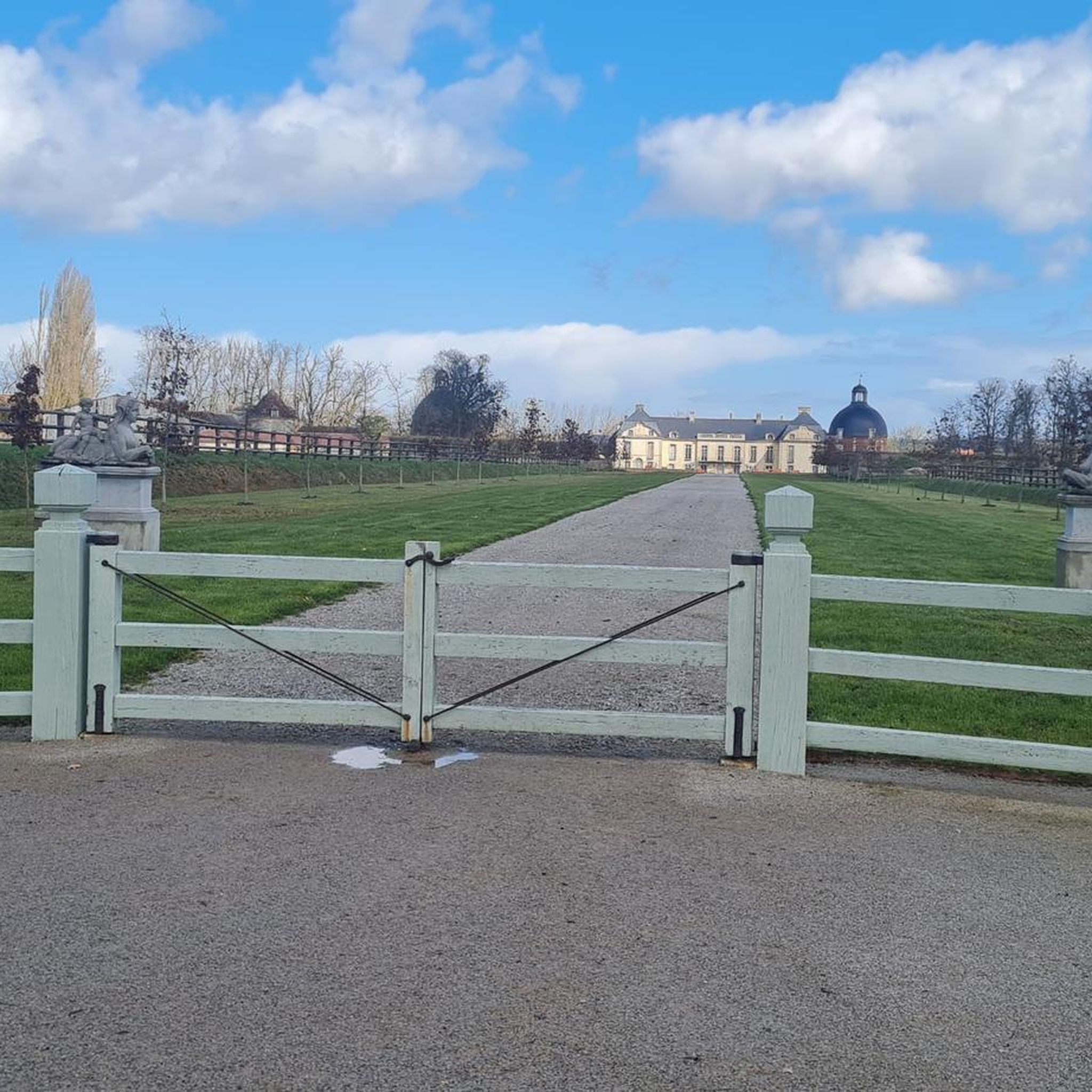
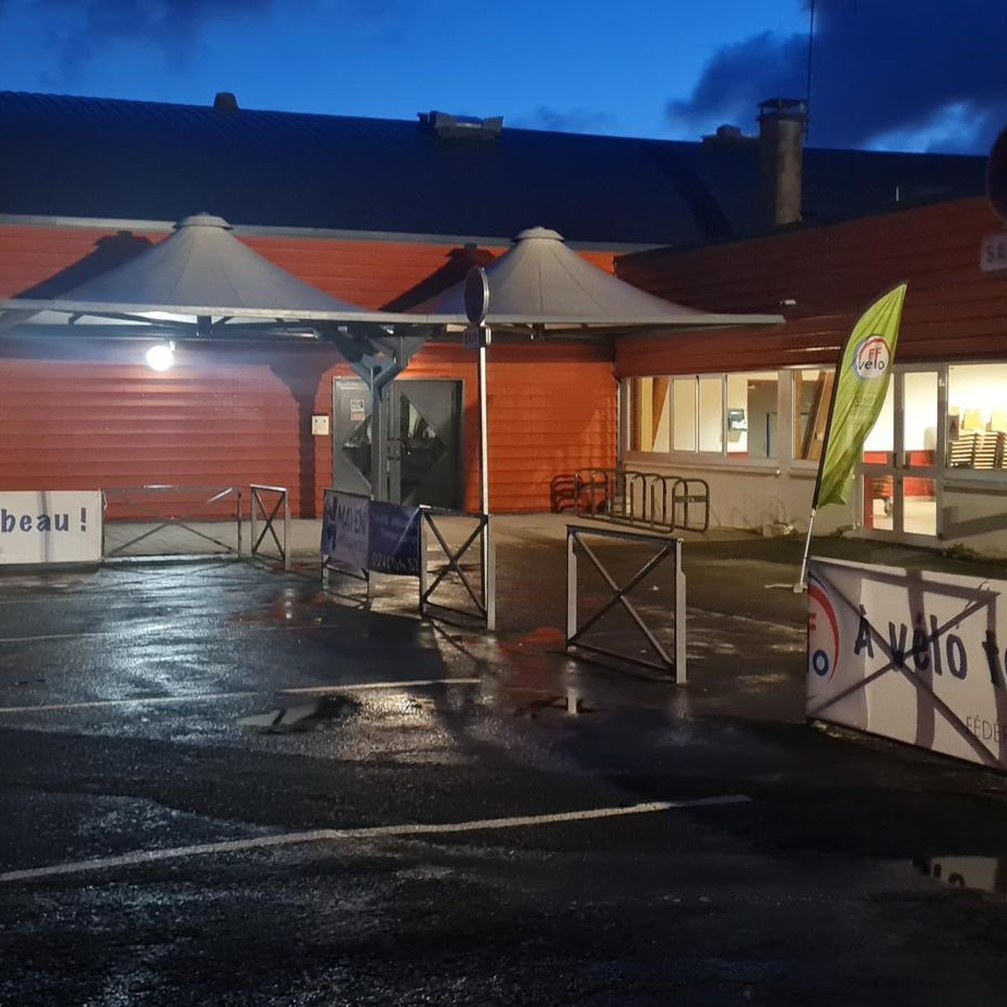
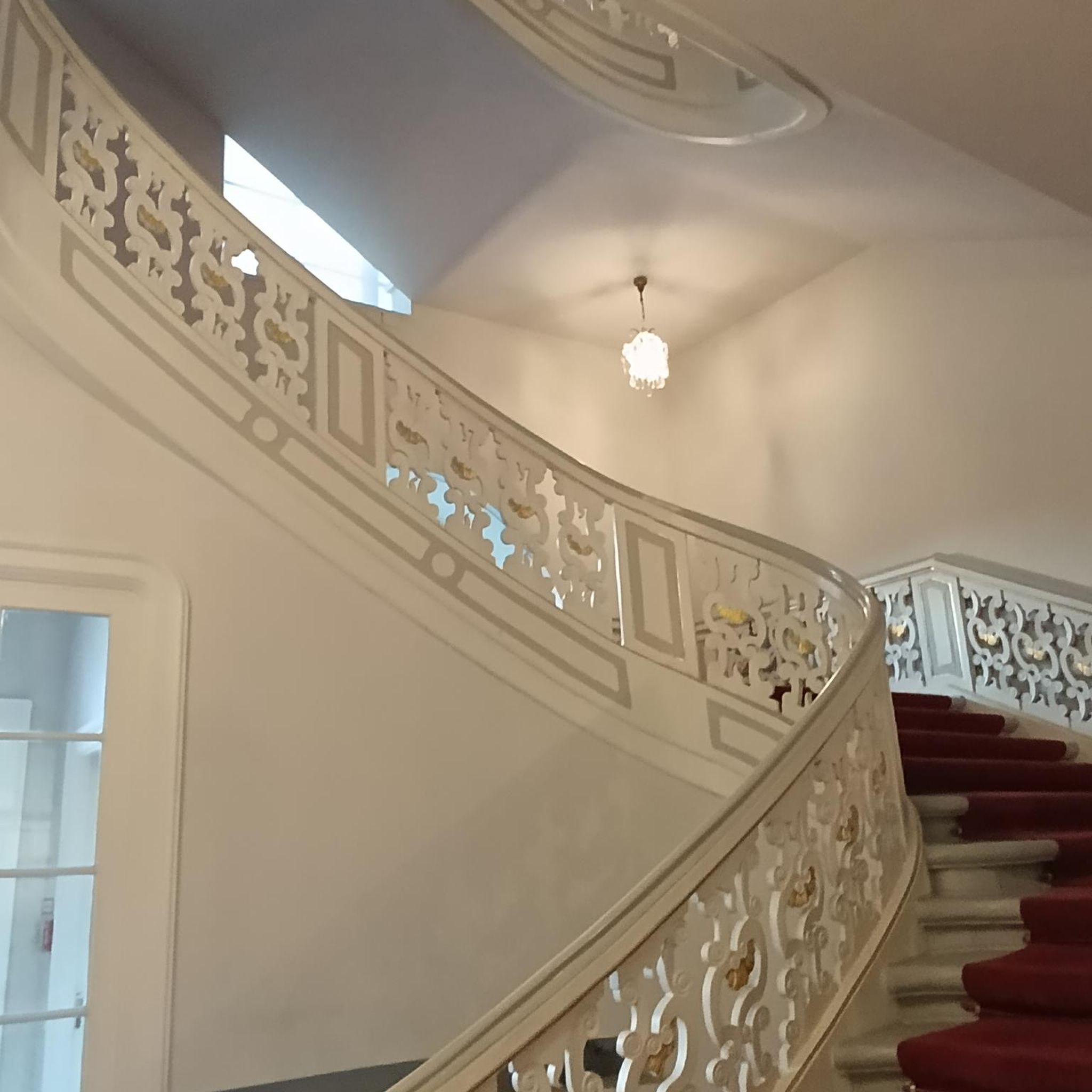

Tips from the Community

Riding up there by bike was quite strenuous, but the view from the top was worth the effort. It was well worth it.
0
0
Very nice little place, nicely designed with lots of flowers.
0
0

Unfortunately there is no seating
1
0
Beautiful 360 degree view
1
0

peaceful to take a break
0
0
rock in the middle and end of the descent, be careful ⚠️ not to go too fast
0
0

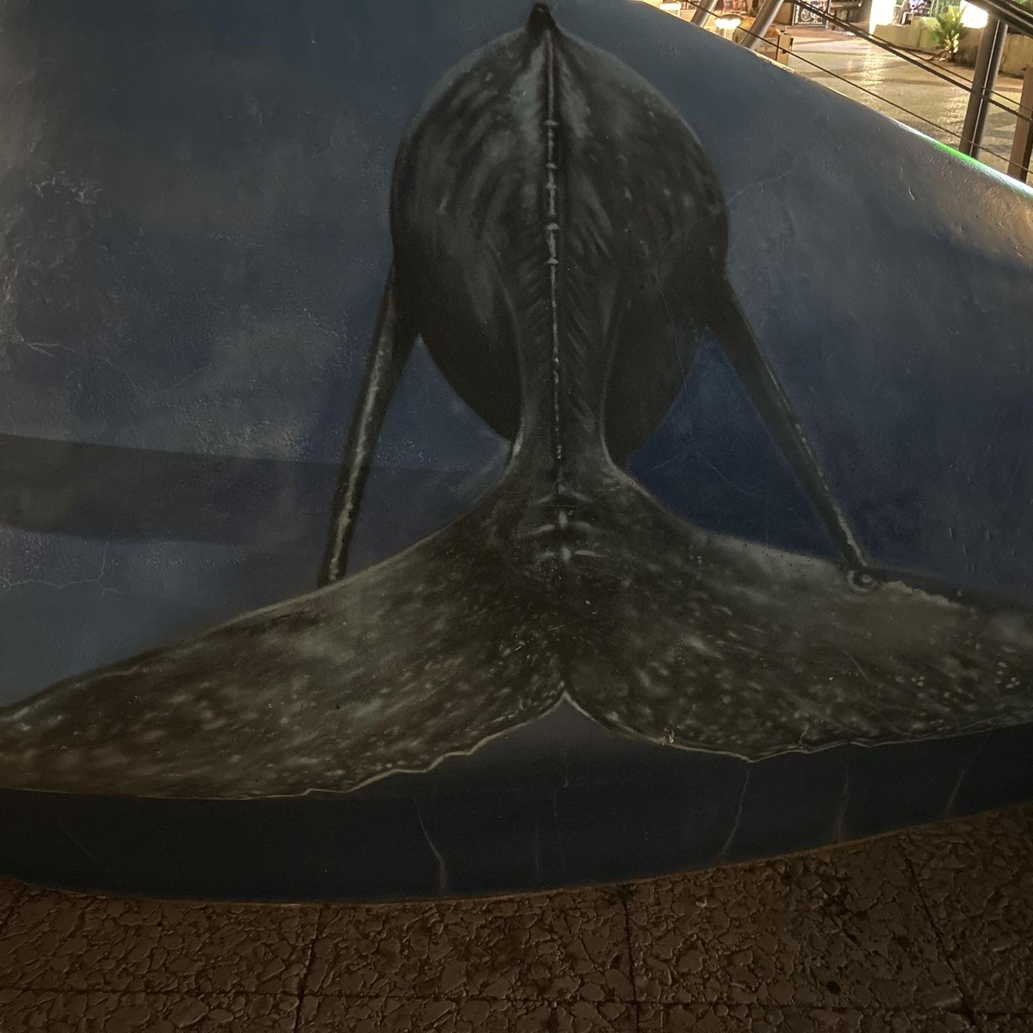
Located in Mayenne, Mont des Avaloirs is the highest point of the Armorican massif. It is part of the Normandy-Maine Regional Natural Park and enjoys the status of a Global Geopark. The belvedere, built in 1994 and covered with a magnificent colorful fresco, painted in 2019 by the Franco-British artist Seb Toussaint. It offers a 360° view of all the surrounding forests and peaks.
0
0

beautiful region
0
0
Frequently Asked Questions
What kind of terrain can I expect on gravel bike trails around Villaines-La-Juhel?
The region offers a diverse mix of terrain, from rolling hills and expansive forests to open plains. You'll encounter gravel roads, forest paths, and grassy trails. The Mont des Avaloirs viewpoint – Pré-en-Pail loop from Averton, for instance, takes you through varied landscapes, including the highest point in western France.
Are there any challenging gravel routes for experienced riders?
Yes, Villaines-La-Juhel is known for its challenging routes. Many trails feature significant elevation gains and demanding climbs. For example, the Saint-Léonard-des-Bois – Saint-Léonard-des-Bois loop from Averton is a difficult 82.2 km trail with over 1100 meters of elevation gain, often completed in about 7 hours.
What natural features or landmarks can I see while gravel biking in the area?
The region is rich in natural beauty. You can explore the varied topography of the Alpes Mancelles and the unspoiled hills of the Regional Nature Park Normandy-Maine. The View of Montaigu and the Viewpoint - on the slopes of Mont Rochard offer panoramic vistas. You might also pass by natural highlights like Lake Izé.
Are there any moderate gravel bike trails suitable for those looking for a less intense ride?
While many routes are challenging, there are options for moderate ability levels. The Lake Izé – Mount Rochard loop from Bais is a moderate 26.6 km route that still offers beautiful scenery without the extreme demands of some longer trails.
What is the best time of year for gravel biking around Villaines-La-Juhel?
The diverse landscapes of the Alpes Mancelles and Regional Nature Park Normandy-Maine are enjoyable across multiple seasons. Spring and autumn generally offer pleasant temperatures and vibrant scenery, ideal for exploring the forests and open countrysides. Summer can also be great, especially for early morning or late afternoon rides to avoid the midday heat.
Are there any circular gravel bike routes available?
Yes, many of the gravel routes in the area are designed as loops, allowing you to start and finish in the same location. Examples include the Château de La Cour – Wonderful place in nature loop from Champgenéteux and The Pail Ridge – Col des Ruadières loop from Averton, providing convenient options for your ride.
How many gravel bike trails are available in the Villaines-La-Juhel area?
There are approximately 8 gravel bike trails documented around Villaines-La-Juhel, offering a range of experiences from moderate to difficult. These routes are highly rated by the komoot community, with an average score of 5.0 stars.
What do other gravel bikers enjoy most about the trails in Villaines-La-Juhel?
The area is highly rated by the komoot community, with an average score of 5.0 stars. Reviewers often praise the varied topography, the blend of forest roads and ridge paths, and the challenging yet rewarding climbs and descents found within the Alpes Mancelles and Regional Nature Park Normandy-Maine.
Is there an annual gravel biking event in the region?
Yes, the region hosts the annual 'Alpes Mancelles Gravel Bike' event, which typically originates from Saint-Léonard-des-Bois, a commune close to Villaines-La-Juhel. This event features multiple routes ranging from 50 km to 350 km, catering to various skill levels and showcasing the area's significant elevation gains through forests and open countrysides. You can find more information on the Tourisme Alpes Mancelles website.
Are there any specific viewpoints along the gravel routes?
Absolutely. The region is known for its scenic viewpoints, particularly around Mont des Avaloirs, the highest point in western France. The Mont des Avaloirs viewpoint – Pré-en-Pail loop from Averton is specifically designed to take you to such a spot, offering expansive views of the surrounding landscape.
What is the general difficulty level of gravel biking in Villaines-La-Juhel?
Gravel biking around Villaines-La-Juhel is generally considered to be of moderate to difficult ability levels. The terrain often includes short, demanding climbs and engaging descents, making it well-suited for riders looking for a challenge. Out of the 8 available tours, 5 are rated as difficult and 3 as moderate.
Most popular routes around Villaines-La-Juhel
Most popular attractions around Villaines-La-Juhel

Get inspired with the komoot mobile app


Explore more
Browse the best Gravel rides in other regions.
