The best gravel rides around Saint-Cyr-Du-Bailleul
4.8
(16)
96
riders
5
rides
Gravel biking around Saint-Cyr-Du-Bailleul offers routes through a landscape characterized by rolling hills, historical sites, and greenways. The region features varied terrain, including sections near significant landmarks like Mont Saint-Michel and medieval villages. Elevation gains on routes typically range from 300 to 500 meters, providing a mix of challenging climbs and more moderate sections.
Best gravel bike trails around Saint-Cyr-Du-Bailleul
- The most popular gravel bike trail is View of Mont Saint-Michel – View of Mont Saint-Michel loop from Romagny,…
Last updated: July 8, 2026
4.7
(12)
71
riders
Hard gravel ride. Very good fitness required. Mostly paved surfaces. Suitable for all skill levels.
5.0
(1)
3
riders
30.7km
02:15
500m
500m
Hard gravel ride. Very good fitness required. Mostly paved surfaces. Suitable for all skill levels.

Sign up for free
11
riders
29.7km
01:43
280m
280m
Moderate gravel ride. Good fitness required. Mostly paved surfaces. Suitable for all skill levels.
5.0
(1)
4
riders
29.7km
02:01
410m
410m
Moderate gravel ride. Good fitness required. Mostly paved surfaces. Suitable for all skill levels.
4.5
(2)
7
riders
Moderate gravel ride. Good fitness required. Mostly paved surfaces. Suitable for all skill levels.
Our route recommendations are based on thousands of hikes, rides, and runs completed by other people on komoot.
Start today with a free account
Your next adventure awaits.
Login or Signup


Tips from the Community

Lovely route, first along the coast on good cycle paths, then after the large car park via all sorts of narrow roads and villages back to the campsite in Ceaux.
0
0

Parts of the route along the sea do not exist or are forbidden for bicycles
0
0

Mountain bike park with a pumptrack, restrooms, and a water fountain. Four cross-country loops (green, blue, red, black) and one downhill loop. Well-maintained with a magnificent view.
0
0

The Brouains Bumps: Pumptrack / Jumpline / DH / XCO - for mountain biking enthusiasts. Entry fee required.
0
0

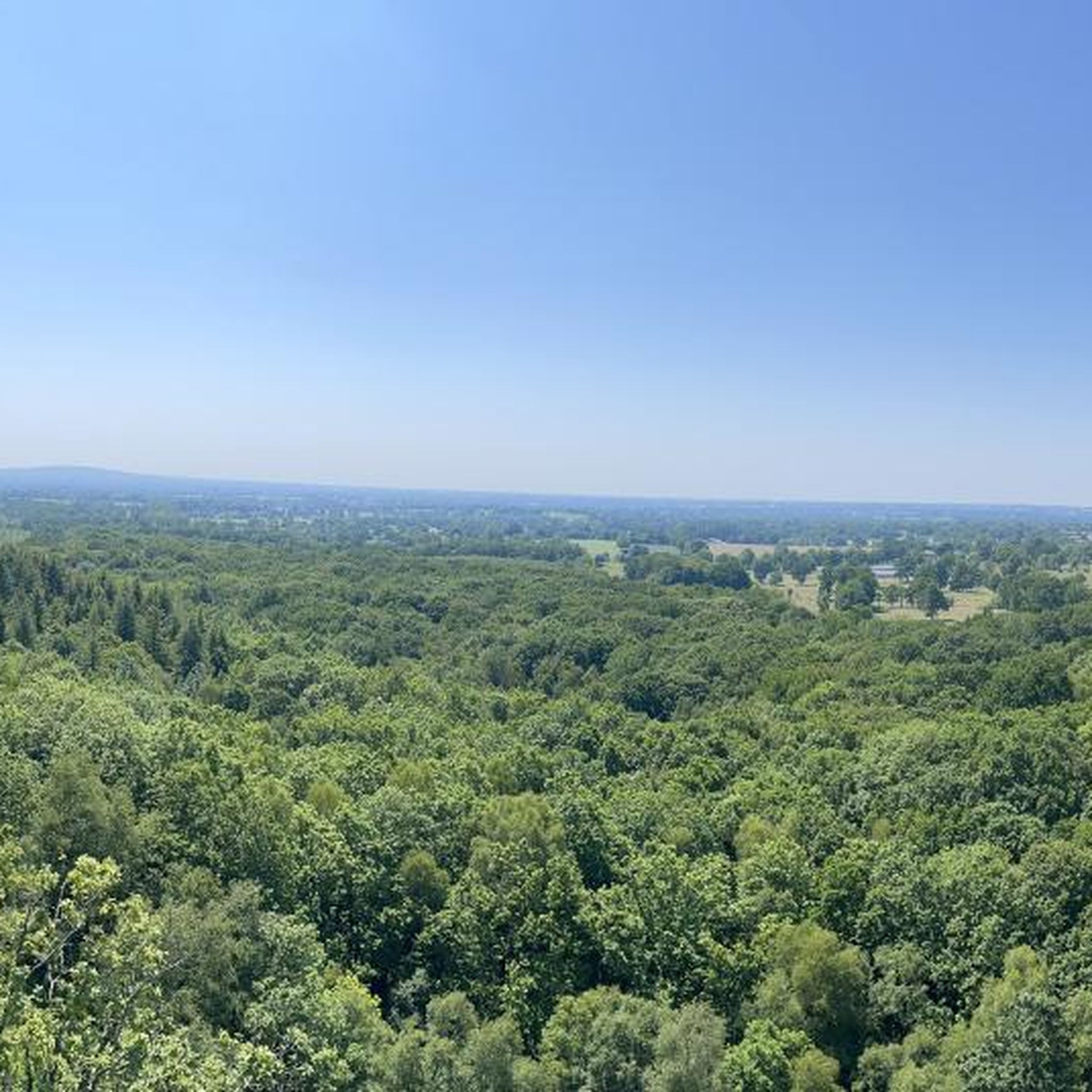
breathtaking view of the Mount...😋
0
0

St Julien church (in the background) was built in the Byzantine style and has a number of amazing mosaics, you can also visit the top of the tower by arrangement with the tourist office.
0
0

Located to the west of the Orne, the medieval town of Domfront, perched on its promontory, is one of the “Most Beautiful Detours in France” and the “Small Towns of Character”.
0
0

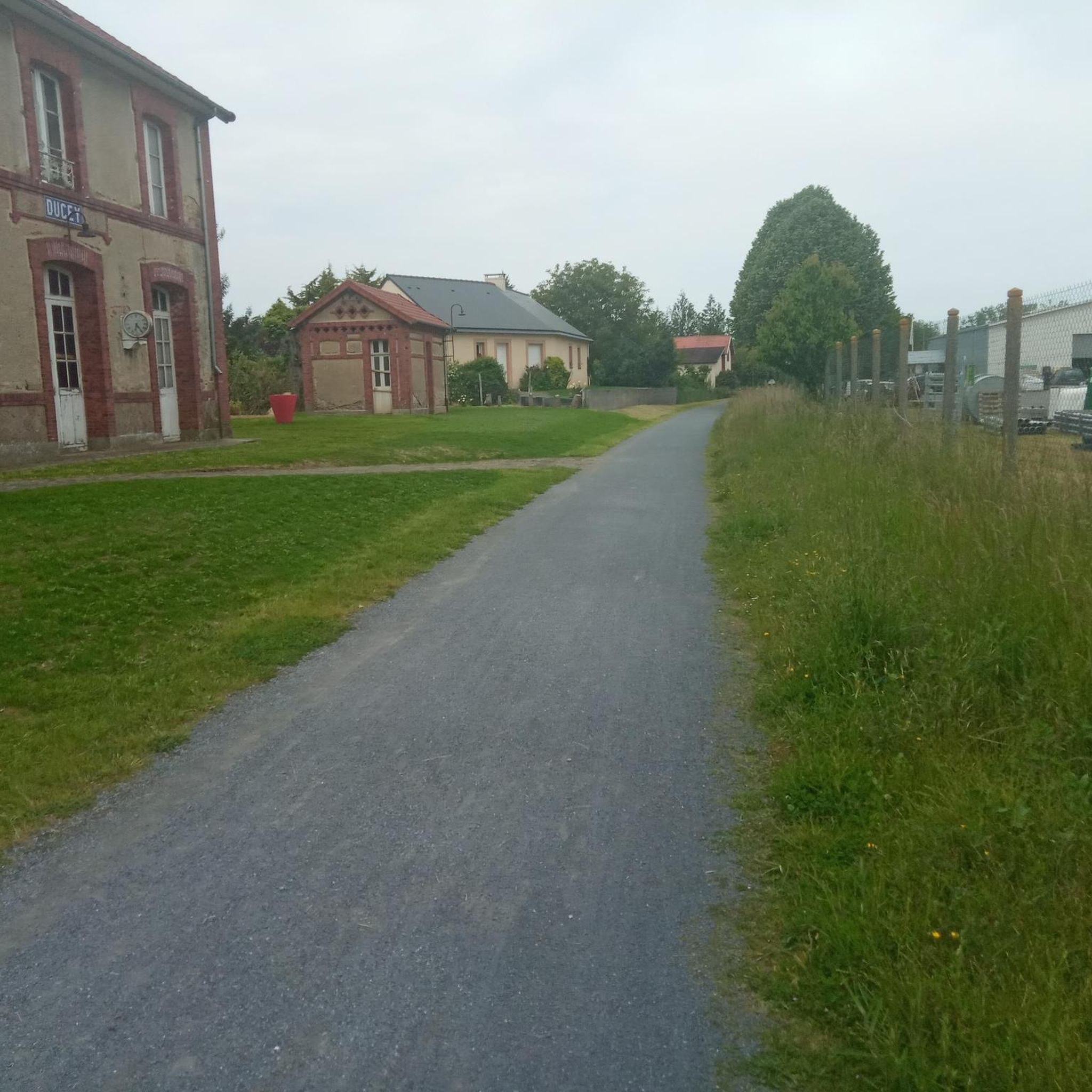
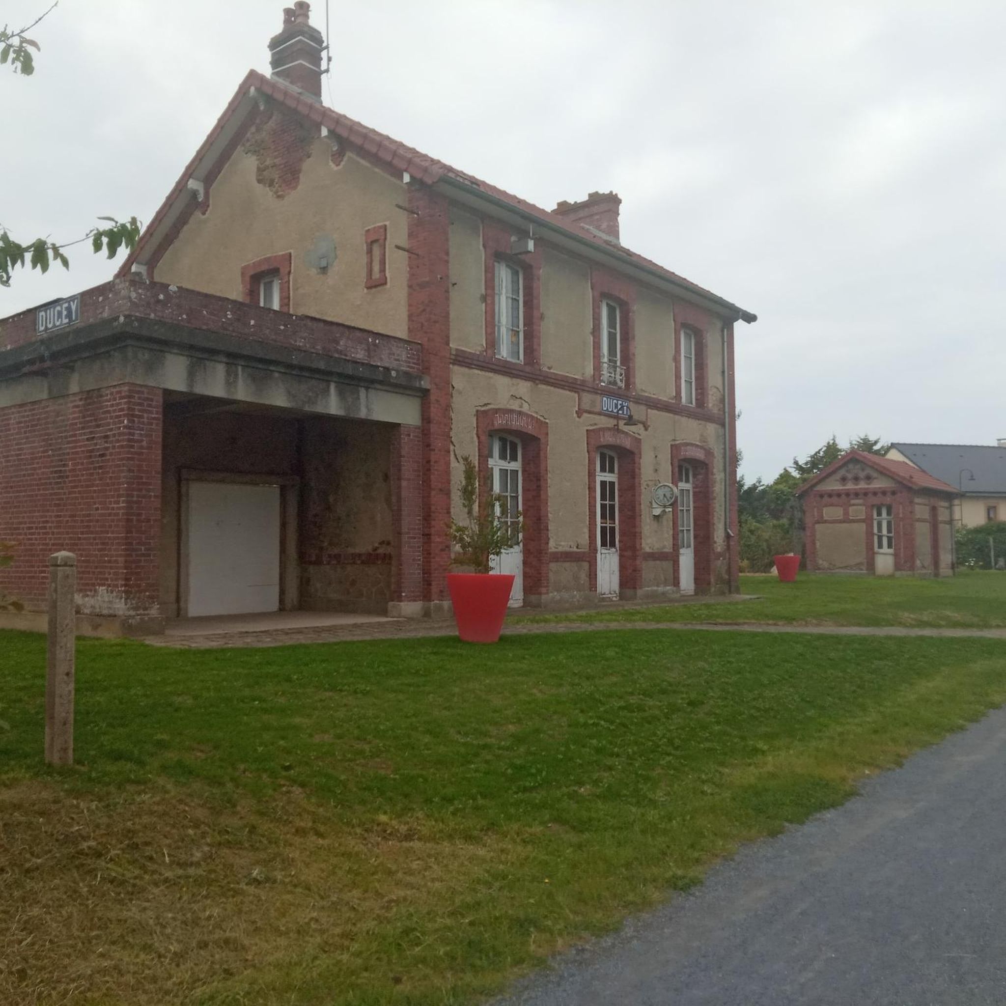
It was lovely to have our morning coffee here. Very authentic!
1
0
Frequently Asked Questions
How many gravel bike trails are available around Saint-Cyr-Du-Bailleul?
There are at least 4 gravel bike routes documented around Saint-Cyr-Du-Bailleul, offering a mix of moderate and challenging options for riders.
Are there any easy or moderate gravel bike routes suitable for beginners or families?
Yes, there are several moderate routes. For a scenic ride through medieval towns and countryside, consider the Domfront Medieval Village – Domfront — Medieval Town loop from Domfront, which is about 18.5 miles (29.7 km). Another moderate option is the La Cour des Grands – Greenway to Domfront loop from Saint-Georges-de-Rouelley, covering about 37.4 miles (60.2 km) and incorporating greenway sections.
What are some challenging gravel bike trails for experienced riders?
For a more demanding ride, the View of Mont Saint-Michel – View of Mont Saint-Michel loop from Romagny is a difficult 63.2-mile (101.8 km) route offering expansive views, including distant glimpses of Mont Saint-Michel. Another challenging option is the Mortain Collegiate Church – Needle Rock loop from Mortain, a difficult 19.5-mile (31.3 km) path exploring historical landmarks and natural rock formations.
What kind of terrain can I expect on gravel bike trails in this region?
The gravel bike trails around Saint-Cyr-Du-Bailleul are characterized by rolling hills, historical sites, and dedicated greenway sections. You'll encounter varied terrain, including sections near medieval villages and natural rock formations, with elevation gains typically ranging from 300 to 500 meters.
Are there any loop trails for gravel biking in Saint-Cyr-Du-Bailleul?
Yes, all the featured gravel bike routes in this guide are loop trails, allowing you to start and finish at the same point. Examples include the View of Mont Saint-Michel loop from Romagny and the Domfront — Medieval Town loop from Domfront.
What can I see along the gravel bike trails in Saint-Cyr-Du-Bailleul?
Many routes pass by significant historical and natural landmarks. You might encounter the medieval charm of Domfront — Medieval Town and Domfront Castle. Natural features like the Fosse Arthour gorge are also accessible. Some trails even offer distant views of Mont Saint-Michel.
What is the best time of year to go gravel biking in Saint-Cyr-Du-Bailleul?
While gravel biking is generally enjoyable year-round, spring and autumn offer pleasant temperatures and vibrant scenery. Summer can be warm but is also suitable, especially for rides incorporating shaded sections. Winter rides are possible, but be prepared for cooler temperatures and potentially wetter conditions on some trails.
Where can I find parking when starting a gravel bike route?
Most routes begin and end in towns or villages such as Romagny, Mortain, Domfront, or Saint-Georges-de-Rouelley. Public parking is typically available in these locations, often near town centers or local amenities.
What do other gravel bikers enjoy most about the trails in Saint-Cyr-Du-Bailleul?
The area is highly rated by the komoot community, with an average score of 4.8 stars from over 10 reviews. Riders frequently praise the varied terrain, the blend of historical sites with natural landscapes, and the well-maintained greenway sections that make for enjoyable rides.
Are there any routes that offer scenic viewpoints?
Absolutely. The View of Mont Saint-Michel – View of Mont Saint-Michel loop from Romagny is specifically highlighted for its expansive views, including distant glimpses of the iconic Mont Saint-Michel. Many routes through the rolling hills also provide picturesque vistas of the Norman countryside.
How long do the gravel bike routes typically take to complete?
The duration varies significantly by route and your pace. For example, the moderate Domfront — Medieval Town loop from Domfront can be completed in about 2 hours 28 minutes, while the more challenging View of Mont Saint-Michel loop from Romagny typically takes around 6 hours 37 minutes.
Are there any routes that follow greenways or dedicated cycle paths?
Yes, the region features greenway sections. For instance, the La Cour des Grands – Greenway to Domfront loop from Saint-Georges-de-Rouelley incorporates a greenway towards Domfront, offering a smoother and often more secluded riding experience. The Véloscénie Greenway towards Mont Saint-Michel is also a notable cycle path in the wider area.
Most popular routes around Saint-Cyr-Du-Bailleul
Most popular attractions around Saint-Cyr-Du-Bailleul

Get inspired with the komoot mobile app


Explore more
Browse the best Gravel rides in other regions.
