The best walks and hikes around Mesbrecourt-Richecourt
4.7
(7)
38
hikers
6
hikes
Hiking around Mesbrecourt-Richecourt offers trails through the gentle landscapes of the Aisne department in the Hauts-de-France region. The area is characterized by its verdant riverbanks, such as those along the Serre and Oise rivers, and nearby natural reserves. Hikers can explore a mix of open countryside and forested sections, with minimal changes in elevation. The region provides a serene setting for outdoor activities, connecting rural environments with accessible paths.
Best hiking trails around Mesbrecourt-Richecourt
- The most popular hiking route is…
Last updated: July 8, 2026
5.0
(1)
8
hikers
Moderate hike. Good fitness required. Easily-accessible paths. Suitable for all skill levels.
4.7
(3)
5
hikers
7.09km
01:48
20m
20m
Easy hike. Great for any fitness level. Easily-accessible paths. Suitable for all skill levels.

Sign up for free
6
hikers
Moderate hike. Good fitness required. Easily-accessible paths. Suitable for all skill levels.
3
hikers
26.6km
06:55
170m
170m
Hard hike. Very good fitness required. Easily-accessible paths. Suitable for all skill levels.
4.0
(1)
3
hikers
6.51km
01:43
50m
50m
Easy hike. Great for any fitness level. Easily-accessible paths. Suitable for all skill levels.
Our route recommendations are based on thousands of hikes, rides, and runs completed by other people on komoot.
Start today with a free account
Your next adventure awaits.
Login or Signup
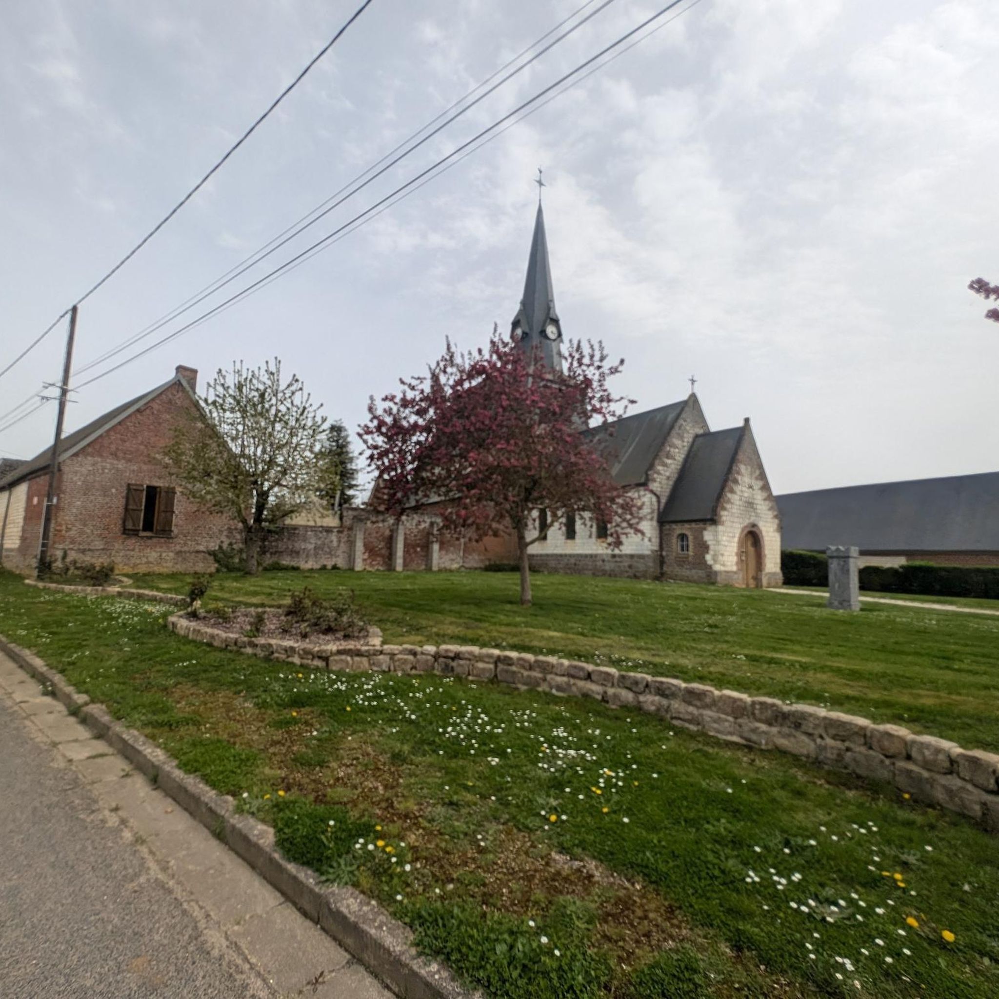

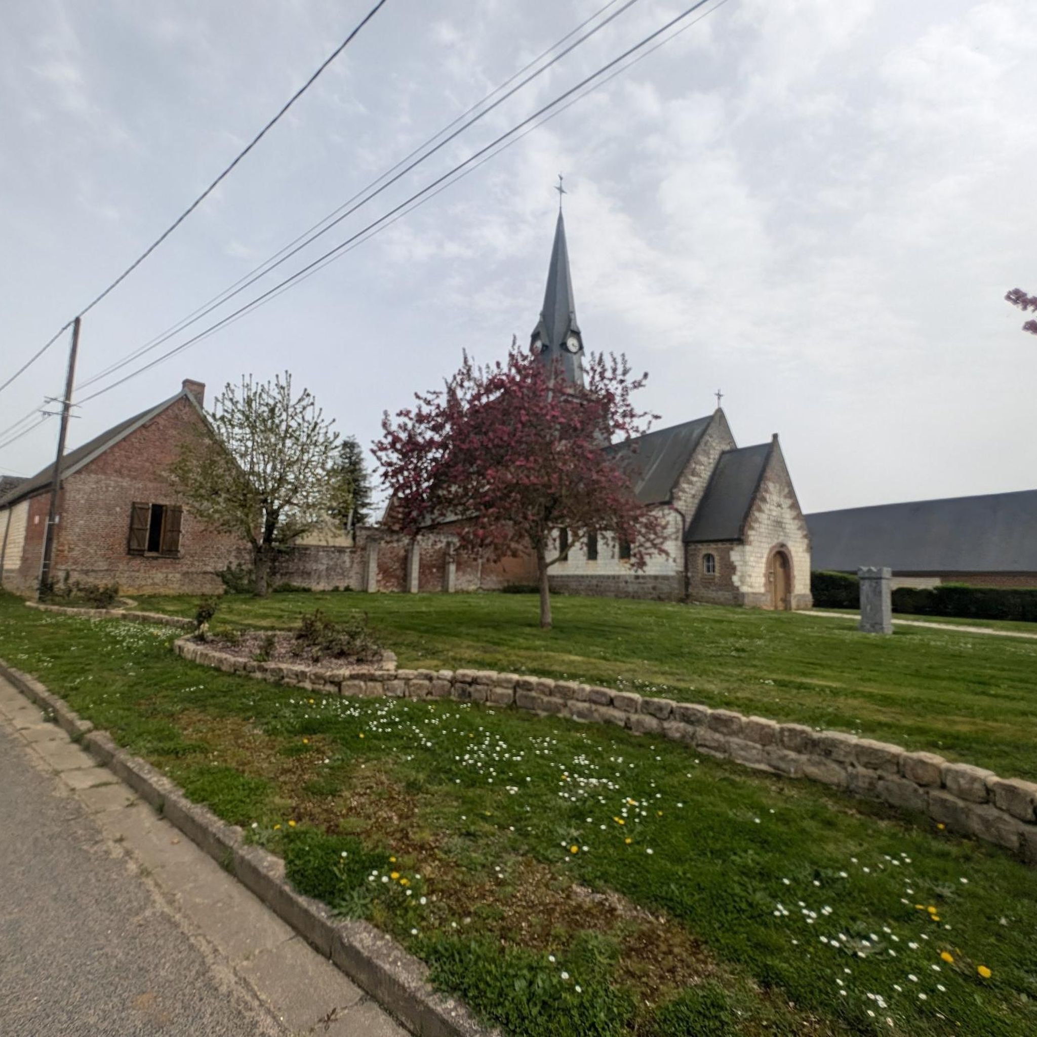
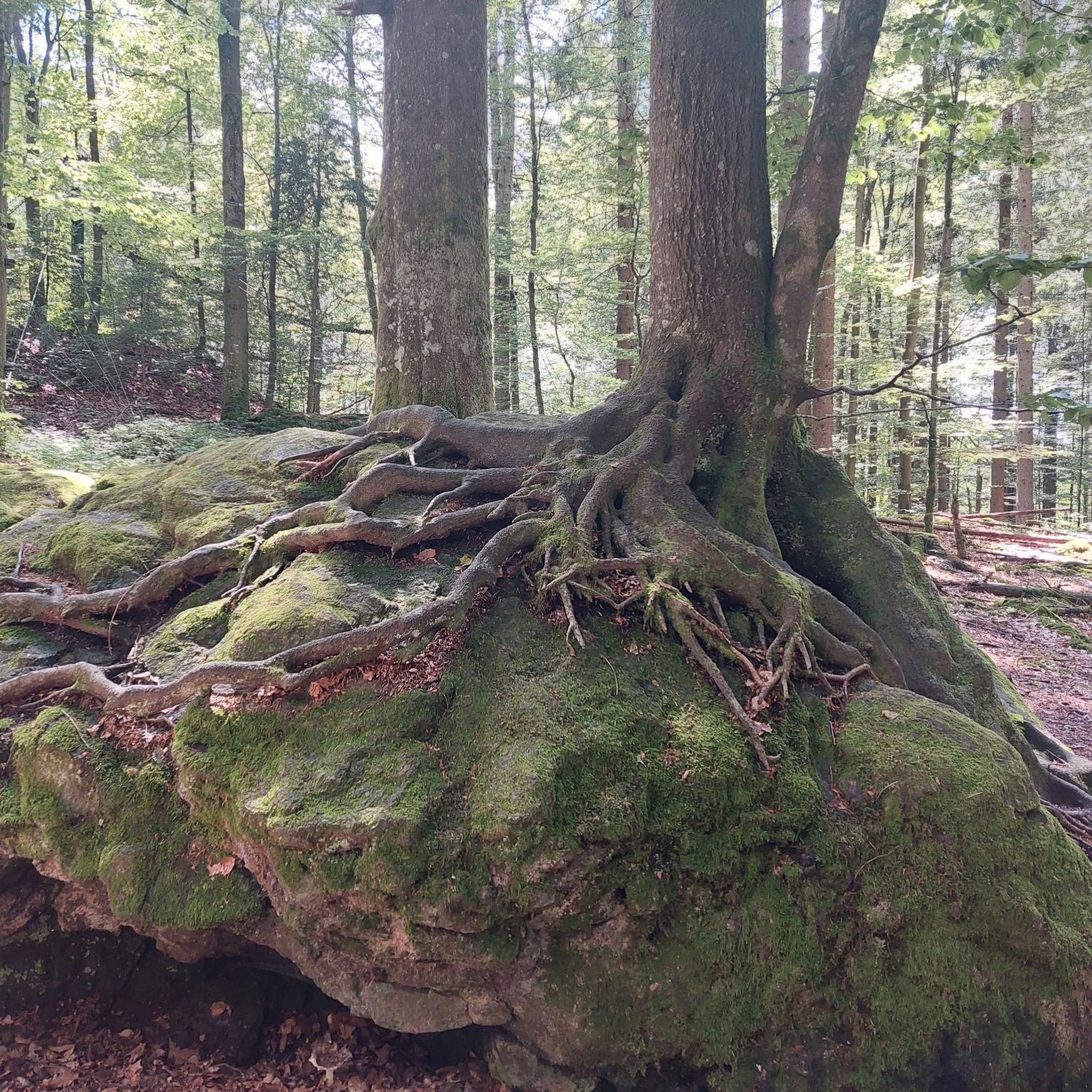
Tips from the Community


In May you could walk a bit over the waterfall about 1 cm deep, but be careful, a bit further on there are 2 deep passages where the water flows fast
0
0

Very nice little village with pretty churches and monuments; a few cafes, restaurants and bakeries of course.
0
0

The track runs along the Oise all the way, first in town, then between the fields and the barges. On arrival at the Croix Saint Ouen, you have to drive through the village and on small roads to catch up with the cycle paths inside the forest. It is best to start south of Compiègne in the ZAC de Mercières, near the swimming pool and the ice rink. The place is easy to spot. The walk is very nice and runs along the Oise. You always have to stay on your side.
0
0

It's very green, we are close to nature.
0
0

An excellently developed bike path through beautiful countryside along the river. Highly recommended!
0
0

a highlight on the EV3 between Charleroi and Paris
1
1
Frequently Asked Questions
What kind of terrain can I expect on hikes around Mesbrecourt-Richecourt?
The hiking trails around Mesbrecourt-Richecourt feature gentle landscapes, often following riverbanks like the Serre and Oise. You'll find a mix of open countryside and forested sections, with minimal changes in elevation, making for generally accessible paths.
Are there any easy hiking trails suitable for beginners or families?
Yes, there are several easy trails. For example, the Hiking loop from Séry-lès-Mézières is an easy 7.1 km route, and the Hiking loop from Brissy-Hamégicourt is another easy option at 7.2 km.
What are some natural features or landmarks to look out for on the trails?
The region is characterized by its verdant riverbanks, such as those along the Serre and Oise rivers. You might encounter features like the 'Le gué des Romains' walk along the Serre river, which includes a scenic mill. The Sambre-Oise Canal and the Bike path along the Oise are also prominent features in the area.
Are there any longer or more challenging hikes available?
For those seeking a more challenging experience, the Fir Forest loop from Crépy - Couvron is a difficult 26.6 km trail that takes approximately 6 hours 50 minutes to complete, offering a more extensive exploration of the local forests.
What is the best time of year to go hiking in Mesbrecourt-Richecourt?
The summer months are generally recommended for hiking in this area. While trails are accessible year-round, certain sections, particularly along riverbanks like 'Le gué des Romains,' may be prone to flooding during winter.
Are there any circular walks in the area?
Yes, many of the trails are designed as loops. Examples include the Dirt path in the forest loop from Séry-lès-Mézières, which is a moderate 8.3 km route through a forest environment, and the easy Hiking loop from Séry-lès-Mézières.
What do other hikers say about the trails in Mesbrecourt-Richecourt?
The hiking routes in Mesbrecourt-Richecourt are highly rated by the komoot community, with an average score of 5.0 stars from 3 reviews. Hikers often appreciate the gentle river valleys, accessible forest paths, and the serene setting for outdoor activities.
Are there any trails that follow canals or rivers?
Absolutely. The Cycle Path Along the Oise – Canal cycling route loop from Séry-lès-Mézières is a moderate 12.6 km path that follows a canal and river, offering scenic views of the waterways and surrounding countryside.
Are there any natural reserves nearby that I can visit?
While not directly adjacent to Mesbrecourt-Richecourt, the broader region offers several natural reserves. These include the Réserve naturelle des Landes de Versigny (approx. 10 km away), the Réserve naturelle du marais de Vesles-et-Caumont (approx. 18 km away), and the Réserve naturelle des Marais d'Isle (approx. 24 km away).
How many hiking routes are available in Mesbrecourt-Richecourt?
There are 5 hiking routes available in Mesbrecourt-Richecourt, catering to various difficulty levels from easy to difficult.
What types of landscapes will I see on the trails?
You will experience a blend of landscapes, including open fields, dense forest sections, and picturesque river valleys. The area is known for its verdant scenery and tranquil rural environments.
Most popular routes around Mesbrecourt-Richecourt
Most popular attractions around Mesbrecourt-Richecourt

Get inspired with the komoot mobile app


Explore more
Browse the best Hikes in other regions.
