The best gravel rides around Armix
4.6
(10)
171
riders
4
rides
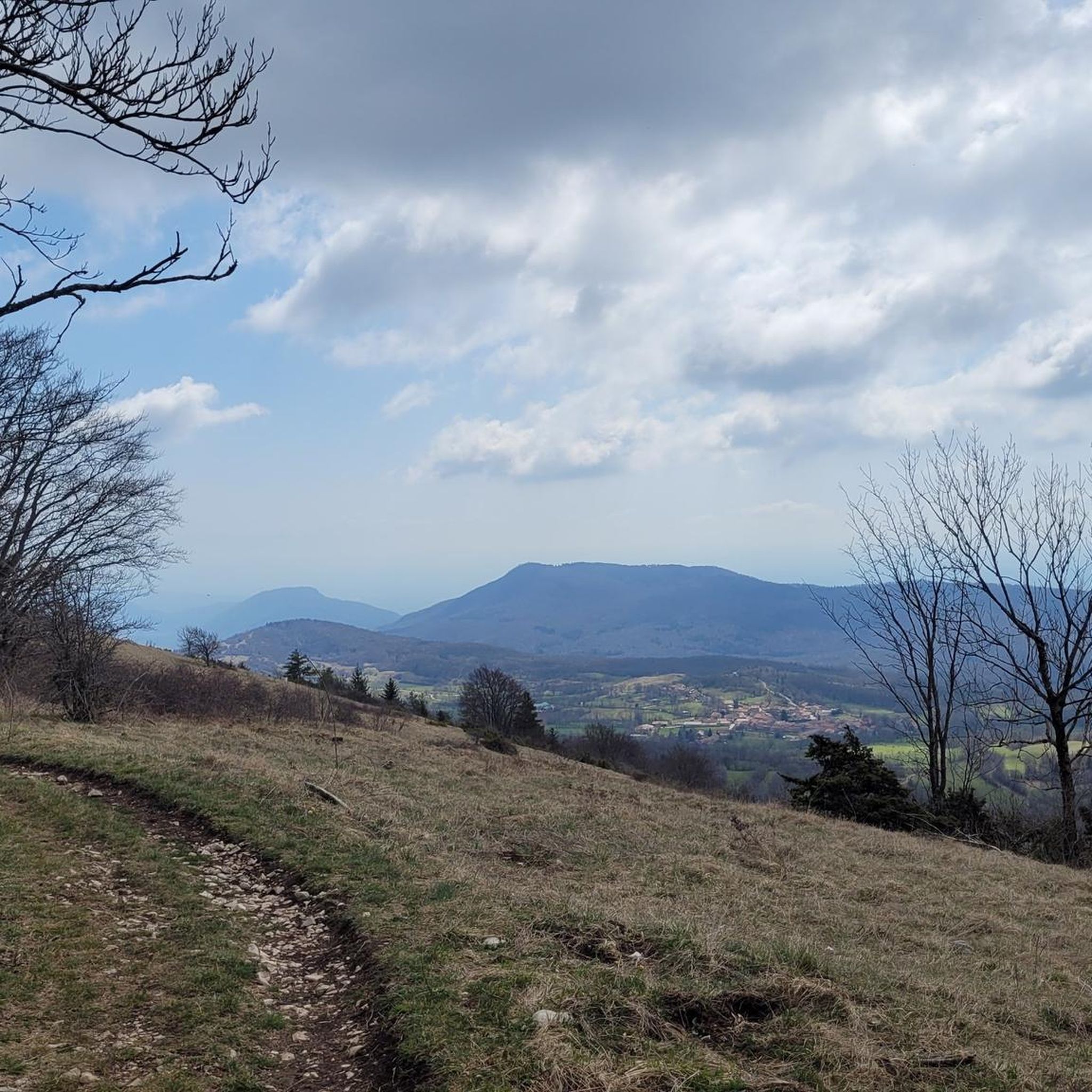
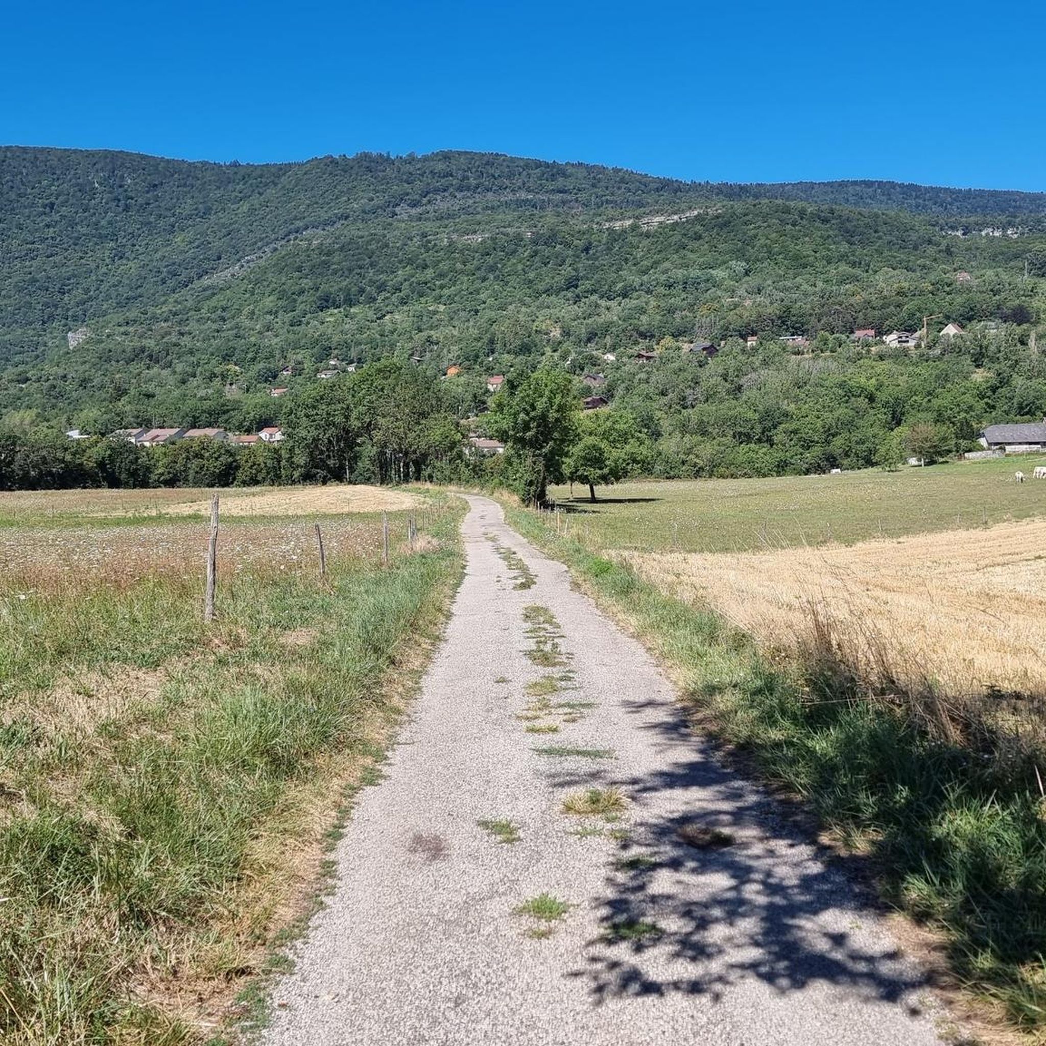
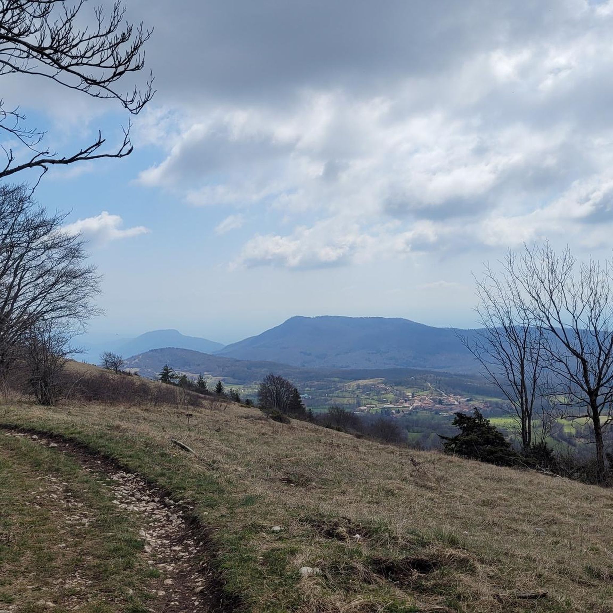
Gravel biking around Armix, located in the Ain department of eastern France, features routes through mountainous and predominantly forested terrain. The landscape includes elevations from 420 to 1,064 meters, offering varied topography for cyclists. Small mountain roads traverse these forests, connecting rural agricultural areas with natural features like the Ruisseau Pointay stream. This environment provides a blend of unpaved and minimally paved surfaces suitable for gravel biking.
Best gravel bike trails around Armix
- The most popular gravel bike trail is…
Last updated: July 7, 2026
4.3
(4)
84
riders
136km
08:34
1,470m
1,470m
Hard gravel ride. Very good fitness required. Mostly paved surfaces. Suitable for all skill levels.
4.4
(5)
82
riders
Hard gravel ride. Very good fitness required. Mostly paved surfaces. Suitable for all skill levels.

Sign up for free
4
riders
103km
06:36
1,290m
1,290m
Hard gravel ride. Very good fitness required. Mostly paved surfaces. Suitable for all skill levels.
5.0
(1)
1
riders
18.4km
01:36
650m
650m
Hard gravel ride. Very good fitness required. Mostly paved surfaces. Suitable for all skill levels.
Our route recommendations are based on thousands of hikes, rides, and runs completed by other people on komoot.
Start today with a free account
Your next adventure awaits.
Login or Signup

Tips from the Community

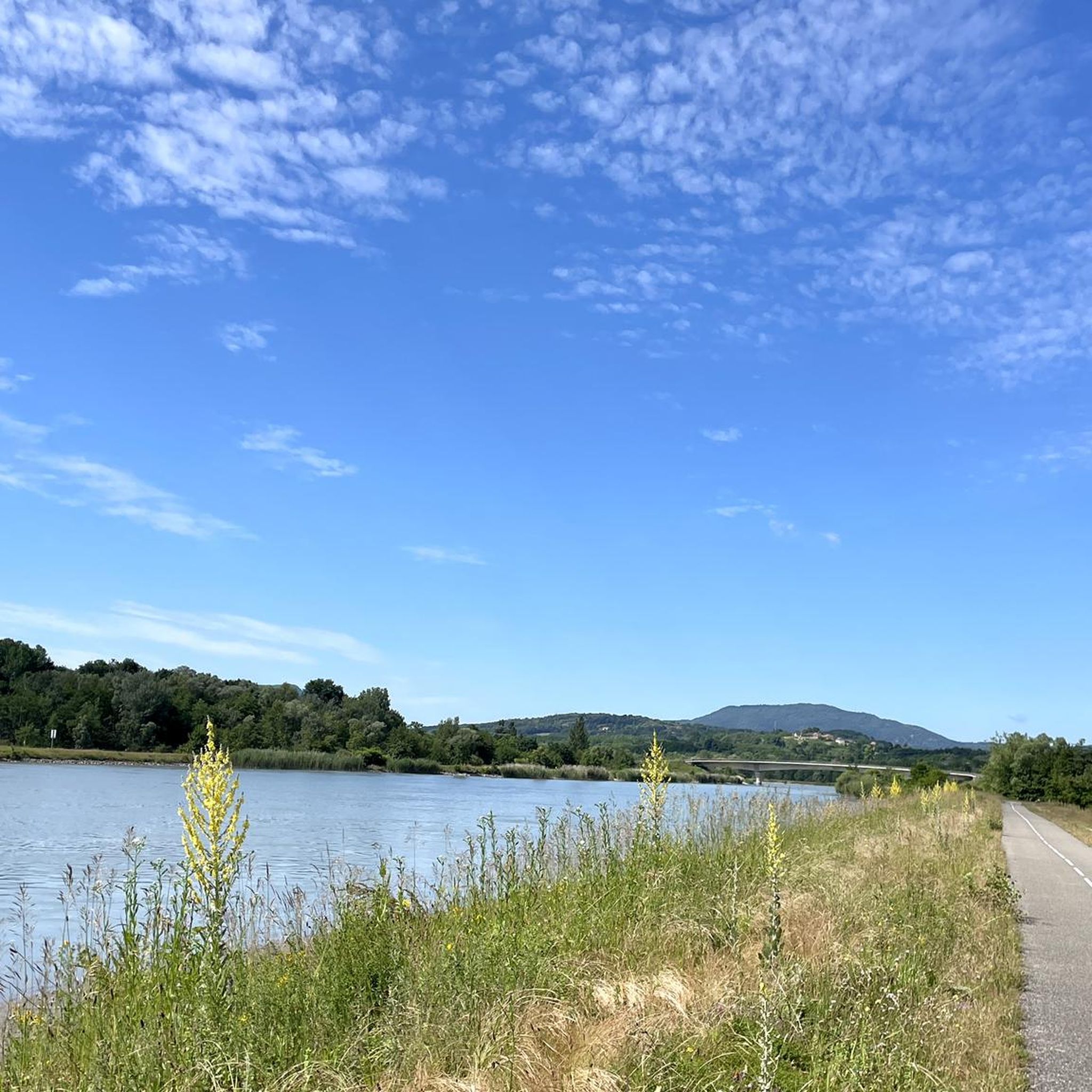
A beautiful section along the Rhone.
0
0
Beautiful historic bridge, also called the bridge of the "black virgin".
0
0

A very beautiful stretch along the ViaRhôna!
0
0

Be careful when going through the tunnel, you don't necessarily see the other bikes, otherwise the scenery is very pleasant.
0
0
Peaceful with beautiful scenery
1
0


Superb tunnel in the rock on the ViaRhôna
1
0

Very nice cyclist bridge over the Rhône. It could become slippery in icy and wet conditions.
0
0
Frequently Asked Questions
What is the typical terrain like for gravel biking around Armix?
The terrain around Armix is predominantly mountainous and forested, with elevations ranging from 420 to 1,064 meters. You can expect a mix of small mountain roads, which are often unpaved or minimally paved, winding through forests and agricultural landscapes. This offers a blend of challenging climbs and scenic descents.
Are there any beginner-friendly gravel bike trails in Armix?
The routes detailed for Armix are generally considered difficult, featuring significant elevation gains and longer distances. For example, the Col de Portes via Bénonces loop from Bénonces is the shortest at 18.3 km with 649 meters of ascent, but still rated difficult. Riders new to gravel biking in this area should be prepared for challenging conditions.
What kind of distances can I expect on gravel bike routes near Armix?
Gravel bike routes near Armix vary significantly in length. You can find shorter, intense climbs like the Col de Portes via Bénonces loop from Bénonces at 18.3 km, or much longer, epic rides such as the Old bridge of Seyssel – Old Town of Seyssel loop from Virieu-le-Grand - Belley, which covers over 146 km.
Are there any circular gravel bike routes around Armix?
Yes, all the gravel bike routes listed for Armix are designed as loops. For instance, you can explore the Groslée Bridge – Virignin footbridge loop from Virieu-le-Grand - Belley or the Groslée Bridge – Virignin footbridge loop from La Rivolière, both offering extensive circular tours.
What natural attractions can I see along the gravel bike trails in Armix?
The mountainous and forested landscape of Armix is rich with natural beauty. You can encounter several waterfalls, such as the Brive Waterfall, Cerveyrieu Waterfall, Claire Fontaine Waterfall, and Cascade des Dards. The Thurignin Gorges also offer a dramatic natural sight.
What do other gravel bikers enjoy most about riding in Armix?
The Armix area is highly rated by the komoot community, with an average score of 4.57 out of 5 stars. Riders often praise the challenging mountainous terrain, the quiet forested roads, and the opportunity to explore the rural, agricultural landscapes away from crowded areas.
Is Armix a good destination for advanced gravel bikers?
Absolutely. All four routes listed for Armix are rated as difficult, featuring substantial distances and significant elevation gains. For example, the Groslée Bridge – Virignin footbridge loop from Virieu-le-Grand - Belley includes over 1465 meters of climbing over 135 km, providing a robust challenge for experienced riders.
What is the best season for gravel biking in Armix?
Given the mountainous and forested nature of Armix, spring and autumn generally offer the most pleasant conditions for gravel biking, with milder temperatures and beautiful scenery. Summer can be warm, while winter might present challenges with colder weather and potentially icy or snowy conditions on higher elevation roads.
Are there any options for food or accommodation near the gravel routes?
While Armix itself is a small agricultural commune, the wider Auvergne-Rhône-Alpes region offers various options for cafes, pubs, and accommodation. For longer routes like the Old bridge of Seyssel – Old Town of Seyssel loop from Virieu-le-Grand - Belley, passing through towns like Seyssel, you will find more amenities. It's advisable to plan stops in advance, especially on the more remote sections.
Is it possible to access gravel bike trails in Armix using public transport?
Armix is a rural, mountainous commune with limited public transport options. Accessing the gravel bike trails typically requires personal transport. The routes often start from nearby towns like Virieu-le-Grand or Bénonces, which may have better, though still limited, public transport connections to larger regional hubs.
Are there any less crowded gravel biking routes in the Armix area?
The mountainous and forested nature of Armix, combined with its agricultural focus, means that many of its small mountain roads are inherently less crowded. The routes listed, such as the Groslée Bridge – Virignin footbridge loop from La Rivolière, offer a tranquil experience away from major tourist paths, allowing for a peaceful ride through natural landscapes.
Most popular attractions around Armix

Get inspired with the komoot mobile app


Explore more
Browse the best Gravel rides in other regions.
