The best gravel rides around Balanzac
3.8
(7)
17
riders
6
rides
Gravel biking around Balanzac offers routes through the flat, agricultural landscapes of the Charente-Maritime department in France. The region is characterized by a network of quiet country roads, riverside paths, and tracks that connect small villages and historical sites. Elevation gains are generally low, making the area suitable for longer, less strenuous rides.
Best gravel bike trails around Balanzac
- The most popular gravel bike trail is Crazannes Castle – Royal Ropewalk loop from Aire de covoiturage Saint-Sulpiced'Arnoult - Fief de…
Last updated: July 6, 2026
4.3
(3)
6
riders
Moderate gravel ride. Good fitness required. Mostly paved surfaces. Suitable for all skill levels.
3.0
(1)
5
riders
46.7km
02:49
170m
160m
Moderate gravel ride. Good fitness required. Mostly paved surfaces. Suitable for all skill levels.

Sign up for free
4.0
(2)
3
riders
33.0km
02:11
110m
110m
Moderate gravel ride. Good fitness required. Mostly paved surfaces. Suitable for all skill levels.
1
riders
Hard gravel ride. Good fitness required. You may need to push your bike for some segments of this route.
4.0
(1)
1
riders
25.6km
01:36
100m
100m
Easy gravel ride. Great for any fitness level. Mostly paved surfaces. Suitable for all skill levels.
Our route recommendations are based on thousands of hikes, rides, and runs completed by other people on komoot.
Start today with a free account
Your next adventure awaits.
Login or Signup
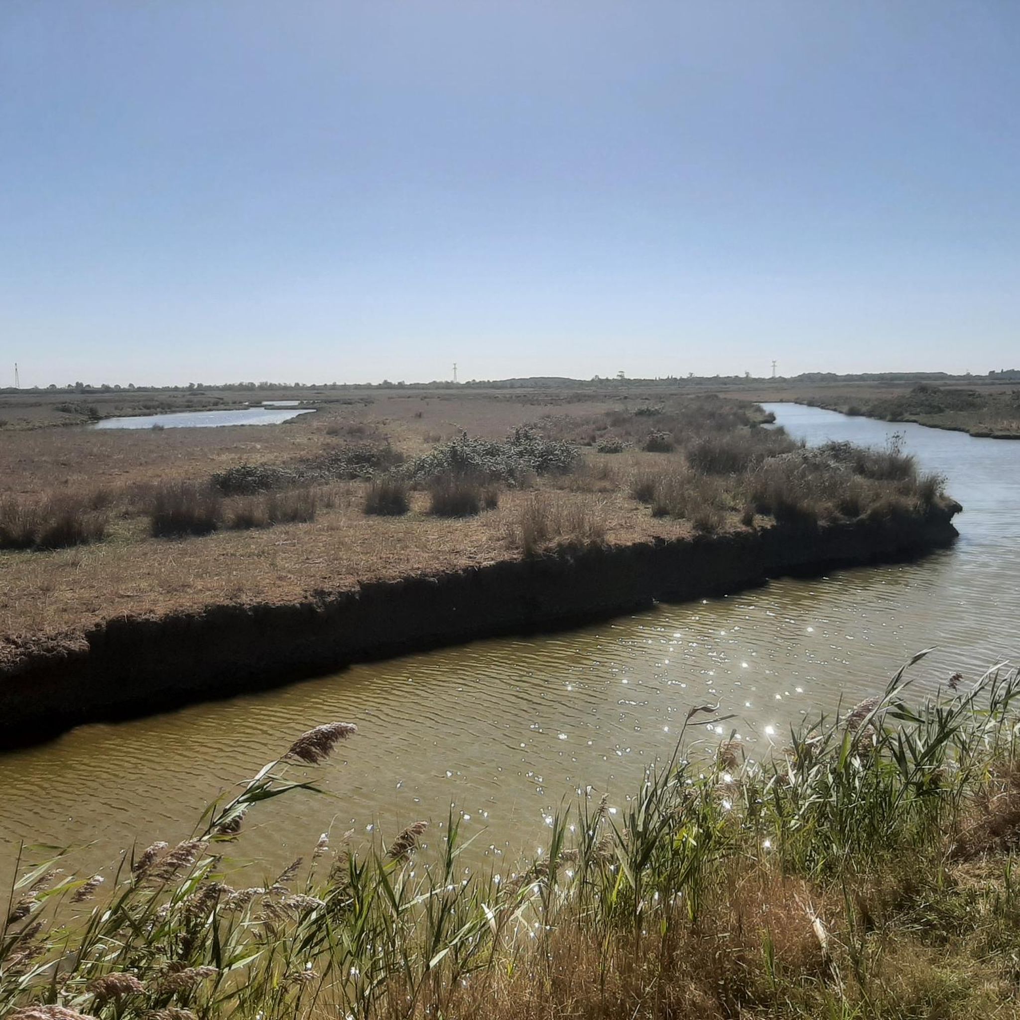
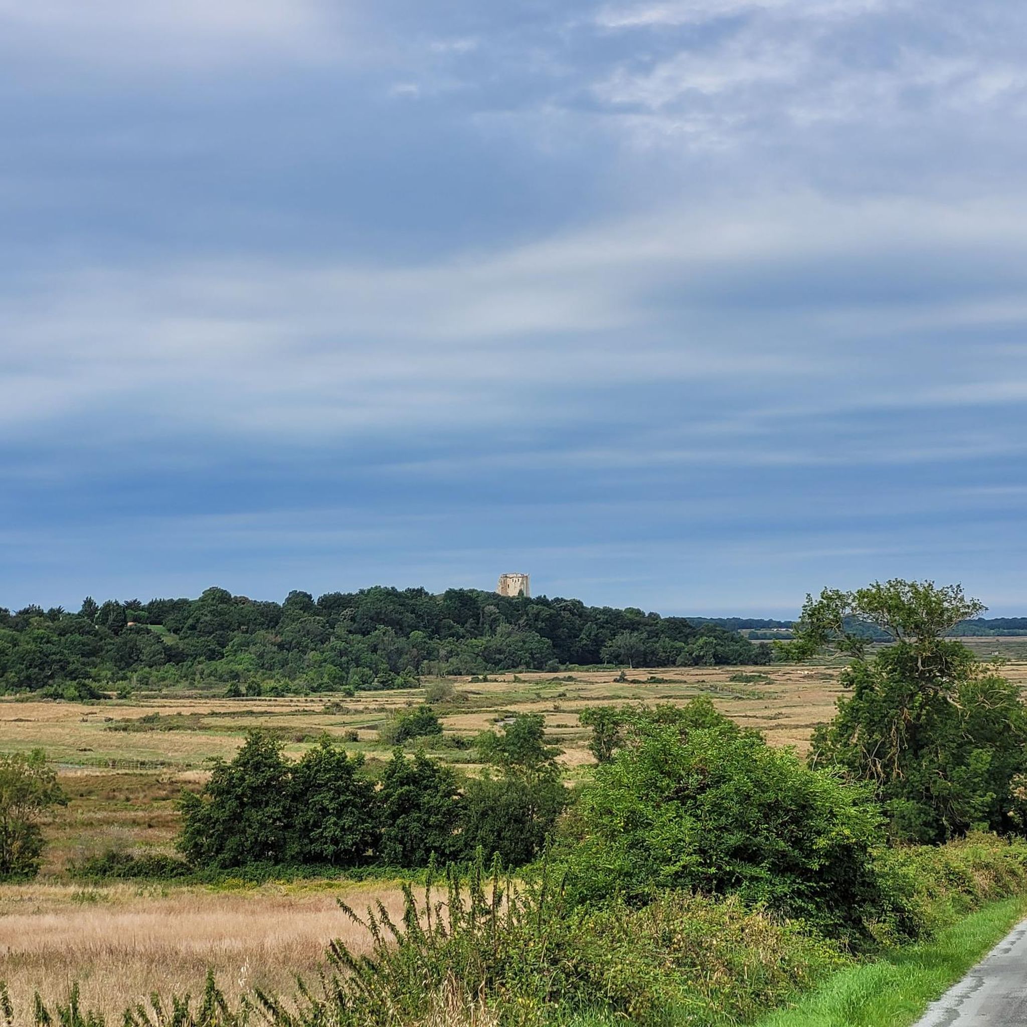
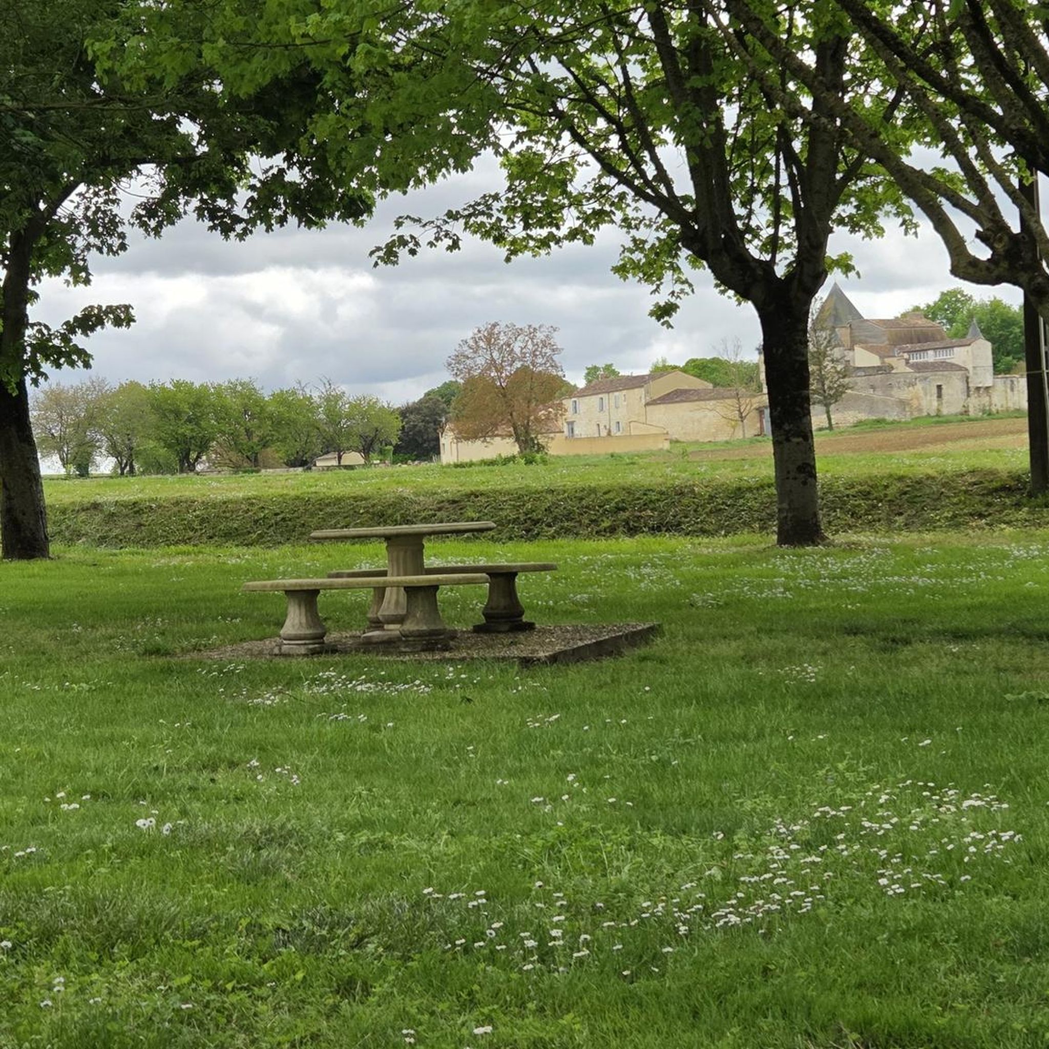
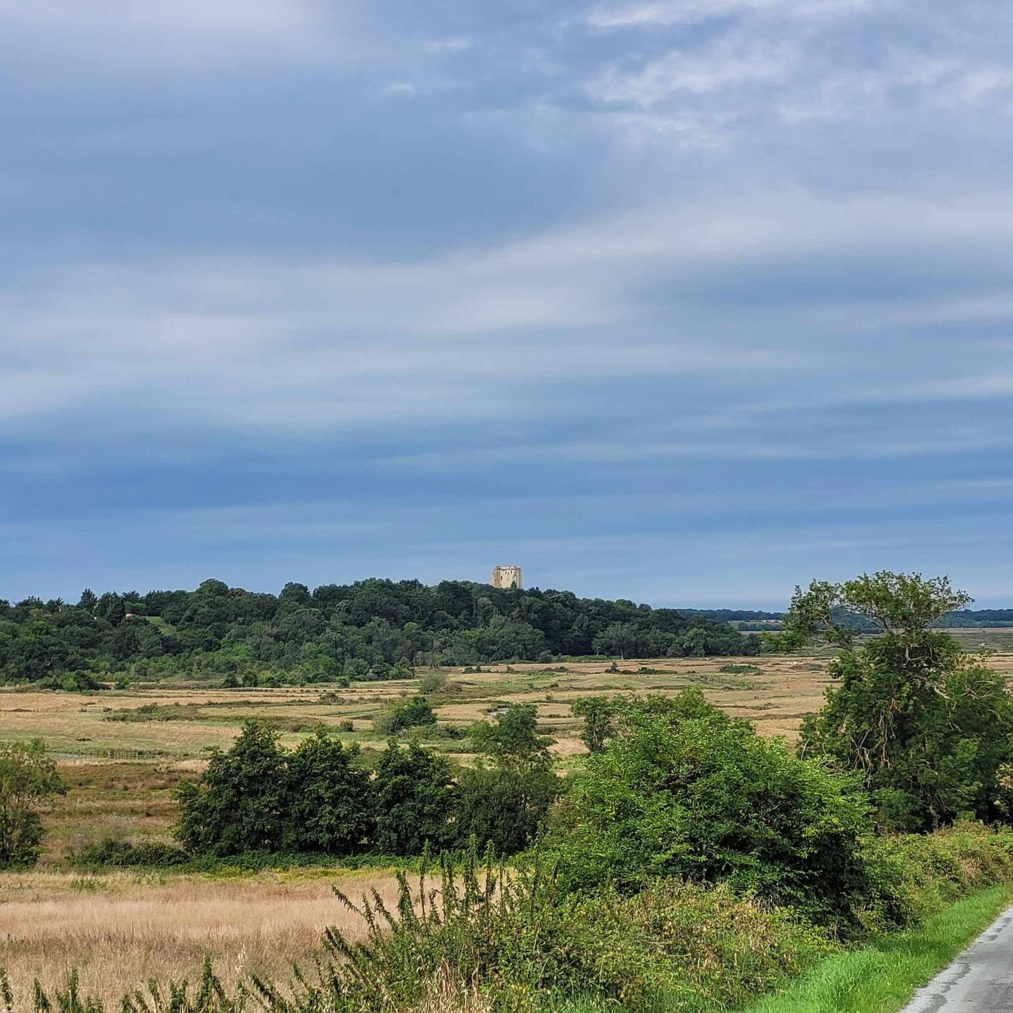

Tips from the Community

The port of Ribérou is a major heritage site in Saujon, bearing witness to a prosperous maritime past linked to the salt and wine trade. Transformed in the 19th century by ambitious works, it has now been reinvented as a place for living, relaxation, and preserving local history. 🛶 Origins and the Middle Ages The port of Ribérou takes its name from the Latin word ripa ("riverbank") or the Occitan word ribèira ("river"). It is located at the head of the Seudre estuary. It existed as early as the 11th century and became an important river and sea port thanks to its strategic position at the head of the estuary, used particularly for the salt trade—then called "white gold"—a highly sought-after product for preserving food. 🚢 Medieval Period and International Trade With the opening of British markets during the reigns of Eleanor of Aquitaine and Henry II Plantagenet, ships laden with wool, salt, wine, and other goods flocked to Ribérou. In the 16th century, the port exported local wines (such as cognac and pineau) throughout Europe. In 1577, during the Wars of Religion, the port was a strategic site: troops were stationed there, and battles took place. 🏗️ Decline, Reconstruction, and the 19th Century The estuary gradually silted up, making navigation difficult. By 1691, only smaller vessels could dock there. During the French Revolution, the sale of the tidal mill, which helped remove sediment, worsened the silting, leading to the port's decline. A modernization project began in 1822, but it wasn't until 1839 that an ambitious program was launched under the impetus of Jules Dufaure—a native of Saujon and Minister of Public Works—with the construction of sturdy quays, slipways, a lock bridge (marking the boundary between fresh and salt water), and reception facilities. In 1842, the work was completed, and the main quay was named Quai Dufaure in honor of this political support. 📉 Gradual Decline and Modernization The arrival of the railway in 1876 and the persistent problems of silting led to a decline in the port's traditional commercial activity, already facing competition from other transport networks. In the 20th century, the port gradually lost its economic importance but remained active for traditional fishing and became a place for pleasure boating, leisure, and local culture. Urban and tourism development projects (particularly in 2011–2012) modernized the port while preserving its historical charm. 🌊 Today The port of Ribérou is now a small fishing and pleasure port, much appreciated for its walks along the Seudre River, water sports (canoeing, kayaking, paddleboarding, etc.), and seasonal events.
0
0


Pleasant walk in the autumn sun....a good balance between roads and paths....
0
0
The port of Ribérou is a fishing and pleasure port located at the end of the Seudre estuary, in Saujon. It is one of the two ports in the city, along with that of Breuil, a little downstream. Active since the 11th century, it took on its current appearance from 1842, under the impetus of the Minister of Public Works at the time, Jules Dufaure, a "local boy", who thus attempted to revive maritime trade and fishing activities, which were then in decline. Ideally located, on the edge of the city center, the La Lande leisure center and the preserved areas of the Seudre marshes (towpaths transformed into walking trails), it has become one of the major tourist attractions in Saujon, where theme evenings and the July 14 fireworks are organized. In 2011, the municipality began a renovation program for the port site, entrusted to the architect-urban planner Sophie Blanchet. It consists of transforming the old car parks into a pedestrian esplanade, a real meeting place with modern street furniture and, in the long term, green spaces. From the quays, lined with bourgeois buildings, small picturesque streets lined with hollyhocks allow you to crisscross the district and reach the city centre. The Ribérou lock bridge, known as the "bridge of opposing waters", was renovated in 2010. It marks the separation between the waters of the estuary (port side: brackish water) and the waters of the river (retention basin side: fresh water). Ribérou is a starting point for certain water sports (canoeing and kayaking). It is approximately 250 metres long and 40 metres wide. From Ribérou, it is possible to reach successively the ports of Breuil (Saujon), L'Éguille, Mornac, Chaillevette, Chatressac (Chaillevette), Grandes Roches and Orivol (Étaules), La Grève in Duret and Coux (Arvert), La Grève (La Tremblade) and La Cayenne (Marennes).
0
0
The organs of the Saint-Jean-Baptiste church in Saujon. In 1962-1963, Pierre Nadeau built a 6-stop organ, without visible pipes, entirely expressive. In 1973, Dominique Oberthür carried out a repair of the organ. In 1978-1979, the Etablissements Muhleisen of Strasbourg rebuilt the organ which was inaugurated by Jacques Dussouil on June 9, 1979. The Walther Buffet is a two-body, polychrome, in fir and plywood. The large body has three turrets (the central one in a pointed third) framing two flat faces. The back positive includes two flat turrets framing a flat face. The facade includes 56 tin pipes (29 in the large body and 27 in the back positive). Console in a window projecting from the base. 4 windchests with engravings and registers.
0
0
The first Romanesque church of Saint-Jean-Baptiste, about which we know practically nothing except that it replaced a monument destroyed and burned in 1415 by the English, at the same time as the priory of Saint-Martin and this by a certain Hutington, at the breaking of the truces of King Richard. Around 1530 it was ruined during the wars of religion. It had a vaulted nave and buttresses larger than the current church. The current church of Saint-Jean-Baptiste, built between 1679 and 1683, on a project by Jacques Guérinet, architect of the convent buildings of the Abbaye-aux-Dames de Saints. Houses four capitals of the old Romanesque church, discovered during work carried out on the fairground. One of them shows Daniel in the lion's den, the saint seated blessing holds the Book. It is separated from the wild animals by a horseshoe-shaped mandorla, decorated with pearls. Another capital represents the Resurrection with the Holy Women and the tomb on which the angel is seated. The third illustrates the Weighing of Souls. The clothes, the finely worked details, the varied expressions of the characters (note the horrible clawed demon who tries to tip the scales on his side), make this work one of the peaks of Saintonge Romanesque sculpture. The last one presents an enigmatic scene: characters, including a man bending under the weight of an enormous fish that he is carrying. These four capitals, which are among the most beautiful sculpted works of Saintonge, are placed at a low height, which allows one to admire all the details. The following website is very well documented on these capitals: http://chapiteaux.free.fr/TXT_Saujon.html
0
0
Frequently Asked Questions
How many gravel bike trails are available around Balanzac?
There are 7 gravel bike trails available around Balanzac, offering a variety of experiences through the region's flat, agricultural landscapes.
What is the general difficulty level of gravel biking trails around Balanzac?
The trails around Balanzac cater to various skill levels. You'll find 2 easy routes, 4 moderate routes, and 1 difficult route, ensuring options for both beginners and experienced riders.
Are there any beginner-friendly gravel routes in Balanzac?
Yes, Balanzac offers several routes suitable for beginners. The region's generally low elevation gains make it ideal for less strenuous rides. For a moderate option that's still accessible, consider the Porche de Pont l'Abbé loop from Pont-l'Abbé-d'Arnoult, which is 20.5 miles (32.9 km) long.
What are some challenging gravel routes for experienced riders?
For experienced riders seeking a longer challenge, the Crazannes Castle – Royal Ropewalk loop from Aire de covoiturage Saint-Sulpiced'Arnoult - Fief de Foix is a difficult 61.7 miles (99.3 km) trail. This route features varied terrain and historical landmarks, providing a substantial ride.
Can I find circular gravel routes in the Balanzac area?
Yes, many of the gravel routes around Balanzac are designed as loops, allowing you to start and finish at the same point. An example is the Pirelonge Tower – Riberou Port loop from Corme-Royal, a 29.0 miles (46.7 km) trail.
What kind of scenery and landmarks can I expect to see on gravel rides near Balanzac?
Gravel rides around Balanzac feature quiet country lanes, agricultural fields, and riverside sections. You'll encounter charming small villages and historical sites. Notable landmarks include the Riberou Port and various historical churches like the Saint-Romain Church of Saint-Romain-de-Benet and Saint Sulpice Church, Saint-Sulpice-d'Arnoult.
Are the gravel bike trails around Balanzac suitable for families?
Given the generally flat terrain and low elevation gains, many of the easier and moderate routes around Balanzac are suitable for families. These trails often follow quiet country roads, making for a pleasant and safe riding experience.
What is the best time of year for gravel biking in Balanzac?
The Charente-Maritime region generally experiences mild weather, making spring and autumn ideal for gravel biking. The temperatures are pleasant, and the landscapes are vibrant. Summer can also be enjoyable, but it's advisable to ride earlier in the morning or later in the afternoon to avoid the midday heat.
Can I go gravel biking in Balanzac during winter?
Winter in Balanzac is typically mild, allowing for gravel biking. However, be prepared for potentially wet and muddy conditions on unpaved sections, especially after rainfall. Always check local weather forecasts before heading out.
Are there places to stop for refreshments or cafes along the gravel routes?
The routes often connect small villages, where you may find local cafes, bakeries, or small shops to refuel. It's always a good idea to carry sufficient water and snacks, especially on longer rides, as services might be spread out.
What do other gravel bikers enjoy most about the trails in Balanzac?
The gravel biking experience around Balanzac is highly rated by the komoot community, with an average score of 3.8 stars from over 8 reviews. Riders frequently praise the quiet country roads, the scenic agricultural landscapes, and the opportunity to discover historical sites and charming villages along the way.
Do I need any special permits for gravel biking in Balanzac?
No, you do not need any special permits for gravel biking on the public trails and roads around Balanzac. The routes primarily utilize public country roads and paths.
Most popular attractions around Balanzac

Get inspired with the komoot mobile app


Explore more
Browse the best Gravel rides in other regions.
