The best gravel rides around Castelfranc
3.9
(7)
21
riders
3
rides
Gravel biking around Castelfranc offers varied terrain within the Lot department of south-western France. The region is characterized by its location at the confluence of the Lot, Vert, and Masse rivers, providing scenic waterside routes. Riders encounter the sandy, hilly, and forested environment of the Bouriane, alongside limestone plateaus known as "causse" landscapes. The Lot Valley features both paved and unpaved surfaces, including sections of disused railway lines converted into greenways, suitable for gravel exploration.
Best gravel bike trails around…
Last updated: October 23, 2026
5.0
(1)
9
riders
41.1km
02:28
370m
360m
Moderate gravel ride. Good fitness required. Mostly paved surfaces.
3
riders
23.0km
01:46
380m
380m
Moderate gravel ride. Good fitness required. Mostly paved surfaces.

3.0
(1)
4
riders
38.7km
03:02
670m
670m
Hard gravel ride. Very good fitness required. Mostly paved surfaces.
2.5
(2)
2
riders
40.6km
02:46
590m
600m
Hard gravel ride. Very good fitness required. Mostly paved surfaces.
5.0
(3)
2
riders
30.3km
02:19
490m
490m
Hard gravel ride. Very good fitness required. Mostly paved surfaces.
Our route recommendations are based on thousands of hikes, rides, and runs completed by other people on komoot.
Start today with a free account
Your next adventure awaits.


Tips from the Community

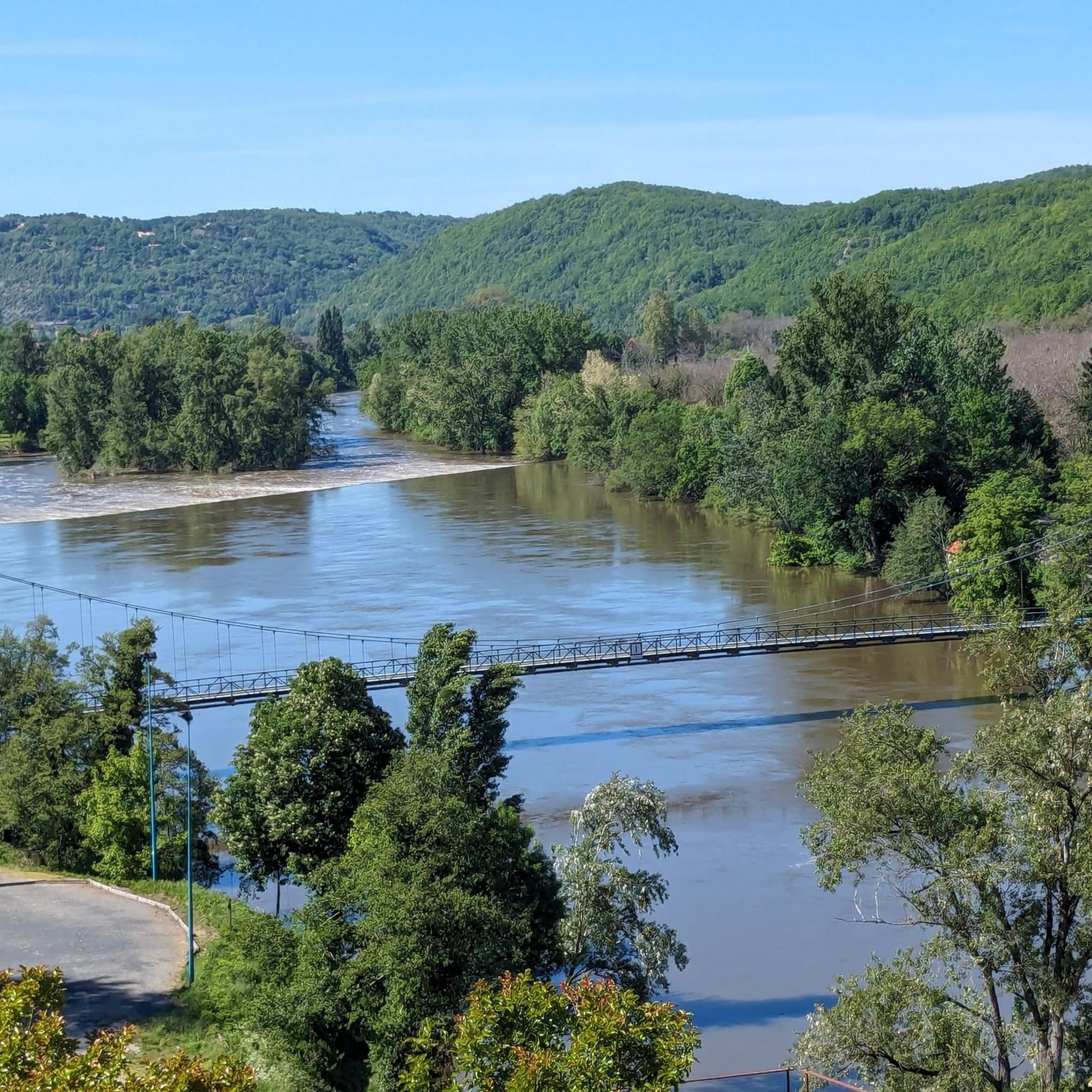
The green way and cycle route of the Lot Valley (V86) is a large and secure cycle route that stretches for about 430 to 480 km, connecting La Canourgue in Lozère to Aiguillon in Lot-et-Garonne. The route follows the meanders of the Lot river through varied landscapes of limestone cliffs, vineyards, orchards, and causses.
0
0
The Voie verte et véloroute de la Vallée du Lot (V86) is a great and safe cycle route that stretches for about 430 to 480 km, connecting La Canourgue in Lozère to Aiguillon in Lot-et-Garonne. The route follows the meanders of the Lot river through varied landscapes of limestone cliffs, vineyards, orchards, and causses.
0
0
The medieval Tower of Luzech: This 24-meter-high, elongated keep dominates the medieval castrum. Built by the Bishop of Cahors, Guillaume de Cardaillac, in the 13th century, the building is undergoing a major restoration program, supported by the Fondation du patrimoine, to secure its structure and allow its reopening to the public.
0
0
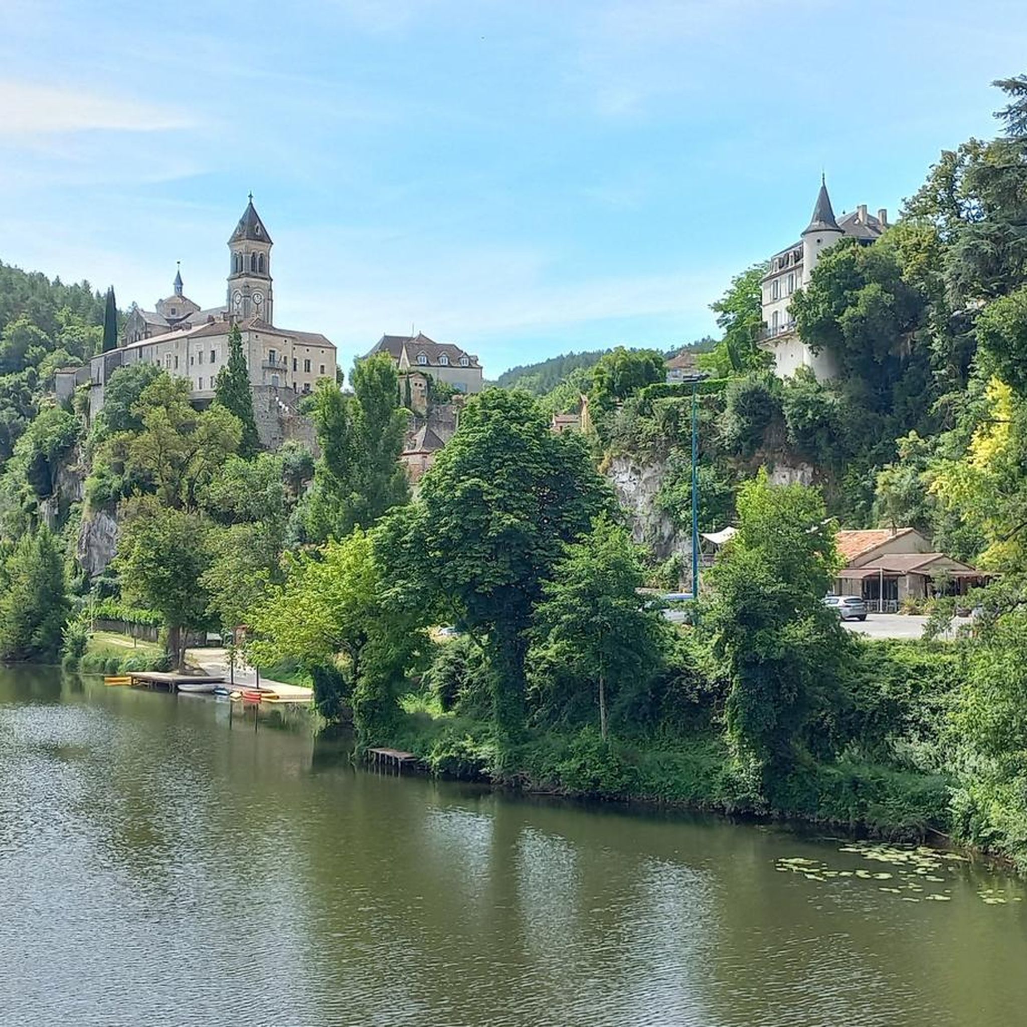
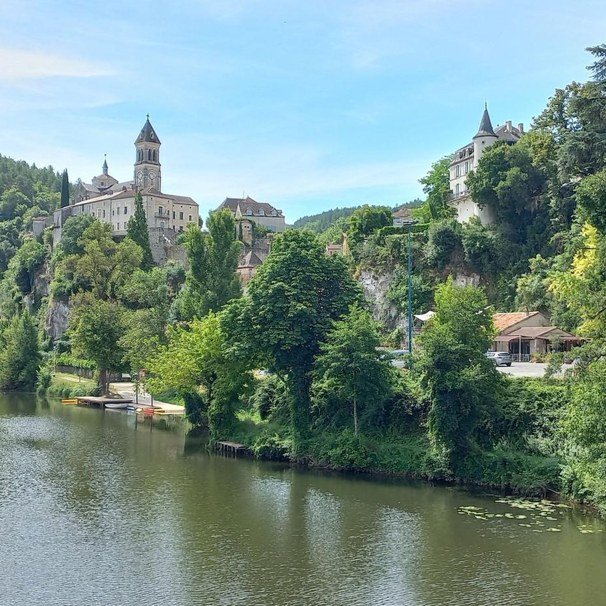
Albas, nicknamed "Albas la Jolie", is a magnificent medieval fortified village nestled in the heart of the Lot valley, in the Occitanie region. Perched on a rocky outcrop about 20 kilometers downstream from Cahors, the village proudly overlooks the meanders of the Lot river and the famous Cahors vineyard.
0
0
Albas, nicknamed « Albas la Jolie », is a magnificent medieval fortified village nestled in the heart of the Lot valley, in the Occitanie region. Perched on a rocky spur about 20 kilometers downstream from Cahors, the village proudly overlooks the meanders of the Lot river and the famous Cahors vineyard.
0
0
Albas, nicknamed « Albas la Jolie », is a magnificent medieval fortified village nestled in the heart of the Lot valley, in the Occitanie region. Perched on a rocky spur about 20 kilometers downstream from Cahors, the village proudly overlooks the meanders of the Lot river and the famous Cahors vineyard.
0
0
The Saint-Matré stream is an 11 km long watercourse that rises in Porte-du-Quercy and flows into the Lot river on the left bank in Grézels.
0
0
A pleasant grassy beach on the banks of the Lot, ideal for enjoying a cool and shady moment of relaxation, in the heart of this charming bastide village.
0
0
Frequently Asked Questions
How many gravel bike trails are available around Castelfranc?
There are several gravel bike trails around Castelfranc, with komoot listing 5 routes that cater to various preferences. These routes offer a diverse experience across the region's unique landscapes.
What kind of terrain can I expect on gravel bike trails around Castelfranc?
The terrain around Castelfranc is quite varied, ideal for gravel biking. You'll encounter the sandy, hilly, and forested environment of the Bouriane, alongside limestone plateaus known as 'causse' landscapes. Many routes follow the Lot River, utilizing both paved and unpaved surfaces, including sections of disused railway lines converted into greenways. Expect a mix of riverside paths, rolling hills, and dense forests.
What is the best time of year for gravel biking in Castelfranc?
The Lot department, where Castelfranc is located, generally offers pleasant conditions for gravel biking from spring through autumn. Spring brings lush greenery and wildflowers, while autumn provides beautiful foliage. Summers can be warm, so early morning or late afternoon rides are often preferred. Always check local weather forecasts before heading out.
Are there options for different fitness levels among the gravel routes?
Yes, the routes around Castelfranc offer options for different ability levels. While many routes are classified as 'difficult' due to the hilly terrain and significant elevation gains, there is at least one 'moderate' path, such as the Luzech – Rives du Lot loop from La Gare, which follows the Lot River and offers a more accessible experience.
What interesting places can I see along the gravel bike trails?
Many gravel routes pass through charming traditional villages and offer scenic views. You might cycle through Albas or Puy-l'Évêque, and even pass by historical sites like Luzech. The region is also known for its vineyards, especially those of Cahors, which add a cultural dimension to your rides. The Lot River itself provides numerous picturesque waterside views.
Are there family-friendly gravel trails in Castelfranc?
While many routes in the area feature challenging hilly terrain, sections of the Lot Valley Cycle Route, particularly those utilizing disused railway lines converted into greenways, can be more suitable for families. These paths often offer a mix of paved and unpaved surfaces along the river, providing a gentler experience. Always check the route details for elevation and surface type to ensure it matches your family's capabilities.
Can I bring my dog on the gravel trails?
Generally, dogs are welcome on public trails in France, especially in rural areas like Castelfranc. However, it's always best to keep your dog on a leash, especially when passing through villages, near livestock, or in nature reserves. Be mindful of local regulations and ensure your dog is well-behaved and doesn't disturb wildlife or other trail users.
Where can I find parking for gravel biking routes in Castelfranc?
Parking is typically available in the villages and towns that serve as starting points for many routes, such as Castelfranc itself, Albas, Puy-l'Évêque, or Luzech. Look for designated public parking areas. For specific routes, checking the komoot tour details often provides information on suitable starting points and parking options.
Are there circular gravel bike routes available?
Yes, many of the gravel bike routes around Castelfranc are designed as loops, allowing you to start and end in the same location. Examples include the Albas – Luzech loop from Vignoble Domaine Clos de Pougette and the Puy-l'Évêque – Greenway Along the Lot River loop from Grézels, which offer convenient circular journeys.
What are the typical distances and elevations for gravel routes here?
Gravel routes around Castelfranc vary significantly. Distances typically range from around 25 to 40 miles (40 to 64 km). Elevation gains can be substantial due to the hilly nature of the region, often ranging from 1,300 to over 2,600 feet (400 to 800 meters) of ascent per ride. For example, the Bridge at Douelle – Luzech loop from Luzech covers about 25 miles with over 2,200 feet of elevation gain.
What do other gravel bikers say about the trails in Castelfranc?
The gravel biking experience around Castelfranc is highly rated by the komoot community, with an average score of 3.0 stars from over 2 reviews. More than 25 gravel bikers have used komoot to explore the varied terrain, often praising the scenic riverside paths, challenging climbs over limestone plateaus, and the quiet, forested sections.
Are there any cafes or places to stop for refreshments along the routes?
Yes, many gravel routes pass through or near charming villages like Albas, Puy-l'Évêque, and Luzech, where you can find local cafes, bakeries, or small restaurants to refuel. It's always a good idea to carry sufficient water and snacks, especially on longer or more remote sections, as services might be sparse between villages.
Most popular routes around Castelfranc
Most popular attractions around Castelfranc

Get inspired with the komoot mobile app


Explore more
Browse the best Gravel rides in other regions.
