The 3 Most Amazing Peaks around Tagmersheim
Best mountain peaks around Tagmersheim are found within a region characterized by rolling hills, dense forests, and unique geological features. This area, part of the Altmühltal Nature Park, offers elevated terrain that provides challenging and scenic hiking experiences. While not high alpine summits, these locations feature distinctive rock formations and panoramic vistas. The municipality itself is situated at an elevation of approximately 500 meters.
Best mountain peaks around Tagmersheim
- The most popular mountain peaks is Löwenkopf Viewpoint, a viewpoint…
Last updated: June 28, 2026
Maderfelsen Summit Cross
Highlight • Summit
Translated by Google •
Tip by

Löwenkopf Viewpoint
Highlight • Viewpoint
Translated by Google •
Tip by

Sign up now to discover places like this
Get recommendations on the best single tracks, peaks, & plenty of other exciting outdoor places.
Sign up for free
Langenaltheimer Hardt Summit Cross
Highlight • Summit
at the summit cross there are 4 small seating options for a rest
Translated by Google •
Tip by

Summit tree with lighting and view
Highlight • Viewpoint
Translated by Google •
Tip by
Start today with a free account
Your next adventure awaits.
Login or Signup
Popular around Tagmersheim
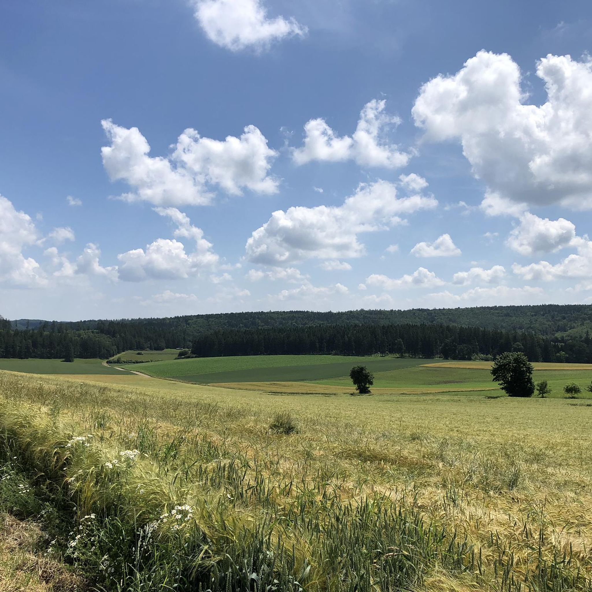
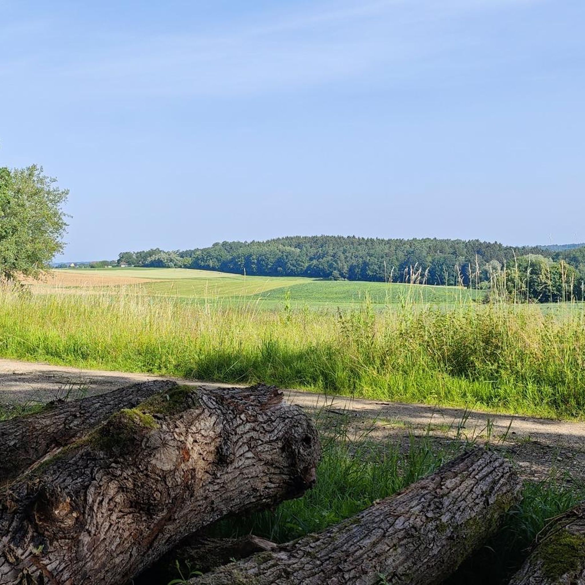
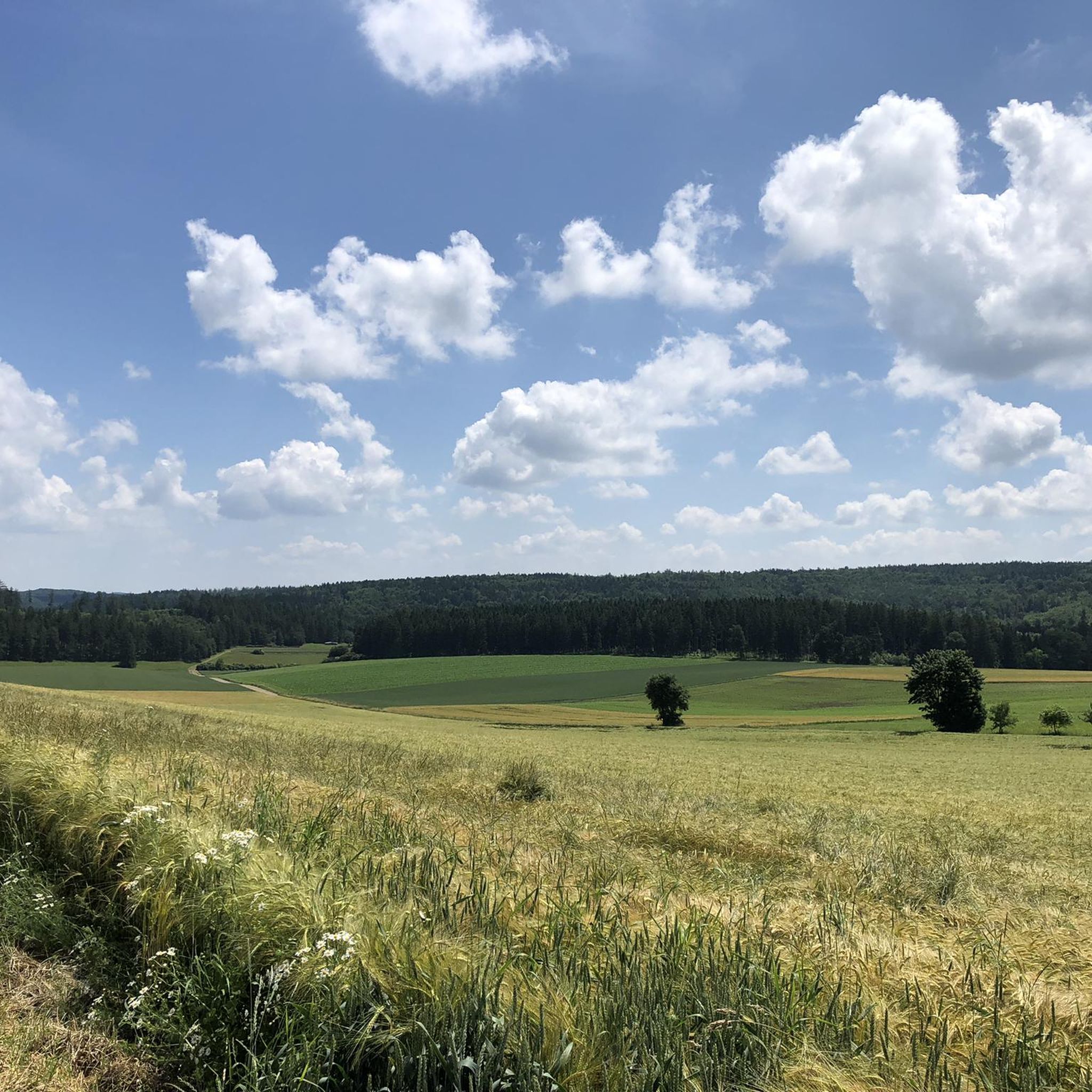
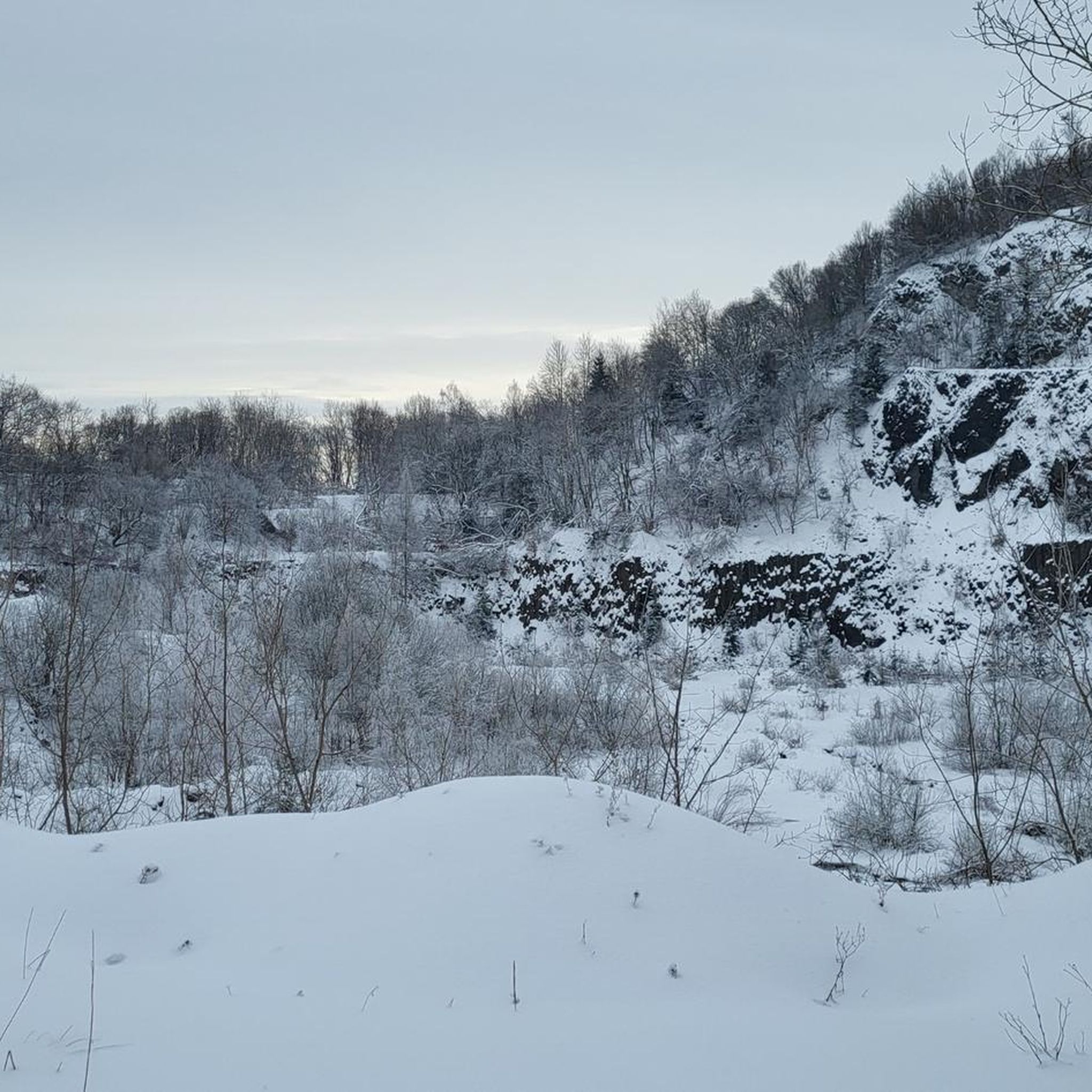
Other adventures around Tagmersheim

Tips from the Community

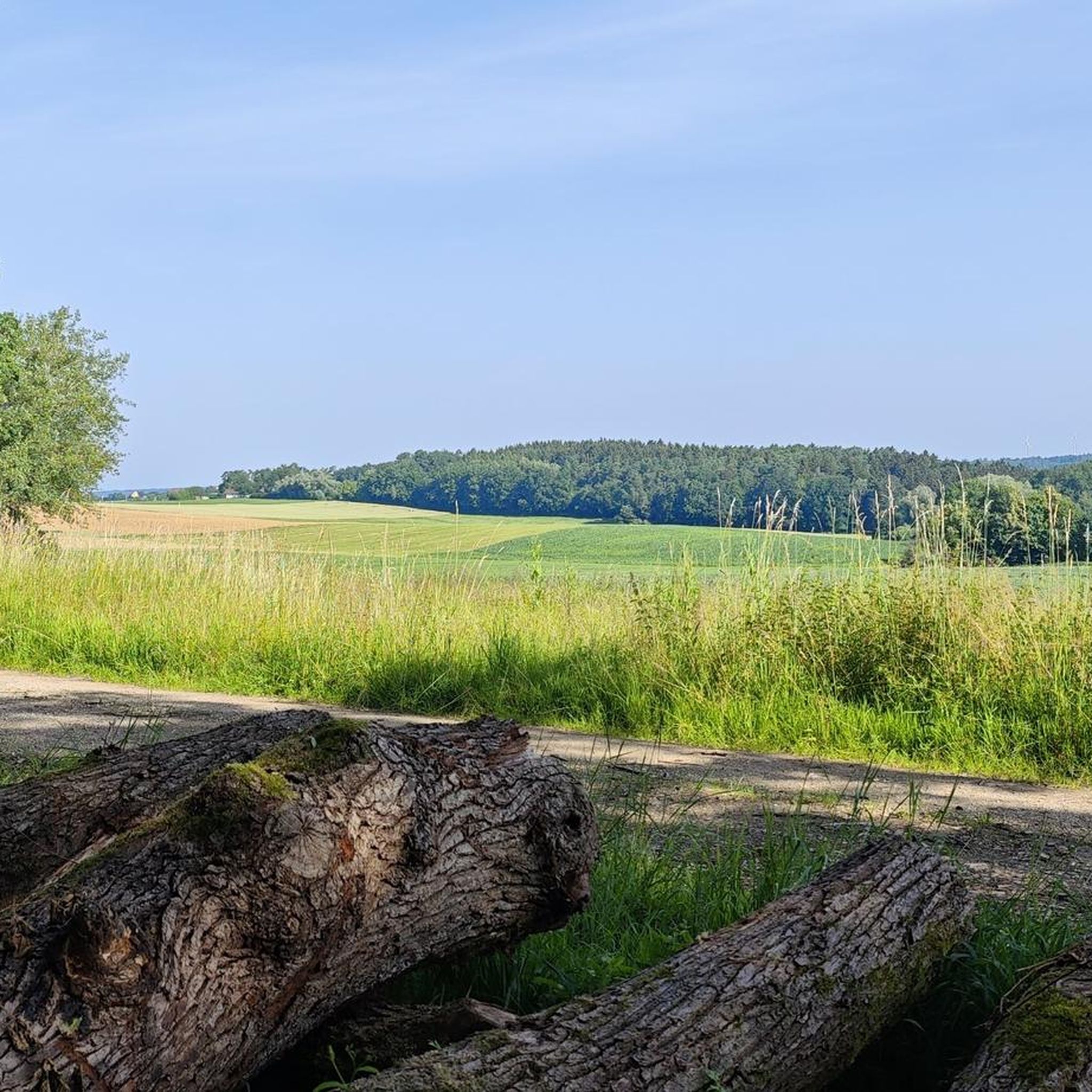
Just a few meters from the hiking trail (signposted!) is this incredibly magnificent viewpoint: a sweeping view over the ancient Danube Valley. This tiny detour is a must—don't miss it! Even if you have to climb the last few meters...
0
0

From the Maderfelsen you have a beautiful view of the town of Dollnstein with its ring wall, old town and Altmühl. There is a cross on the summit.
1
0

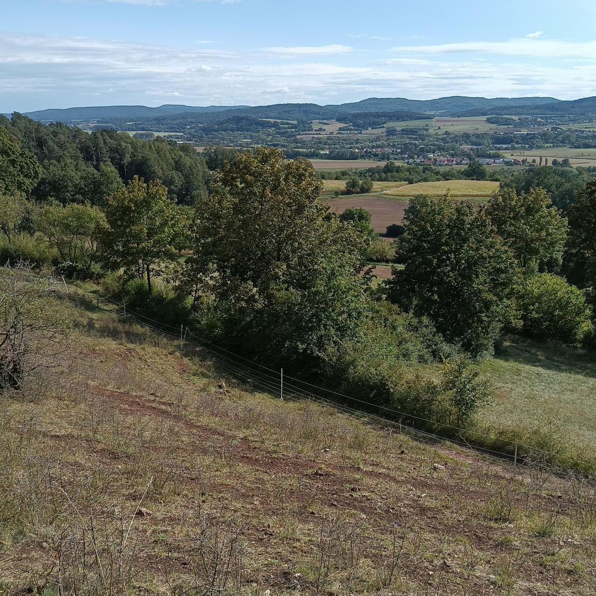
View and summit cross are easy to reach. The view of the Danube valley from above is always worth a lot
2
0

a beautiful view of the Danube valley can be enjoyed up here. In addition, this place is very nicely laid out with a summit tree with candle bottles, a cross and a memorial stone
3
0
Very nice quiet place with a summit cross and a great view at the summit cross there are 4 small seating options for a rest
5
0

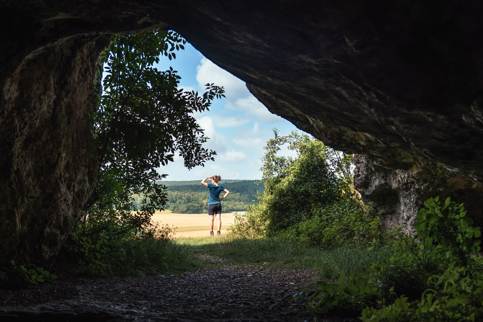
A beautiful and easy to reach vantage point with a view of Konstein and the climbing rocks.
2
0

When the weather is nice, you can watch climbers
2
1

Nice vantage point with a view of Konstein.
2
1
Frequently Asked Questions
What kind of elevated terrain and
The region around Tagmersheim, situated in the Altmühltal Nature Park, features elevated terrain with rolling hills, dense forests, and unique geological formations rather than high alpine peaks. A prominent example is the Dohlenfelsen, known for its distinctive rock formations and panoramic views. These areas offer challenging hiking experiences within a unique Jura plateau landscape.
What are some of the most scenic viewpoints or summits to visit near Tagmersheim?
For breathtaking views, consider visiting the Löwenkopf Viewpoint, which offers a great perspective of the Dohlenfelsen. Another excellent spot is the Langenaltheimer Hardt Summit Cross, providing a quiet place with expansive views of the Langenaltheim off-road park and surrounding quarries. You can also find a beautiful view of the Danube valley from the Summit tree with lighting and view, which is also nicely laid out with a cross and memorial stone.
Are there challenging hiking routes around Tagmersheim's elevated areas?
Yes, the elevated areas around Tagmersheim, particularly those involving the Dohlenfelsen, offer challenging hiking routes. Trails often require good fitness and sure-footedness, making them suitable for experienced hikers. For example, the "Dohlenfelsen – Rock Window loop from Wellheim" is a 6.9 km route with notable elevation gains, taking about 2 hours and 20 minutes to complete. Another popular option is a 5.0 km loop from Konstein that traverses varied forest and rock landscapes.
What outdoor activities can I do near the elevated areas of Tagmersheim?
Beyond hiking, the region offers various outdoor activities. You can explore numerous cycling routes, including challenging gravel rides like the "Solnhofer Platten-Runde" or moderate touring bicycle routes such as the "Hölzerne Klinge rock arch – Dollnstein Old Town loop." For runners, there are dedicated jogging trails like the "Hölzerne Klinge rock arch – The Wooden Ravine loop." Find more details on these activities in the Traffic-free bike rides around Tagmersheim, Cycling around Tagmersheim, and Running Trails around Tagmersheim guides.
What geological features are prominent in the Tagmersheim region?
The Tagmersheim region is characterized by the Jura plateau, which features distinctive geological formations. You'll encounter unique rock formations, sinkholes, and dry valleys that contribute to the varied and interesting terrain experienced during hikes. The Dohlenfelsen is a prime example of these striking rock formations.
Are there family-friendly options for exploring the elevated areas around Tagmersheim?
While many trails are described as challenging, the region offers varied terrain. For families, it's advisable to look for shorter, less strenuous loops. While specific family-friendly highlights aren't detailed, the general area provides opportunities for nature walks. Always check route descriptions for difficulty and elevation before heading out with children.
What is the best time of year to hike the elevated trails near Tagmersheim?
The best time to hike the elevated trails near Tagmersheim is generally during the spring, summer, and autumn months when the weather is mild and the trails are dry. During these seasons, you can fully appreciate the panoramic views and natural beauty. Be aware that paths may be slippery in wet conditions, so appropriate footwear is always recommended.
What should I be aware of regarding trail conditions around Tagmersheim?
Trails in the elevated areas around Tagmersheim can be challenging, often requiring good fitness and sure-footedness. Some paths may be slippery, especially in wet conditions, due to the natural rock formations and forest terrain. Always wear appropriate hiking footwear and be prepared for varied surfaces.
What do visitors enjoy most about the viewpoints and summits in the Tagmersheim area?
Visitors consistently praise the stunning panoramic views from spots like the Löwenkopf Viewpoint and the Langenaltheimer Hardt Summit Cross. They appreciate the quiet, natural settings and the opportunity to see the surrounding landscape, including the Altmühltal Nature Park, the Danube valley, and even local quarries. The well-maintained resting spots at some summits also add to the positive experience.
Are there any unique or less-known elevated spots worth discovering near Tagmersheim?
While the Dohlenfelsen is well-known, the Summit tree with lighting and view offers a unique experience. It's not just a viewpoint but a thoughtfully designed spot with a summit tree adorned with candle bottles, a cross, and a memorial stone, providing a beautiful and reflective view of the Danube valley.
Most popular routes around Tagmersheim
Most popular attractions around Tagmersheim

Get inspired with the komoot mobile app


Explore more
See even more amazing summits around Tagmersheim with these guides:
