The best walks and hikes in Sic Valle Basento Grassano Scalo
4.2
(19)
47
hikers
9
hikes
Valle Basento Grassano Scalo hiking trails traverse a landscape characterized by dramatic "calanchi" formations, which are spectacular clay erosion features. The Basento River, the longest in Basilicata, flows through the area, creating a vital riparian ecosystem with lush vegetation. Hikers can explore diverse habitats including riverine forests, Mediterranean pseudosteppes, and scrubland on the clay slopes. This region offers a sense of wilderness with open, sparsely inhabited spaces.
Best hiking trails in Sic Valle Basento Grassano Scalo
- The most popular hiking…
Last updated: June 26, 2026
3
hikers
Easy hike. Great for any fitness level. Easily-accessible paths. Suitable for all skill levels.
5.0
(2)
11
hikers
29.4km
09:00
1,000m
1,000m
Hard hike. Very good fitness required. Easily-accessible paths. Suitable for all skill levels.

Sign up for free
2
hikers
4.54km
01:16
90m
90m
Easy hike. Great for any fitness level. Easily-accessible paths. Suitable for all skill levels.
4.3
(9)
16
hikers
6.17km
02:00
260m
270m
Moderate hike. Good fitness required. Easily-accessible paths. Suitable for all skill levels.
1
hikers
10.6km
03:26
430m
430m
Moderate hike. Good fitness required. Easily-accessible paths. Suitable for all skill levels.
Get access to more routes and recommendations from other explorers.
Sign up for free
Already have an account?
Our route recommendations are based on thousands of hikes, rides, and runs completed by other people on komoot.
Start today with a free account
Your next adventure awaits.
Login or Signup
Popular around Sic Valle Basento Grassano Scalo
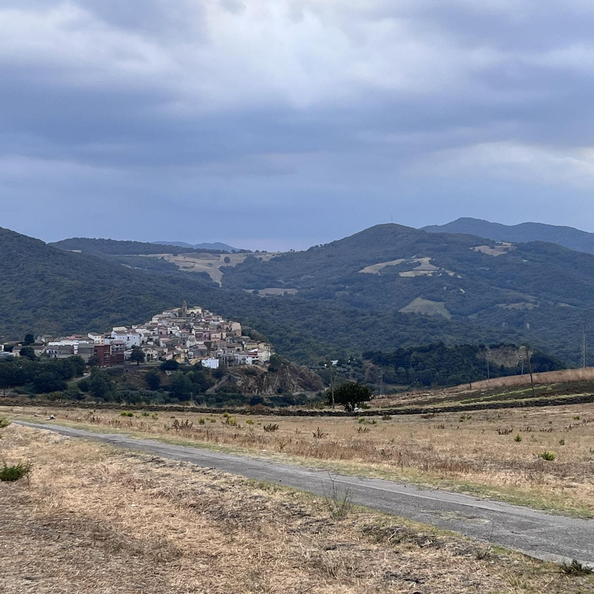
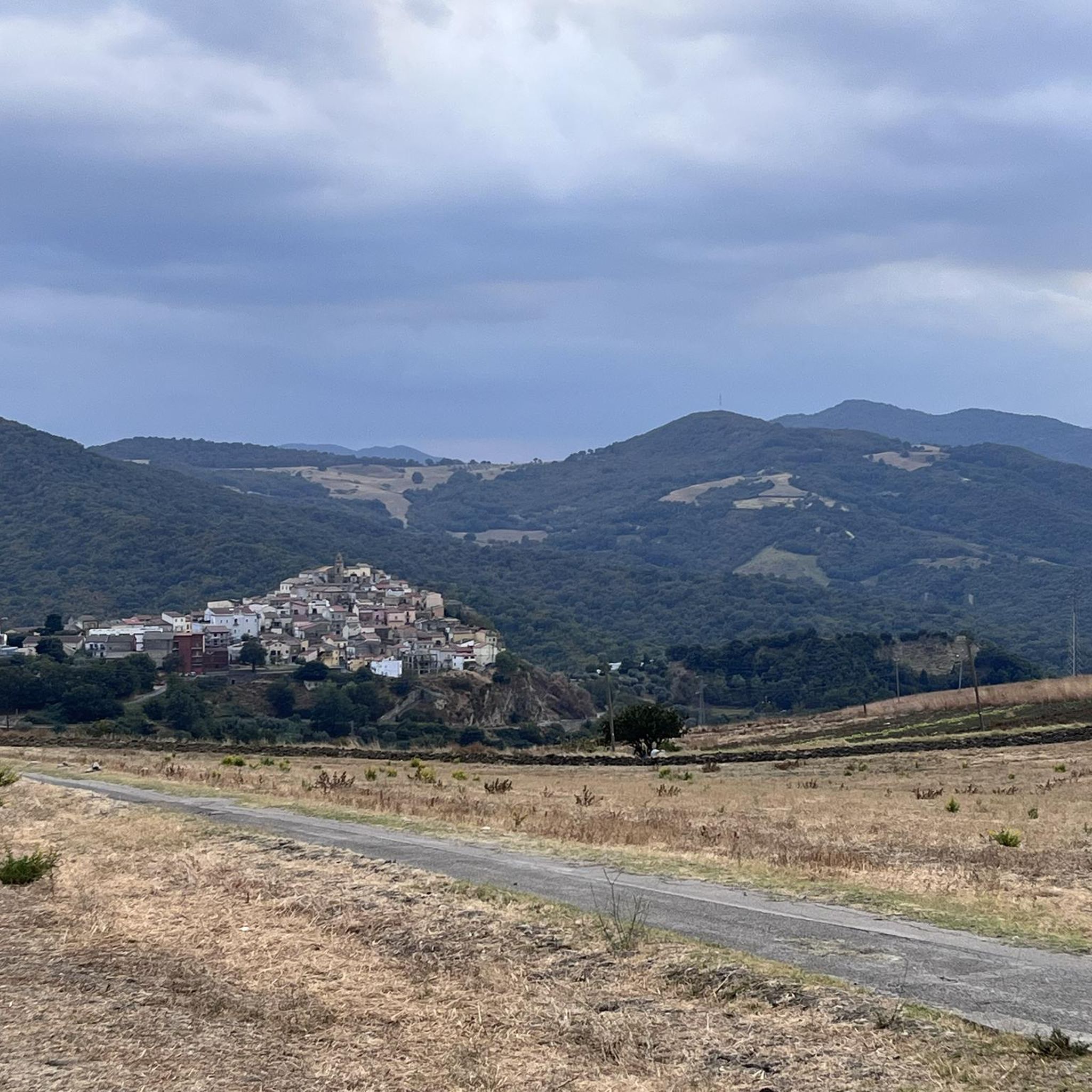
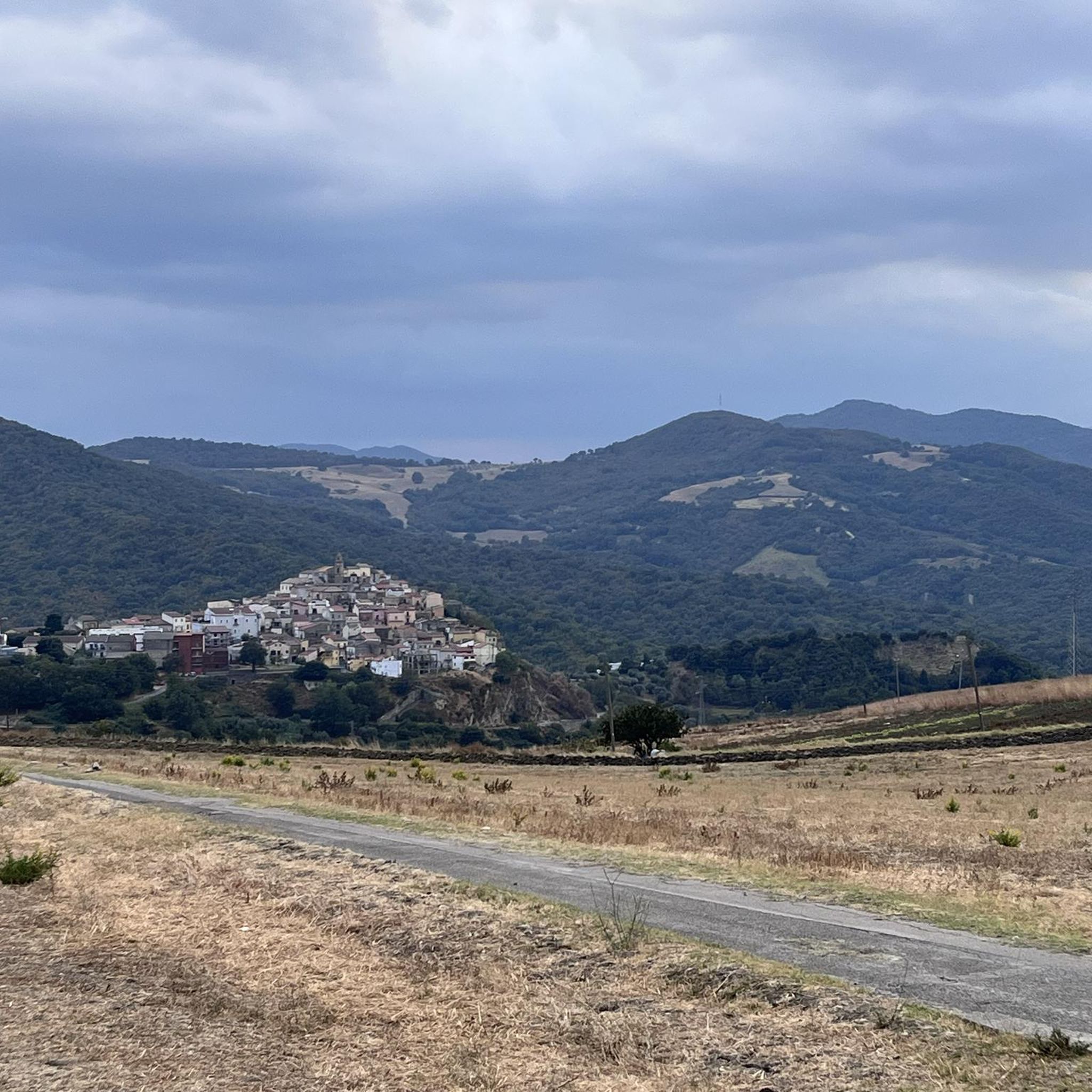
Tips from the Community

View of the Cathedral of SS. Maria Assunta
0
0


Medieval village of Norman origin with one of the best preserved historic centers in Basilicata. Famous above all for the Norman tower that stands out on the skyline of the city.
1
0
Located about 40 kilometers from Matera, Grassano is a beautiful village with medieval characteristics with its exposed stone buildings. The church of San Giovanni Battista is very beautiful.
1
0

The settlement develops on a hill, 1150 meters above sea level, dominating the centers of Civita and Serra del Cedro di Tricarico, Accettura, Albano, lapped by important transversal routes connecting the high valleys of the Basento del Bradano and of the middle Agri valley. An area of about 6 hectares is enclosed by an imposing defensive system, consisting of 3 circuits of walls, of which the best preserved defends the acropolis of the town. The fortification of the acropolis, which surrounds an area of three hectares, is built according to Greek construction techniques. It is a double curtain with an external face made of regular blocks of sandstone, a filling of stones mixed with the ground and an internal wall made of hewn stones only on the face. The blocks bearing quarry signs in Greek letters are concentrated near the main door. The main door, of the courtyard type with an almost square compartment, open to vehicles, opens towards the east. Two small pedestrian gates are located on the northern side of the walls and two other posterns open towards the south.
1
0
Here you will find the viewpoint from where you can observe a breathtaking show !!!!!!!!
0
0
Here you will find the Acropolis, perfectly squared blocks positioned with maniacal precision !!
0
0
Frequently Asked Questions
How many hiking trails are available in Sic Valle Basento Grassano Scalo?
There are currently 5 hiking trails available in Sic Valle Basento Grassano Scalo on komoot, offering a variety of experiences for different skill levels.
What unique natural features can I expect to see while hiking in this region?
The region is renowned for its dramatic "calanchi" formations, which are spectacular clay erosion features creating a distinctive badlands landscape. You'll also encounter the Basento River, the longest in Basilicata, which forms a vital riparian ecosystem with lush vegetation and diverse habitats, including riverine forests and Mediterranean scrubland.
Are there easy hiking options suitable for beginners or families?
Yes, there are 2 easy hiking routes perfect for beginners or families. One excellent option is the Norman Tower of Tricarico loop from Tricarico, an easy 3.2-mile (5.1 km) path that offers views of historical landmarks and the surrounding countryside. Another easy route is the Petre de la Mola – Acropolis Gate loop from Valico Di Monte Croccia, covering 2.9 miles (4.7 km).
Are there any longer or more challenging hikes for experienced trekkers?
For those seeking a more challenging adventure, the region offers a difficult route: the Grassano Historical Center – Nativity Scene of Grassano loop from Grassano. This extensive trail spans 18.1 miles (29.1 km) and involves significant elevation changes, typically taking nearly 9 hours to complete.
Can I find circular hiking routes in Sic Valle Basento Grassano Scalo?
Yes, many of the trails in the area are circular, offering convenient loop options. Examples include the Norman Tower of Tricarico loop from Tricarico, the Warrior's Tomb – Petre de la Mola loop from Valico Di Monte Croccia, and the Water Pipeline – Masseria Bufalara Junction loop from Grassano.
What is the best time of year to go hiking in Sic Valle Basento Grassano Scalo?
The best time to hike in Sic Valle Basento Grassano Scalo is generally during spring (April-June) and autumn (September-October). During these seasons, the weather is milder, and the natural landscapes, including the unique calanchi formations and riverine vegetation, are at their most vibrant. Summers can be quite hot, while winters might bring cooler temperatures and occasional rain.
Is the area suitable for wildlife spotting?
Yes, the Sic Valle Basento Grassano Scalo is a protected area recognized for its ecological value and biodiversity. It's particularly important for fauna, especially birds, with 93 species protected under nature directives. Hikers may also spot various plant species adapted to the clayey terrains and the river ecosystem, including the Italian bleak fish species.
What do other hikers say about the trails in Sic Valle Basento Grassano Scalo?
The hiking routes in Sic Valle Basento Grassano Scalo are highly rated by the komoot community, with an average score of 4.3 stars from over 16 reviews. Hikers often praise the unique geological formations, the sense of wilderness, and the diverse natural environments found along the trails.
Are there any historical landmarks or points of interest along the routes?
Yes, some routes incorporate historical elements. For instance, the Norman Tower of Tricarico loop from Tricarico offers views of this historical landmark. Another route, the Warrior's Tomb – Petre de la Mola loop from Valico Di Monte Croccia, leads past significant historical sites, adding a cultural dimension to your hike.
What should I consider bringing for a hike in this region?
Given the varied terrain, including clay slopes and riverine areas, it's advisable to wear sturdy hiking boots. Depending on the season, layers of clothing are recommended. Always carry sufficient water, especially on longer routes, and consider sun protection. A map or GPS device is also useful for navigation, though komoot provides detailed route information.
Are there any moderate difficulty trails available?
Yes, there are 2 moderate difficulty trails. The Warrior's Tomb – Petre de la Mola loop from Valico Di Monte Croccia is a 3.8-mile (6.2 km) trail often completed in about 2 hours. Another moderate option is the Water Pipeline – Masseria Bufalara Junction loop from Grassano, which is 9.2 miles (14.8 km) long.
Most popular routes in Sic Valle Basento Grassano Scalo

Get inspired with the komoot mobile app


Explore more
Browse the best Hikes in other regions.
