The best walks and hikes around La Chaux-des-Breuleux
4.6
(1195)
7,404
hikers
341
hikes
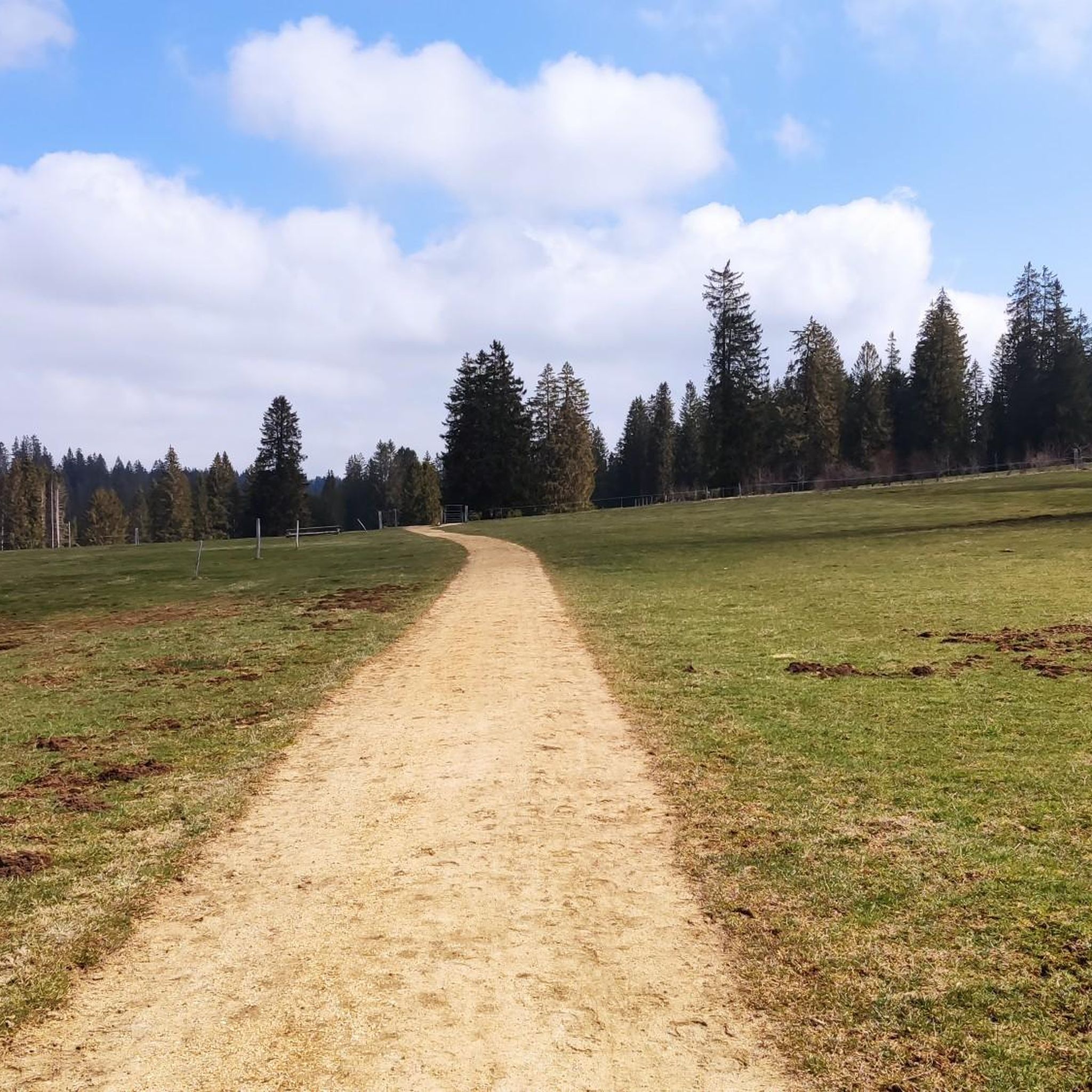
Hiking around La Chaux-des-Breuleux offers access to the unique landscapes of the Swiss Jura mountains. The region is characterized by extensive moorlands, peat bogs, and several captivating moor lakes like Étang de la Gruère and Étang des Royes. Hikers will find a mix of fir forests, vast pastures, and characteristic dry stone walls, all set within a tranquil environment. This area provides diverse terrain for outdoor activities, from gentle strolls to longer treks.
Best hiking trails around La Chaux-des-Breuleux
- The…
Last updated: September 30, 2026
4.7
(63)
546
hikers
2.93km
00:46
20m
20m
Easy hike. Great for any fitness level. Easily-accessible paths. Suitable for all skill levels.
4.4
(17)
75
hikers
8.05km
02:08
80m
80m
Moderate hike. Good fitness required. Mostly accessible paths. Sure-footedness required.

4.9
(11)
61
hikers
11.5km
03:06
150m
150m
Moderate hike. Good fitness required. Easily-accessible paths. Suitable for all skill levels.
4.4
(5)
32
hikers
Easy hike. Great for any fitness level. Easily-accessible paths. Suitable for all skill levels.
5.0
(1)
17
hikers
14.7km
03:56
170m
170m
Moderate hike. Good fitness required. Easily-accessible paths. Suitable for all skill levels.
Get access to more routes and recommendations from other explorers.
Already have an account?
Our route recommendations are based on thousands of hikes, rides, and runs completed by other people on komoot.
Start today with a free account
Your next adventure awaits.
Tips from the Community

It is definitely recommended to walk the entire 3 km around the lake. The stunning views will reward you for your efforts.
1
0

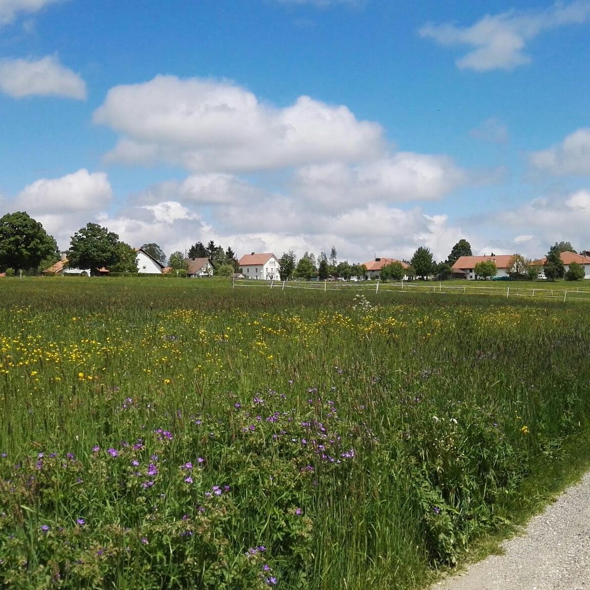
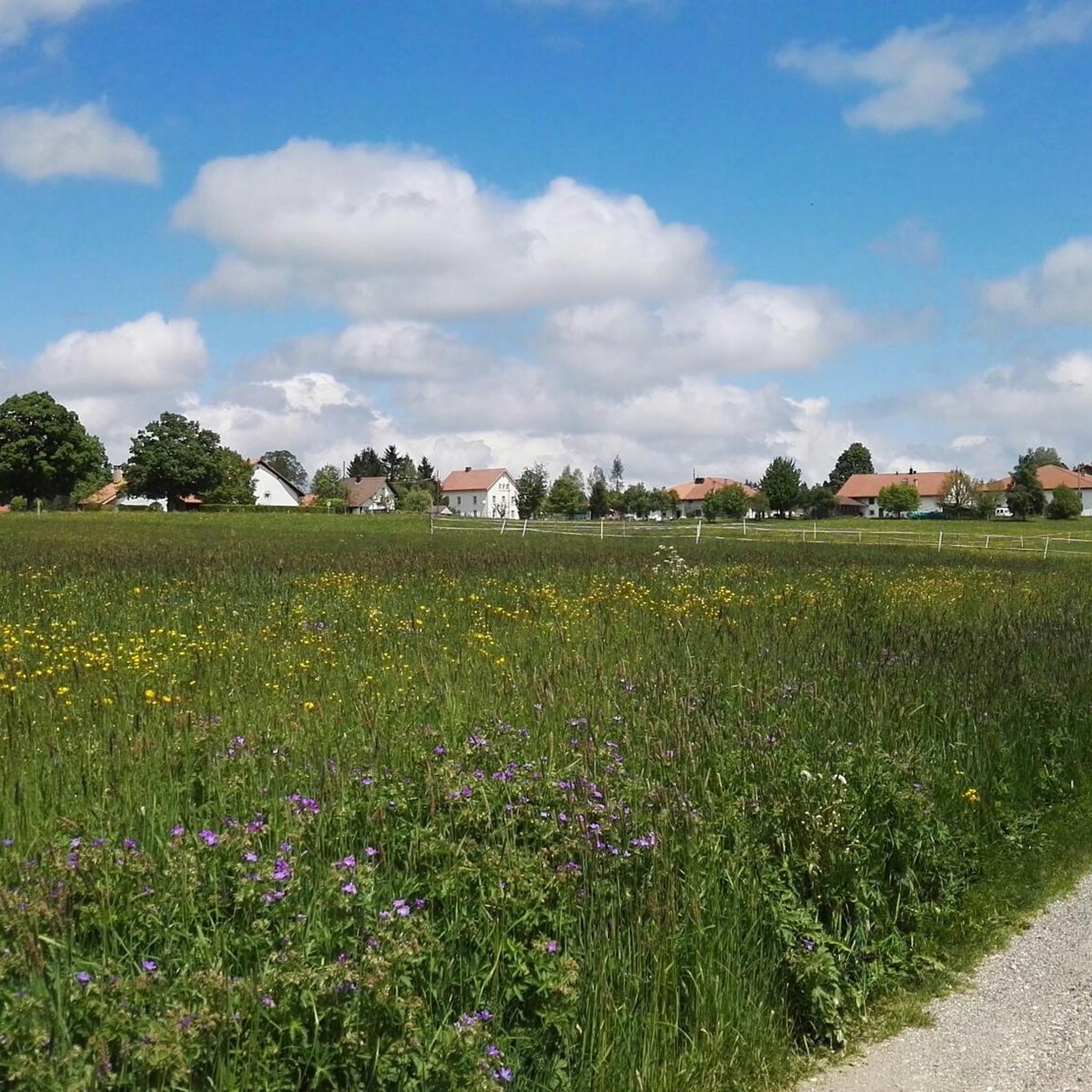
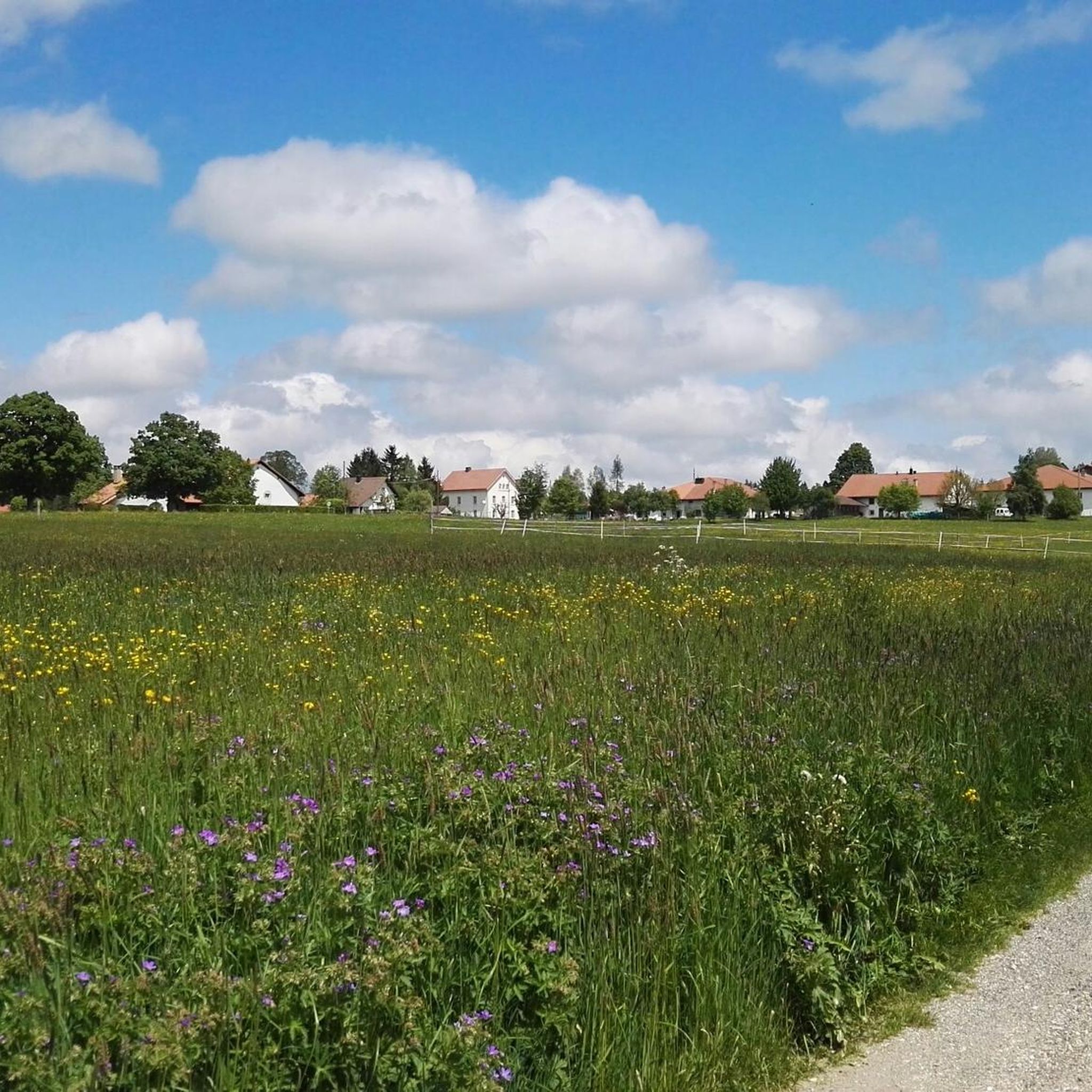
Beautifully situated on a large meadow with free-roaming horses. The tree stump next to it invites you to rest.
1
0

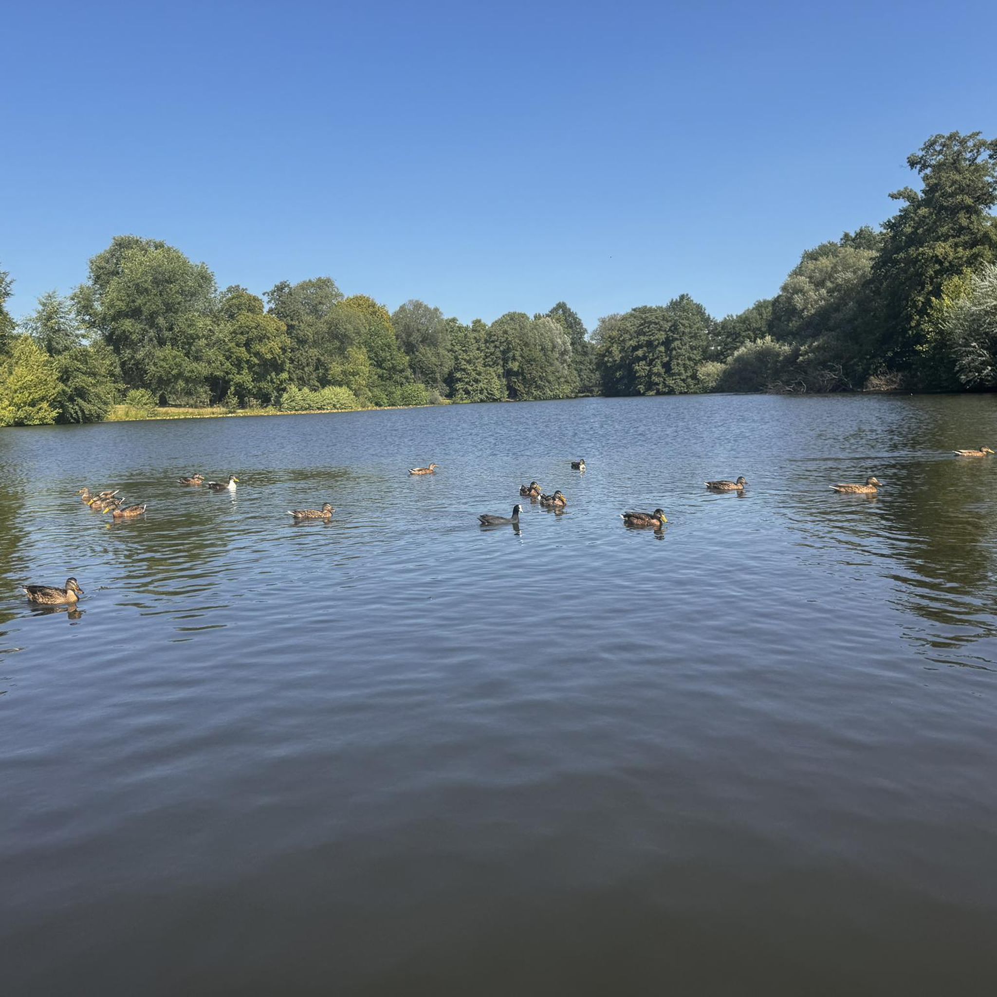
The moor lake is located at 998 m above sea level in the municipality of Saignelégier, approximately halfway between Saignelégier and Tramelan. It is 600 m long, at least 60 m wide, and approximately 4.5 m deep. The Étang de la Gruère nature reserve, including the forest area surrounding the lake itself and two other small moor ponds northeast of it, covers an area of approximately 1 km².
1
0
The moor lake is located at 998 m above sea level in the municipality of Saignelégier, approximately halfway between Saignelégier and Tramelan. It is 600 m long, at least 60 m wide, and approximately 4.5 m deep. The Étang de la Gruère nature reserve, including the forest area surrounding the lake itself and two other small moor ponds northeast of it, covers an area of approximately 1 km².
1
0
A beautiful natural gem and a magical place. Those who visit during off-peak times can avoid the crowds and enjoy the tranquility here.
2
0
This Hornussen field is located on a beautiful plateau, nestled among lush Jura meadows. It's great to be able to combine your hobby with this beautiful natural setting.
1
0

A detour to this natural pearl is worthwhile
1
0

Frequently Asked Questions
How many hiking trails are available around La Chaux-des-Breuleux?
There are over 350 hiking routes in the La Chaux-des-Breuleux area, catering to various skill levels. You'll find a good mix of easy, moderate, and more challenging trails to explore the unique Jura landscape.
Are there easy hiking trails suitable for beginners or families?
Yes, La Chaux-des-Breuleux offers over 110 easy hiking routes. A great option for beginners and families is the Etang de la Gruère trail, which is a short 1.8-mile (2.9 km) loop around the picturesque moor lake. Another easy choice is the Camping Les Cerneux – Gravel Path Near La Chaux loop from Mont-Tramelan, offering gentle terrain.
What kind of landscapes can I expect to see on the hikes?
The region is characterized by extensive moorlands and peat bogs, notably the Tourbière de La Chaux-des-Breuleux. You'll also encounter beautiful fir forests, vast pastures dotted with characteristic dry stone walls, and several captivating moor lakes like Étang de la Gruère and Étang des Royes. The overall environment offers a sense of vastness and tranquility.
Are there any circular walks in the area?
Yes, many of the trails around La Chaux-des-Breuleux are circular. For example, the Étang de la Gruère — loop from La Theurre is a moderate 5-mile (8 km) path exploring the moor lake area. Another popular circular route is the Jura Wild Meadows – Étang des Royes loop from Étang de la Gruère, which takes you through wild meadows and past multiple moor lakes.
What are some notable natural attractions or landmarks to see while hiking?
The region is rich in natural beauty. You can explore the unique ecosystem of the Tourbière de La Chaux-des-Breuleux, a marshland of national importance. The area's moor lakes are also significant, with Étang de la Gruère being a particularly idyllic spot. You might also encounter the traditional dry stone walls that crisscross the pastures, adding to the Jura charm.
Can I bring my dog on the hiking trails?
Generally, dogs are welcome on hiking trails in the Franches-Montagnes region. However, it's always advisable to keep them on a leash, especially when passing through pastures with livestock or near sensitive natural areas like peat bogs and moorlands to protect the local wildlife and environment.
What is the best time of year to go hiking in La Chaux-des-Breuleux?
The region is beautiful throughout the warmer months, typically from spring to autumn, when the landscapes are lush and the weather is mild. The moorlands and forests offer stunning scenery during these seasons. Winter hiking is also possible, with the snow-covered Jura mountains providing a tranquil and picturesque experience, though some trails may require appropriate gear.
Are there any longer or more challenging hikes available?
Yes, for those seeking a longer adventure, there are over 50 difficult routes and 180 moderate routes. A moderate option is the Étang de la Gruère – Étang de la Gruère loop from Les Breuleux, which covers nearly 9.2 miles (14.8 km) and offers a more extensive exploration of the lake and surrounding areas.
What do other hikers enjoy most about hiking in La Chaux-des-Breuleux?
The hiking routes in La Chaux-des-Breuleux are highly rated by the komoot community, with an average score of 4.6 stars from over 1000 reviews. Hikers often praise the impressive sense of vastness and tranquility, the unique moorland landscapes, and the well-maintained paths that lead through forests and open pastures.
Is there parking available near the trailheads?
While specific parking information for every trailhead isn't detailed, La Chaux-des-Breuleux is an agricultural village, and parking is generally available in or near the village and at popular starting points for trails, such as around Étang de la Gruère or Camping Les Cerneux. It's recommended to check local signage upon arrival.
Are there opportunities for wild swimming in the lakes?
The region features several beautiful moor lakes, such as Étang de la Gruère, Étang de la Combe, and Étang des Royes. While these lakes are picturesque and integral to the landscape, they are primarily known for their unique ecosystems and scenic walks rather than designated wild swimming spots. Étang Le Lavoir, for instance, was historically used by watchmakers.
Can I reach the hiking areas by public transport?
La Chaux-des-Breuleux is a small village in the Franches-Montagnes district. While public transport options might be limited compared to larger towns, regional bus services often connect such villages. It's advisable to check local transport schedules for connections to La Chaux-des-Breuleux or nearby starting points for trails.
Most popular routes around La Chaux-des-Breuleux
Most popular attractions around La Chaux-des-Breuleux

Get inspired with the komoot mobile app


Explore more
Browse the best Hikes in other regions.
