The best walks and hikes in Sarvis Creek Wilderness
4.0
(3)
98
hikers
3
hikes
Hiking in Sarvis Creek Wilderness is characterized by its lush, fertile forests and marshy meadows, a distinct feature compared to many other Colorado wilderness areas that often include alpine tundra. The terrain primarily consists of dense woodlands of lodgepole pine and Engelmann spruce, interspersed with open meadows. Sarvis Creek and Silver Creek are prominent drainages, flowing westerly and offering opportunities for quiet exploration. This wilderness provides a unique hiking experience through varied forestland and creek environments.
Best hiking trails in…
Last updated: July 2, 2026
10
hikers
6.42km
01:52
170m
170m
Easy hike. Great for any fitness level. Easily-accessible paths. Suitable for all skill levels.
9.98km
02:47
270m
80m
Moderate hike. Good fitness required. Easily-accessible paths. Suitable for all skill levels.

Sign up for free
4.36km
01:14
80m
130m
Easy hike. Great for any fitness level. Easily-accessible paths. Suitable for all skill levels.
4.0
(3)
81
hikers
8.78km
02:36
260m
260m
Hard hike. Good fitness required. Sure-footedness, sturdy shoes and alpine experience required.
7
hikers
11.0km
03:05
220m
220m
Moderate hike. Good fitness required. Easily-accessible paths. Suitable for all skill levels.
Our route recommendations are based on thousands of hikes, rides, and runs completed by other people on komoot.
Start today with a free account
Your next adventure awaits.
Login or Signup
Popular around Sarvis Creek Wilderness
Tips from the Community

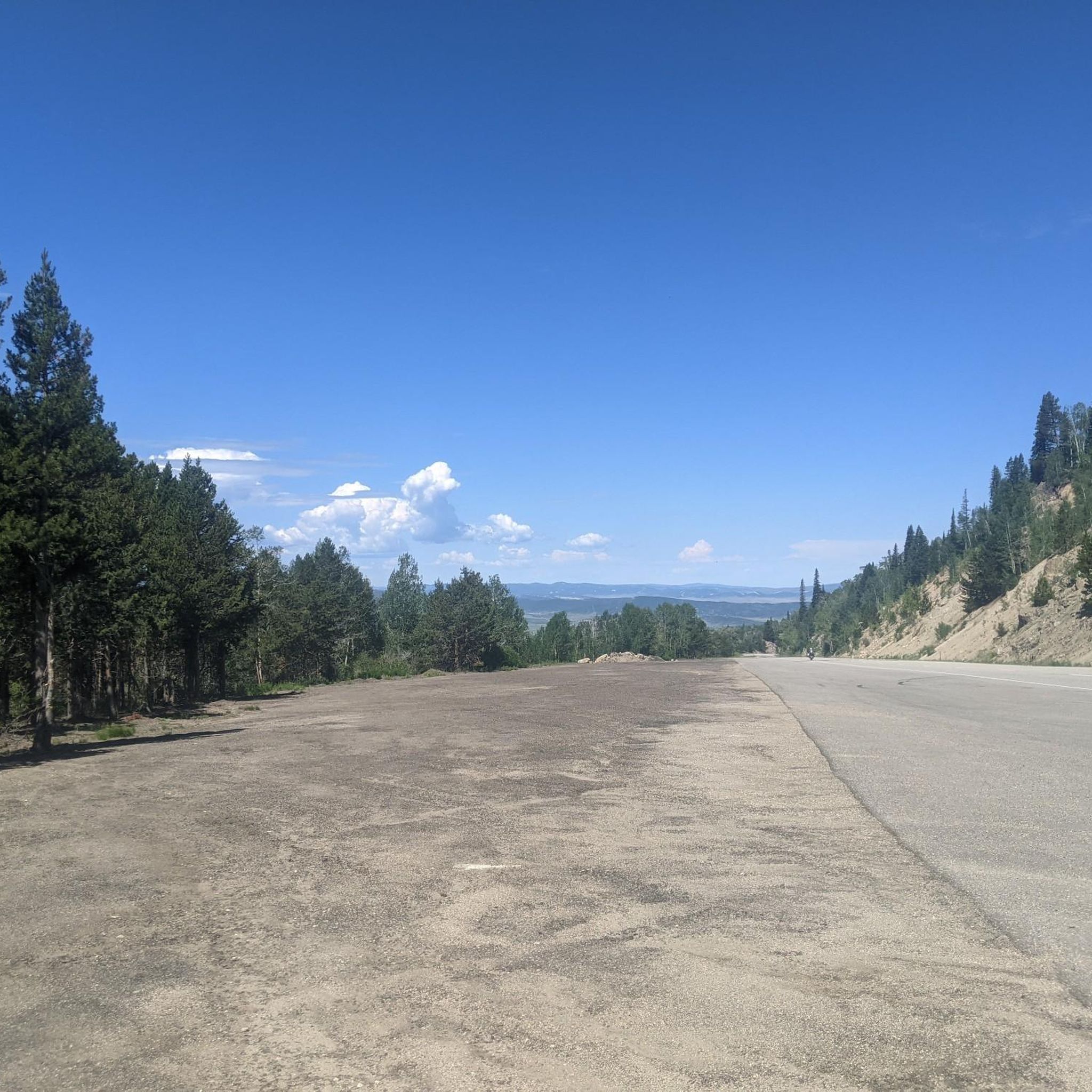
Here, you can enjoy stunning views of Rabbit Ears. It's a great place to pause and take in the views before making your way back.
0
0

Rabbit Ears Pass derives its name from a rock formation visible from the pass that resembles "rabbit ears." The pass offers stunning views of the Yampa Valley and provides excellent access to Routt National Forest.
0
0

All told, the Continental Divide Trail covers 3,100 miles as it traverses between the Mexican and Canadian borders with the U.S. For this segment, it also overlaps/coincides with the Wyoming Trail.
1
0
This dirt road makes for easy running, and offers a great view of the stumpy rock formation of Rabbit Ears Peak. (They used to be more prominent, but have been weathered down over the years.) The road eventually ties in with the Continental Divide Trail.
1
0
This dirt road makes for easy walking, and offers a great view of the stumpy rock formation of Rabbit Ears Peak. (They used to be more prominent, but have been weathered down over the years.) The road eventually ties in with the Continental Divide Trail.
1
0
This is a great spot to catch a view of Rabbit Ears Peak looming above you. The ascent to the actual peak is a technical rock climb, and the rock climb itself is very loose and crumbly — so for most trail runners, this is as far up as you'd ever want to go.
1
0

This trail takes you to the well-known Rabbit Ears Peak. As you proceed, the captivating wildflowers along the way will mesmerize you. The best time to witness their beauty is in late spring or early summer, once the snow has fully melted.
0
0
The name "Rabbit Ears" was given to this rock formation due to its resemblance to rabbit ears. However, over the years of erosion, it has lost its recognizable appearance. To reach the summit, some basic scramble skills are necessary.
0
0
Frequently Asked Questions
What kind of landscape can I expect to see in Sarvis Creek Wilderness?
Sarvis Creek Wilderness is distinct from many other Colorado wilderness areas, characterized by lush, fertile forests of lodgepole pine and Engelmann spruce-subalpine fir, interspersed with open, marshy meadows. You'll find a landscape rich in woodlands and waterways, rather than alpine tundra.
Are there any easy hiking trails suitable for beginners in Sarvis Creek Wilderness?
Yes, there are several easy options. For a pleasant, shorter walk, consider the Windy Ridge trail, which is just over 4 km. Another accessible choice is the Rabbit Ears Pass loop from West Summit, offering a 6.4 km hike with moderate elevation gain.
What are the longer hiking options available in the area?
For a more extended hike, the Base Camp Road and Continental Divide Trail Loop covers approximately 11 km. Another good option is the North Walton Peak Trail, which is nearly 10 km long and offers a moderate challenge.
Can I bring my dog on the trails in Sarvis Creek Wilderness?
Generally, dogs are permitted in wilderness areas, but it's always best to check specific regulations for Sarvis Creek Wilderness. When hiking with your dog, ensure they are under control, preferably on a leash, to protect wildlife and other hikers, and always pack out waste.
What kind of wildlife might I encounter?
The dense woodlands and meadows of Sarvis Creek Wilderness provide habitat for a variety of large mammals. You might have the opportunity to spot elk, black bears, and mountain lions, among other species. Always maintain a safe distance and never approach wildlife.
Are there any loop trails in Sarvis Creek Wilderness?
Yes, for hikers who prefer not to retrace their steps, the Rabbit Ears Pass loop from West Summit is a circular route. Another loop option is the Base Camp Road and Continental Divide Trail Loop.
What are the main natural features or landmarks to look out for?
The wilderness is defined by its extensive forests and open meadows. Sarvis Creek and Silver Creek are prominent waterways that flow through the area, eventually joining the Yampa River. These creeks offer peaceful spots and small gravel bars. While there are no specific named landmarks in the guide data, the overall natural beauty of the dense woodlands and creek systems is the main attraction.
What should I know about the terrain and potential hazards?
The terrain primarily consists of forested paths and open meadows. It's important to be aware that the area was significantly impacted by a mountain pine beetle epidemic, which has resulted in many fallen trees. These can pose safety risks and may require careful navigation on trails.
What do other hikers enjoy most about Sarvis Creek Wilderness?
The area is highly rated by the komoot community, with an average score of 4.0 stars. Reviewers often praise the opportunities for solitude and the peaceful experience offered by its dense woodlands and quiet creek systems, making it a great escape into nature.
Are there any specific regulations regarding camping or campfires?
Yes, to protect water quality and fragile vegetation, camping and campfires are prohibited within 100 feet of water sources or trails throughout the Sarvis Creek Wilderness. Please adhere to these rules to help preserve the natural environment.
How difficult are the trails in Sarvis Creek Wilderness?
The trails in this area range from easy to difficult. You'll find several easy routes like Windy Ridge, moderate options such as the North Walton Peak Trail, and more challenging hikes like Rabbit Ears Peak via Rabbit Ears Trail, which involves a more significant ascent.
Most popular routes in Sarvis Creek Wilderness

Get inspired with the komoot mobile app


Explore more
Browse the best Hikes in other regions.
