The best walks and hikes around Medicine Park
22
hikers
5
hikes
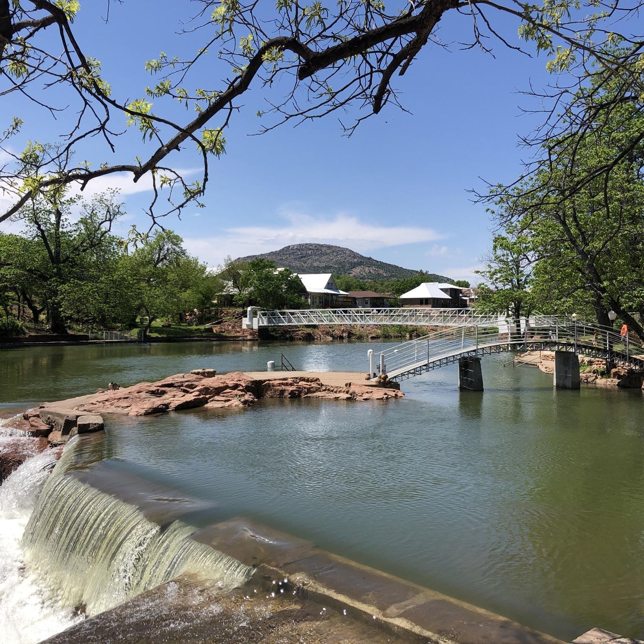
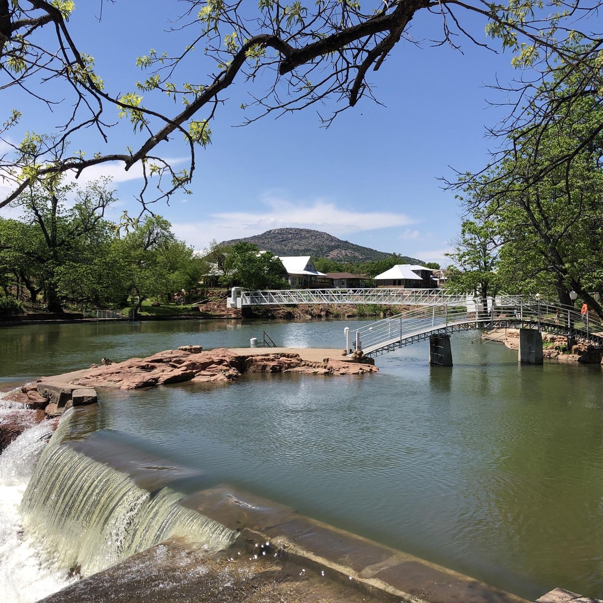
Hiking around Medicine Park offers diverse experiences within a landscape characterized by rugged granite boulders, varied elevations, and mixed-grass prairie. The region is nestled at the base of the Wichita Mountains, providing a backdrop of ancient mountains and expansive refuge lands. Water features such as Lake Lawtonka and Medicine Creek add to the scenic beauty, with historic Bath Lake providing picturesque surroundings. The area is also known for its distinctive cobblestone architecture.
Best hiking trails around Medicine Park
- The most popular hiking route is Mount Scott loop from Quetone Point, a 6.3 miles (10.2 km) trail that takes 3 hours 0 minutes to complete, featuring significant elevation gain towards Mount Scott.
- Another top favourite among local hikers is Comanche Hill – Geronimo Hill loop from Motorpool, a moderate 10.1 miles (16.2 km) path. This route traverses rolling hills and offers varied terrain.
- Local hikers also love the Feigel Point loop from Quarry Hill, a 6.4 miles (10.3 km) trail leading through areas with gentle elevation changes, often completed in about 2 hours 37 minutes.
- Hiking around Medicine Park is defined by the rugged Wichita Mountains, granite boulders, and the presence of Lake Lawtonka and Medicine Creek. The network offers options for different ability levels, from easier strolls to more demanding routes.
- More than 50 hikers have used komoot to explore Medicine Park's varied terrain. The guide includes highly-rated routes that showcase the best of the region's landscape.
Last updated: July 1, 2026
9
hikers
5.58km
01:41
310m
10m
The Mount Scott Overlook trail offers a distinctive hiking experience, primarily along a paved service road that climbs steadily to the summit. You'll be treated to sweeping, 360-degree views of the Wichita Mountains National Wildlife Refuge, the Oklahoma plains, and even distant lakes as you ascend. This moderate 3.5-mile (5.6 km) hike involves 1005 feet (306 metres) of elevation gain and typically takes about 1 hour and 41 minutes, making it a rewarding challenge for many.
Planning your visit is straightforward, with specific times set aside for hikers. The road is open only to foot traffic from sunrise to noon on Fridays, Saturdays, and Sundays, and all day Monday through Thursday, before vehicles are allowed. This is the best time to visit for a peaceful ascent and to fully appreciate the terrain and views without vehicle traffic. There are no permits required, and the trailhead is easily accessible.
Mount Scott stands out as the highest accessible mountain in the refuge, offering some of the best viewpoints in the area. Beyond the panoramic vistas, the refuge is home to diverse wildlife; you might spot buzzards, various birds, and even American buffalo or longhorn cattle. The paved surface also means some sections are wheelchair-friendly, and the mountain is a popular spot for rock climbing, adding to its unique appeal.
3
hikers
3.63km
00:56
10m
30m
The Mount Scott Nature Trail offers a unique opportunity to explore the rugged, boulder-strewn landscape of the Wichita Mountains in Oklahoma. You'll traverse a distinct rocky terrain, feeling a world away from the everyday, all while enjoying the natural beauty of the refuge. It's a fantastic way to experience the area's geology up close, with the chance to spot local wildlife like buzzards and other birds.
Planning your visit requires a bit of timing to make the most of it. Hikers get exclusive access to the mountain on Saturday and Sunday mornings until noon, and all day Monday through Thursday, from sunrise to sunset. During these times, vehicle traffic is restricted, allowing for a more peaceful and immersive experience on the trail. This makes it an ideal choice for a morning outing or a weekday escape.
Mount Scott itself is a prominent landmark, rising 2,464 feet above sea level and offering some of the highest and most expansive views in southwest Oklahoma. From the summit, you can take in vast stretches of the plains, a truly breathtaking panorama. Keep an eye out for American buffalo or longhorn within the wider refuge, adding to the wild appeal of this easy 2.3-mile (3.6 km) hike, which only involves 36 feet (11 metres) of elevation gain and takes about 56 minutes.

Sign up for free
6
hikers
16.2km
04:10
70m
70m
The Comanche Hill – Geronimo Hill loop from Motorpool offers a diverse hiking experience, blending shaded paths with open viewpoints. You'll traverse a mix of paved, gravel, and natural dirt trails, passing through native oak and Ashe juniper woodlands. The real payoff comes at the summit of Comanche Hill, the fourth-highest point in Bexar County, where you can enjoy expansive views of San Antonio and the Texas Hill Country, complete with a unique medieval-style stone tower.
This moderate 10.1-mile (16.2 km) loop involves 238 feet (73 metres) of elevation gain and typically takes around 4 hours and 10 minutes. While generally accessible, be prepared for some steeper sections, particularly on the ascent to Comanche Hill. The park is dog-friendly, providing mutt mitts, and starting early is advisable to beat the heat, especially if you're looking for a family-friendly outing.
Comanche Hill holds significant historical value, having served as a strategic lookout point for Native American groups for thousands of years. Later, parts of the trail were incorporated into El Camino Real de los Tejas, an old Spanish road. This rich history, combined with the panoramic views and varied terrain, makes the route a notable option among hiking trails in the San Antonio area.
2
hikers
10.3km
02:36
20m
20m
Embark on the Feigel Point loop from Quarry Hill for a refreshing journey through the varied ecosystems of Quarry Hill Park. You'll wander through peaceful woodlands, expansive meadows, and vibrant oak savannas, with the trail offering glimpses of the park's natural beauty and historical significance. Keep an eye out for the fascinating limestone fossil quarry, a unique landmark where you can discover remnants of ancient ocean life.
This moderate 6.4-mile (10.3 km) hiking route, with a minimal 64 feet (20 metres) of elevation gain, is estimated to take about 2 hours and 36 minutes. The trailhead is conveniently located at Quarry Hill Park in Rochester, Minnesota, which offers ample parking. It's a great option for a relaxed outing, and starting earlier in the day allows you to fully explore the park's features and avoid any potential crowds.
Quarry Hill Park is a 329-acre natural area known for its rich history and diverse wildlife, including deer and various bird species. Beyond the fossil quarry, you can also explore historic sandstone caves and visit the Quarry Hill Nature Center to learn more about the local environment. This trail provides a fantastic opportunity to experience a blend of natural scenery and historical exploration within a well-maintained park setting.
2
hikers
15.4km
03:58
80m
80m
Moderate hike. Good fitness required. Easily-accessible paths. Suitable for all skill levels.
Our route recommendations are based on thousands of hikes, rides, and runs completed by other people on komoot.
Start today with a free account
Your next adventure awaits.
Login or Signup
Popular around Medicine Park
Tips from the Community

People with approved DoD IDs are allowed to enter Fort Sill and visit Adams Hill. Civilians must seek permission from the Fort Sill Visitor Center. Adams Hill, situated at an elevation of 1214 feet, is a unique place to visit because of its tar pit. It may look like a regular pond, but if you look at the edges, you can see the tar and smell the tar. The tar here has been used for centuries by native people and settlers. Today, the tar pit is an attraction with an information plaque and is left alone.
0
0

2,464-foot (751 m) Mount Scott is one of the tallest peaks in Oklahoma, and offers correspondingly great vistas. You can bike the three-mile paved road to the summit, but it is only open to pedestrians and cyclists from 6am-9:30am.
0
0

Upon reaching the summit of Mount Scott, a towering peak near Lawton, Oklahoma, at 2,464 feet in the Wichita Mountains, bask in the awe-inspiring, panoramic views that unfold before you. Marvel at the beauty that stretches across the landscape, making the journey well worth the effort.
0
0
Frequently Asked Questions
What kind of terrain can I expect on hiking trails around Medicine Park?
The hiking trails around Medicine Park are characterized by diverse terrain, ranging from rugged red granite boulders and varying elevations within the Wichita Mountains to mixed-grass prairie. You'll encounter areas with cobblestones, rock gardens, and abundant tree cover, especially along the Lawtonka Trails. Routes within the Wichita Mountains Wildlife Refuge can be quite rugged, featuring granite landscapes and dense cedar and juniper.
Are there any family-friendly hiking options in Medicine Park?
Yes, Medicine Park offers a variety of hiking experiences suitable for different skill levels, including easier strolls. While specific 'easy' routes aren't detailed, the region's diverse network means you can find paths that are less demanding, particularly along Medicine Creek or within the Lawtonka Trails, which have varying difficulties. The Wichita Mountains Wildlife Refuge also has trails suitable for a range of abilities.
Can I bring my dog on the hiking trails in Medicine Park or the Wichita Mountains Wildlife Refuge?
While Medicine Park itself may have varying local rules, the Wichita Mountains Wildlife Refuge, a major hiking destination nearby, generally has restrictions on pets to protect wildlife. It's best to check the specific regulations for the refuge before planning a hike with your dog. Many trails within the refuge may not permit dogs.
Are there any circular hiking routes available in the Medicine Park area?
Yes, many of the popular hiking routes around Medicine Park are circular, offering varied scenery without retracing your steps. Examples include the Mount Scott loop from Quetone Point, the Kiowa Hill – Comanche Hill loop from Medicine Park, and the Cemetery loop from Medicine Park.
What natural features or landmarks can I see while hiking near Medicine Park?
Hikers can enjoy a wealth of natural features and landmarks. The majestic Wichita Mountains provide a dramatic backdrop, with Mount Scott offering panoramic views. Water features like Lake Lawtonka and Medicine Creek are prominent, and you can visit Bath Lake, a historic swimming hole known for its picturesque surroundings and waterfalls. The region is also home to the Wichita Mountains Wildlife Refuge, where you might spot American bison, elk, deer, and longhorn cattle.
What is the best time of year to go hiking in Medicine Park?
Medicine Park offers hiking opportunities year-round. Spring and fall are particularly pleasant, with milder temperatures and vibrant natural colors. Summer provides abundant tree cover for shade, while winter offers a different kind of beauty, with opportunities for trout fishing at Bath Lake. Always check local weather conditions before heading out.
Is parking available at the trailheads in Medicine Park and the Wichita Mountains Wildlife Refuge?
Yes, parking is generally available at trailheads and popular access points. For example, the Kiowa Hill loop starts from a Visitor Parking area. Within the Wichita Mountains Wildlife Refuge, designated parking areas are provided for trail access. It's always advisable to arrive early during peak seasons to secure a spot.
Are there any waterfalls to see on the trails near Medicine Park?
Yes, the region features beautiful water elements. Bath Lake, a historic swimming hole along Medicine Creek, is known for its picturesque surroundings and waterfalls. Additionally, rocky trails in the Charons Garden Wilderness Area within the Wichita Mountains Wildlife Refuge are noted for leading to hidden waterfalls.
How many hiking trails are there in the Medicine Park area?
The Medicine Park area, including the nearby Wichita Mountains Wildlife Refuge, offers a comprehensive network of trails. This guide highlights 7 distinct hiking routes, with options ranging from easy to moderate difficulty, ensuring there's a path for every adventurer.
Do I need a permit to hike in the Wichita Mountains Wildlife Refuge?
Generally, permits are not required for day hiking on established trails within the Wichita Mountains Wildlife Refuge. However, specific activities or access to certain wilderness areas might have different regulations. It's always a good practice to check the official Wichita Mountains Wildlife Refuge website for the most current information regarding permits or special access requirements before your visit.
What amenities are available in Medicine Park for hikers, such as cafes or accommodation?
Medicine Park is a charming town with distinctive cobblestone architecture, offering amenities for visitors. You'll find cafes and pubs where you can refuel after a hike. There are also various accommodation options available, from quaint inns to cabins, providing a comfortable base for exploring the surrounding trails and natural attractions.
What is the elevation gain like on trails around Medicine Park?
The elevation gain on trails around Medicine Park varies significantly depending on the route. For instance, the Mount Scott loop from Quetone Point involves a significant elevation gain of over 300 meters as it ascends Mount Scott. Other routes, like the Kiowa Hill – Comanche Hill loop, have more moderate elevation changes, around 70 meters, traversing rolling hills.
Most popular routes around Medicine Park

Get inspired with the komoot mobile app


Explore more
Browse the best Hikes in other regions.
