The best running trails around Upper Marlboro
12
runners
4
runs
Jogging routes around Upper Marlboro feature diverse natural landscapes, extensive trail networks, and several notable parks and sanctuaries. The region is characterized by rivers, woodlands, wetlands, and open countryside, providing varied and scenic backdrops for running. The generally gentle terrain and minimal elevation changes make it accessible for joggers of varying fitness levels.
Best jogging routes around Upper Marlboro
- The most popular jogging route is Rosaryville State Park loop from Rosaryville State Park, a 11.4 miles (18.4 km) trail…
Last updated: June 2, 2026
4
runners
4.94km
00:36
20m
20m
Easy run. Great for any fitness level. Mostly paved surfaces. Suitable for all skill levels.
7
runners
3.78km
00:23
20m
20m
Easy run. Great for any fitness level. Mostly paved surfaces. Suitable for all skill levels.

Sign up for free
2
runners
8.51km
00:54
40m
40m
Moderate run. Good fitness required. Mostly paved surfaces. Suitable for all skill levels.
Our route recommendations are based on thousands of hikes, rides, and runs completed by other people on komoot.
Start today with a free account
Your next adventure awaits.
Login or Signup
Popular around Upper Marlboro
Tips from the Community

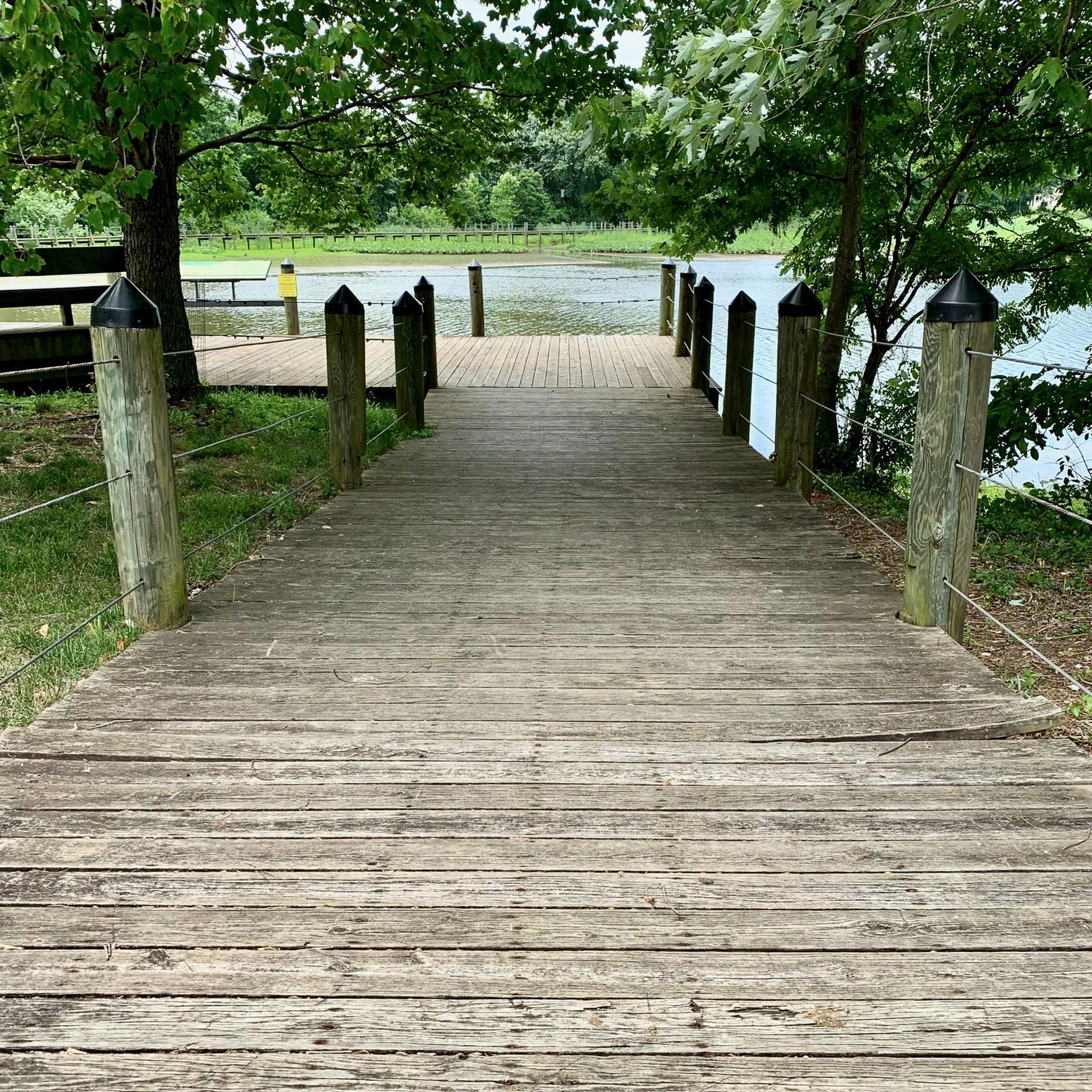
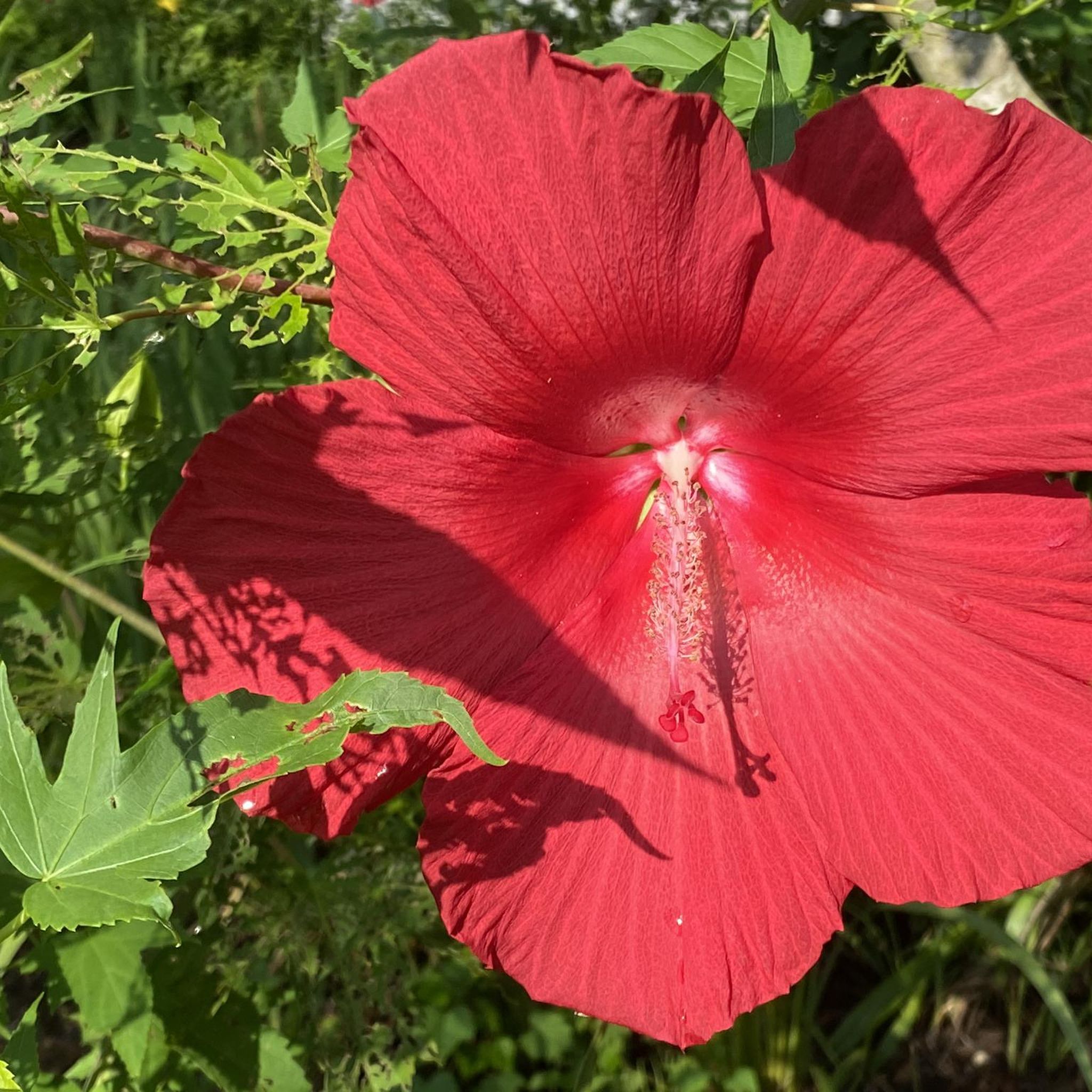
This is a beautiful path through the park's woodlands, wetlands, and meadows. The trail is mostly level and shaded, providing a delightful hiking experience where you may spot some deer. For optimal conditions, plan your hike between mid-September and late June. If visiting in the summer, be prepared for an abundance of spiderwebs along the path, especially in July and August.
0
0
Frequently Asked Questions
How many running routes are available in Upper Marlboro?
Komoot features 5 diverse running routes around Upper Marlboro. These include easy loops perfect for a quick jog, as well as more challenging trails for experienced runners.
What kind of terrain can I expect on jogging trails in Upper Marlboro?
The jogging routes in Upper Marlboro offer a variety of scenic backdrops, characterized by rivers, woodlands, wetlands, and open countryside. The terrain is generally gentle with minimal elevation changes, making it accessible for various fitness levels.
Are there routes suitable for beginners or those looking for an easy run?
Yes, Upper Marlboro has 3 easy running routes. A great option is the Running loop from Patuxent River, an easy 3.1-mile (4.9 km) path that explores river and marsh ecosystems. Another easy choice is the Watkins Regional Park loop from Mitchellville, a 2.1-mile (3.4 km) trail through woodlands and meadows.
What about longer or more challenging running options in Upper Marlboro?
For those seeking a longer or more challenging run, the Rosaryville State Park loop from Rosaryville State Park is a difficult 11.4-mile (18.4 km) trail that winds through extensive parklands, taking about 2 hours and 15 minutes to complete.
Are the jogging trails in Upper Marlboro dog-friendly?
Many parks in Upper Marlboro, such as Watkins Regional Park and Rosaryville State Park, generally welcome dogs on trails, typically requiring them to be on a leash. It's always best to check specific park regulations before heading out with your canine companion.
Can I find family-friendly running paths in Upper Marlboro?
Absolutely! Parks like Watkins Regional Park offer trails suitable for families. The Watkins Regional Park loop from Mitchellville is an easy 2.1-mile route that's great for a family outing. Additionally, Schoolhouse Pond offers a serene 1.0-mile loop trail through a tranquil pond area, perfect for a peaceful family run.
What natural features or landmarks can I see while running in Upper Marlboro?
While running, you can explore diverse natural landscapes. Highlights include the extensive woodlands and wetlands of Watkins Regional Park, the scenic trails and wildlife at Merkle Wildlife Sanctuary, and the river and marsh ecosystems around Patuxent River Park - Jug Bay Natural Area. You might also encounter Northampton Lake on some routes.
Are there opportunities for wildlife spotting on the running routes?
Yes, the region's diverse ecosystems, particularly around Merkle Wildlife Sanctuary and Jug Bay Wetlands Sanctuary / Patuxent River Park, provide excellent opportunities for wildlife observation. Runners often spot various bird species and other local fauna, especially in the wetland areas.
Is parking available at the trailheads in Upper Marlboro?
Yes, most major parks and trailheads in Upper Marlboro, such as Watkins Regional Park, Rosaryville State Park, and Jug Bay Natural Area, offer designated parking facilities for visitors. It's advisable to check specific park websites for any parking fees or regulations.
How can I access the running routes using public transport?
While some parks like Watkins Regional Park and Patuxent River Park are accessible by public transport, direct access to all trailheads might be limited. It's recommended to check local bus schedules and routes, such as those provided by TheBus in Prince George's County, for the most up-to-date public transport options to specific park entrances.
What is the best time of year to go running in Upper Marlboro?
Upper Marlboro's trails are enjoyable year-round, but spring and fall offer particularly pleasant conditions with mild temperatures and vibrant scenery. Summer can be warm and humid, while winter runs can be beautiful, especially after a light snowfall, though some trails might be muddy or icy.
What do other runners say about the routes in Upper Marlboro?
Over 50 runners have used komoot to explore Upper Marlboro's varied terrain. They often praise the diverse natural landscapes, the extensive trail networks, and the peaceful, scenic backdrops that make for an enjoyable running experience.
Most popular routes around Upper Marlboro
Most popular attractions around Upper Marlboro

Get inspired with the komoot mobile app


Explore more
Browse the best Running Trails & Routes in other regions.
